
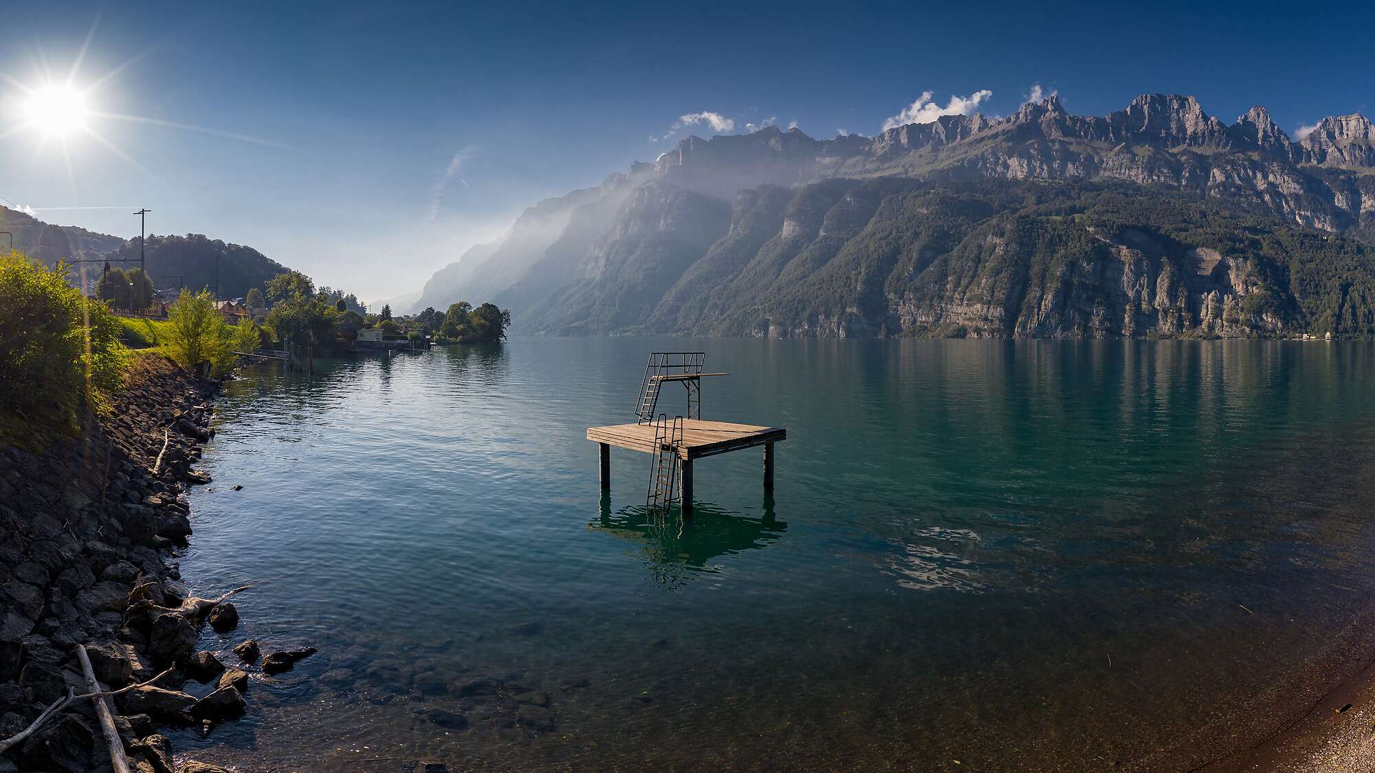
Welcome to Mols!
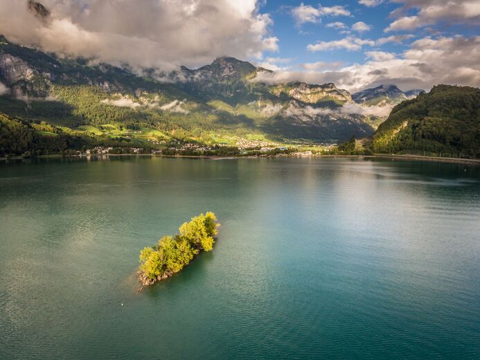
The boundaries of the municipality of Mols are as follows: Hählkurve - lake - large island - Sagenbach in Unterterzen - motorway - eastwards to Unterste Schlinge - uphill Stelliberg - Molseralp - Winkelzahn - Stellisattel to Zigerspitze - eastwards to Maschgenkamm to Prodchamm - Obersäss - Kreuz - Tannenboden - Oberfäsch - Raischibä to Hählkurve.
The local community of Mols is an interesting...
Welcome to Mols!
The boundaries of the municipality of Mols are as follows: Hählkurve - lake - large island - Sagenbach in Unterterzen - motorway - eastwards to Unterste Schlinge - uphill Stelliberg - Molseralp - Winkelzahn - Stellisattel to Zigerspitze - eastwards to Maschgenkamm to Prodchamm - Obersäss - Kreuz - Tannenboden - Oberfäsch - Raischibä to Hählkurve.
The local community of Mols is an interesting entity in that the Gamperdon Alp, which belongs to the Mols Alpine Corporation, is located within its boundaries.
In contrast to other local communities, Mols has its own water corporation responsible for the water supply.
Mols owns 110 hectares of forest with a felling rate of 500 m3. Logging is contracted out on a piecework basis. In addition, around 13 hectares of land are leased. In addition to the maintenance of its own roads by a foreman, maintenance arrangements are made with the political municipality. The first grazing regulations in Mols date back to 1475, while in 1638 the "Oberholz" appears as a ban forest.
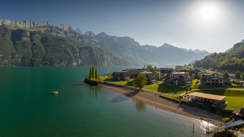
In 1954, the local community of Mols built the community centre with rooms for the fire brigade and dairy as well as a hall for the public. It has been responsible for the maintenance of the Mols railway station since 1949 and a good source of income is interest from the harbour and the holiday homes on the lake.
Text: www.quarten.ch

Póngase en contacto con nosotros



Senderismo y rastreo




No se pierda las ofertas y la inspiración para sus próximas vacaciones
Su dirección de correo electrónico se ha añadido a la lista de correo.





