


IM_04 Monte Saccarello da Realdo

From the little square just outside Realdo (1010 m) take the mule-track which rises up along the slope (Via Crucis). At the church of Sant'Antonio (1203 m) you find the road which goes to Bassa di Sanson....
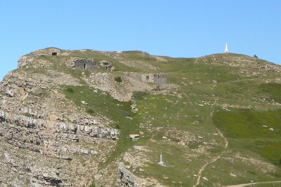
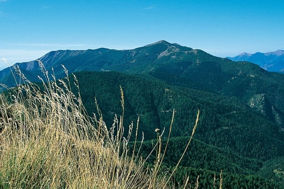
From the little square just outside Realdo (1010 m) take the mule-track which rises up along the slope (Via Crucis). At the church of Sant'Antonio (1203 m) you find the road which goes to Bassa di Sanson. Follow this road for a few dozens metres, then take the mule-track which rises through a wood and crosses the ex-military road from Colla Melosa to San Bernardo di Mendatica at 1585 m above sea level. Cross this road and reach the above Collardente Pass (1601 m; 1.30-2 hours from Realdo) on the border ridge between Italy and France. At the pass you find the High Way of Ligurian Mountains (AVML) which you follow going right on the dirt road which rises with two hairpin turns. As soon as the road becomes flat between the larches take a footpath to the right which rises along the steep south-south western side of Monte Saccarello. Walk uphill along the western side of the mountain and then, by some hairpin turns, cross a steep grassy slope. Below the rocks near the summit of the mountain the footpath goes leftwards, it passes a little pass and it reaches the extremely steep slope of the north-western side, before reaching the watershed between Roya and Tanaro at Saccarello Pass (2145 m, signpost). The view opens towards the Tanarello Valley and the main peaks of the Ligurian Alps. Walking uphill to the right, along a grassy ridge you find the dirt road from Monesi, which you follow uphill for a short stretch, before taking a track to the right between grass and rhododendrons which takes to the top of Monte Saccarello (2200 m; 2 hours from Collardente Pass). The return itinerary is along the same path.


from Arma di Taggia motorway exit (Genova-Ventimiglia motorway) take the road to the left towards the Argentina Valley and, past Triora, continue along the upper valley as far as Realdo.
Nature and Landscape * * * * * * Family * * Gourmet * * * * Culture * * * * *


Actividades a lo largo del recorrido

Rutas populares en los alrededores
-
Vías Históricas de Montaña | Alta Via del Sale, la carretera blanca de los Alpes del Mar
pesadoMountainbike 104,8 km -
The Upper Salt Road, from the Alps to the sea
pesadoMountainbike 112,7 km -
IM_13 Ring path of Triora
Senderismo 8,70 km -
IM_02 Paso de Teglia - Paso de la Media Luna - Monte Mónega
Senderismo 14,3 km -
5,0
Vuelta a Marguareis | Etapa 4 Refugio de Mongioie - Refugio Don Barbera
medioSenderismo 11,6 km -
AVML Etapa nº 06: Sella della Valletta - Colla S. Bernardo di Mendatica
Senderismo 8,04 km -
IM_05 Colla Melosa – Monte Pietravecchia
Senderismo 4,10 km -
Montañas marinas
pesadoMountainbike 48,0 km -
AVML Etapa nº 05: Colla d'Agnaira - Sella della Valletta
Senderismo 14,5 km -
AVU Alta Via dei Lupi | Etapa 2 Rifugio Mondovì - Rifugio Don Barbera
medioSenderismo 14,6 km
Senderismo y rastreo


No se pierda las ofertas y la inspiración para sus próximas vacaciones
Su dirección de correo electrónico se ha añadido a la lista de correo.


