


The Upper Salt Road, from the Alps to the sea
Nivel de dificultad: S2
Fotos de nuestros usuarios
-
 © Fabrizi MellanoCreado el 04.04.2026
 -
 © Fabrizi MellanoCreado el 04.04.2026
 -
 © Fabrizi MellanoCreado el 31.10.2025
 -
 © Fabrizi MellanoCreado el 31.10.2025
 -
 © Fabrizi MellanoCreado el 31.10.2025
 -
 © Fabrizi MellanoCreado el 31.10.2025
 -
 © Fabrizi MellanoCreado el 31.10.2025
 -
 © Fabrizi MellanoCreado el 31.10.2025
 -
 © Fabrizi MellanoCreado el 31.10.2025
 -
 © Fabrizi MellanoCreado el 31.10.2025
 -
 © Fabrizi MellanoCreado el 17.09.2025
 -
 © Fabrizi MellanoCreado el 17.09.2025
 -
 © Fabrizi MellanoCreado el 17.09.2025
 -
 © Fabrizi MellanoCreado el 17.09.2025
 -
 © Fabrizi MellanoCreado el 17.09.2025
 -
 © Fabrizi MellanoCreado el 17.09.2025
 -
 © Fabrizi MellanoCreado el 30.05.2025
 -
 © Fabrizi MellanoCreado el 30.05.2025
 -
 © Fabrizi MellanoCreado el 30.05.2025
 -
 © Fabrizi MellanoCreado el 30.05.2025
 -
 © Fabrizi MellanoCreado el 30.05.2025
 -
 © Fabrizi MellanoCreado el 30.05.2025
 -
 © Fabrizi MellanoCreado el 30.05.2025
 -
 © Fabrizi MellanoCreado el 30.05.2025
 -
 © Fabrizi MellanoCreado el 30.05.2025
 -
 © Fabrizi MellanoCreado el 20.03.2026
 -
 © Fabrizi MellanoCreado el 20.03.2026
 -
 © Fabrizi MellanoCreado el 20.03.2026
 -
 © Fabrizi MellanoCreado el 20.03.2026
 -
 © Fabrizi MellanoCreado el 20.03.2026
 -
 © Andrea ArgiolasCreado el 09.02.2026
 -
 © Andrea ArgiolasCreado el 09.02.2026
 -
 © Fabrizi MellanoCreado el 23.11.2025
 -
 © Fabrizi MellanoCreado el 23.11.2025
 -
 © Fabrizi MellanoCreado el 23.11.2025
 -

 © simone ravasiCreado el 21.10.2025
 -
 © simone ravasiCreado el 21.10.2025
 -
 © simone ravasiCreado el 21.10.2025
 -
 © simone ravasiCreado el 21.10.2025

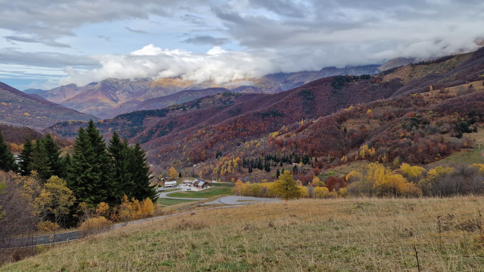


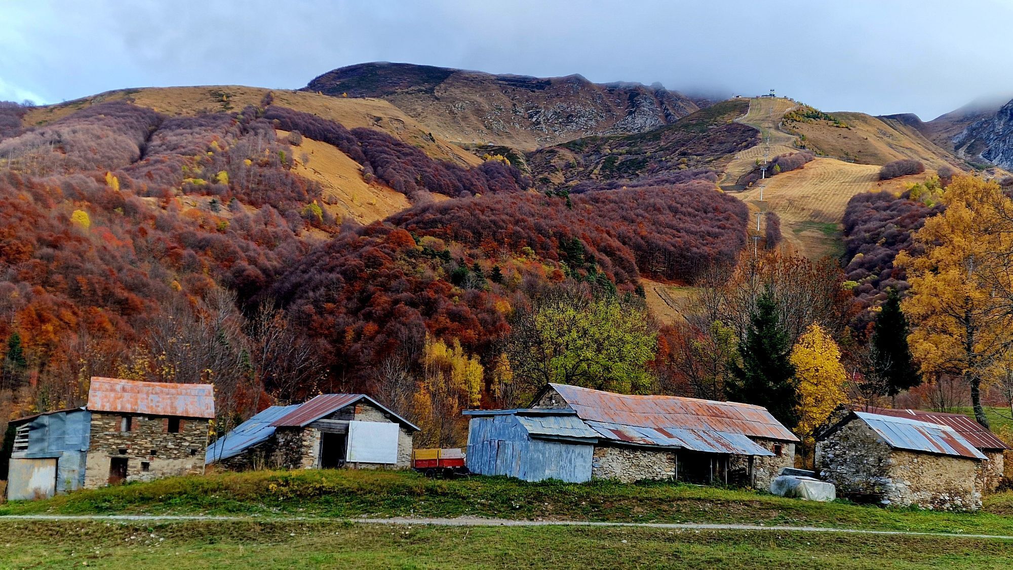

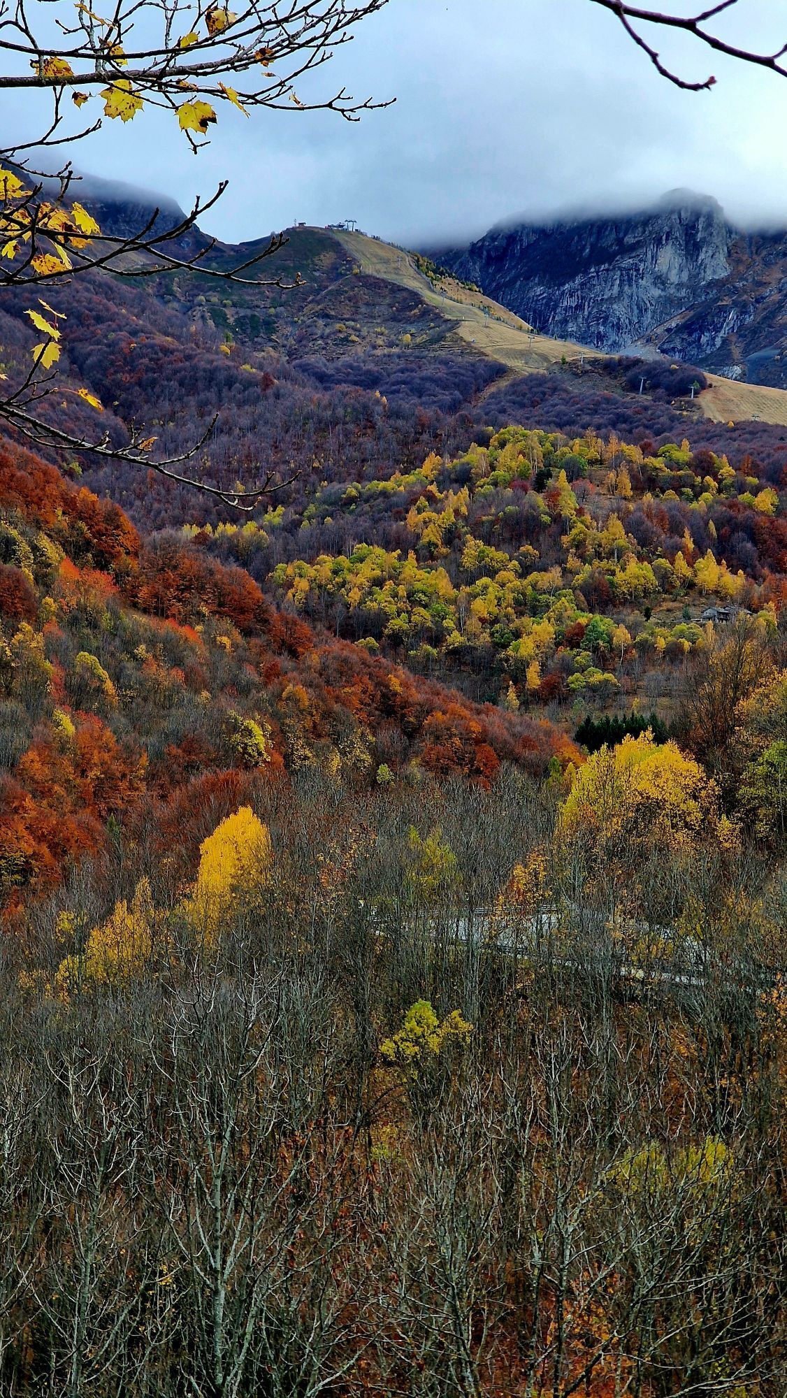
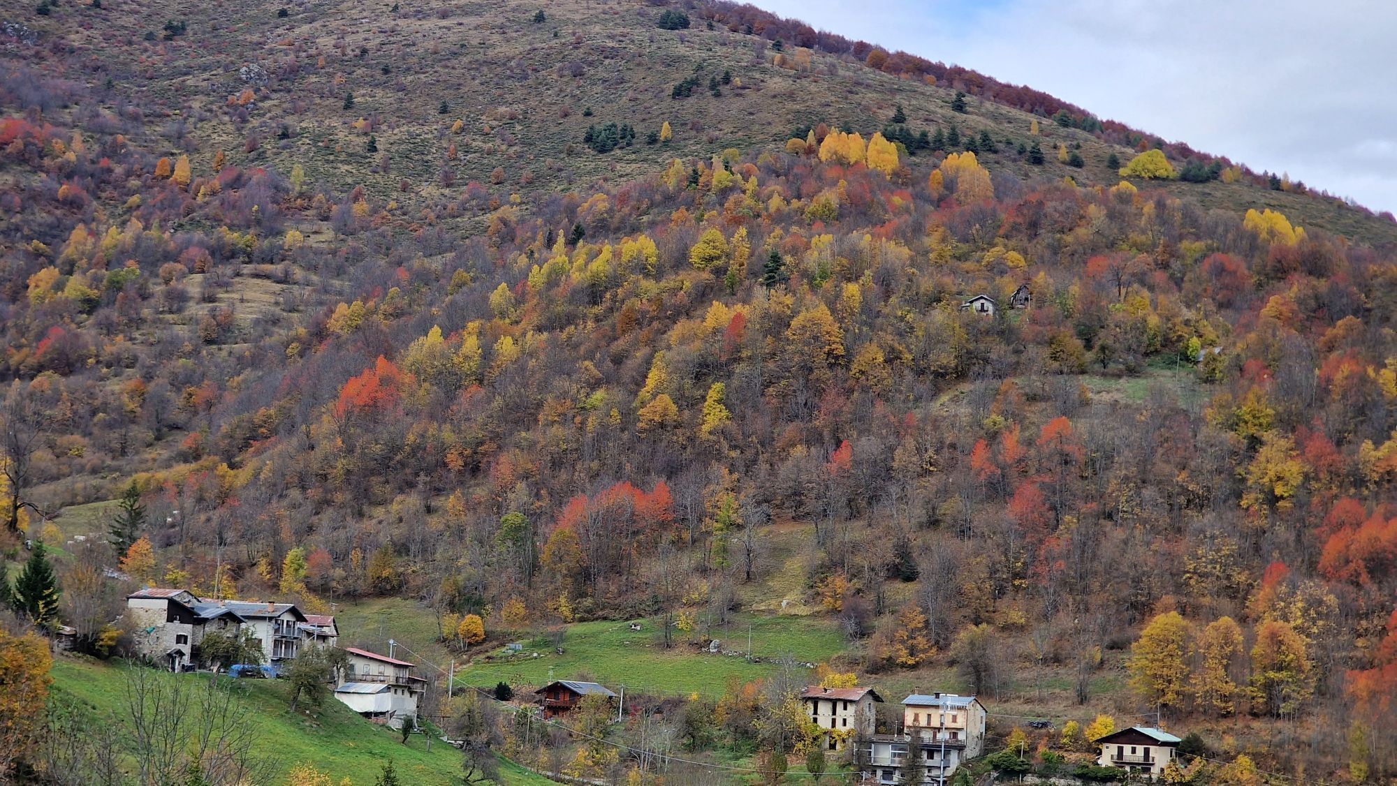


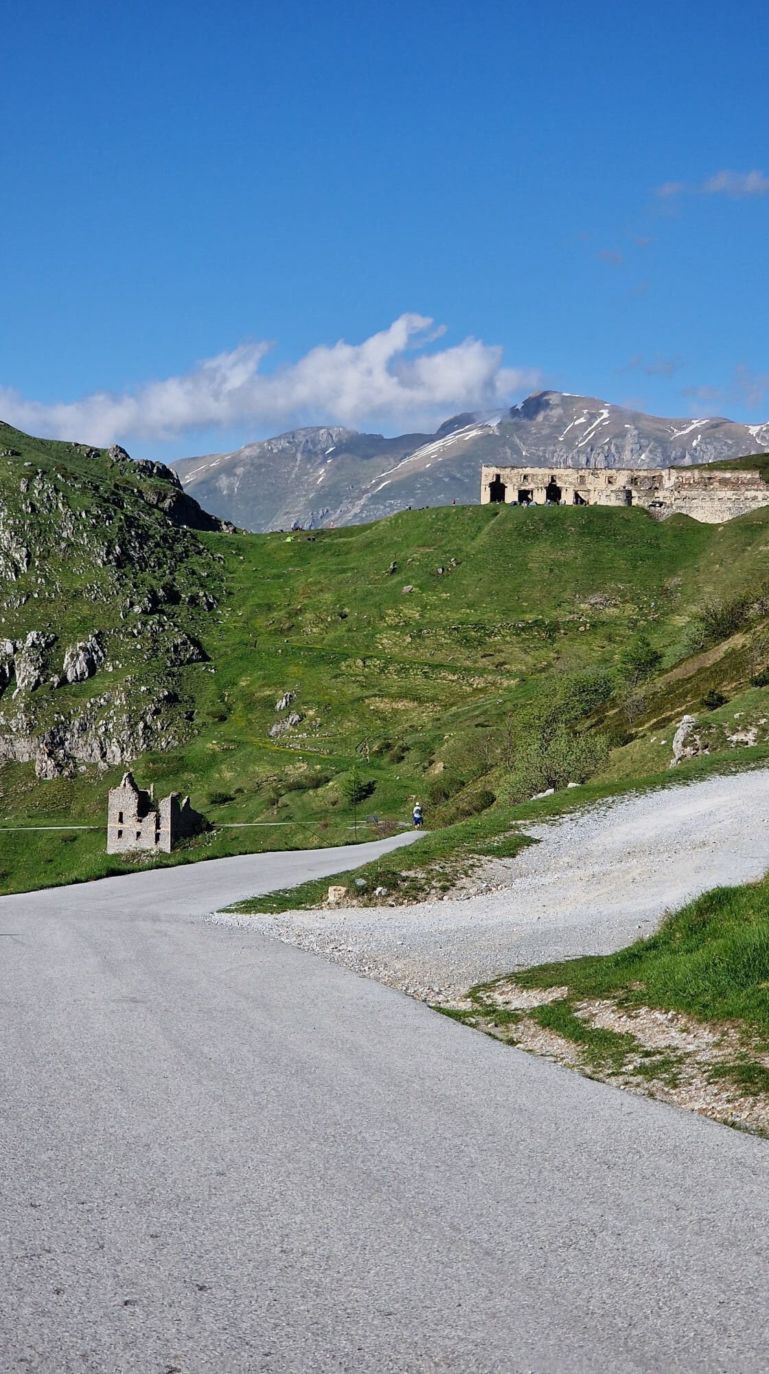
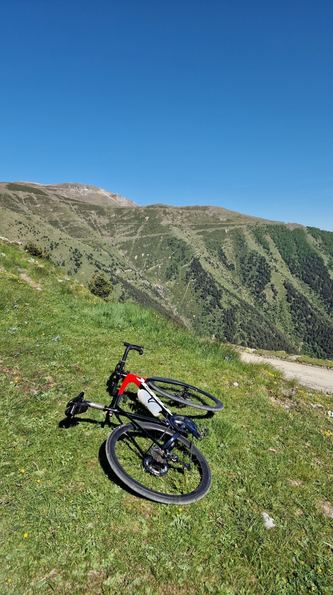
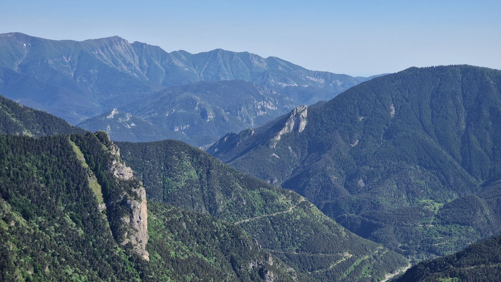
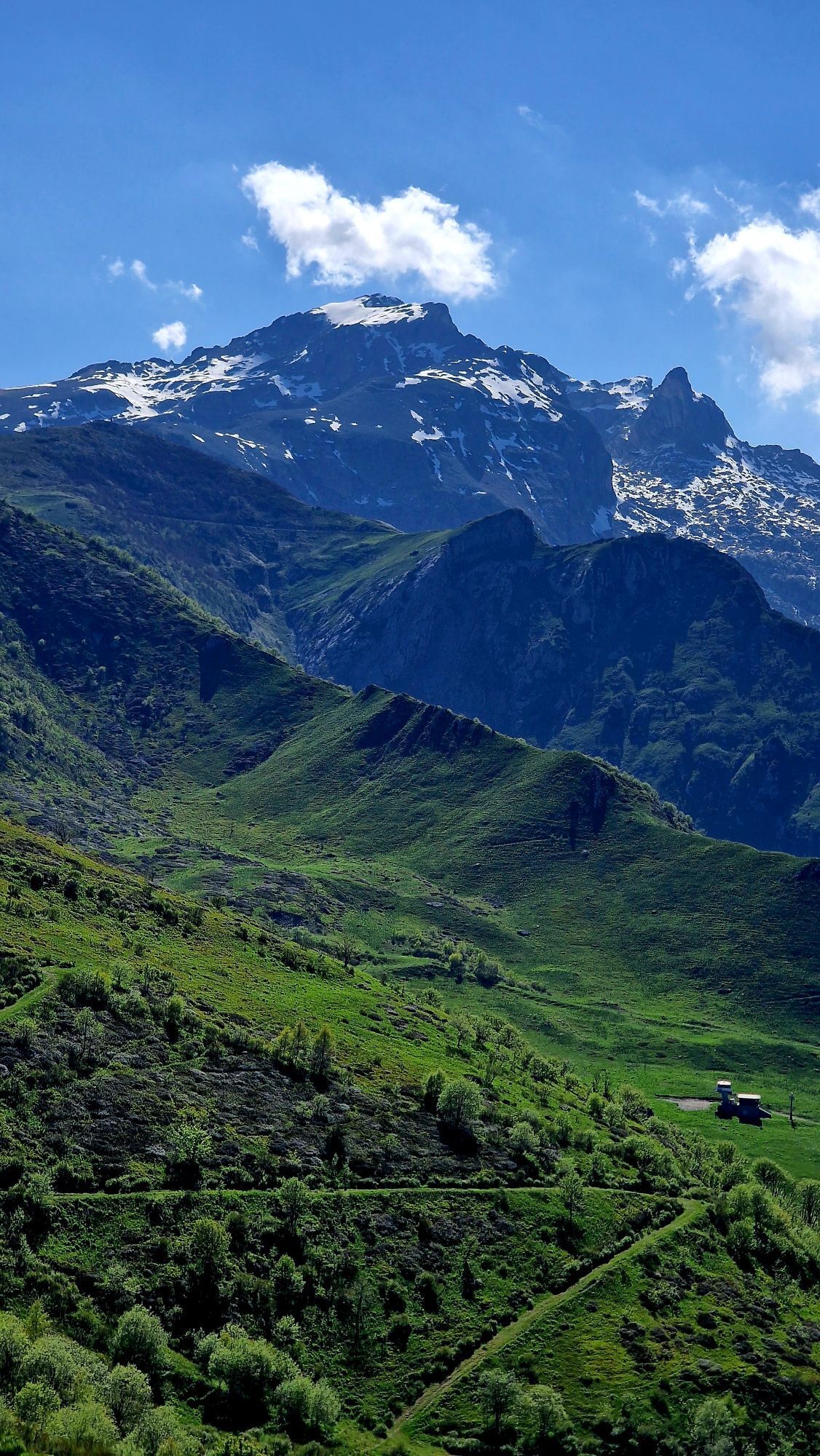


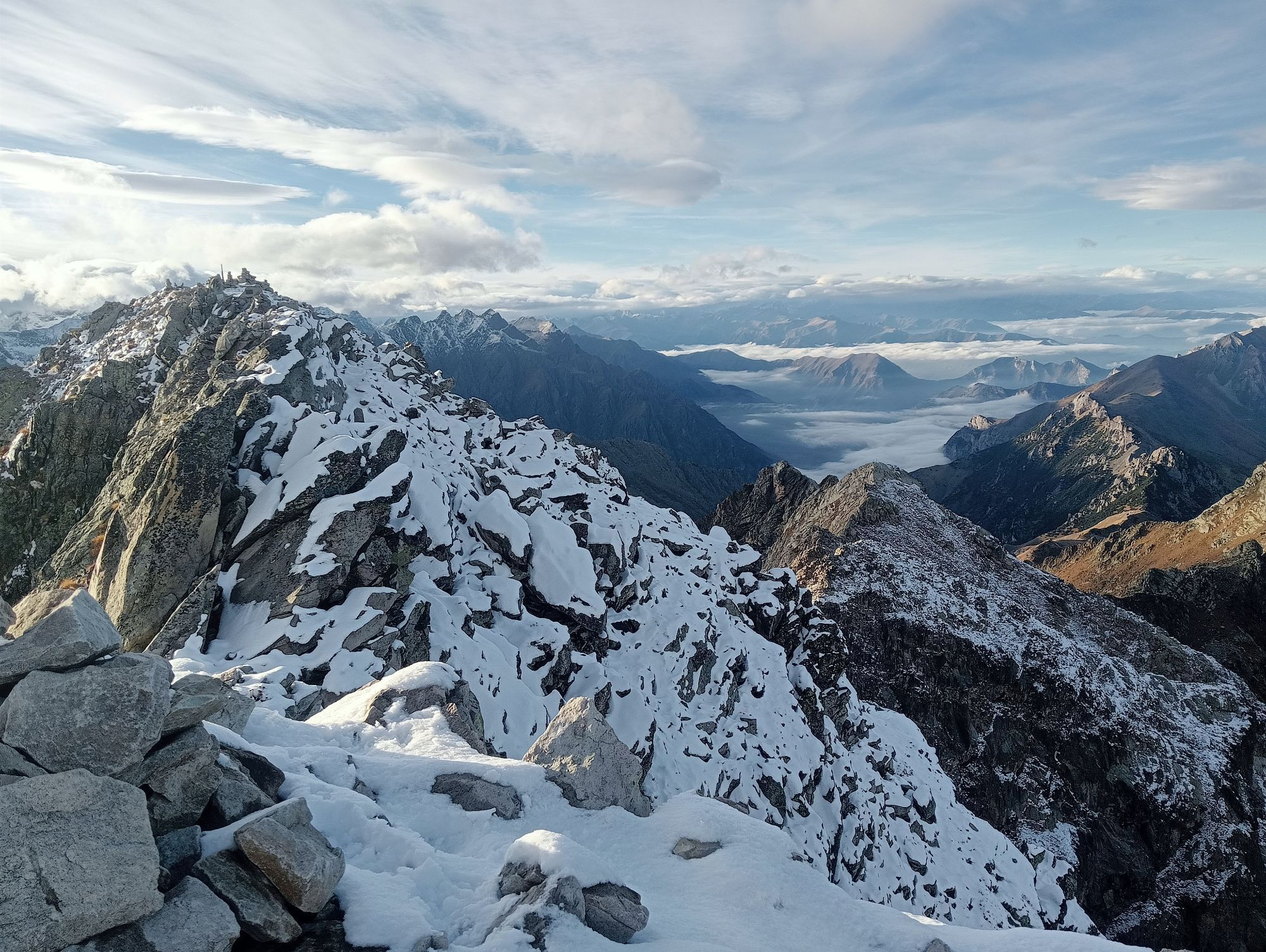
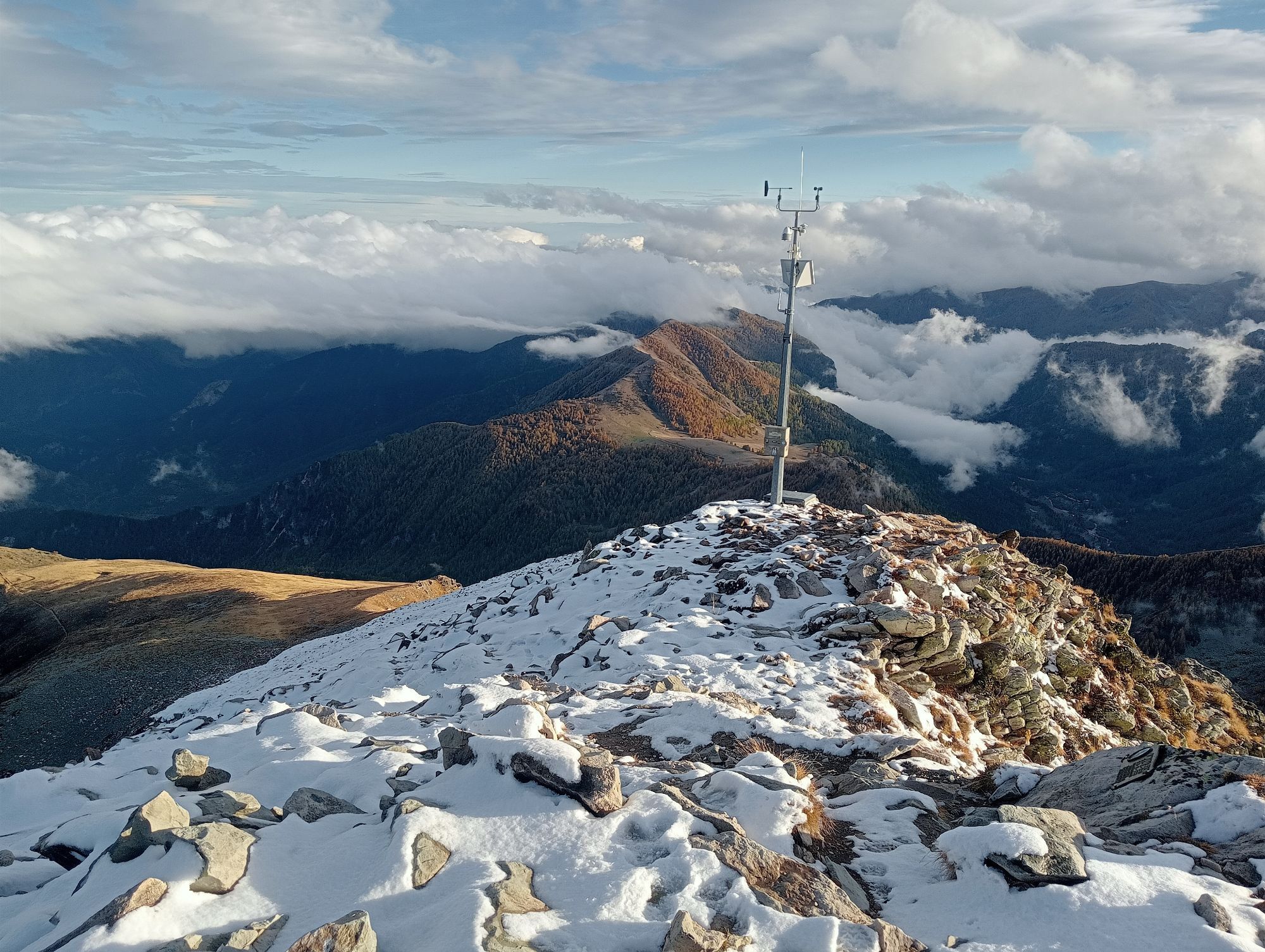
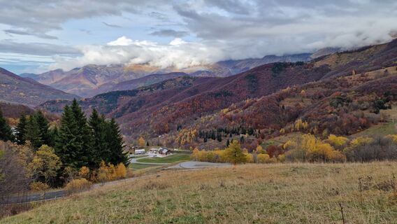
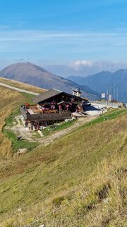
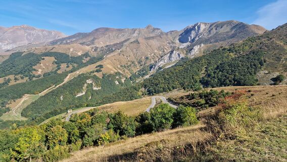
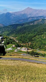
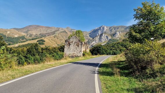
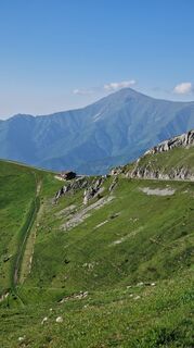
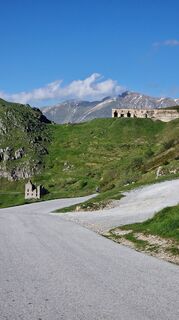
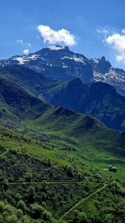
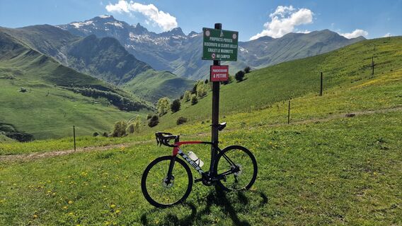
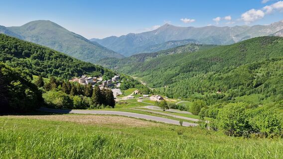
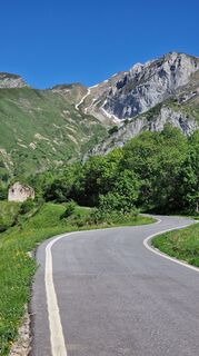
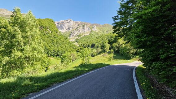
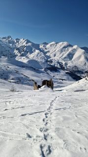
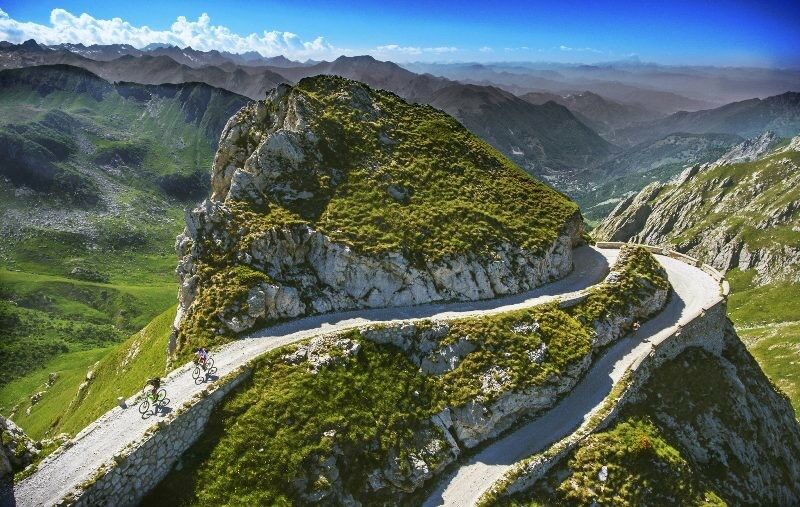
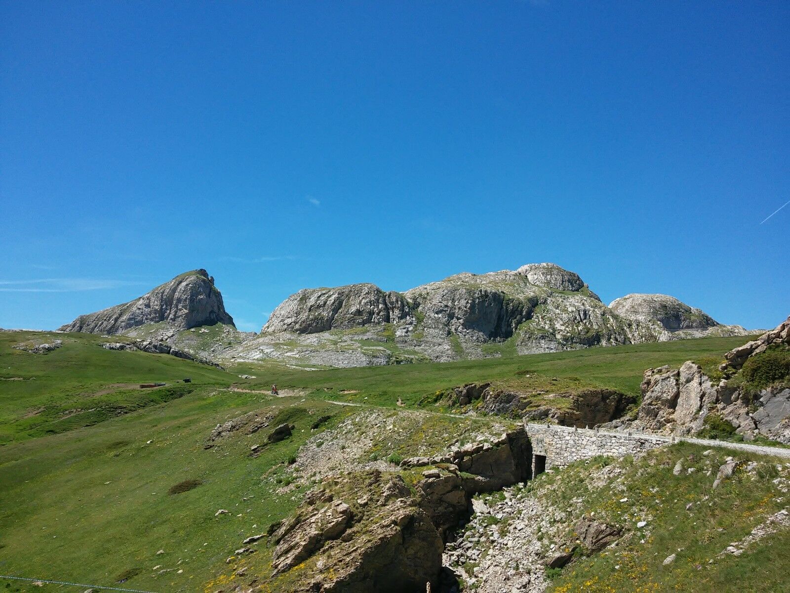
The Alta Via del Sale (High Salt Trail) is a dense network of trails that leads from Limone Piemonte to the Tenda Pass, continuing at high altitude with climbs and descents to Ventimiglia through scenic...
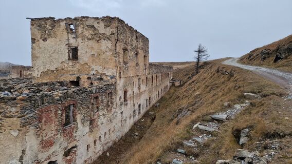
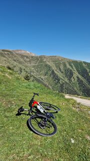
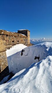
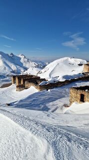
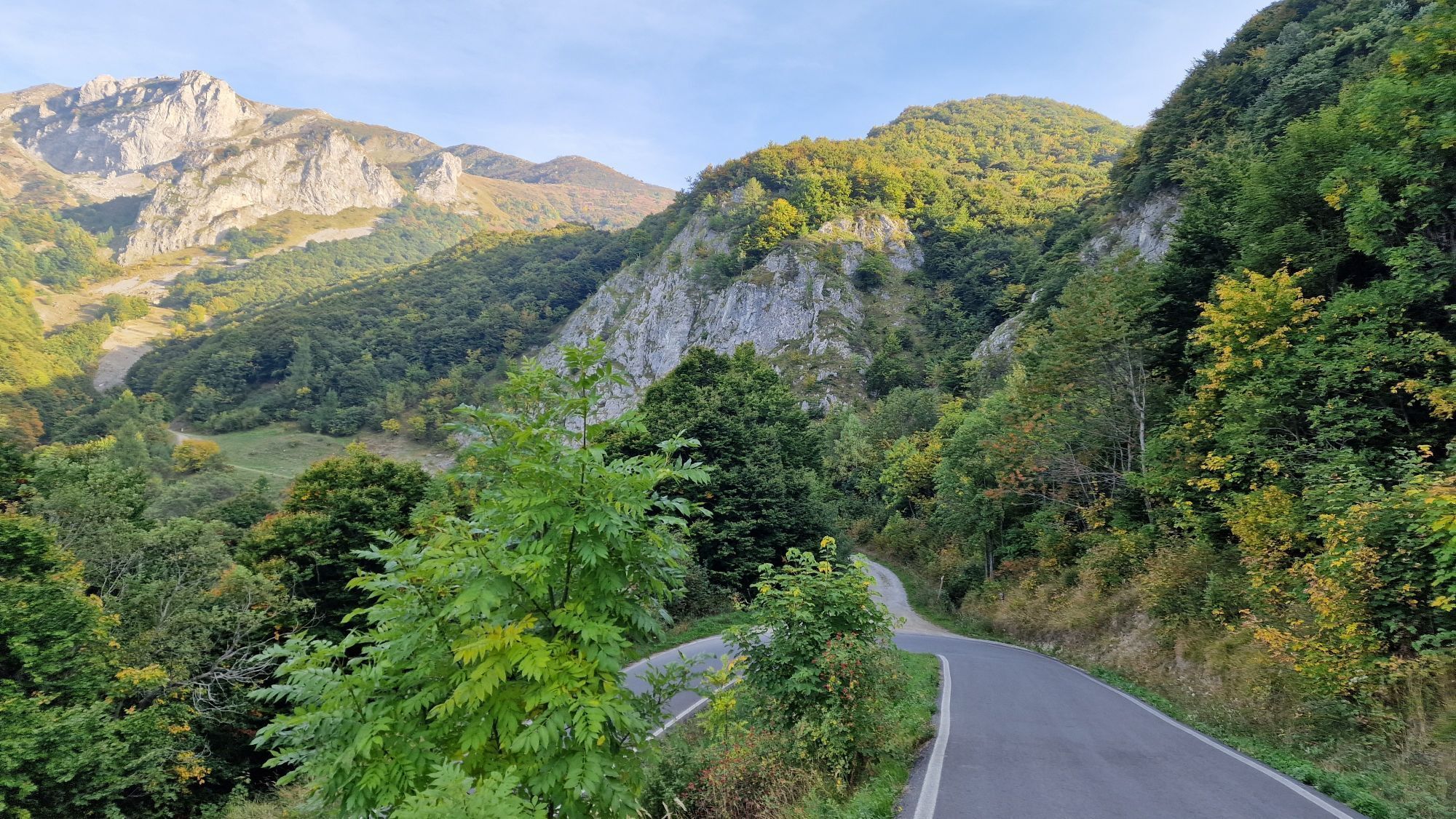
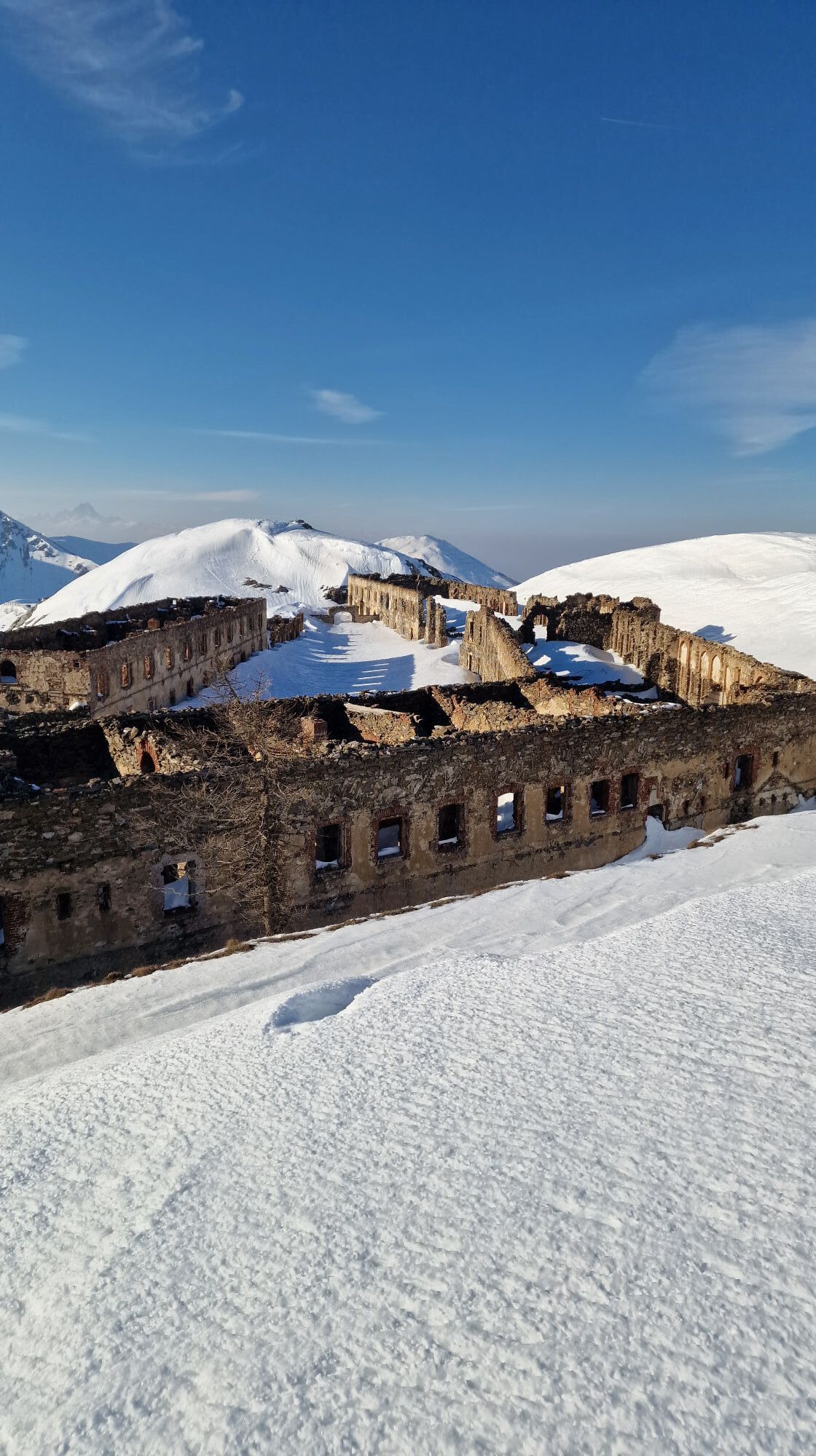
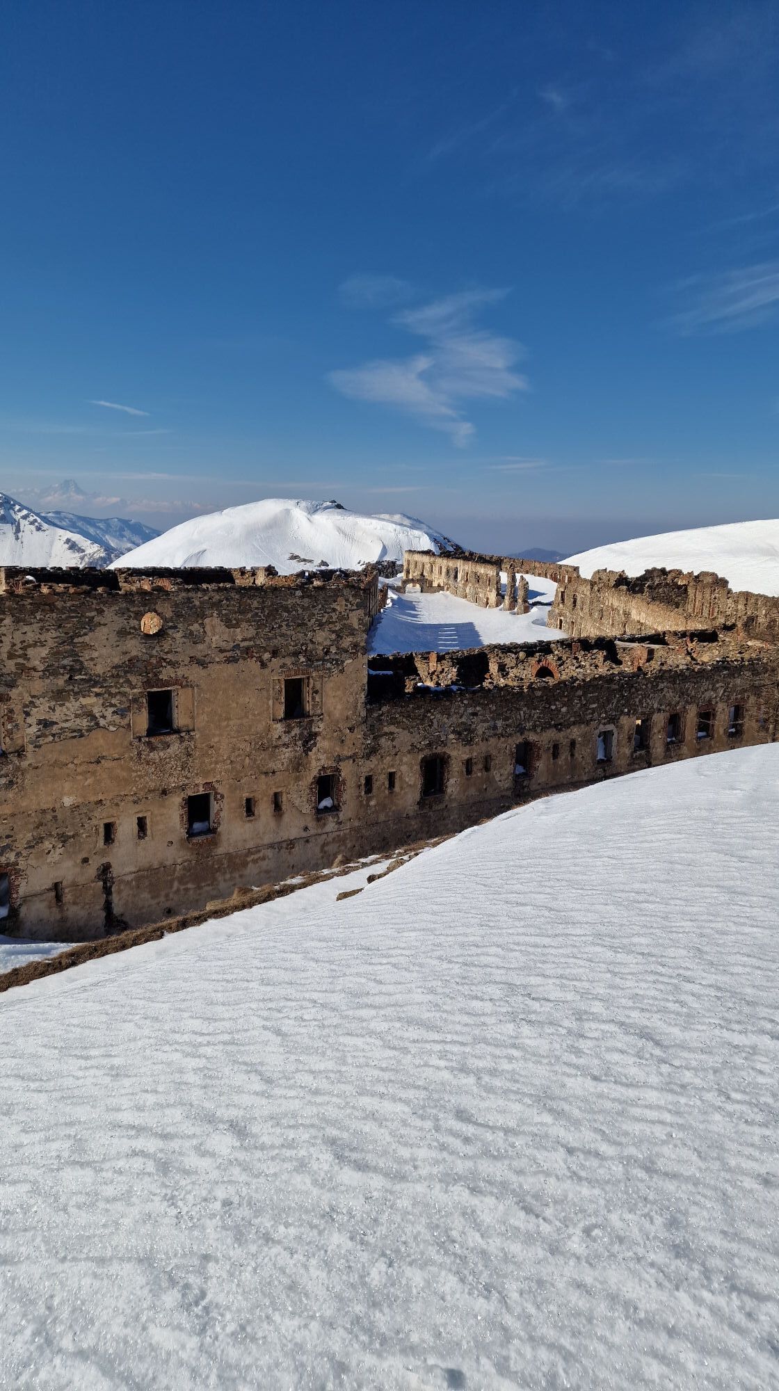
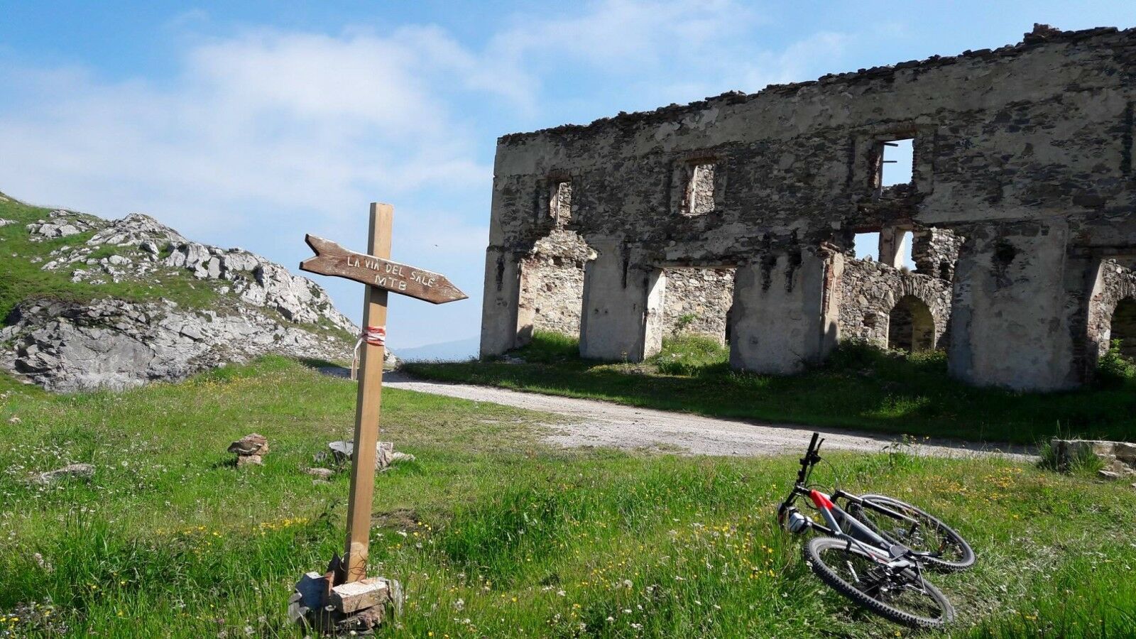
These trails are perfect for mountain biking or e-biking, where the Alpine arc between Piedmont, France, and Liguria provides the backdrop for unforgettable rides through lush vegetation, past ibex, chamois, marmots, and military fortifications, ending directly on the sea of ââthe Ligurian Riviera.
Sí
Sí
Sul percorso si trovano poche fonti d’acqua, per cui è necessario portarne una buona scorta.
S2
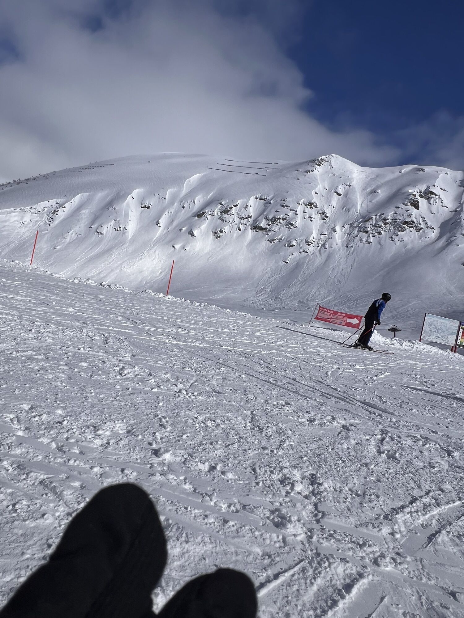
The Alta Via del Sale is a unique route: on the one hand, the lack of singletrack makes it uninteresting for expert bikers, on the other, it's not suitable for beginners, as it requires considerable experience to fully enjoy it. Not to be underestimated are the high altitudes, variable weather, loose terrain, managing unexpected mechanical problems (always lurking), battery savings for those using pedal-assist bicycles, the lack of dedicated signage (GPS tracking is essential), a loaded backpack since you'll be spending the night outdoors, and the inevitable lower back pain.
Although some daredevils ride it on gravel bikes, a full-suspension mountain bike is highly recommended.
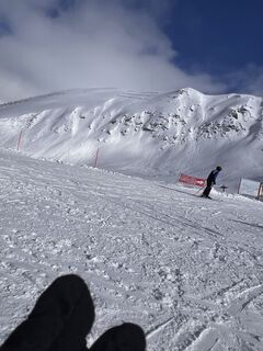
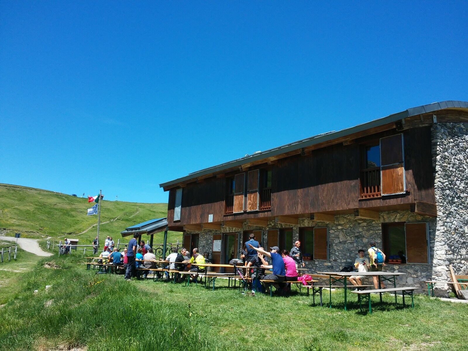
The route should be avoided on hot days: it's best to do it at the beginning or end of the summer season, depending on when the refuges are open.
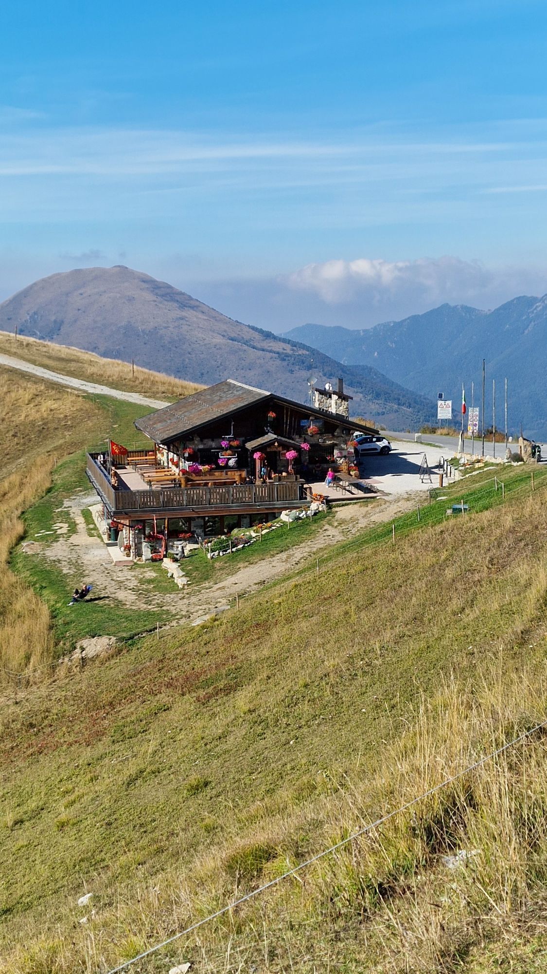
The Alta Via del Sale is open to motorized traffic, but on Tuesdays and Thursdays it is reserved for pedestrians and cyclists. Bicycles must purchase a symbolic €1 ticket at the access toll booth near Baita 2000. E-MTBs can be rented at the Bottero Ski shop in Limone Piemonte.
Unfortunately, there are few trains returning from Ventimiglia to Limone Piemonte, with inconvenient schedules and undersized trains. To avoid this, it's best to avoid summer Sundays, when trains are crowded with people returning from the beach.
Please note that a supplement is required to transport bicycles. Please note that the itineraries may include stretches of road traffic.
The authors and inspectors of the routes do not assume any responsibility for the information contained in the routes.
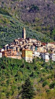
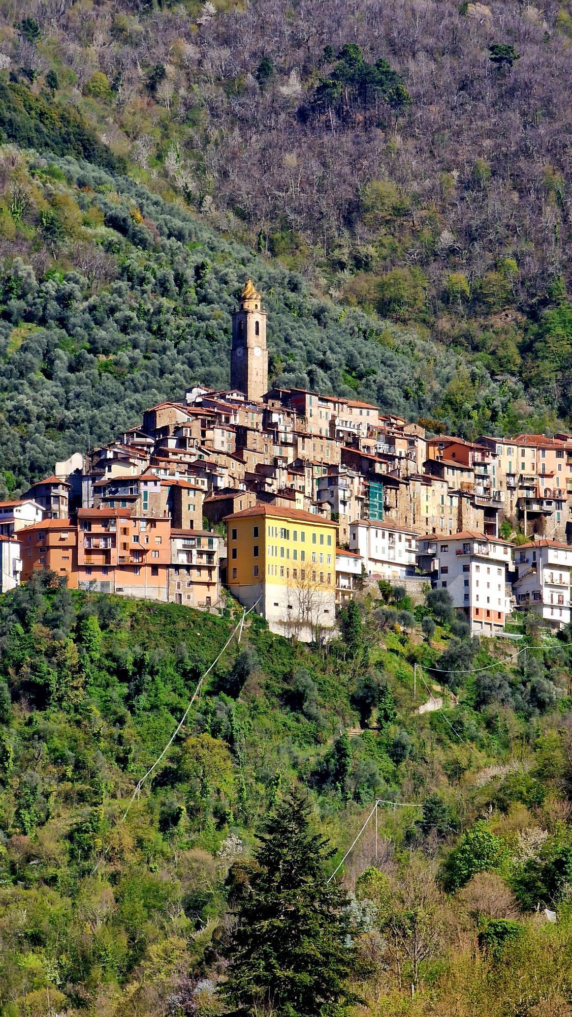
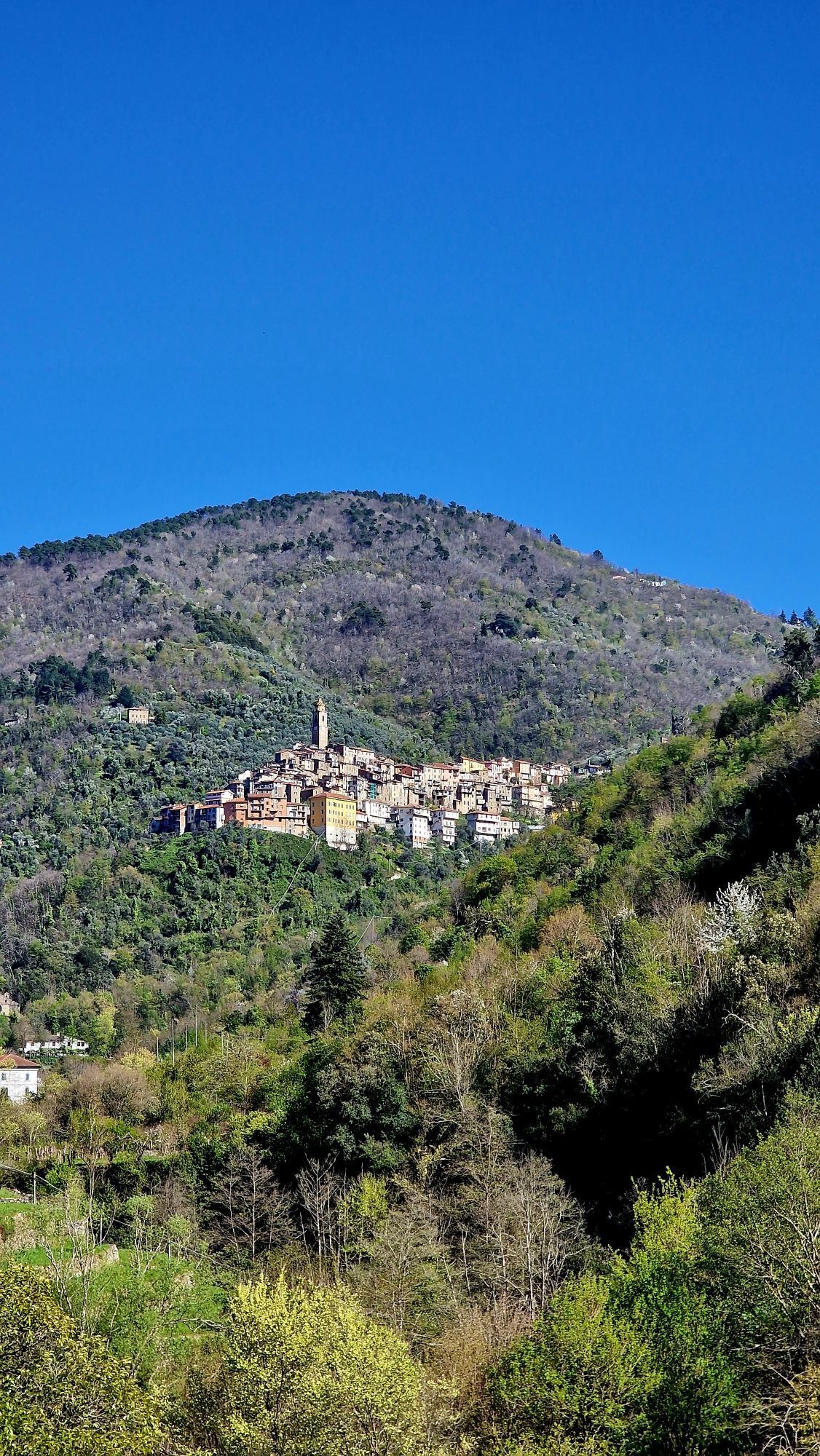
Once a transit point for shepherds, pilgrims, and traders who, via the Alpine passes, reached Northern Europe from Liguria and Provence, establishing dense trade networks. Today, this cross-border route has become an important outdoor tourism destination: a destination for e-bike and mountain bike excursions, it allows you to explore unspoiled territories rich in flora and fauna.
The Alta Via del Sale is more than ever the pulsating artery of a vast territory that can be discovered not only through the route itself but also thanks to the numerous itineraries that develop in this region, between Italy and France, between the mountains and the sea, with connections to the Ligurian Cycle Path.
Webcams del recorrido
Rutas populares en los alrededores
-
Tour du vallon de Stroup, La Brigue, Provence-Alpes-Côte d'Azur/France
medioSenderismo 11,2 km -
Easy kids friendly walk
luzSenderismo 4 km -
Vías Históricas de Montaña | Alta Via del Sale, la carretera blanca de los Alpes del Mar
pesadoMountainbike 104,8 km -
Fontanalbe
medioSenderismo de montaña 14,2 km -
AVML Etapa nº 06: Sella della Valletta - Colla S. Bernardo di Mendatica
Senderismo 8,04 km -
IM_13 Ring path of Triora
Senderismo 8,70 km -
AVML Etapa nº 05: Colla d'Agnaira - Sella della Valletta
Senderismo 14,5 km -
Variante GTA High Marguareis: Etapa 68A Limonetto - Refugio Don Barbera
medioSenderismo 19,6 km -
XC Molini di Triora
pesadoMountainbike 31,5 km -
IM_02 Paso de Teglia - Paso de la Media Luna - Monte Mónega
Senderismo 14,3 km

Senderismo y rastreo


No se pierda las ofertas y la inspiración para sus próximas vacaciones
Su dirección de correo electrónico se ha añadido a la lista de correo.