





Leg 22 from Toirano to Albenga


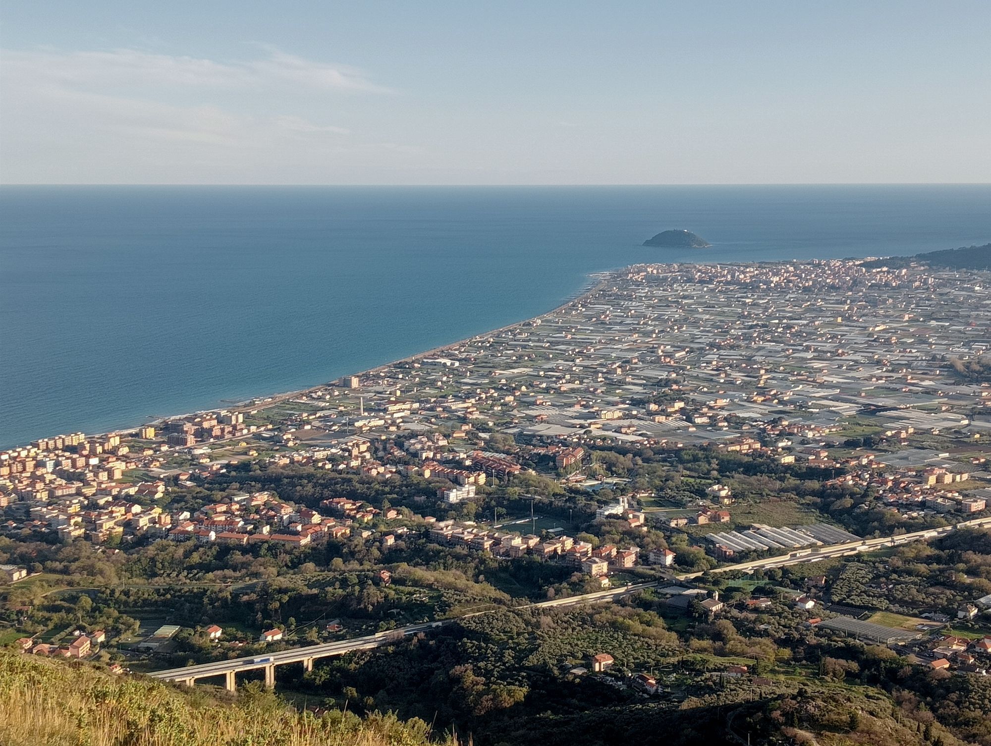
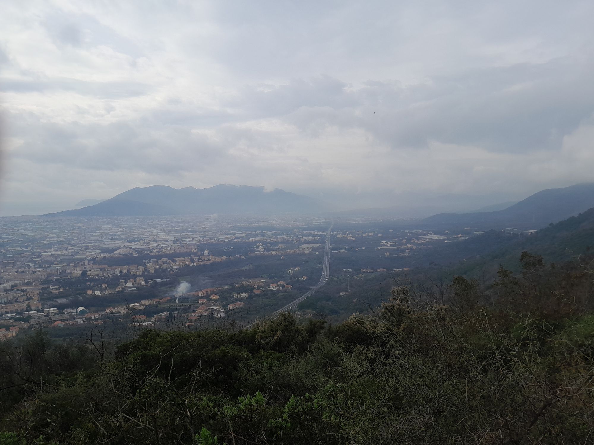
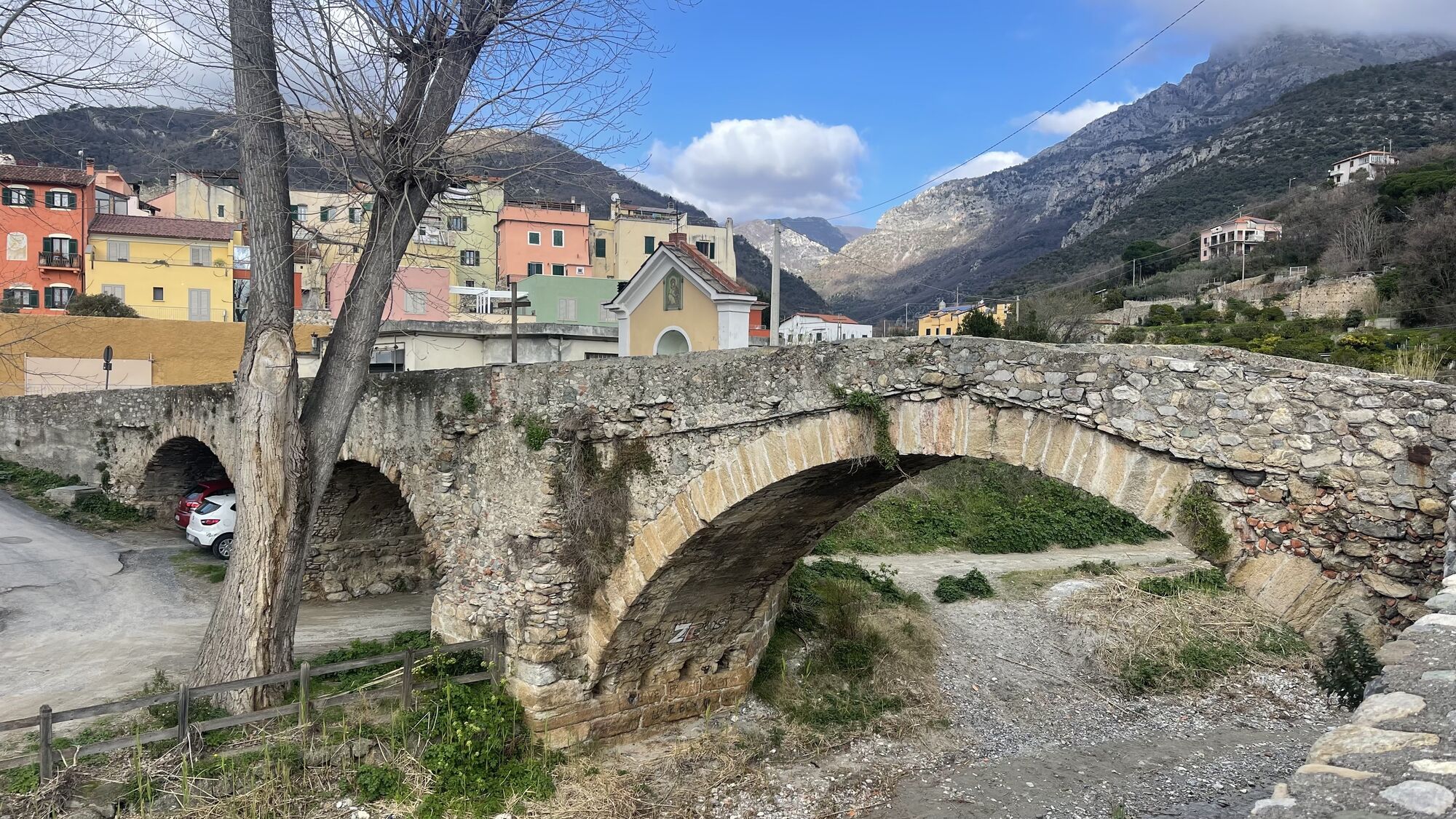
This leg of the Sentiero Liguria, which runs for almost half length on asphalt, starts in Toirano. After descending shortly the provincial road to Borghetto S. Spirito, take the road, near an olive mill,...
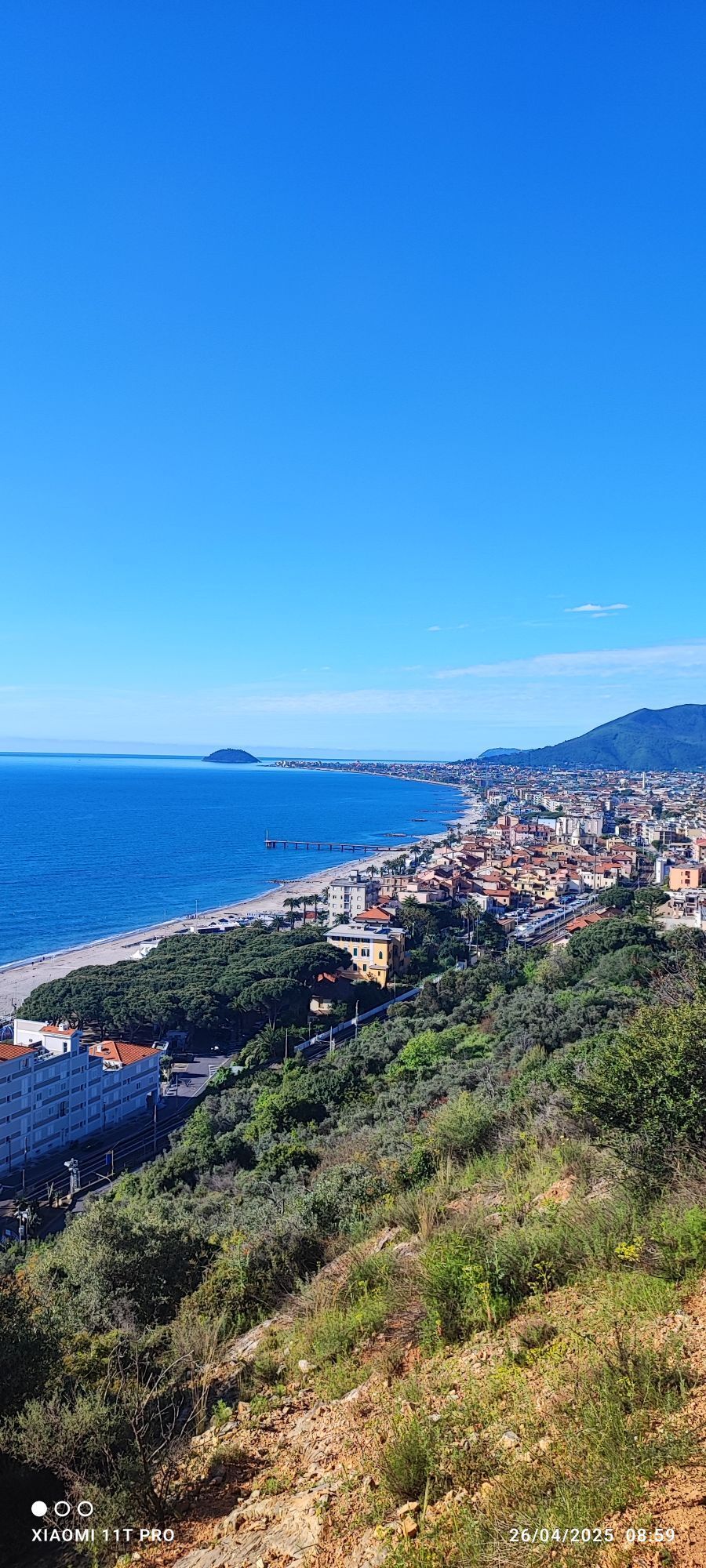
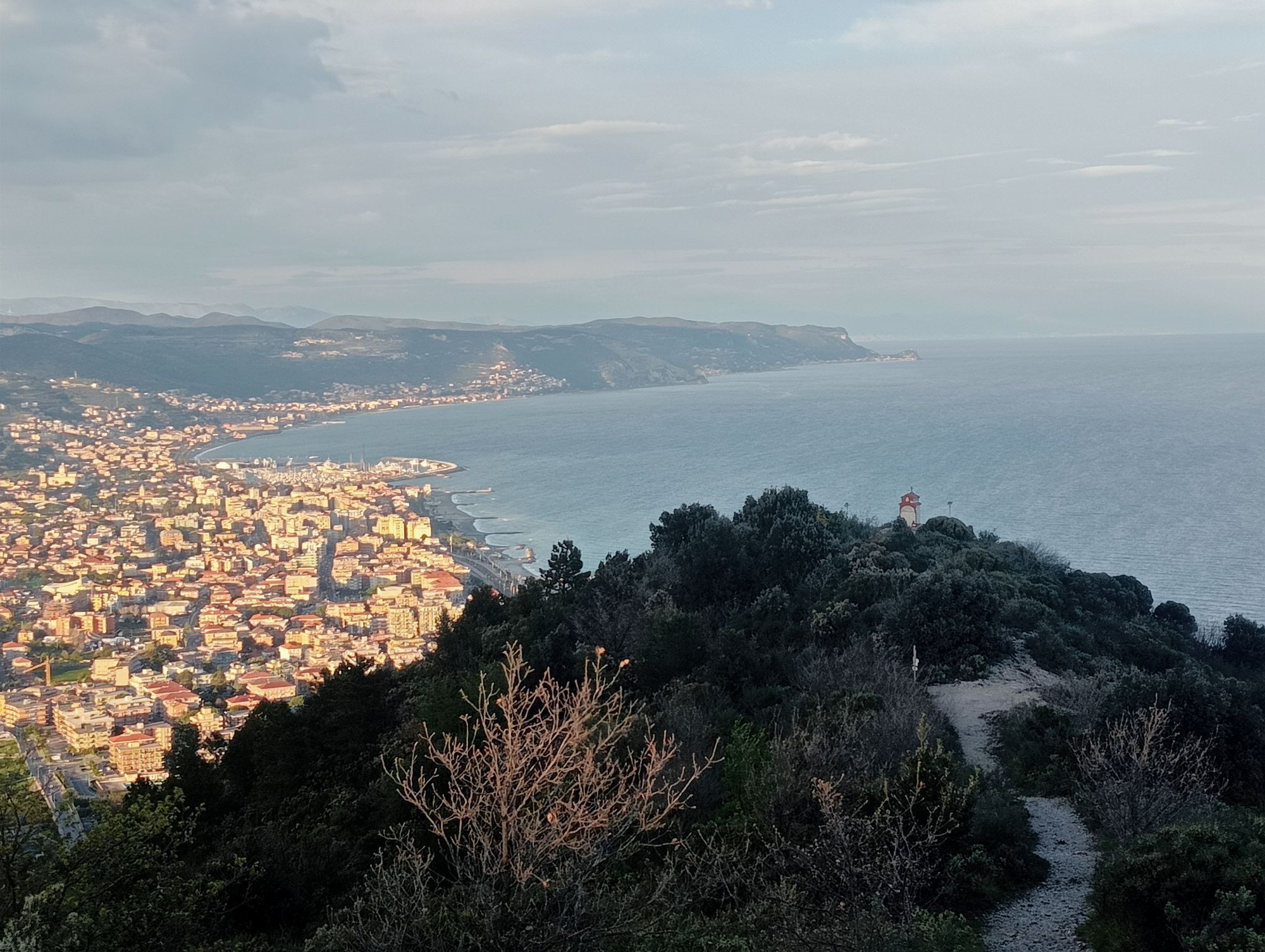
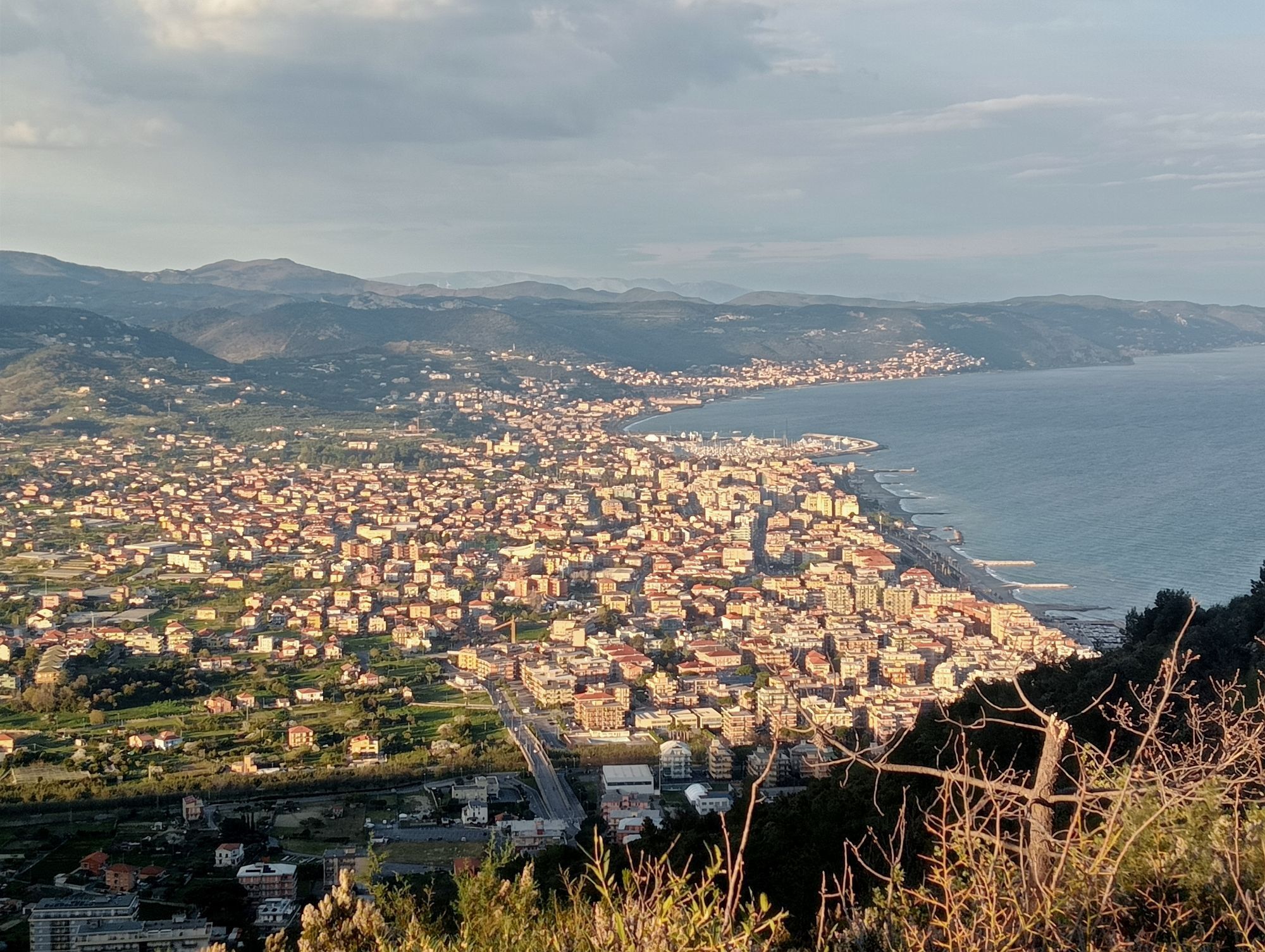
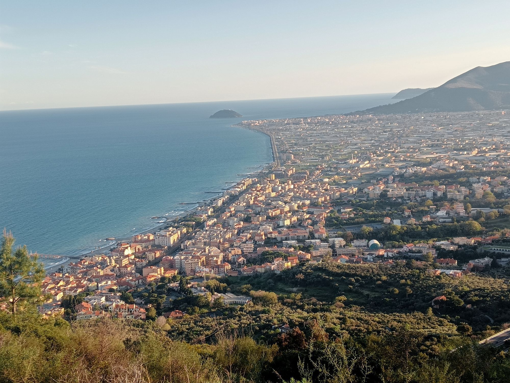
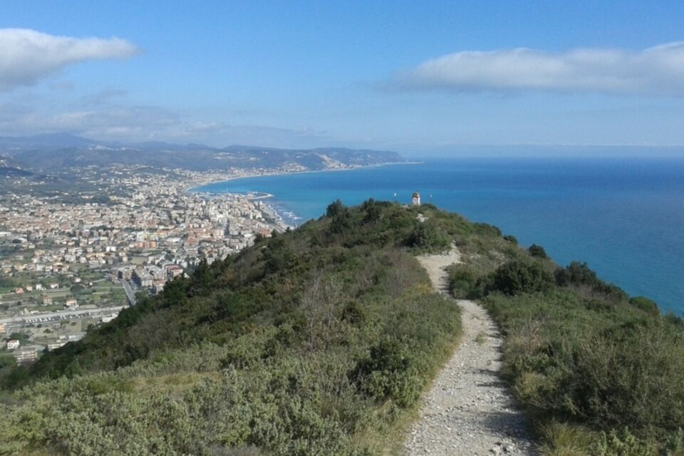
This leg of the Sentiero Liguria, which runs for almost half length on asphalt, starts in Toirano. After descending shortly the provincial road to Borghetto S. Spirito, take the road, near an olive mill, that climbs up through terraced olive groves. Continue on the steep trail to Monte Sopra Toirano and Monte Croce. The gorgeous panorama is worth the effort. Descend towards the coast until Ceriale and continue westwards on asphalt until the beautiful old centre of Albenga.


Rutas populares en los alrededores
-
4,0
SV_27 Via Julia Augusta
Senderismo 8,63 km -
Albenga-Alassio via Julia augusta
luzSenderismo 9,45 km -
5,0
Alassio Rundweg
luzSenderismo 15 km -
Liguria Trail ruta 22 Variante 1: Toirano-Arnasco
pesadoSenderismo 27,0 km -
4,0
Castelvecchio di Rocca Barbena - Zuccarello, Ligurien/Italien
medioSenderismo 10,0 km -
5,0
Via ferrata degli artisti
Vía ferrata 6,20 km -
SV_12 San Cipriano – Camporotondo – Lacremà
Senderismo 5 km -
AVML Etapa nº 14: Giogo di Giustenice - Colle di Melogno
Senderismo 8,77 km -
5,0
Leg 21 from Boissano to Toirano
Senderismo 12,3 km -
AVML Etapa nº 13: Giogo di Toirano - Giogo di Giustenice
Senderismo 4,54 km
Senderismo y rastreo


No se pierda las ofertas y la inspiración para sus próximas vacaciones
Su dirección de correo electrónico se ha añadido a la lista de correo.





