




Karhunahas, Petäjävesi
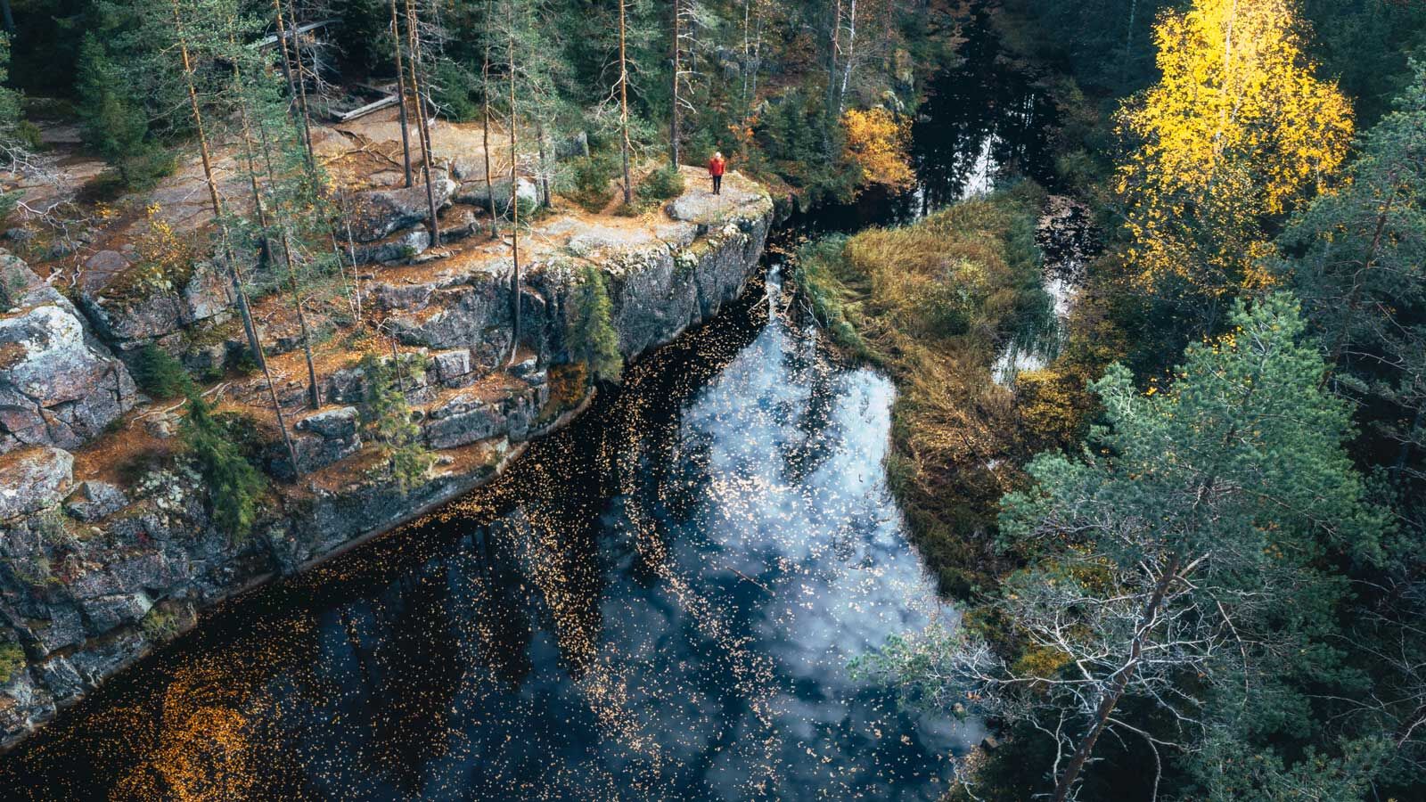
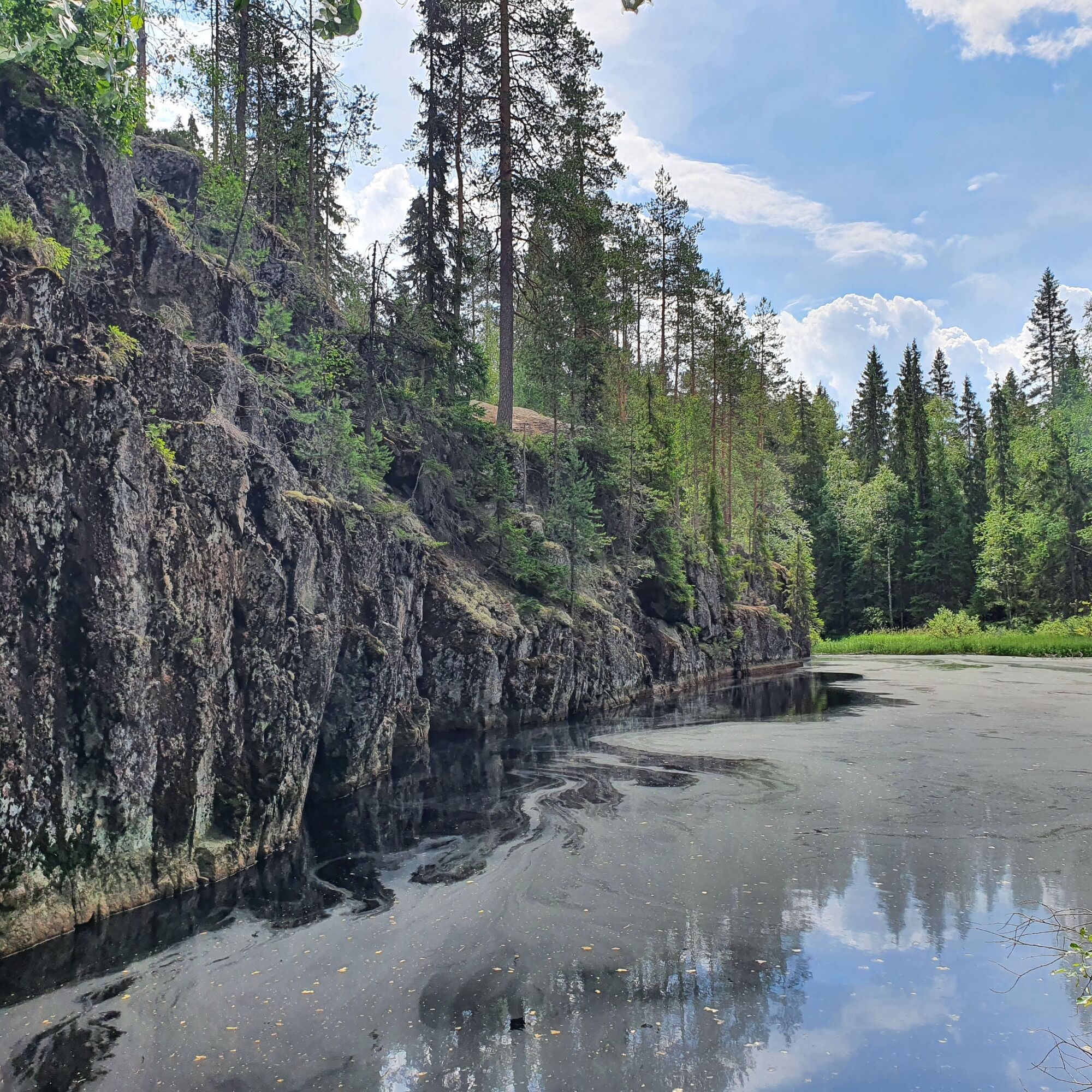
The nature trail is a 600-metre-long trail that circles the gorge around the Gorge Canyon area. The trail is located in Karhunahas, a gorge lake surrounded by steep walls, right on the border between Multia...
The Bear Run climbs to the top of the cliff face, where you'll find a lodge with a fireplace and a dry latrine. It is also possible to spend the night in the lodge. Remember to take firewood with you at the start of the trail. The views of the gorge mouth are impressive.
The trail is marked with red paint pins. There is also a 4.1 km trail from the area to Haarajärventie.

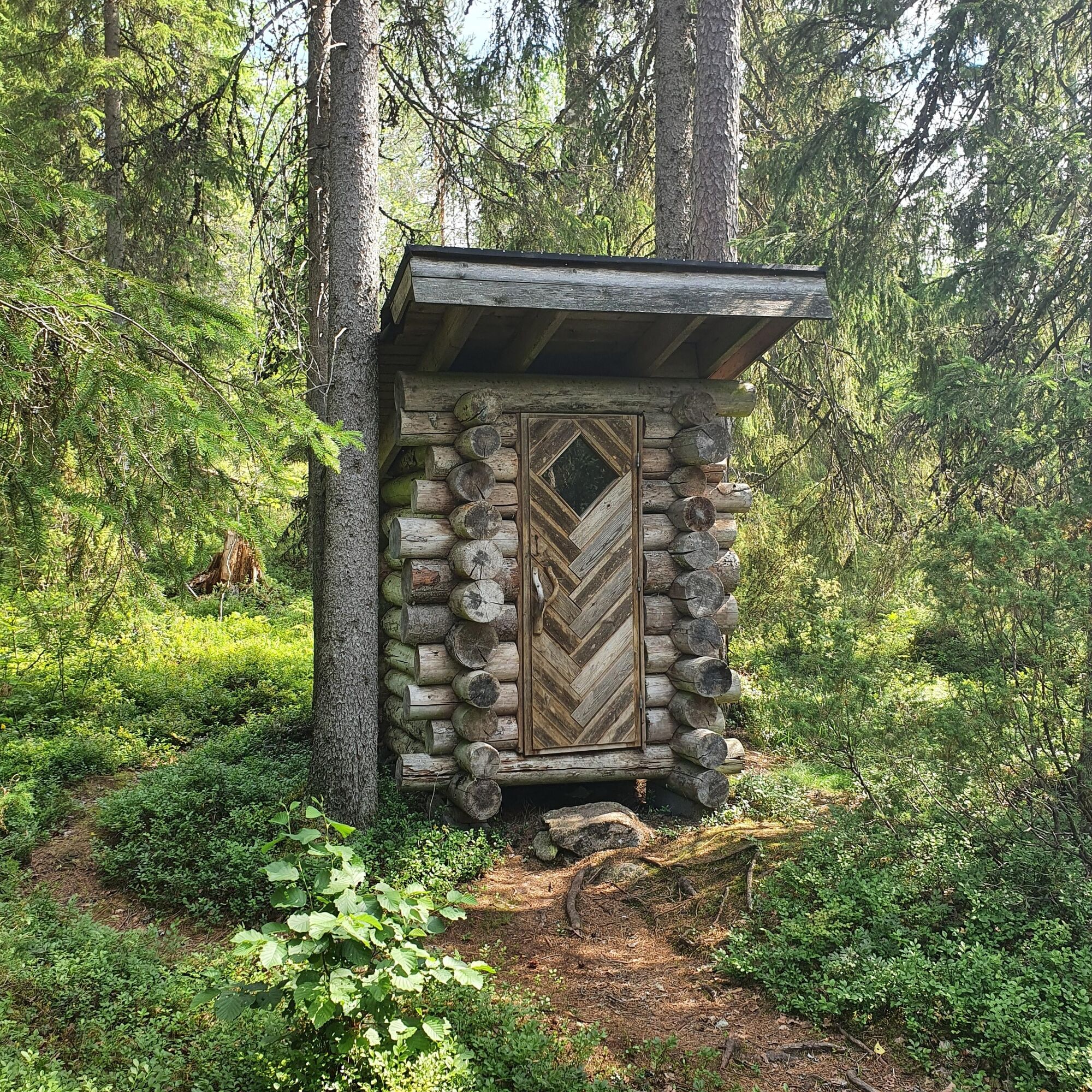
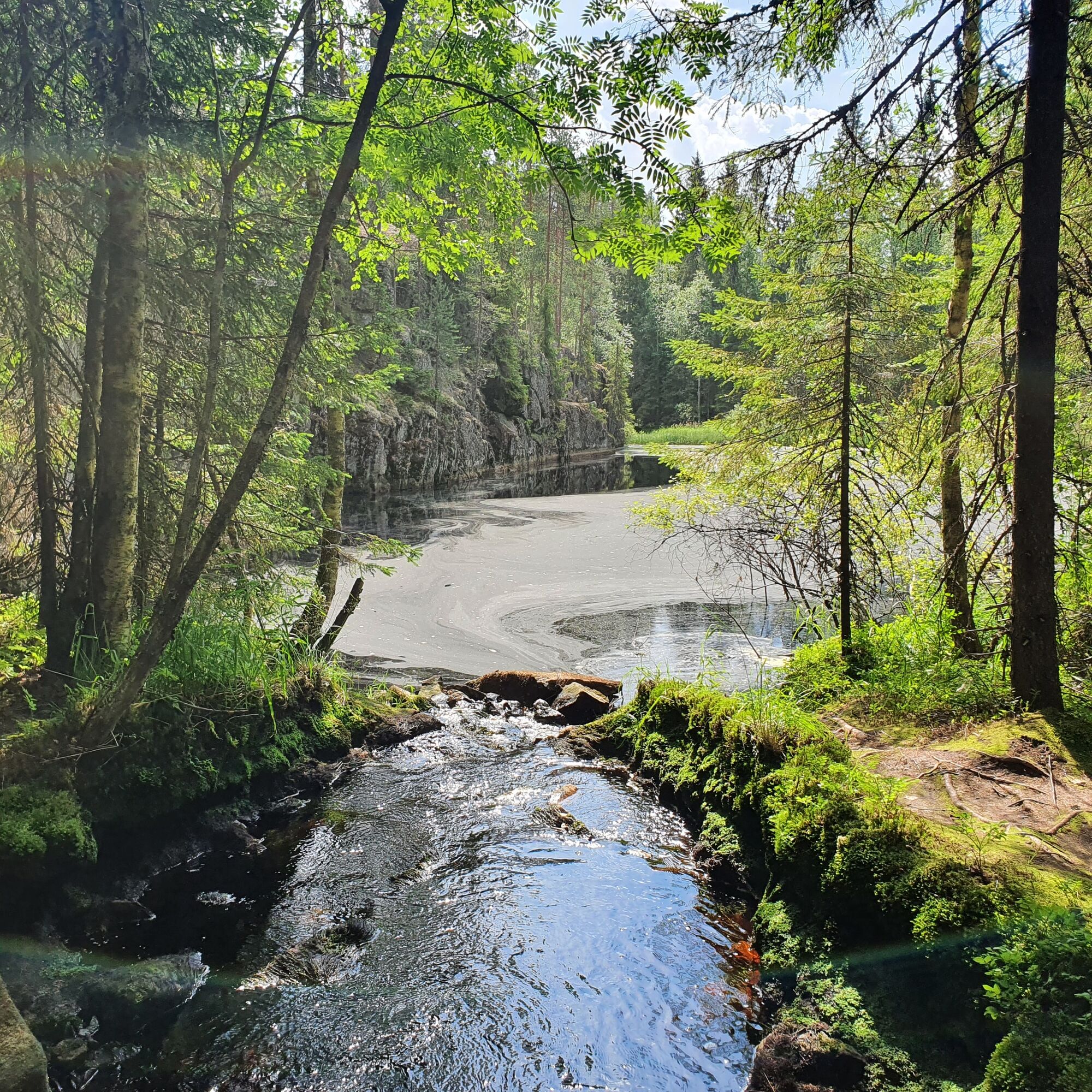
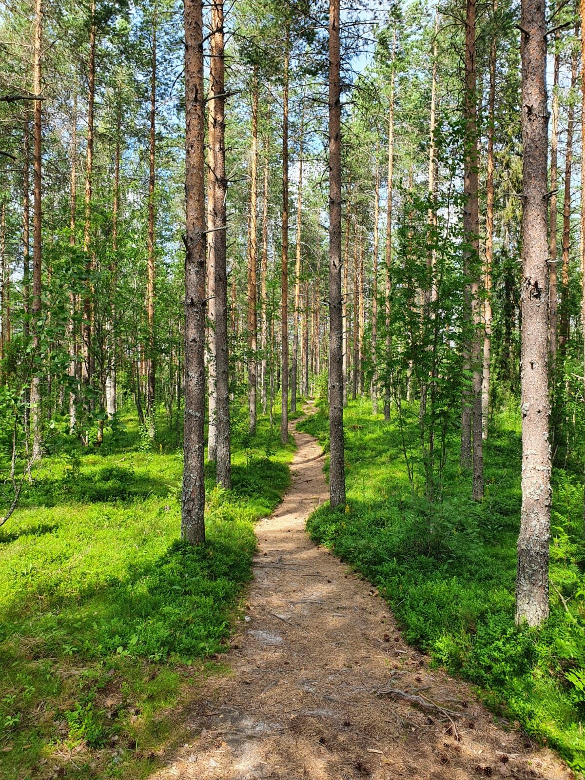
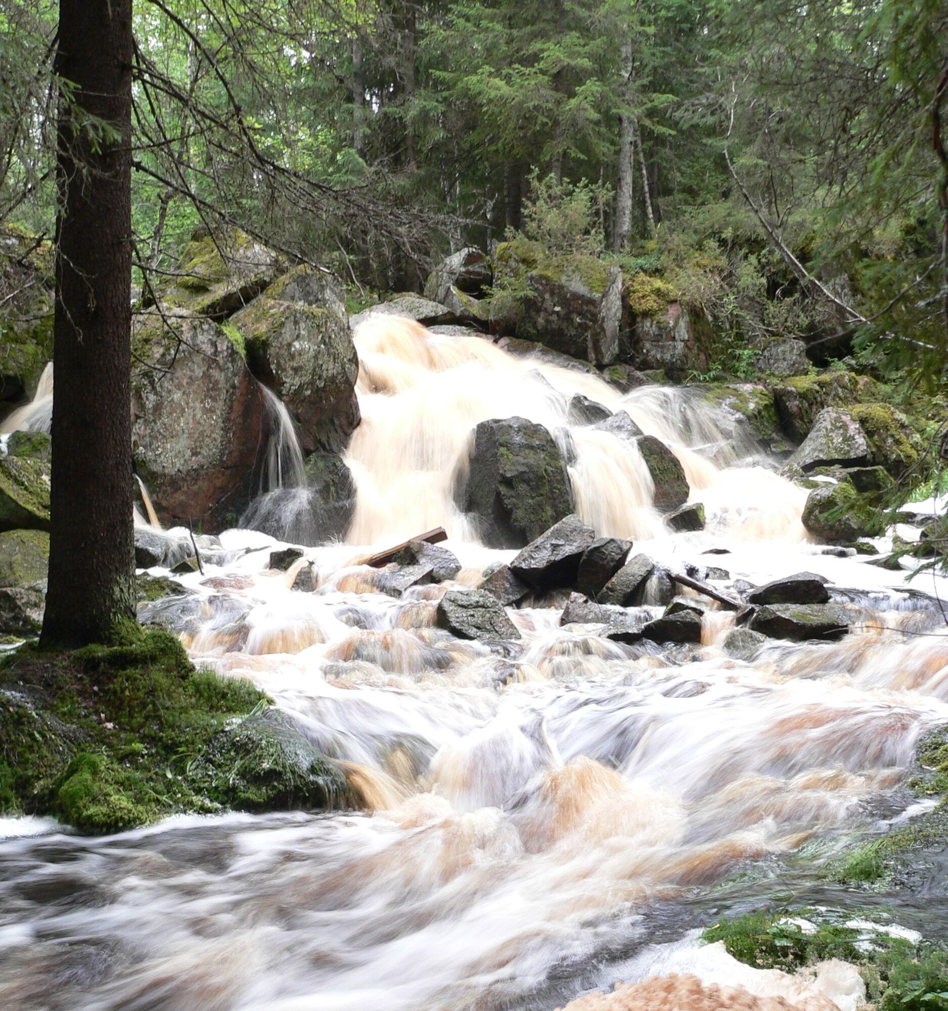
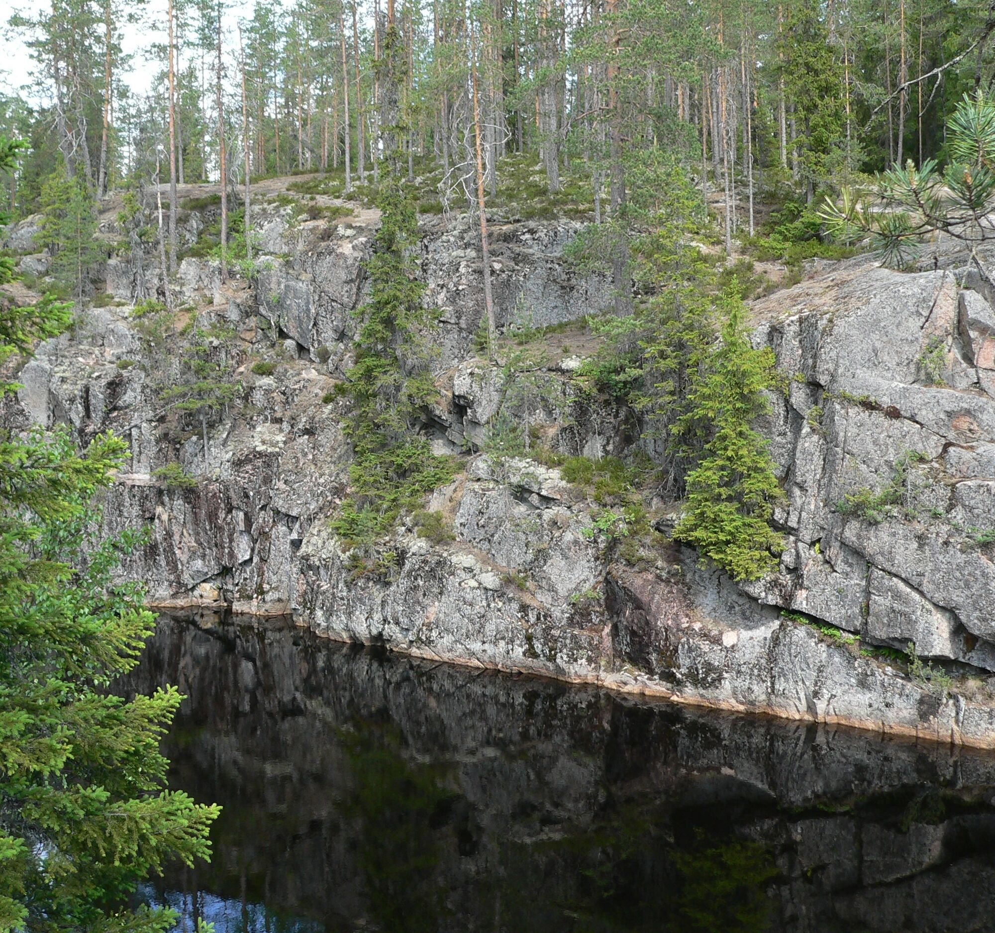
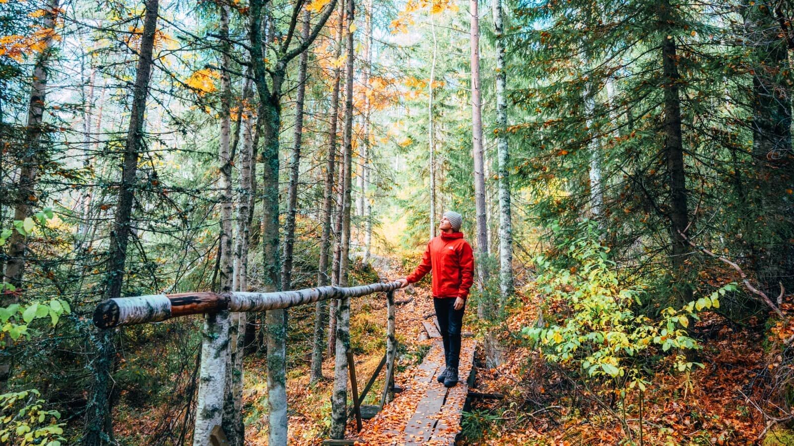

Sí
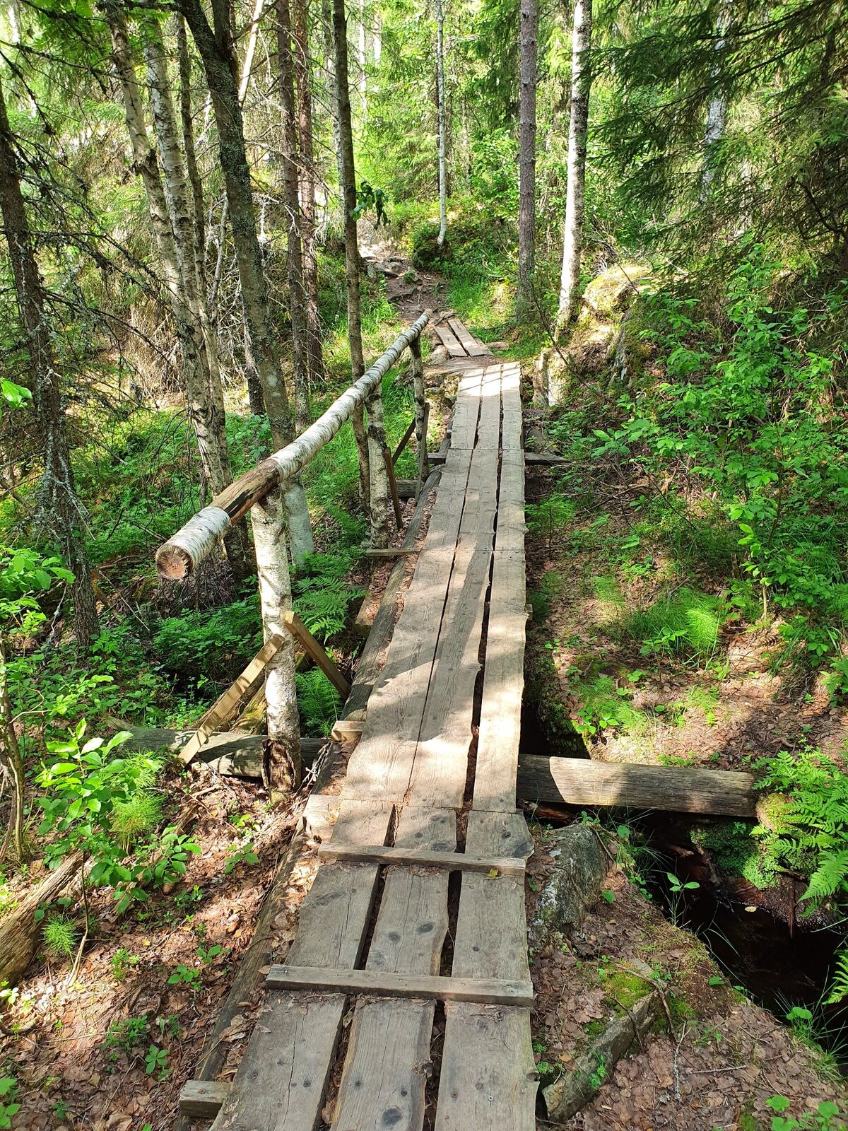
The terrain is mainly flat and easy to negotiate, but it is broken up in places, which makes walking demanding, especially in wet weather.
The area is maintained by the municipality of Petäjävesi.
The bear hut is located along the Töysänperä (road No 6271).
From the north:
From the Multia-Uurainen road (No. 627), about 14 km from the church of Multia, turn onto road 6271 to Petäjävede. Drive 4km, signposted to the right. Follow the forest road for 0.9 km, parking lot is on the right side of the road.
From the south:
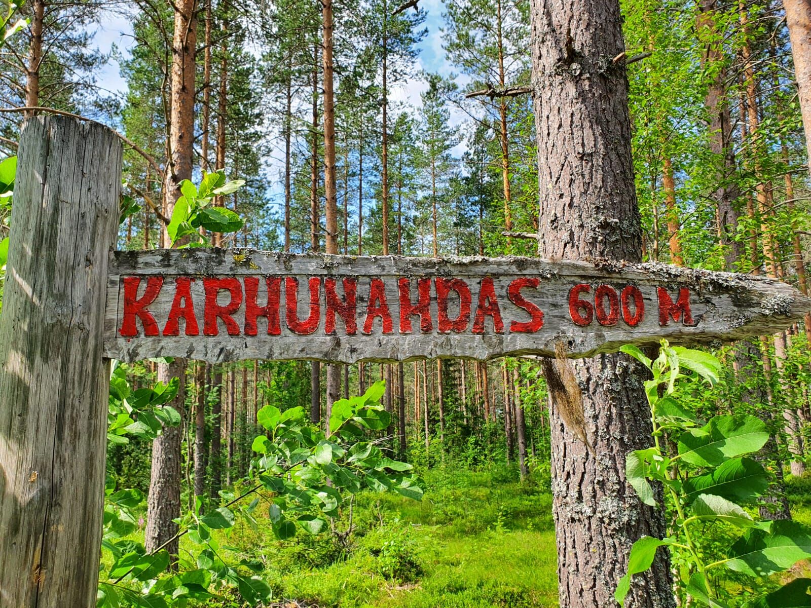
Turn off Highway 23 at Petäjävesi onto Highway 18 to Multia (Seinäjoki). Drive about 3 km and turn right onto road 6271 Kuivasmäki. Drive straight for about 17 km, signposted left. Follow the forest road for 0.9 km, parking is on the right side of the road. From here it is a 600 m walk to Karhunahta.
From Haarajärventi:
Coming from the south, take road 6271 for 14 km and turn left onto Haarajärventie. From South271, take the exit for 2727 and follow the road for 2727 to Haarajärventvent. The route is 4.1 km long, of which 3.2 km is forest road.
In winter and spring, when the snow melts, it can be difficult to reach the site by vehicle due to the weather conditions.
Karhunahas on the website of Petäjävesi municipality.
Karhunahas is also popular with younger hikers because of its stunning lake and exciting nature trail. It is only a few hundred metres away by car.
Rutas populares en los alrededores

Senderismo y rastreo


No se pierda las ofertas y la inspiración para sus próximas vacaciones
Su dirección de correo electrónico se ha añadido a la lista de correo.





