Baranco Tenisca (ab/bis Puerto Tazacorte)

Senderismo


Datos del tour
15,26km
7
- 233m
283hm
266hm
04:12h

- Breve descripción
-
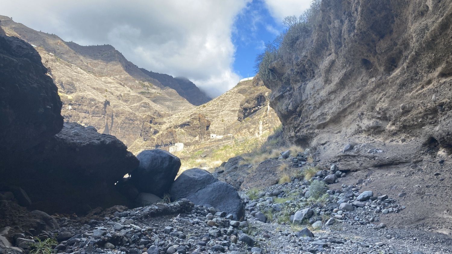
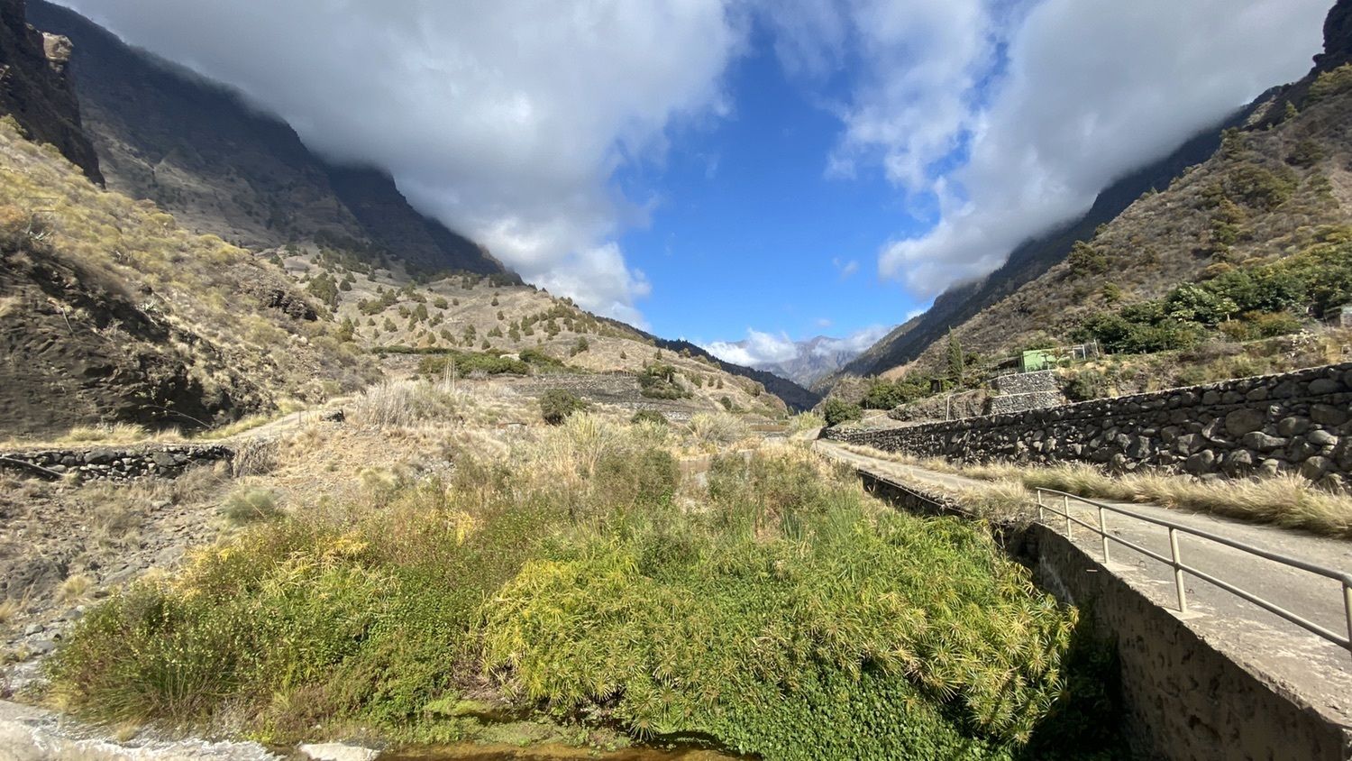
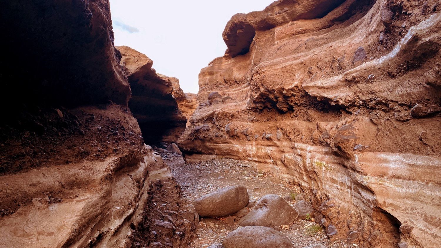
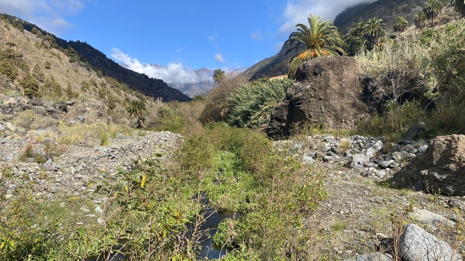
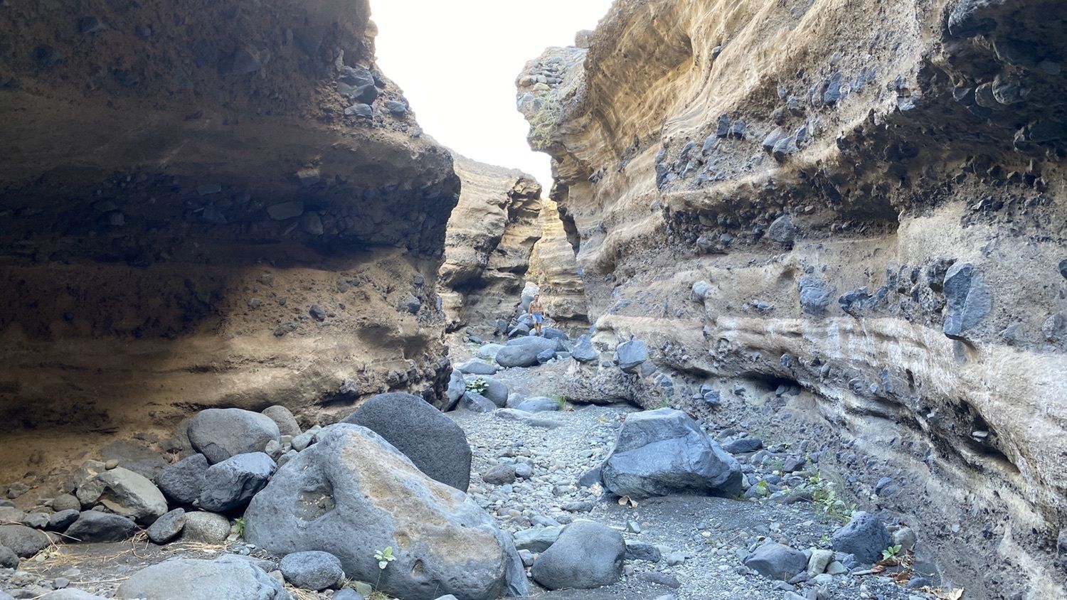
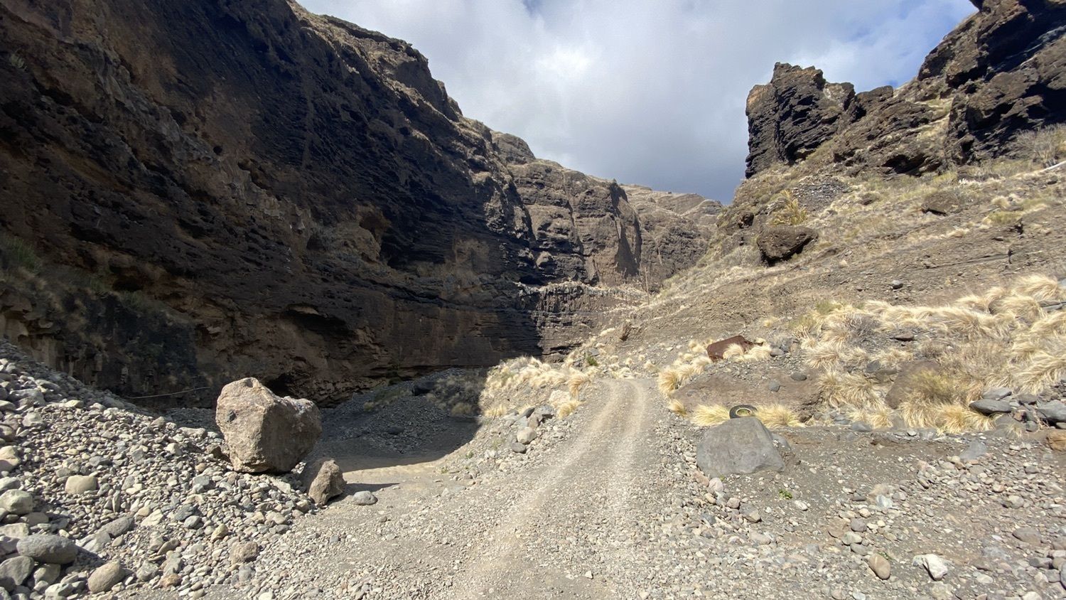
Der offizielle Wanderweg beginnt eigentlich erst dort, wo die Calle da Viña den Baranco quert... Man kann aber auch das Stück von Tazacorte bis zur Calle zu Fuss gehen... Durch teilweise sehr eindrucksvolle Canyons... Aber kein offizieller Wanderweg... Man muss teilweise suchen, wie es weitergeht... Auch zwei-/dreimal etwas klettern, an einem Tor die Lücke im Zaun für Wanderer ausnutzen und an einer Stelle, wo zuweilen Esel gehalten werden, durch einen Stacheldraht-Zaun steigen (war einfacher, als sich das hier anhört
- Dificultad
-
fácil
- Valoración
-
- Ruta
-
Puerto de Tazacorte (9 m)0,1 kmPuerto de Tazacorte (9 m)15,1 km
- La mejor temporada
-
enefebmarabrmayjunjulagosepoctnovdic
- Punto álgido
- 233 m