


Kielokota mountainbike trail 18 km, Paljakka Finland

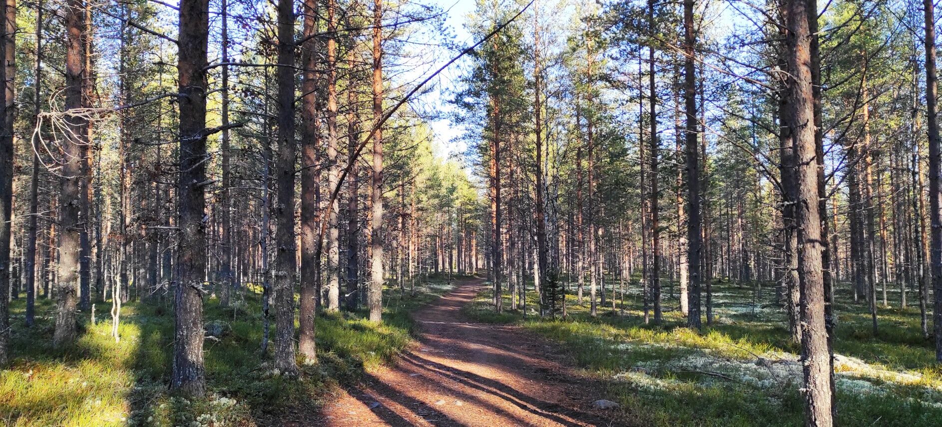
The Kielokota mountain biking trail is relatively easy to drive, following the Latvajoki river through pine heathland terrain. Halfway along the route you find Kielokota, a hut with fireplace, where you...
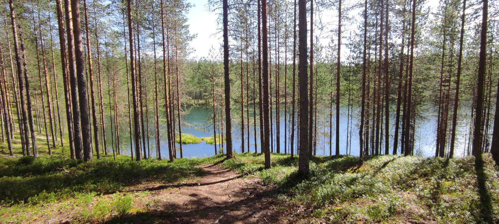
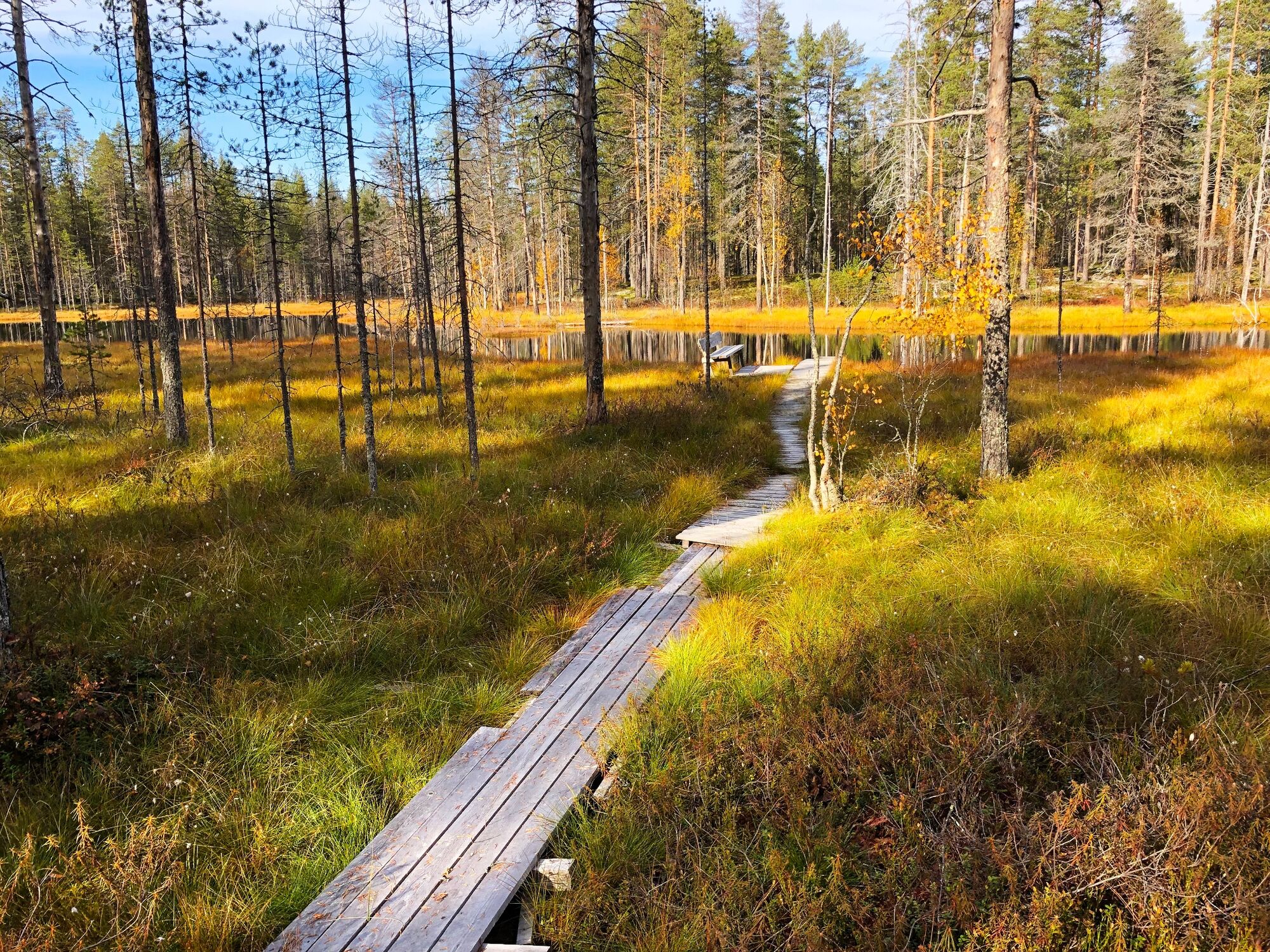
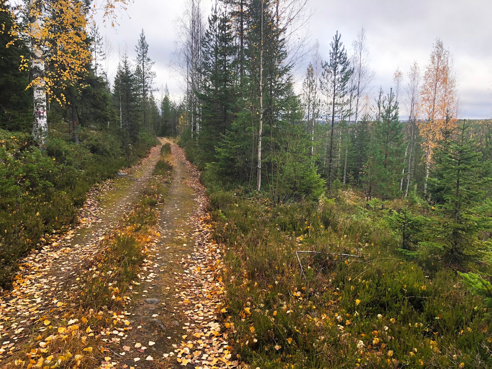
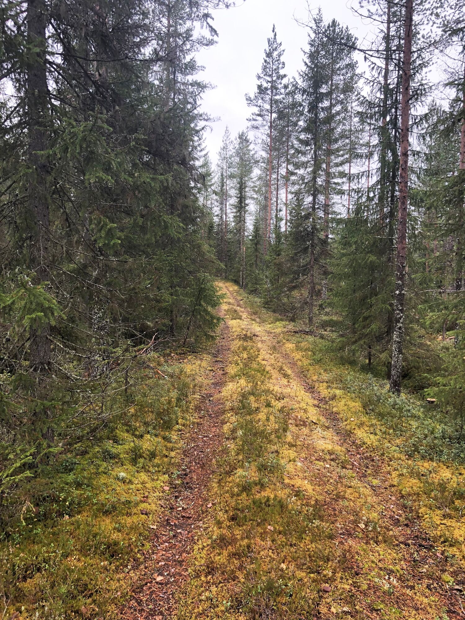
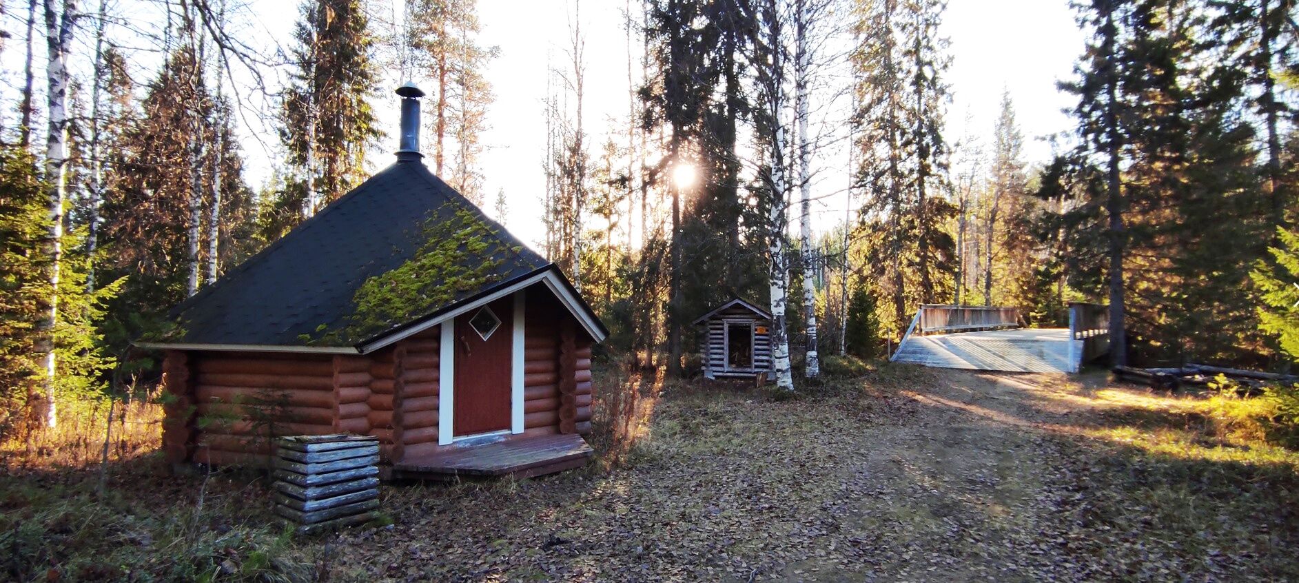
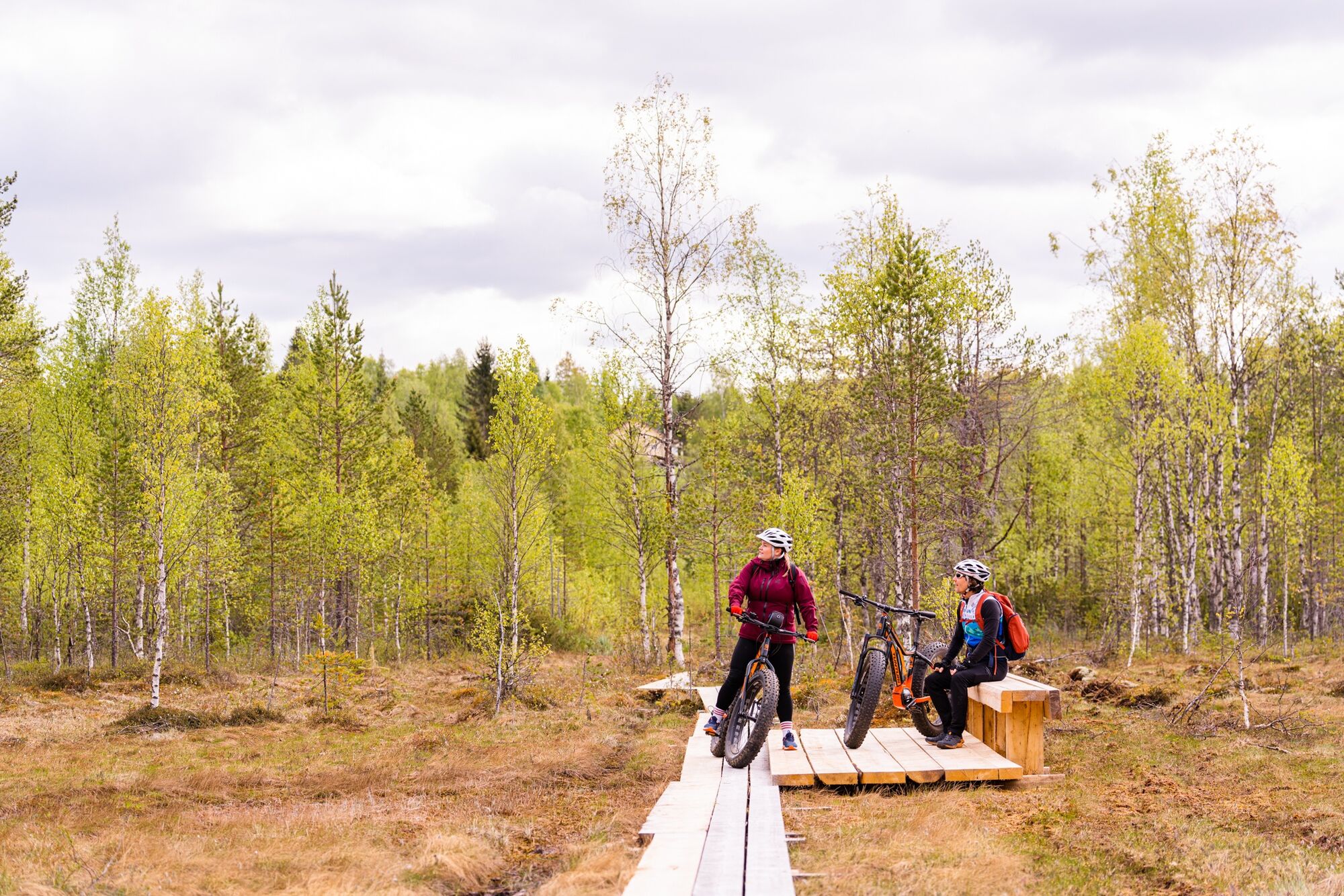
The Kielokota mountain biking trail is relatively easy to drive, following the Latvajoki river through pine heathland terrain. Halfway along the route you find Kielokota, a hut with fireplace, where you can take a break on the banks of the river. Near the hut the beautiful Pokrom clear-water pond is located. Leave your bike on the forest road and explore the landscape around the pond on foot. From the pine heath, we are heading back into the spruce-covered hills and towards the idyllic village of Latva. From here, the route follows duckboards through the beautiful Lohisuo swamp towards the Paljakka tourist resort.
The route follows forest roads and wider paths through the pine forests along the Latvajoki River. In addition to the easy terrain, there are some slightly more challenging short sections. The initial ascent up the ski slope and the long crossing of the Lohisuo duckboards (3 planks) on the way back add to the challenge. The route is also suitable for mountain bike beginners.

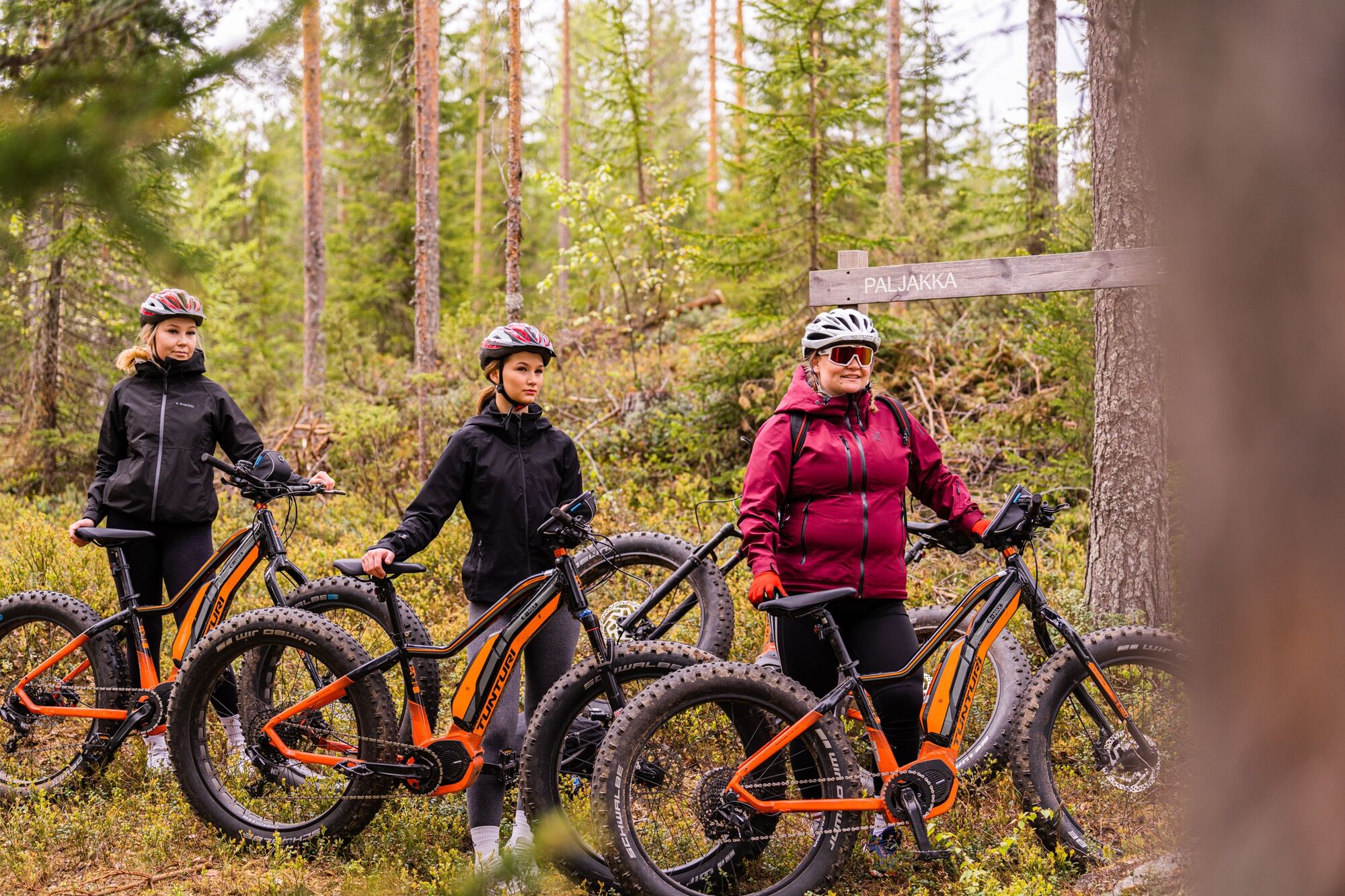
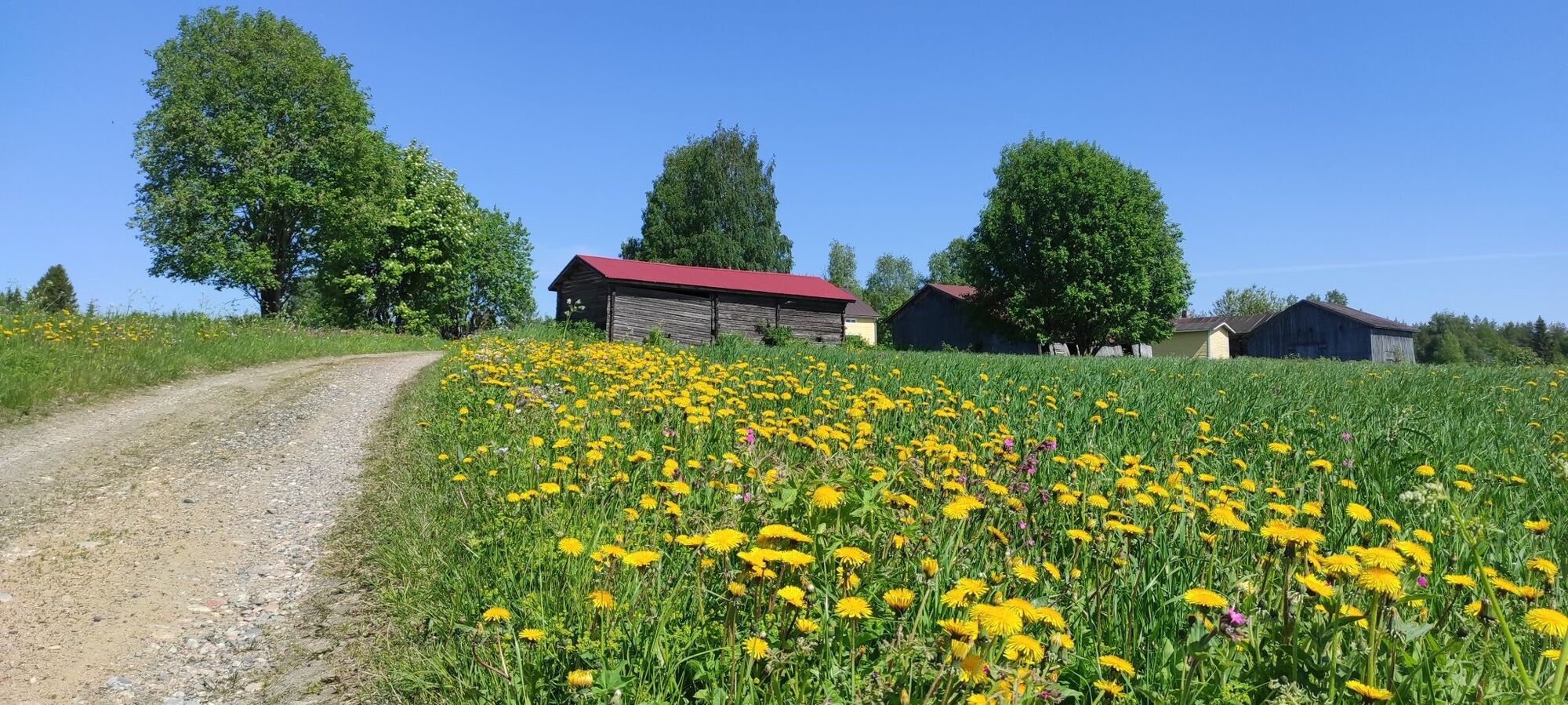
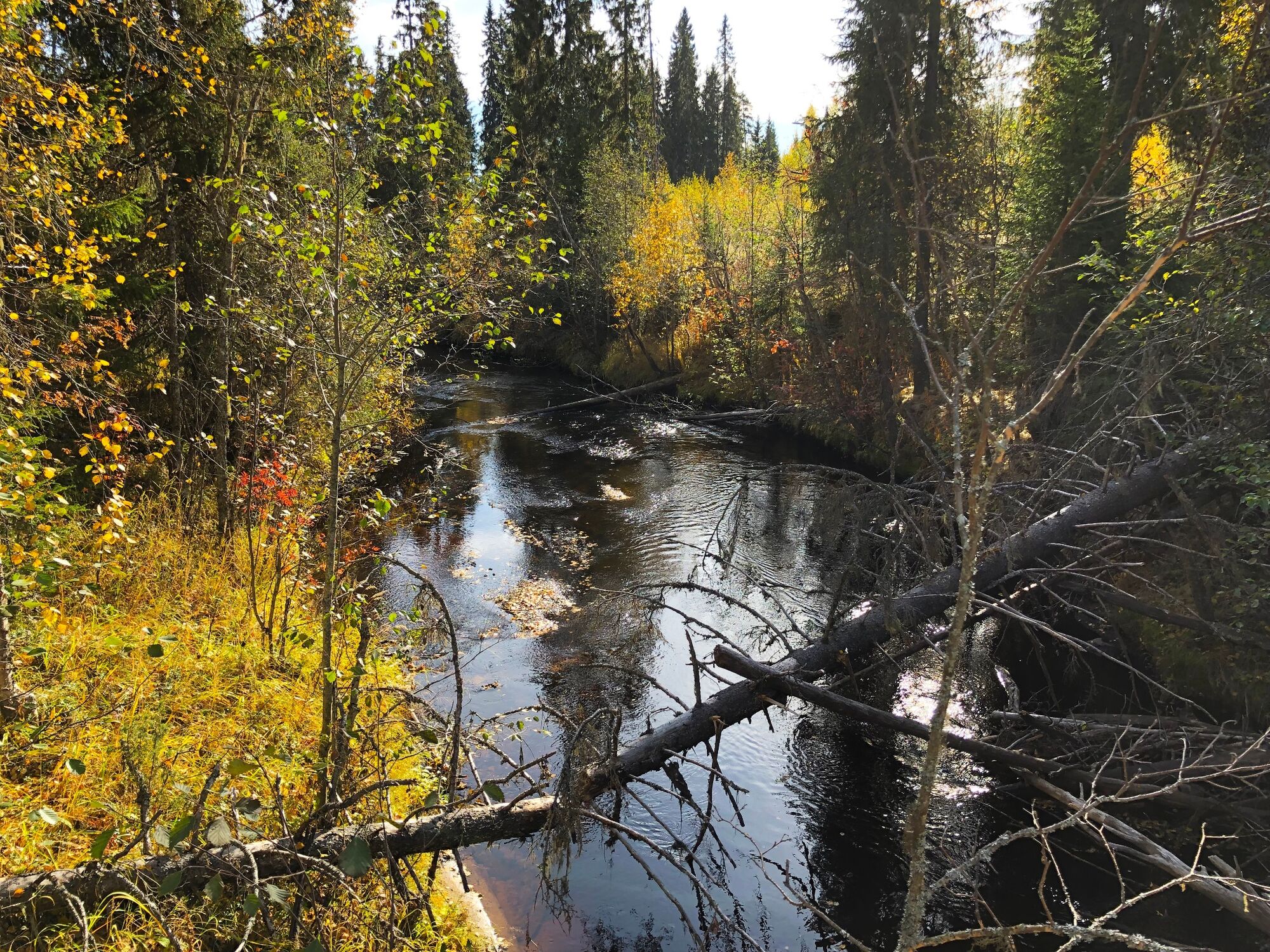
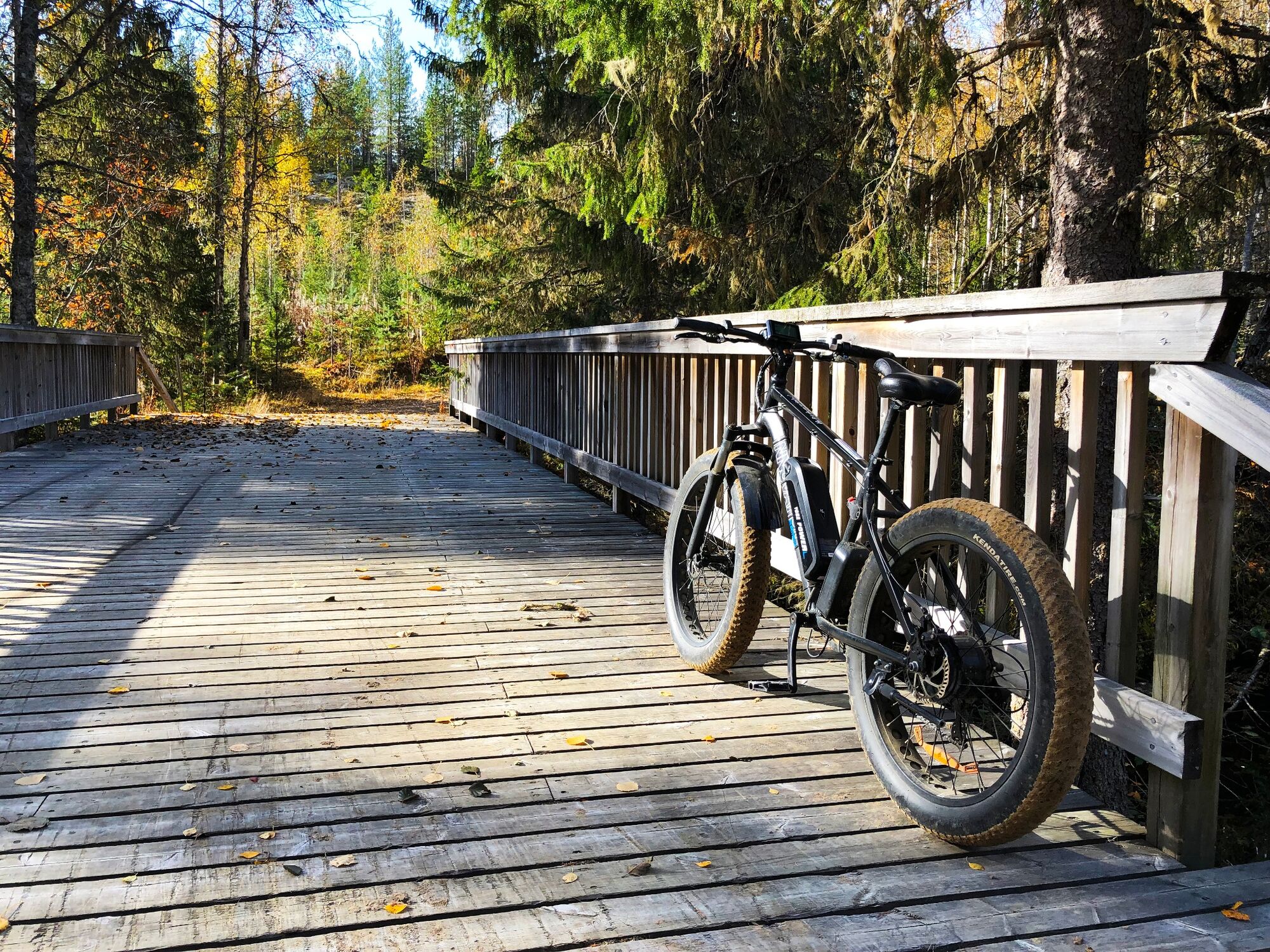
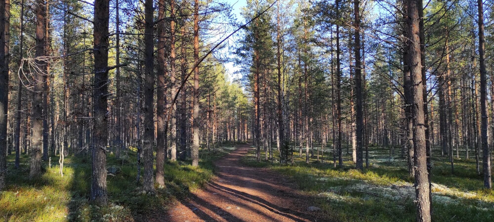
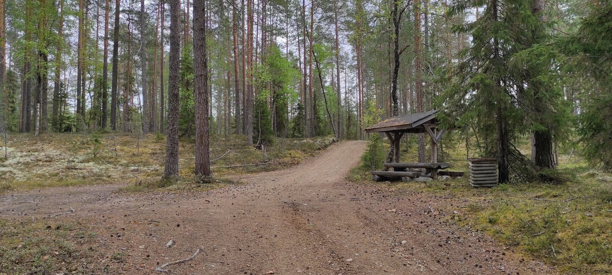
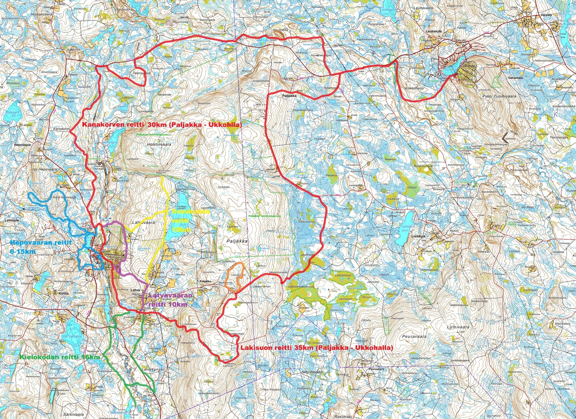

The route starts from the Paljakkakeskus Resort, next to the parking lot. First you ascend on a path until halfway up the ski slope. Then the path turns right towards the south and more or less runs on this level. From the slope area, you enter a young forest and pedal to the edge of the Lohisuo swamp. Soon you turn right at the junction to the Lohikallio rocks and from there downhill to the Latvajoki river.
Cross the river along Ristijärventie street and turn left at the slope onto Tervareitti forest road. On the opposite side you can visit the Latva cemetery. Follow Tervareitti forest road all the way to the Pokromi pond. The pond is on the left side of the road. After visiting the pond, return for a short distance to Tervareitti and from there turn right towards the Kielokota hut that is located next to the Latvajoki River.
The trail continues from the fireplace on the east side of the river towards the Ristijärventie street, crosses it and continues as a forest road through the pine forest. The route crosses Nurmiahontie street and returns to Ristijärventie. Follow this street for about a kilometre before turning back to a forest road leading to the village of Latva. Before the village, the route passes through fields and a spruce forest.
In Latva village, you cycle via Soikantie to Latvantie road, and after crossing it, you soon reach the Lohisuo swamp. A 300 m long duckboard (3 planks + resting places/widenings) leads across the swamp. From here, the route returns the same way back to Paljakkakeskus Resort.
Sí
The route is suitable for mountain bikes and in dry conditions also for gravel bikes (challenging). Electric assistance makes travelling more comfortable.
For more information on bike rental, visit https://paljakka.fi/en/.
Always wear a helmet and bring a charged mobile phone for emergency calls.
At least take something to drink, as there are no facilities along the route.
The route runs for short distances on public roads, where you should watch out for other traffic.
Find lots of information about mountain biking in Finland here: nationalparks.fi
Google maps / navigator: Matkailukeskus Paljakka (Puolanka /Kotila).
From Kajaani: From Kajaani (national road No. 5) for about 40 km. At Ristijärvi turn in the direction of Puolanka (road No. 888), and drive about 23 km. Turn right at the junction where is a shop (Hoikanvaarantie) and drive about 3 km. Then turn right to Paljakka ski center.
From Paltamo: Drive towards Puolanka direction about 25 km. Turn to the right towards the Ristijärvi (road No. 888), and drive about 10 km. Turn right at the junction where is a shop (Hoikanvaarantie) and drive about 3 km. Then turn right to Paljakka ski center.
From Oulu: From Oulu to Utajärvi, then towards Puolanka. Drive past Paltamo-Puolanka, to Kajaani direction about 26 km and then turn left (road No. 888), and drive 10 km. Turn right at the junction where is a shop (Hoikanvaarantie) and drive about 3 km. Then turn left to Paljakka ski center.
There is no regular public transport to Paljakka.
Free parking area at the Paljakkakeskus Resort
On the way back, visit the Latva cemetery.
Take a refreshing dip in the Pokromi pond!
Rutas populares en los alrededores
-
Ruta de ciclismo de montaña de Ilveskota 16 km, Paljakka - Puolanka
medioMountainbike 16,4 km -
Ruta de ciclismo de montaña de Latvavaara 10 km, Paljakka - Puolanka
medioMountainbike 10,2 km -
Vaarojen Kainuu en bicicleta 192 km, Kainuu
pesadoCiclismo de larga distancia 191,3 km -
Sendero de pesca 6 km, Paljakka
luzSendero temático 6 km -
Ilveskierros 14 km, Paljakka
pesadoSenderismo 13,8 km -
Ruta de bicicleta de montaña de Metlanmetsä 3,5 km, Paljakka - Puolanka
luzMountainbike 3,47 km -
En bicicleta a Pirunkirkko 9 km, Paljakka-Puolanka
luzCiclismo 9,06 km -
Ruta panorámica 10 km, Paljakka
pesadoSenderismo 10,4 km -
Sendero del parque natural 6,5 km, Paljakka
pesadoSenderismo 6,63 km -
Rutas de ciclismo de montaña de Hepovaara de 6, 9 o 14 km, Paljakka - Puolanka
luzMountainbike 14,0 km
Senderismo y rastreo


No se pierda las ofertas y la inspiración para sus próximas vacaciones
Su dirección de correo electrónico se ha añadido a la lista de correo.


