




The Kainuu Tar Route - water route for canoeing/kayaking, 180 km, 3 stages
For centuries tar was Finland's foremost export commodity. In the 19th century, tar production flourished in Kainuu, especially as Oulu emerged as one of the world's largest tar ports. The peak of tar...
For centuries tar was Finland's foremost export commodity. In the 19th century, tar production flourished in Kainuu, especially as Oulu emerged as one of the world's largest tar ports. The peak of tar production in Kainuu was reached in 1865, making the region the epicenter of tar distillation worldwide.
Tar distillation was grueling and arduous work. Each tar pit yielded approximately 40-50 barrels of tar (a barrel equals 125 liters). Tar was transported to Oulu's tar yards primarily by rowing boats. A long and narrow tar boat, called a 'palta,' could carry about 20 barrels of tar at a time. The round trip journey took around 2-3 weeks.
The tar trade began to decline in the late 19th century as the value of forests for other purposes increased, coinciding with the advent of the steamship era.
With the emergence of steamships in the late 19th century, waterways remained the primary means of transportation. For thousands of years, people had been traveling through Kainuu via water routes. The Kainuu Tar Route follows the ancient waterway between Viena (White Karelia) and Oulu, along which the Bjarmians conducted their westward trade expeditions. Much of Kainuu's settlement history is intertwined with its waterways.
Today, these water routes serve recreational purposes, offering unforgettable experiences for travelers.

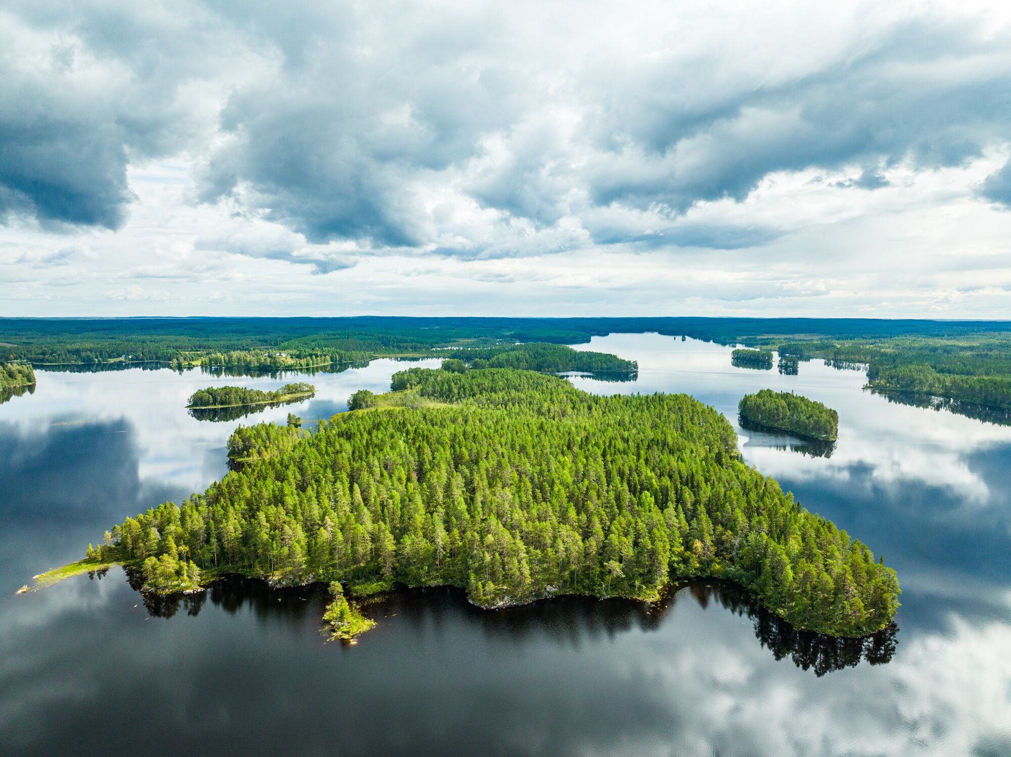

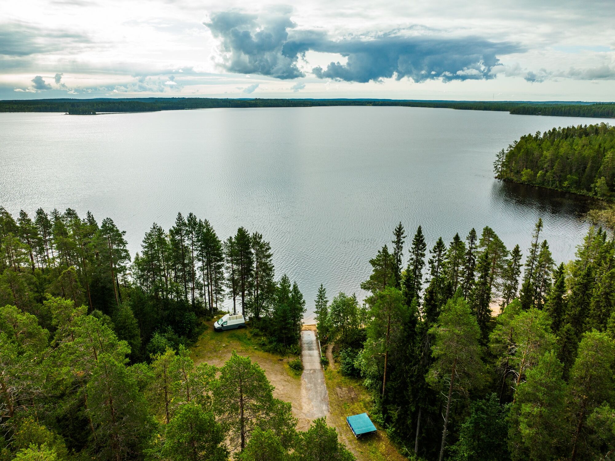
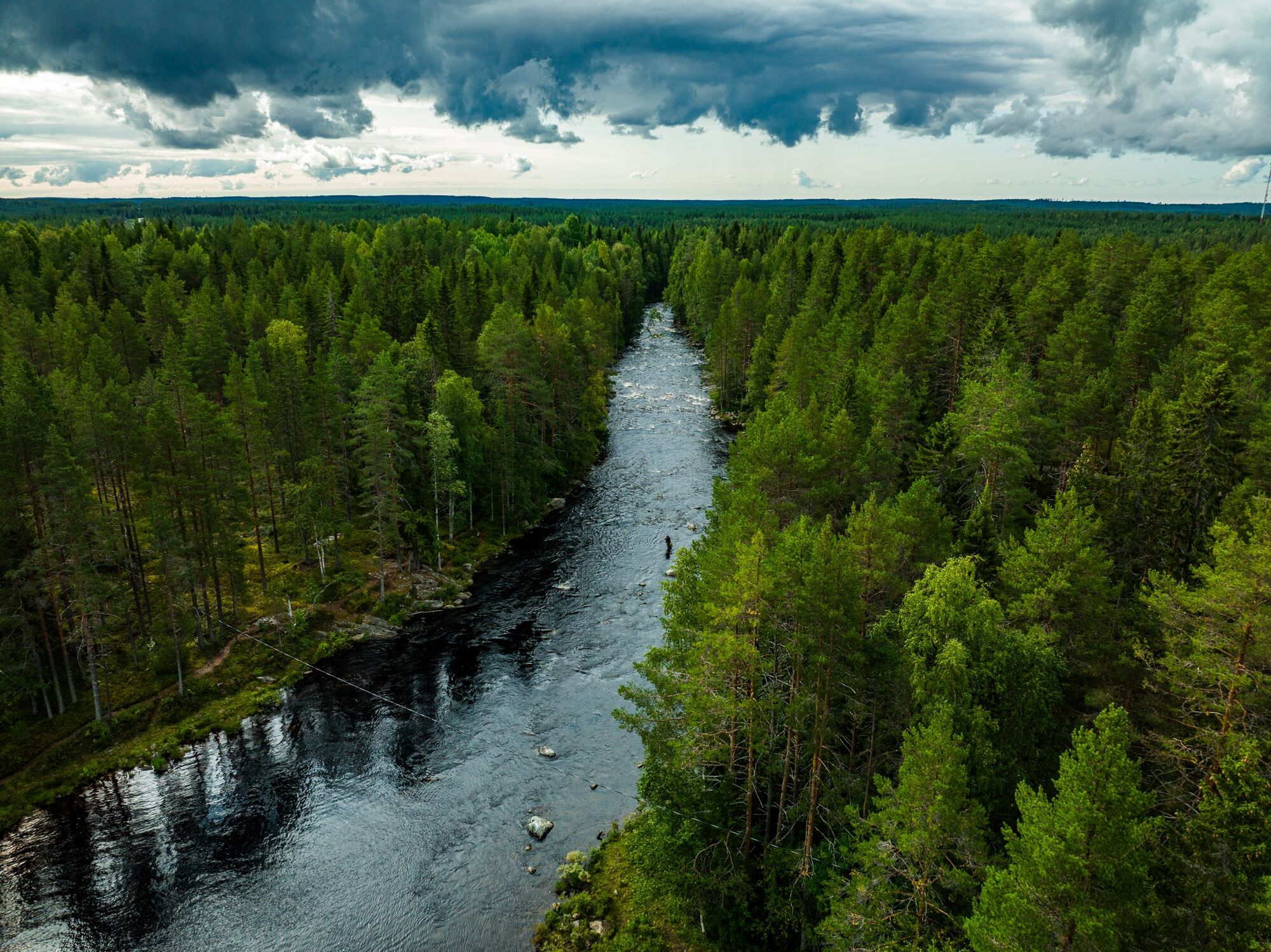
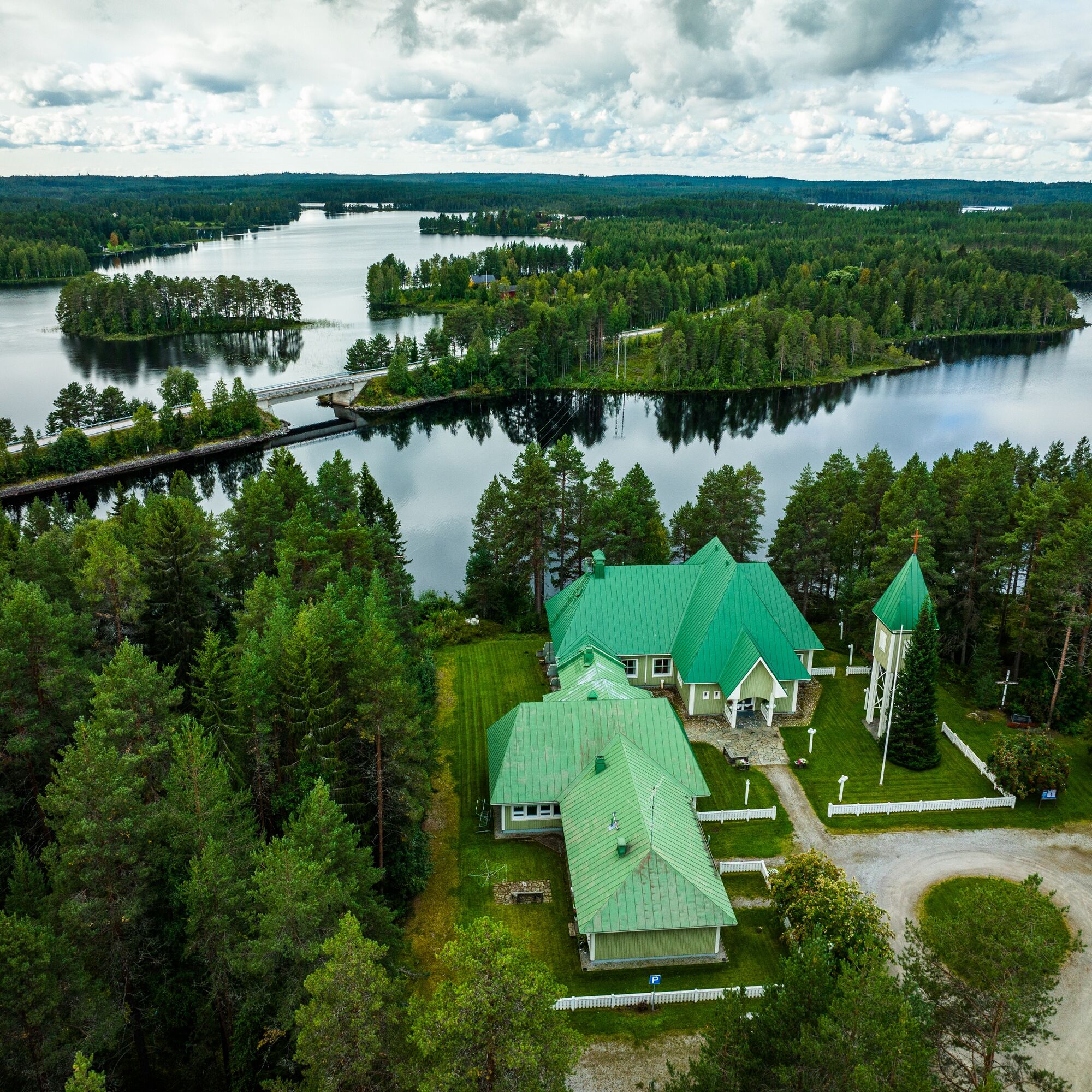
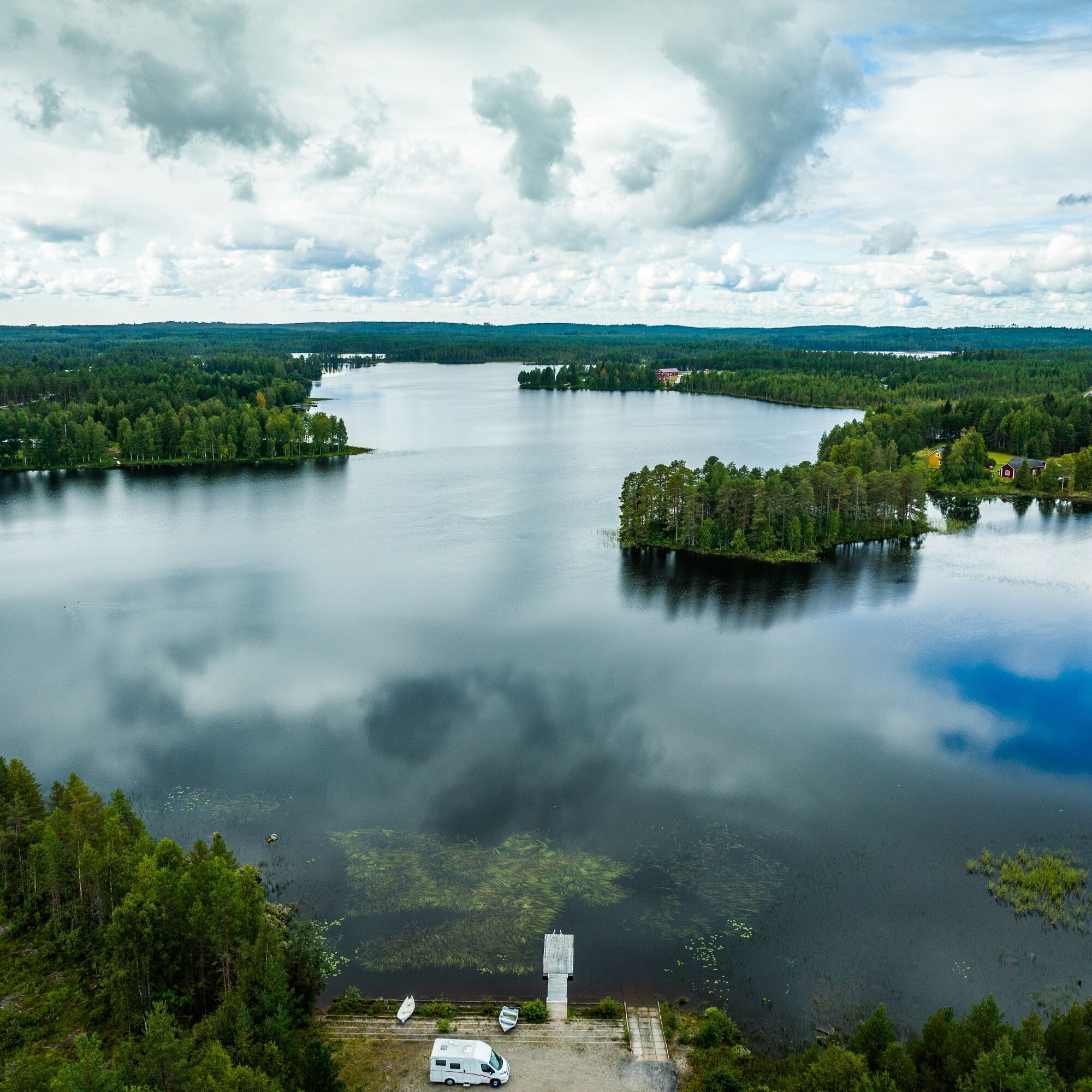
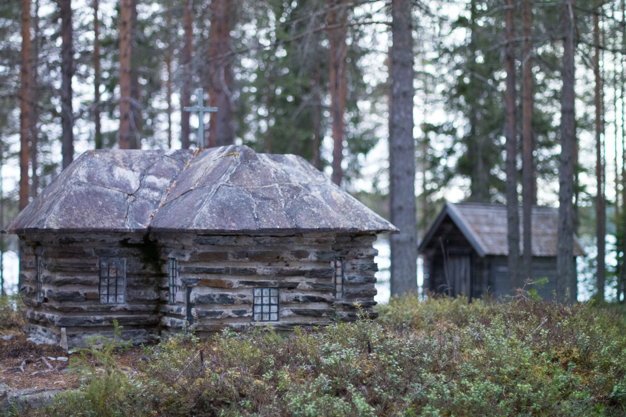
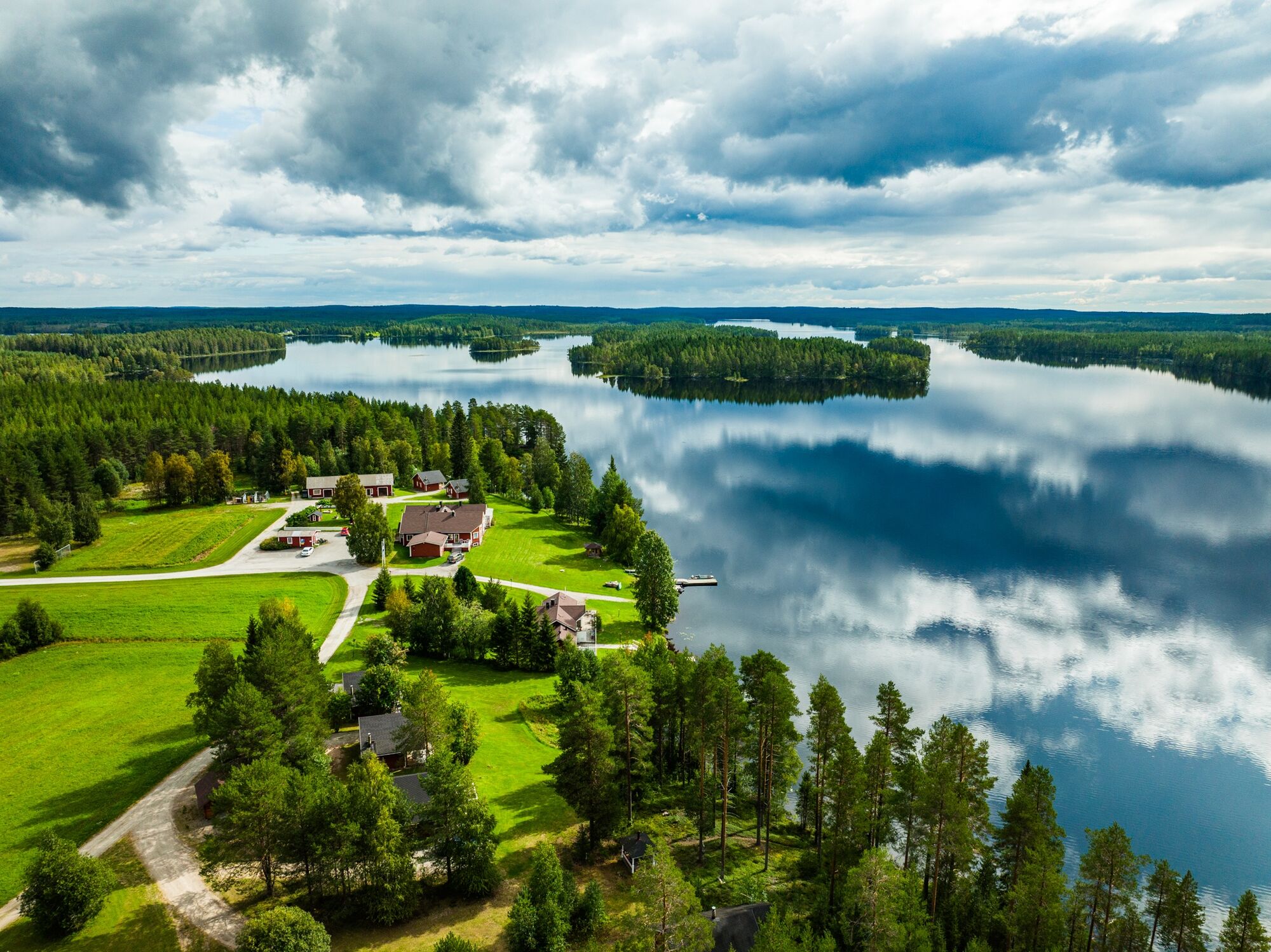
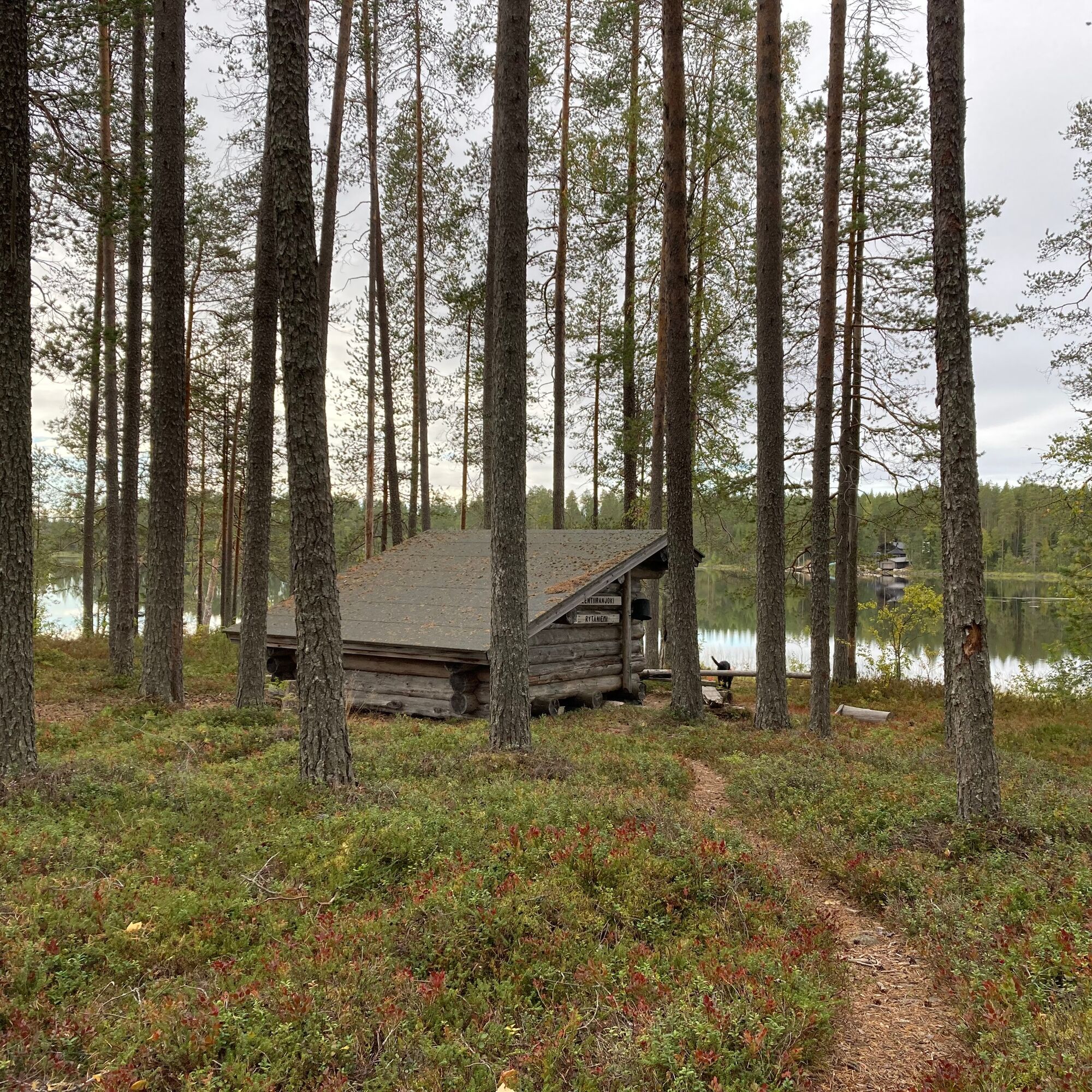
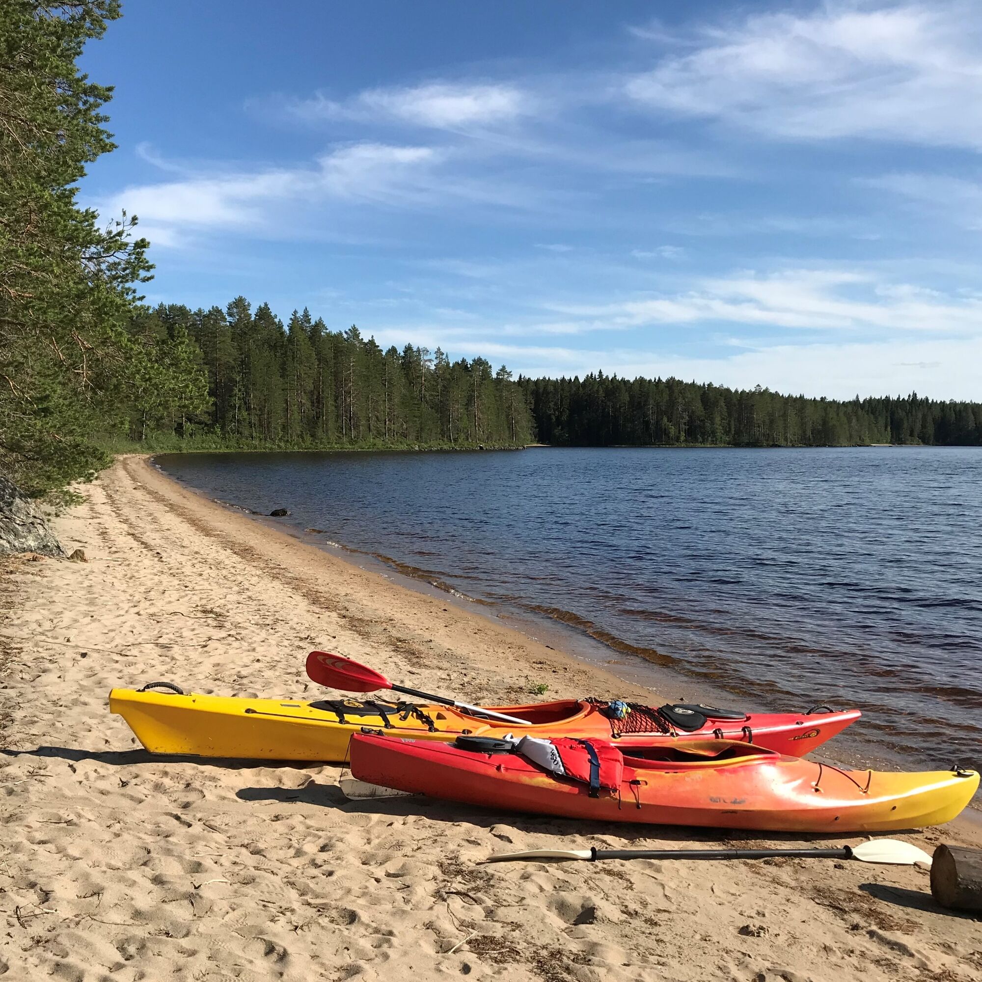
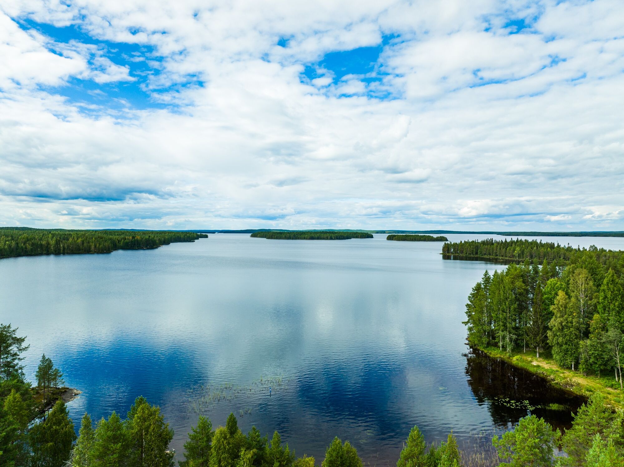
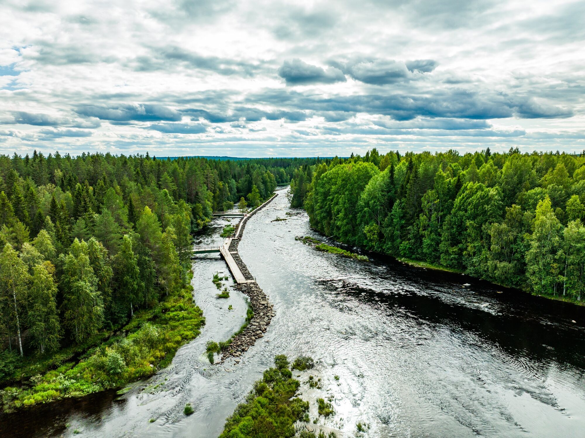
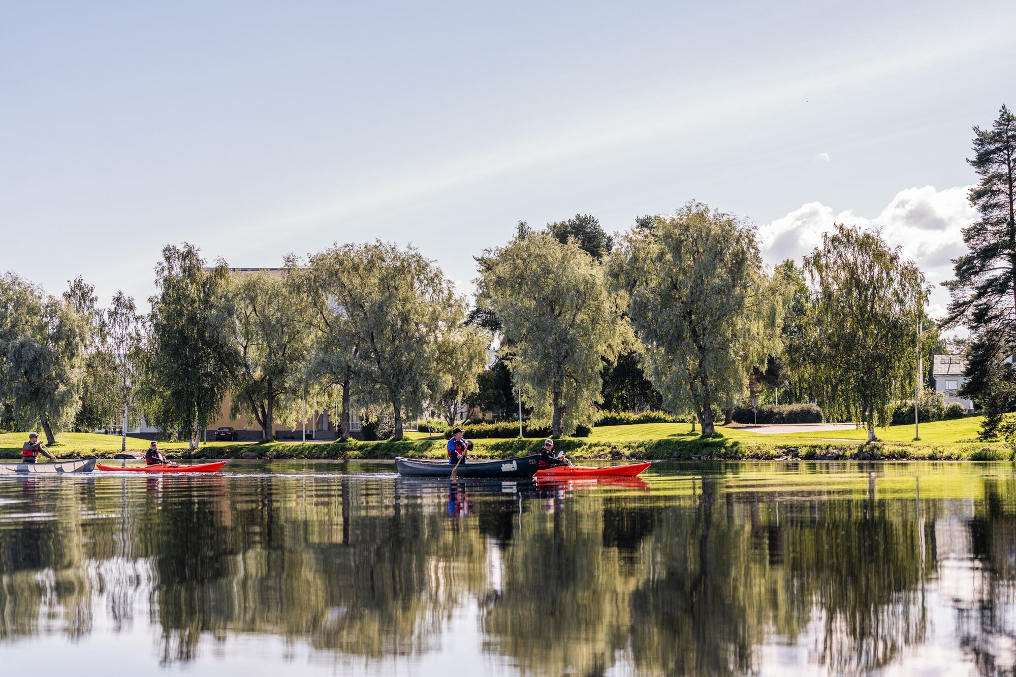
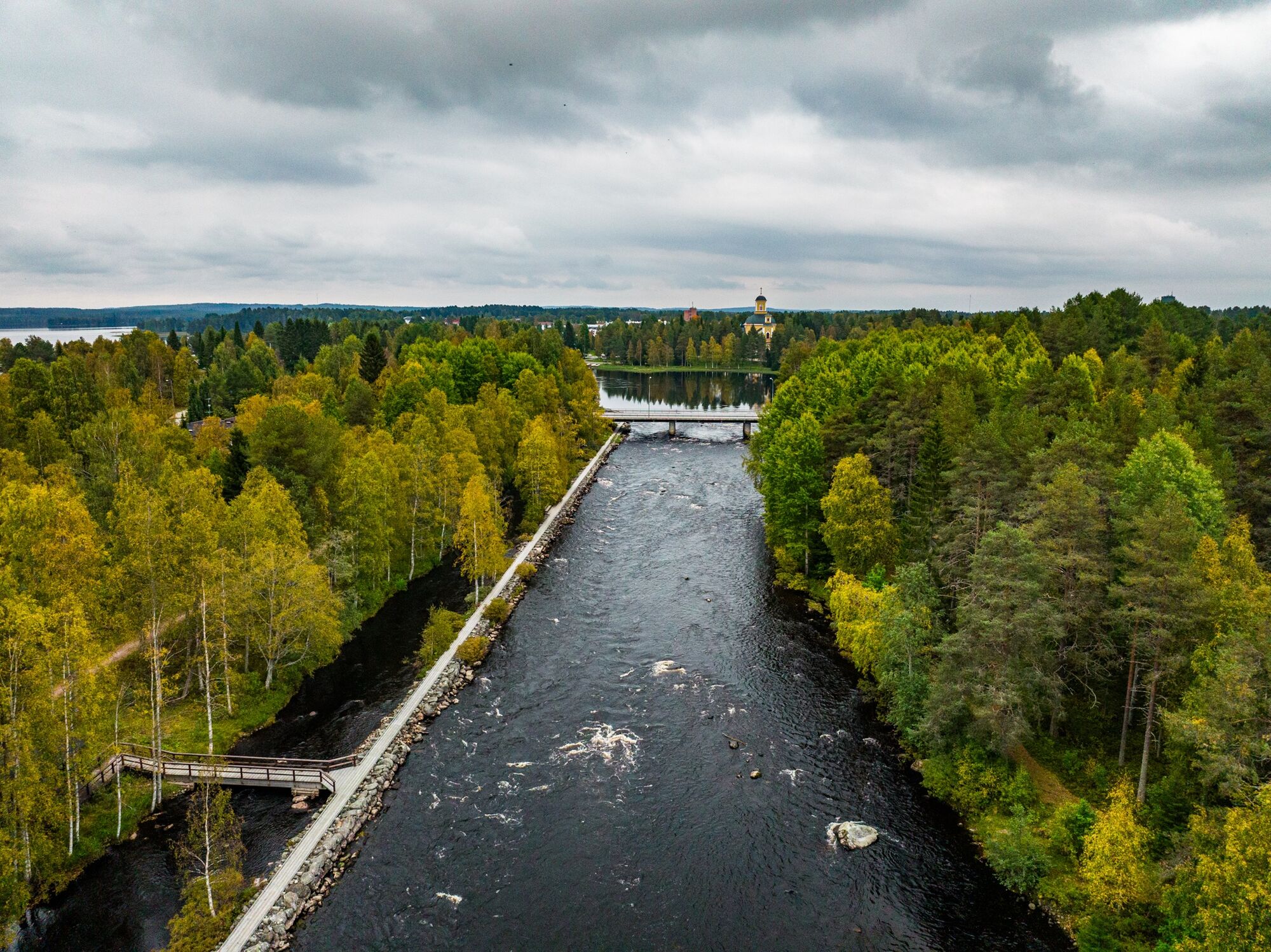
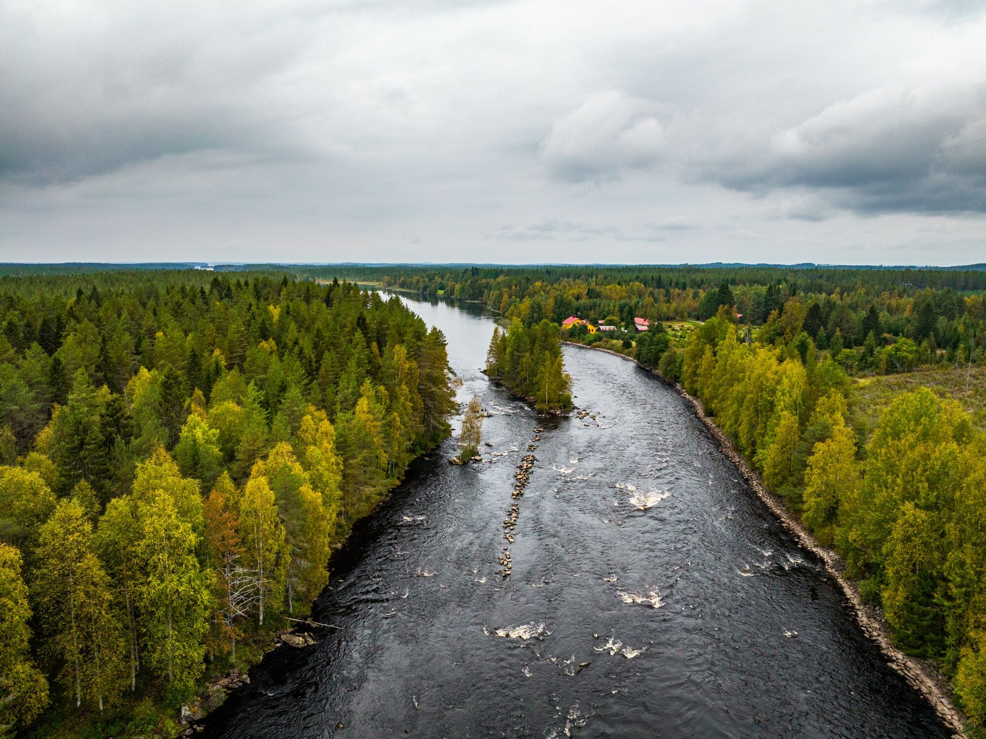
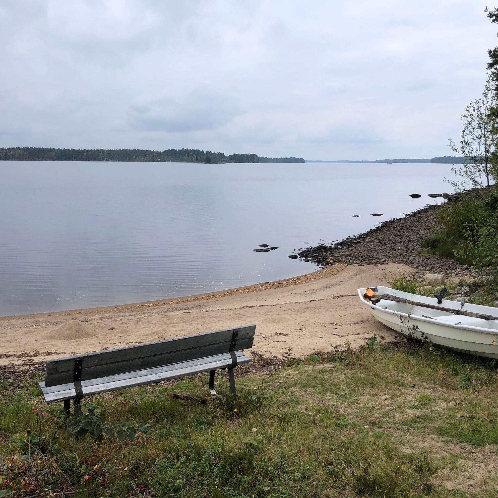
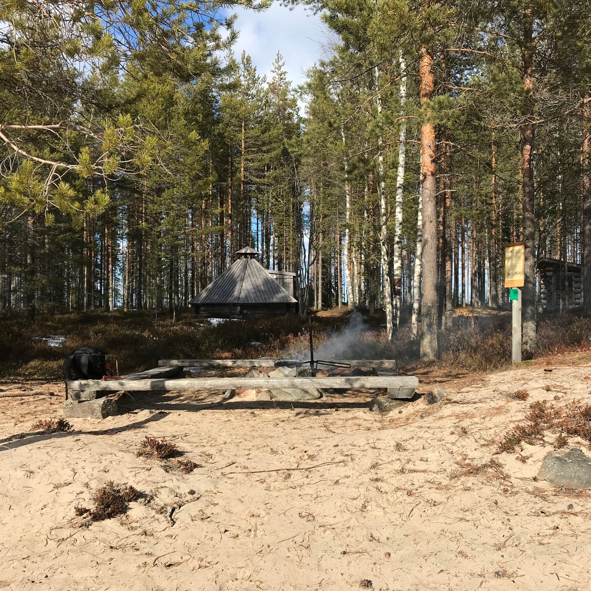
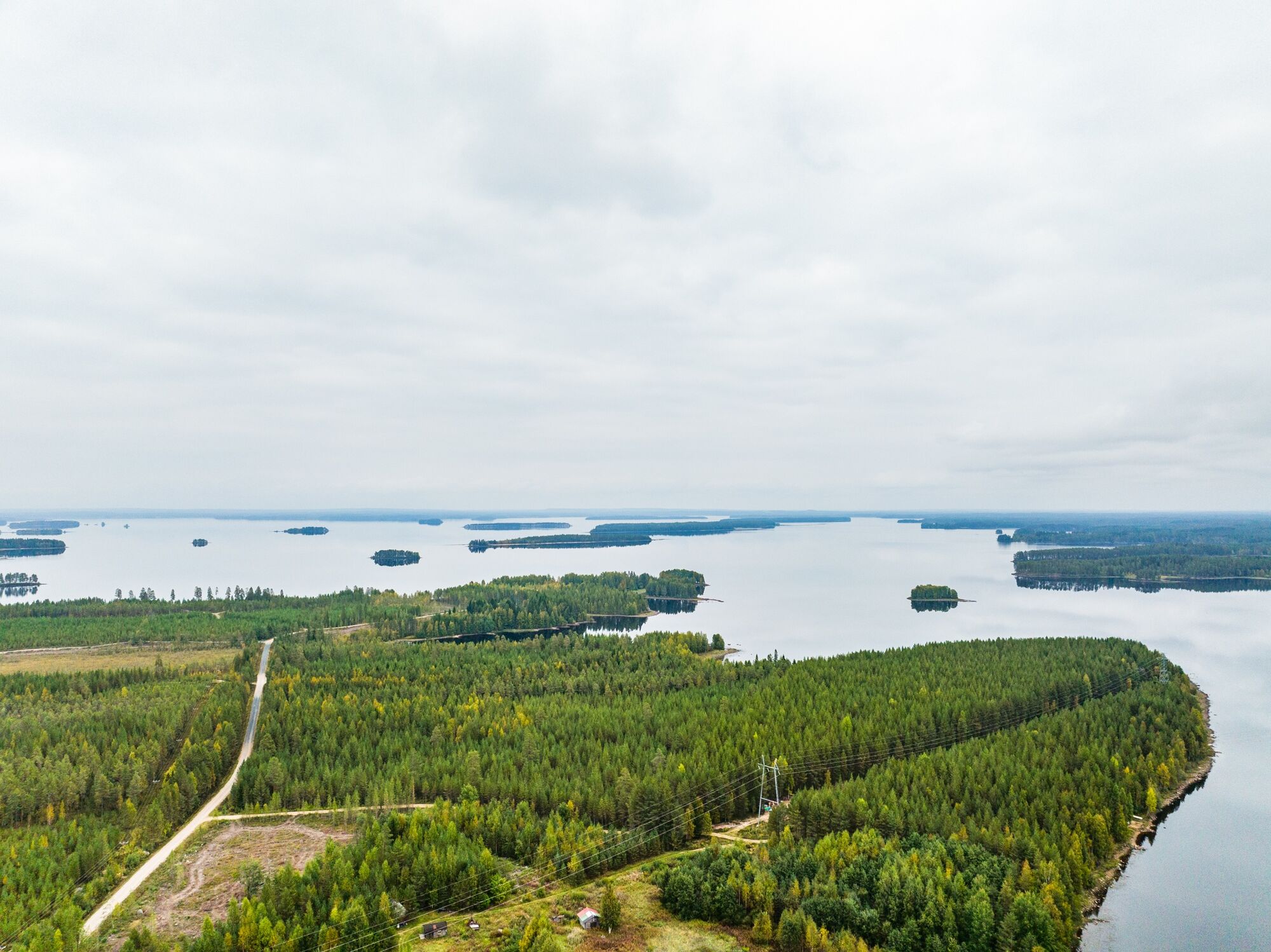
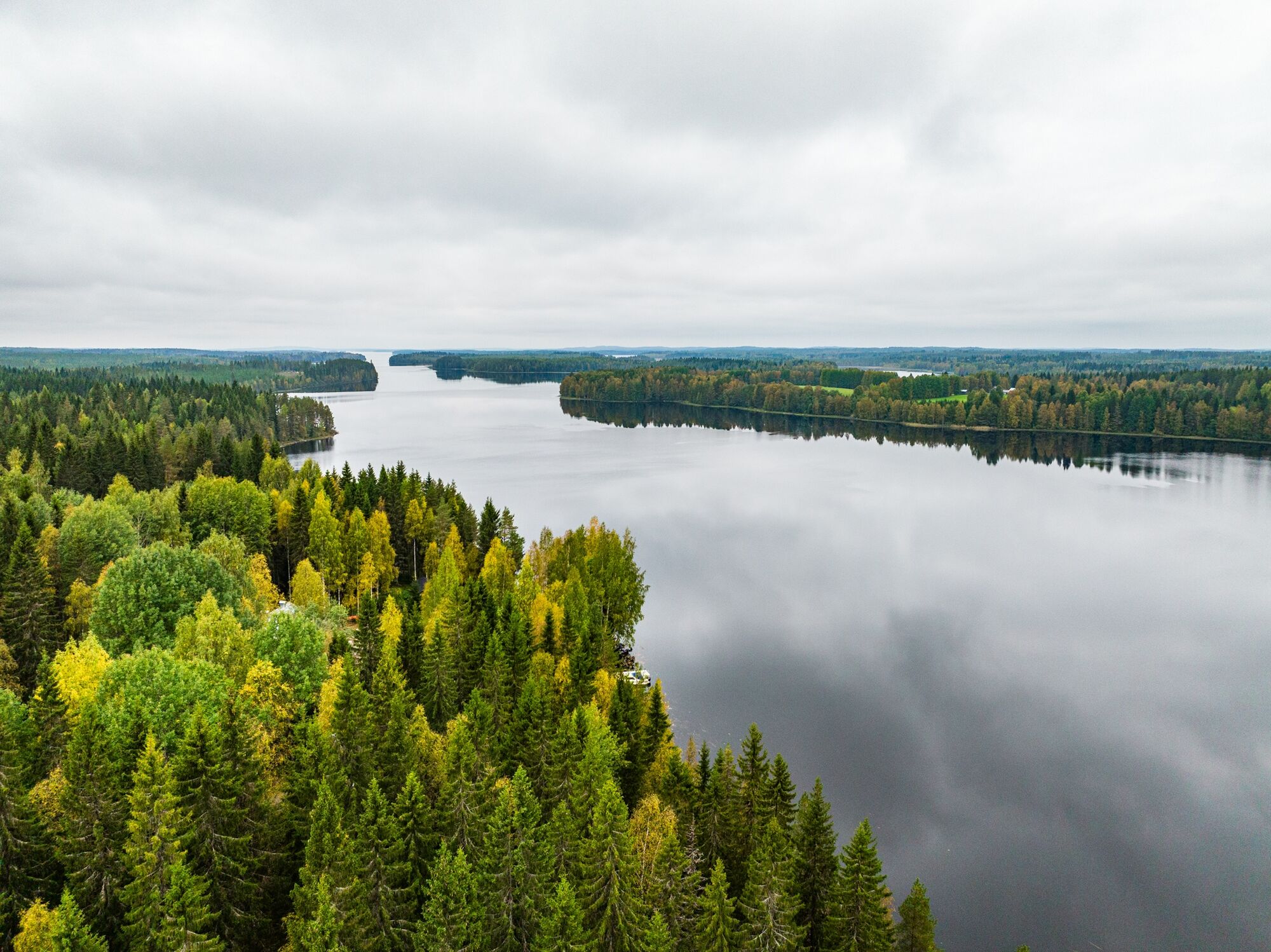
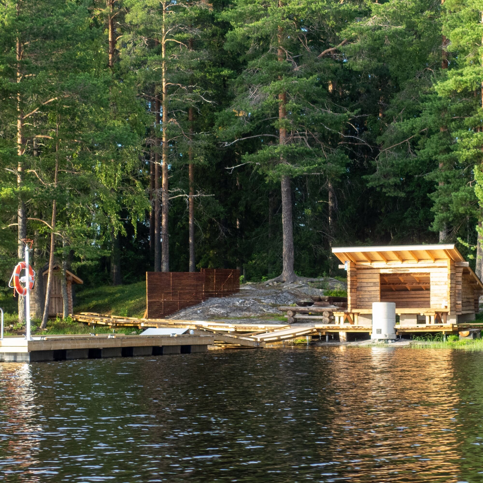
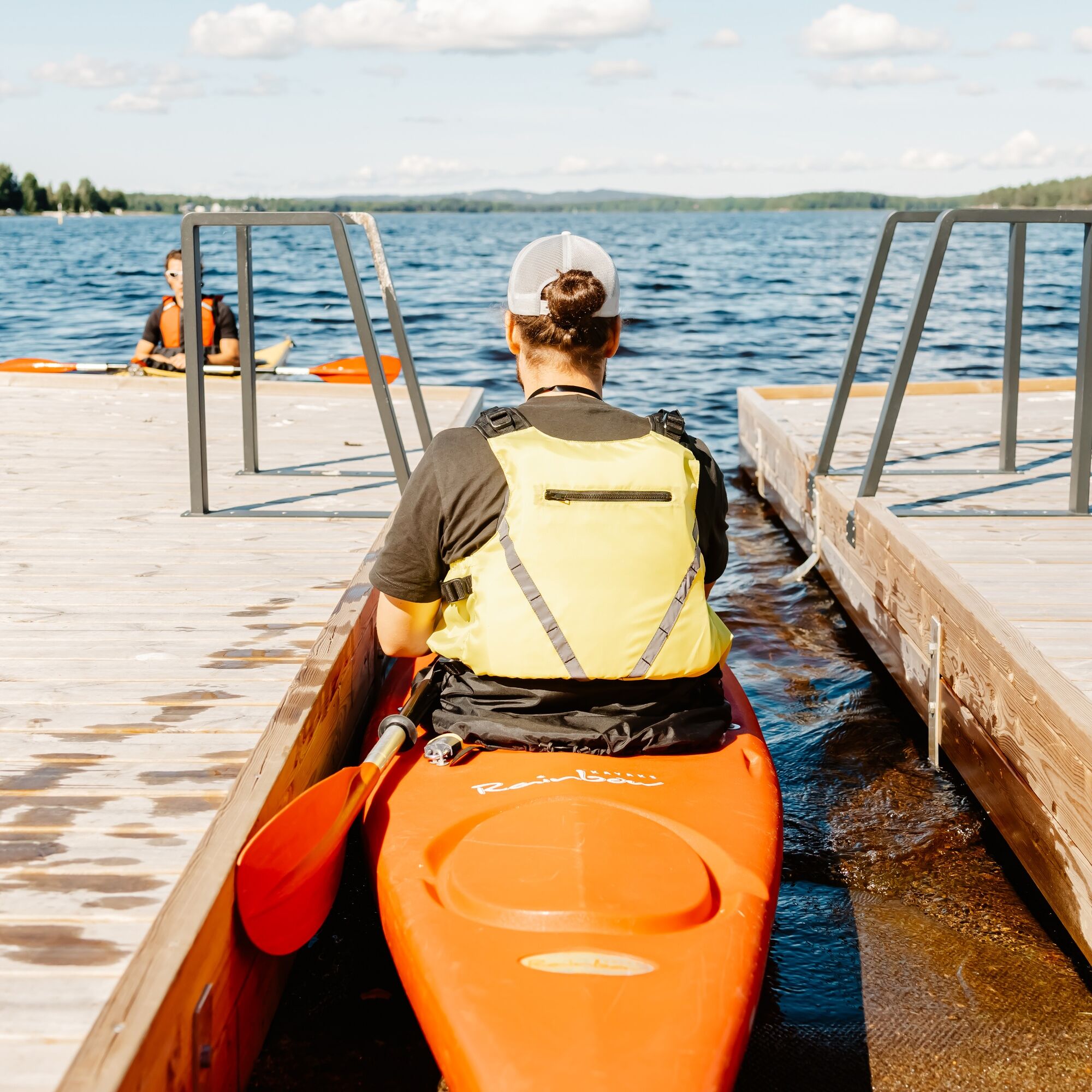
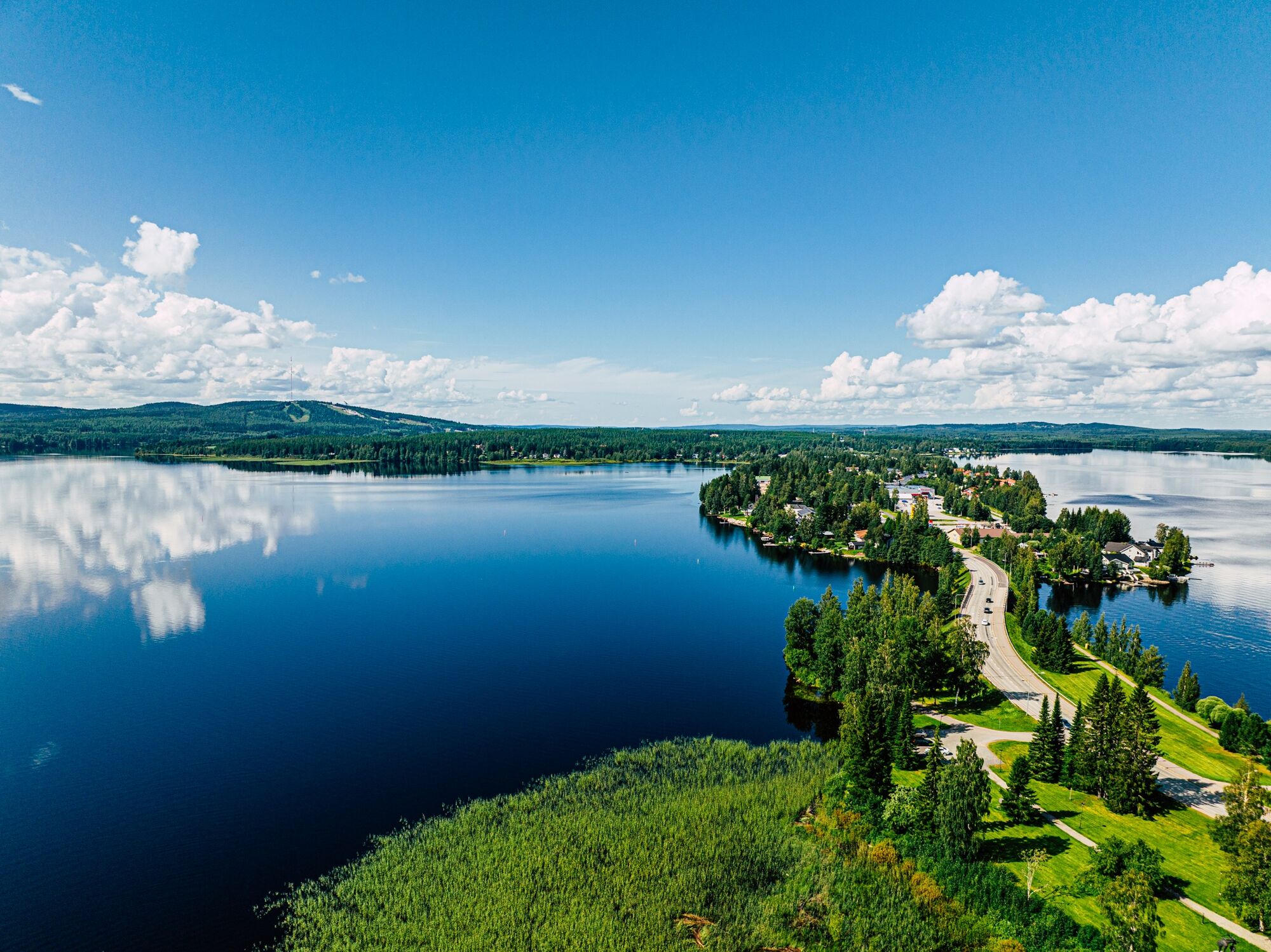
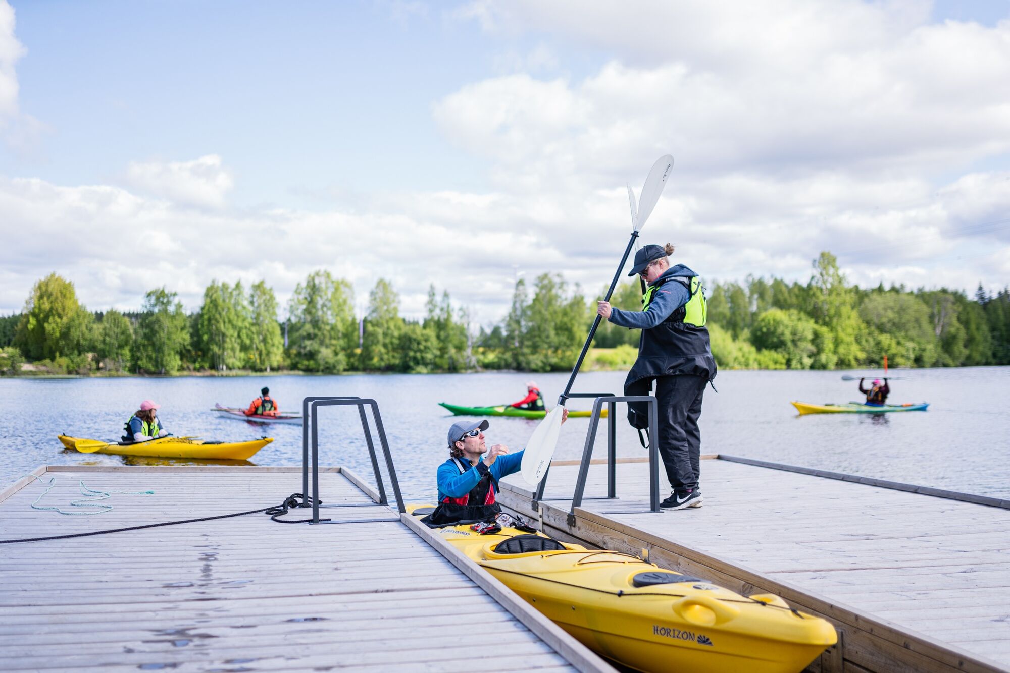
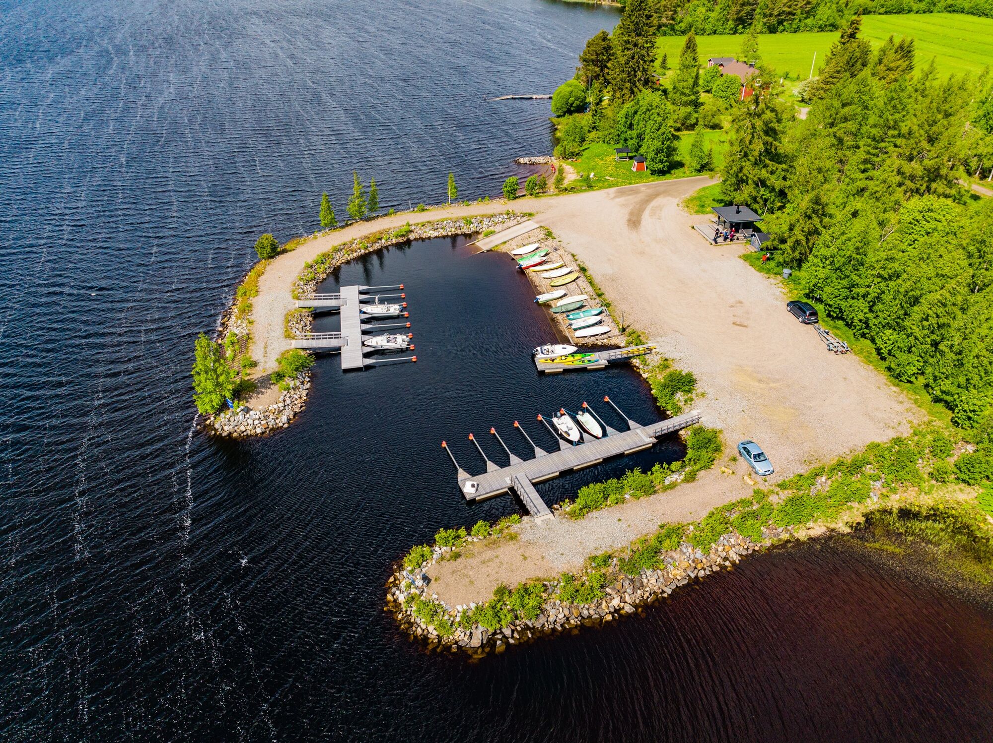
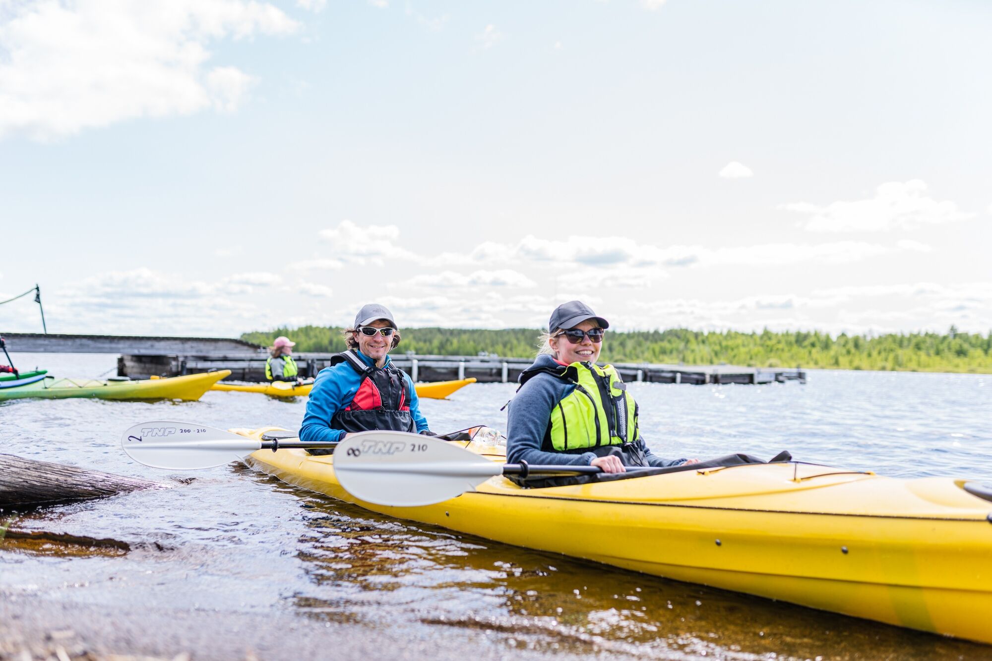
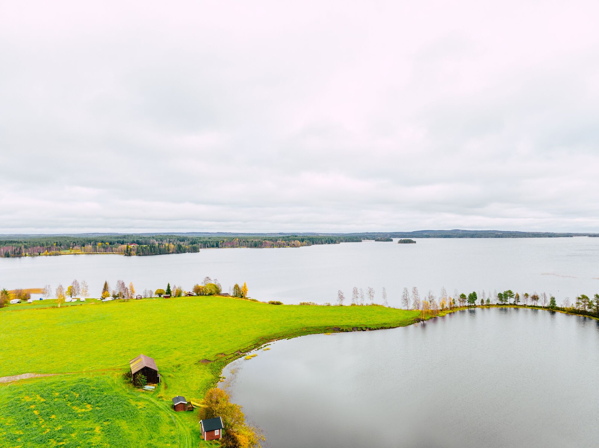
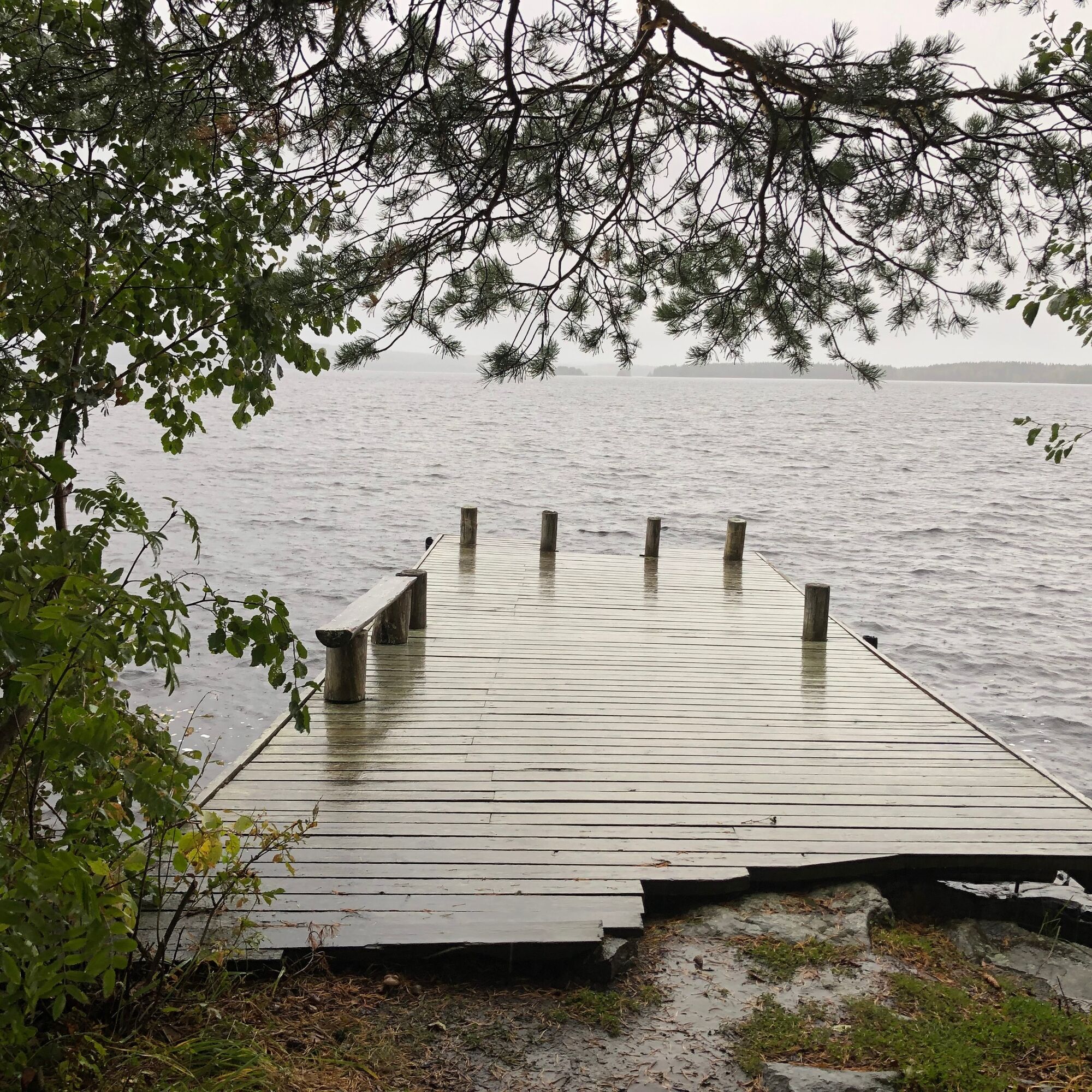
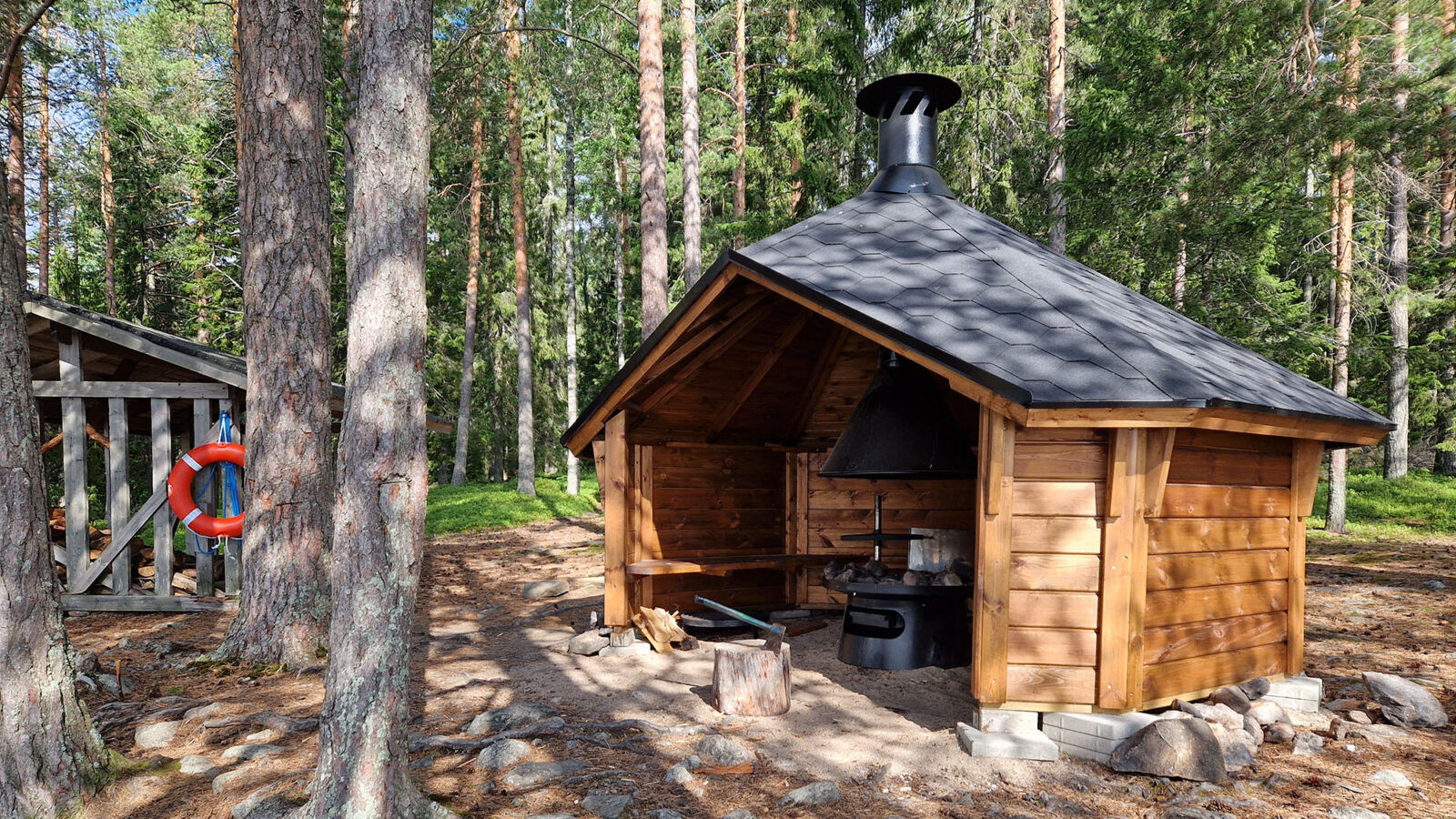
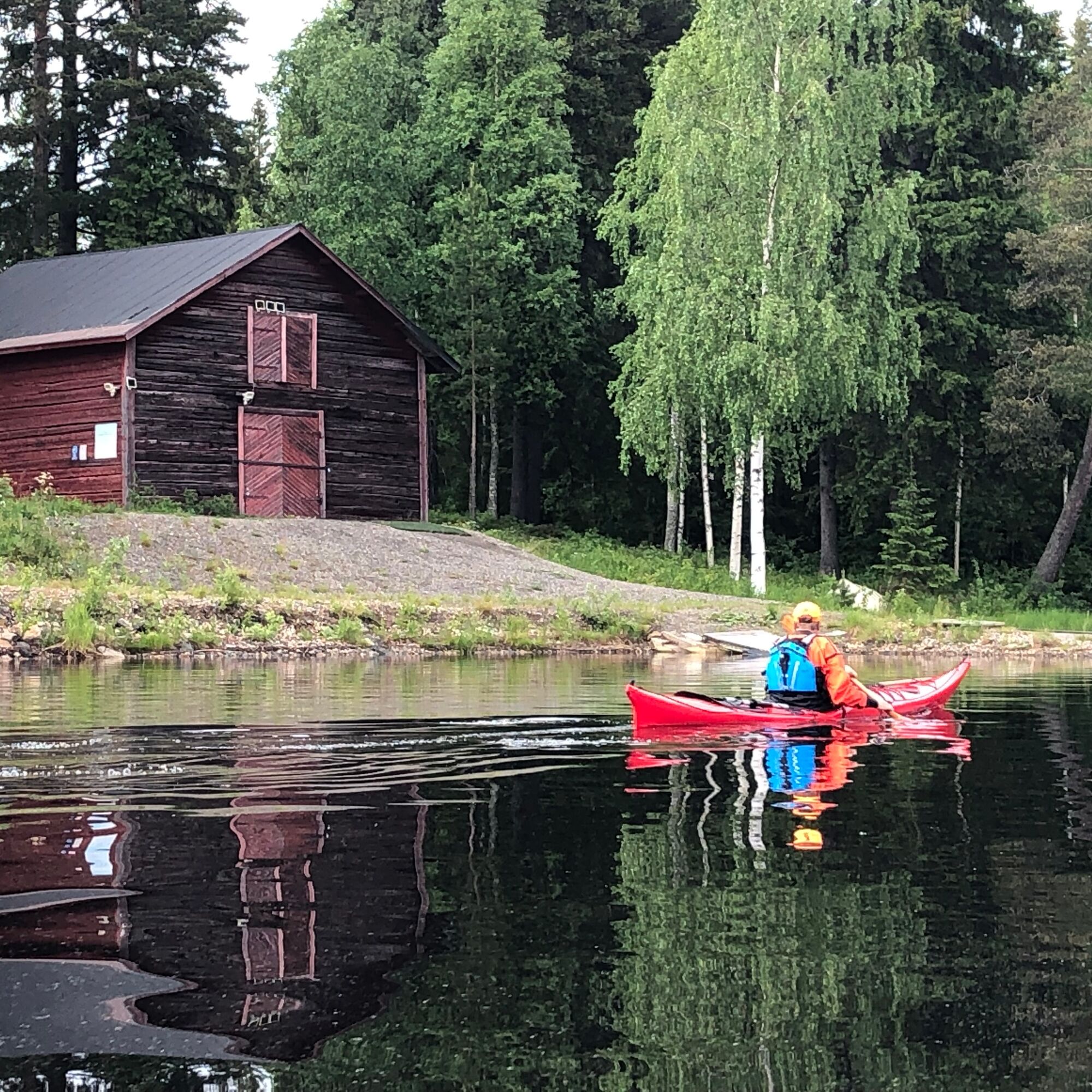
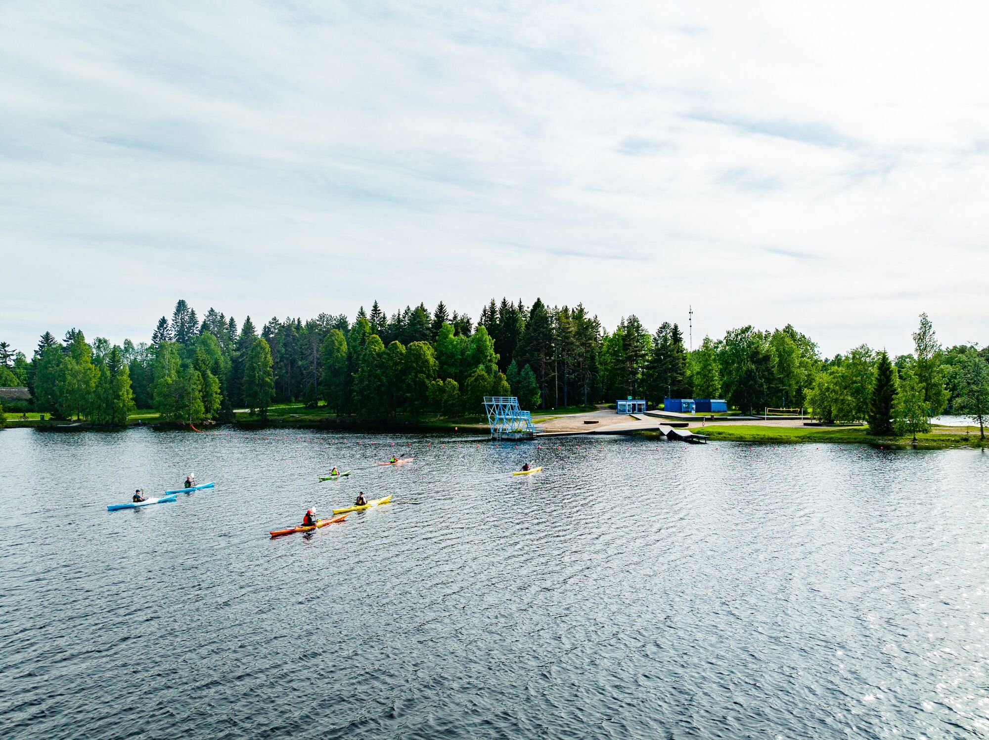

The Kainuu Tar Route water trail is divided into three stages.
Stage 1: Änätti - Kuhmo
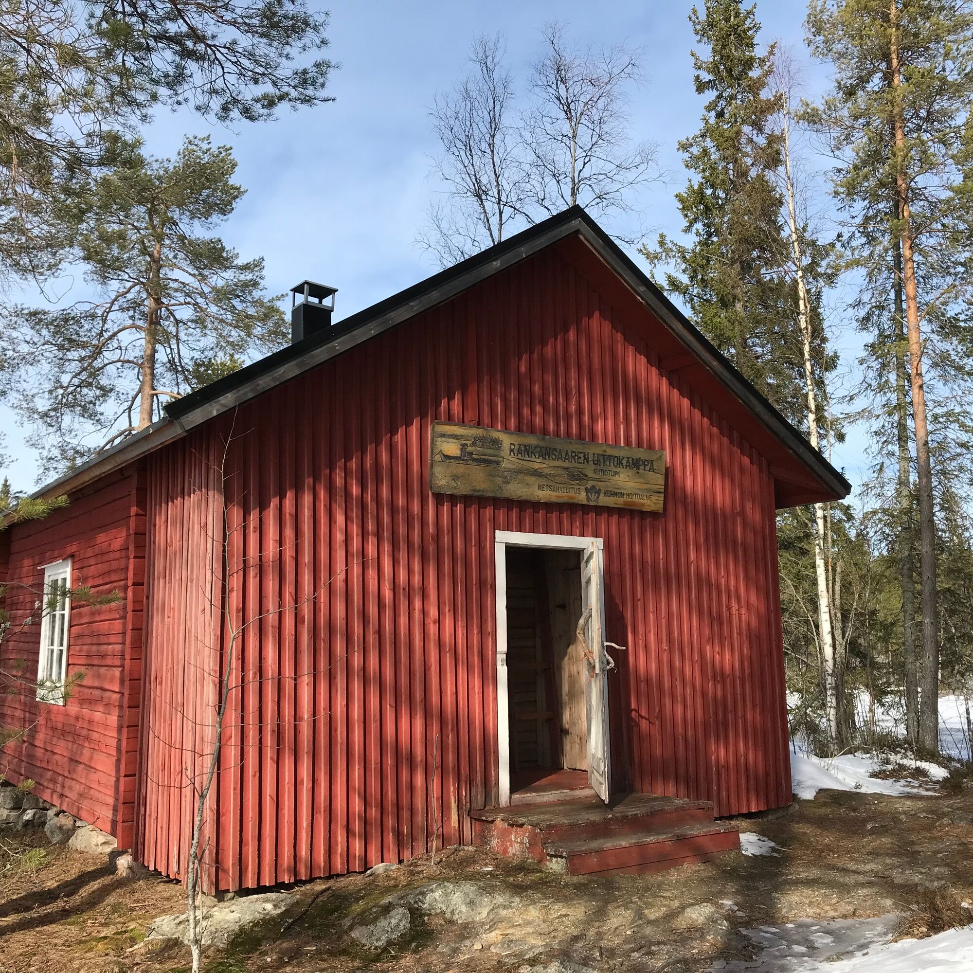
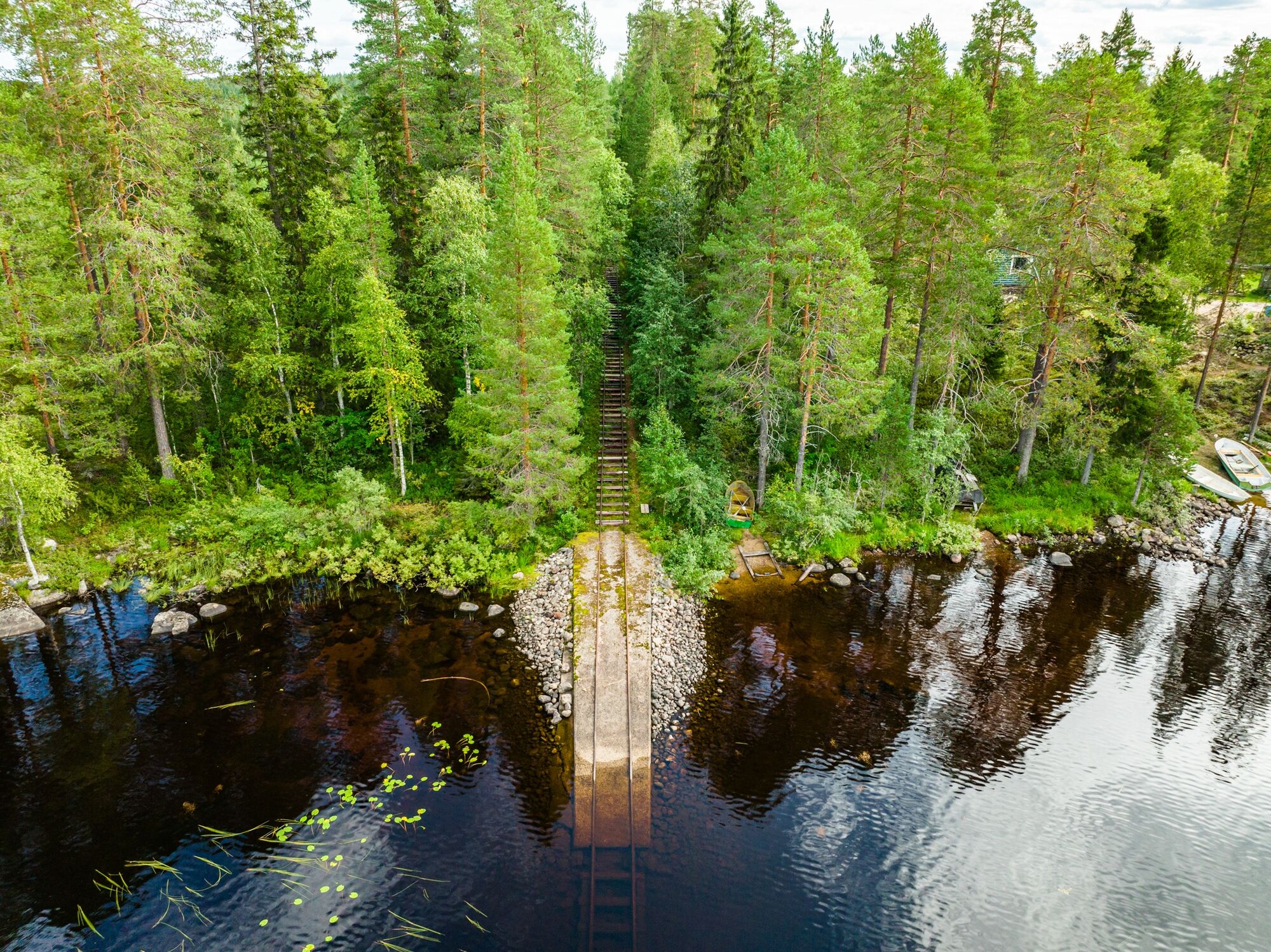
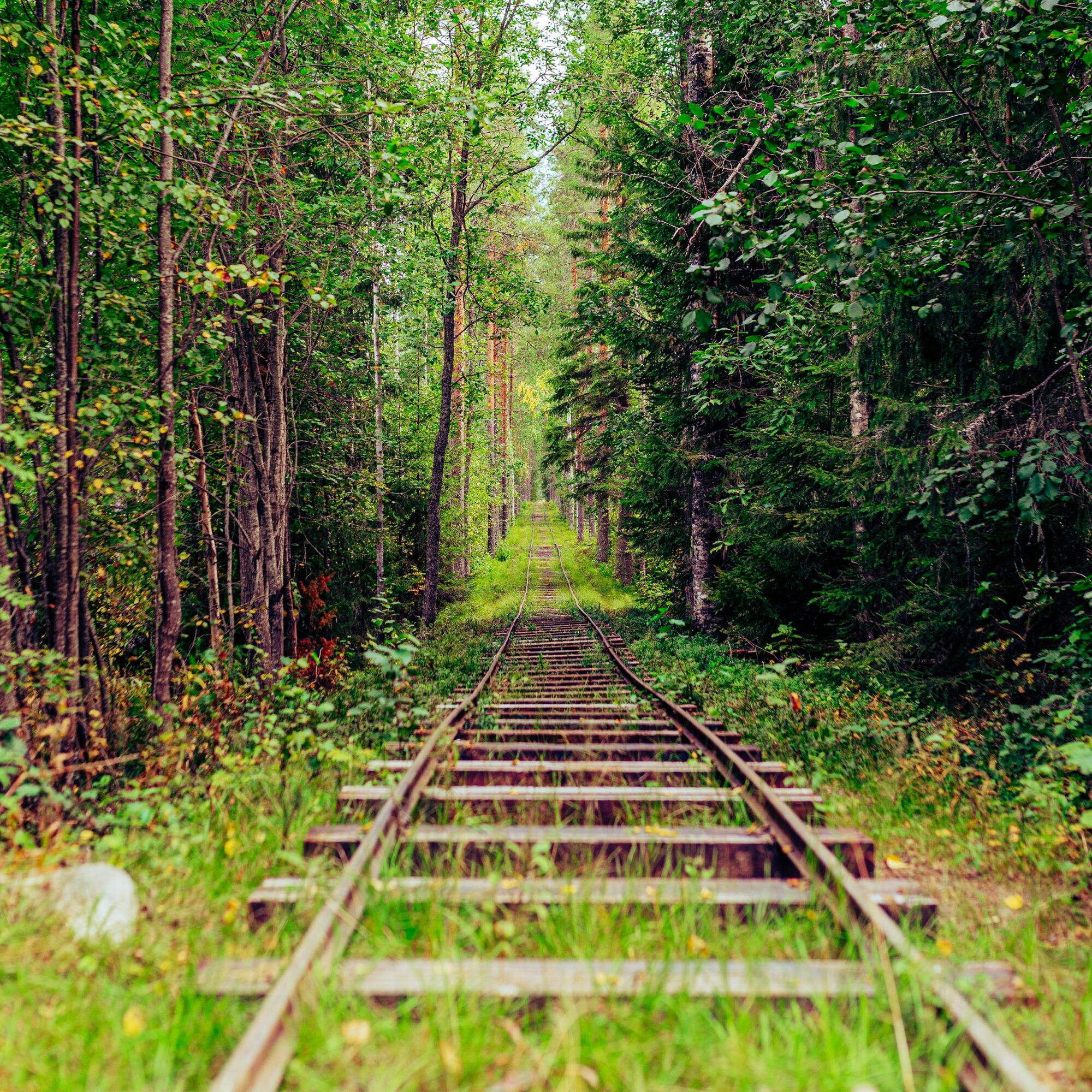
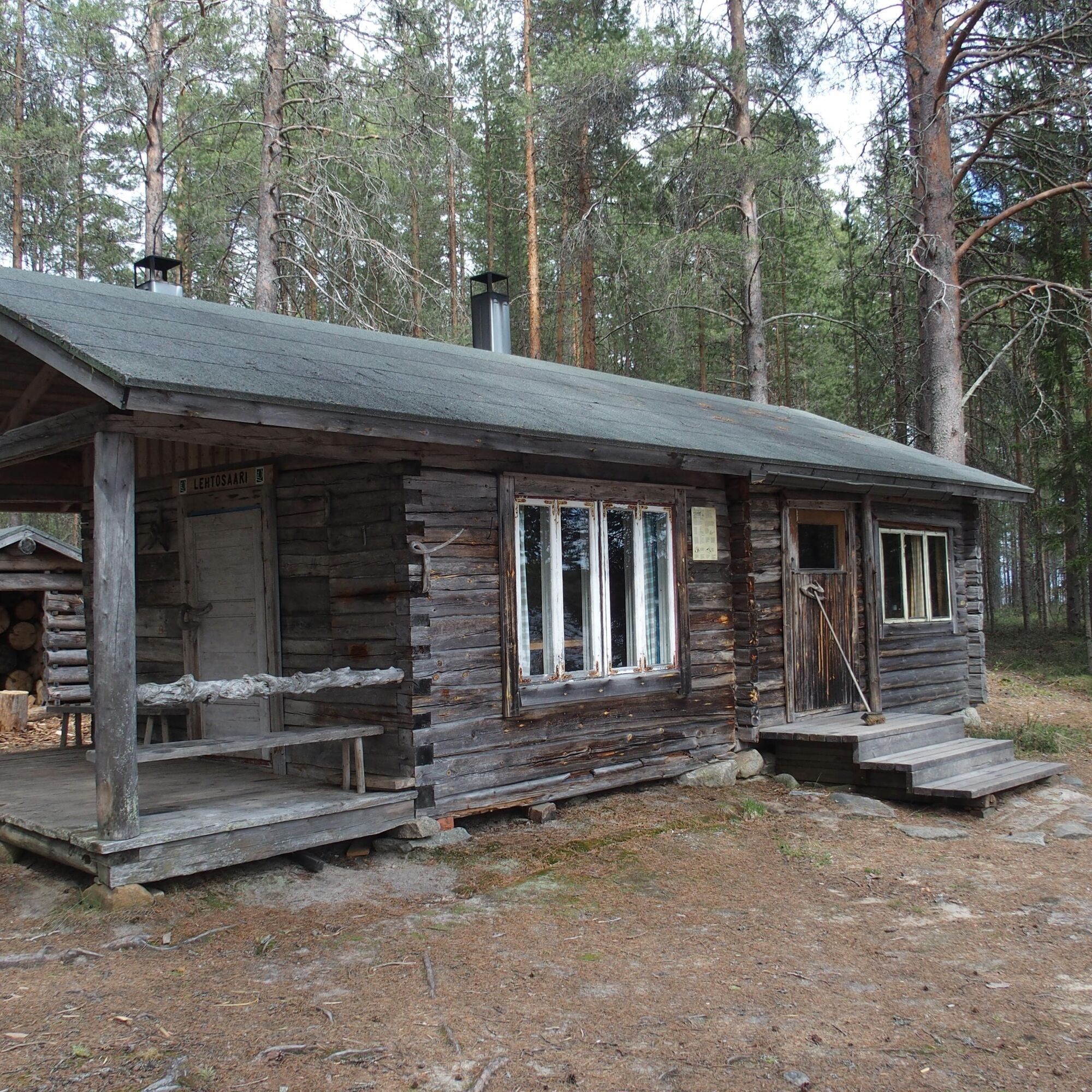
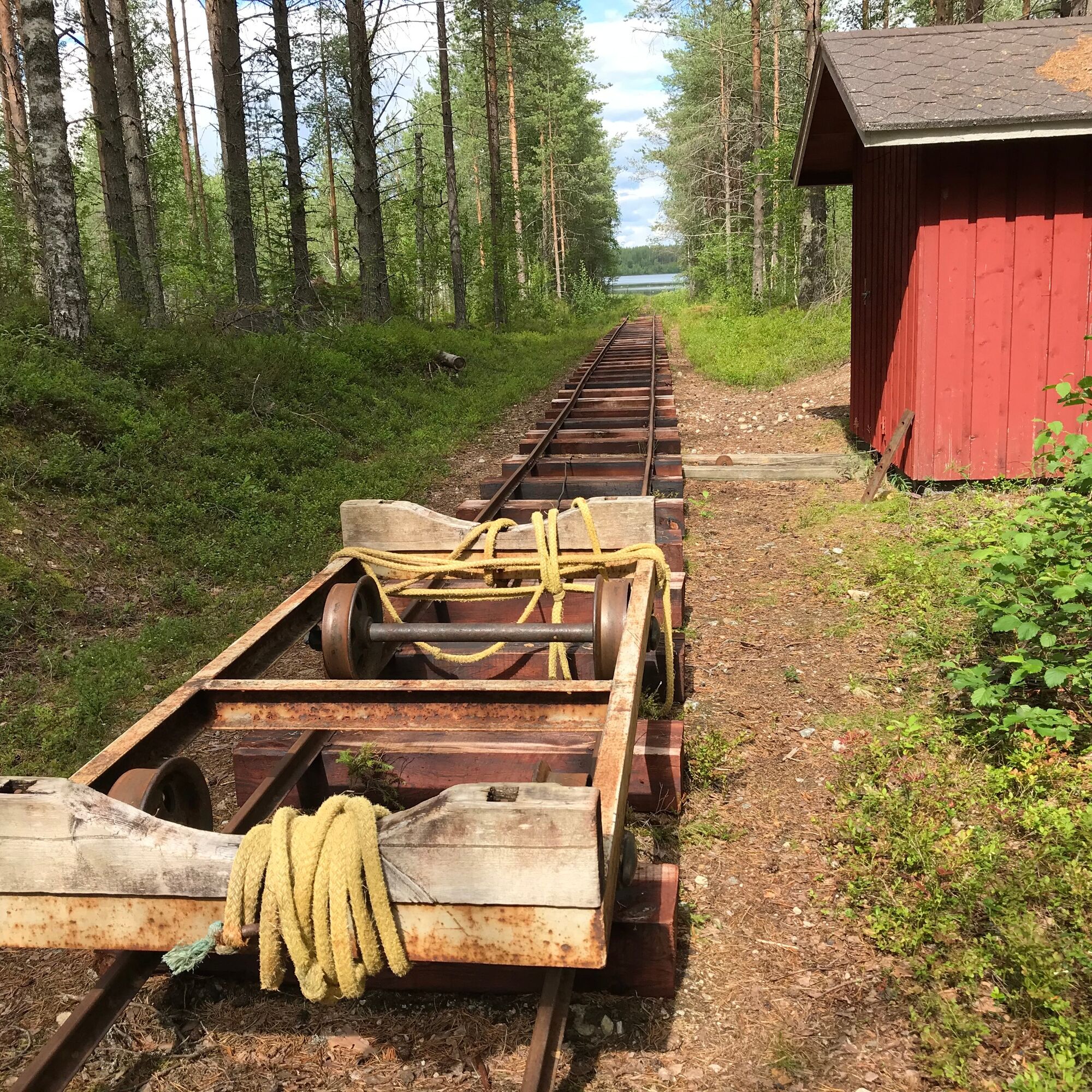
Duration: 4 days Traverse through wilderness lakes and easy rapids. Portages equipped with rails to facilitate transportation. Two wilderness huts, one with a sauna. Lentua Nature Reserve.Stage 2: Kuhmo - Sotkamo
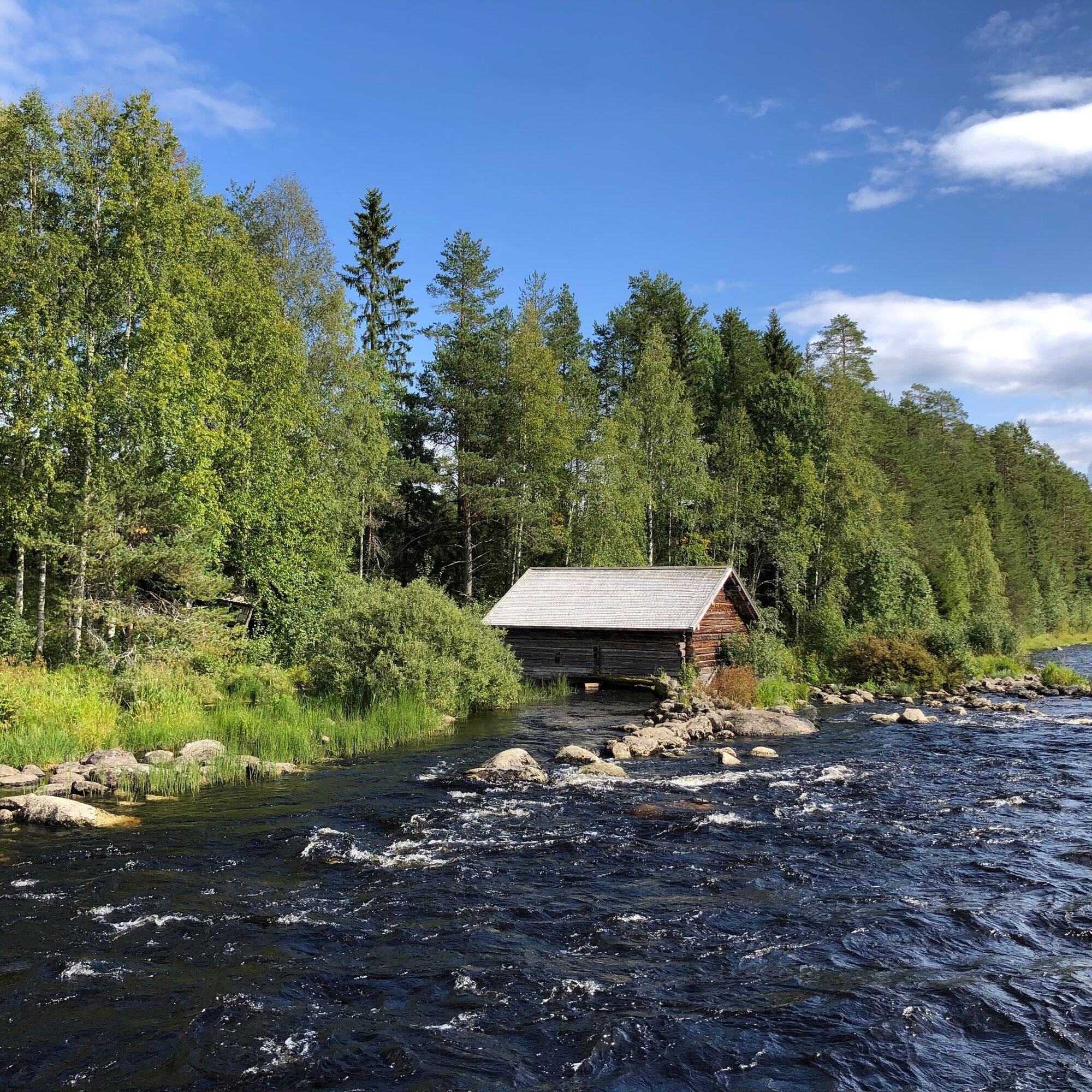
Duration: 3 days Encounter easy rapids and stunning lakes. Pass by hydroelectric power plants. Navigate through intricate waters.Stage 3: Sotkamo - Kajaani
Duration: 2 days Explore the lake and hillscapes of Sotkamo and Vuokatti. Enjoy the versatile rest stops at Iso Nuasjärvi and Rehjansaari.The route is navigable by canoe and kayak, and mostly also by smaller boats, such as rowboats (which are light enough to be towed).
The route is suitable for experienced paddlers as a destination for excursions.
Note that the shores along this route are privately owned. Landing is permitted under the right of public access.
There are wind-sensitive areas in the lake sections that may cause waves.
During summers, there may be some motorboat traffic. Paddlers must yield to other watercraft.
Plan your paddling route according to your skills. Stay close to the shore in lake sections and scout rapids from the shore beforehand.
Keep your life jacket on while paddling and preferably paddle close to the shore.
Secure all equipment well to the canoe, preferably in waterproof bags or containers.
Pack first aid supplies, spare clothes, and matches in waterproof containers.
Pack your phone and a backup power source waterproofly.
It's safest to paddle with a companion or in a group, especially if you're unfamiliar with the water area.
Before embarking on your paddling trip, check the weather forecast. Pay attention to wind direction and strength on open lakes.
Bring spare clothes, snacks, and drinks as there may not be opportunities to replenish along the route.
Bring an ample supply of clean drinking water and/or water purification tools. Replenish water whenever possible.
Each paddler makes their own route choices on the rapids sections, and the decision to descend is at their own risk. The situation must be assessed on-site based on personal observations and skills.
If you encounter an emergency during your excursion, call 112 and report the emergency - use the 112 application.
Starting point: From Lentiirantie 4699, guidance to the beach, the western shore of the lake.
There is no public transport to the starting point of the route, Änättijärvi in ââLentiira. There is a regular bus service between the centers of Kajaani, Sotkamo and Kuhmo.
Free parking on the beach.
Kayaks and canoes can be rented e.g.
https://www.erapiira.fi/ https://www.vuokattisafaris.com/ https://luonnollisesti.fi/You can paddle the entire route at once or in stages.
Rutas populares en los alrededores
-
Kainuun Tervareitti: Tramo de arrastre de Kallioinen para navegantes, Sotkamo
luzKayak / Canoa 0,89 km -
Bicicleta de ruta Tervantie de Lentiira a Kajaani 149 km, Kainuu
medioCiclismo de larga distancia 149,7 km -
Kainuun tervareitti / Etappi 2: Kuhmo - Sotkamo 75 km
pesadoKayak / Canoa 73,3 km -
Kainuun Tervareitti: tramo de remolque Katerman para piragüistas, Kuhmo
luzKayak / Canoa 1,93 km -
Sendero de la orilla de Syväjärvi, 4,5 km, Kuhmo
luzSenderismo 4,40 km

Senderismo y rastreo


No se pierda las ofertas y la inspiración para sus próximas vacaciones
Su dirección de correo electrónico se ha añadido a la lista de correo.





