


Singerberg, über die Südseite

In autumn and also in winters with little snow, this hike from Windisch Bleiberg via the south side is a popular tour.

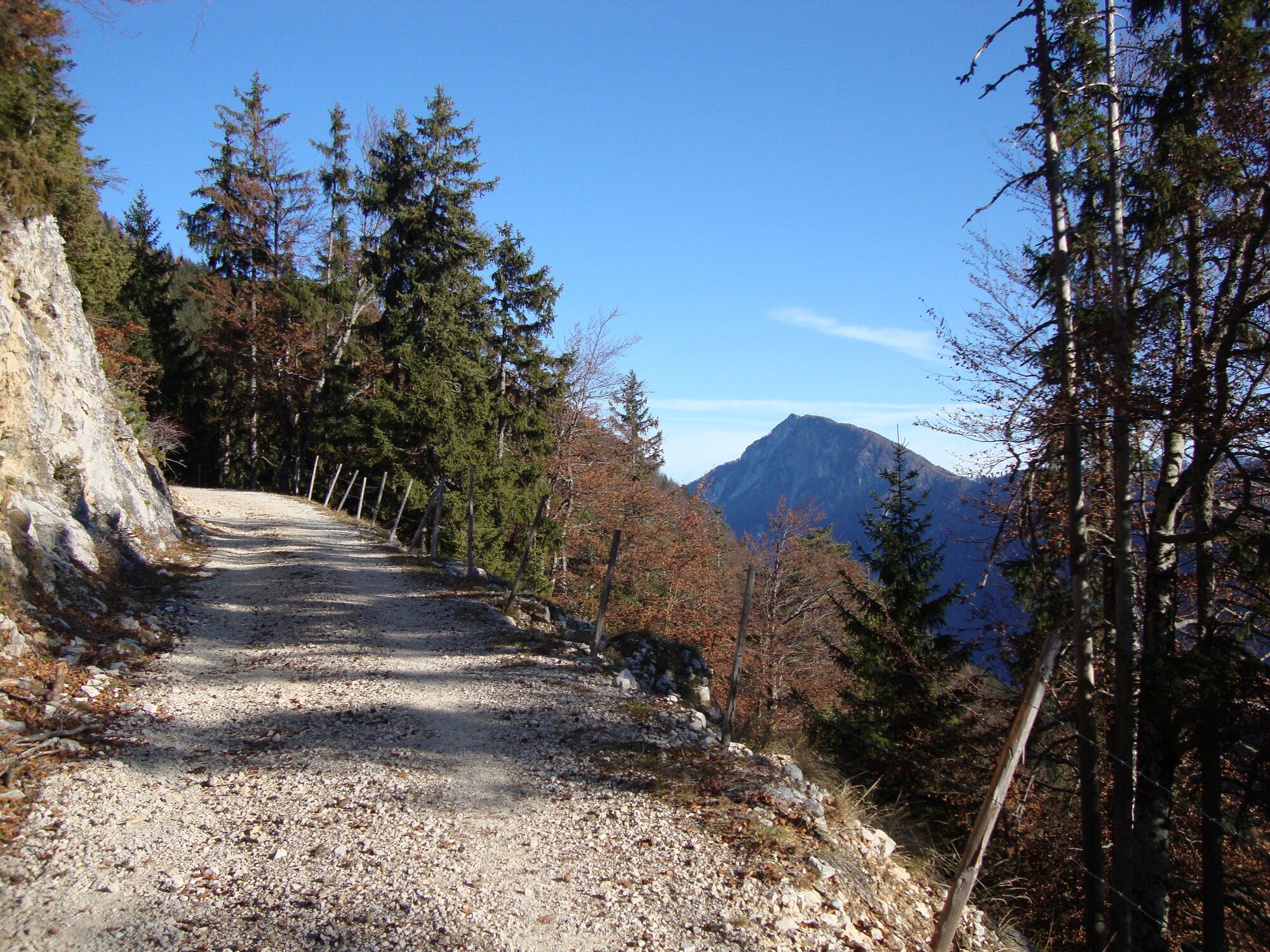
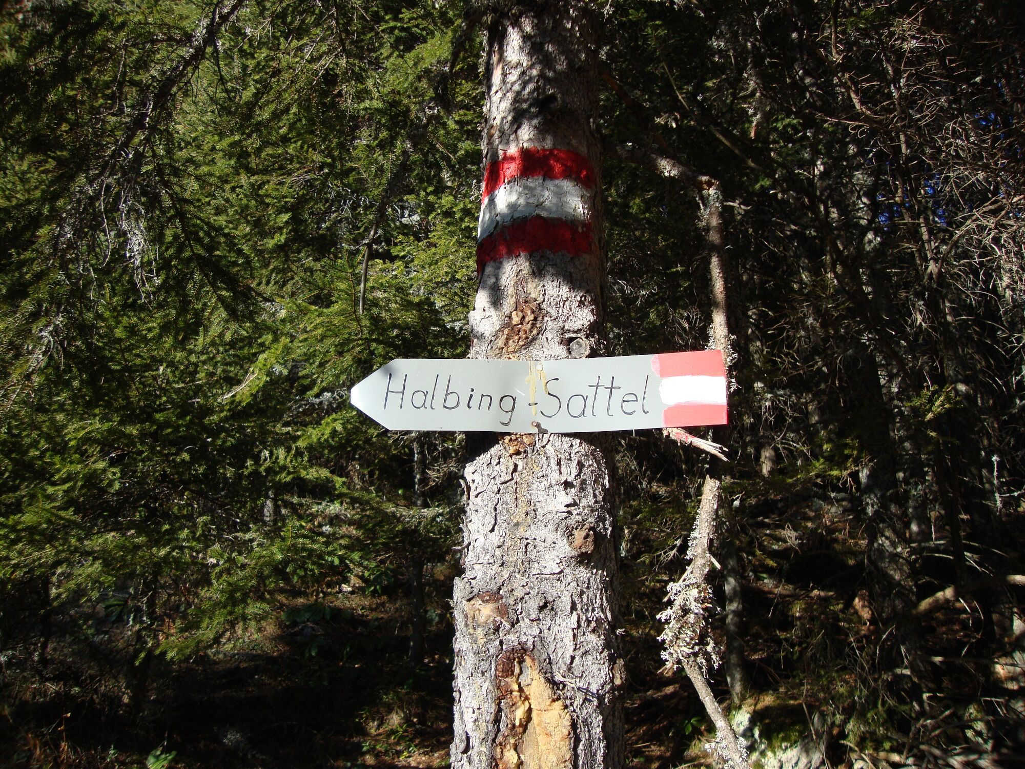


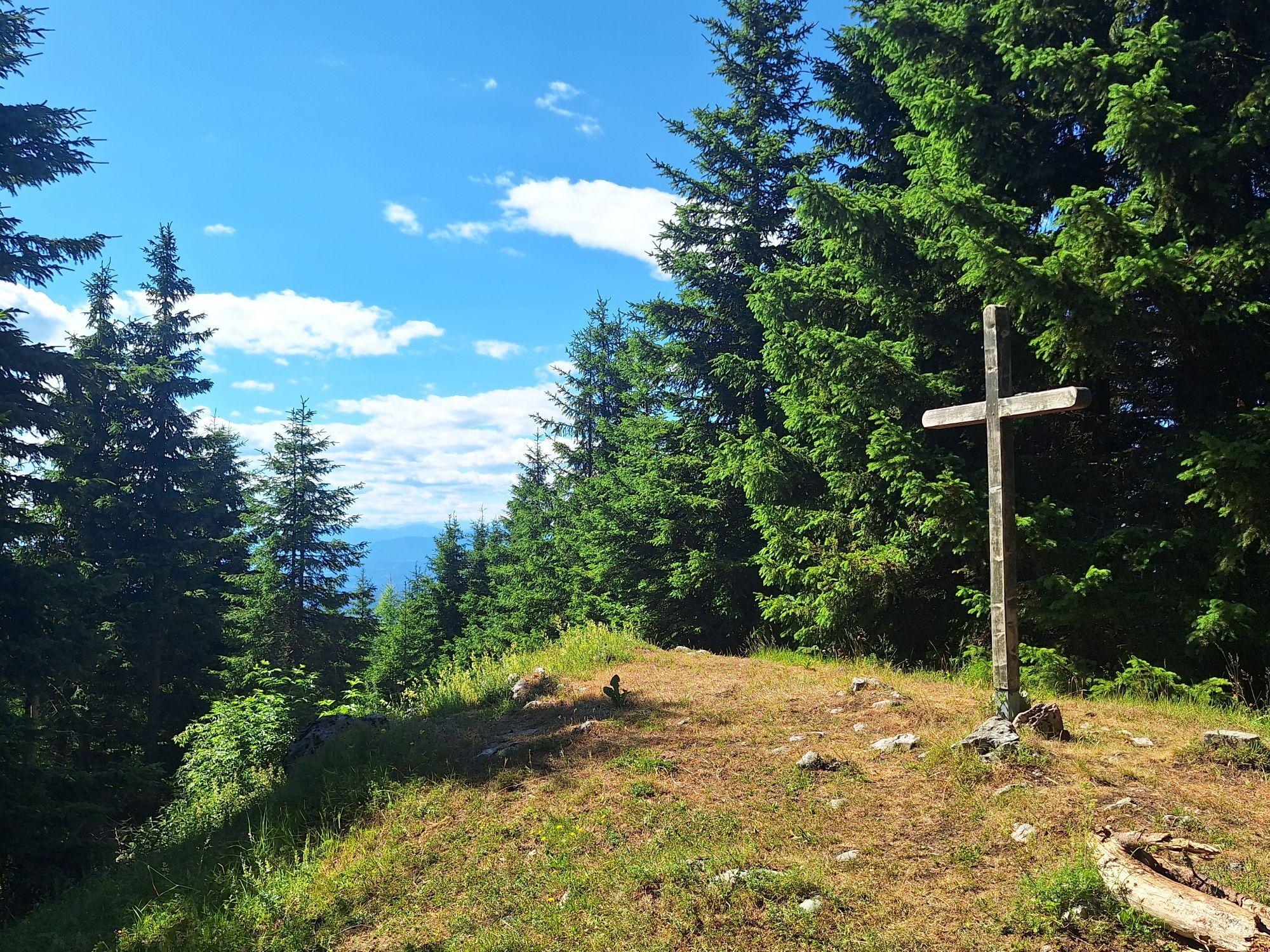
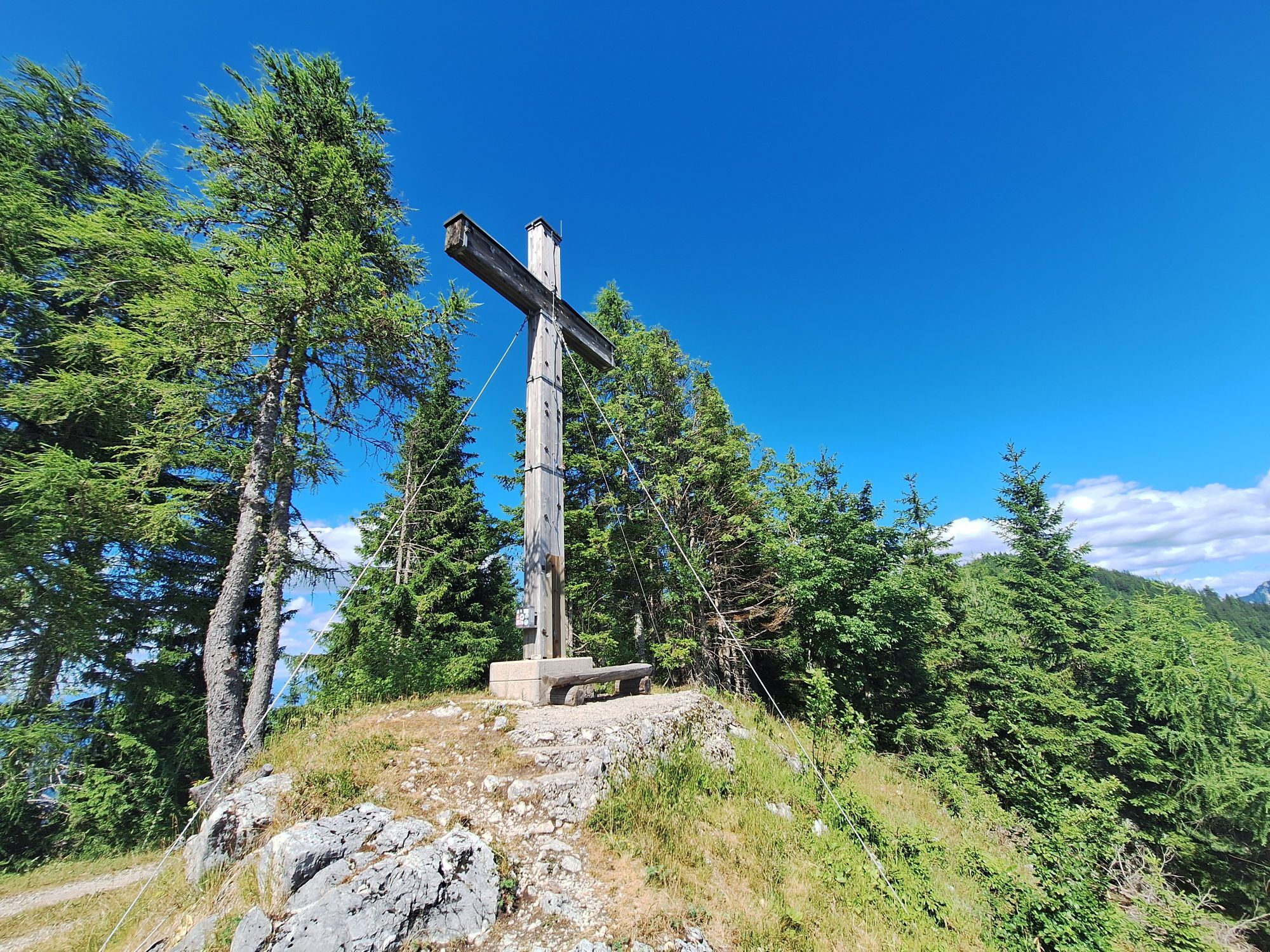
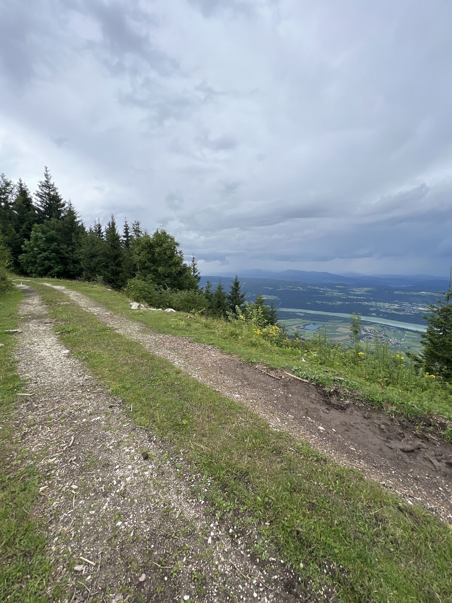
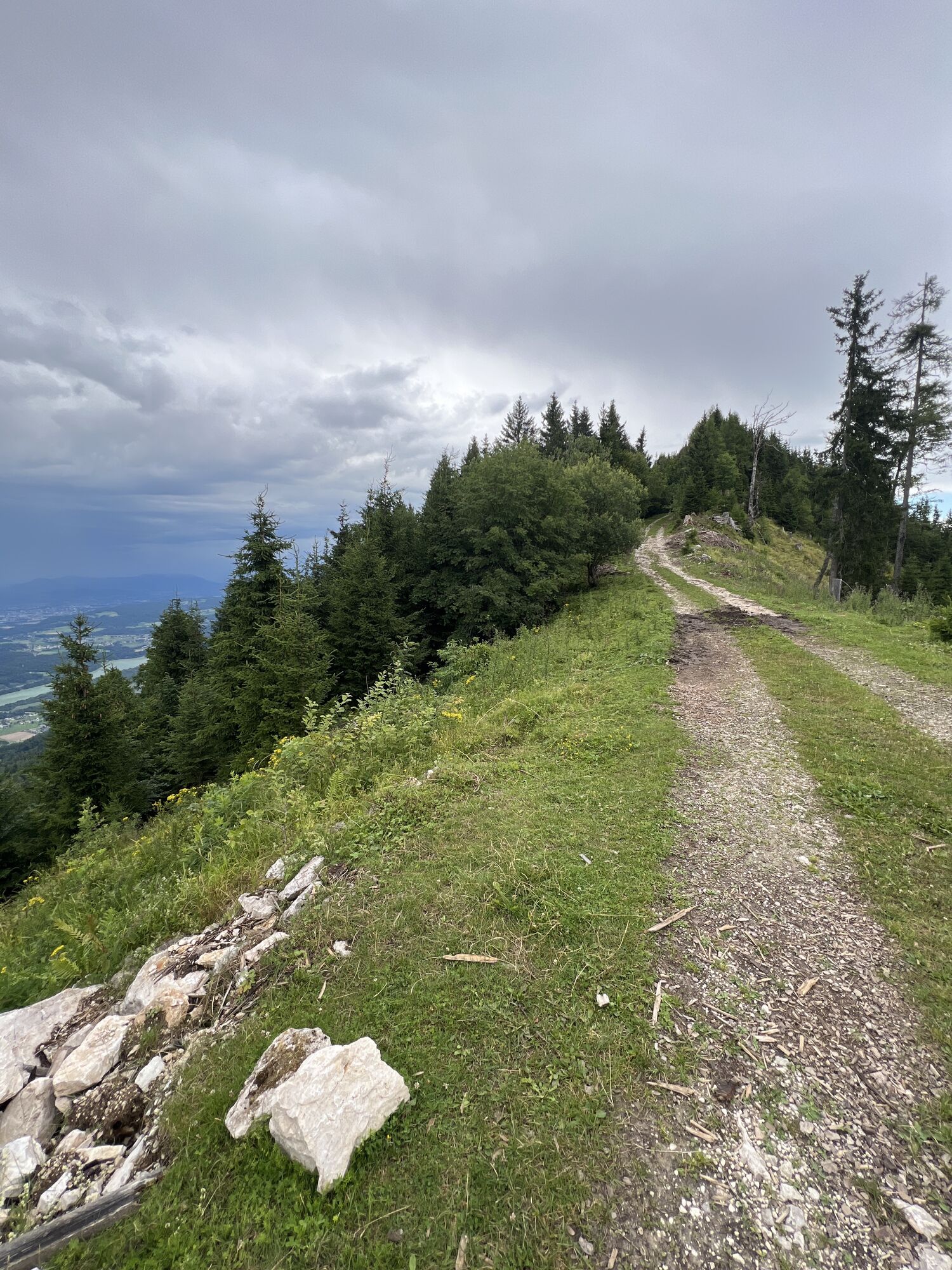
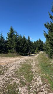
Return the same way as the ascent or alternatively bypass the "small Gupf" on the right (north side) along the forest road. Follow this past the hang gliders' take-off ramp to the "big" summit cross on the flat ridge of the Singerberg. Follow the forest road to the Halbingsattel, then turn left towards the south and follow the markings and the yellow hiking trail signs. Shortly before leaving the forest you will come across the path you already know from the ascent. Follow this down to the car park.
Sí
Sí
Sturdy shoes, possibly rainwear, camera, hiking sticks are an advantage, mobile phone
Coming from Klagenfurt via the B 91 Loiblpaßbundesstraße towards Bodental, parking lot directly in Windisch Bleiberg opposite the church.
e.g. by train from Klagenfurt to Ferlach and then by bus towards Bodental to Windisch Bleiberg.Please note: limited bus service during school holidays!
Parking directly in Windisch Bleiberg opposite the church
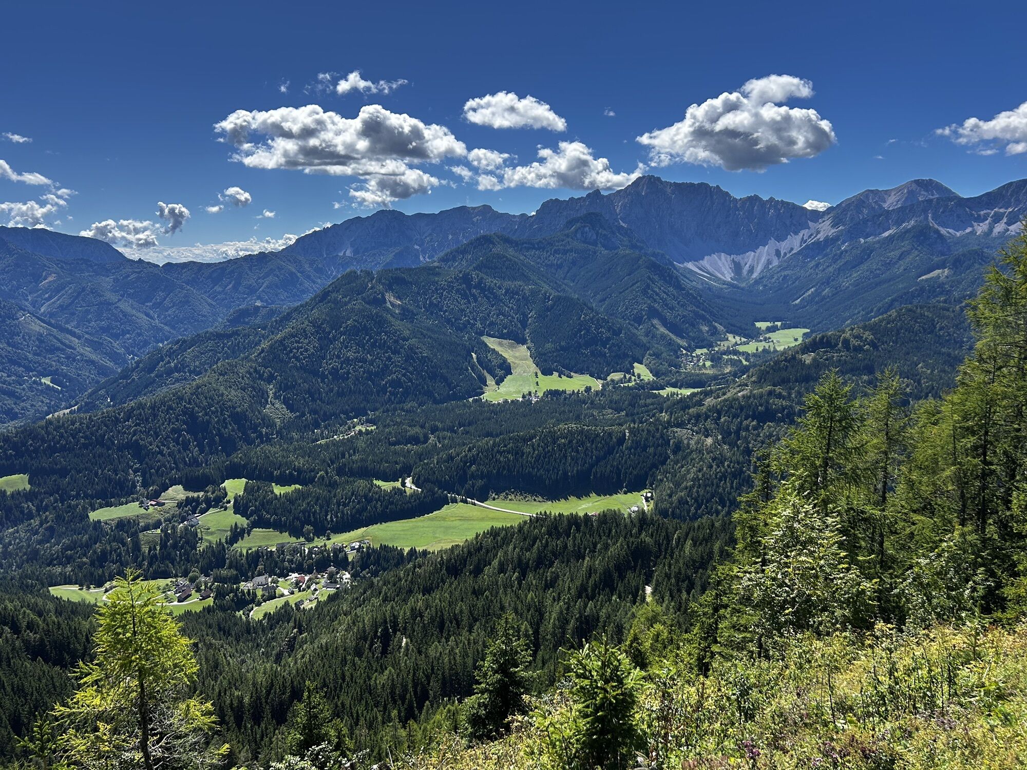
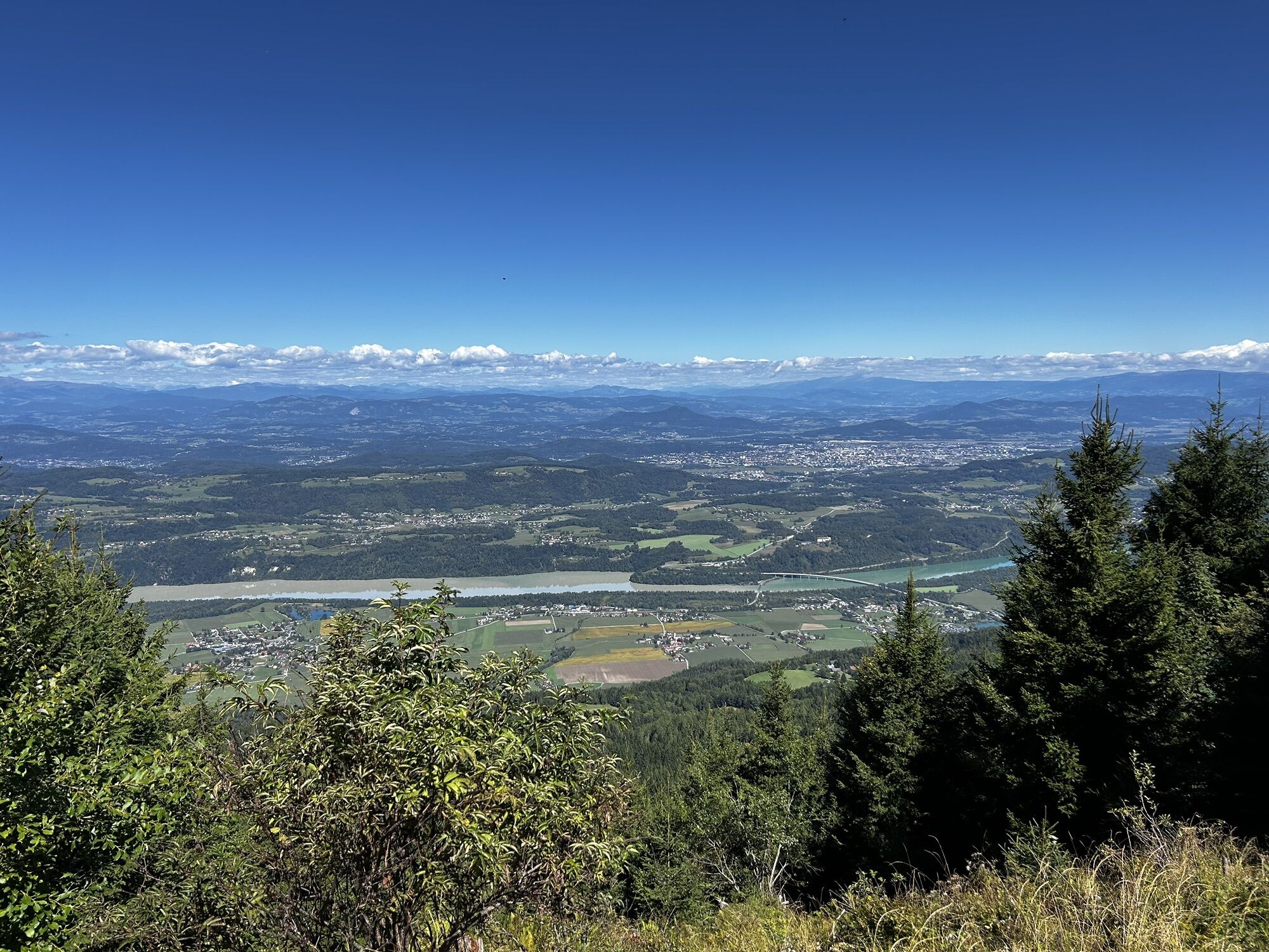
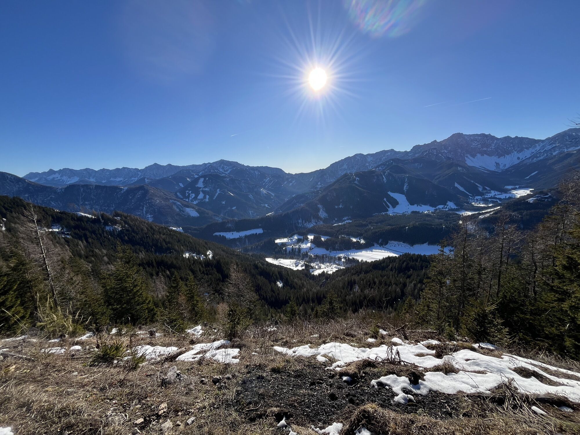
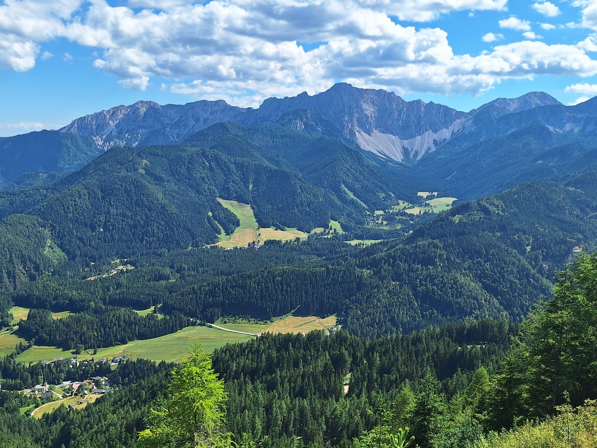
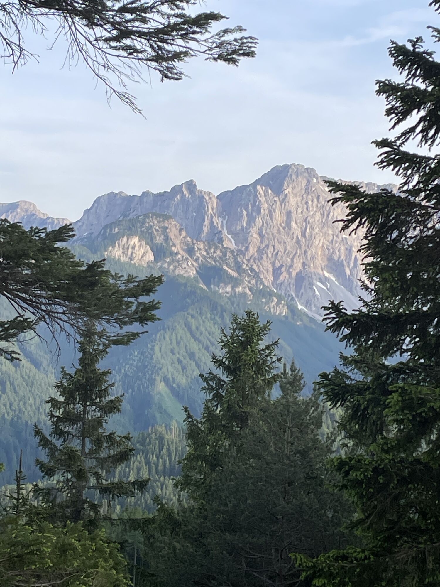
Beautiful views of the Karawanks and Klagenfurt and Lake Wörthersee
Actividades a lo largo del recorrido
-

Windisch Bleiberg, Kärnten/Österreich
17.06.2026 – Senderismo -
Windisch Bleiberg, Kärnten/Österreich
12.04.2026 – Senderismo -

Windisch Bleiberg, Kärnten/Österreich
06.04.2026 – Senderismo -

Ferlach, Kärnten/Österreich
29.03.2026 – Senderismo -
Windisch Bleiberg, Kärnten/Österreich
29.03.2026 – Senderismo -

Windisch Bleiberg, Kärnten/Österreich
20.03.2026 – Senderismo -
Windisch Bleiberg, Kärnten/Österreich
11.01.2026 – Senderismo -
Ferlach, Kärnten/Österreich
16.11.2025 – Senderismo -
Ferlach, Kärnten/Österreich
31.08.2025 – Senderismo
Rutas populares en los alrededores
-
3,9
Tscheppaschlucht Ferlach
luzSenderismo 5,90 km -
4,1
MTB-Tour zur Klagenfurter Hütte
medioMountainbike 12,6 km -
4,5
Camino Pyramidenkogel Maria Wörth
medioSenderismo 10,8 km -
4,5
Slow Trail Meerauge
luzSenderismo 5,25 km -
4,6
Sendero de experiencia acuática Hainschgraben
medioSenderismo 9,23 km -
4,4
Wörthersee ida y vuelta (Wörthersee - Keutschacher Seental)
medioCiclismo 48,2 km -
4,3
Desde Bärental al Kosiak (cabaña Klagenfurter)
medioSenderismo 9,67 km -
4,7
Zillhöhe
medioRunning 7,94 km -
4,7
Ogrisalm ab Bodenbauer, Kärnten/Österreich
luzEsquí de travesía 11,2 km -
4,1
A través de la garganta Tscheppaschlucht hasta Bodental
medioSenderismo 10,6 km
Senderismo y rastreo


No se pierda las ofertas y la inspiración para sus próximas vacaciones
Su dirección de correo electrónico se ha añadido a la lista de correo.