






Erzberg Mountain Trail: Schwandnock - Hachelnock

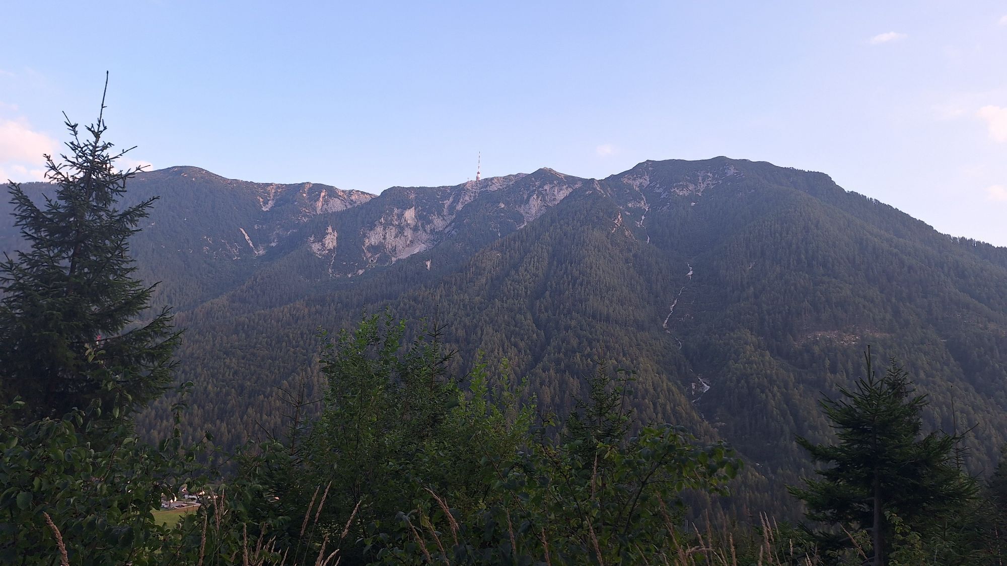
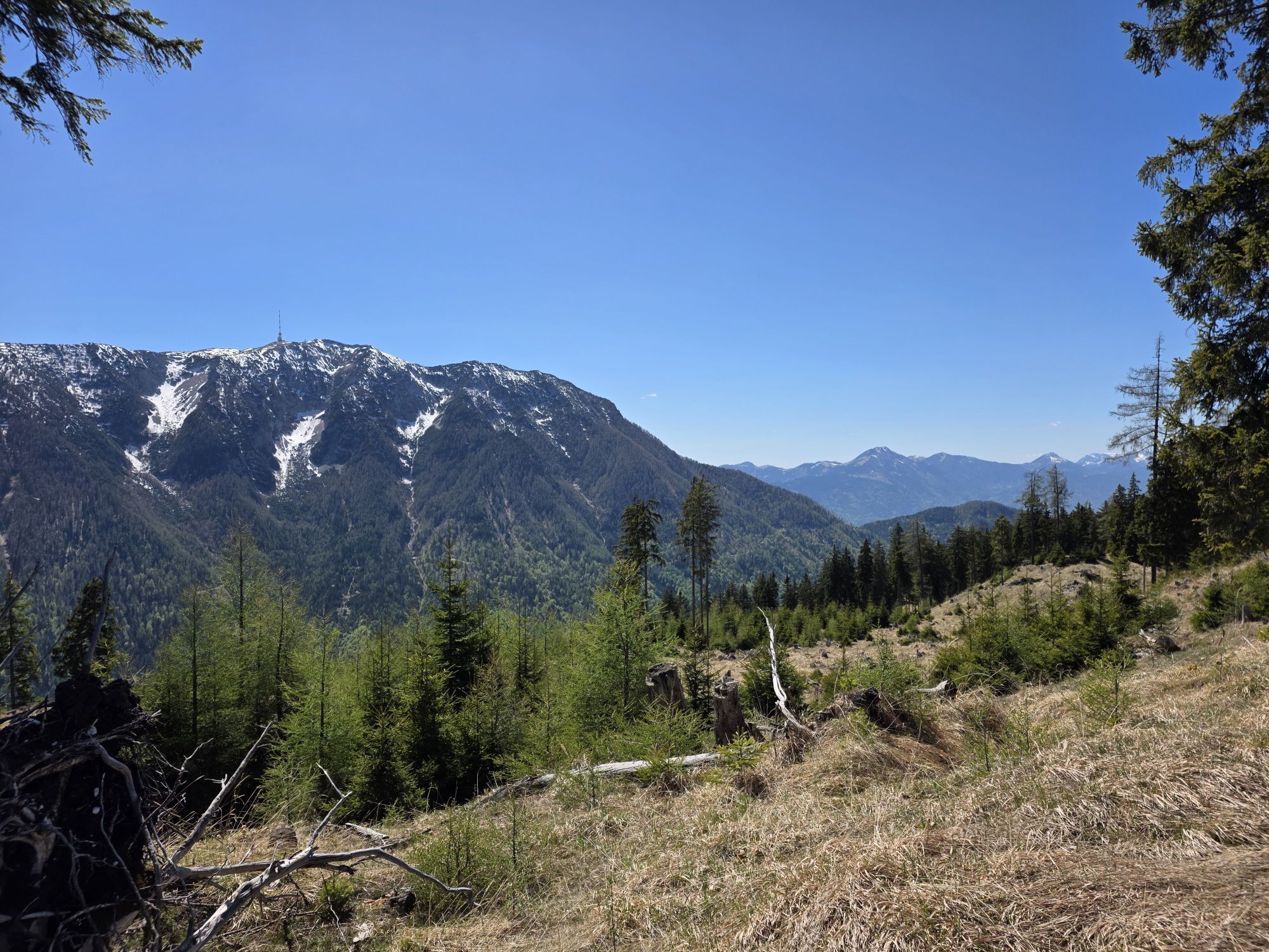
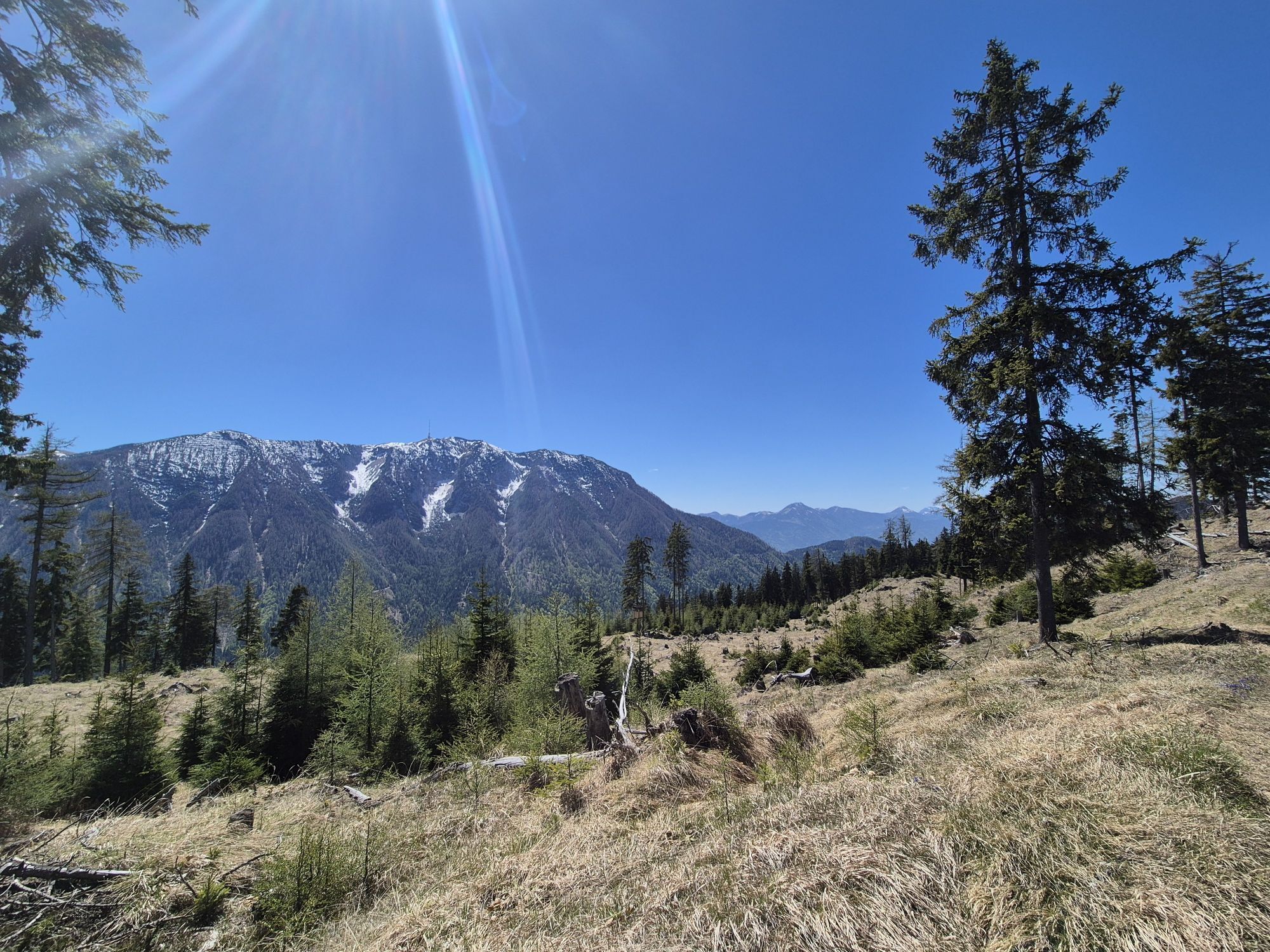
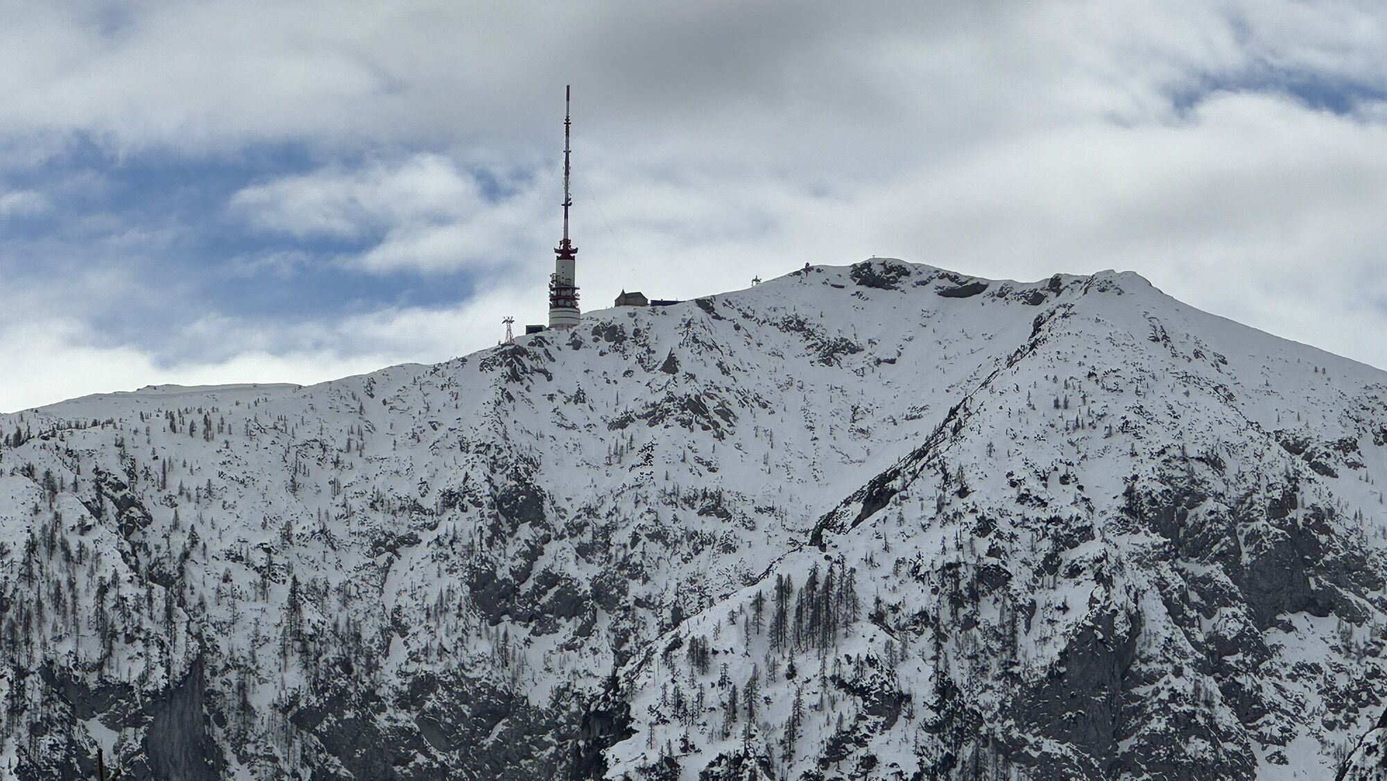
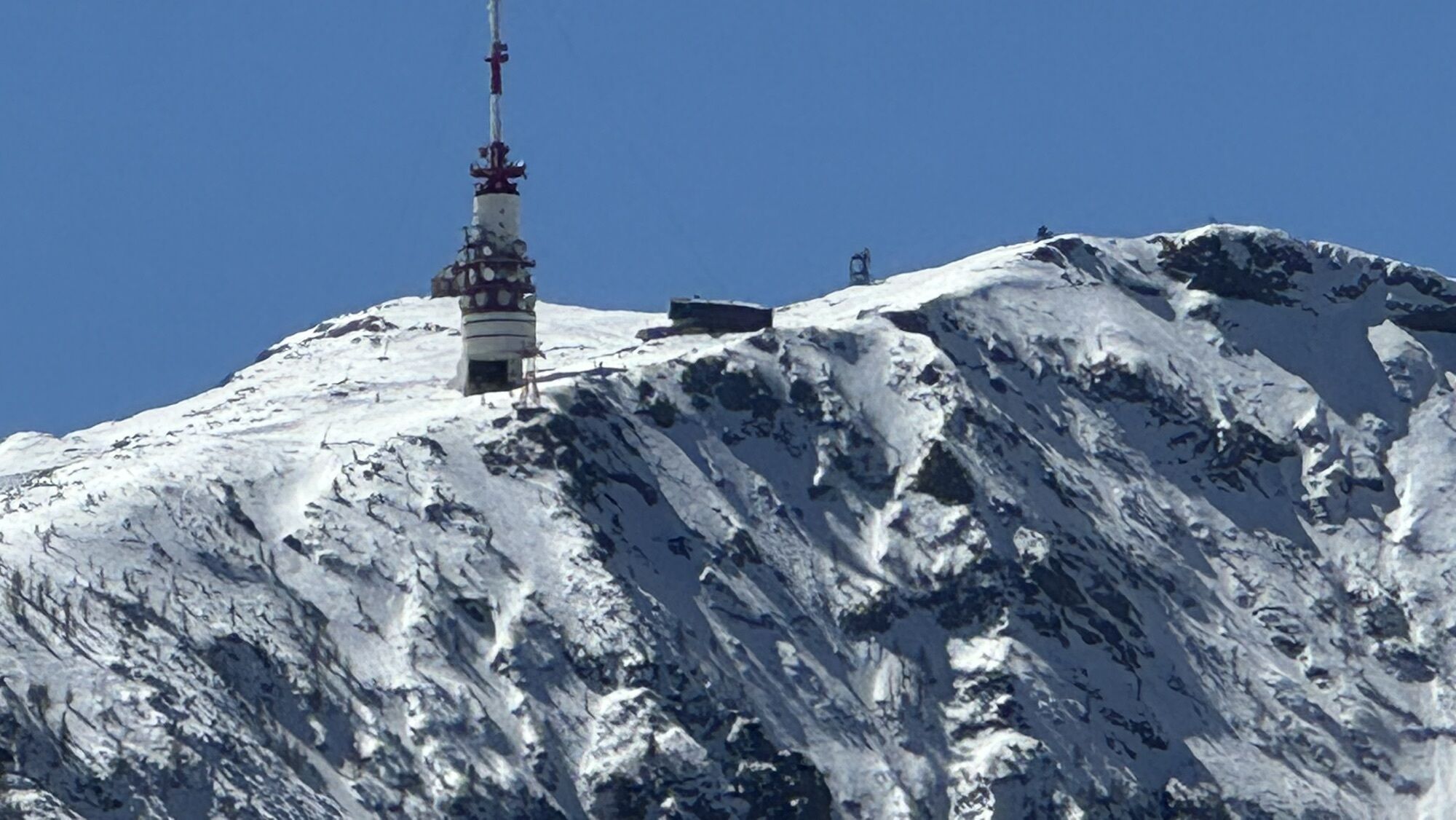
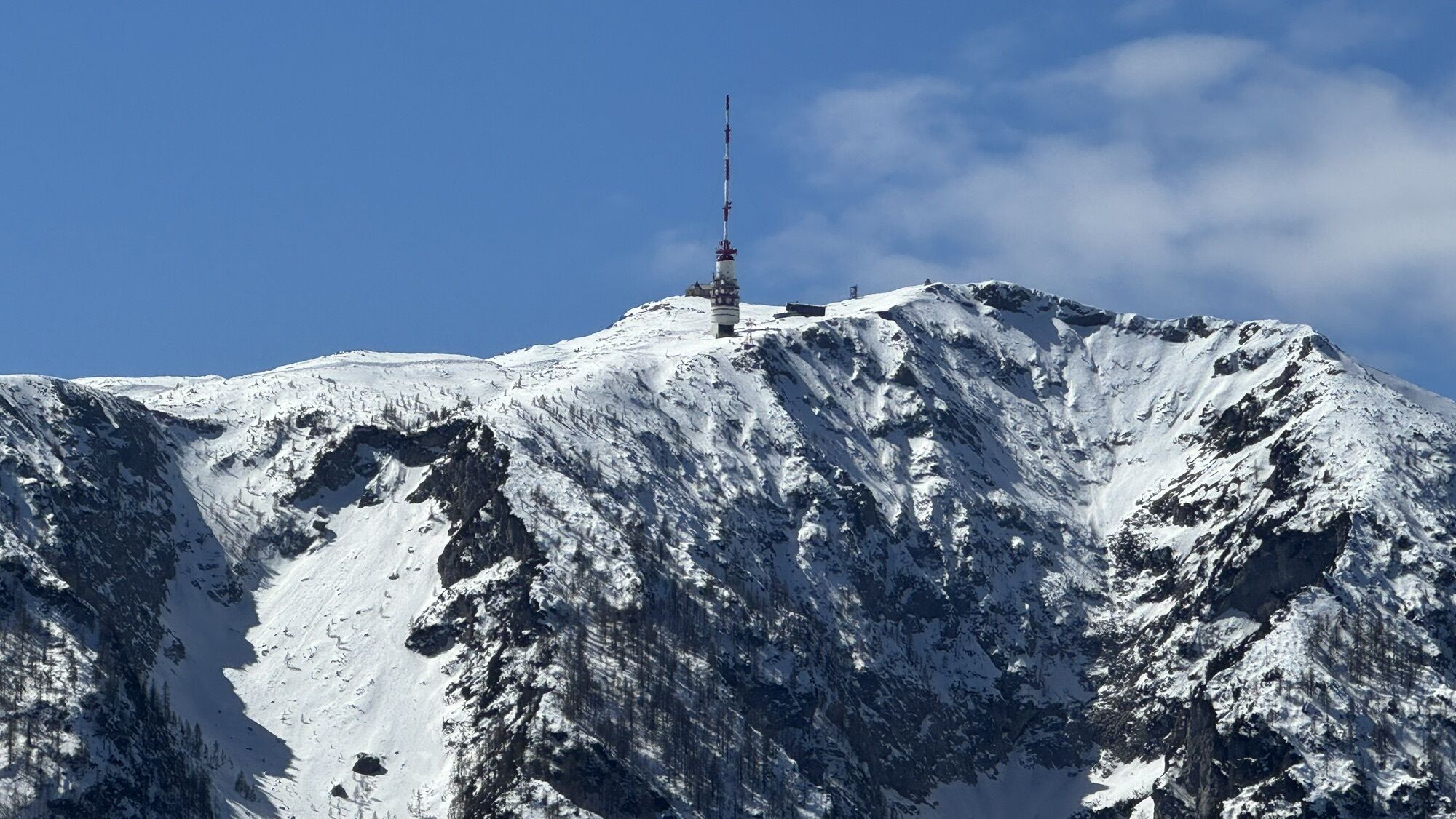
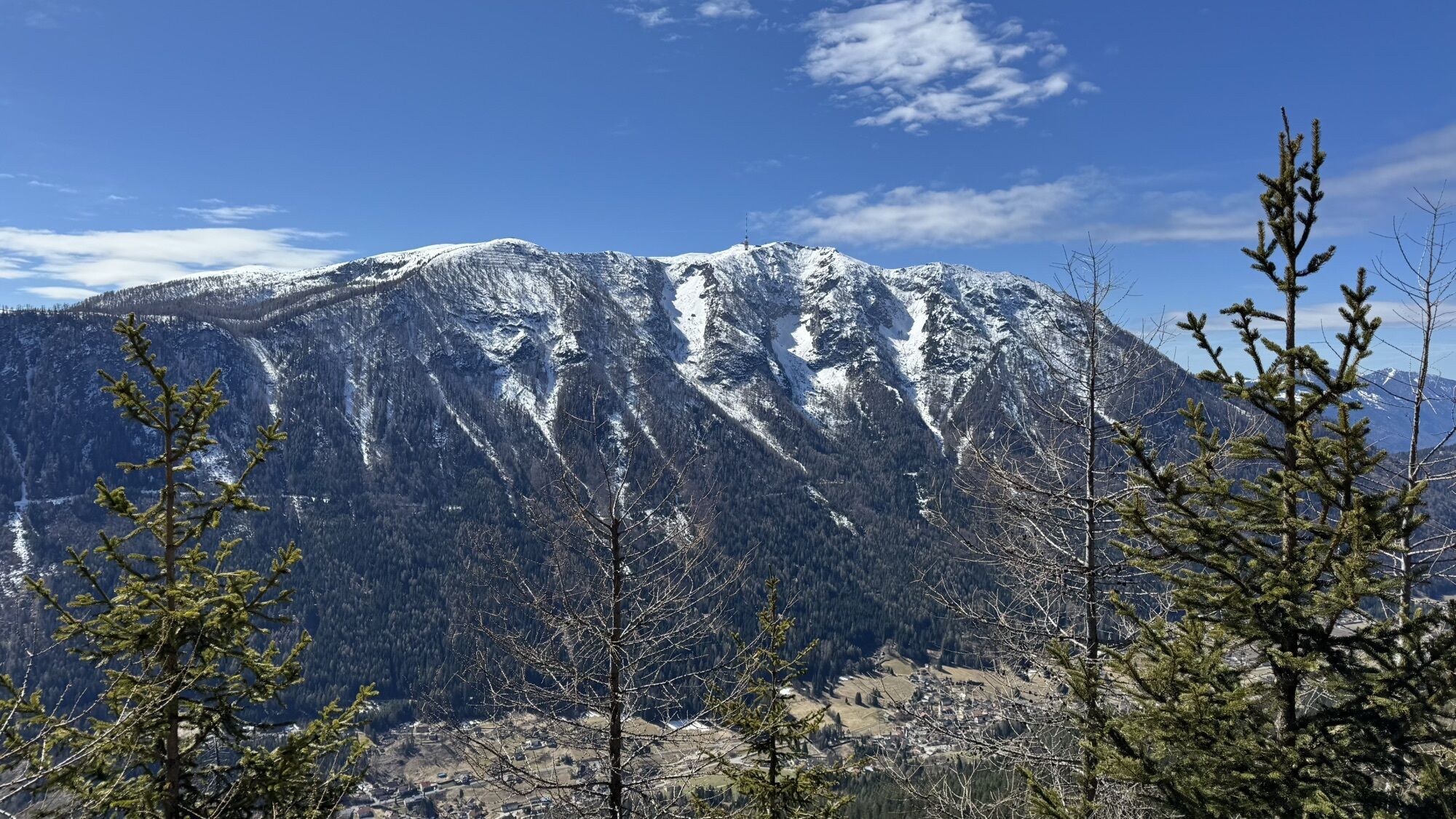
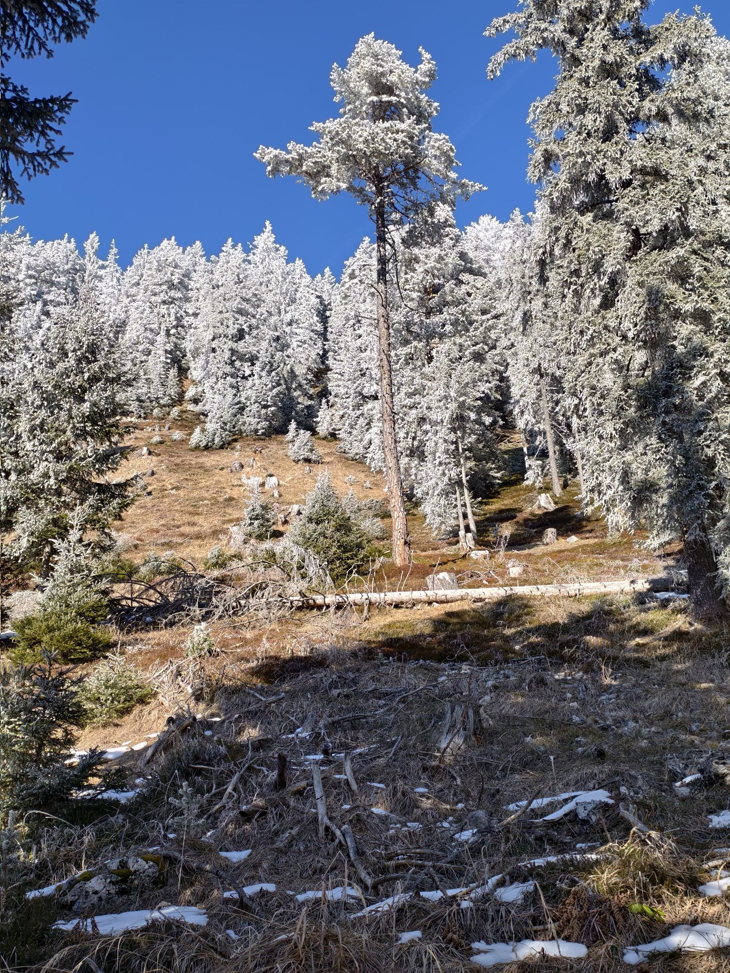
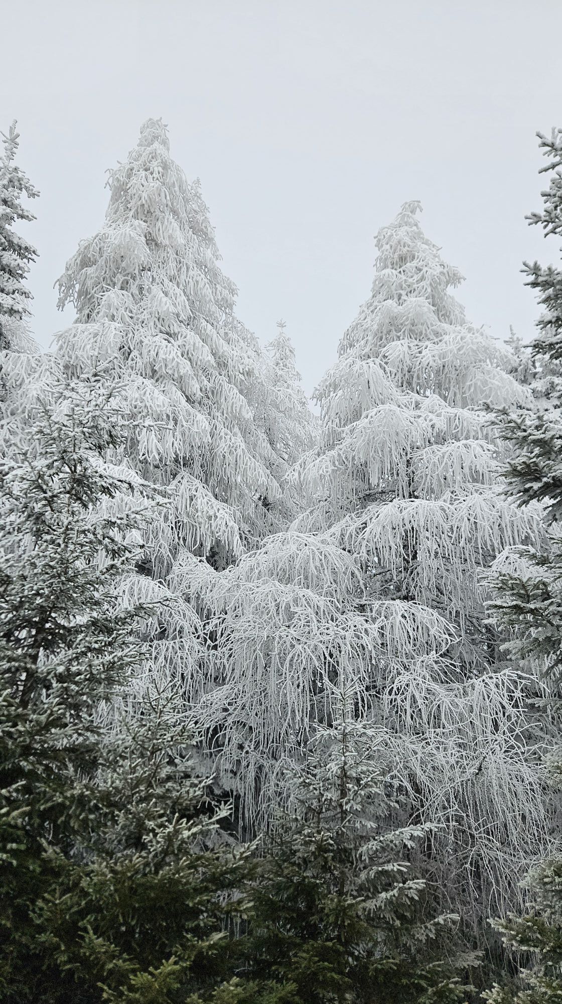
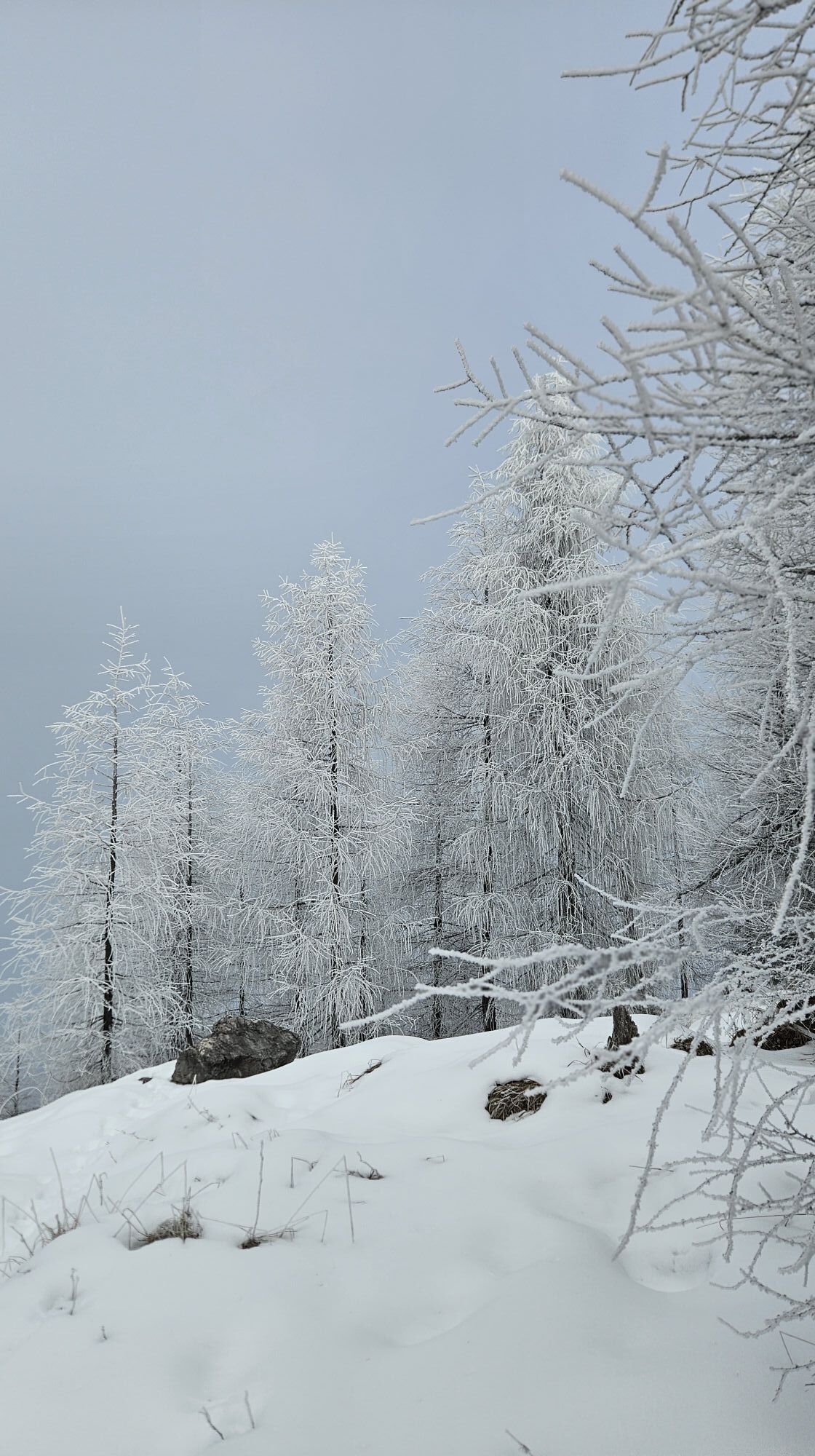
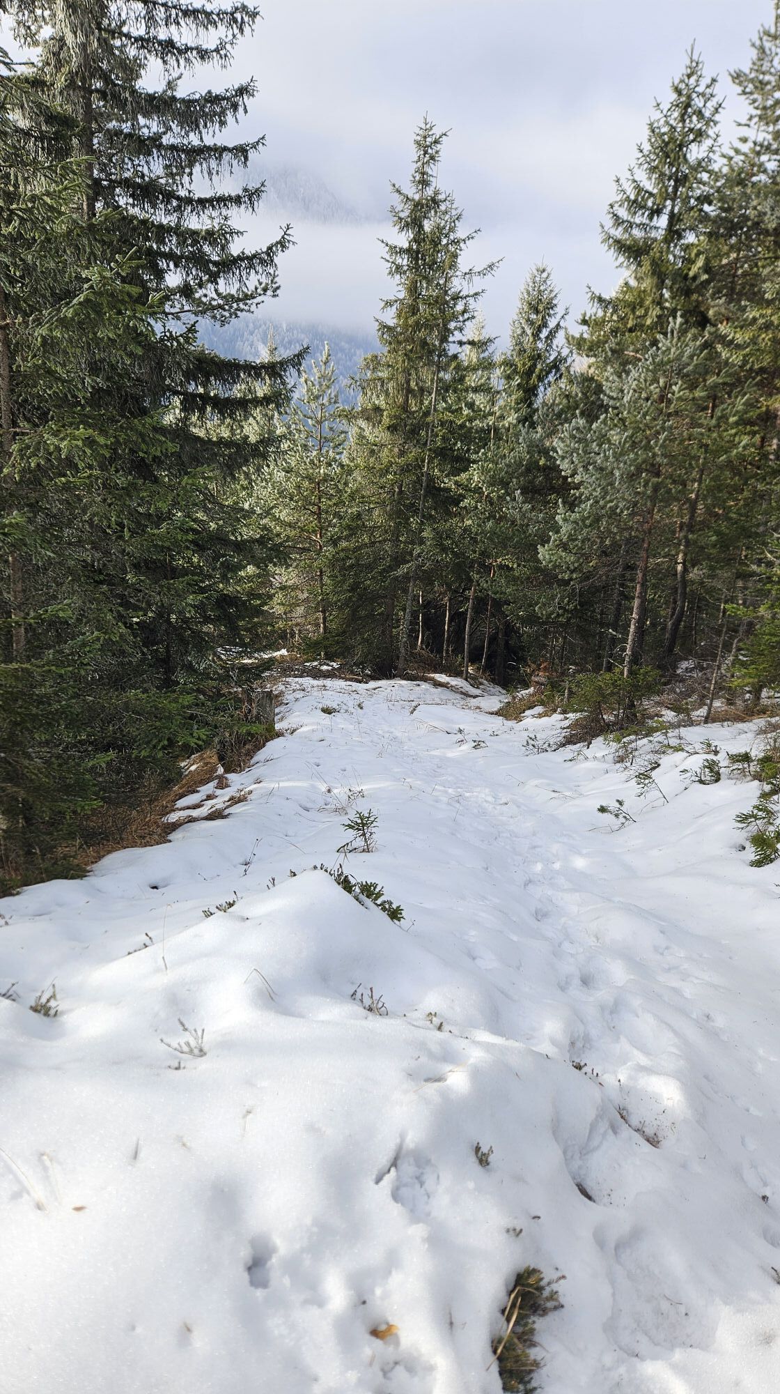


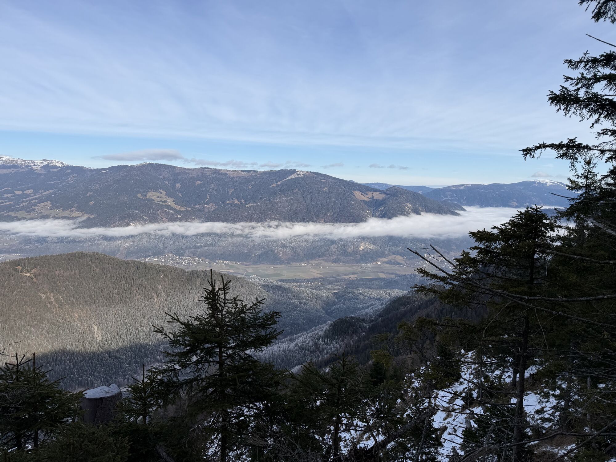
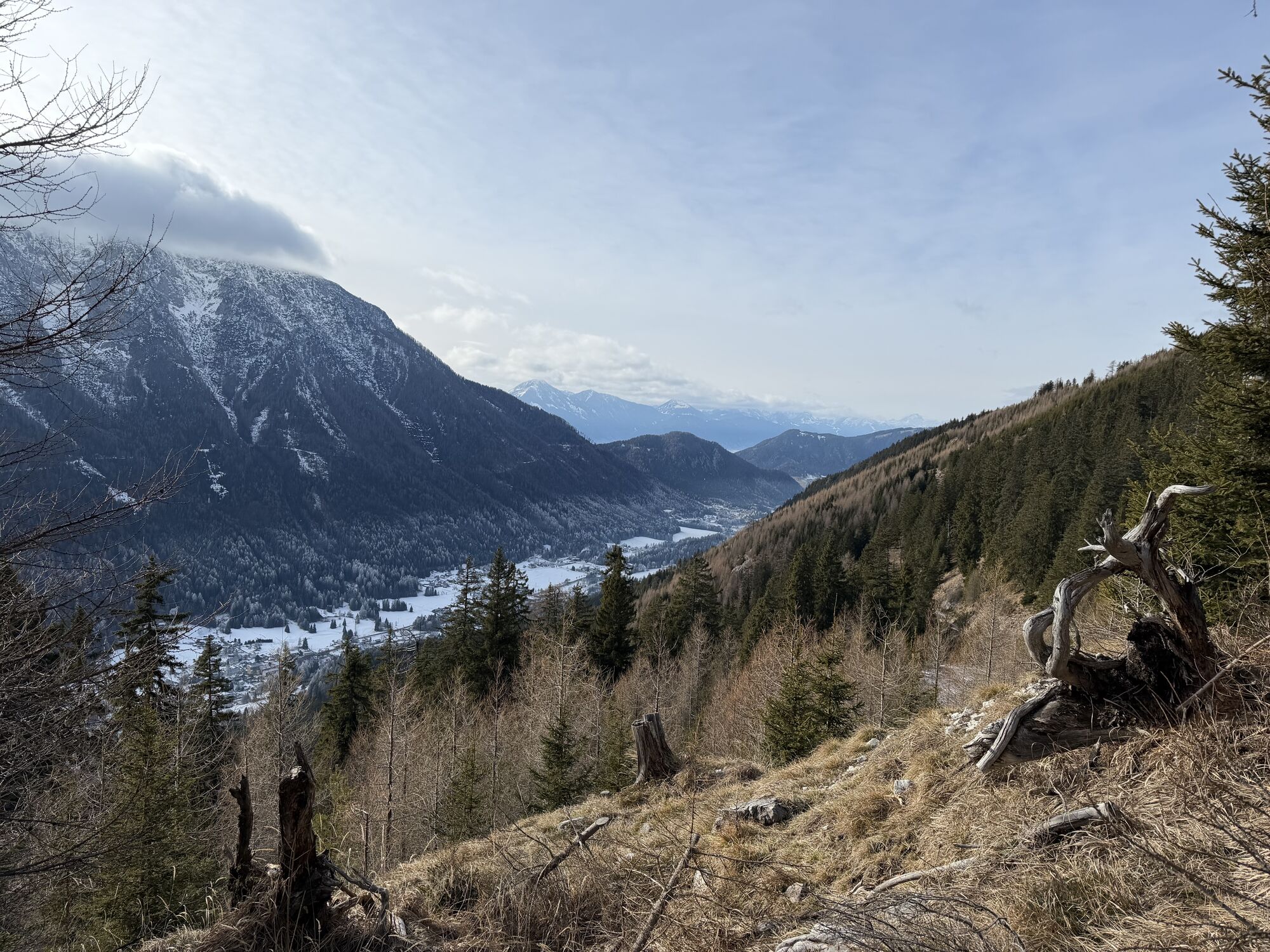


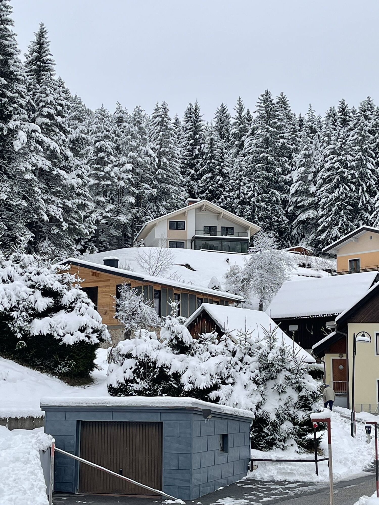

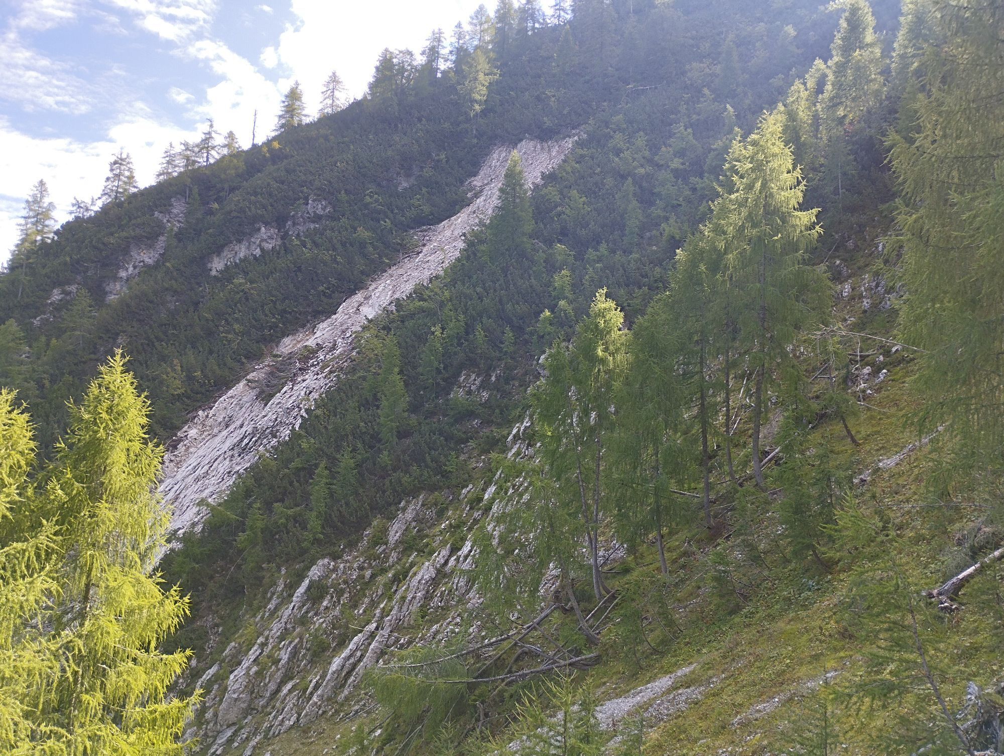
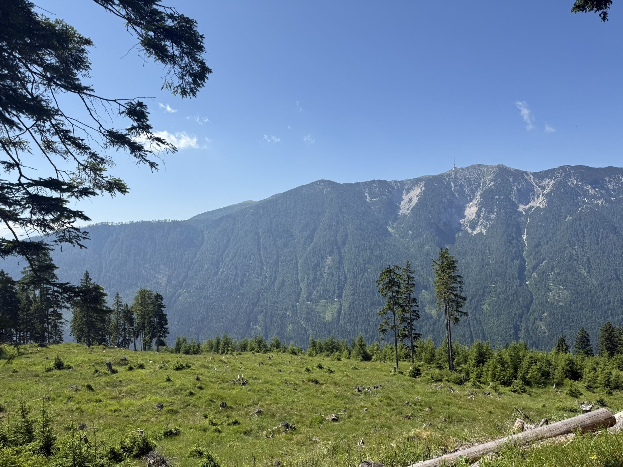
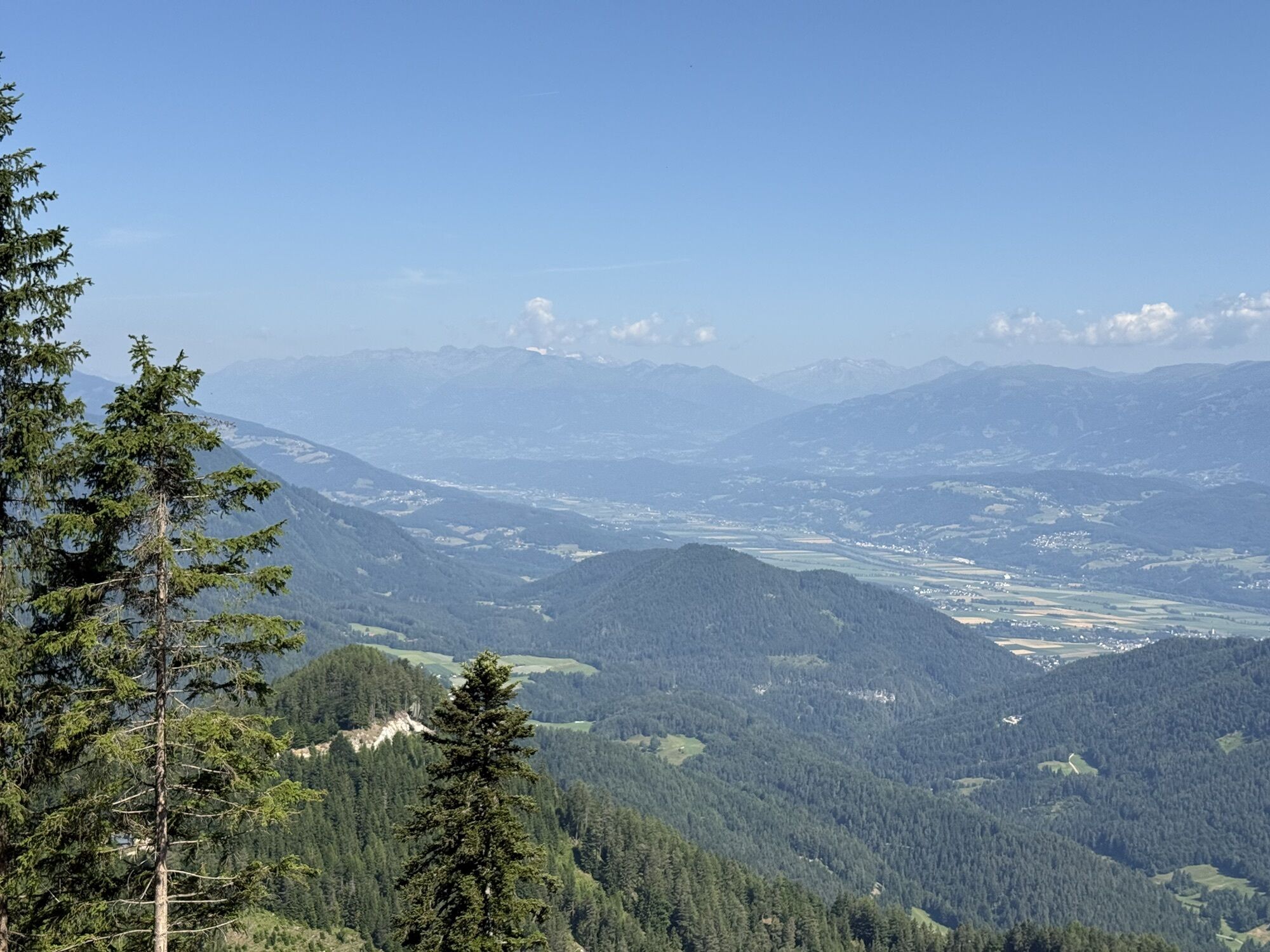
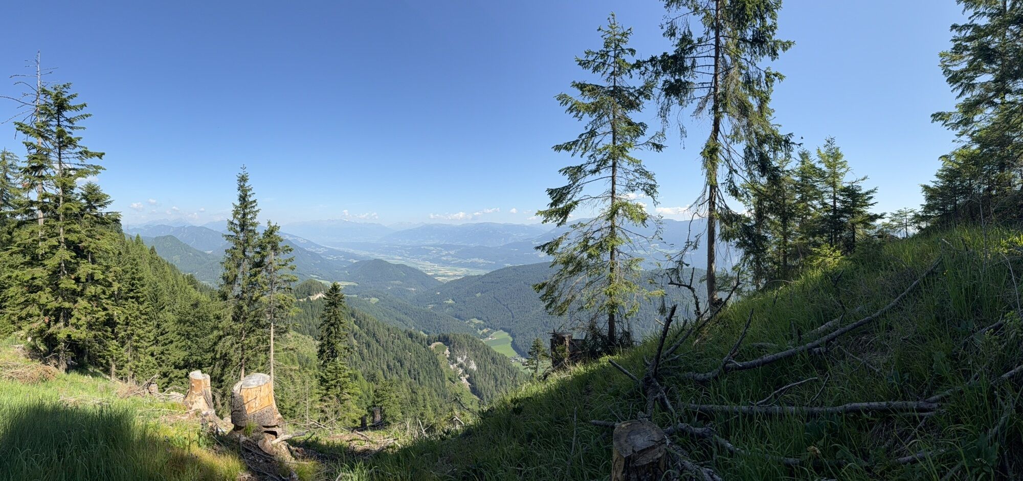
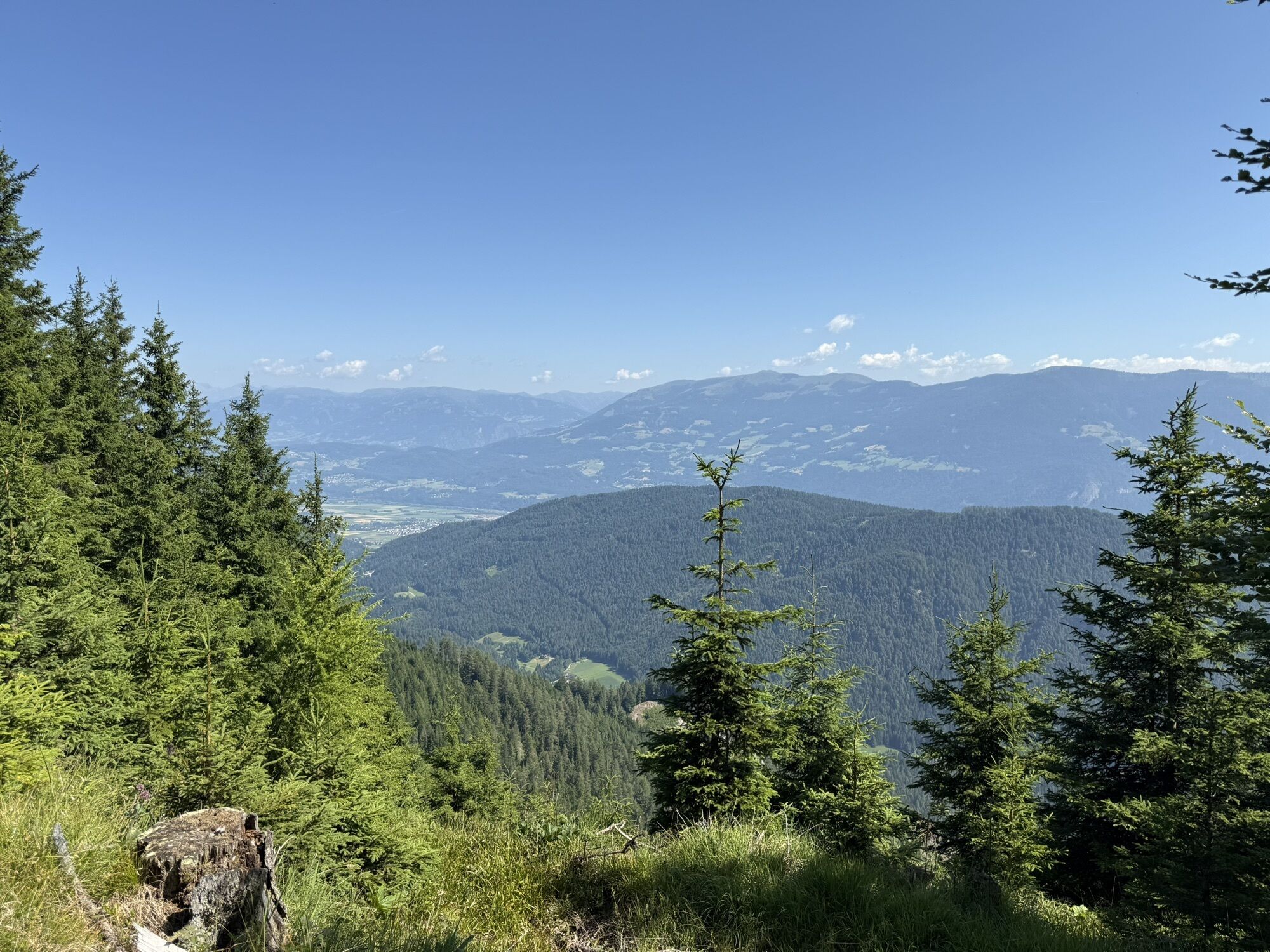


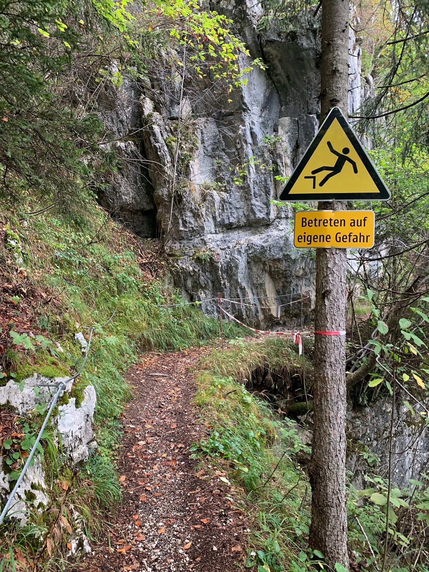
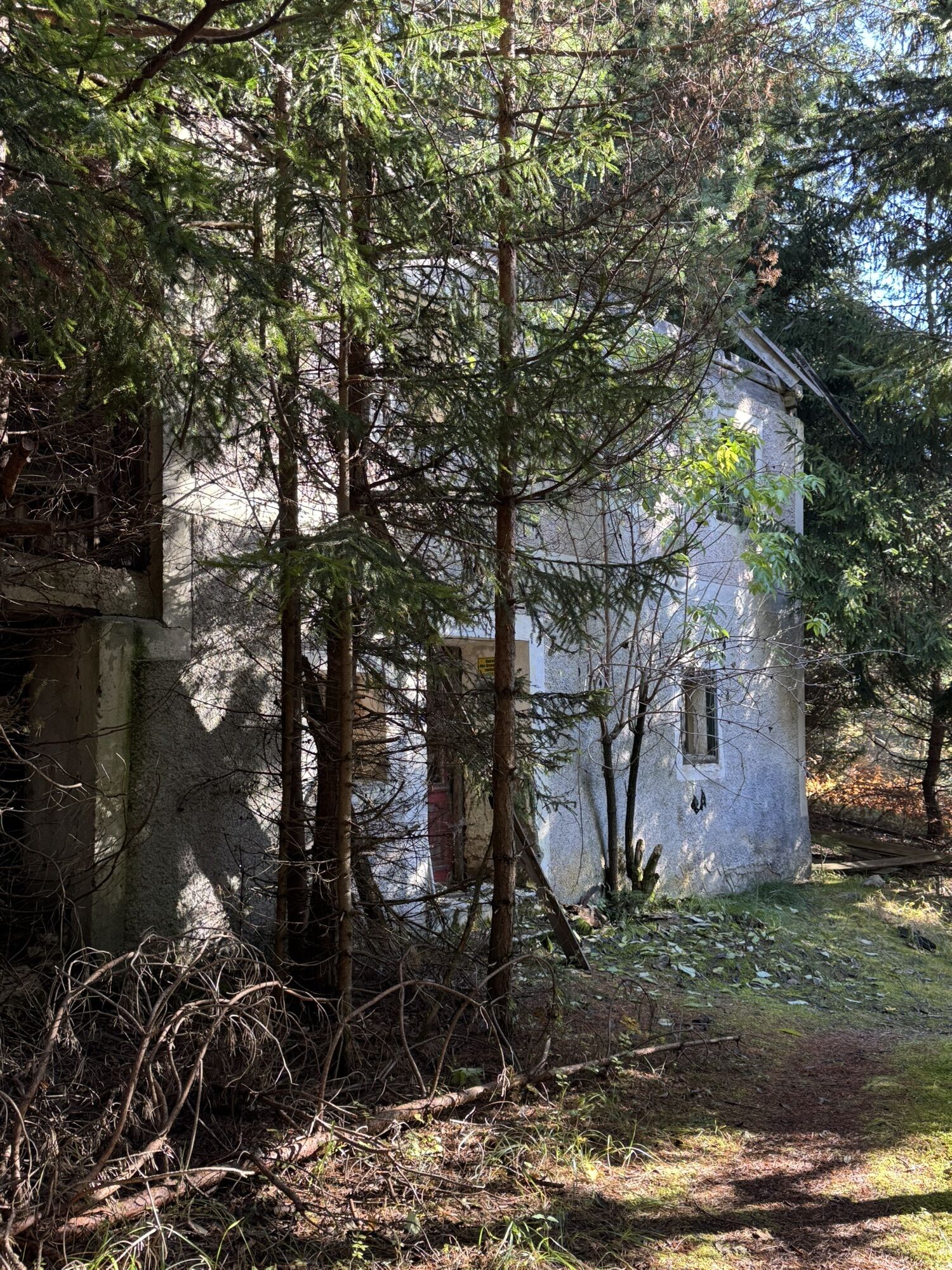
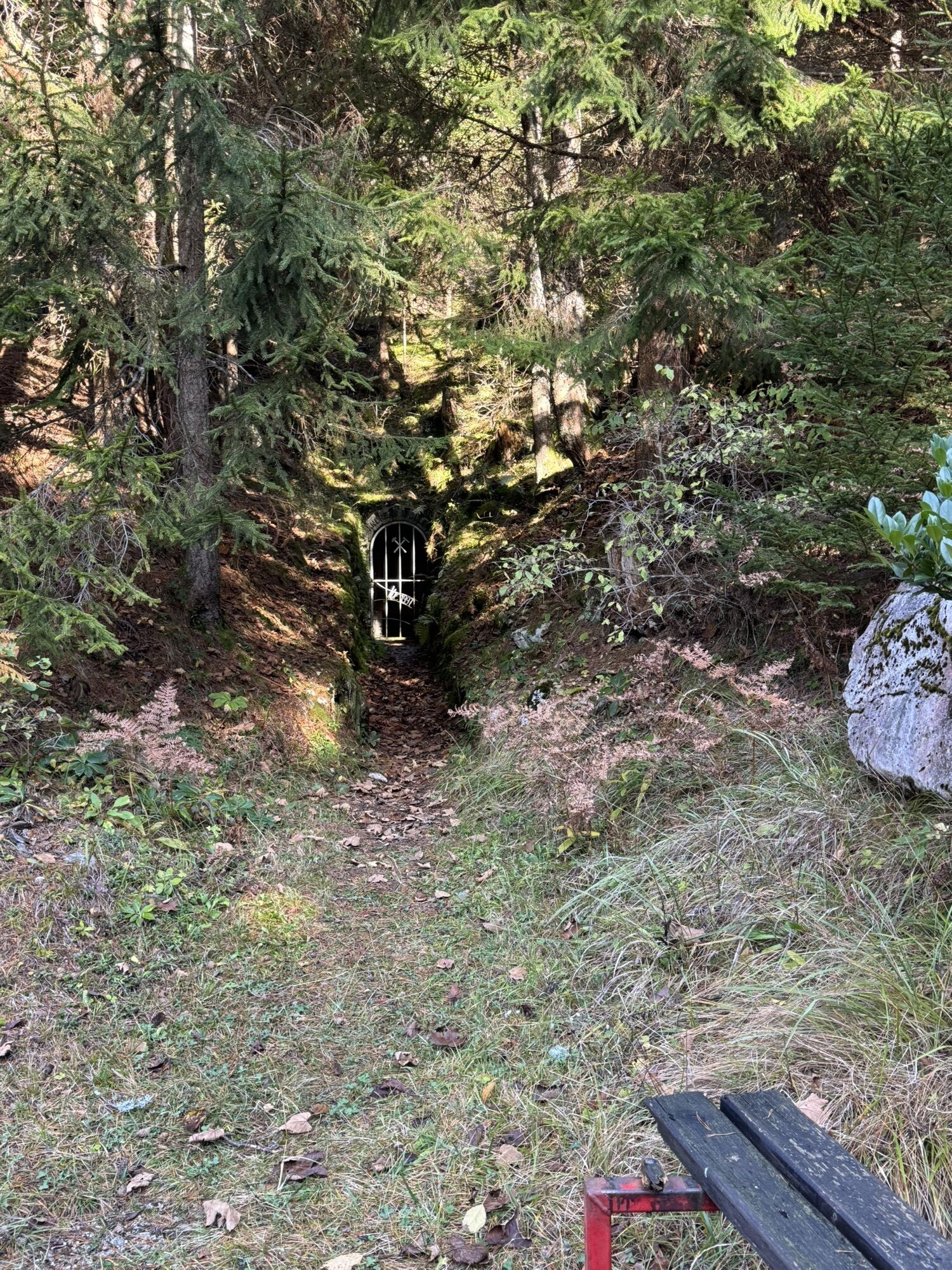
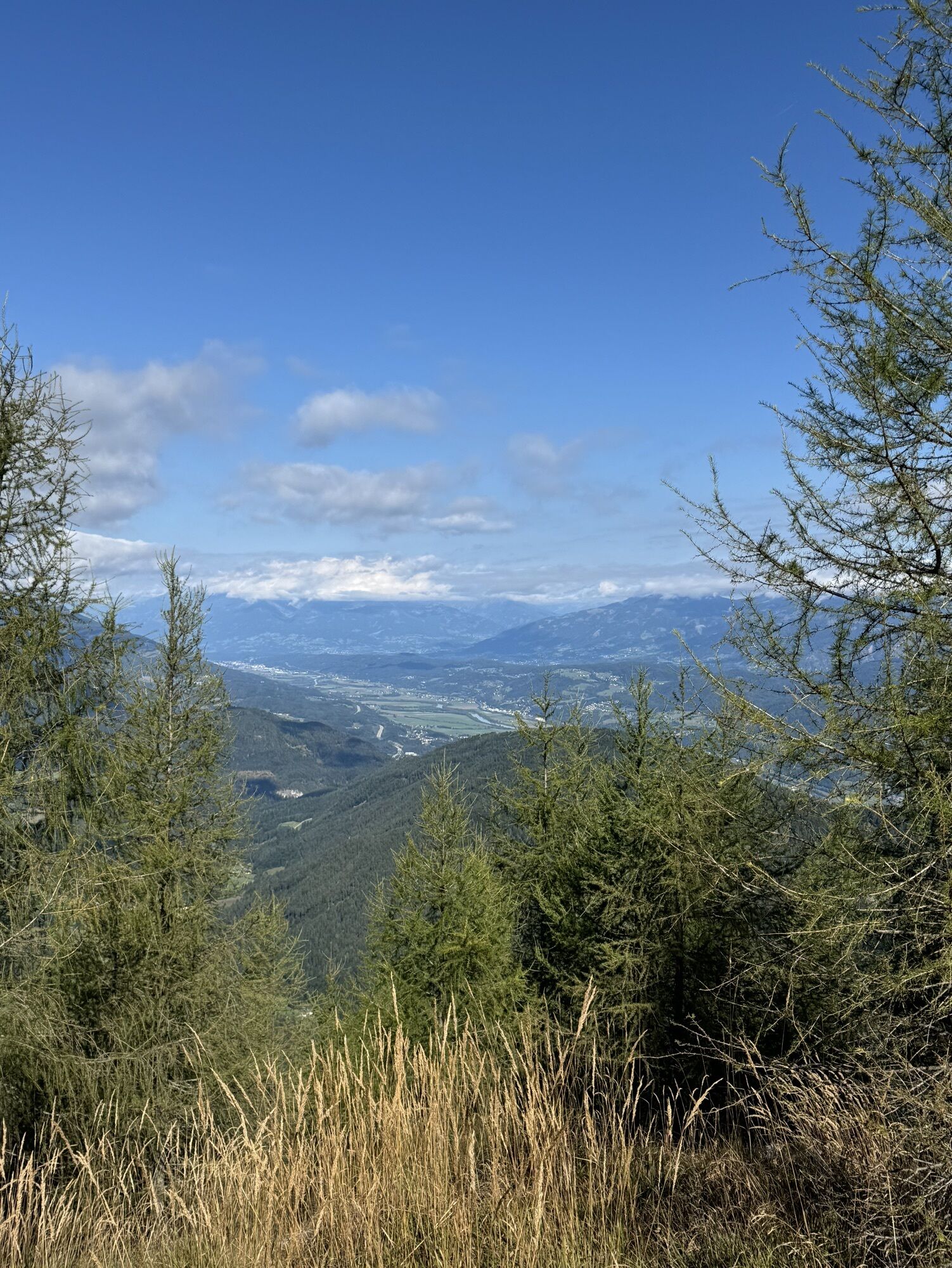
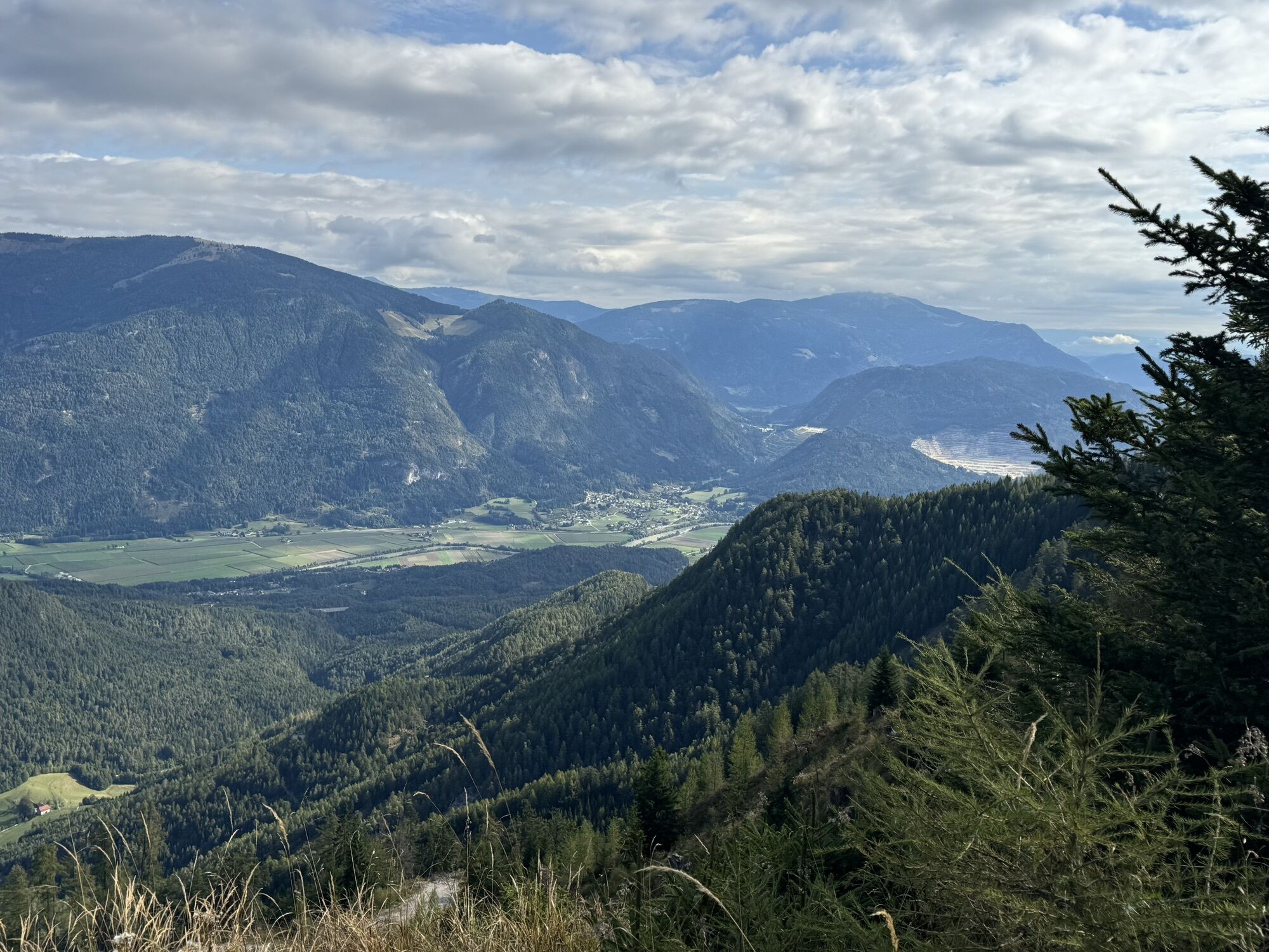
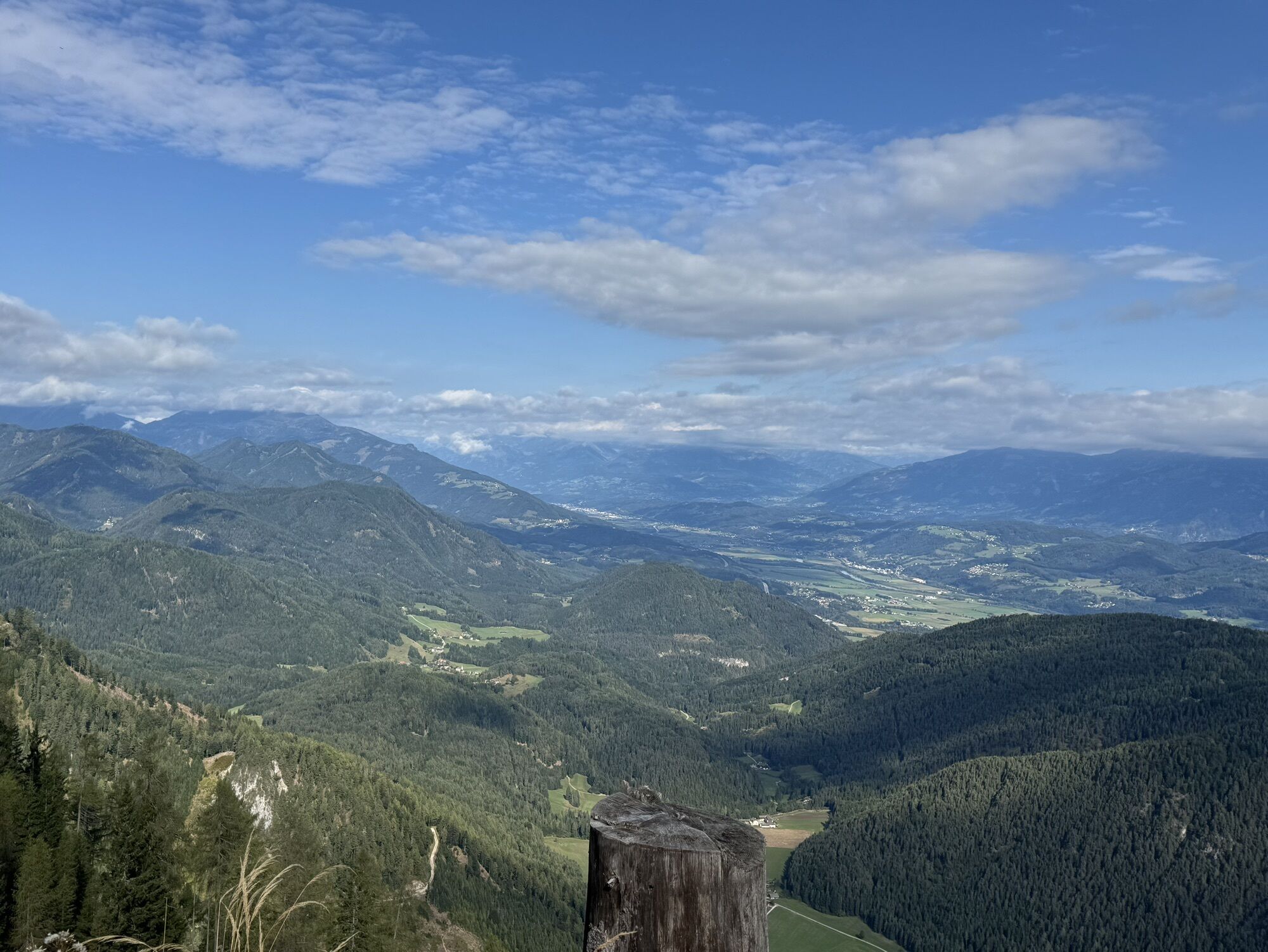
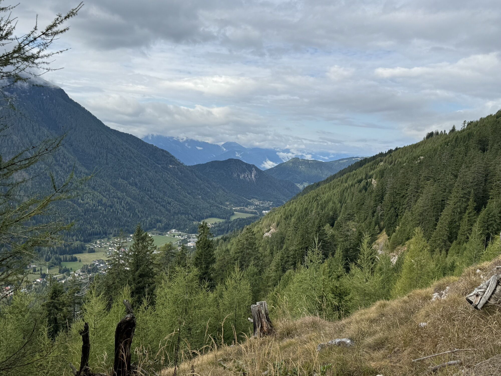
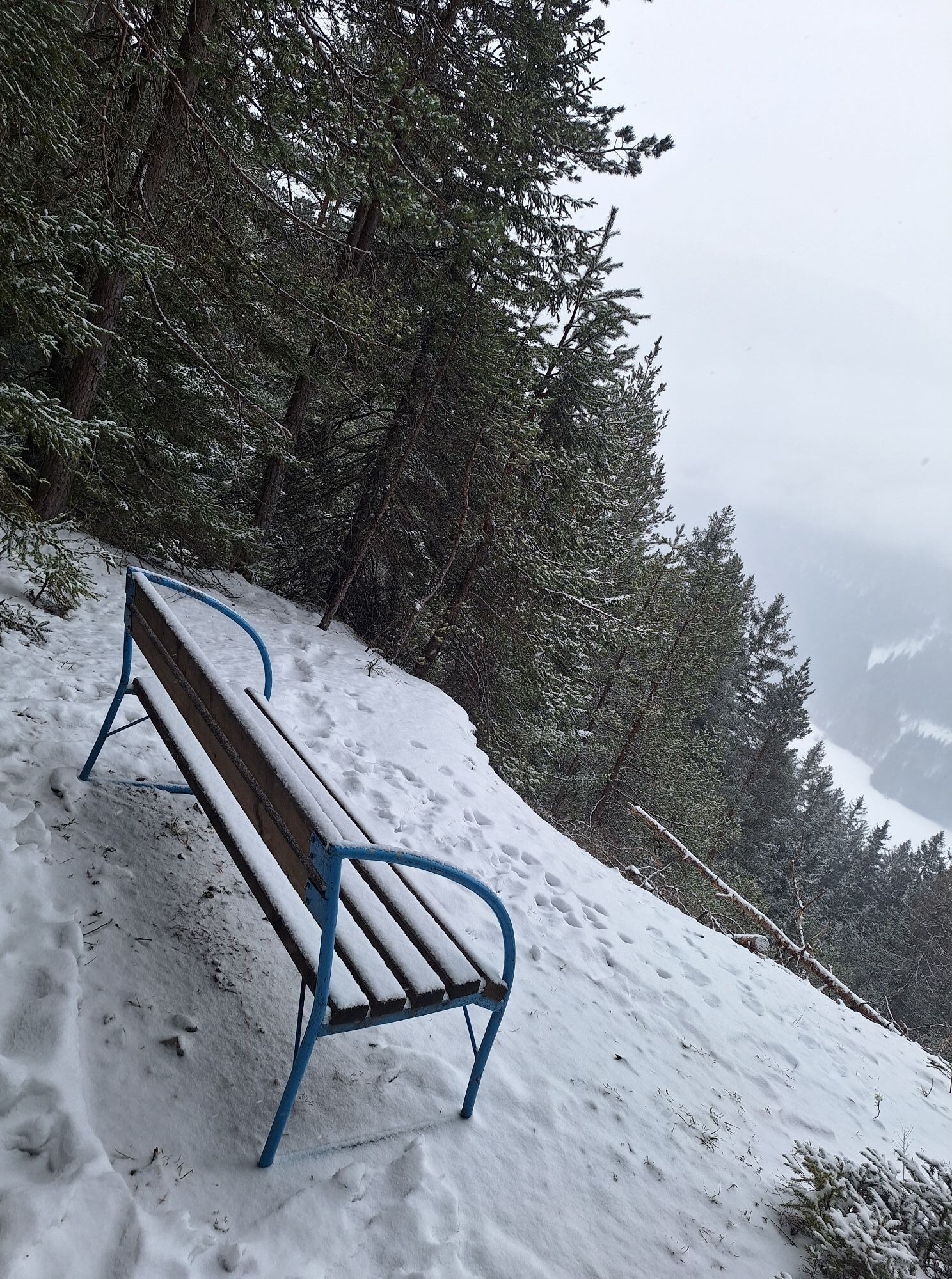
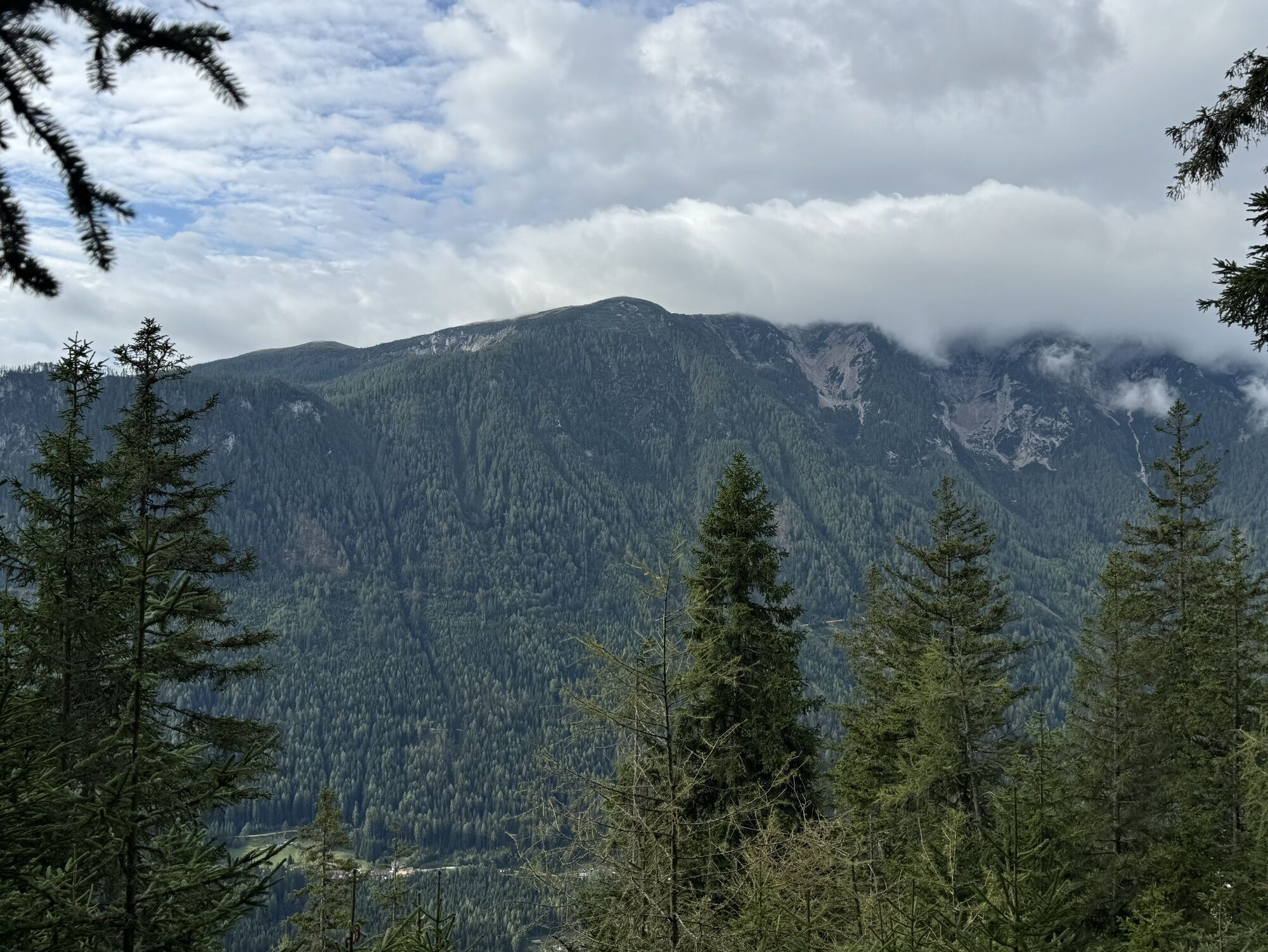
The circular route consists of well-marked and technically simple paths of the Austrian Alpine Association.


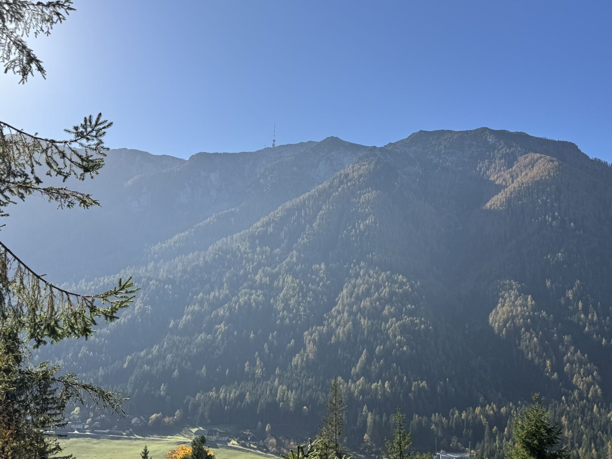
From the car park in front of the tourist information office, follow the road to the Kurzentrum Bad Bleiberg. At the level of the Kurzentrum, follow the way to the east until you get to the junction of the paths 15A & 288. Take the path no. 288 to the 1,517 m high Schwandnock which is also the highest point of the tour until you reach the Erzberger Höhenweg (trail no. 288A) and follow the course of the path to the west and you will get to the Lahnernock and the Hachelnock (1442 m),
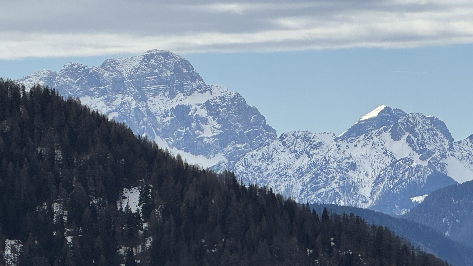
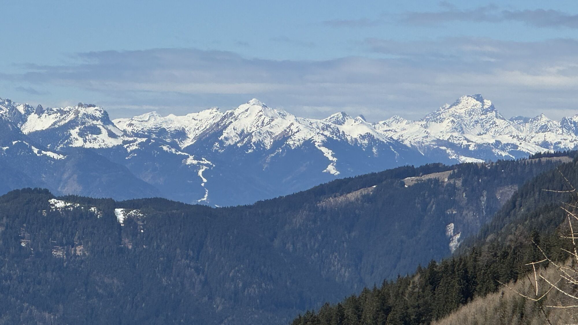
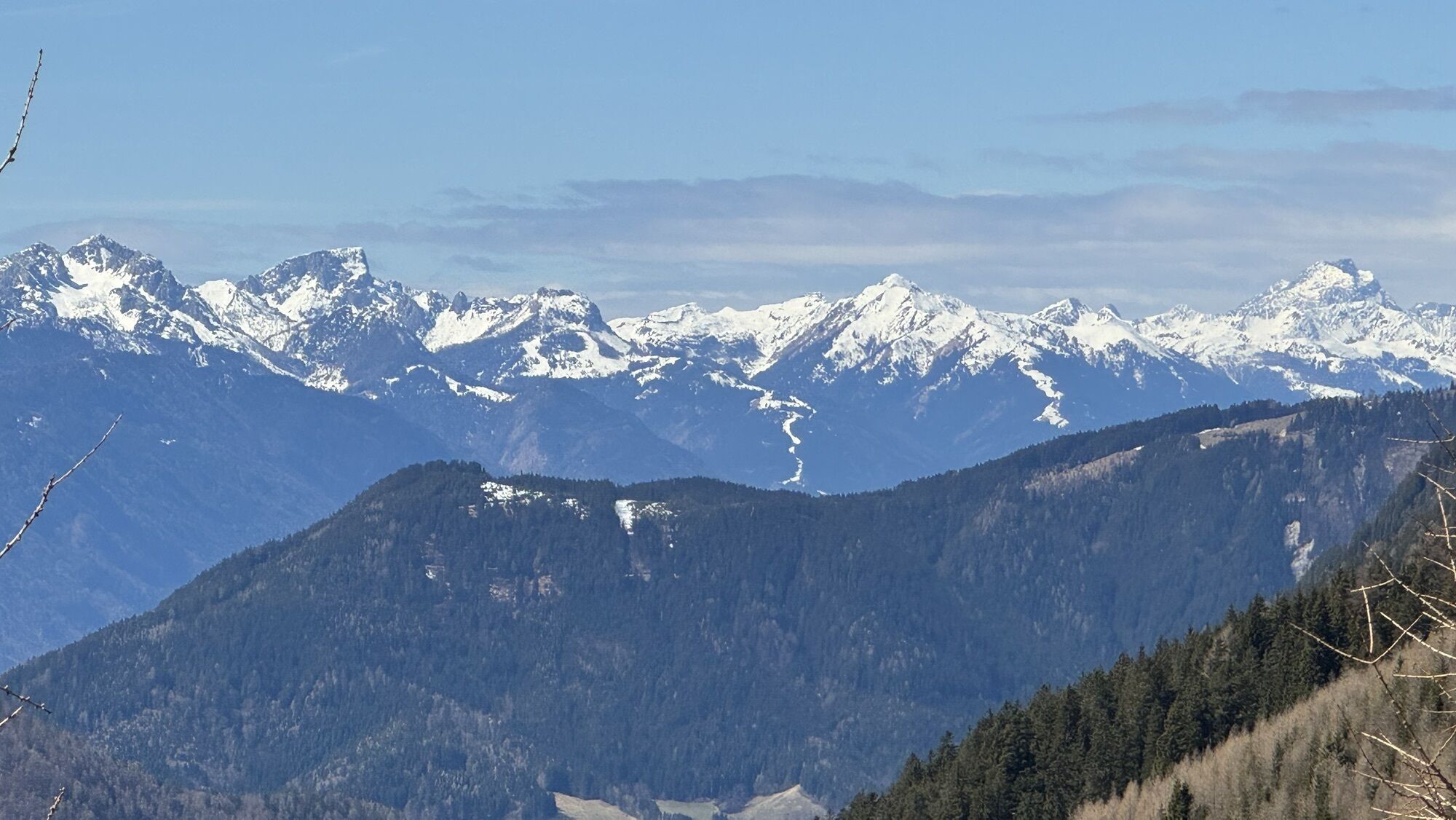
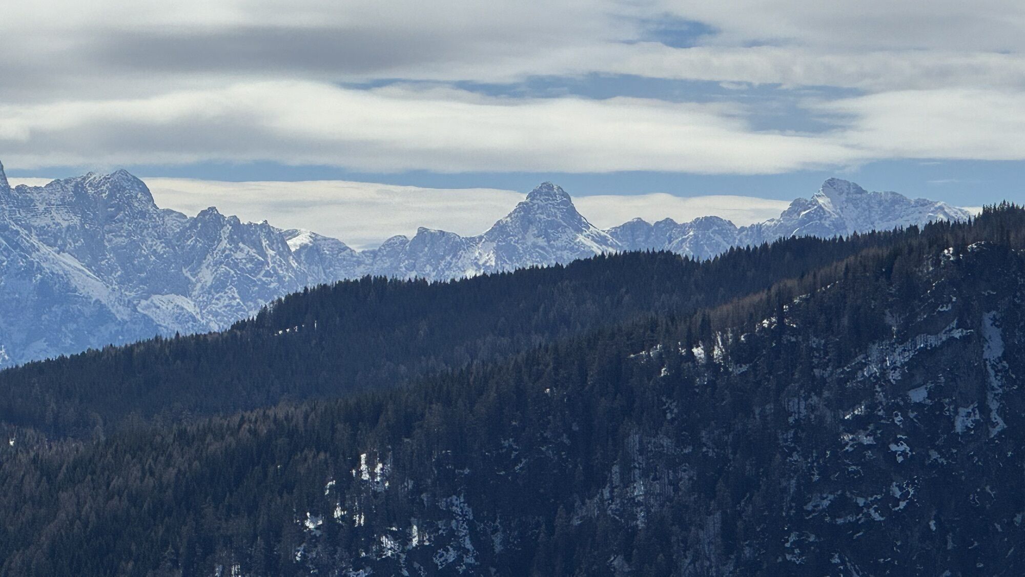
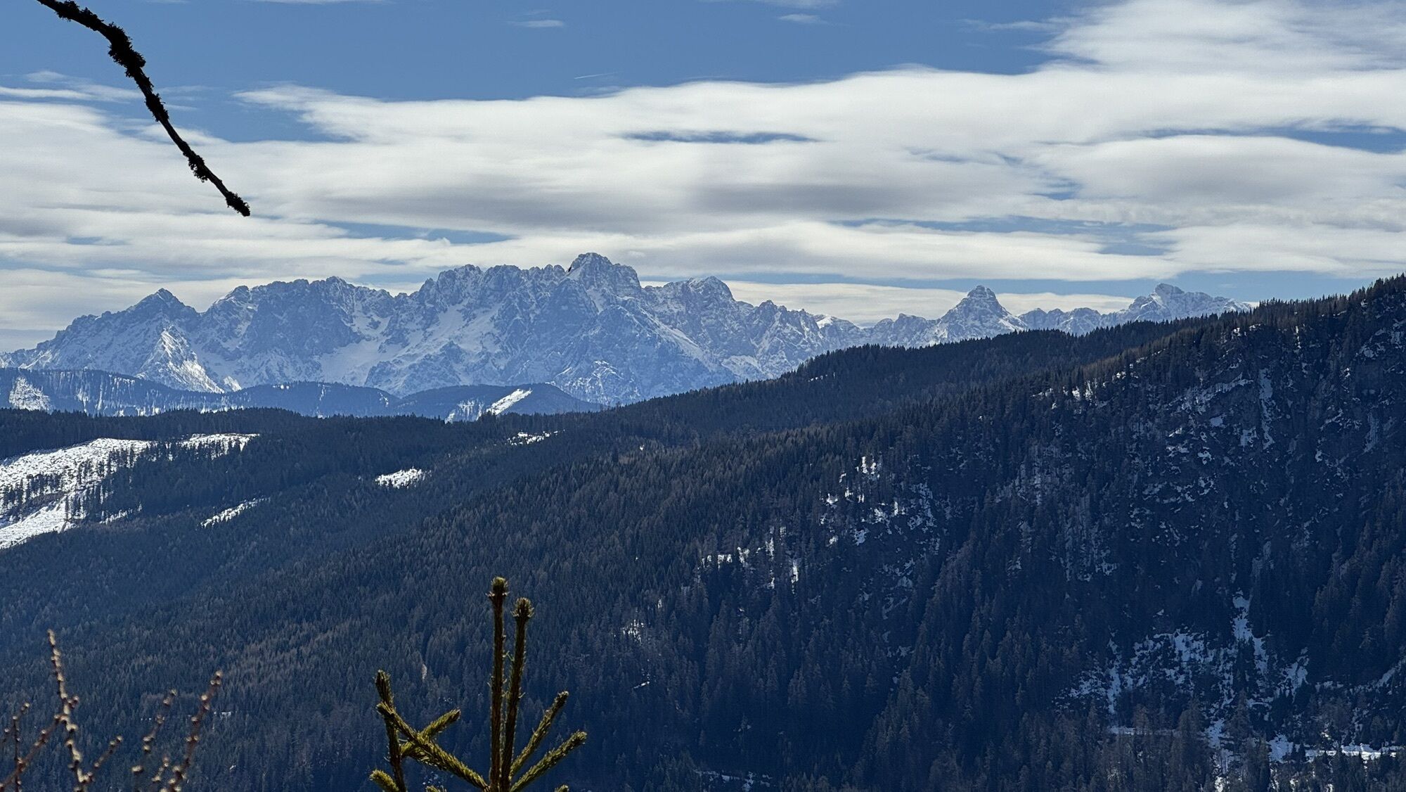
On a clear day you will be able to admire the glaciers of the 3,360 m Hochalmspitze. To get back to the starting point, take the path no. 289. Before you will reach path no. 13/13A, you have to walk around the "Traninger Wand" (steep cliff) on its western side. Follow no 13/13A until you get back to the tourist information in Bad Bleiberg.
Sí
Sí
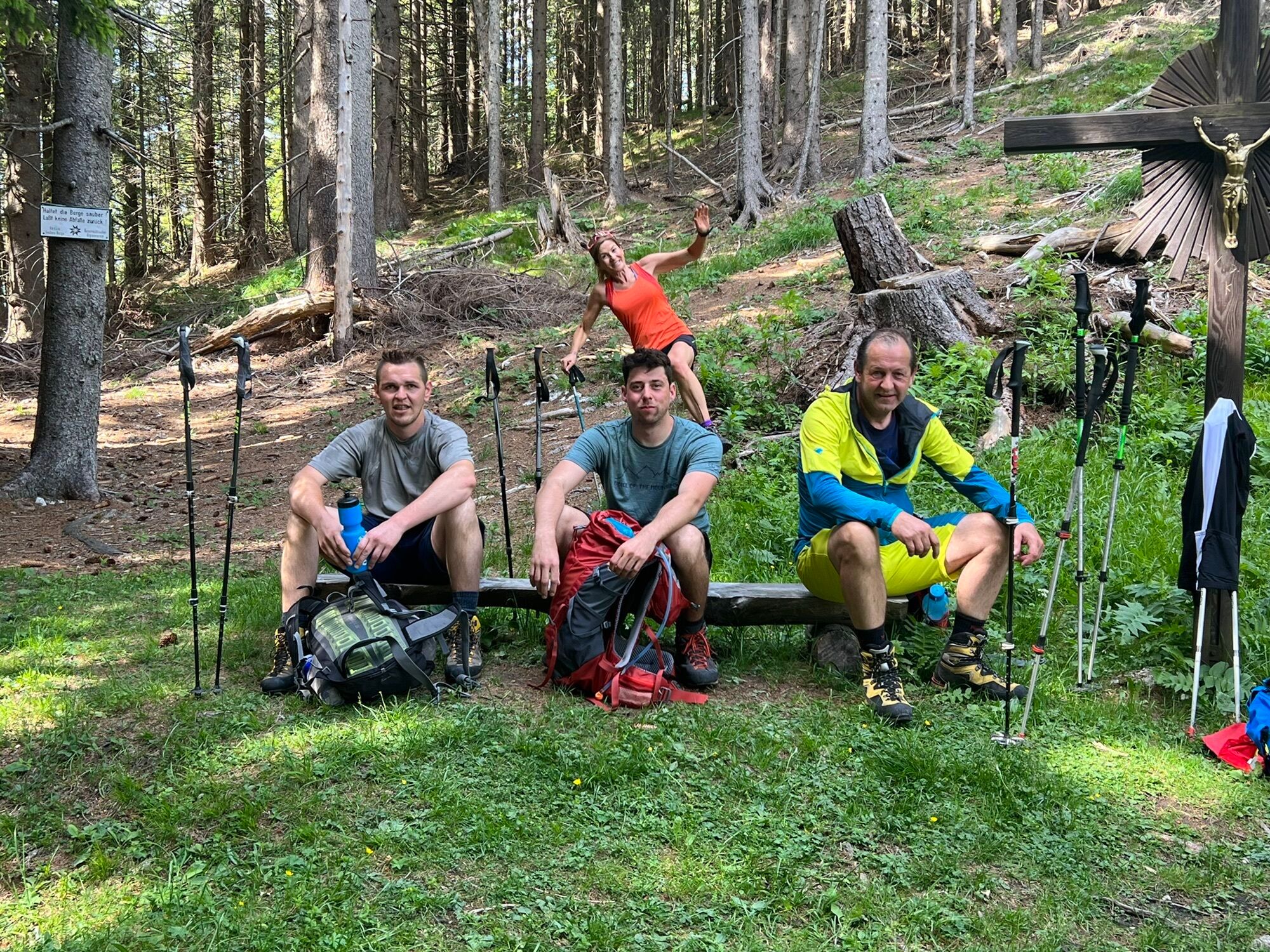
Mountain boots with profile sole, backpack, functional clothes, rainwear, walking sticks, food and drink, map material, first aid, mobile phone
Bad Bleiberg can be reached via the A2 (exit Hermagor) or via A10 (exit Villach West). Then follow the signs to Bad Bleiberg.
Bad Bleiberg can be reached at regular intervals by public transport.
Parking spaces are available in front of the tourist information office.


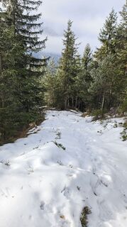
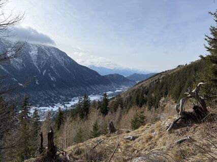
Webcams del recorrido



Rutas populares en los alrededores
-
4,6
Auf den Dobratsch mit der ganzen Familie
Senderismo 8,40 km -
5,0
Amberg: Palnock 1901m, Schwarzsee, Rundstrecke
medioSenderismo 7,94 km -
4,2
Camino circular Schwarzsee
medioSenderismo 7,79 km -
4,6
Gailtaler Alpen: Wanderung auf der Dobratsch
medioSenderismo 8,50 km -
4,3
Gerlitzen - sendero Hütter
pesadoSenderismo 6,80 km -
4,2
Mirnock
luzSenderismo 4,54 km -
4,5
Oswaldiberg St.Ruprecht
medioSenderismo 6,69 km -
4,0
Dobratsch über den Jägersteig
Senderismo 4,30 km -
4,6
Tschekelnock
medioSenderismo 8,93 km -
4,4
Gerlitzen- Hüttersteig
medioSenderismo 5,07 km
Senderismo y rastreo


No se pierda las ofertas y la inspiración para sus próximas vacaciones
Su dirección de correo electrónico se ha añadido a la lista de correo.





