






Wöllaner Nock
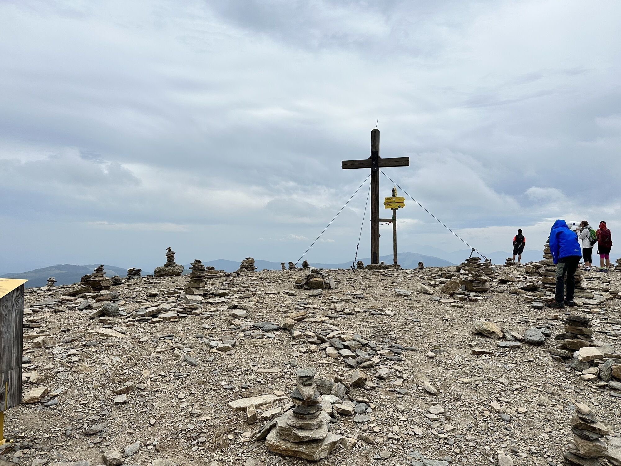
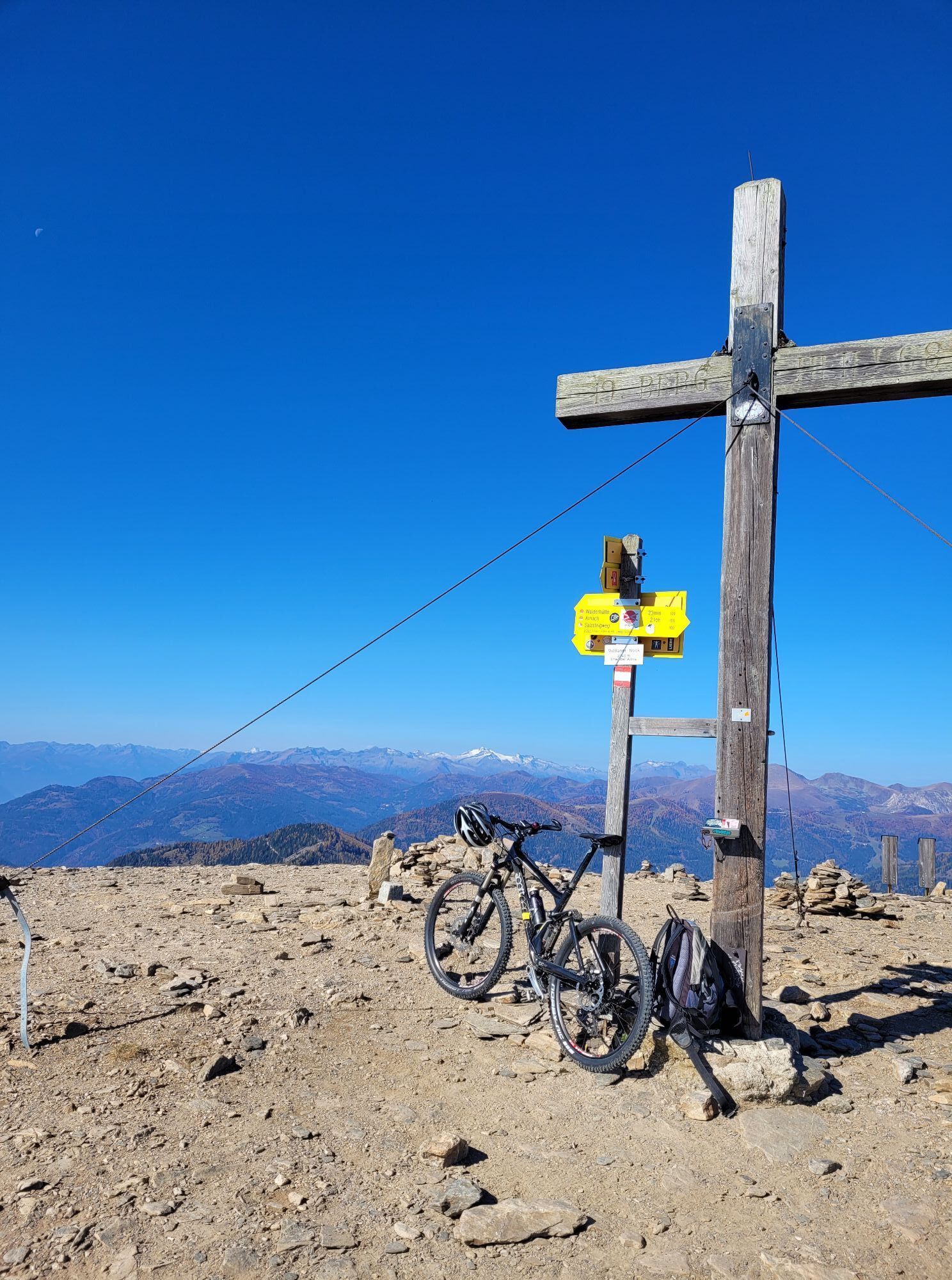
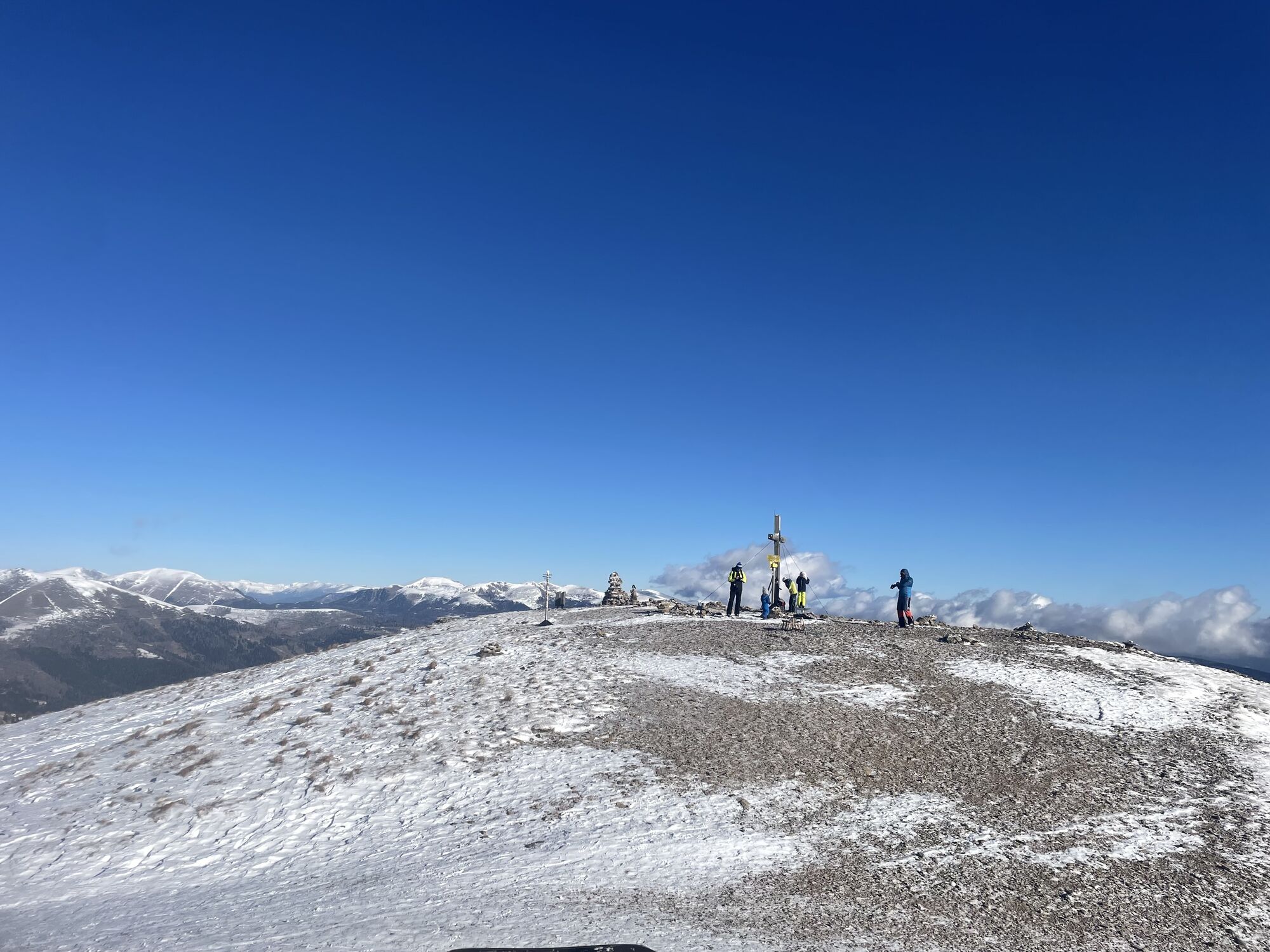
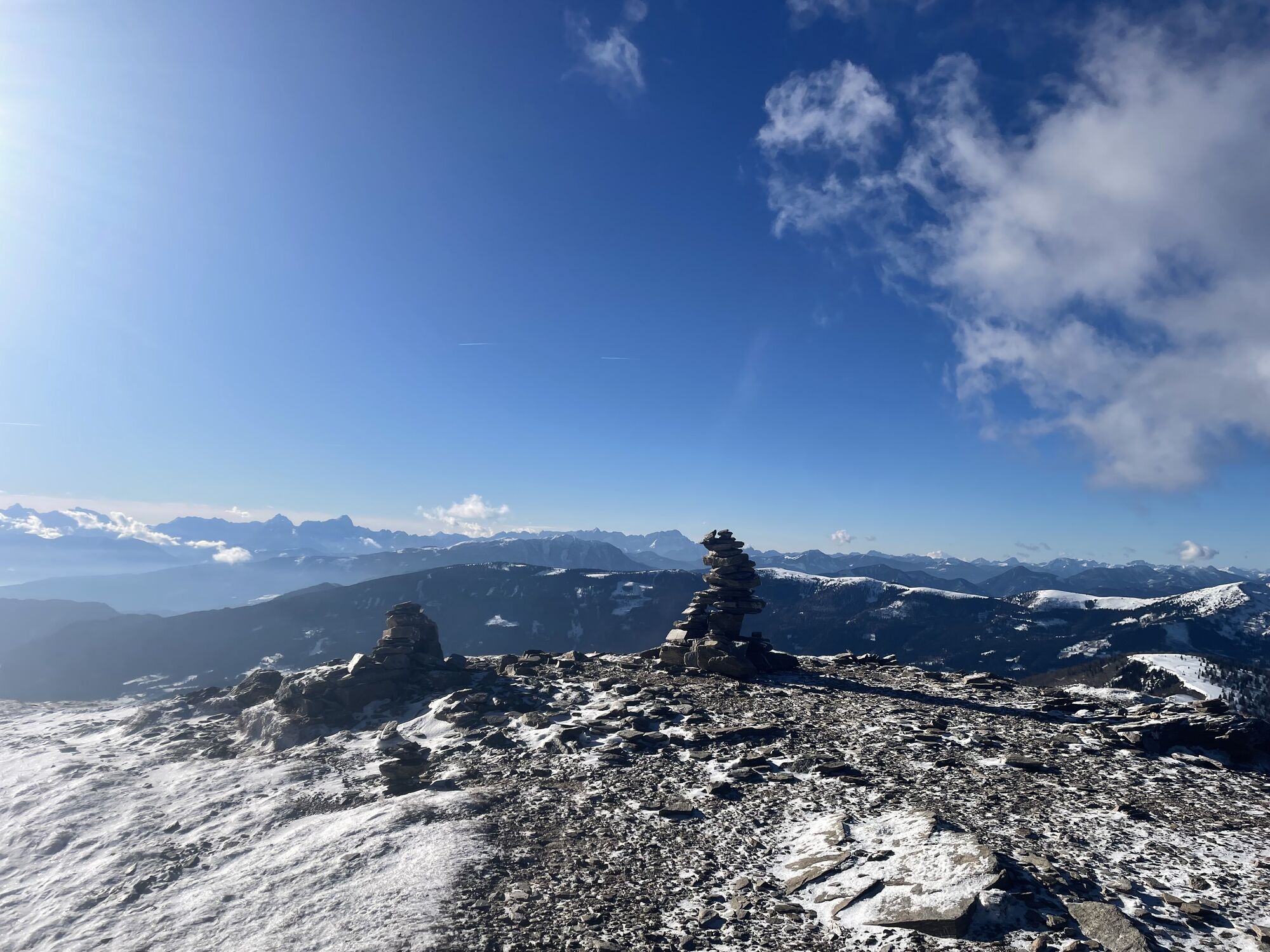
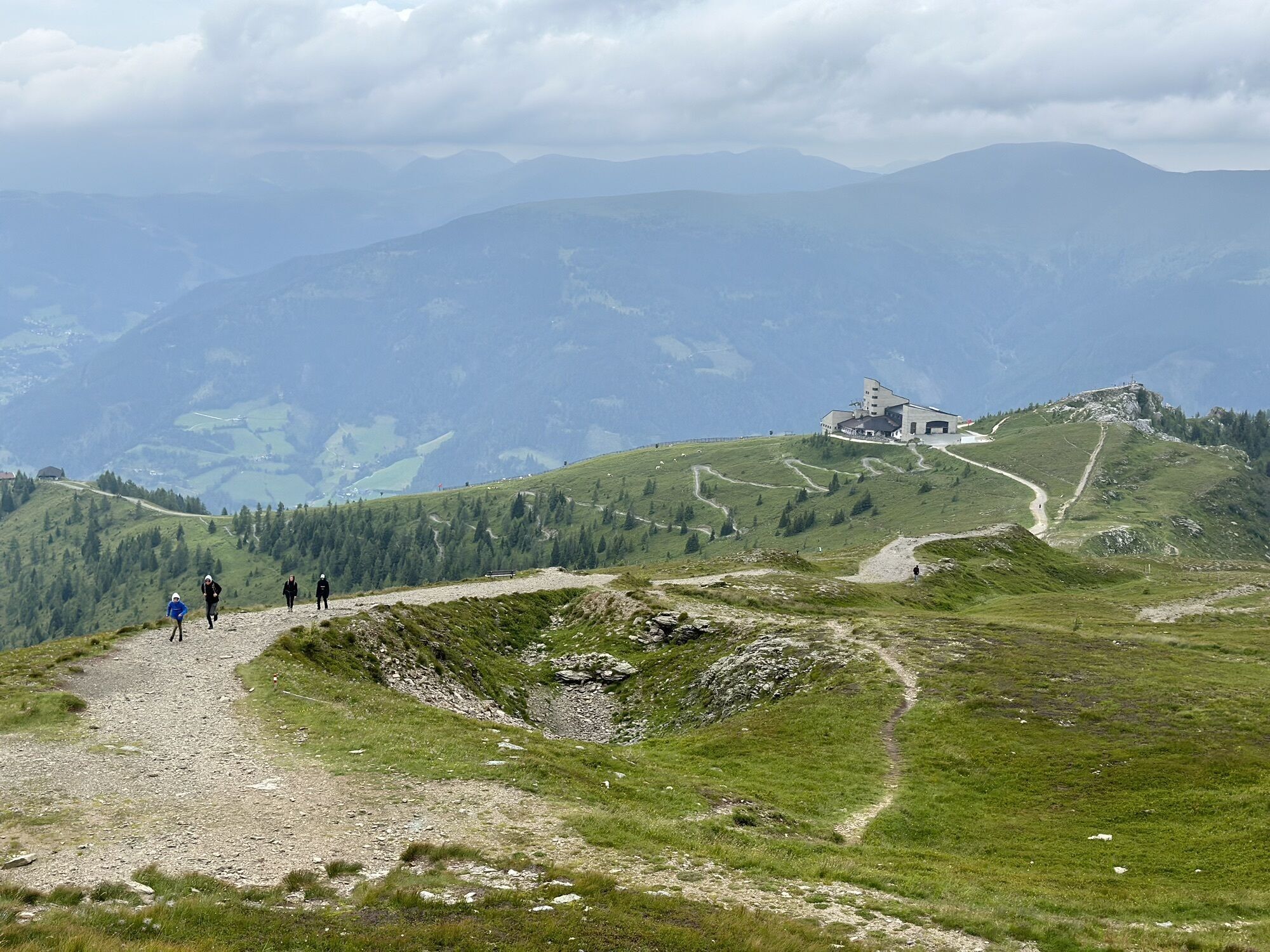
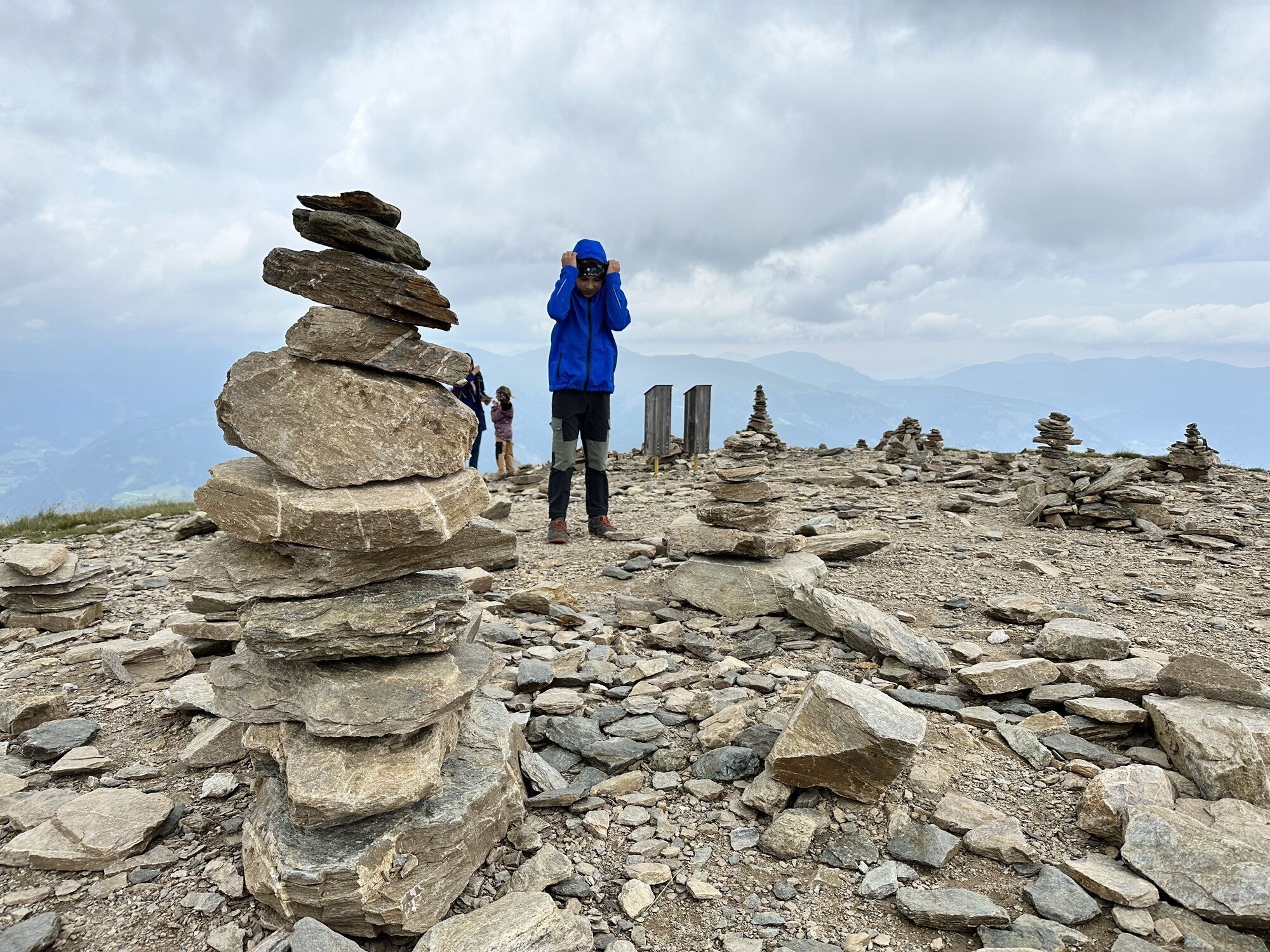
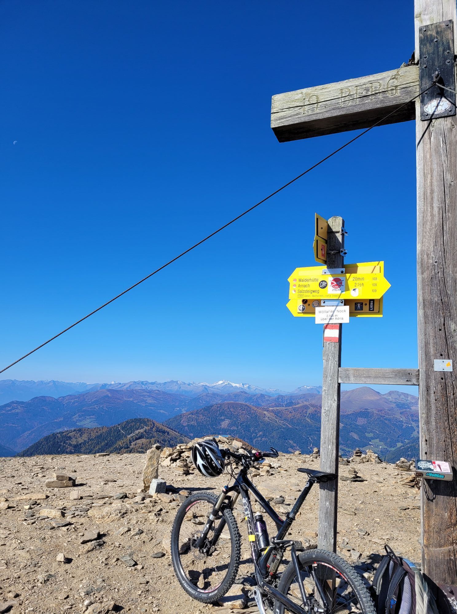
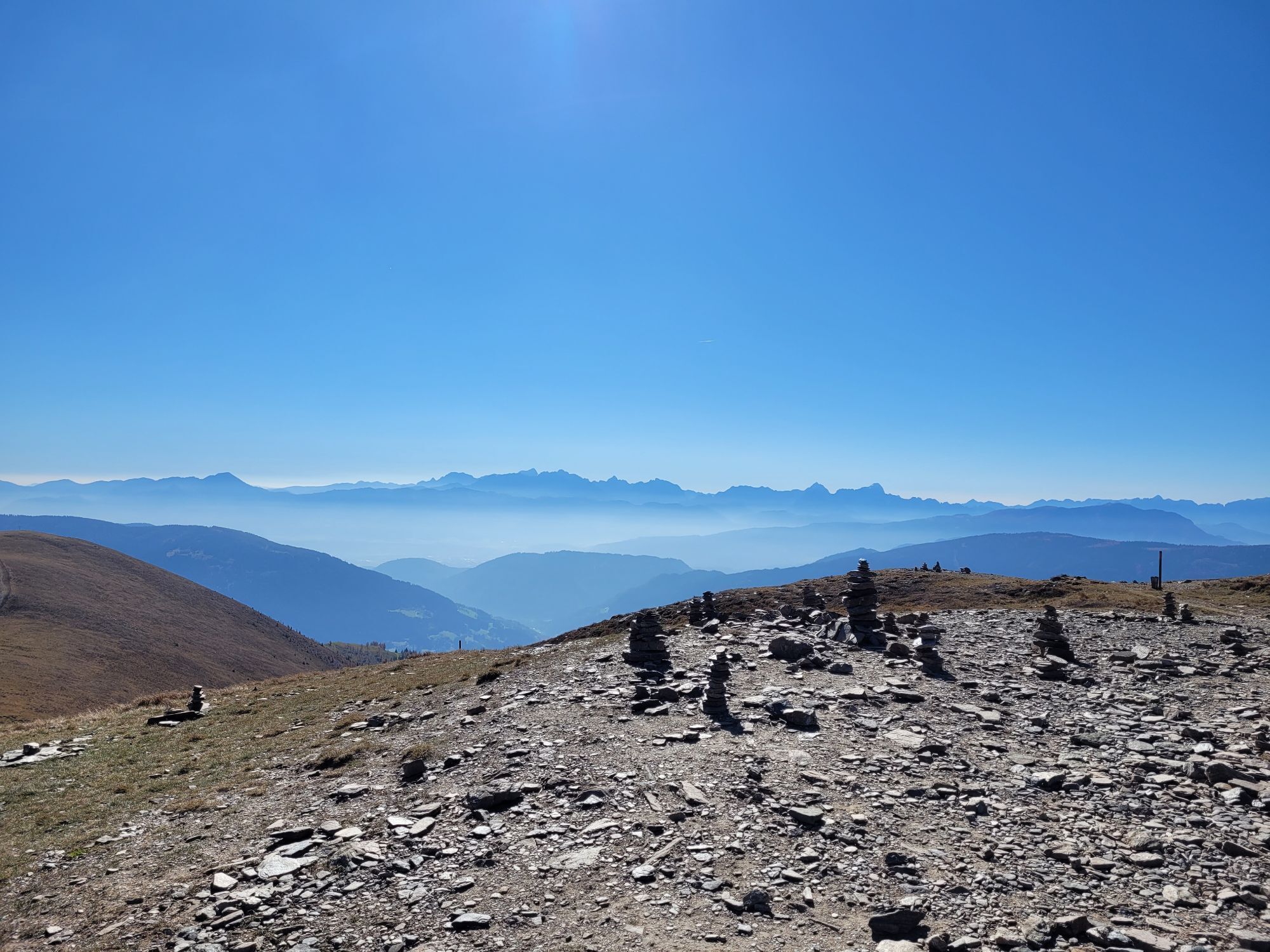
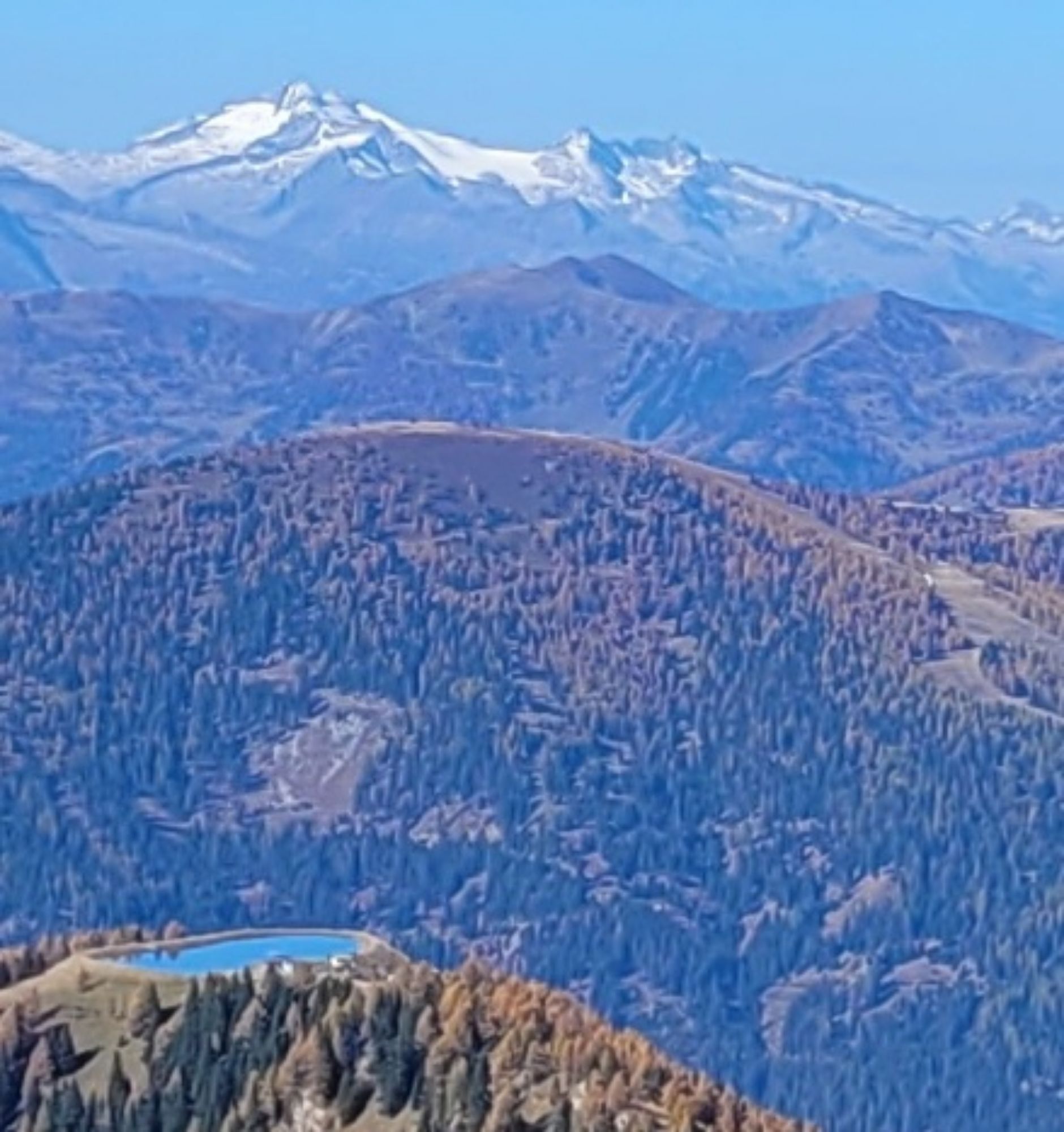
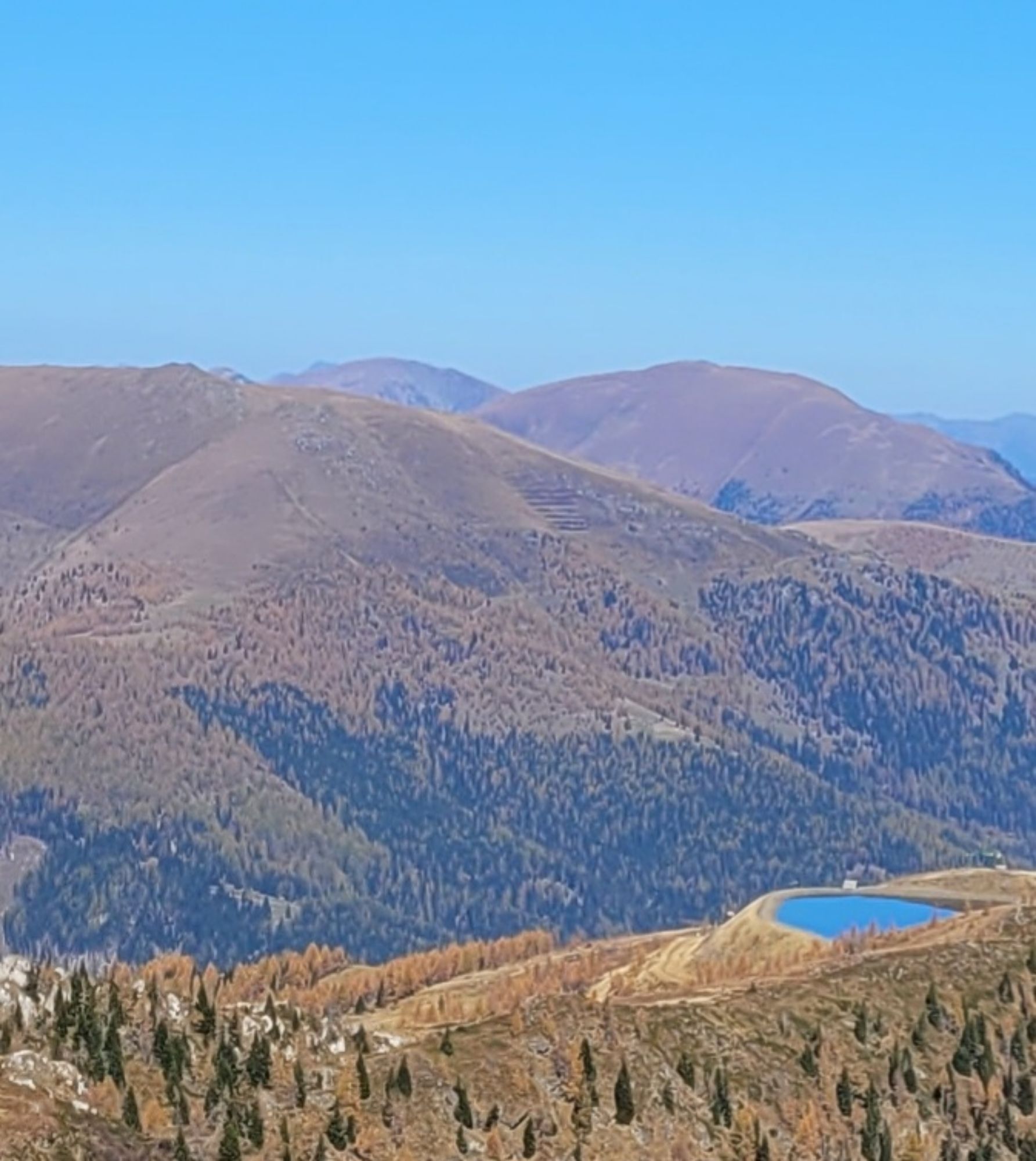
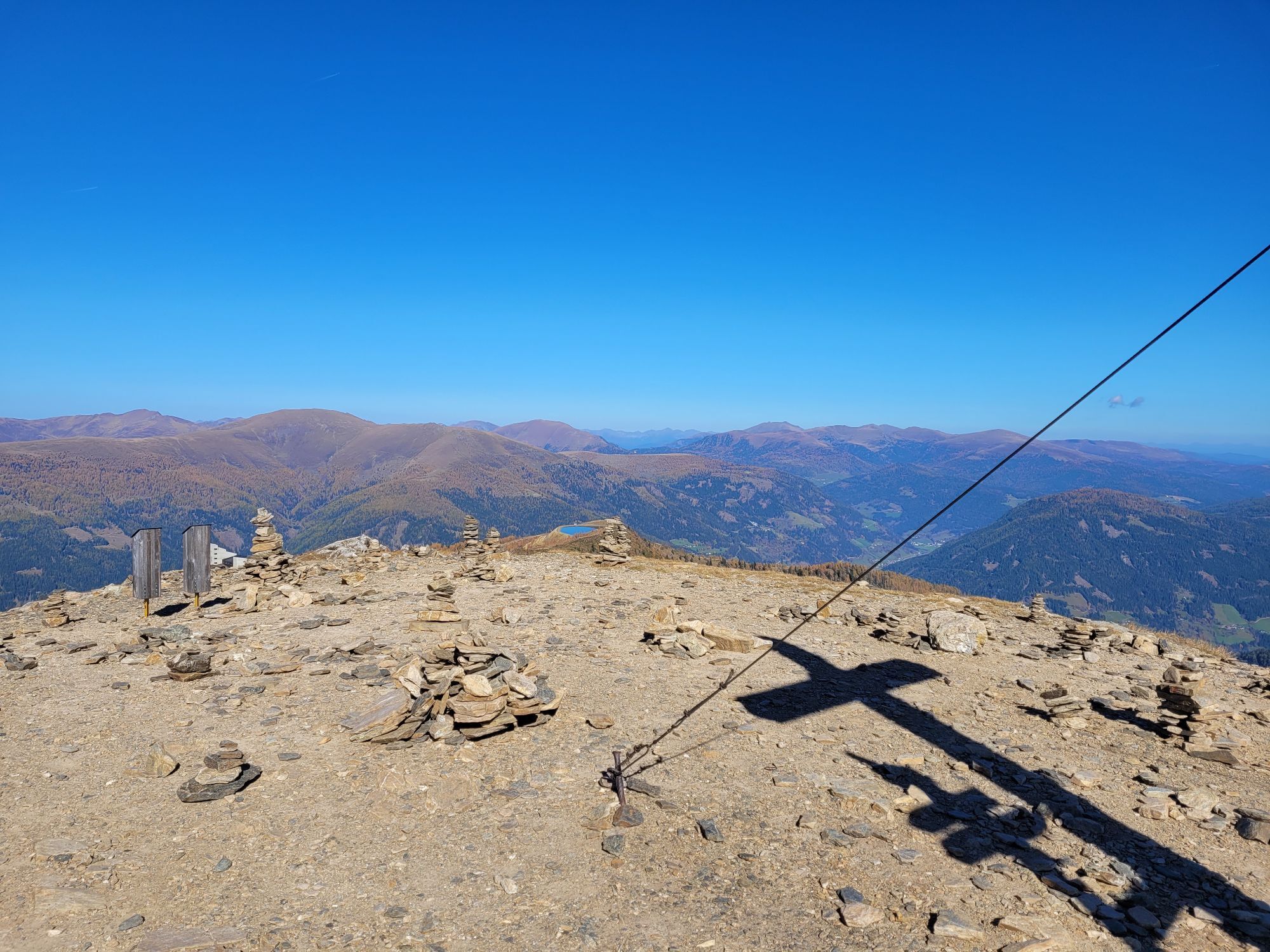
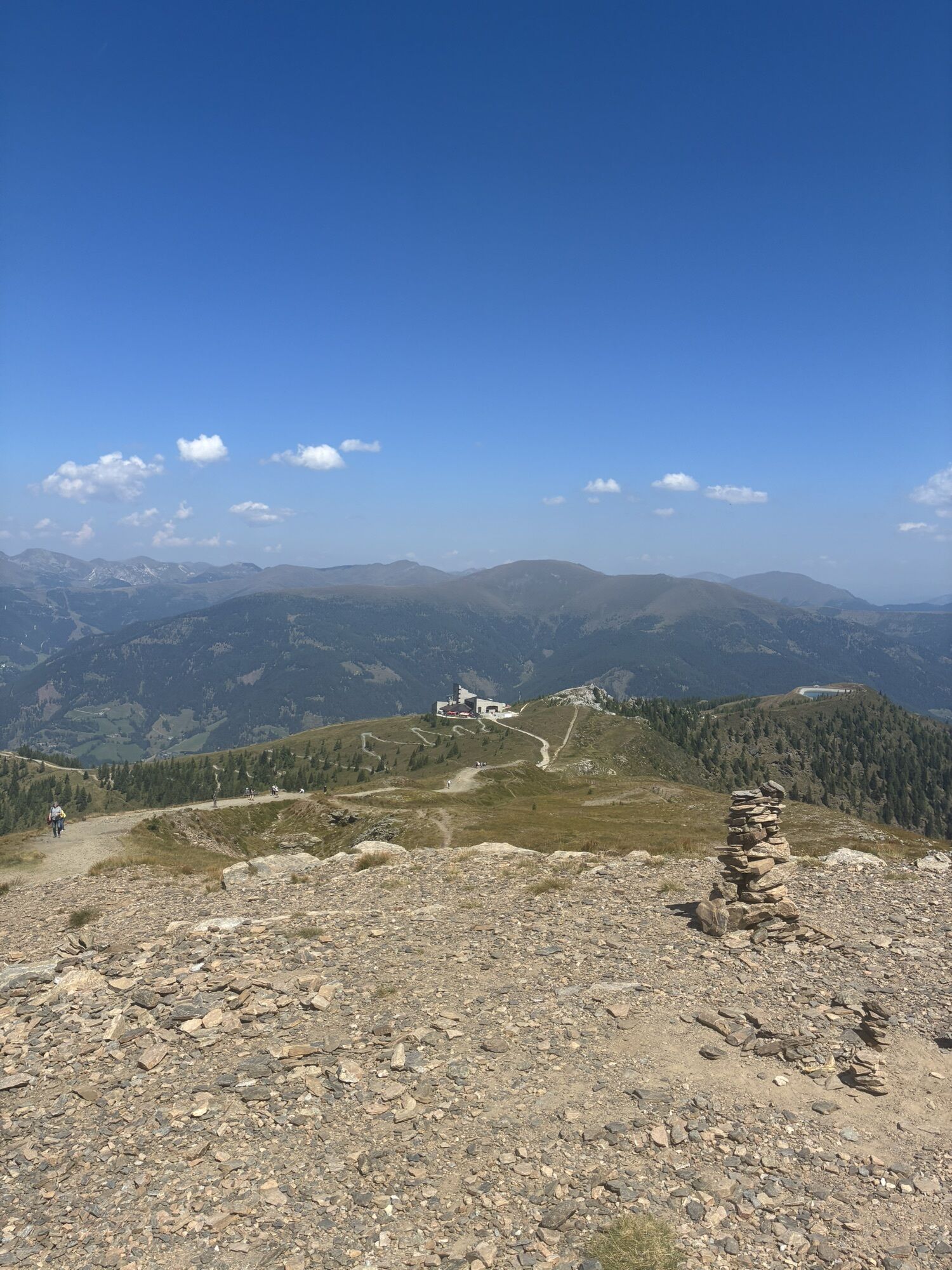
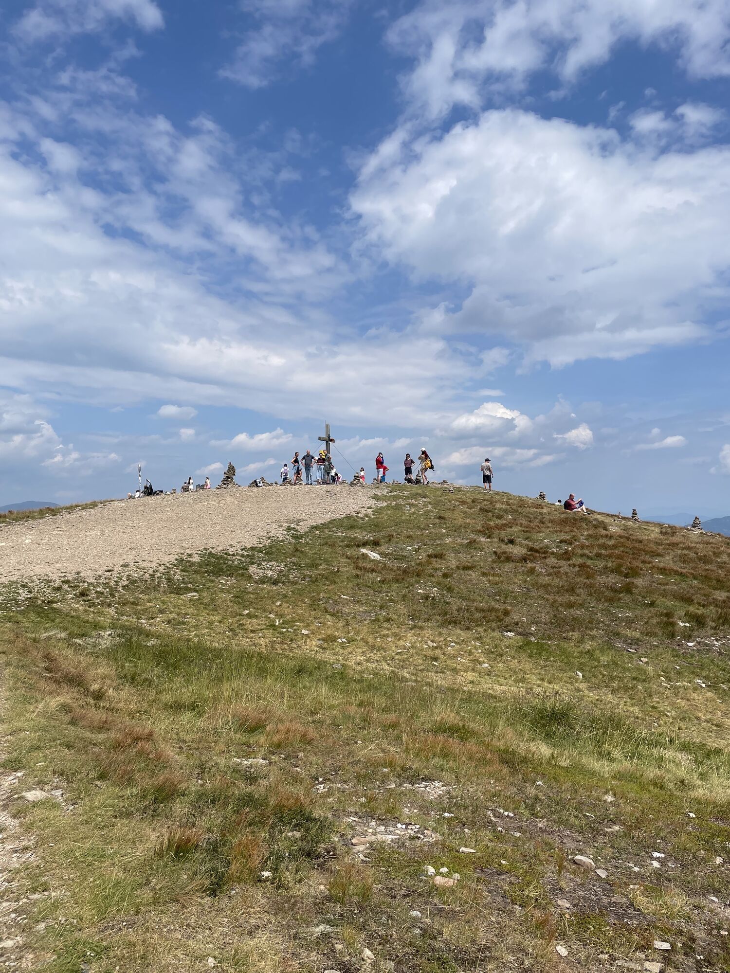
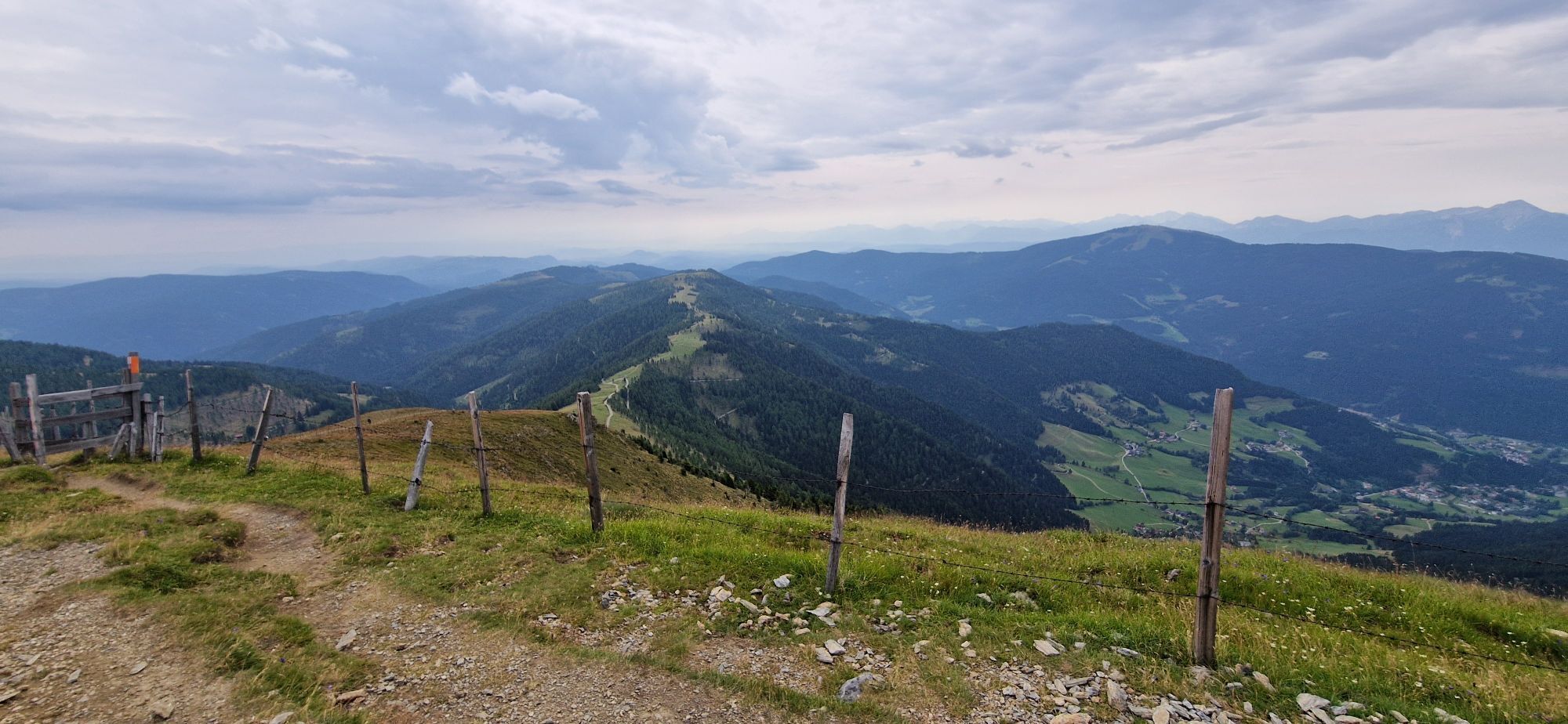
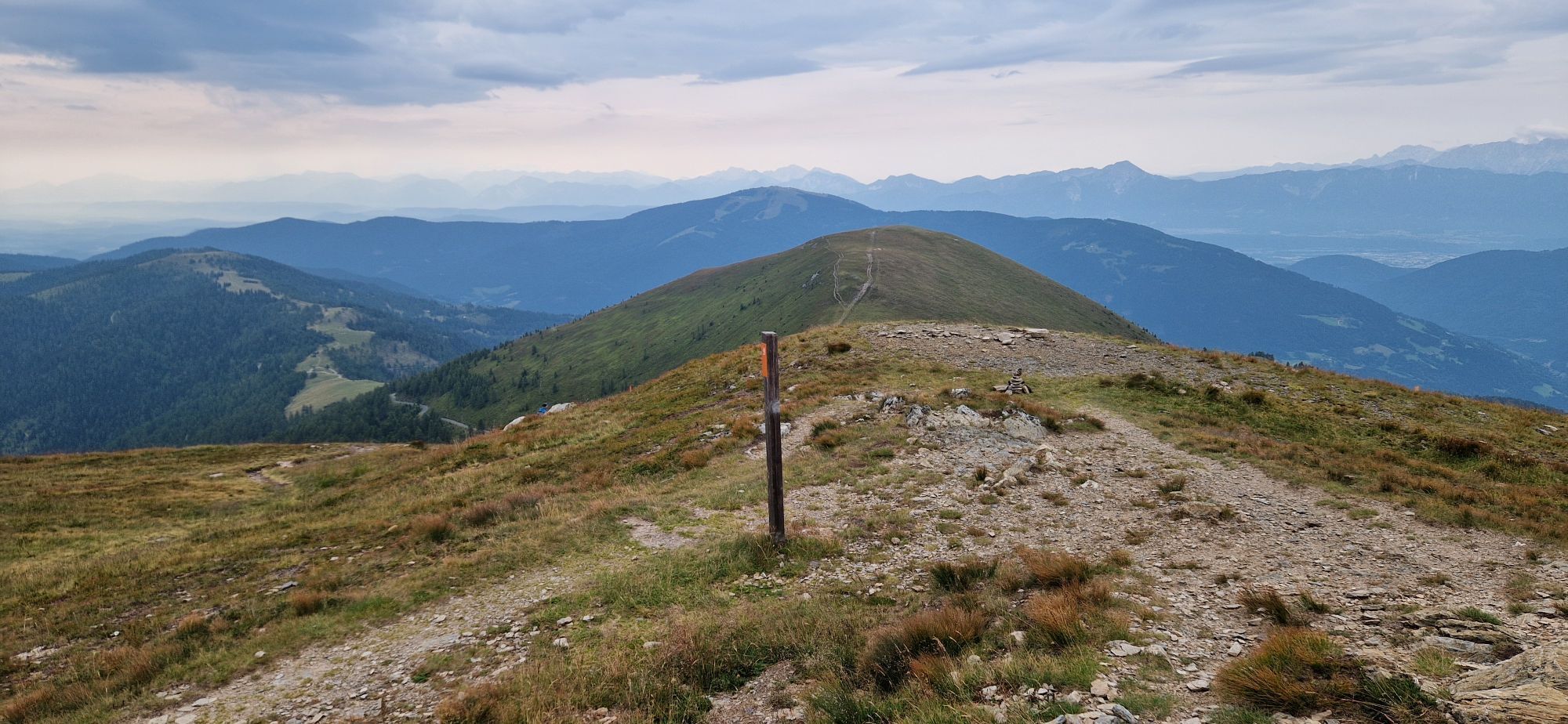
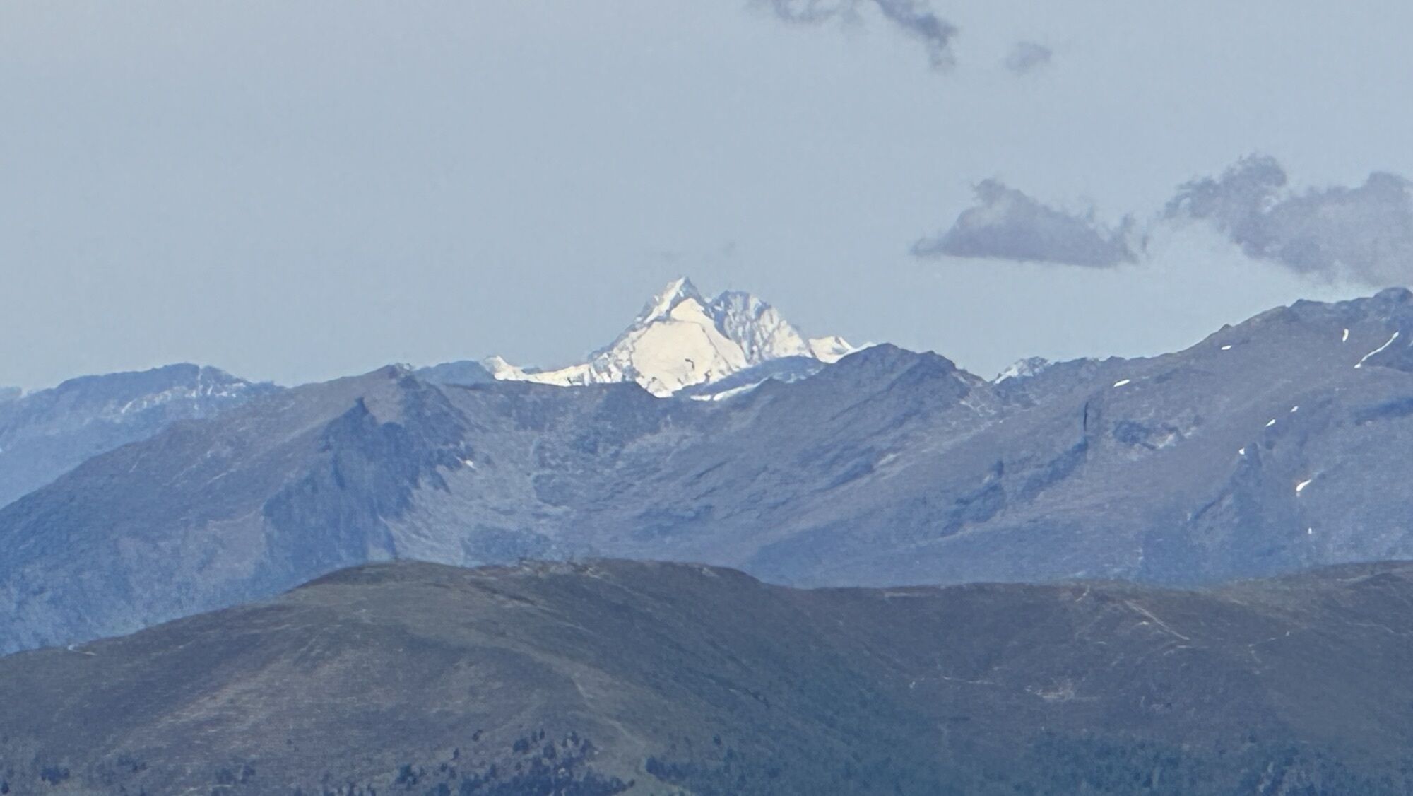
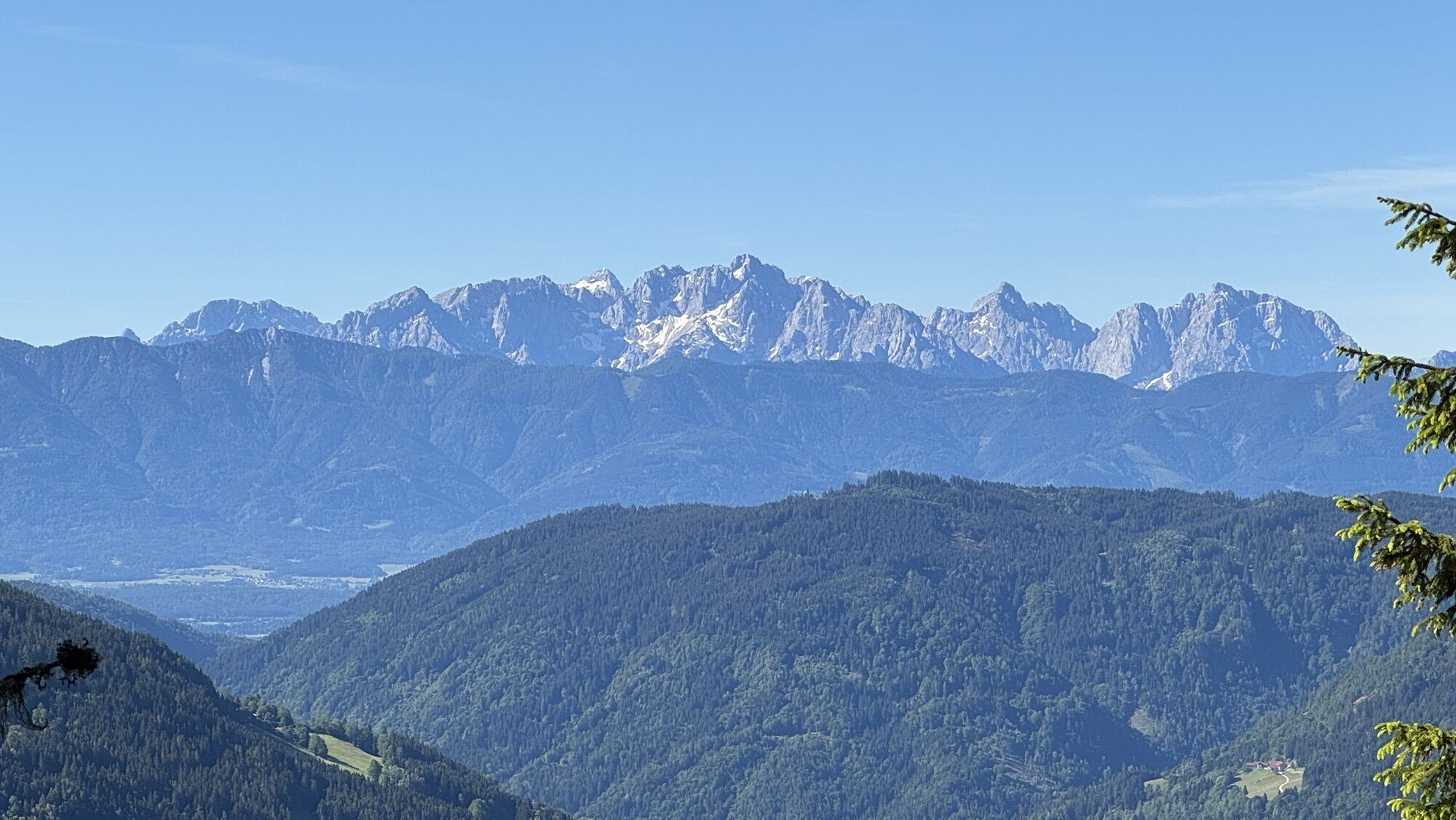
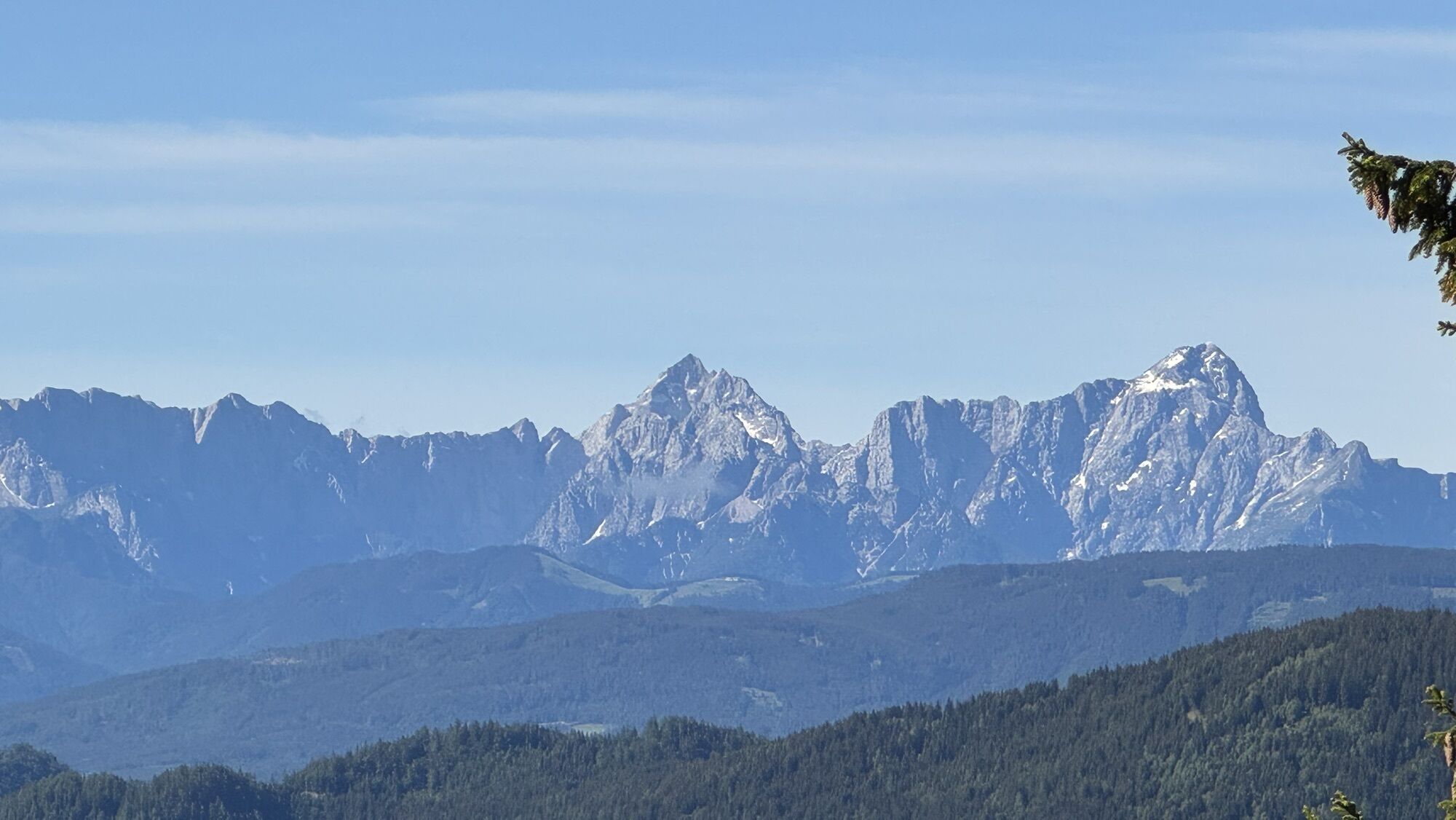
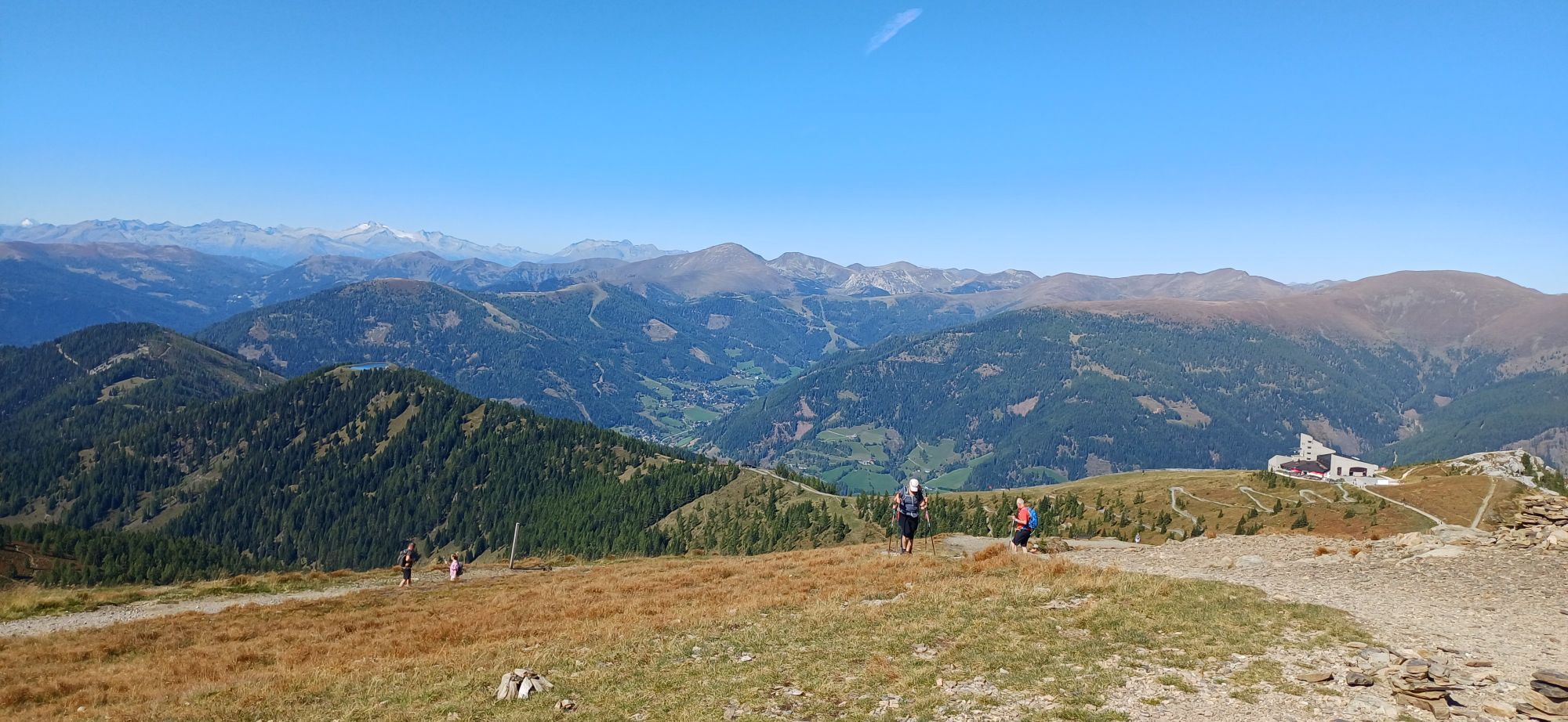
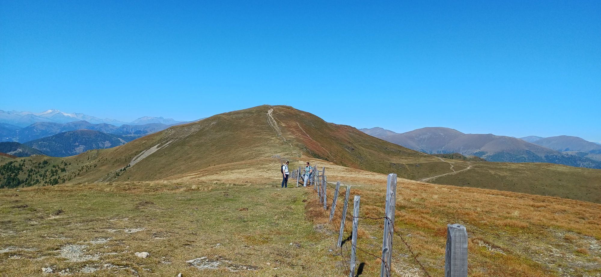
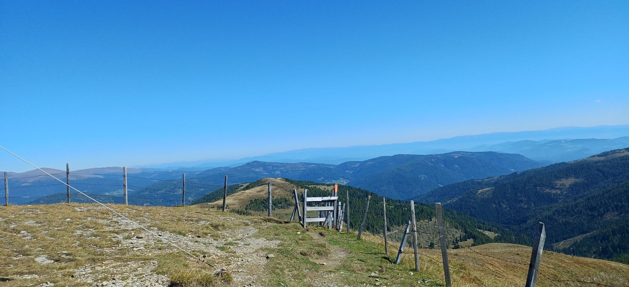

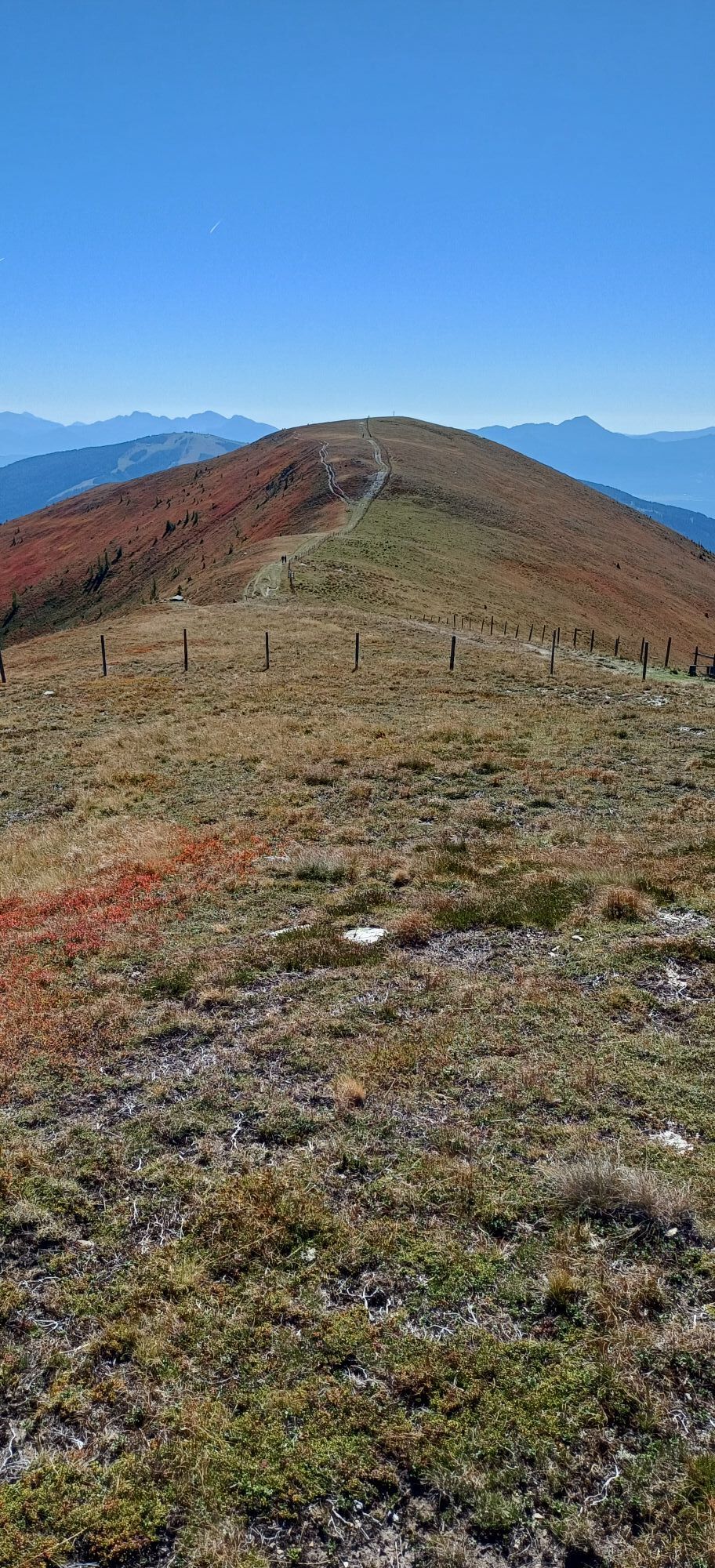
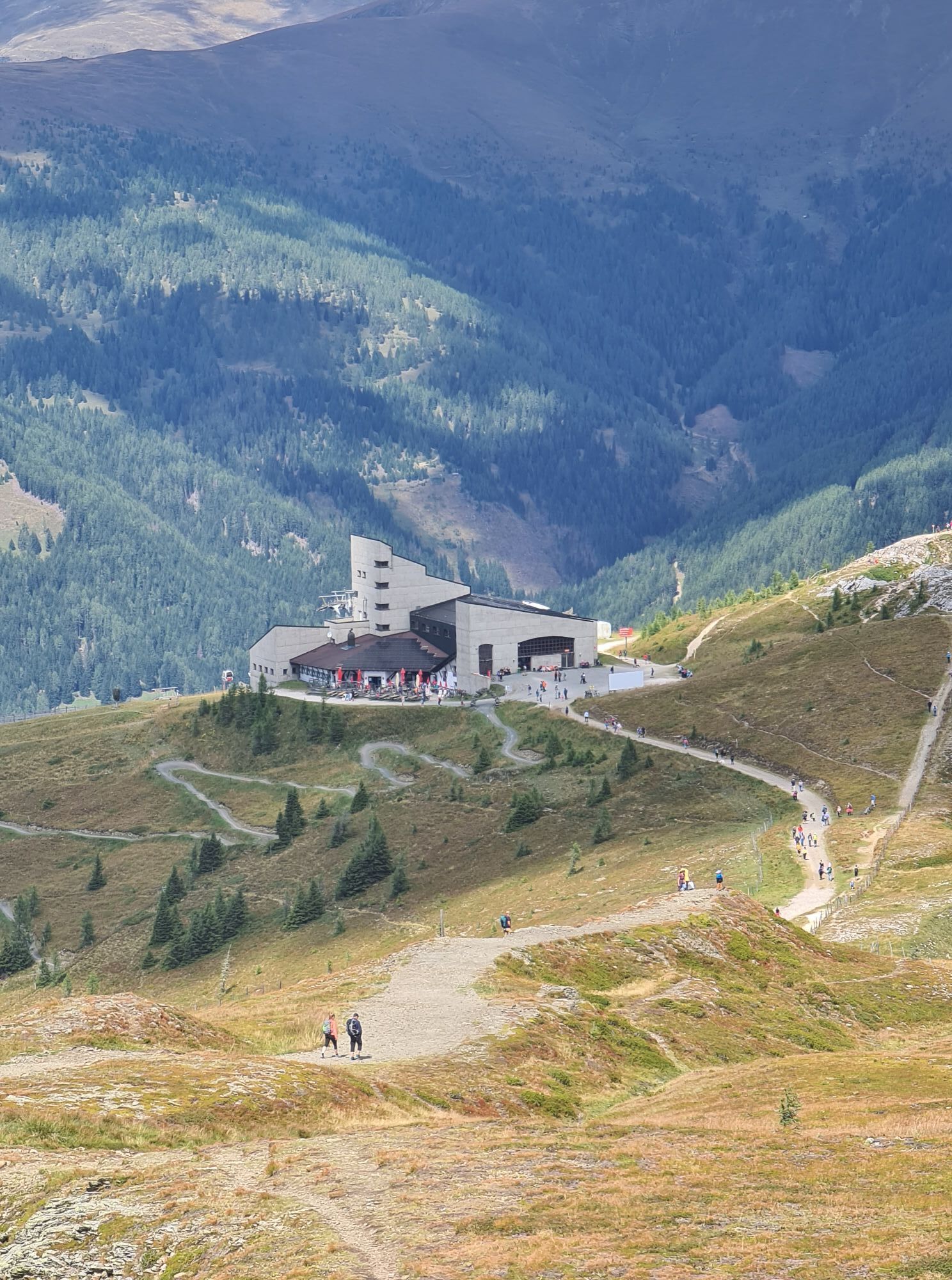
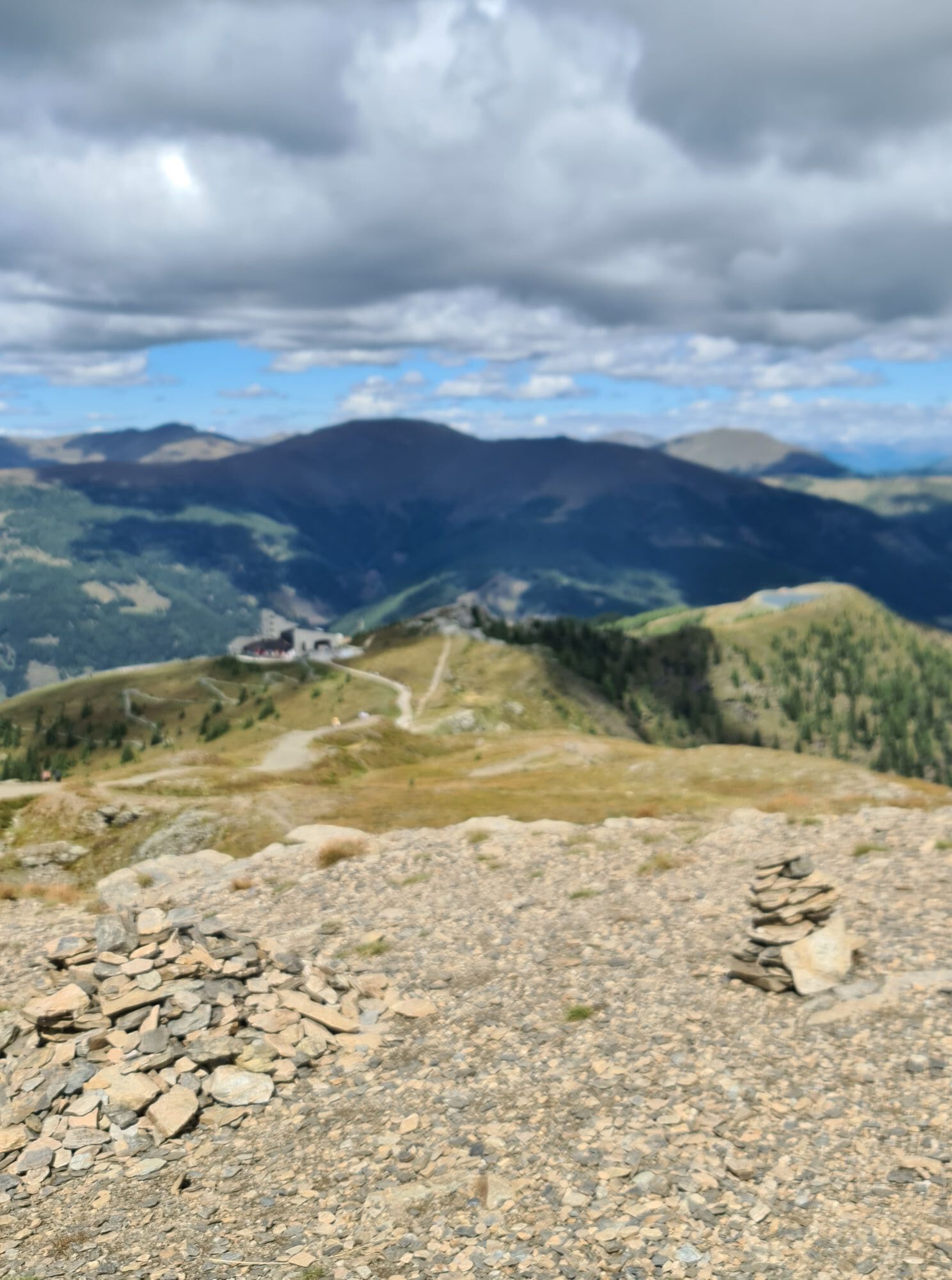
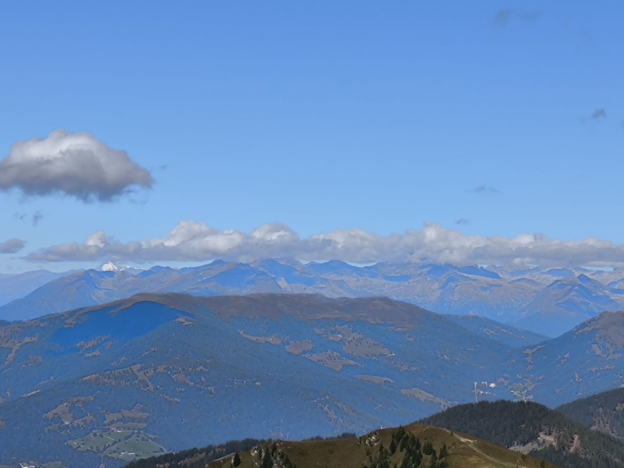
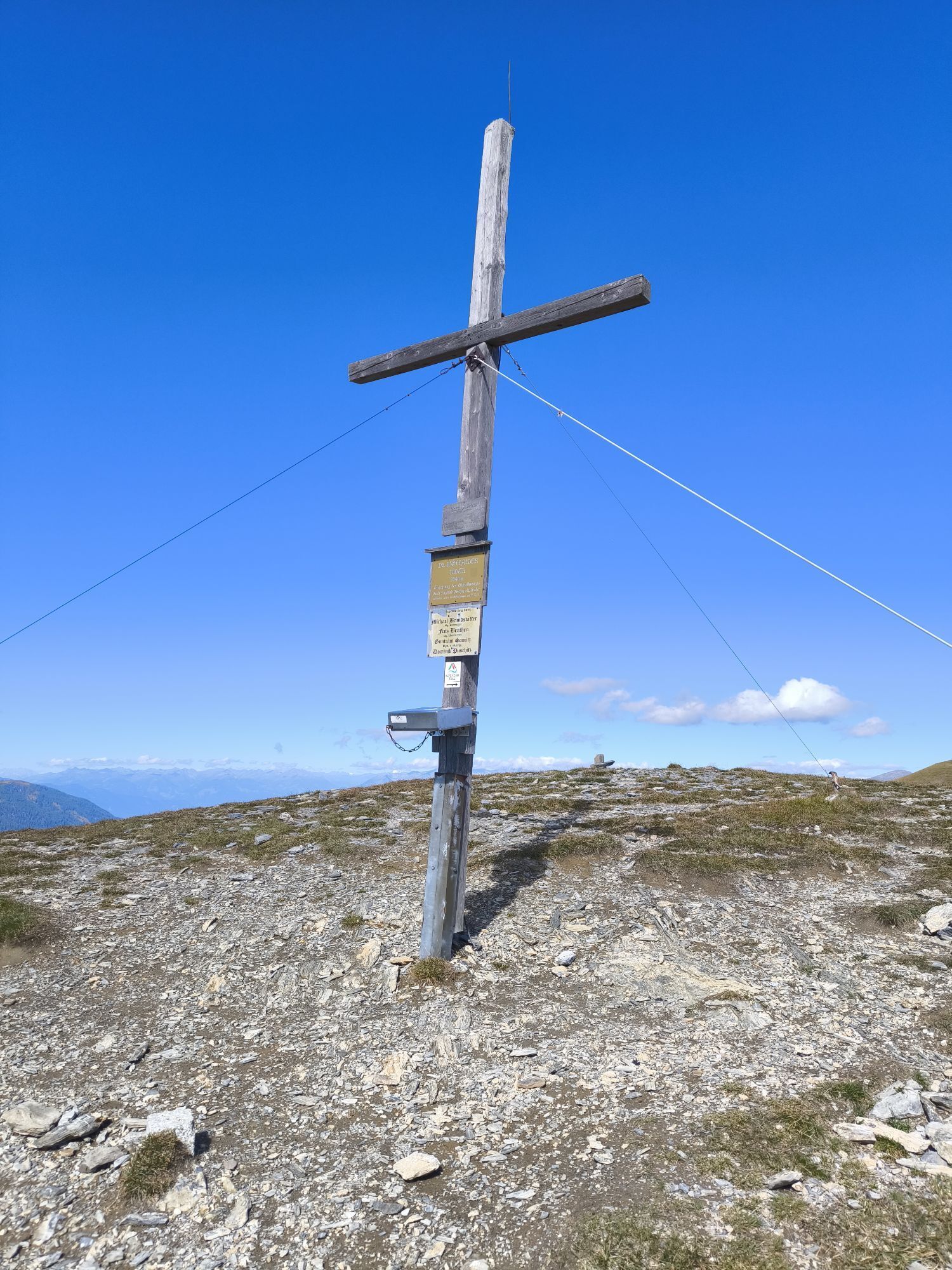
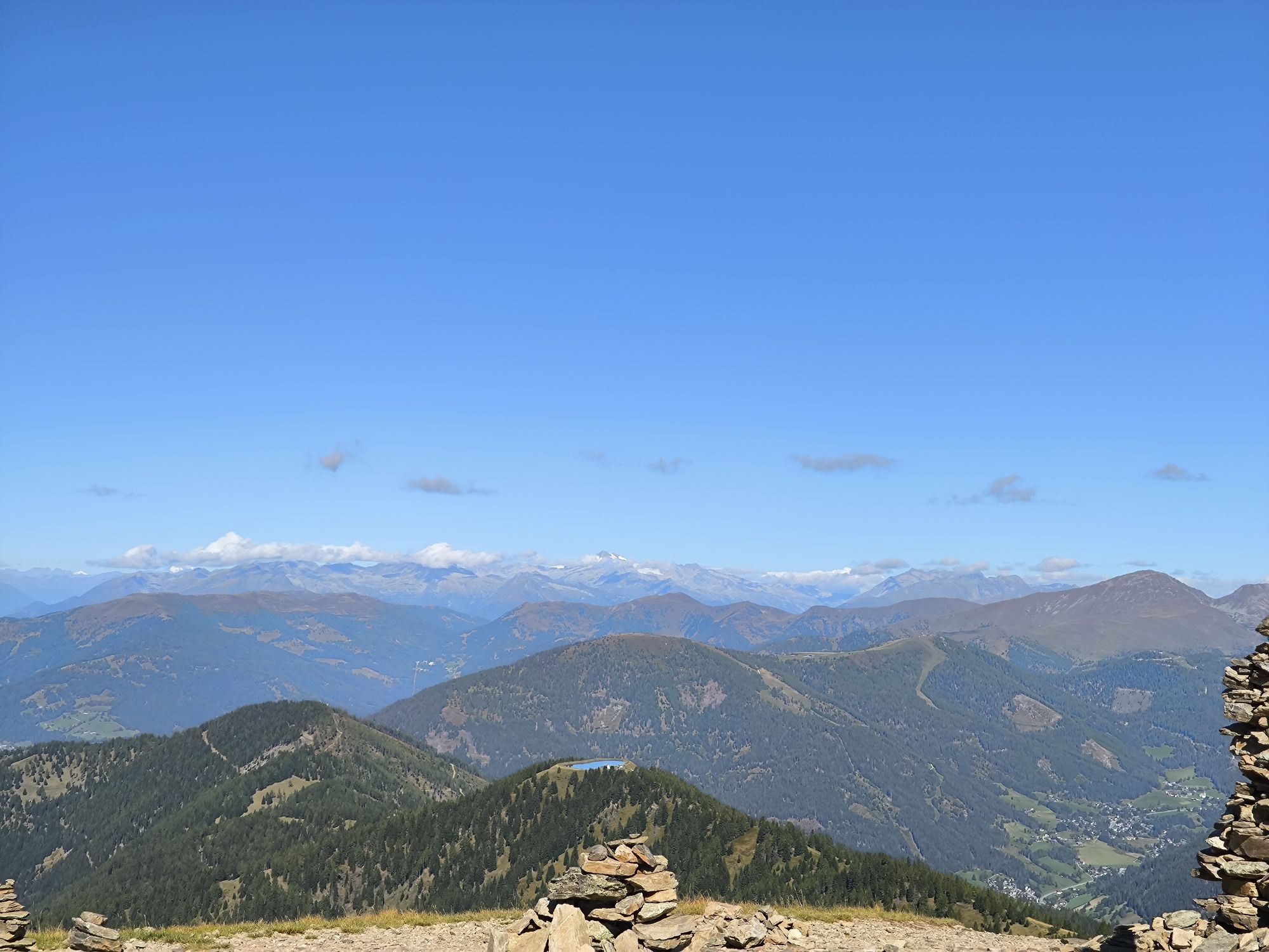
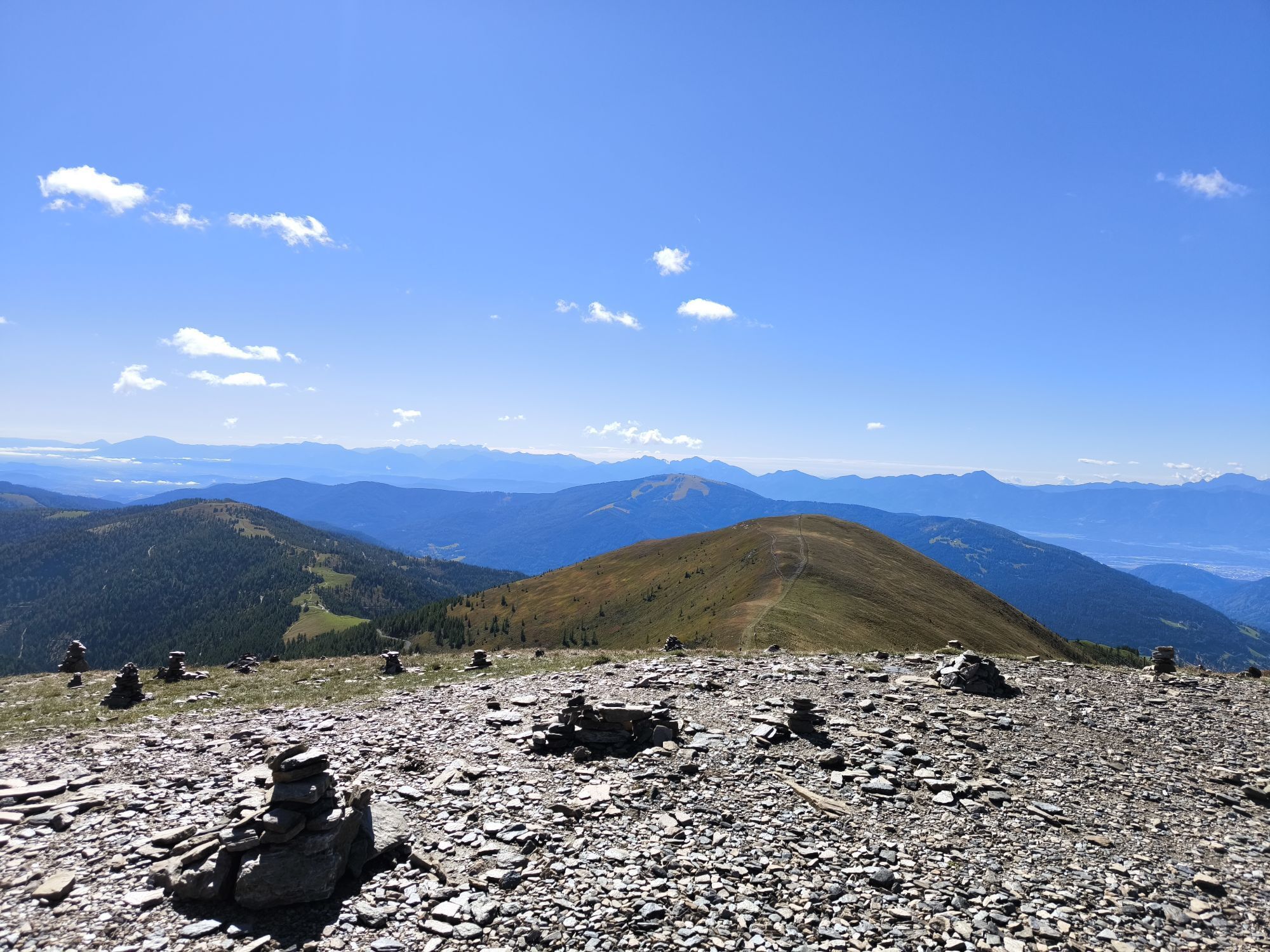
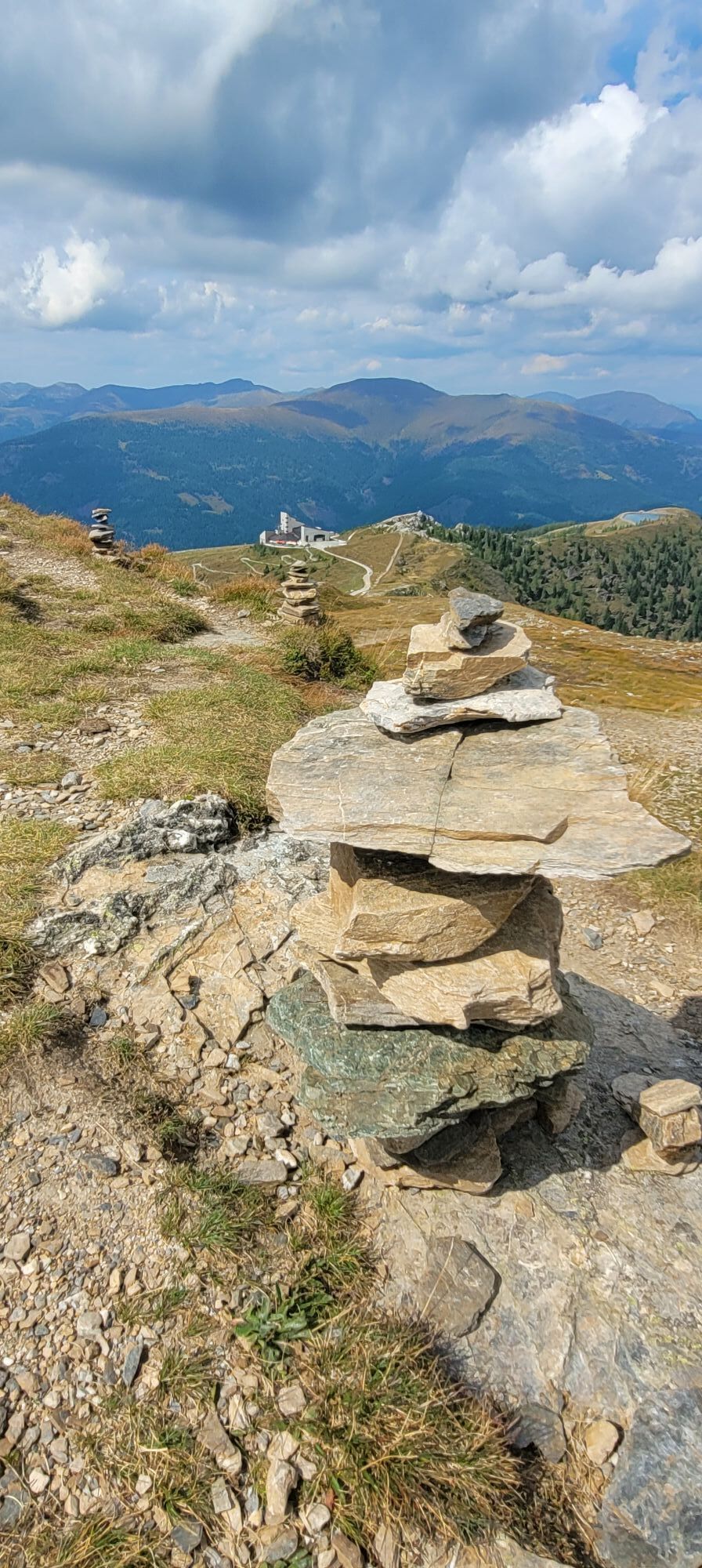

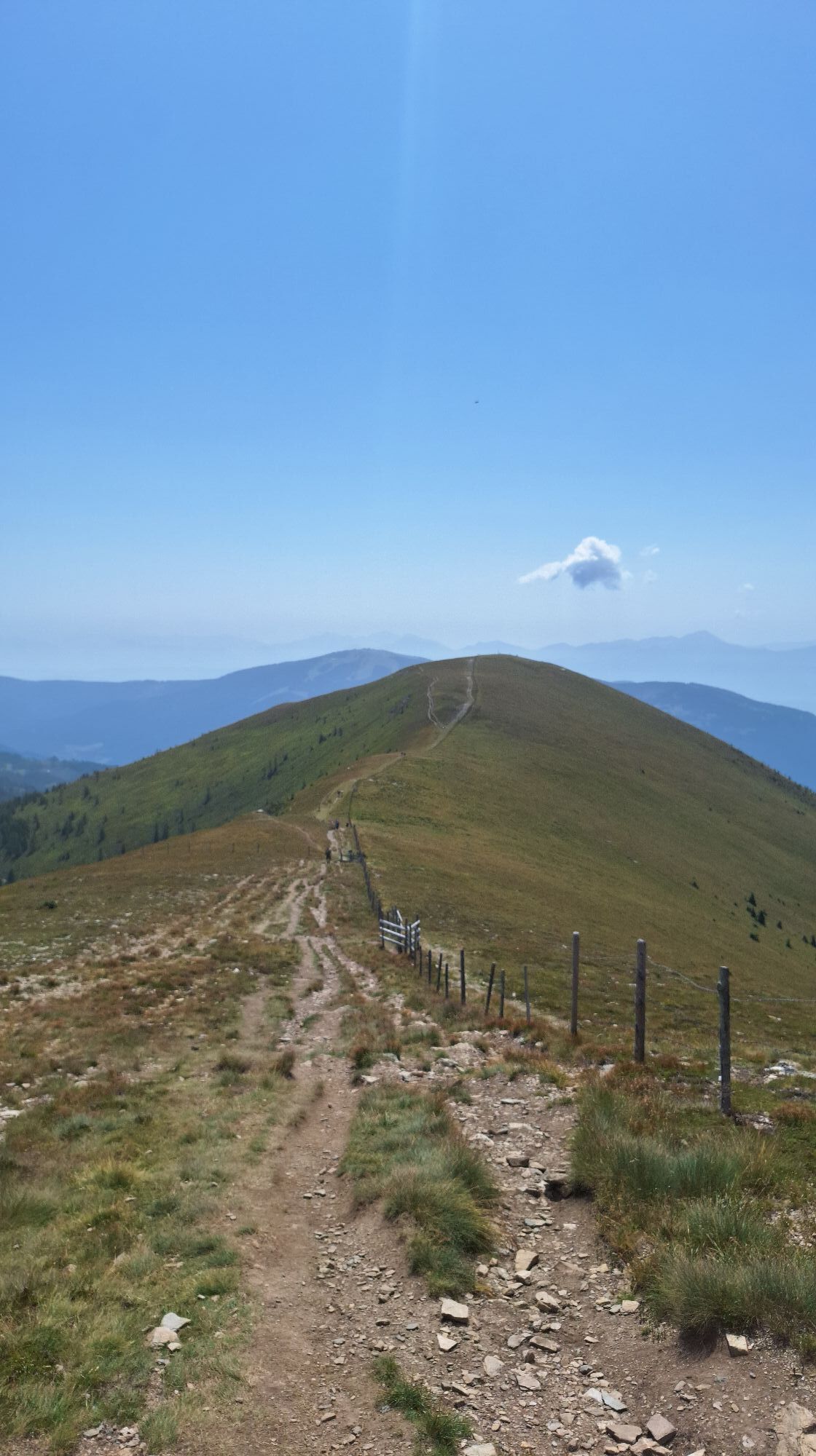
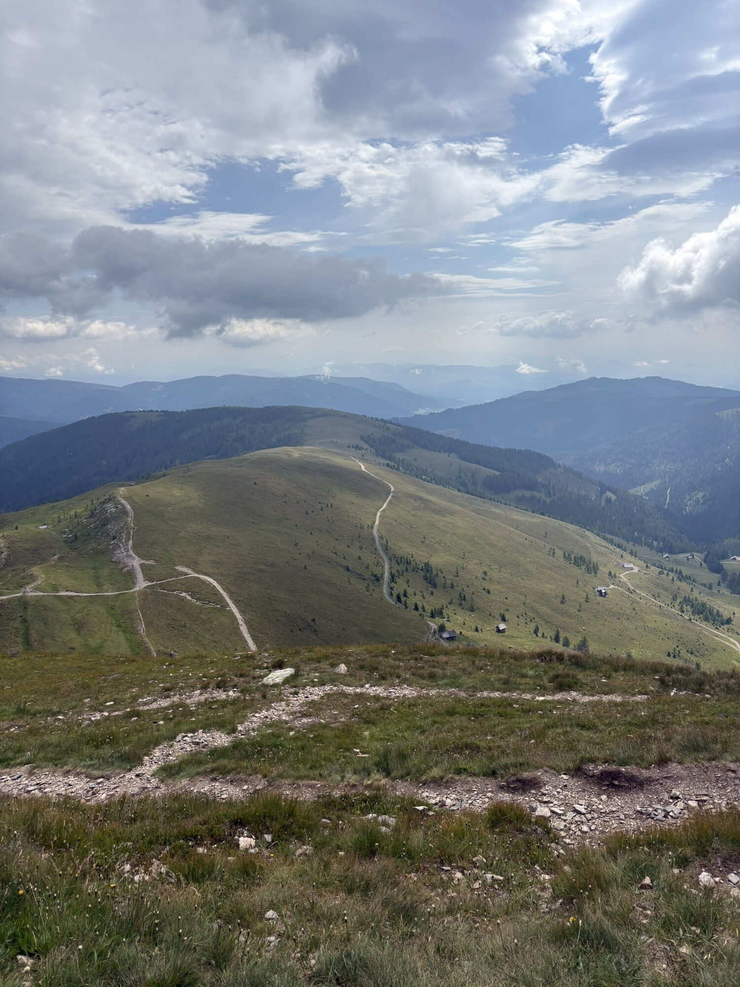
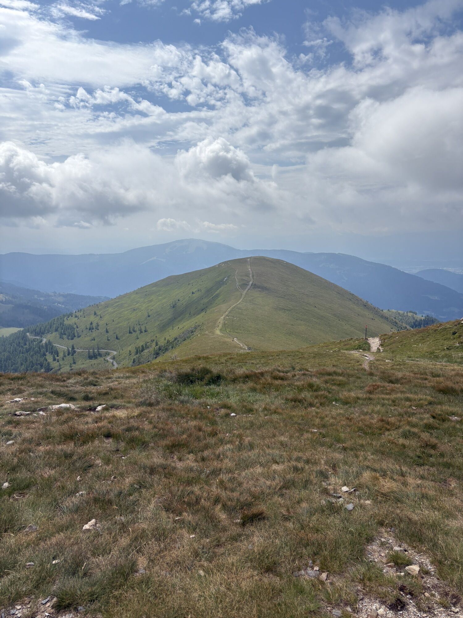
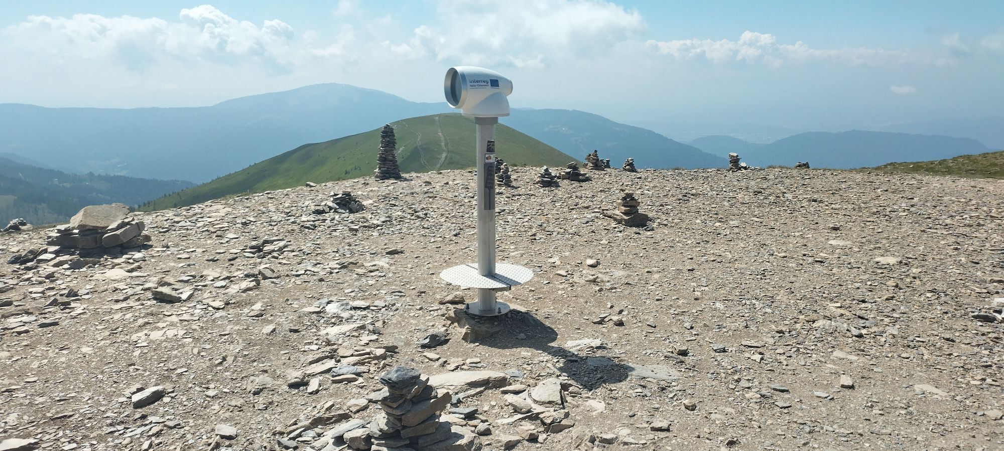
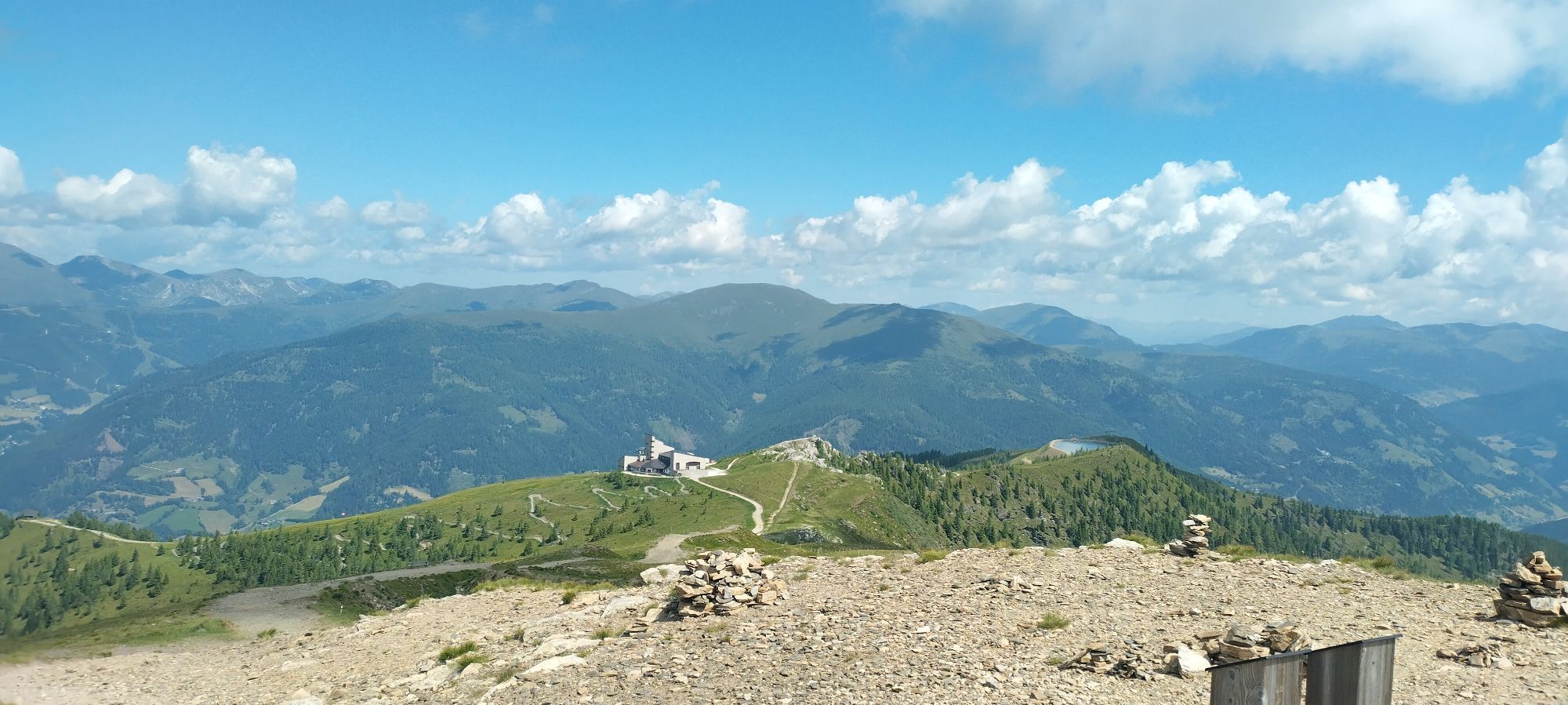
From the toll station comfortably higher on a flat forest path. From about 1500m the trail leads over open terrain and a wide ridge to the front Wöllaner Nock. Usually one is content with the Vorderer Wöllaner Nock.


The ascent takes place from the toll station along the flat mountain road to the north, which leads up to the Geigerhütte. After a few long hairpin bends, the ski tourer reaches beautiful alpine meadows at approx. 1550m above sea level after about 40-55min. Wahlweiße one leaves in direct line the driving way and climbs over the free surfaces past individual alpine huts to the north higher. Alternatively, follow the road to the next junction and then keep right. At the level of the fountain you leave the road to the north. Depending on your choice of lane, you will sooner or later reach the striking southern ridge of the Vorderer Wöllaner Nocks. After a small levelling at 1900m the ski tourer climbs the last 200m to the Vorderer Wöllaner Nock (2090m). If you like, you can also climb the Wöllaner Nock to the northwest after a short loss of altitude. The descent takes place via the ascent track.
LVS, probe, avalanche shovel, crampon
Below the Vorderen Wöllaner Nock watch out for snow slabs.
On the L 46 until the turn-off to Arriach. Up to the town centre and then follow the signs for Oberwöllan and there to the last farm by the toll road closed in winter.
Along the street in front of the mouse station individual parking possibilities.
The forest road is used in winter with a Schido. Therefore, after snowfalls wait a few days until the path is prepared.

Webcams del recorrido
Infórmate
Siempre en directo con más de 9.500 webcams. bergfex Como usuario Pro, ahora puede ver las webcams correspondientes a muchos tours en la app de tours desde. Esto le permite ver las condiciones actuales directamente.
Rutas populares en los alrededores
-
4,8
Schoberriegel - Schönebennock -
luzSenderismo 9,88 km -
4,7
Ruta de 4 cabañas
medioSenderismo 8,96 km -
5,0
Amberg: Palnock 1901m, Schwarzsee, Rundstrecke
medioSenderismo 7,94 km -
4,9
Nockbergrundwanderweg
medioSenderismo 6,62 km -
4,3
Cascadas de Finsterbach - Camino circular
medioSenderismo 3,87 km -
4,6
Falkertsee - Sonntagstal - Falkert
medioSenderismo 4,84 km -
4,7
Große Rosennock Runde
Senderismo 9,80 km -
4,8
St. Oswald - ruta circular - Mallnock - Klomnock
medioSenderismo 10,9 km -
4,7
Falkert, Murmelsteig B/C mit Direktem Abstieg
medioVía ferrata 3,61 km -
4,6
Carril bici del Millstätter See
medioCiclismo 27,7 km
Senderismo y rastreo


No se pierda las ofertas y la inspiración para sus próximas vacaciones
Su dirección de correo electrónico se ha añadido a la lista de correo.





