


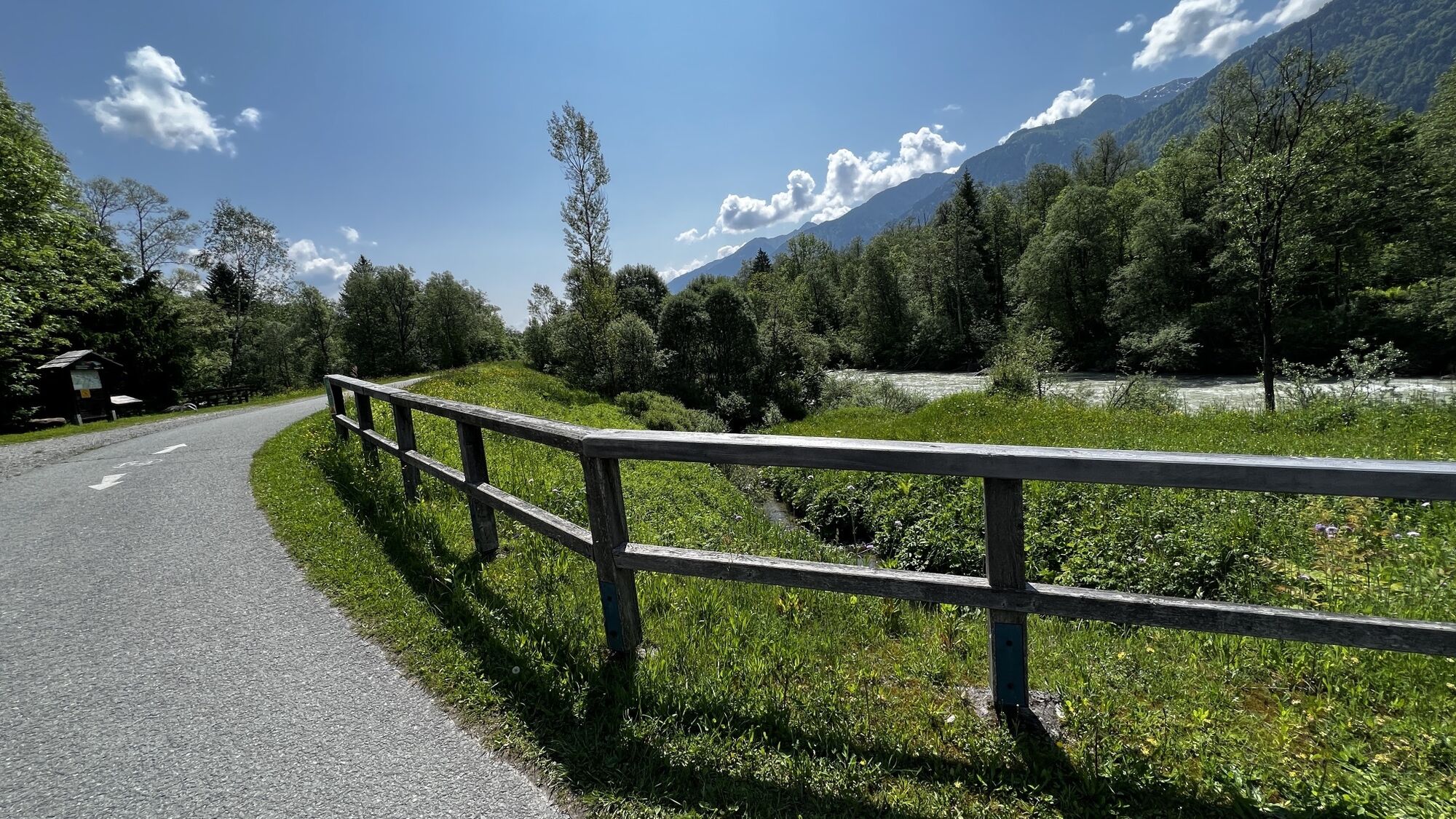
Grafendorf - Zollner Alm - Obere / Untere Bischof Alm - Untere Frondell Alm - Kronhof
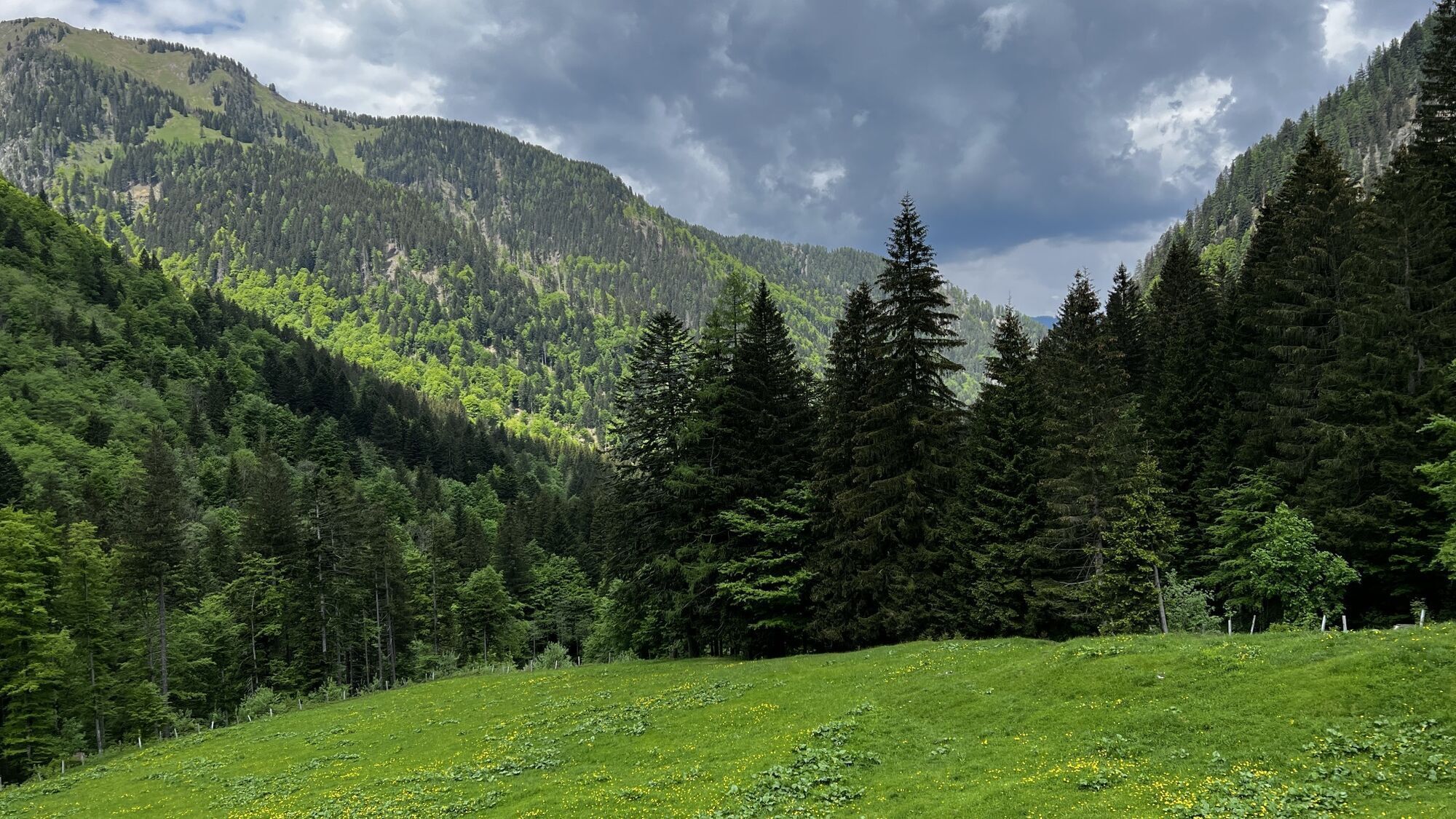

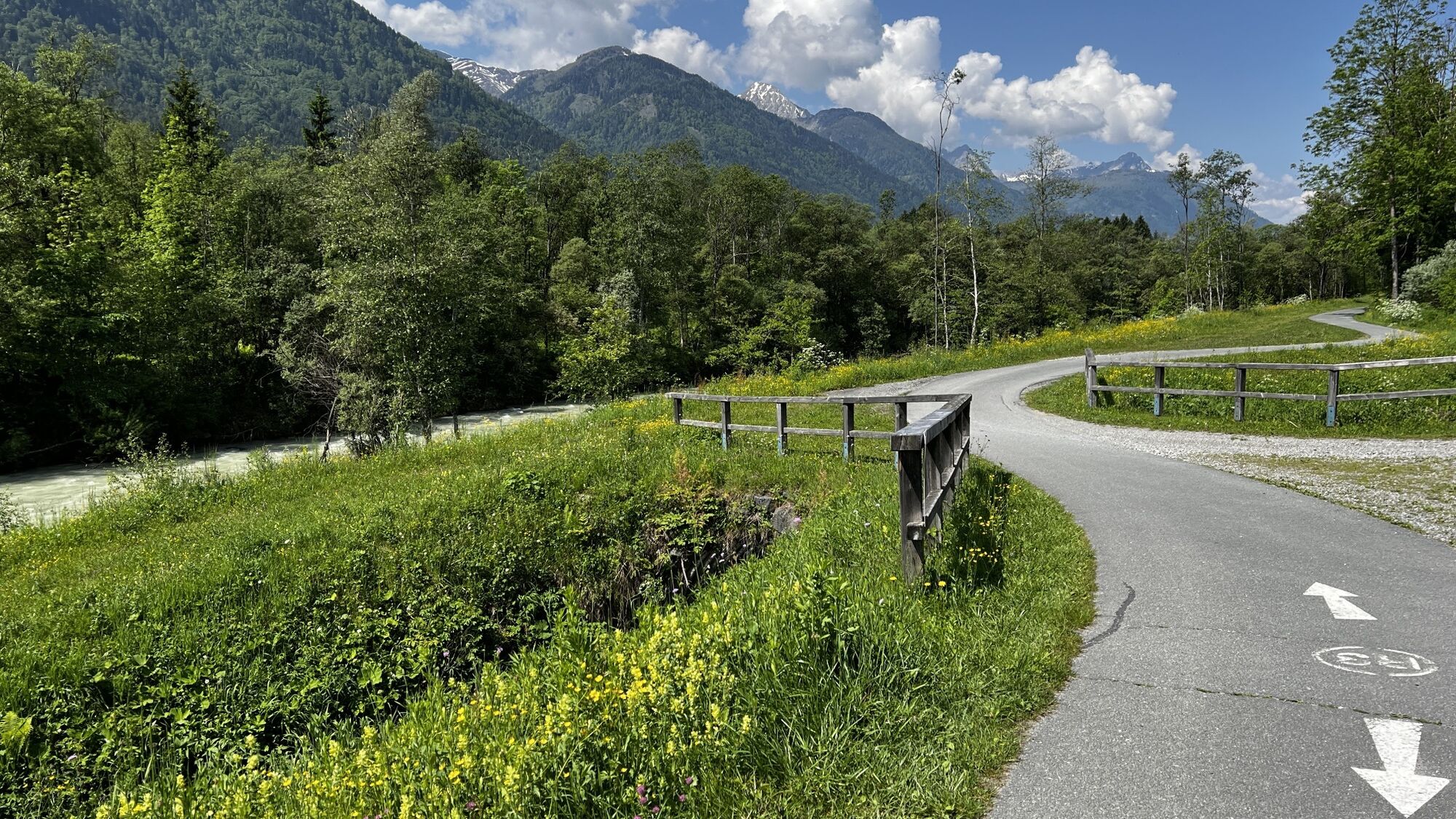
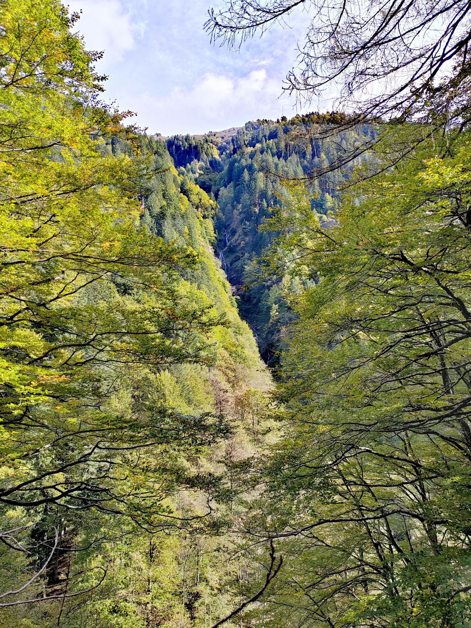
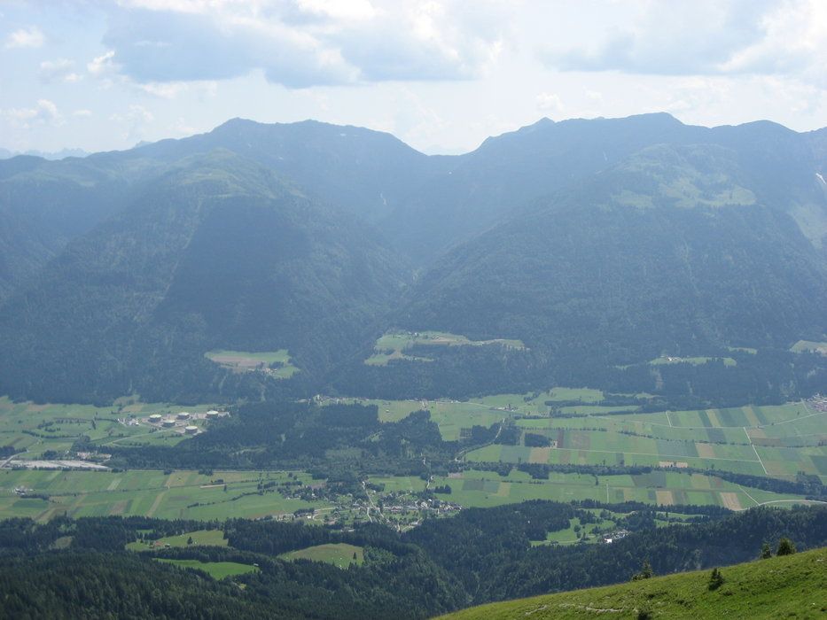
Über den Almweg rauf auf die Zollner Alm und dort zur Dr. Steinwender Hütte. Von dort aus kann man entweder über den Wandersteig oder den Karrenweg zur Oberen Bischofalm abfahren (hier wurde der Karrenweg...
Über den Almweg rauf auf die Zollner Alm und dort zur Dr. Steinwender Hütte. Von dort aus kann man entweder über den Wandersteig oder den Karrenweg zur Oberen Bischofalm abfahren (hier wurde der Karrenweg gewählt). Von der Oberen Bischof Alm kann man recht weitläufig über einige Serpentinen zur Unteren Bischof Alm abfahren. Die "Abkürzung" über den Wandersteig empfiehlt sich nach Auskunft vom Almwirt z.Z. aufgrund einiger Schäden am Weg/Wald durch die Lawinenabgänge vom letzen Winter nicht (werden wir aber sicherlich auch nochmals ausprobieren ;-)).
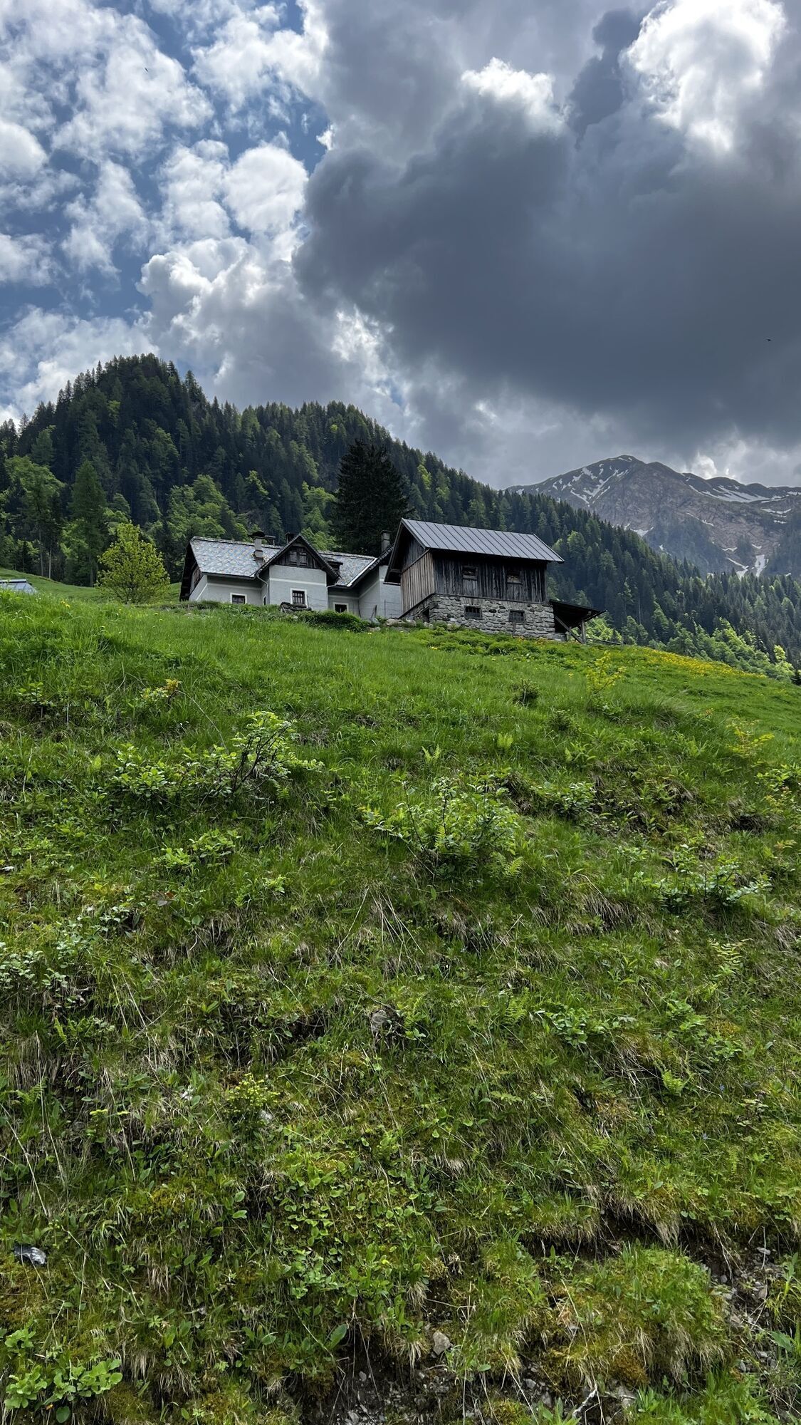
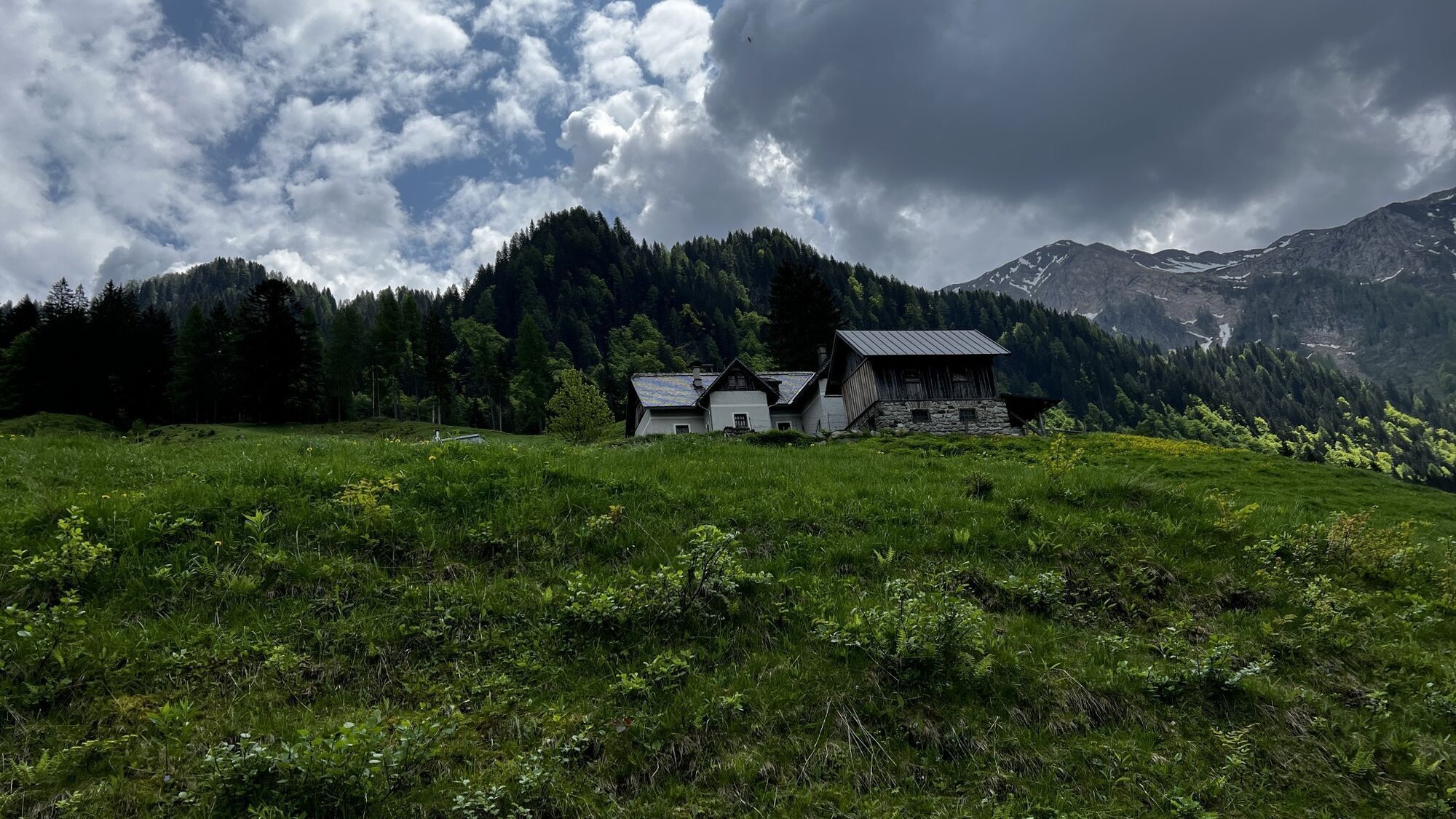
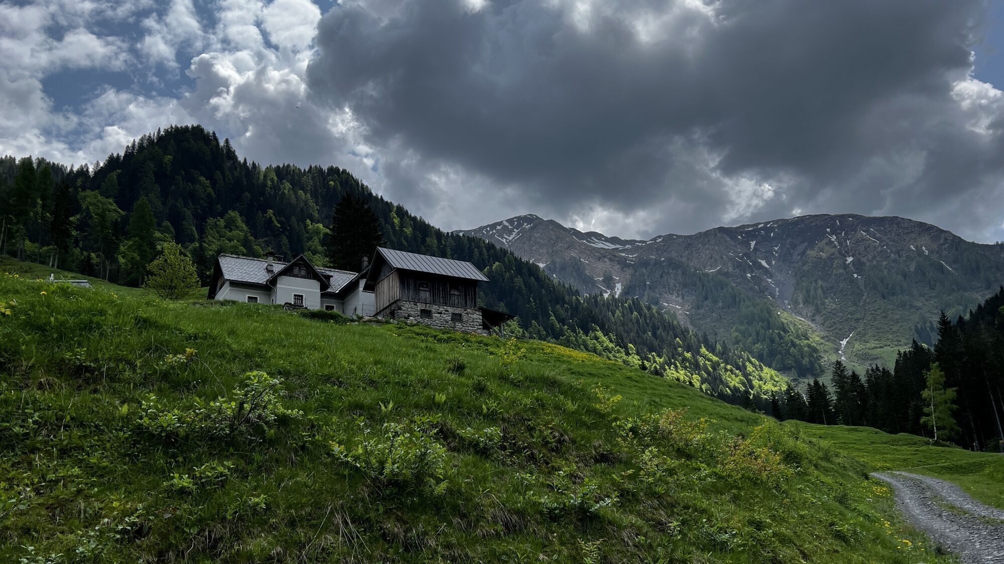
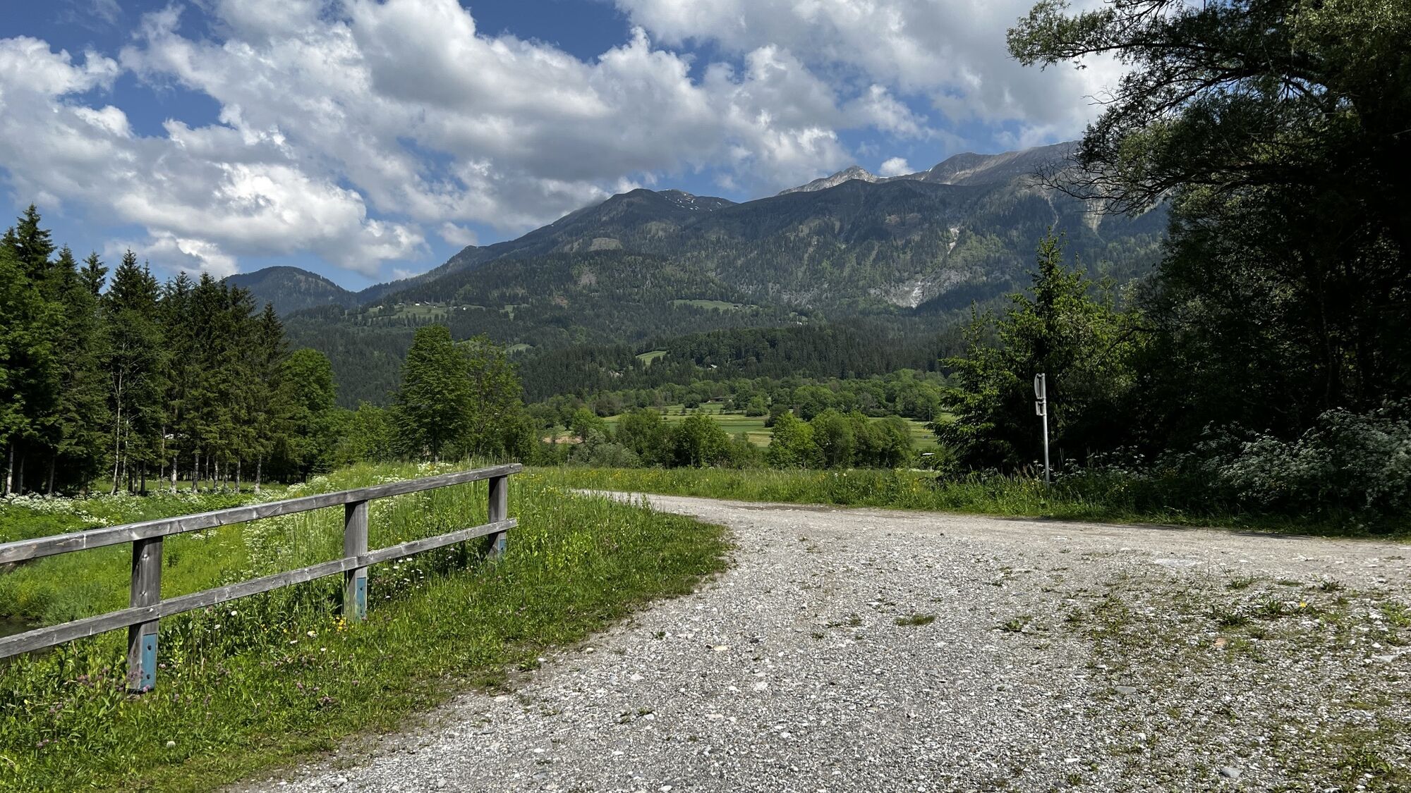
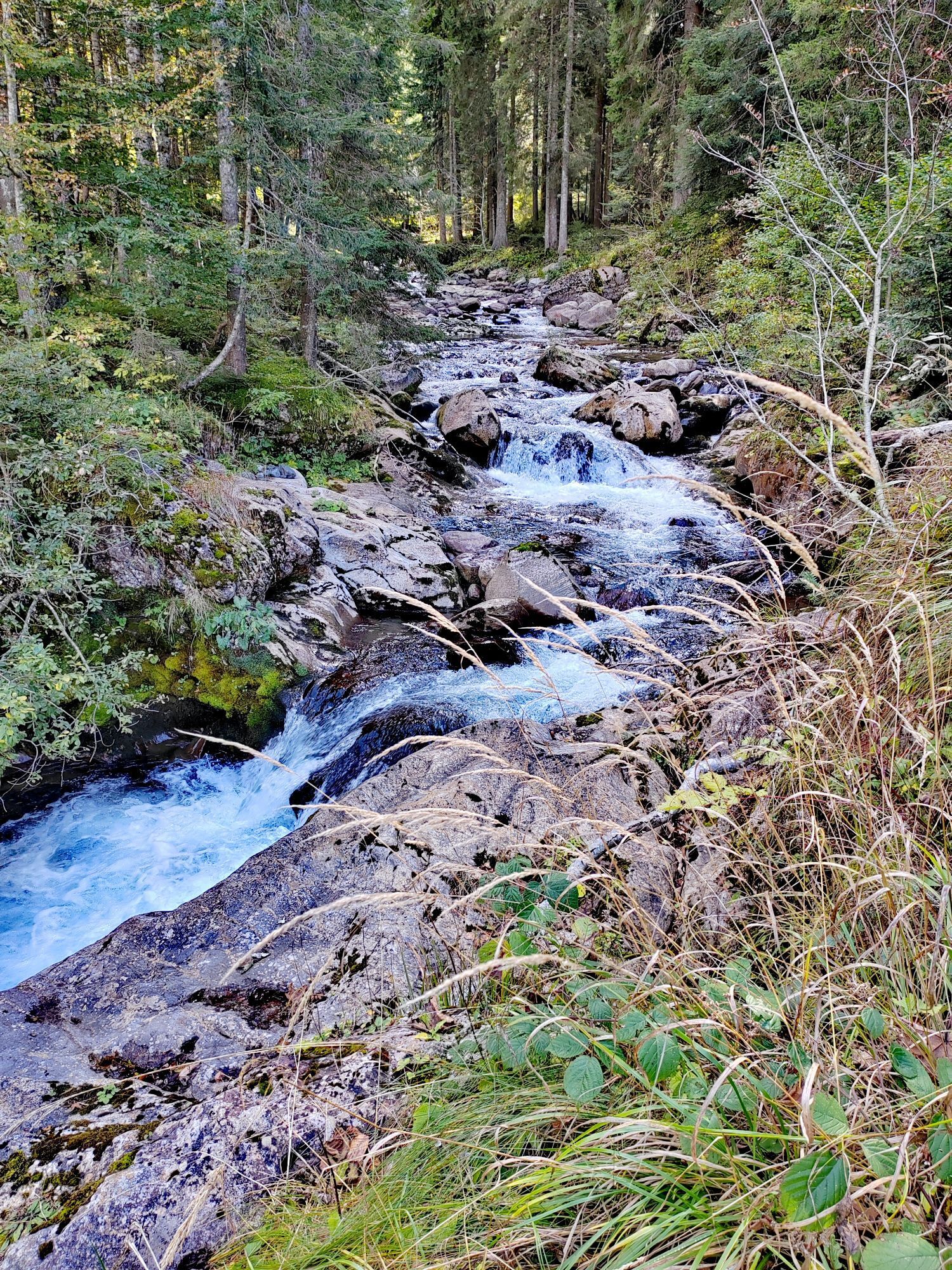
Bei der Jagdhütte der Unteren Frondell Alm angekommen empfiehlt sich noch ein Abstecher auf eine Jause rauf zur Großfrondell Alm. Bei der Abfahrt von der Unteren Frondell Alm in Richtung Kronhof kann man ca. auf halber Strecke von dem kurzen Zwischenanstieg, rechts auf den alten Weg abbiegen. Dort geht es dann durch den alten Hohlweg Richtung Tal. Der Hohlweg gabelt sich nochmals in einen noch schmaleren, älteren Weg. Dieser ist akuel jedoch nach ein paar Hangrutschungen nicht mehr befahrbar.
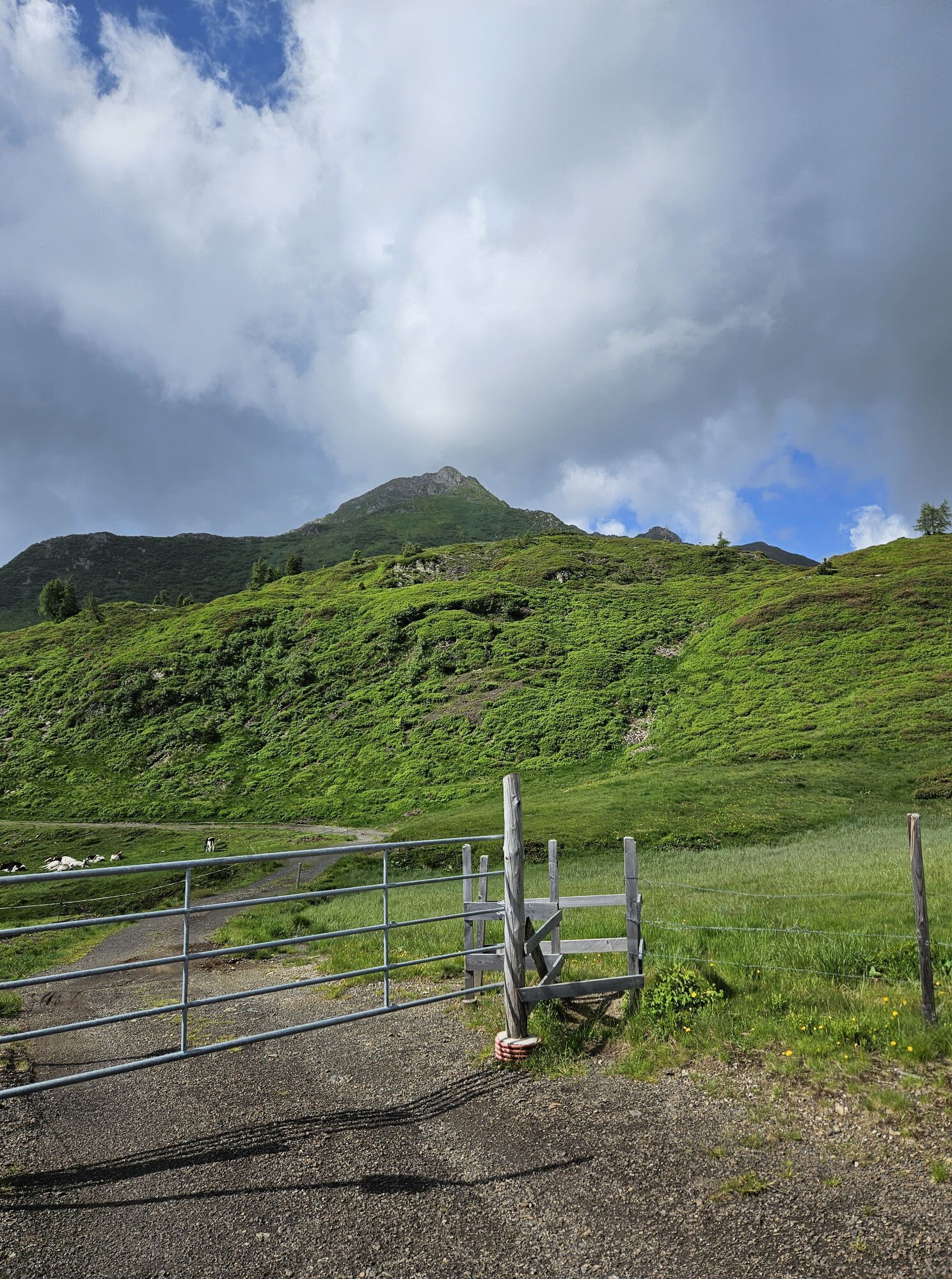
Beim Kronhof angekommen kann man auch wieder über einen alten Weg direkt nach Weidenburg abfahren, ohne dass man zurück auf die Straße muss.
Danke TuX für die Tour + Beschreibung

inklusive Oberer Frondell Alm
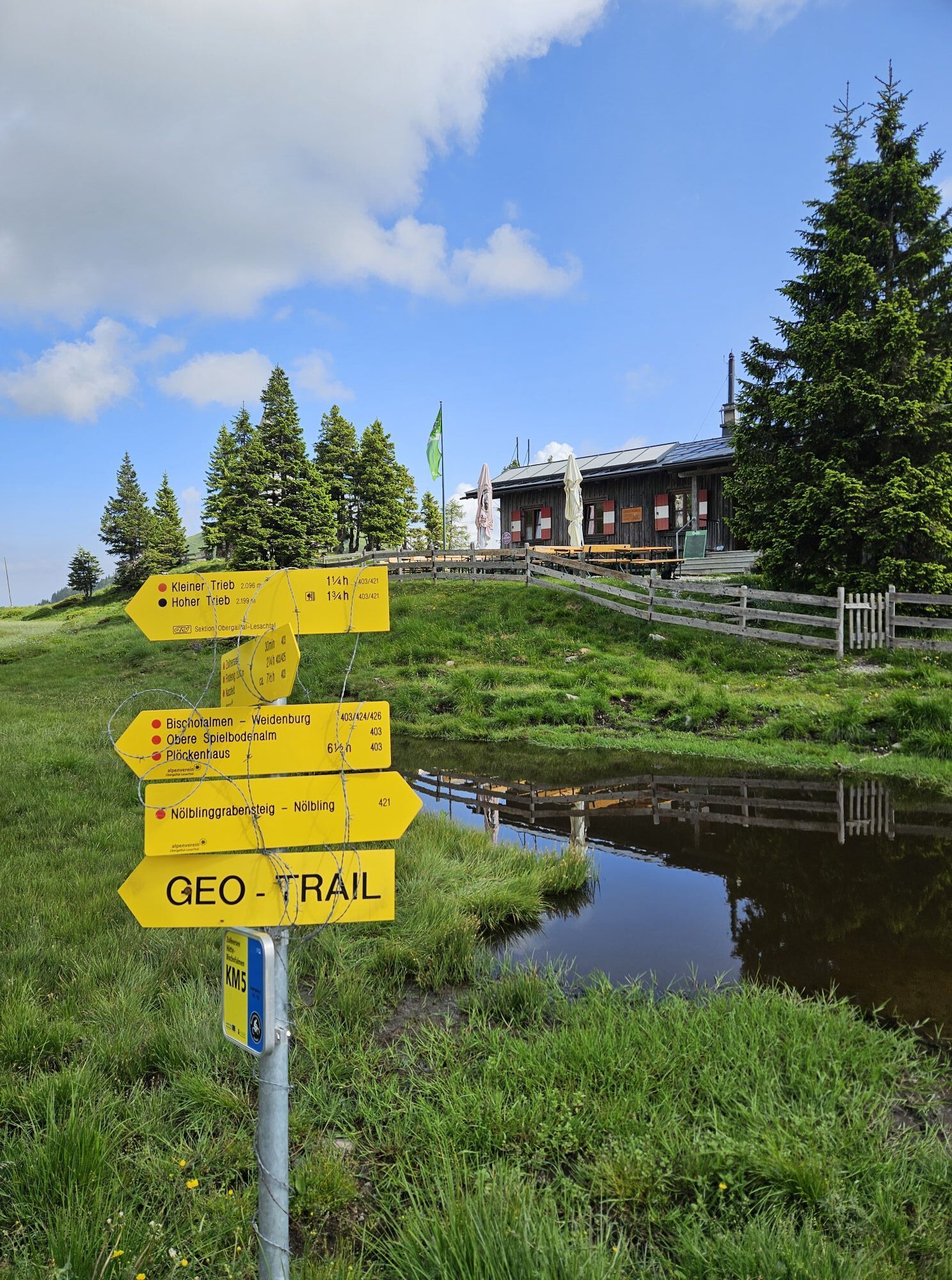
Obere Frondell Alm Öffnungszeiten beachten: www.frondell-alm.at
Abfahrt/Ziel Grafendorf im Gailtal
3/6
3/6
Rutas populares en los alrededores
-
4,9
Karnischer Hauptkamm - Hohe Warte 2.780m - Hike and Bike
pesadoSenderismo de montaña 19,5 km -
3,7
Cellon-Stollen und Senza Confini auf den Cellon und Steinberger Weg zum Abstieg
medioVía ferrata 7,09 km -
3,6
RW_N61 Kleine Pal (1.867 m)
pesadoSenderismo 6,52 km -
5,0
Valentin-Wolayersee-Runde
medioSenderismo 12,4 km -
4,3
WW_N18 paraíso de flores Mussen
medioSenderismo 6,52 km -
5,0
Plöckenhaus - Polinik - Plöckenhaus
pesadoSenderismo 10,9 km -
4,5
KL_N5 Crete Rosse
medioVía ferrata 6,96 km -
4,5
03 Südalpenweg, 24. Etappe: Valentinalm - Wolayerseehütte
medioSendero de largo recorrido 9,63 km -
5,0
Möselalm - Weißbriach/Gitschtal
luzSenderismo 5,12 km -
5,0
Frischenkofel
medioSenderismo 5,25 km
Senderismo y rastreo


No se pierda las ofertas y la inspiración para sus próximas vacaciones
Su dirección de correo electrónico se ha añadido a la lista de correo.