


Die Milchstraße am Karnischen Höhenweg - ET02 Zollnersee Hütte - Straniger Alm
Fotos de nuestros usuarios
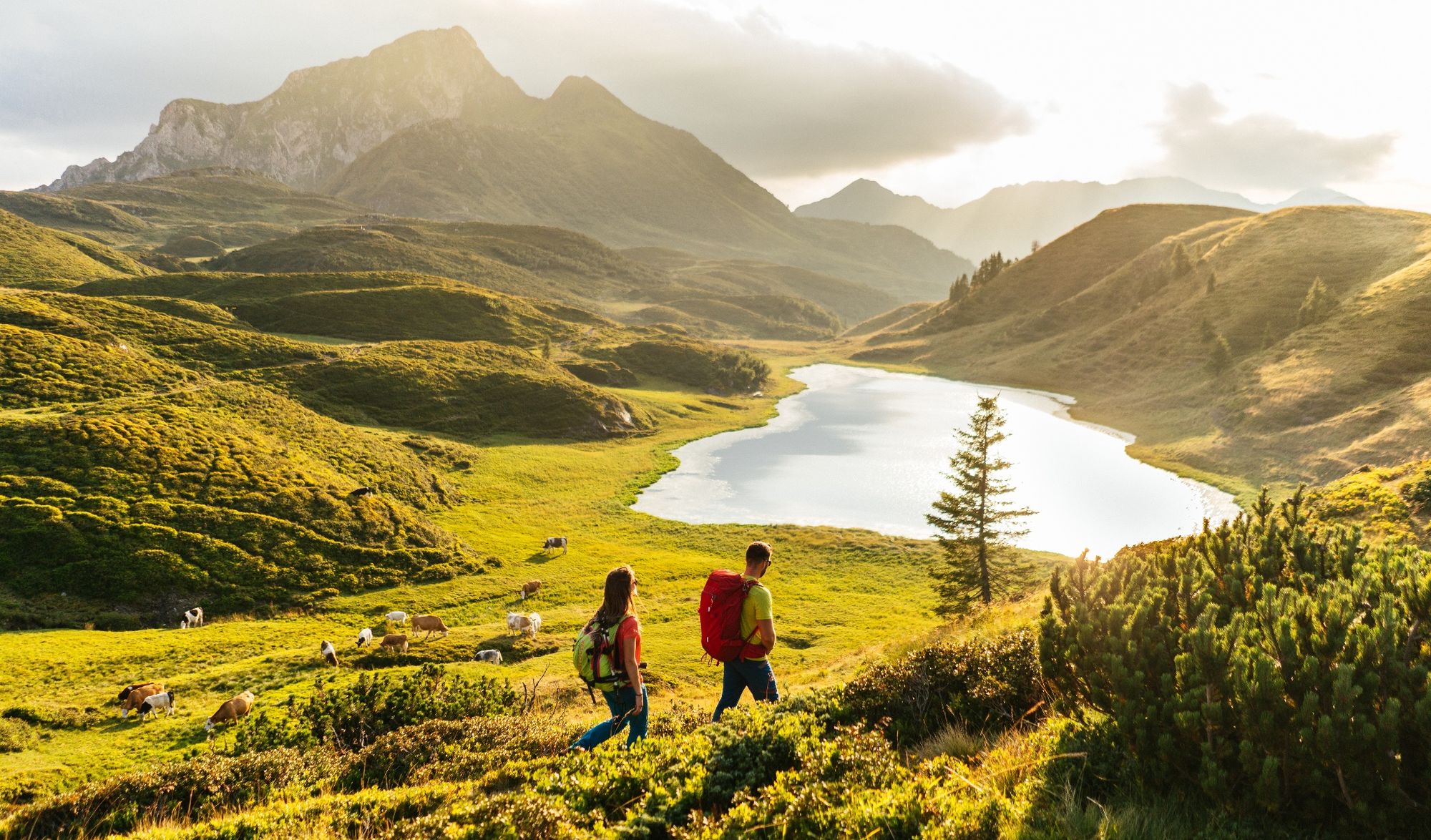
The Carnic Alps - an adventurous and fantastic mountain landscape, which is offered to the hiker. Above, ridges of peaks like bizarre limestone reefs that seem to rise directly from an invisible sea, and...
Each cauldron has its own story, but all cauldrons together are mysteriously connected with their own and common stories: Like the stars on the Milky Way, the alpine pastures are strung together along the Karnischer Höhenweg: The cauldrons, alpine pastures and mountains thus form a special Milky Way, namely the Carnic Milky Way. The picture of the Carnic Milky Way is completed by the "constellations".


You start a few meters on the previous stage towards Rattendorfer Schneid and keep right at the turnoff. Follow this hiking trail until you reach a crossroads near a hunting lodge. Keep to the left here and follow the hiking trail up to the wide saddle of the Rattendorfer Schneid and don't follow the hiking trail along the crest, but take a short loop over the Lanzenboden, the lovely alpine pastureland above the Lanzenalm. At a crossroads keep to the right - the left path offers a detour via the "constellation" hike "Red Planet" down to the managed Lanzenalm (additional time needed for the return 50 min) - and return in a loop to the Karnische Höhenweg between the ring wall and the miniature peak Cima di Lanza.
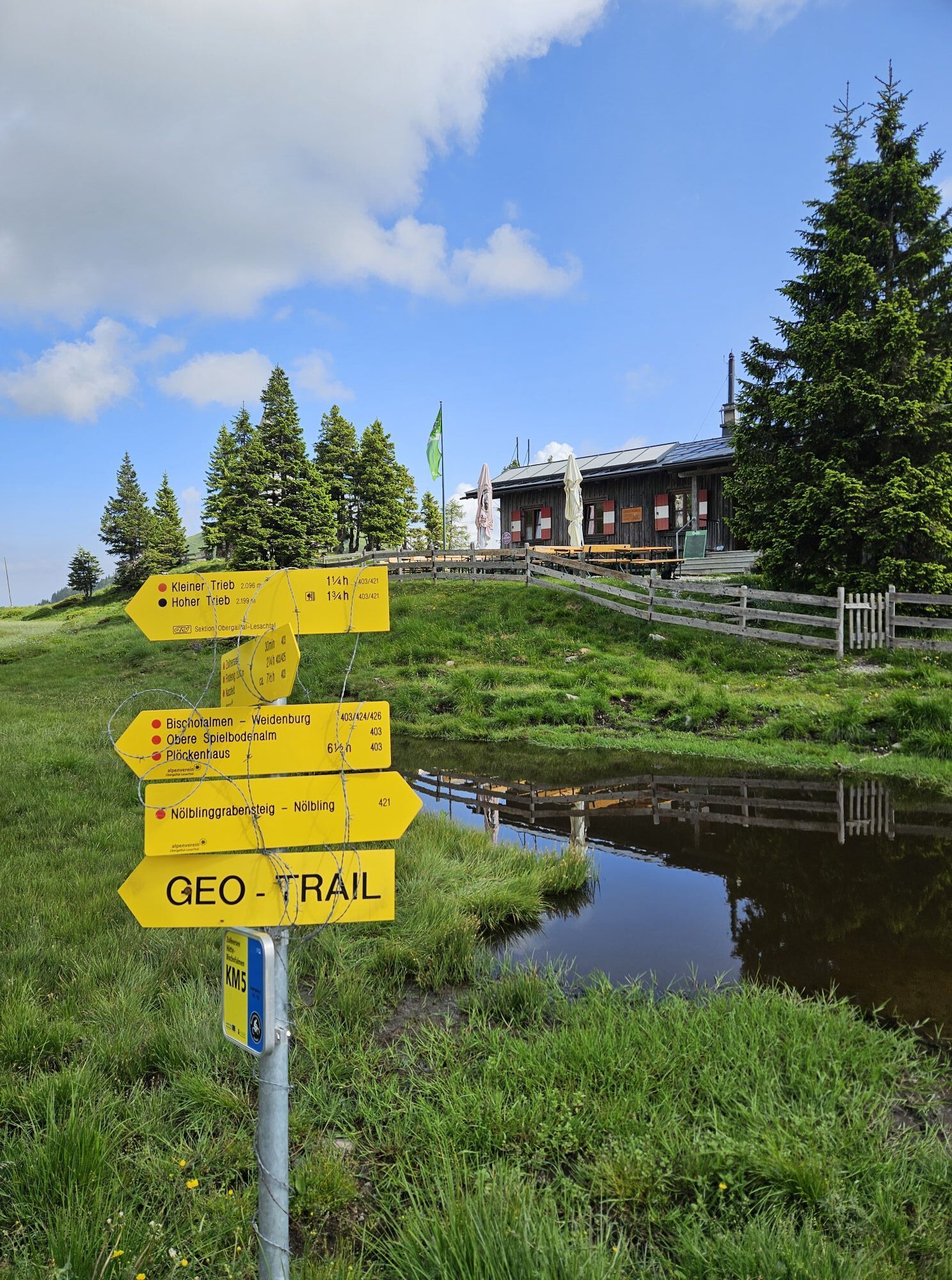
Now on a very nice path below the wall and the Schulterkofel to a ridge between Straniger Kopf and Schulterkofel. Go down to a cross and turn right (north) until you reach the small peak of the Gugel, where you will find a fantastic geological panorama. Turn left and follow the Karnischer Höhenweg KHW 403 over a forest road to the farmed Straniger Alm. If you want to strengthen yourself then this is the ideal place.
After a rest you choose the right of the two uphill hiking trails (KHW 403) and walk along it up to a crossroads.
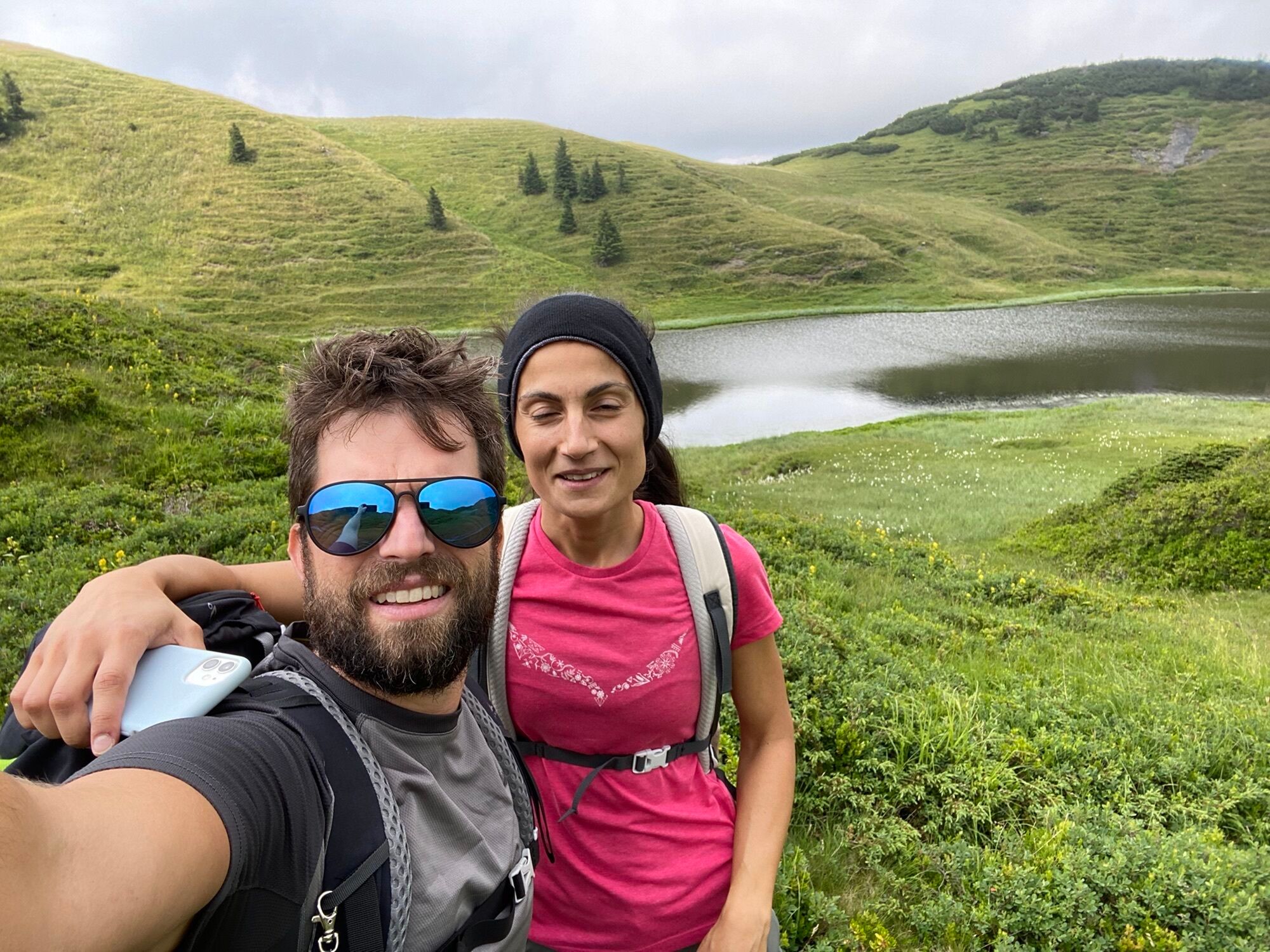
Here you have the option to turn right as described below. At the original path of the Carnic Milky Way, however, you choose the left path at the crossroads above the Straniger Alm and shortly afterwards the left hiking path again, leaving the Karnischen Höhenweg. You ascend via the less pronounced Lodintörl to the summit of the Findenigkofel and cross it in succession on a beautiful crest. At the Lodinutpass you leave the crest and soon reach a crossroads with the Karnischen Höhenweg. You turn left into this path and soon you are walking through hilly terrain along the southern shore of the unbelievably idyllically situated Zollnersee.
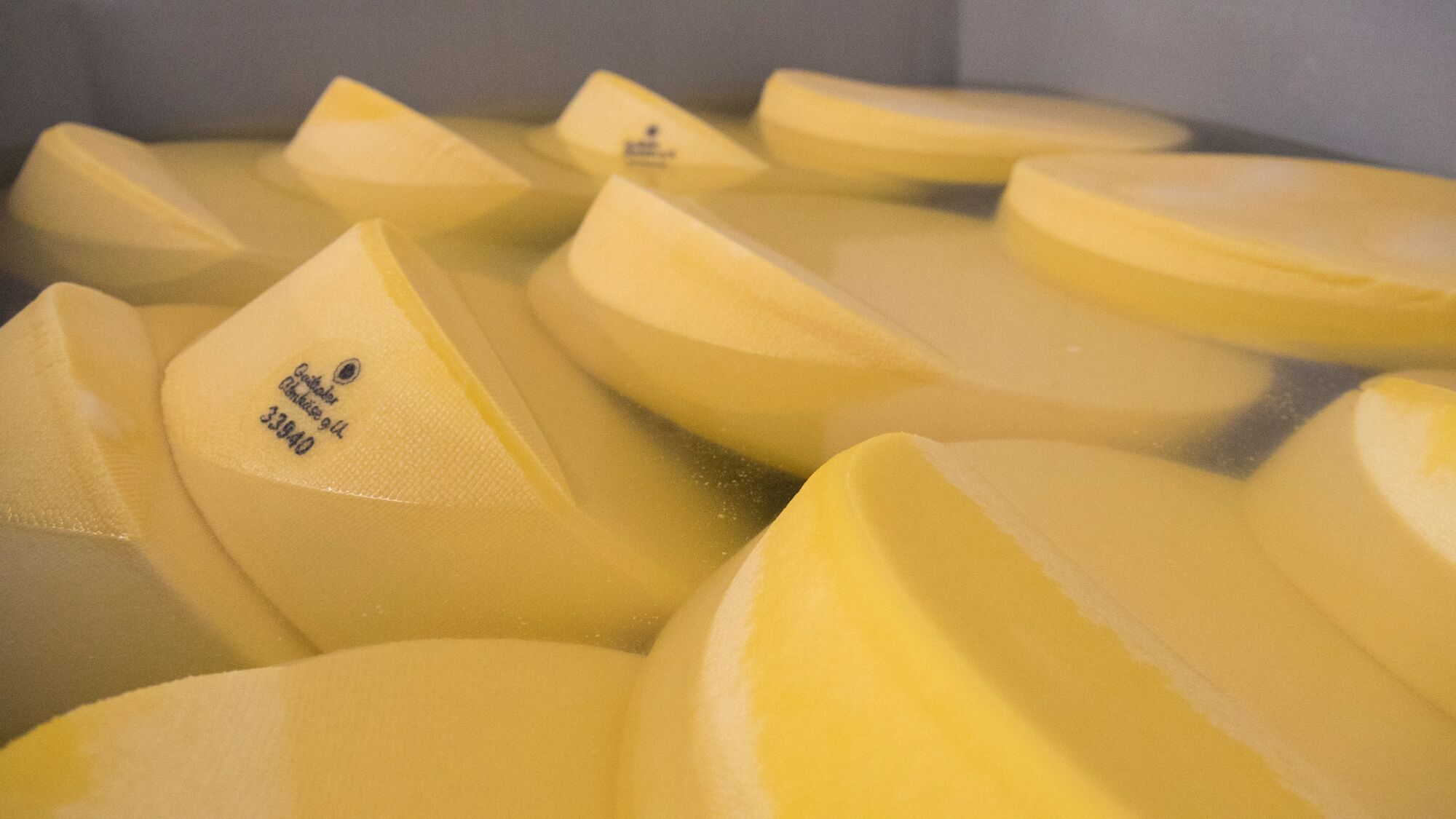
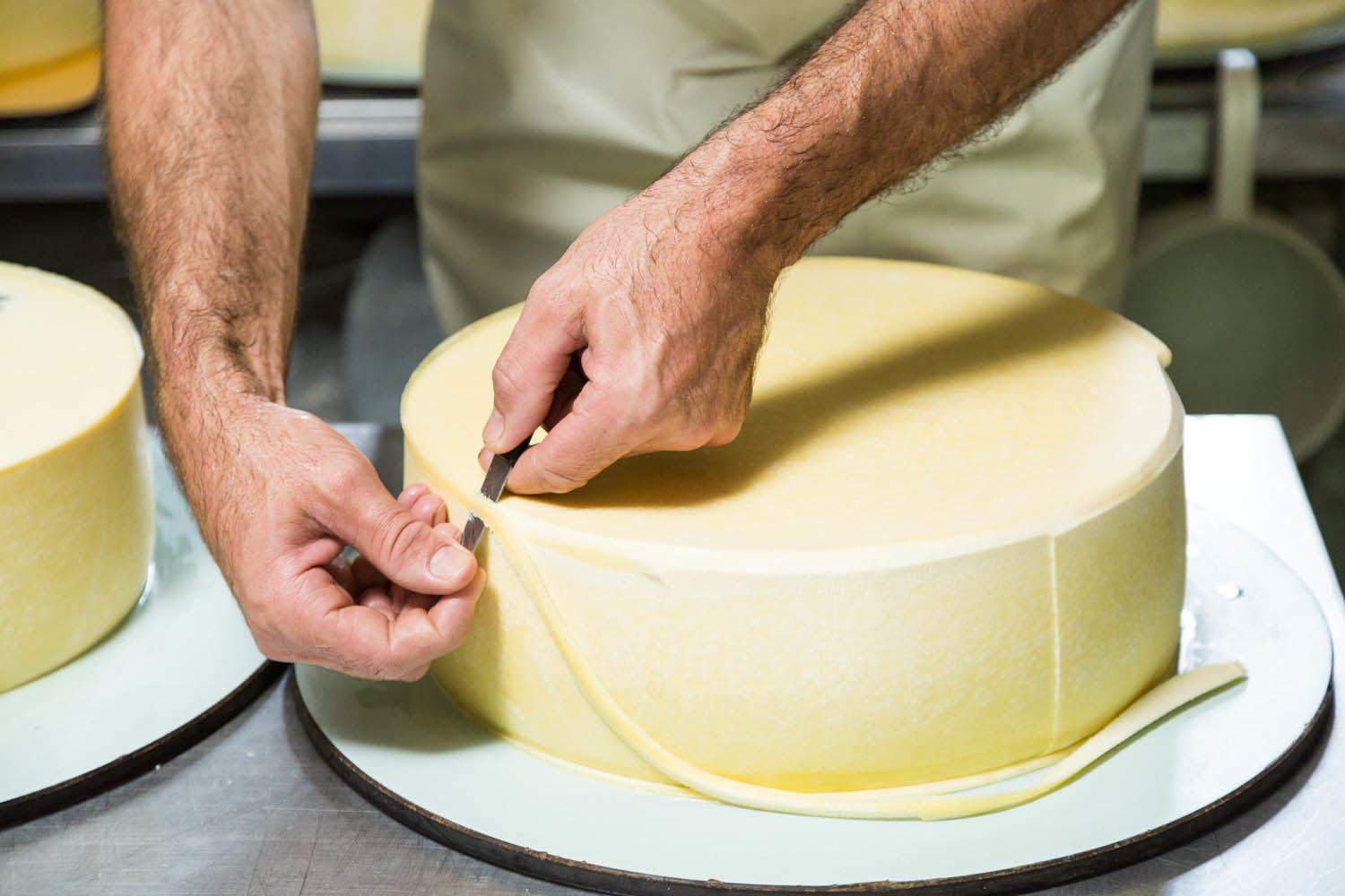
At the above mentioned crossroads above the Straniger Alm you have the alternative to hike a variant via the Waidegger Alm and Achornacher Alm to the Zollnersee. It is not as scenic as the main route, but you will get to see more of the alpine life in the Carnic Alps. So you choose the right way here, which will bring you to a forest road shortly. Here you hike on the left side to the farmed Waidegger Alm and then on the forest road to the also farmed Achornacher Alm - you are quasi in the "core zone" of the famous Gailtaler Alm cheese.
Shortly after the Achornacher Alm you leave the forest road and ascend on a hiking trail to the Ochsenalm. Now ignore the alpine road and follow the hiking trail south until you reach the crossroads just before the Zollnersee. Here you meet the main variant again and hike as described above over it (and the KHW 403) past the Zollnersee to the Zollnersee Hut.
Sí
Click here for the detailed equipment list of your trail trip.
All stages run on mountain paths with a red dot, so they are classified as moderately difficult mountain paths according to the classification of the Alpine Club. >> see here.
By definition, paths categorized in red are "predominantly narrow, often steep and can have passages that are dangerous to fall. There may also be short insured walking passages (e.g. wire rope)".
Even if the terrain does not present any major technical difficulties, you will still often move above the tree line in an alpine region with altitudes of up to 2,200 m. You should therefore have alpine hiking experience for the Carnic Milky Way, have orientation skills for finding your way and be able to deal with the dangers of sudden changes of weather in the mountains.
The Carnic Milky Way is more demanding in terms of stamina: individual stages have ascents of up to 1,000 meters in altitude, descents of up to 1,400 meters in altitude and/or 20 km of trails. This means pure walking times up to 7 hours per day. As always, the walking times are calculated with the (however, quite fast) Outdooractive formula. Therefore, an appropriate physical preparation is recommended.
For children, the Carnic Milky Way is suitable from 12 years of age with good physical condition.
Long-distance hiking and trekking routes are little or not suitable for people with reduced mobility due to their requirements. In order to clarify individual cases (degree of reduced mobility), it is recommended to contact the Trail Info & Booking Center before booking.
More information about the classification of the trails and the technical and conditional preparation of the tour can be found here.
Arrival shuttle service - not included in the price: Brings you to the starting point of your trail journey and at the end of the tour back to the ideal train station or airport. The Trail Info & Booking Center will gladly organize this shuttle service.
Airplane: The following international airports can be recommended for travel by plane - Klagenfurt and Ljubljana.
With your own car: Parking is available at the respective starting points of the trail tour. Detailed information is included in the booking documents. Most of the parking spaces are free of charge and not monitored! The return transport will bring you back to your car.
On these day hikes you can immerse yourself deeply into the history, nature and culture of the hiked landscape.
Rutas populares en los alrededores
-
4,1
Malurch Nassfeld
medioSenderismo 9,60 km -
3,7
Cellon-Stollen und Senza Confini auf den Cellon und Steinberger Weg zum Abstieg
medioVía ferrata 7,09 km -
5,0
Möselalm - Weißbriach/Gitschtal
luzSenderismo 5,12 km -
3,6
RW_N61 Kleine Pal (1.867 m)
pesadoSenderismo 6,52 km -
4,5
KL_N5 Crete Rosse
medioVía ferrata 6,96 km -
4,7
ST_N9 Madritschen (1.918 m)
Esquí de travesía 2,71 km -
5,0
Frischenkofel
medioSenderismo 5,25 km -
Karnischer Höhenweg – Etappe 5: Wolayersee Hütte - Zollnersee Hütte
pesadoSendero de largo recorrido 23,9 km -
4,5
WW_N15 Lanz - Jukbichl
medioSenderismo 9,86 km -
3,8
Oberst Gressel Klettersteig (C/D)
medioVía ferrata 3,17 km

Senderismo y rastreo


No se pierda las ofertas y la inspiración para sus próximas vacaciones
Su dirección de correo electrónico se ha añadido a la lista de correo.