






The Carsus Trail, Stage 4: Štanjel – Sesljan
Nivel de dificultad: T1
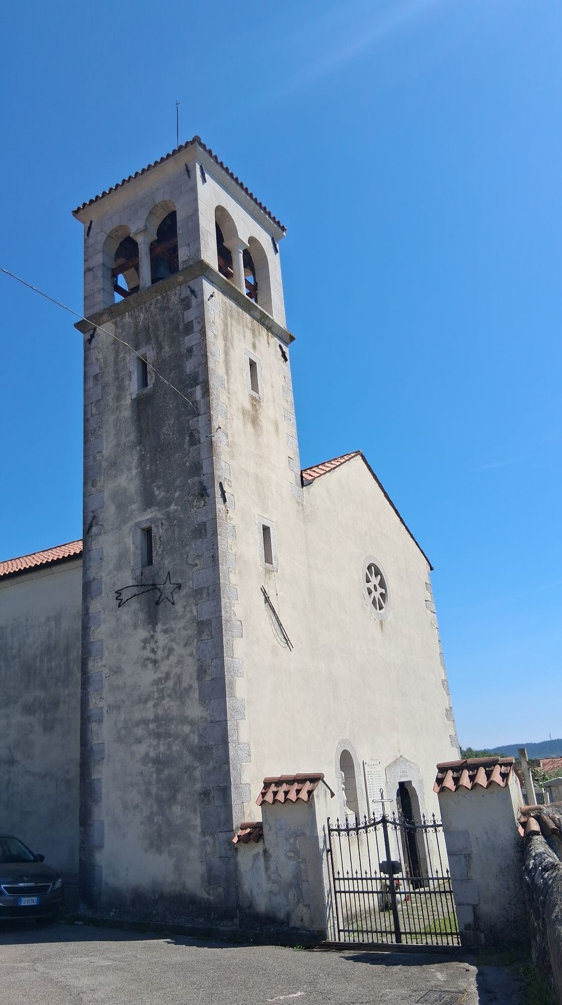
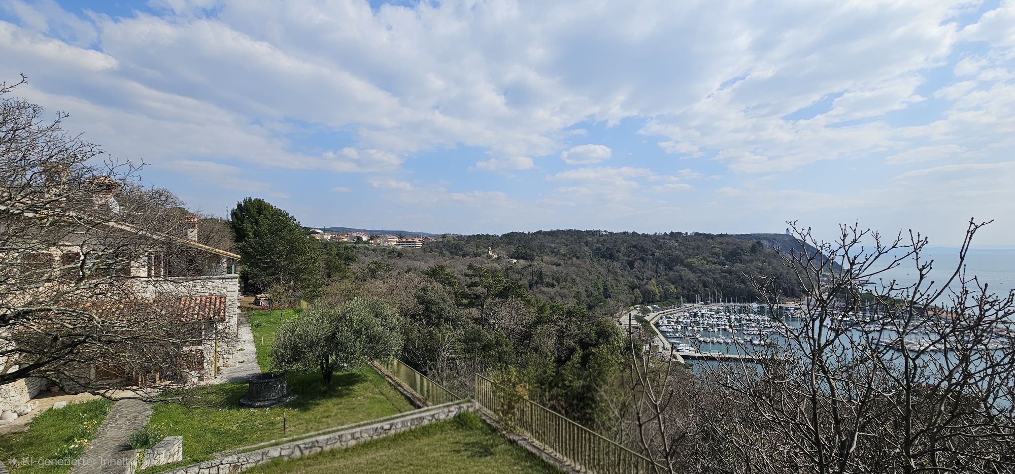
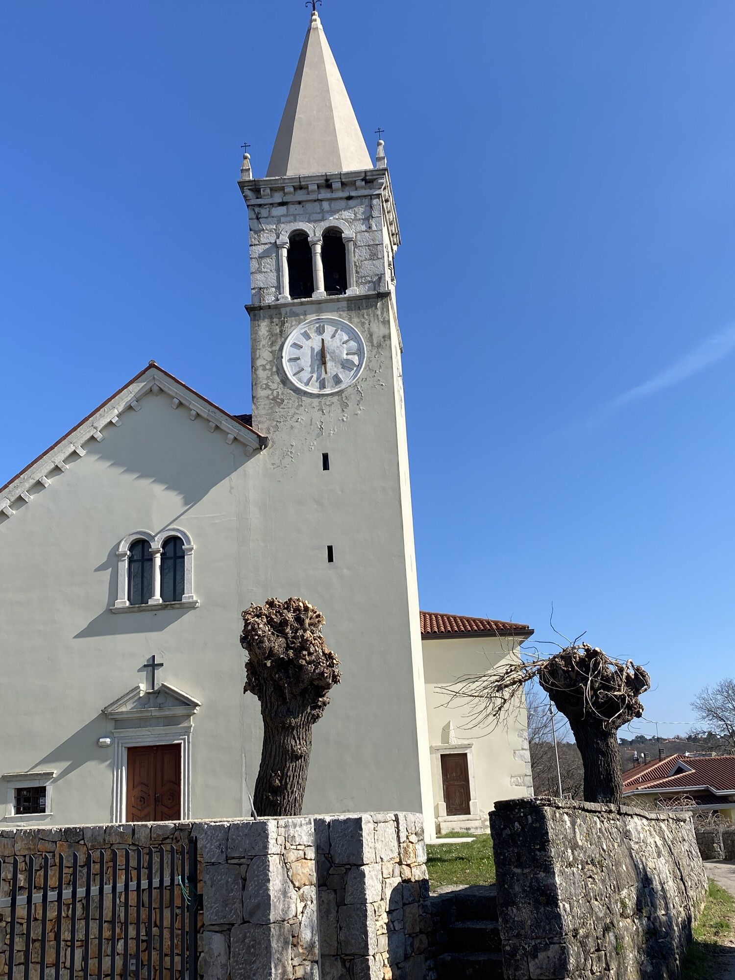
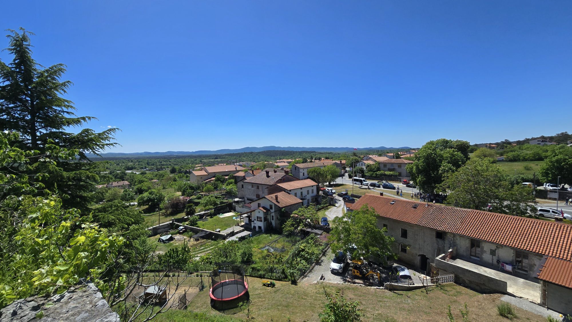
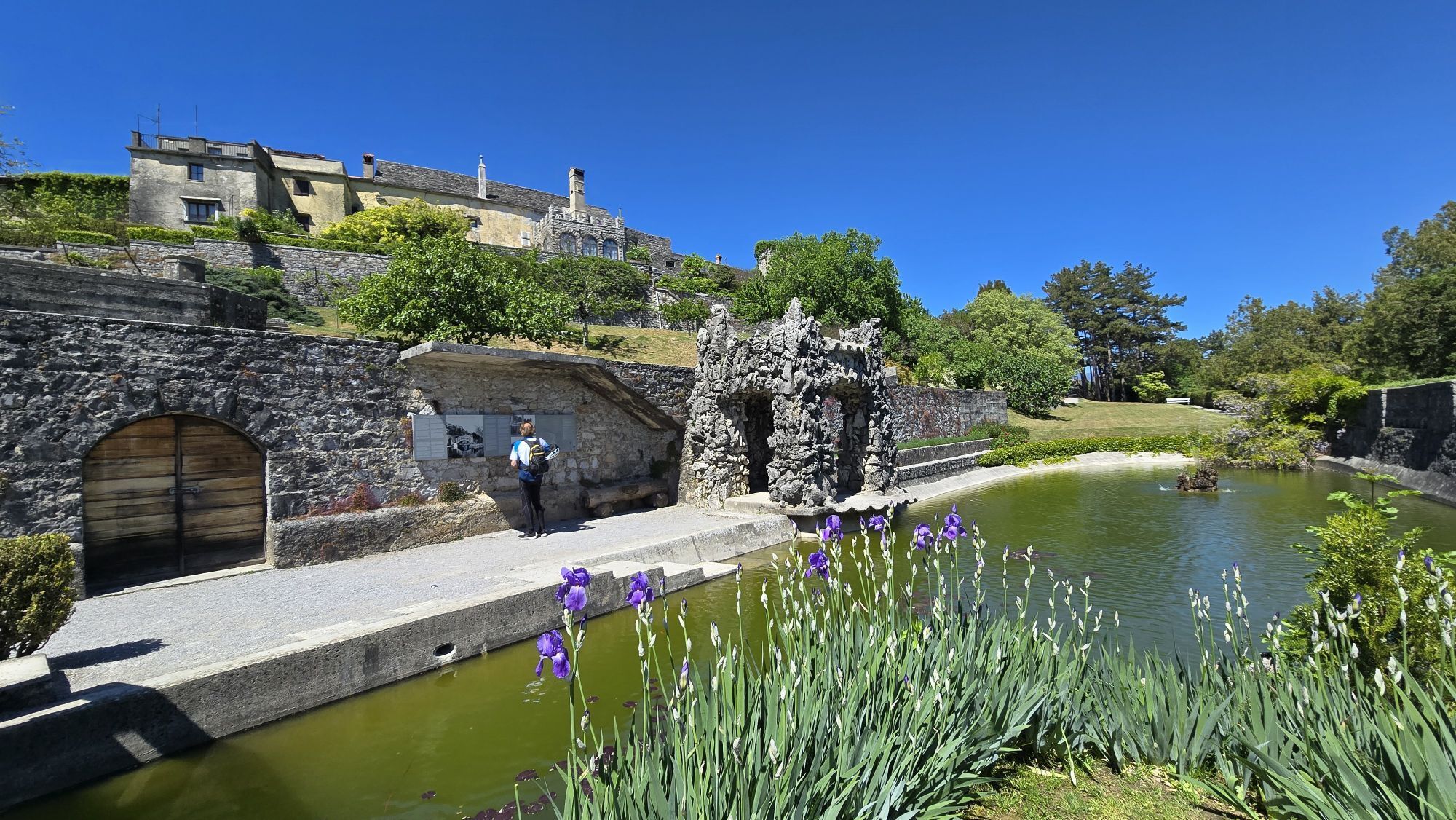
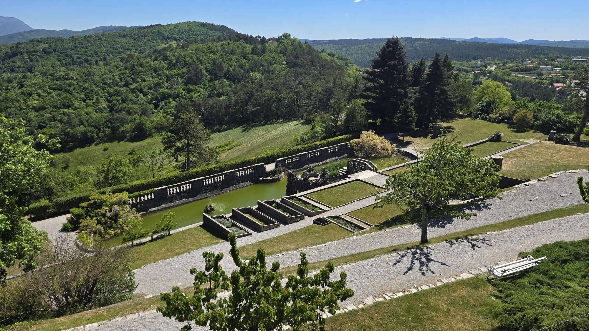
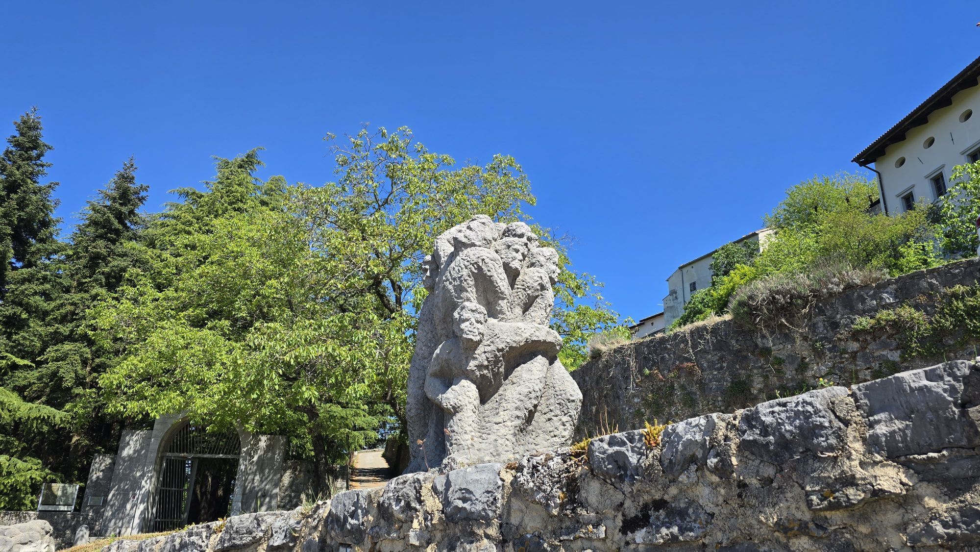
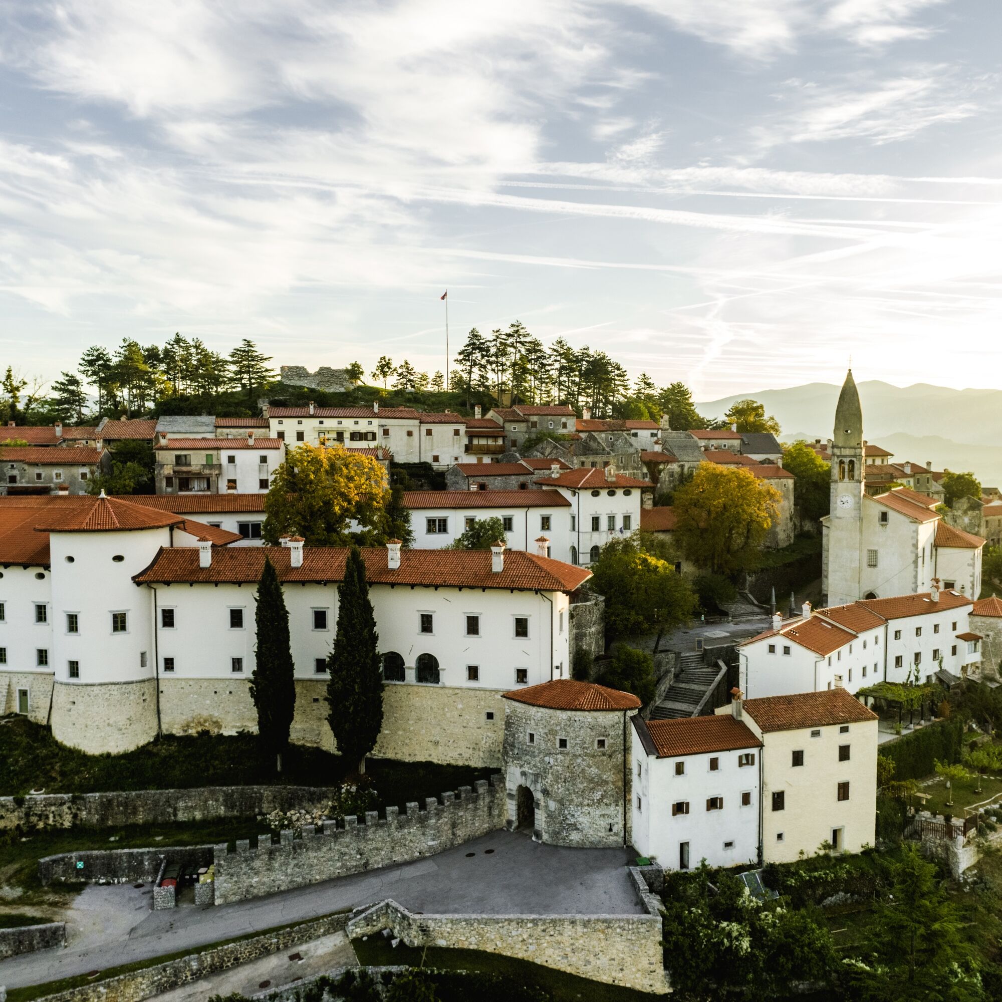
The fourth stage of the Carsus Trail from Štanjel to Sesljan / Sistiana may seem ordinary to local people, but for anyone coming from outside, it is a true experience. You could easily spend a whole day...
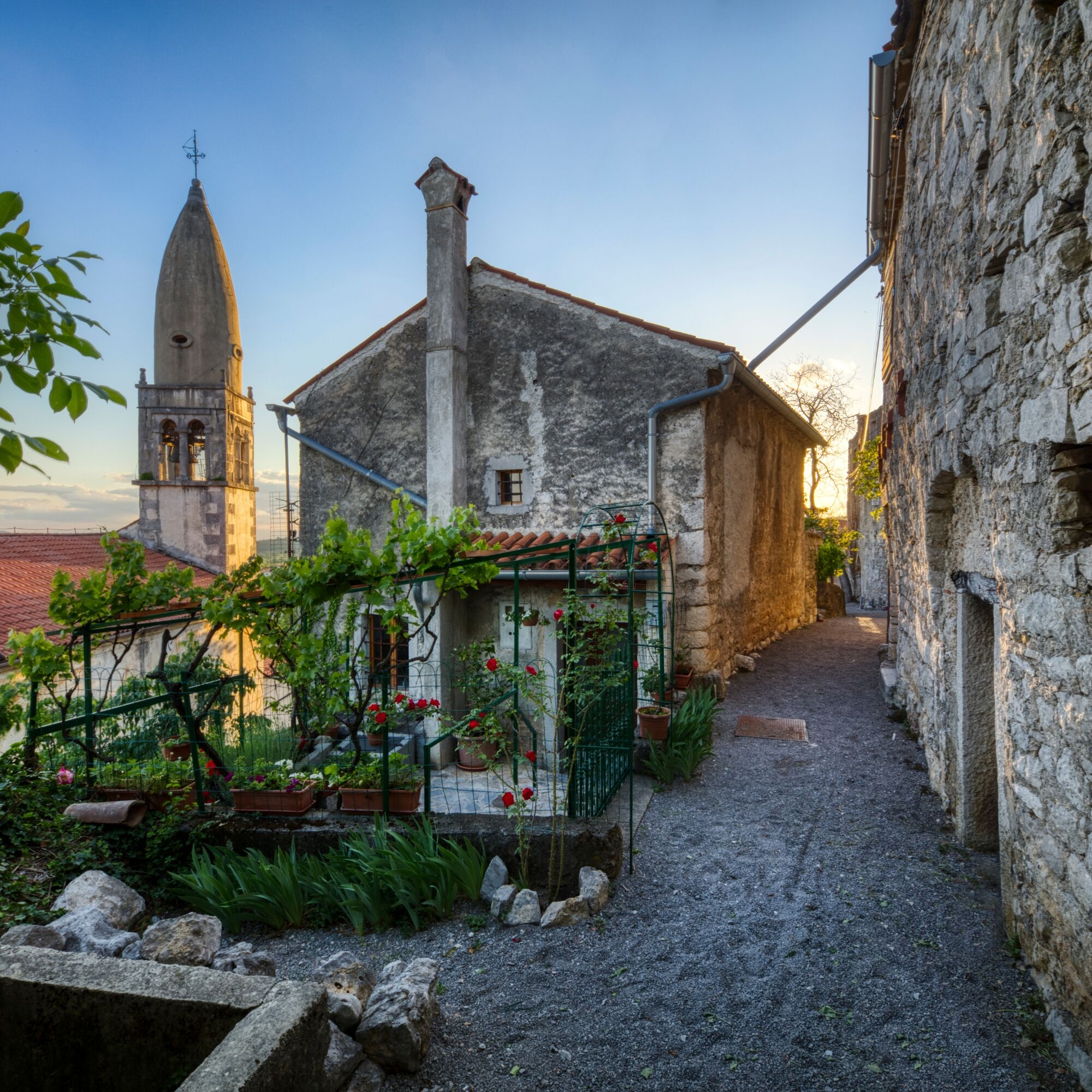
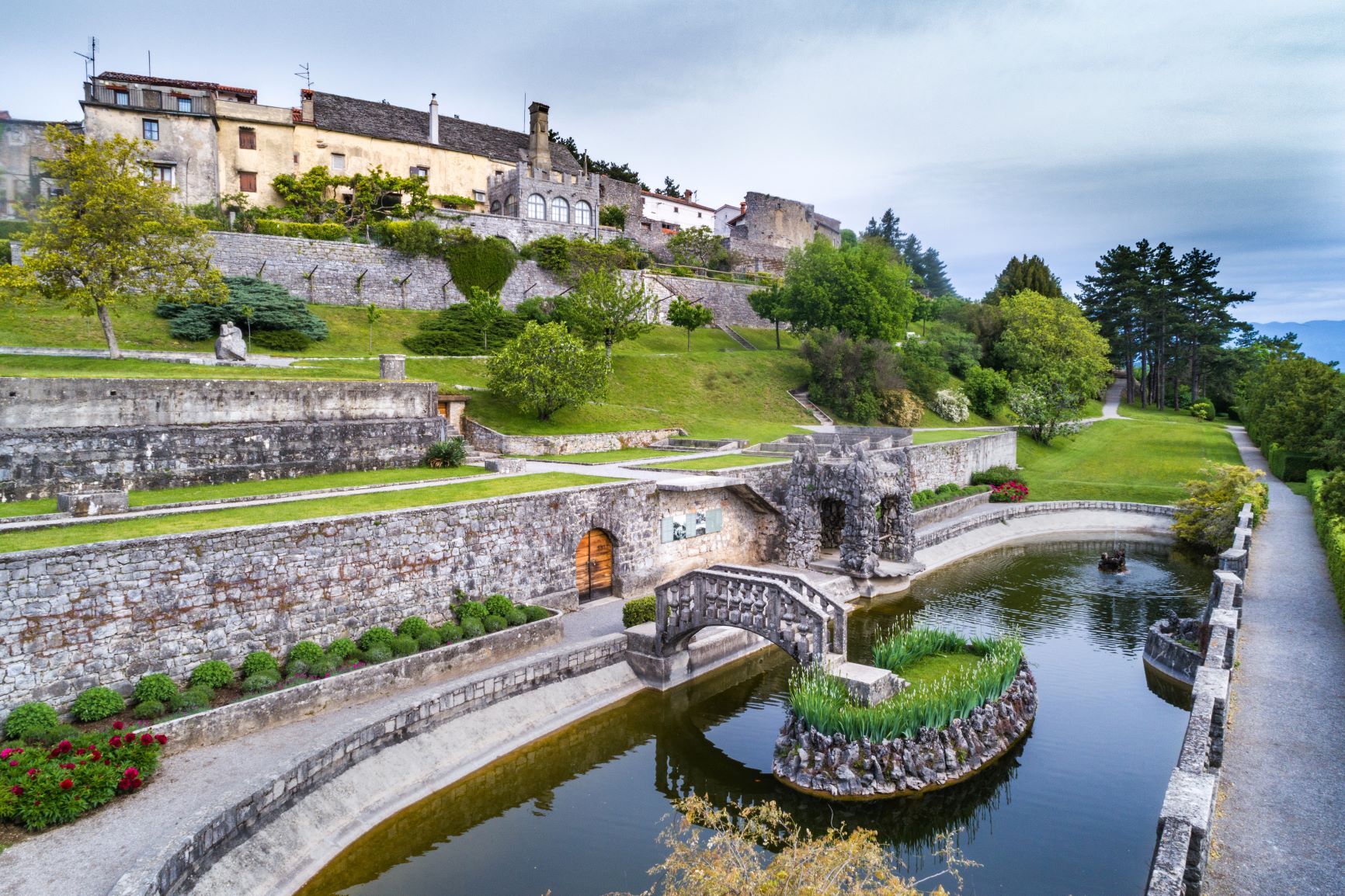
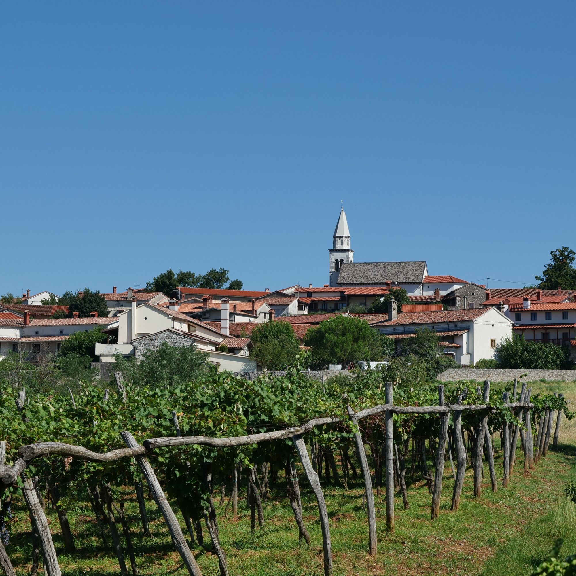
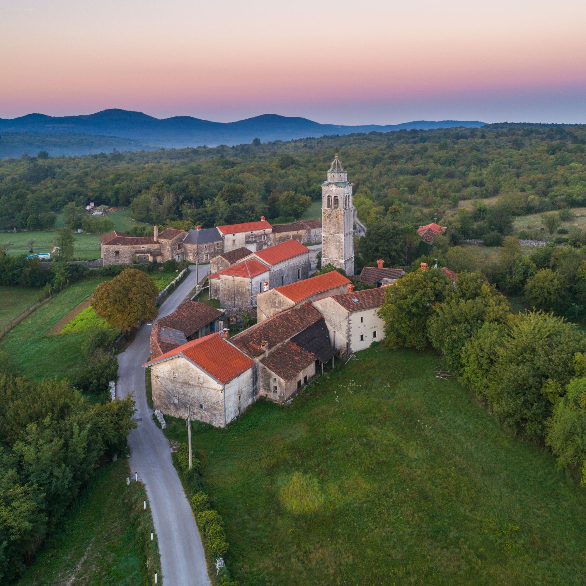
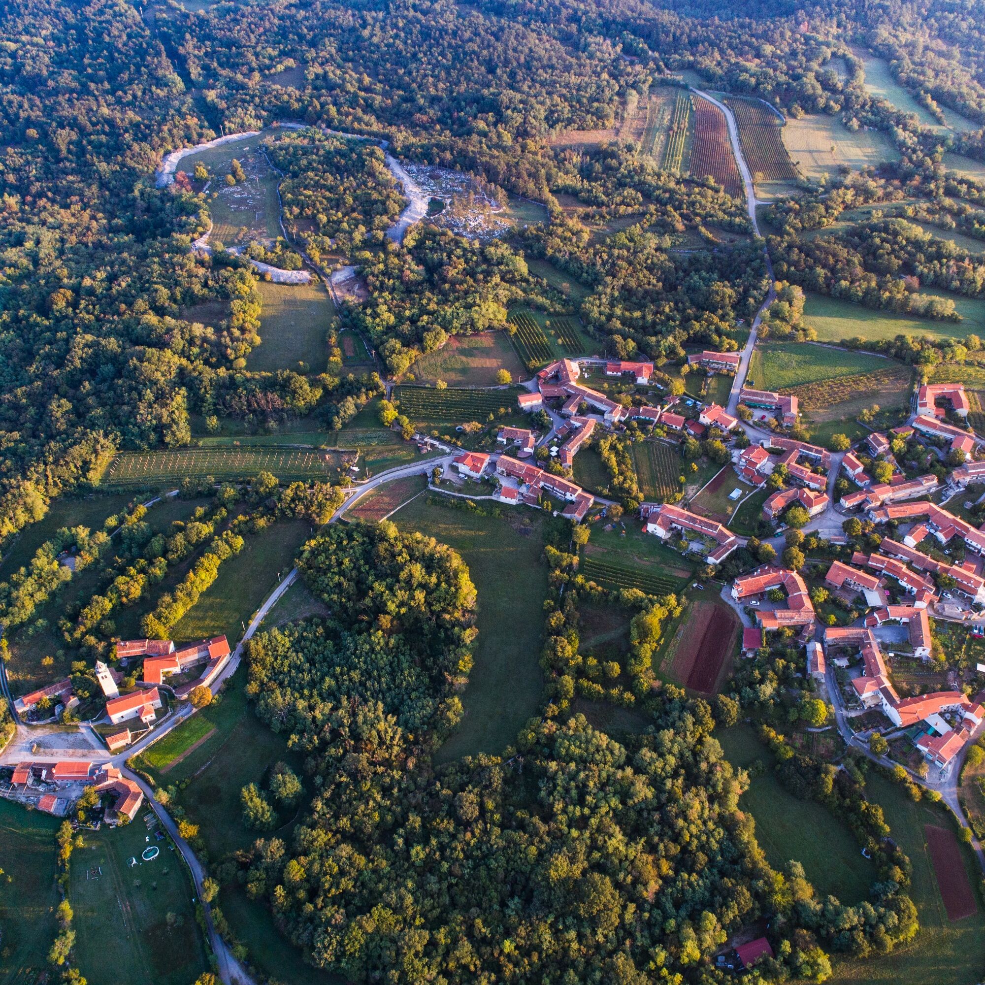
One after another, karst villages appear on the slopes of low hills, set against green forests: Kobdilj, Hruševica, TupelÄe, Kobjeglava, Gabrovica, VolÄji Grad, Nadrožica, Brje, San Pelagio / Šempolaj, Slivia / Slivno and finally Sesljan / Sistiana. The last three lie in Italy. All of them are beautiful and full of fine examples of local karst architecture.

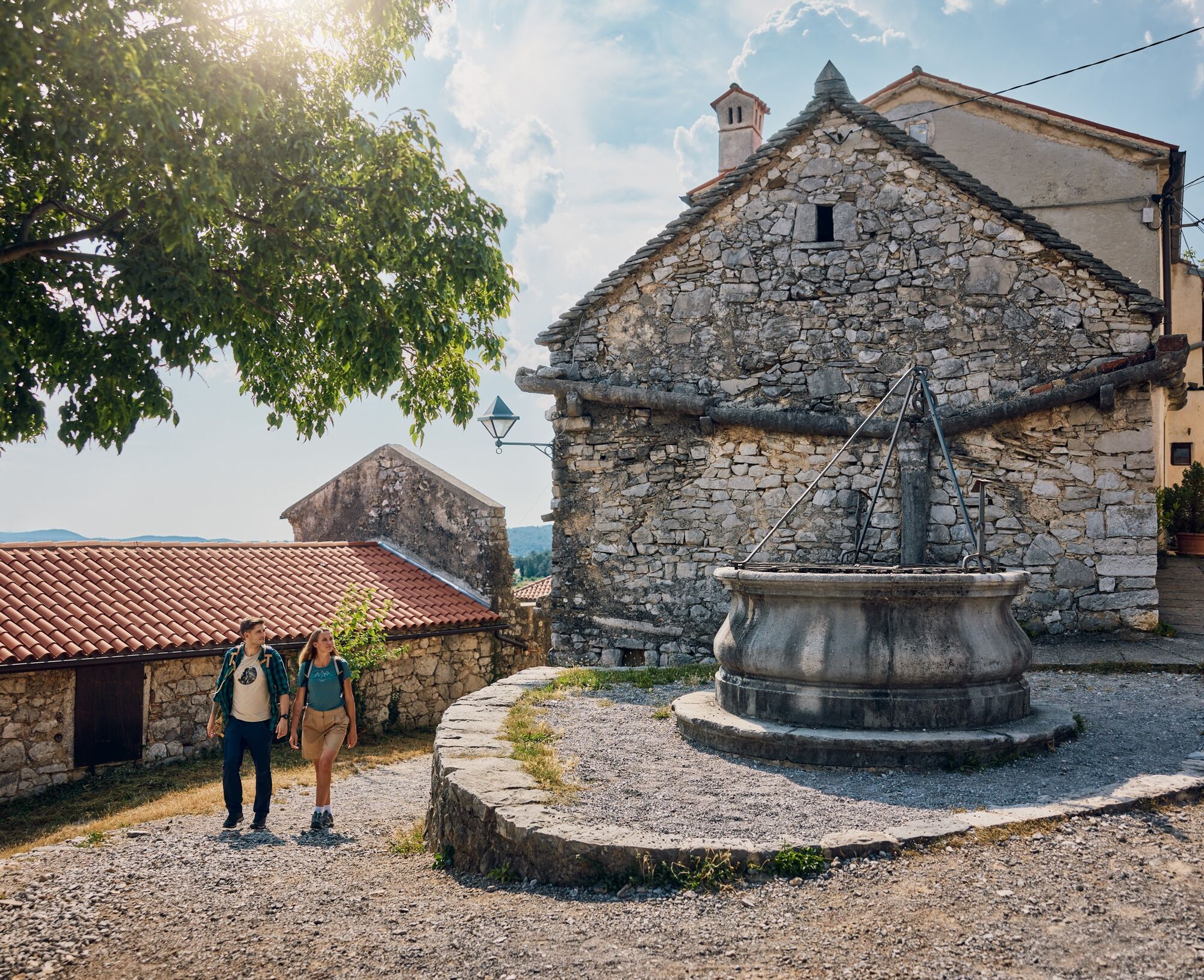
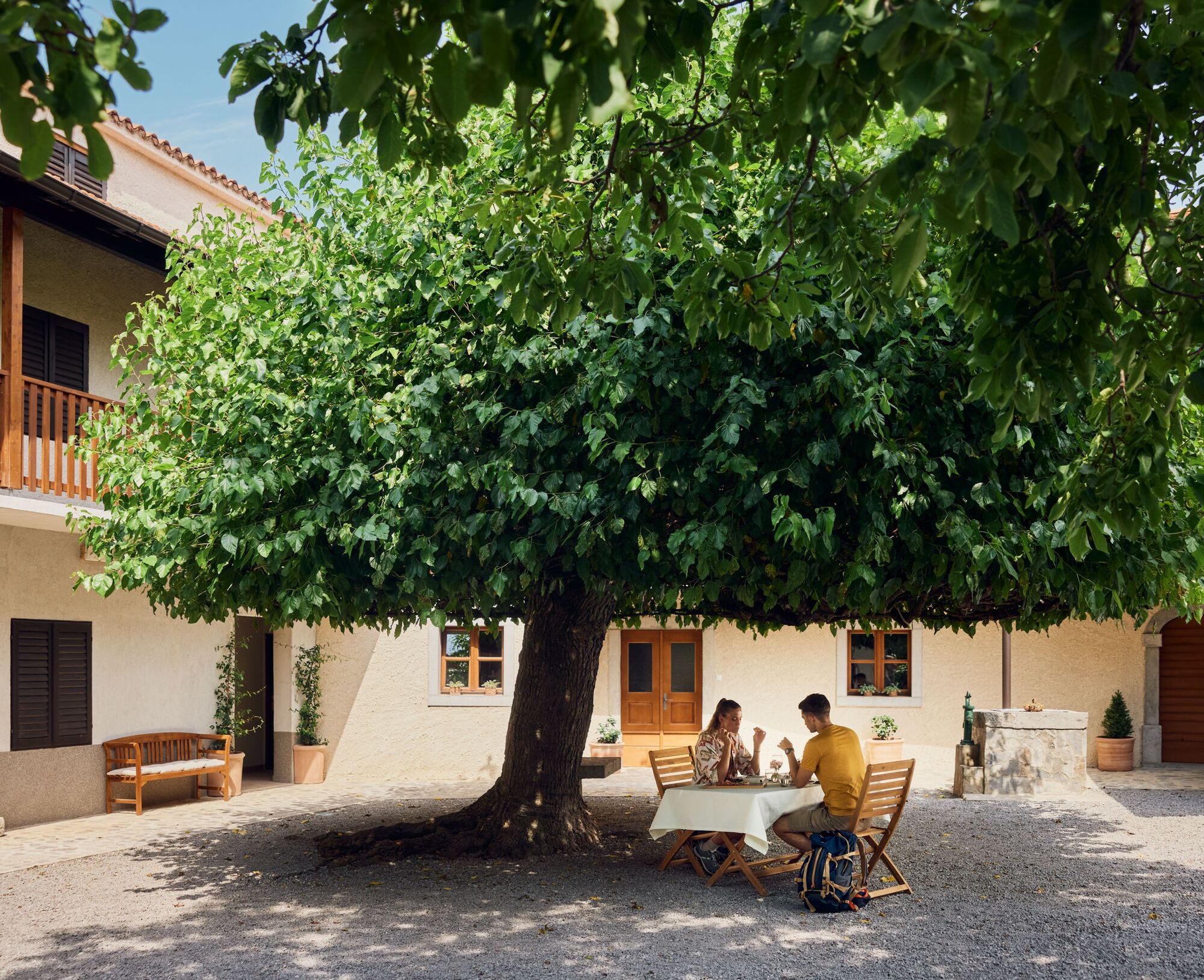
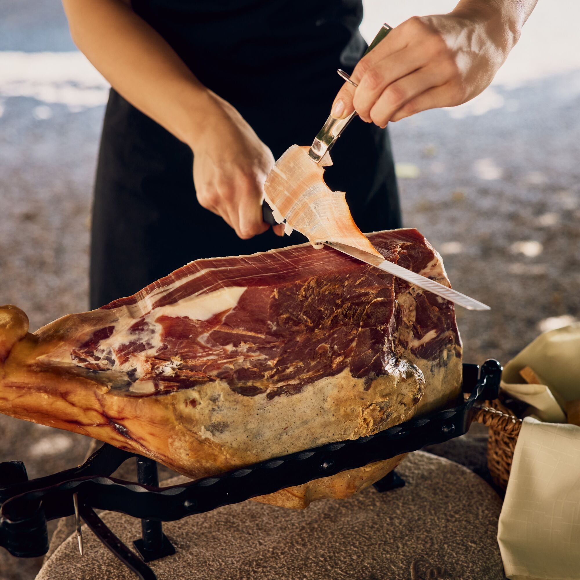
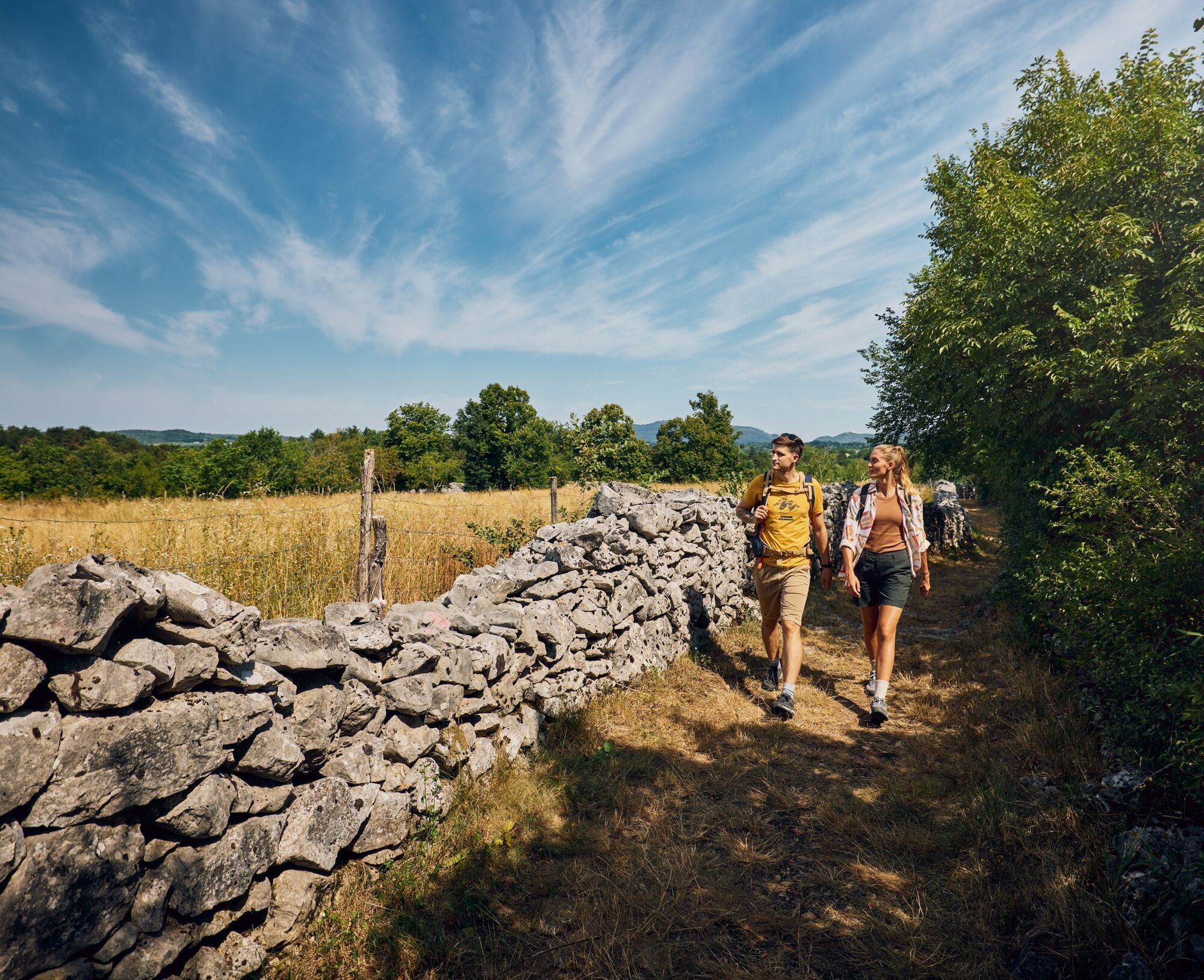

Cross the railway and climb to the main road on the other side. On the right edge of the settlement above the regional road, find the hiking and cycling path that leads all the way to Hruševica. The route runs mostly straight, so do not follow turn-offs to the left.
From Hruševica, continue by road to Kobjeglava. At the main entrance to the village, by the well, turn left onto a fire track. Right at the start, find a cart track on the right that leads between the vineyards. Follow it first across meadows and past vineyards, then through karst forest to Gabrovica.
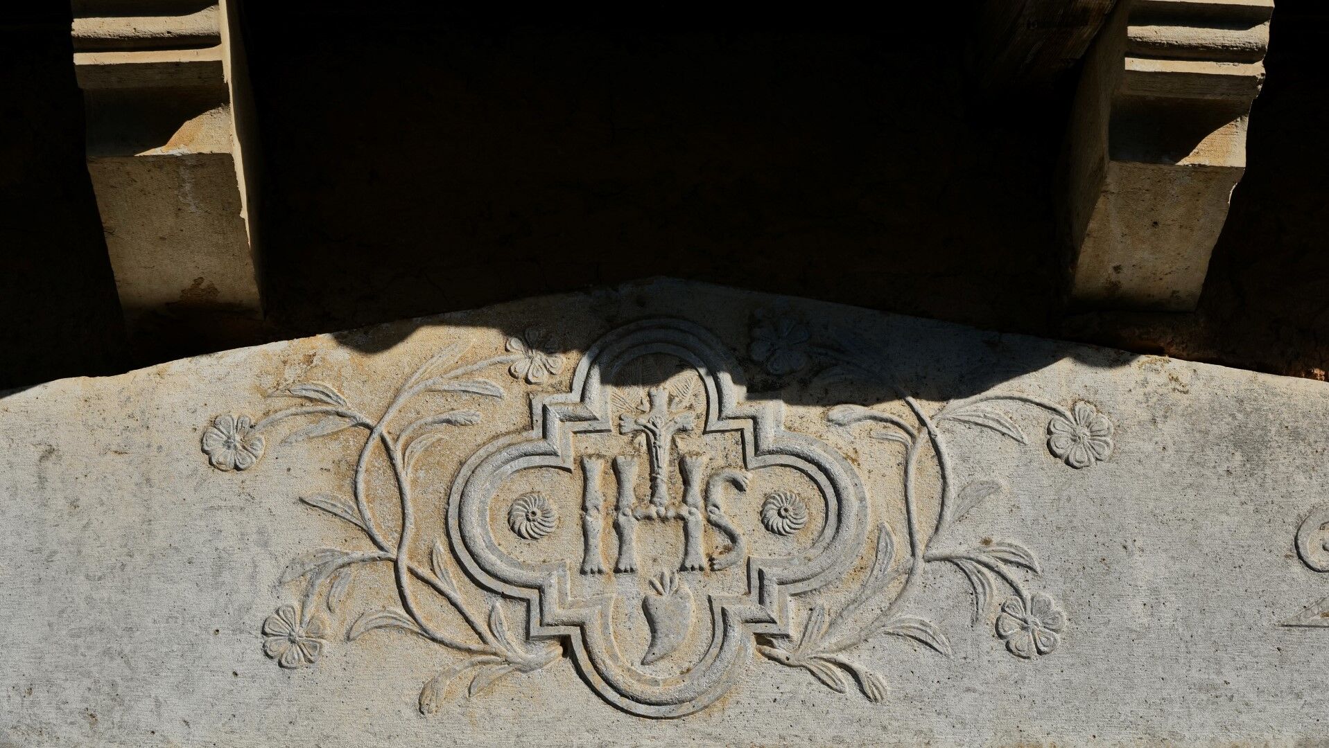
Walk through Gabrovica to the other side of the village, where you find the next fire track, surfaced with rough asphalt and arranged as a cycling connection. Follow it all the way to VolÄji Grad. The details on the entrances and façades of the houses show why this village is part of the stone-cutting heart of the Karst.
Continue through the village to the church of St John the Baptist and then along the next fire track to Nadrožica. Here the fire track turns into a narrower cart track, which you follow in a mostly straight line to Brje.
Brje is the last village on the Slovenian side. On the far side of the village, find the next fire track, which leads across the long saddle below Trnovski hrib and over to San Pelagio / Šempolaj in Italy.
In San Pelagio / Šempolaj, your route joins the Alpe Adria Trail. Just beyond the village, behind the church, leave the road again and continue along field tracks to Slivia / Slivno.
From Slivia / Slivno, descend to the passage under the railway and continue on the other side into Sesljan / Sistiana, where the stage ends. The most convenient parking areas and accommodation are above Sistiana Bay along the regional road.
Sí
Standard hiking equipment, light hiking shoes and clothing suitable for the season.
The trail is passable all year round, but the best and most beautiful times are during spring and autumn. It will not disappoint even in winter, but in summer the temperatures may be uncomfortably high.
The easiest way to reach Štanjel is by regional road from the direction of Nova Gorca / Gorizia or Sežana.
There is no public transport through the route area. Both the starting point, Štanjel, and the finish, Sesljan / Sistiana, have bus and train stations and are connected to larger towns.
The most suitable parking lot in Štanjel is the public parking lot at the post office.
T1
In VolÄji Grad, you can also visit the nearby prehistoric hillfort of Debela griža.
This stage offers the most accommodation options. As it is the longest stage and the next one is much shorter, you can also stay in Brje, San Pelagio / Šempolaj or Slivia / Slivno and still complete the full route in six days.
Rutas populares en los alrededores
-
4,8
Rilkeweg
luzSenderismo 6,19 km -
4,6
Triest-Opicina (Obelisk) nach Prosecco
luzSenderismo 4,28 km -
5,0
Etappe 34 Alpe-Adria-Trail: Duino - Prosecco
medioSendero de largo recorrido 24,3 km -
Carsus Trail: sendero de gran recorrido por la región kárstica de Eslovenia e Italia
medioSendero de largo recorrido 102,2 km -
5,0
Sendero de la Salvia o Tiziana Weiss
luzSenderismo 2,41 km -
4,0
Circuito en el sendero Derin y el Parque Globojner
medioSenderismo 7,36 km -
FVG 2/b Variante del Carso (C2V2)
pesadoCiclismo de larga distancia 105,1 km -
5.Etappe: Gradisca-Triest 40km, 150Hm
luzCiclismo 40,0 km -
5,0
Sendero natural n. 9
medioSenderismo 1,88 km -
Dall’obelisco di Opicina ad Aurisina, lungo il ciglione carsico
Sendero de largo recorrido 16,8 km
Senderismo y rastreo


No se pierda las ofertas y la inspiración para sus próximas vacaciones
Su dirección de correo electrónico se ha añadido a la lista de correo.





