Devin Roundtrip
medio
Consigue este tour en tu móvil
Devin Roundtrip
medio
Senderismo
10,09
km
Escanee el código QR e inicie la navegación en la aplicación bergfex

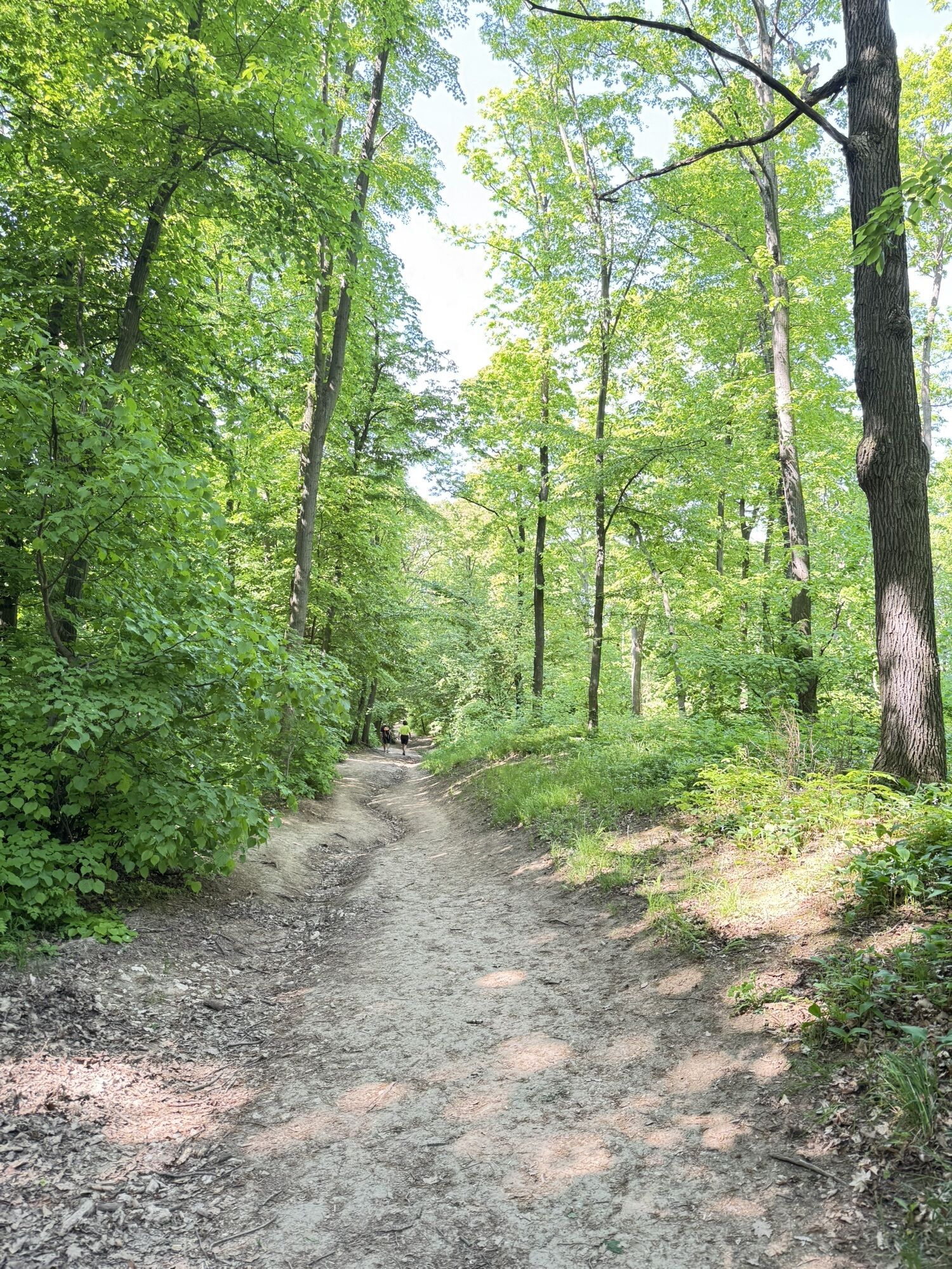
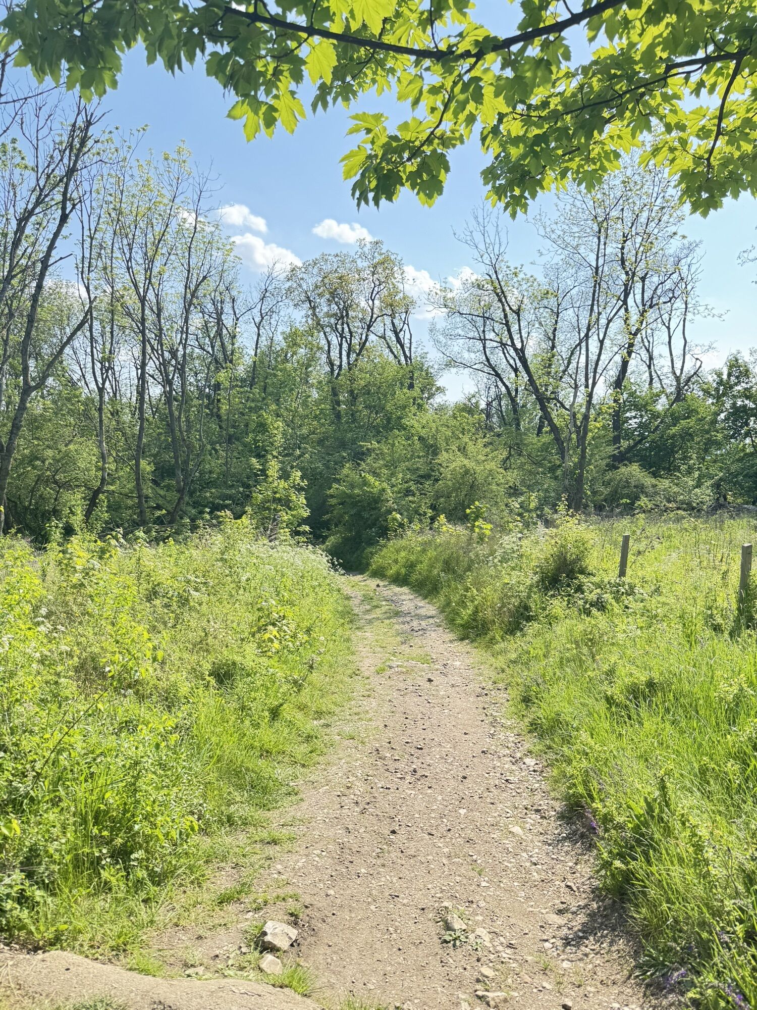
Senderismo y rastreo


Devin Roundtrip
medio
Distancia
10,09
km
Duración
02:48
h
Ascenso
434
m
Nivel del mar
171 -
549
m
Descarga de pistas
Devin Roundtrip
medio
Senderismo
10,09
km

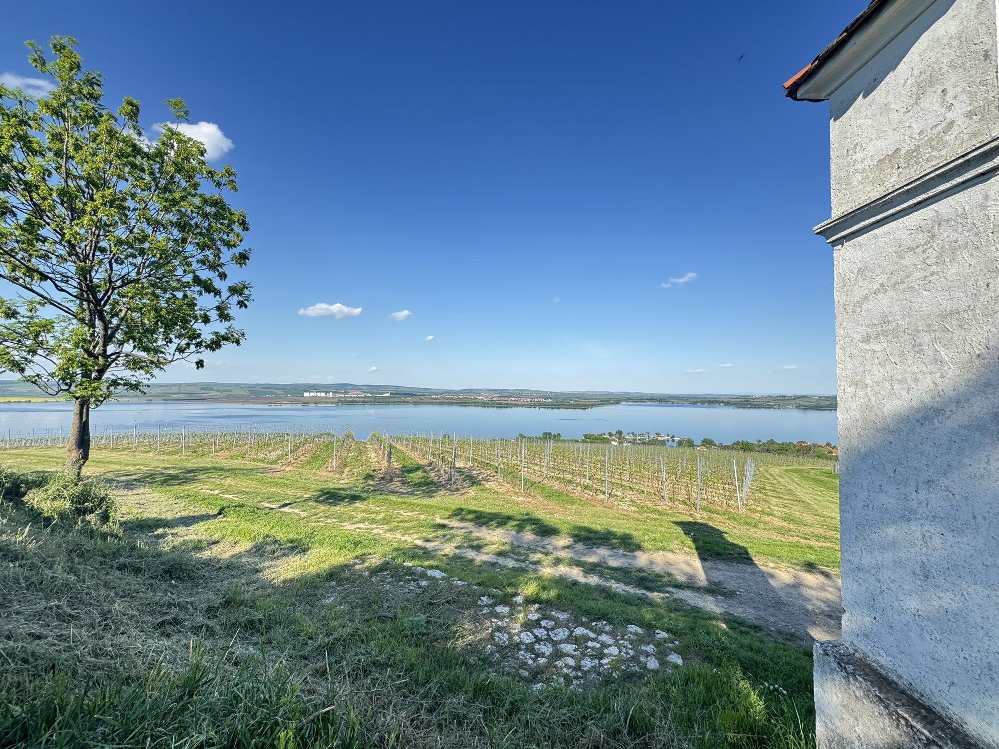


Ruta
Občerstvení u vody
(174 m)
Restaurante
0,0 km
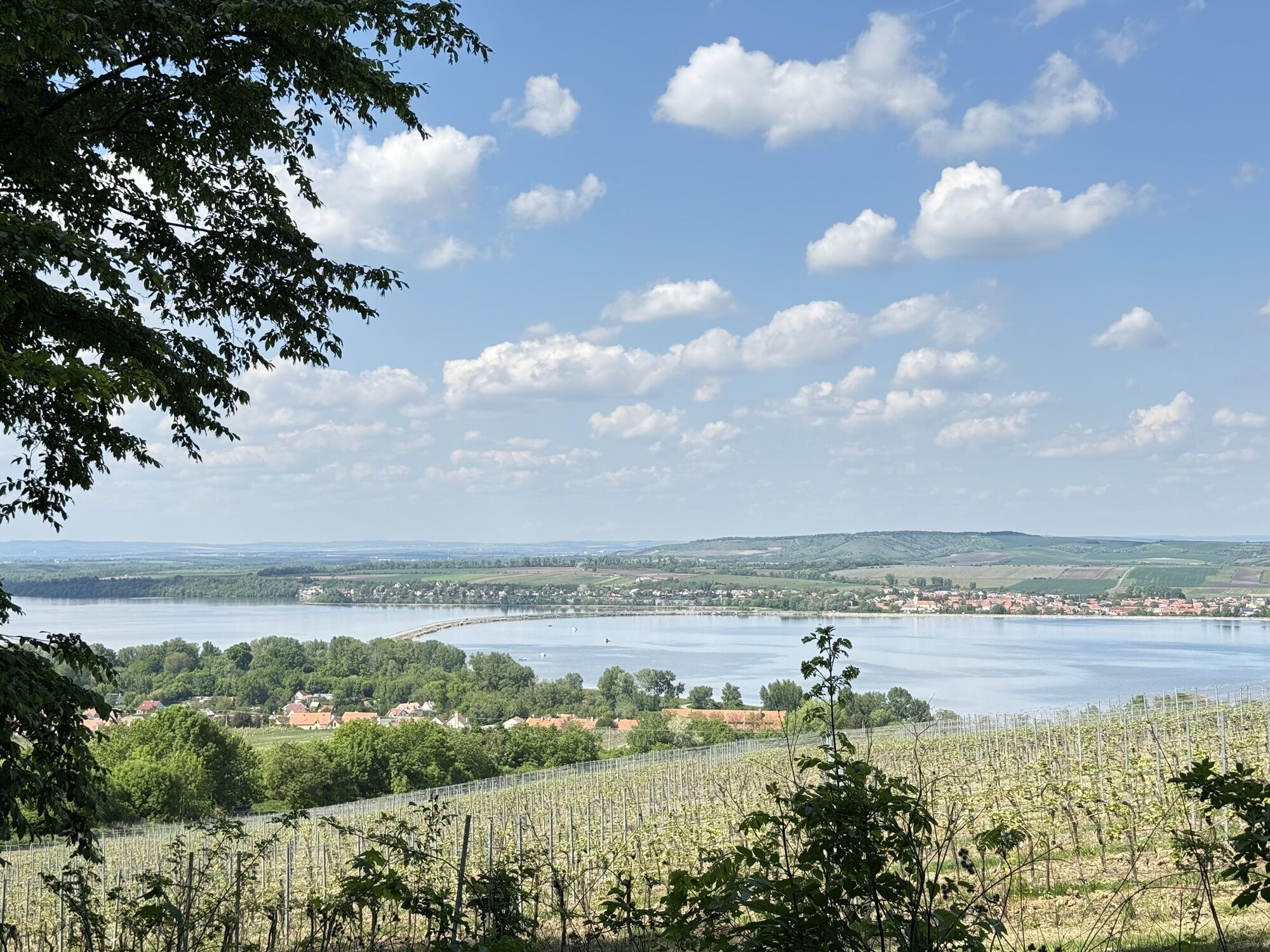
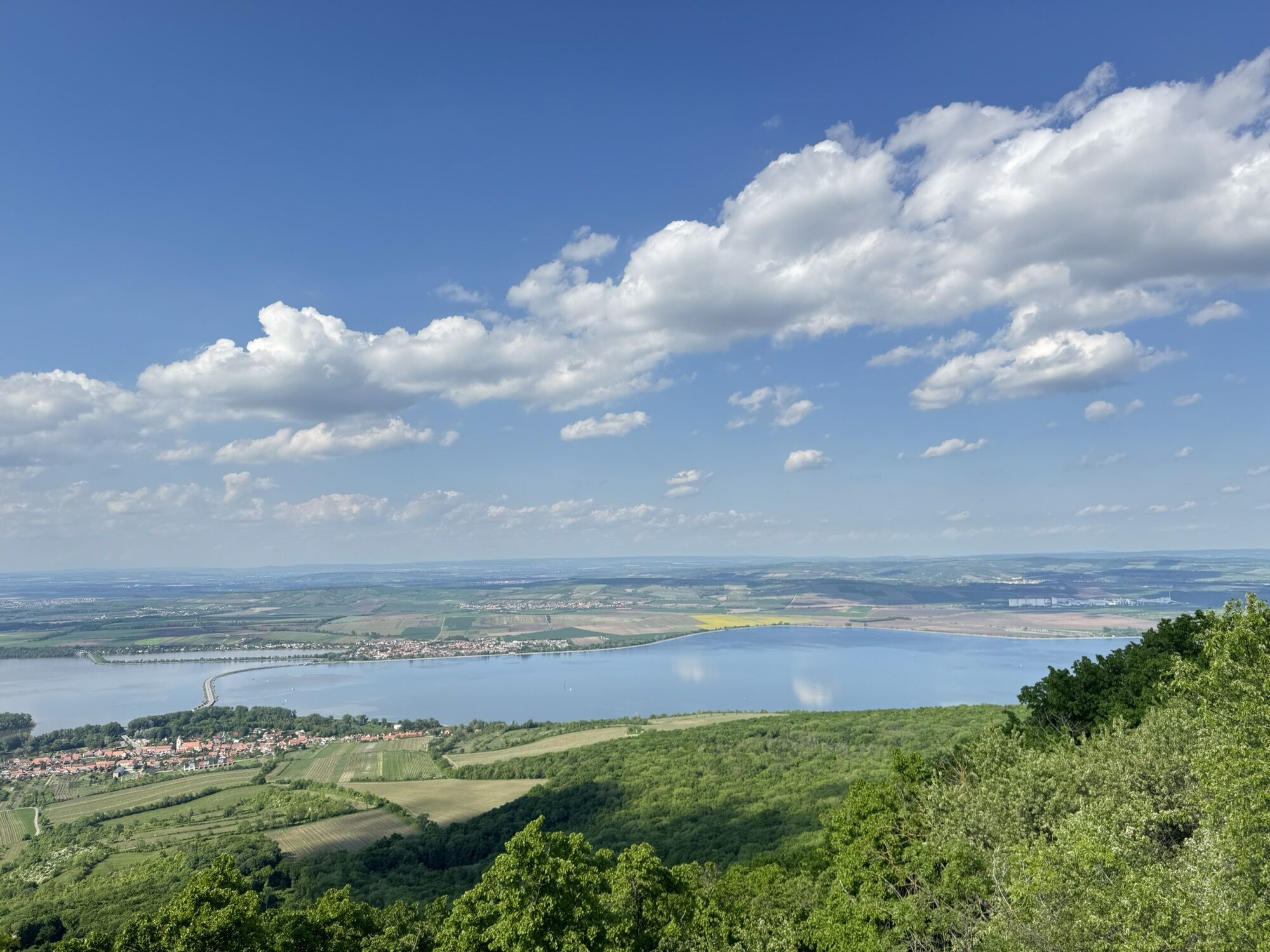
Pavlov
(483 m)
Punto de vista
2,8 km
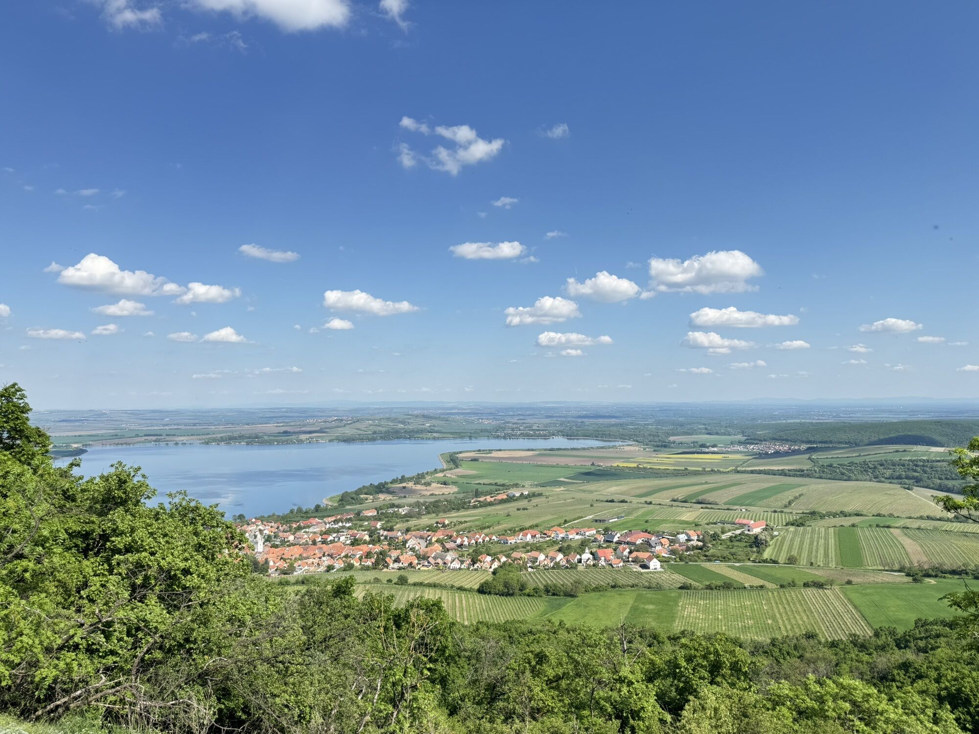
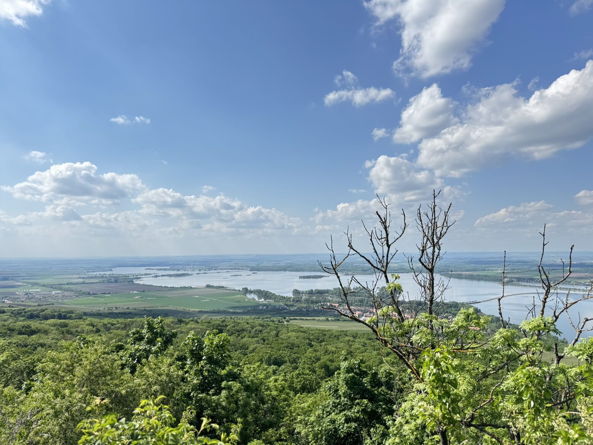
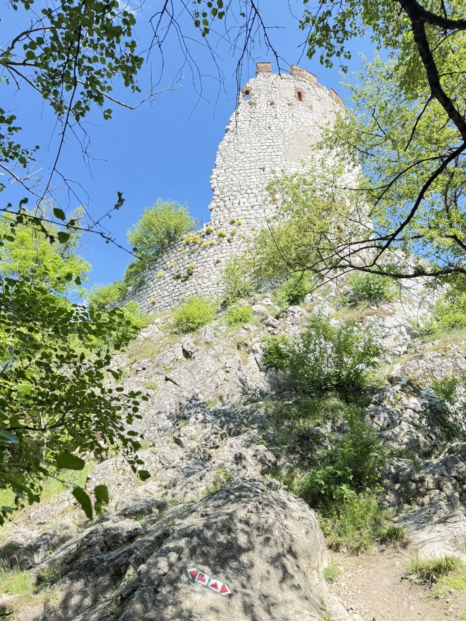
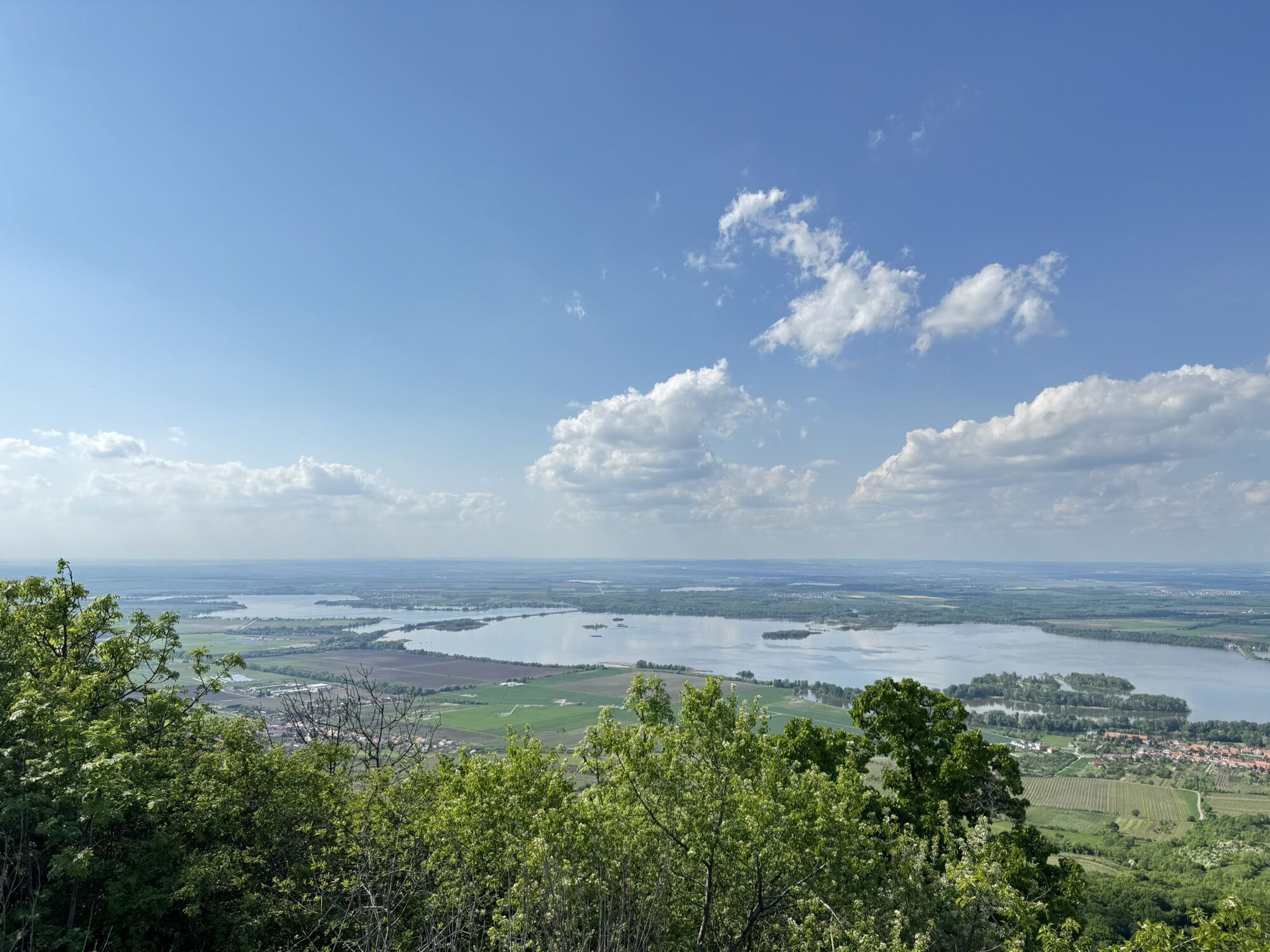
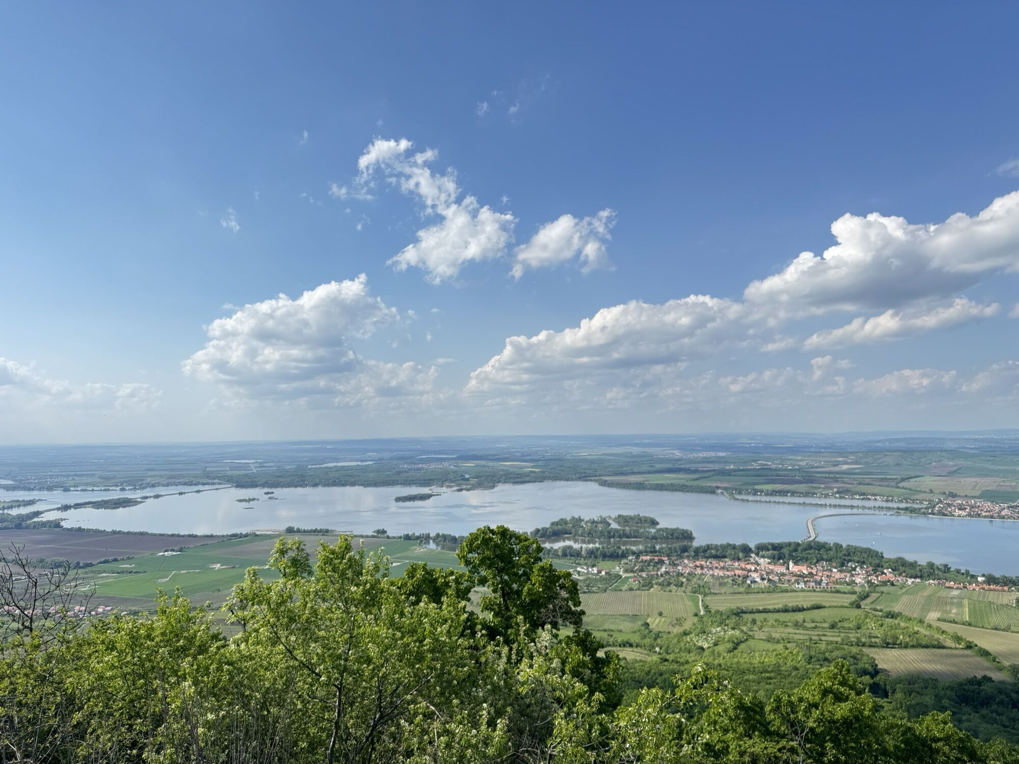
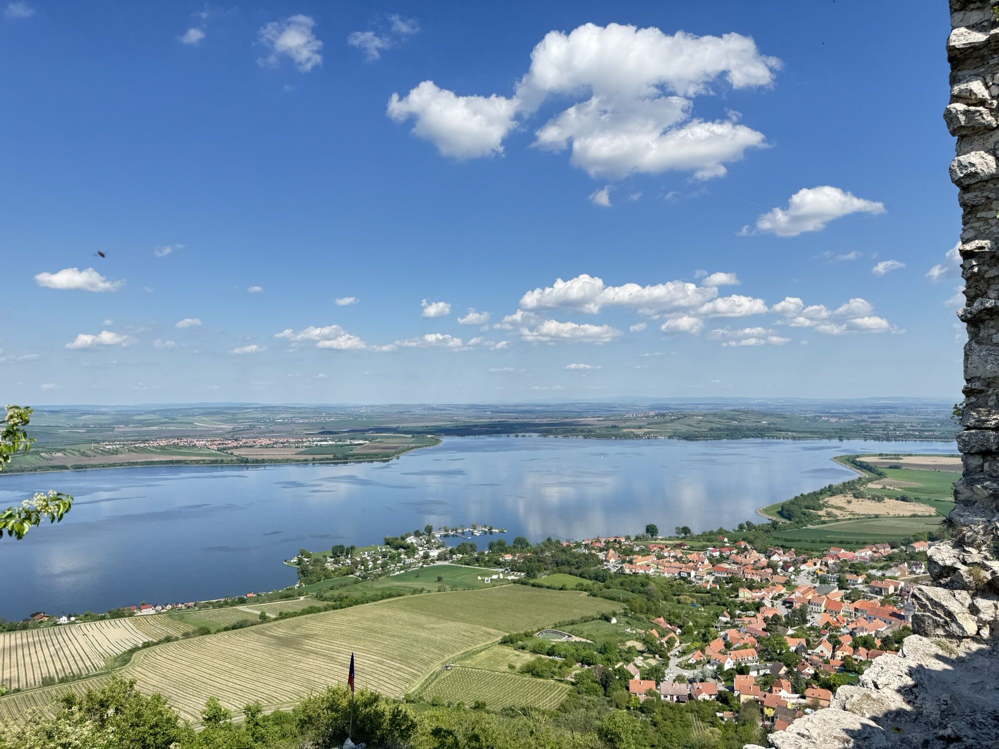
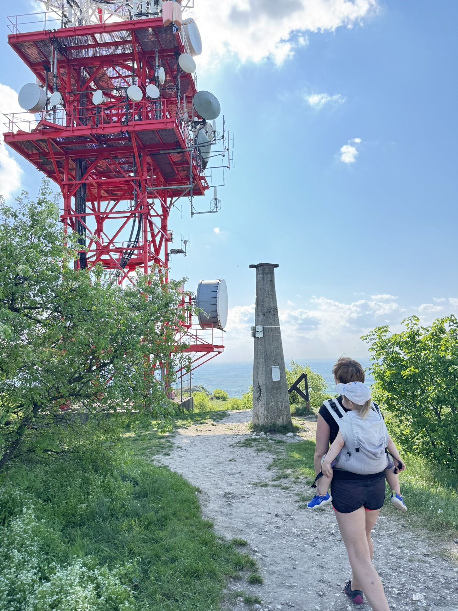
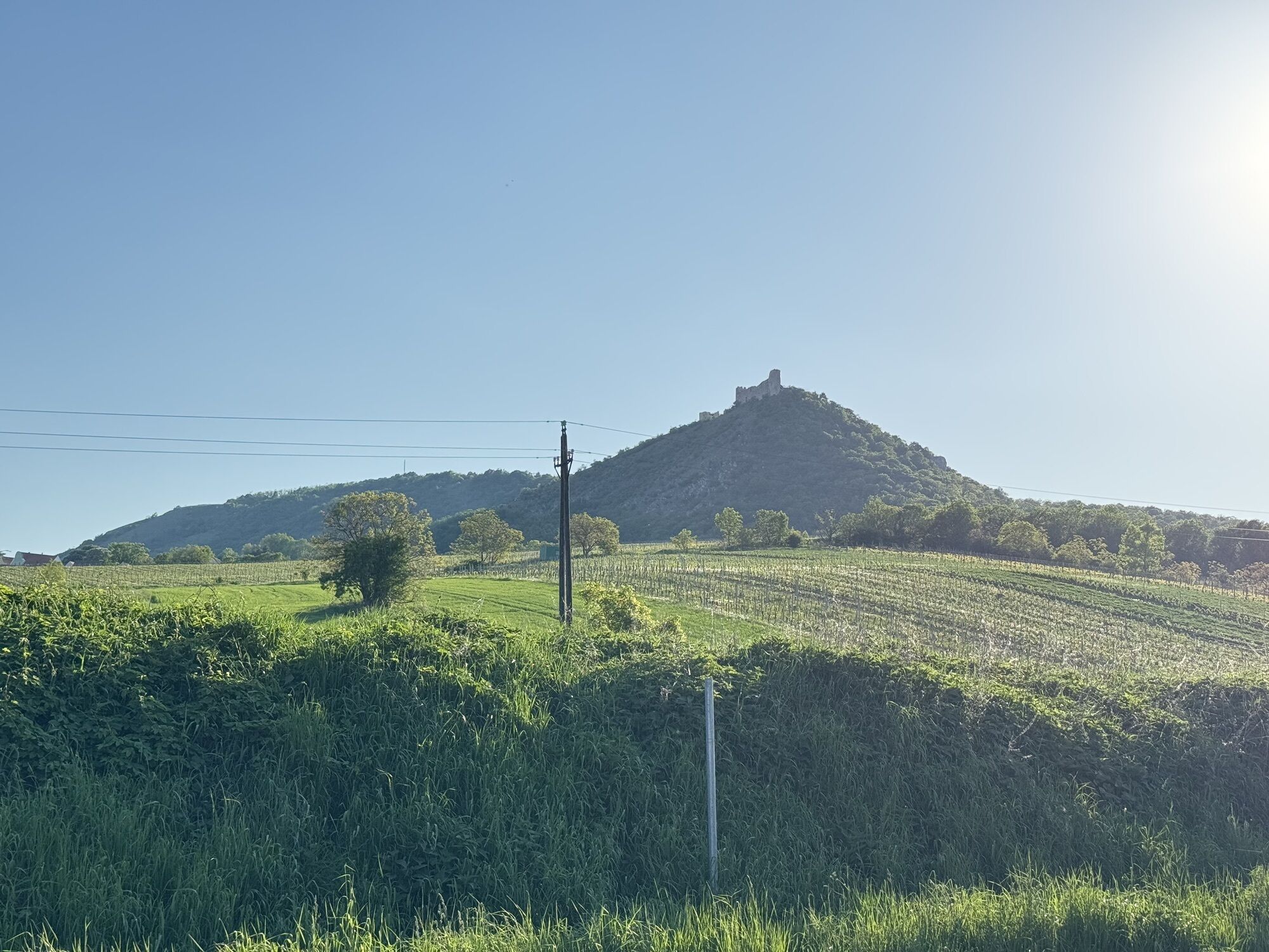
Děvín
(550 m)
Cumbre
3,6 km
Pavlov
(243 m)
Pueblo
7,2 km
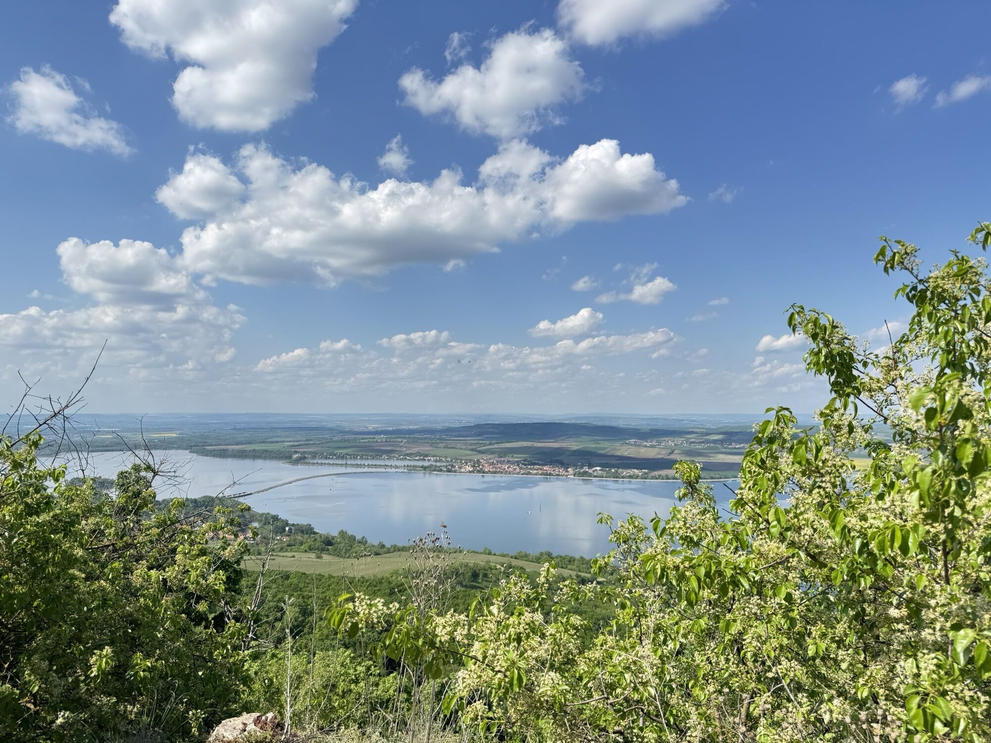
Občerstvení u vody
(174 m)
Restaurante
10,1 km
Ruta
Devin Roundtrip
medio
Senderismo
10,09
km
Občerstvení u vody
(174 m)
Restaurante
0,0 km
Pavlov
(483 m)
Punto de vista
2,8 km
Děvín
(550 m)
Cumbre
3,6 km
Pavlov
(243 m)
Pueblo
7,2 km
Občerstvení u vody
(174 m)
Restaurante
10,1 km

Error
Se ha producido un error. Por favor, inténtelo de nuevo.


Aún no hay opiniones
Rutas populares en los alrededores
-
Stausee Věstonicka bei Pavlov
luzE-Bike 41 km -
Doggo Schlossparkrunde um Eisgrub
luzSenderismo 5,26 km -
Lednice-Valtice area Areal Walk for the whole day
luzSenderismo 33,1 km -
5,0
U Srnečka - Děvín - Stolová hora - Mikulov na Moravě
luzSenderismo 14,9 km -
Half of Nové Mlýny.
luzRunning 21,5 km -
EV13 Stage 8: Laa - Valtice
Ciclismo 43,2 km -
Conexión Moravia del Sur Camino de Santiago Weinviertel
Camino de peregrinación 7,72 km -
5,0
Pavlov - Děvín - Dračí hlava
medioSenderismo 8,64 km -
4,5
Pavlov - Děvín - Dračí hlava
medioSenderismo 6,86 km -
5,0
Jevišovka - Kočičí skála - sv. Barbory - Restaurace Sport
medioCiclismo 55,4 km
Senderismo y rastreo

Más de 550.000 sugerencias de excursiones, mapas detallados y un intuitivo planificador de rutas hacen de esta aplicación una herramienta imprescindible para todos los amantes de la naturaleza.

No se pierda las ofertas y la inspiración para sus próximas vacaciones
Suscribirse al boletín de noticias
Error
Se ha producido un error. Por favor, inténtelo de nuevo.
Gracias por inscribirse
Su dirección de correo electrónico se ha añadido a la lista de correo.
Viajes por Europa
Austria
Suiza
Alemania
Italia
Eslovenia
Francia
Países Bajos
Belgium
Polonia
Liechtenstein
República Checa
Slovakia
España
Croacia
Bosnia y Herzegovina
Luxemburgo
Andorra
Portugal
Iceland
United Kingdom
Ireland
Greece
Albania
North Macedonia
Malta
Norway
Montenegro
Moldova
Kosovo
Hungary
San Marino
Romania
Estonia
Latvia
Belarus
Cyprus
Lithuania
Serbia
Bulgaria
Monaco
Denmark
Sweden
Finland