






Etappe 27 Alpe-Adria-Trail: Tolmin - Tribil Superiore

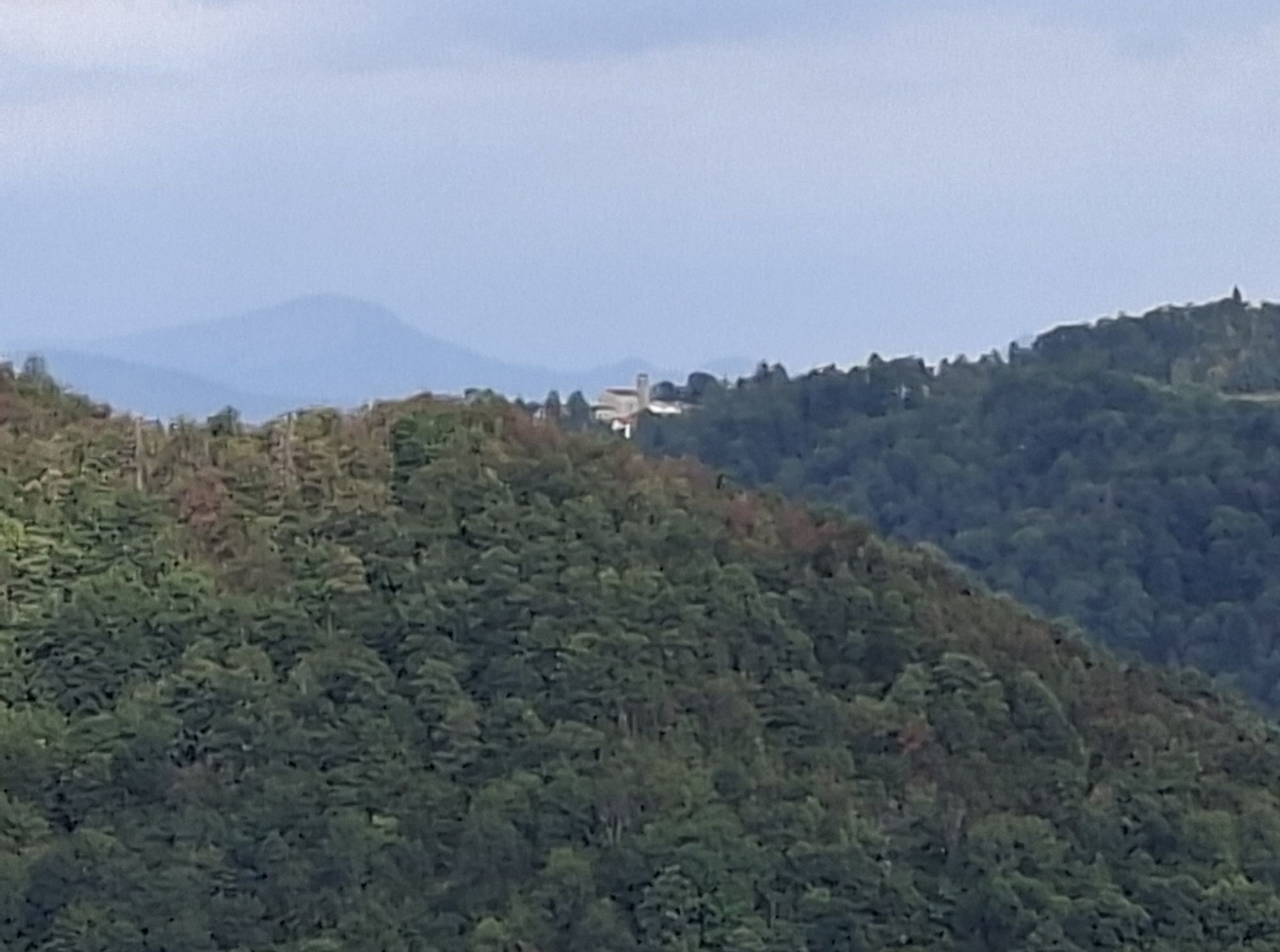
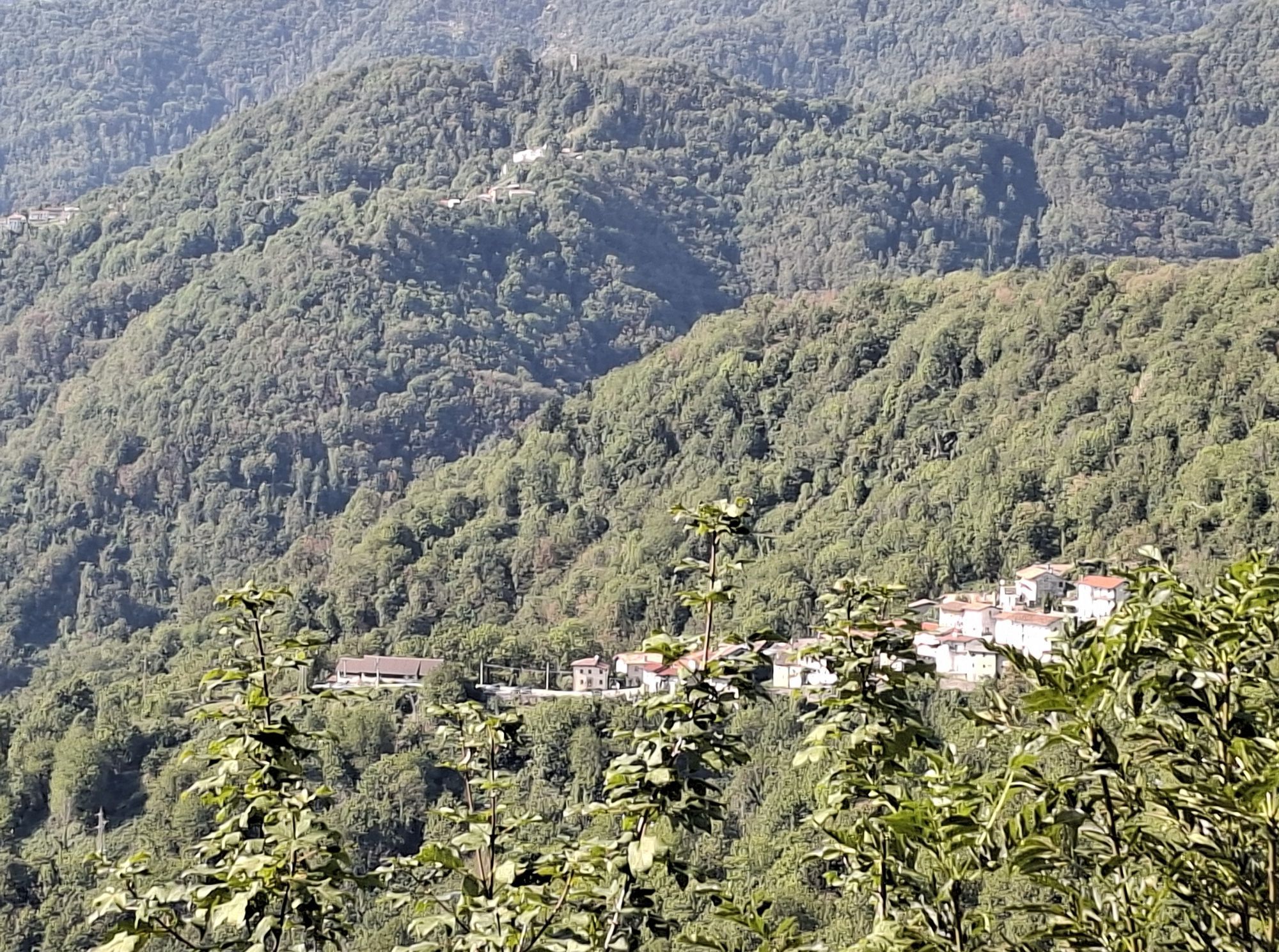
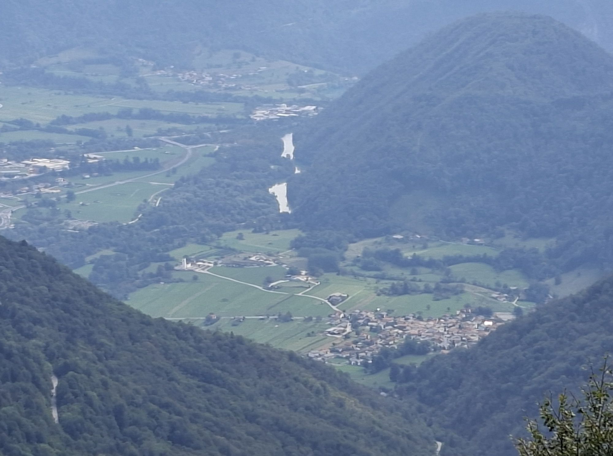

Description of the way From Tolmin (160 m) follow the state road in the direction of Kobarid across the Isonzo River. Here you immediately turn left onto a paved road that leads to the village of Volče...
Description of the way
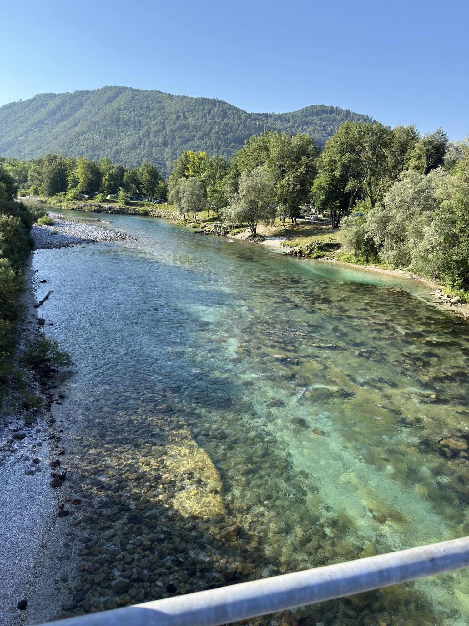
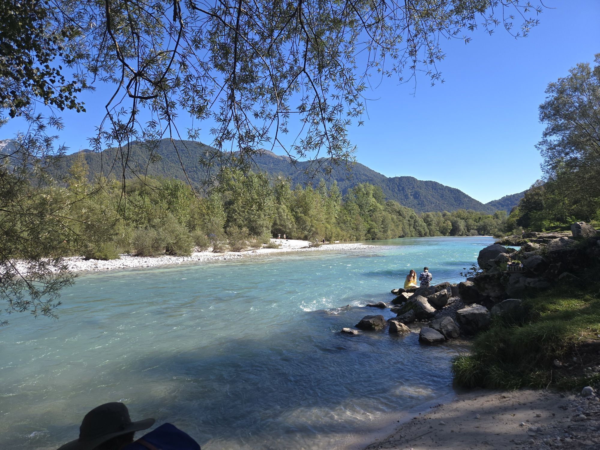
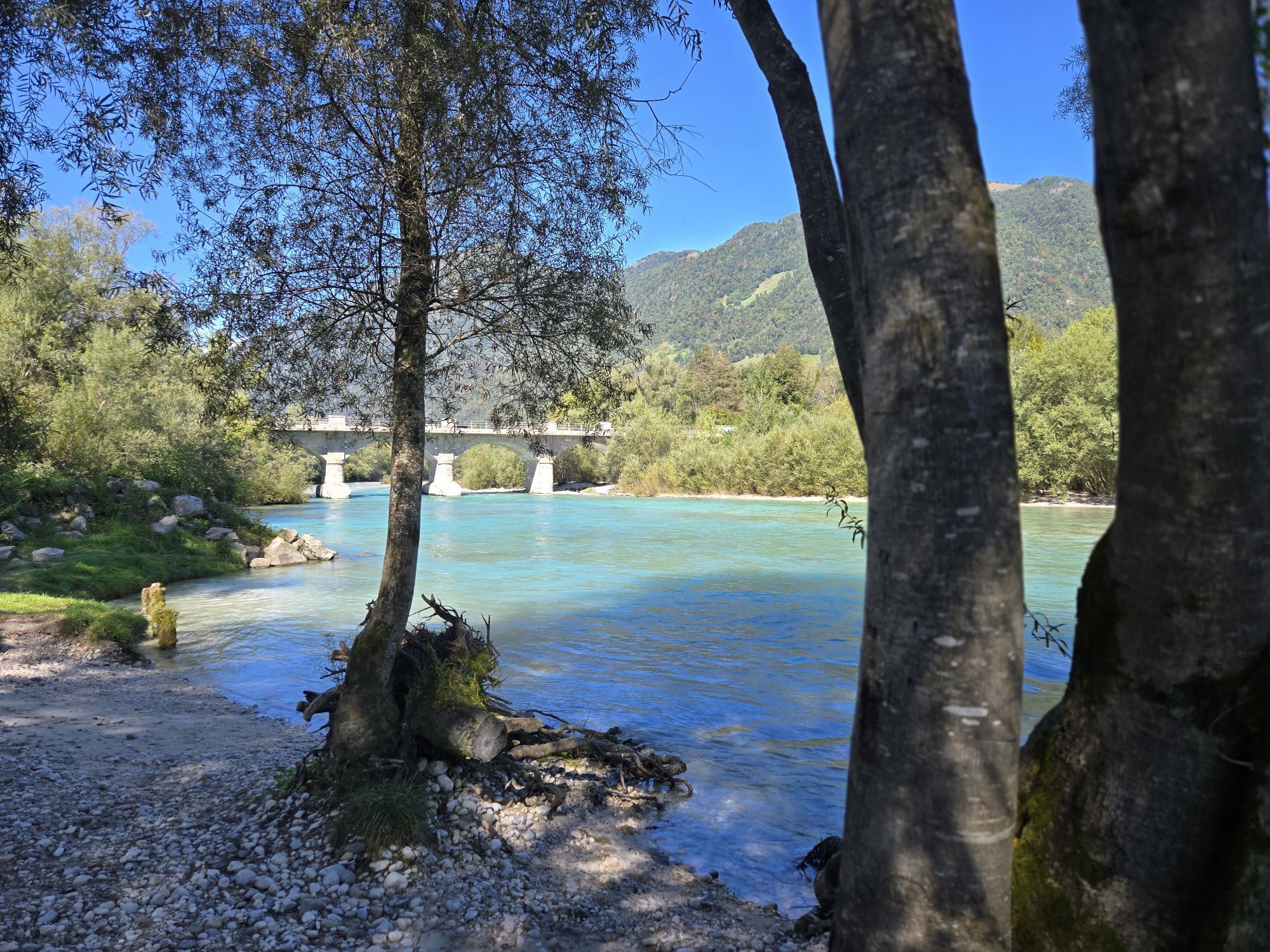
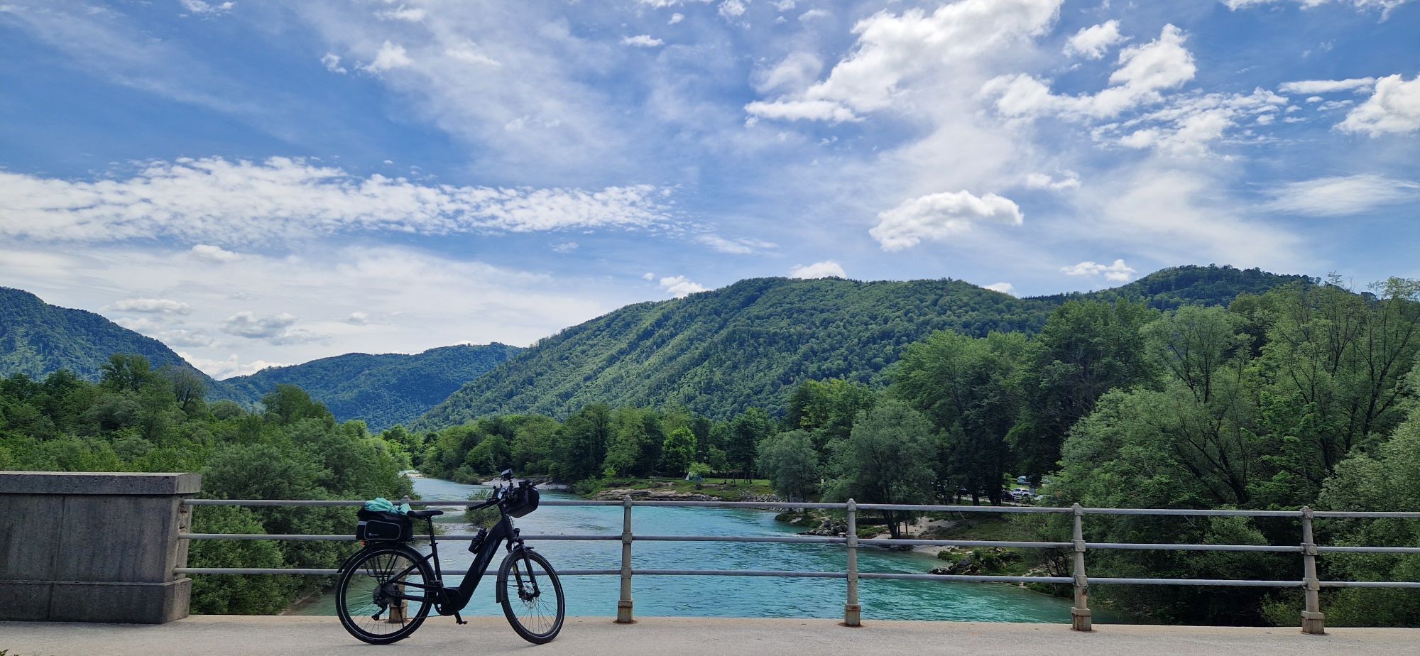
From Tolmin (160 m) follow the state road in the direction of Kobarid across the Isonzo River. Here you immediately turn left onto a paved road that leads to the village of Volče by the ancient church of S. Daniele. After crossing the road to Nova Goriza and leaving the center of the village behind, follow the asphalt road for a few kilometers, which leads uphill to the Solarie Pass.
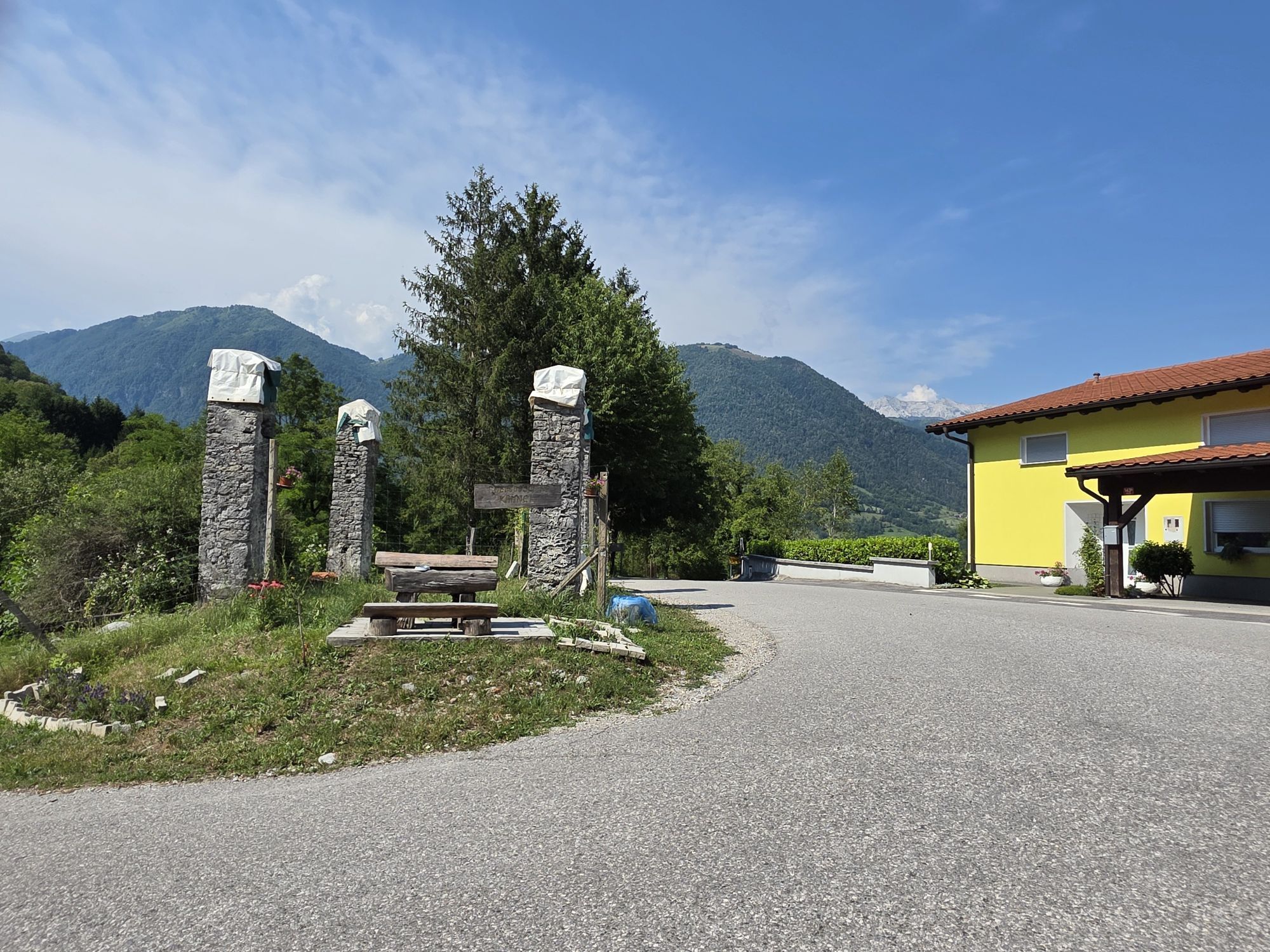
At the first bend, leave the paved road and follow a path that goes up past the Kamnik plain, through the forest, until it meets the road to the Solarie pass again at a saddle. From here, continue along a wooded ridge until you reach the starting point of the circular trail "Kolovrat Open Air Museum" and the road that follows the ridge of Kolovrat on the Slovenian side.
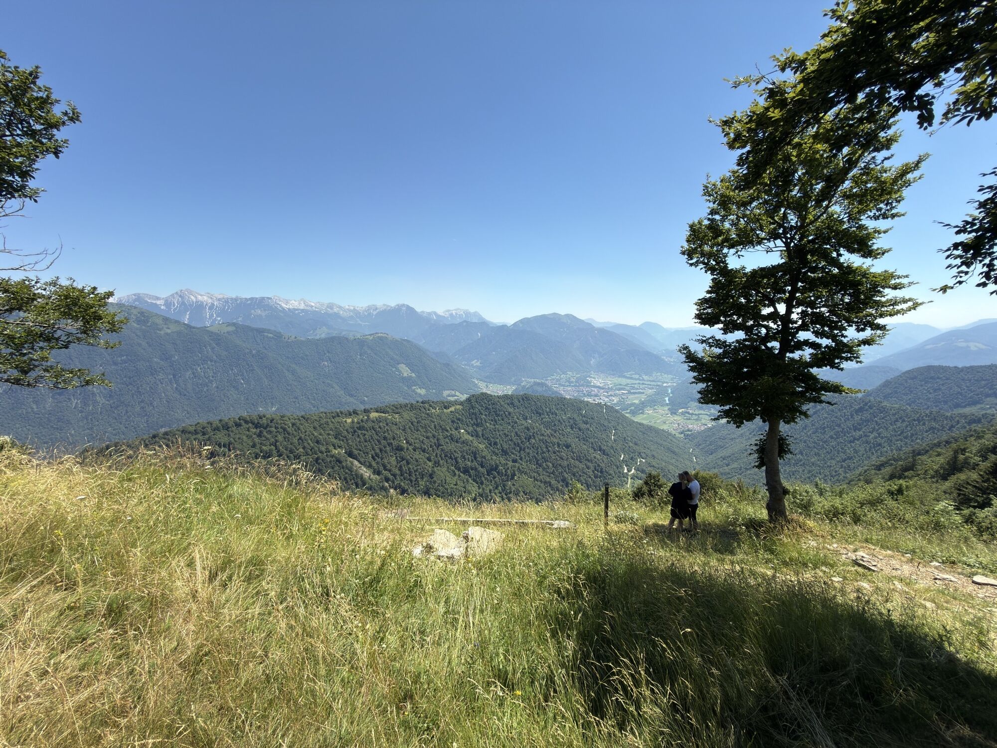
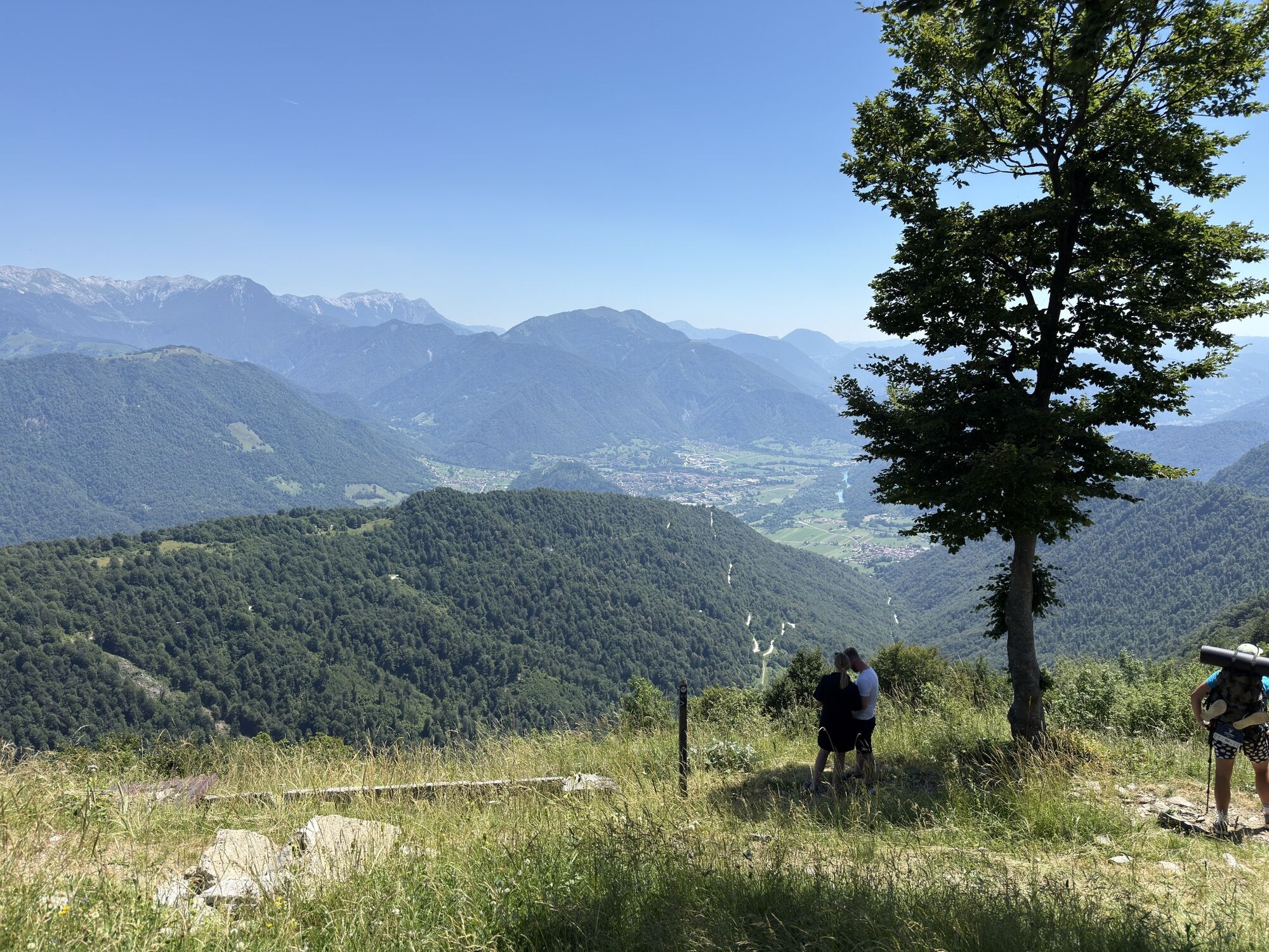
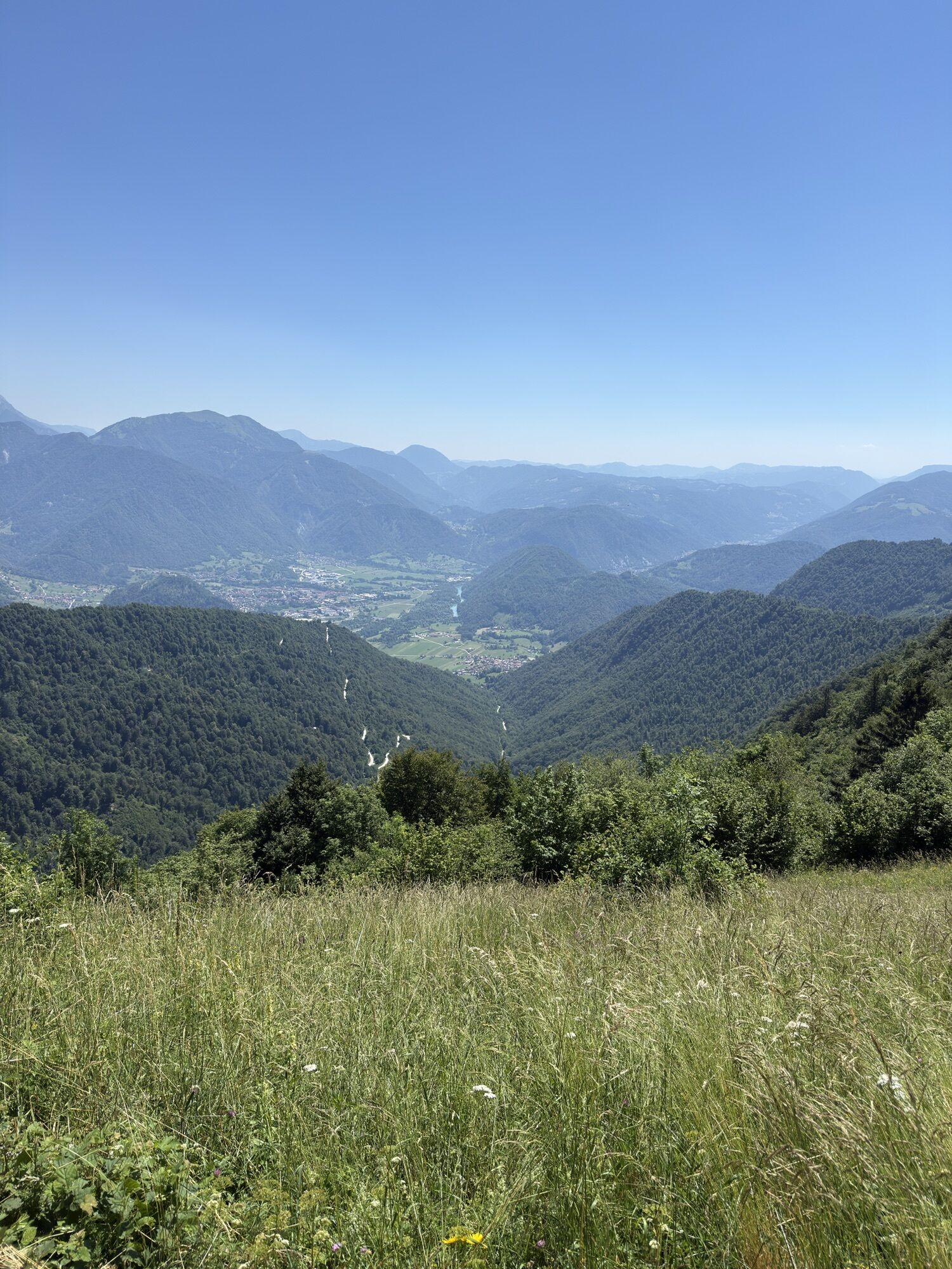
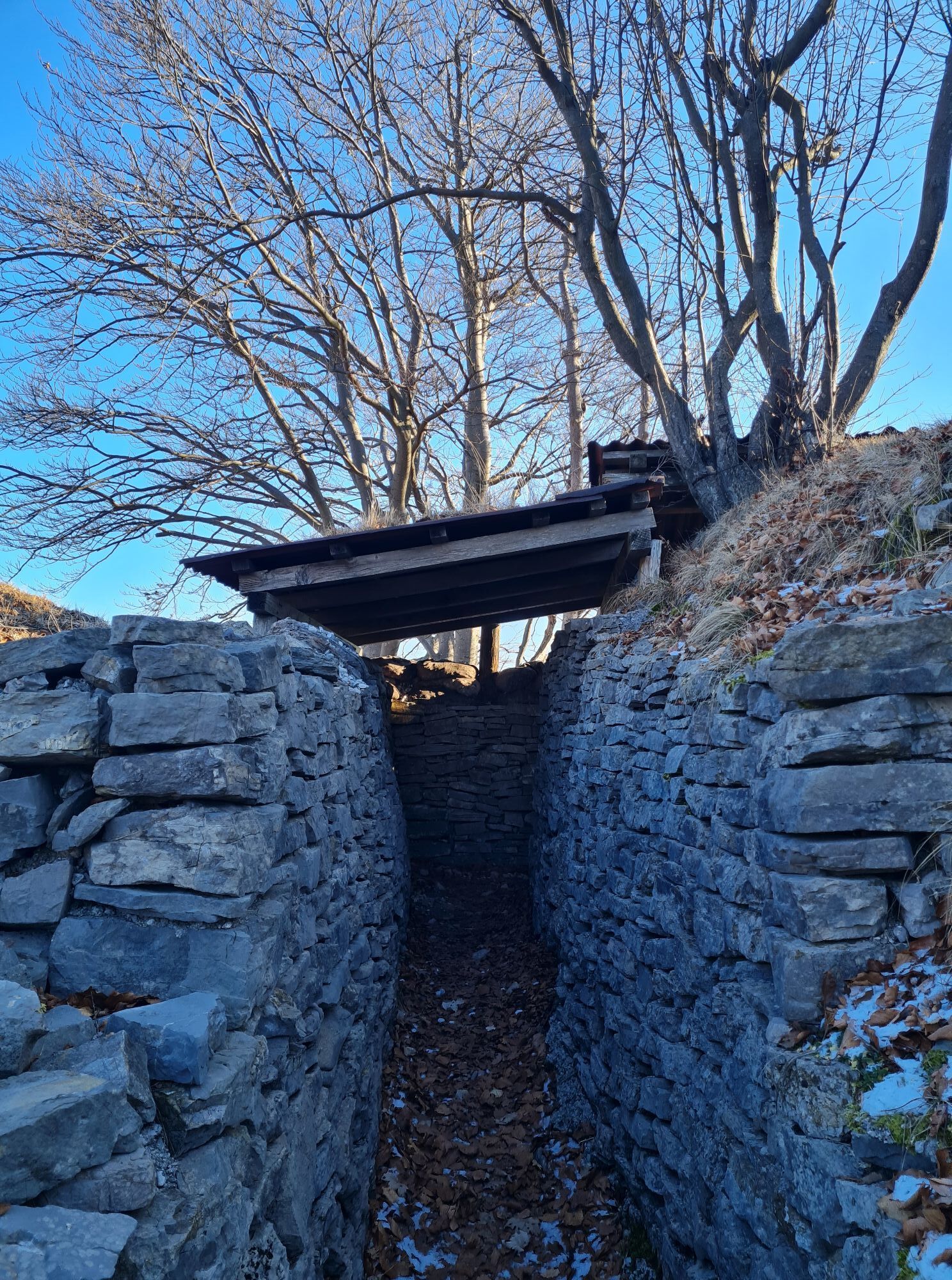
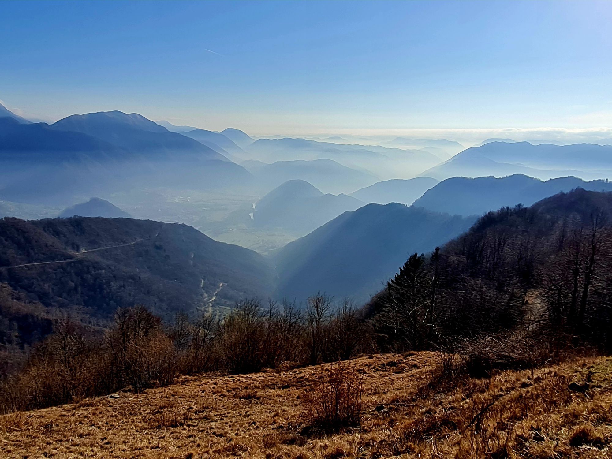
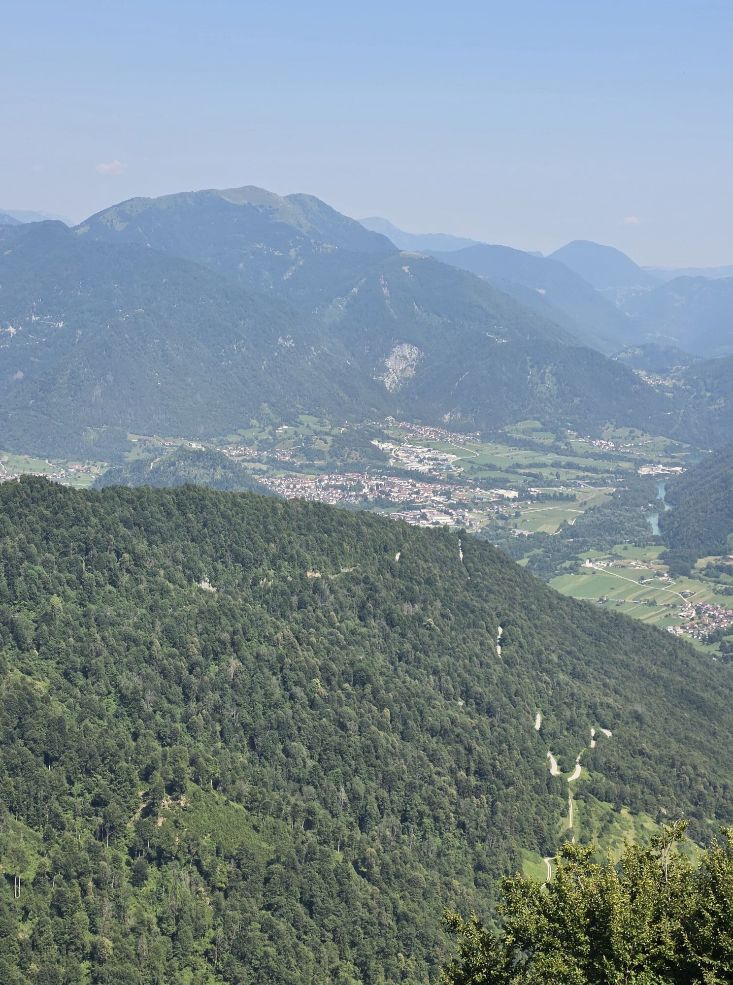
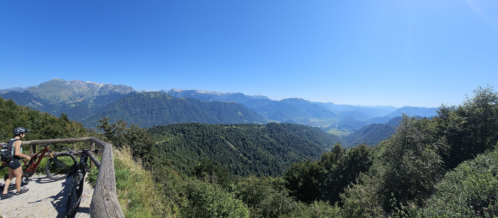
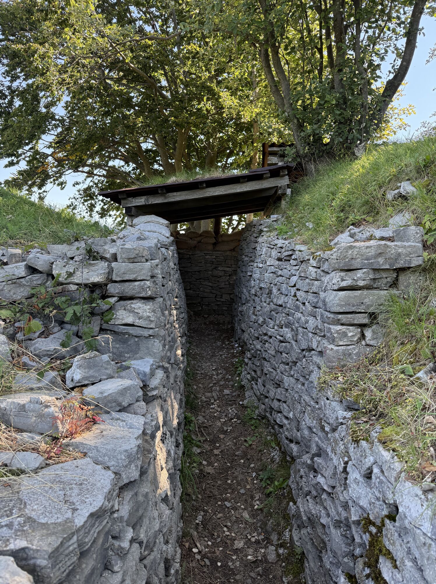
Along the Italian defense line of the First World War (protective trenches, fortifications and caves) you go up to Klabuk - Na Gradu (1114 m, the easternmost peak of the Kolovrat ridge). Here you should definitely enjoy the magnificent panoramic view (binoculars). To the north you can admire the peaks of the Julian Alps, while to the south you can see the Adriatic Sea in the distance, the destination of the Alpe Adria Trail.
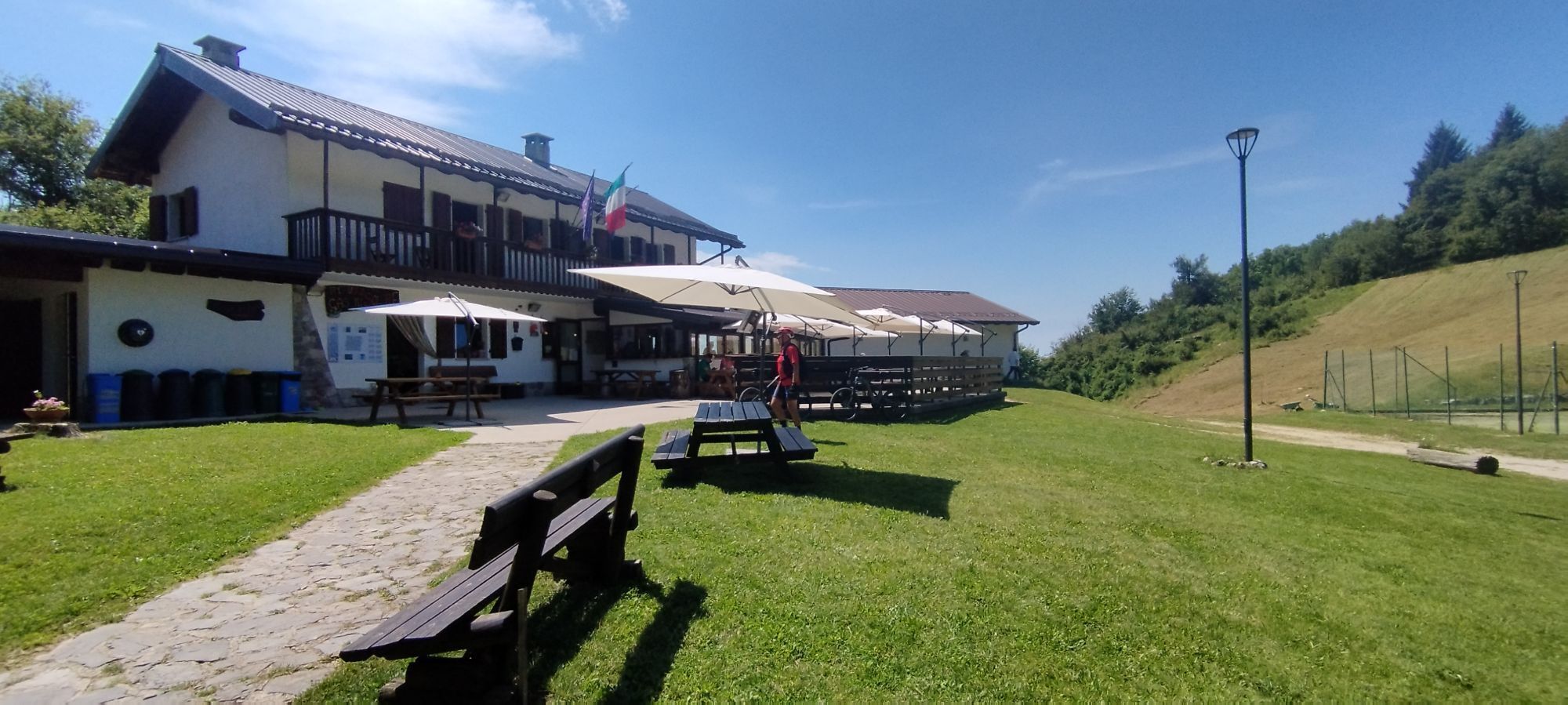
The descent is on the Italian side, first on a path that descends steeply through dense bushes (marked CAI 746), then on an asphalt road that leads to the former border crossing at the Solarie Pass, and further down to the picturesque Solarie Hut (956 m). At the hut, leave the tarred road and turn left onto a forest path (marked CAI 746). After a while this becomes the road to the village of Clabuzzaro/Breg (802 m).
Following the asphalt access road to the village, you reach the Tribil-Drenchia road, which you turn left onto for a short stretch.
Then turn left onto the CAI 747 path, which leads to the church of San Volfango, and continue until you reach the road between Tribil di sopra and Drenchia. Follow this road until you reach the village of Rucchin/Zaločilo (648 m). Then continue along the CAI 747 through a dense forest until you reach a prominent ridge, which you follow in a westerly direction up to the summit of Monte Cum/Hum at 912 m (to save yourself the climb to Monte Cum, from Rucchin you can also take the path marked CAI 747a, which runs slightly above the road from Rucchin to Tribil di sopra). From the top of Monte Cum, the CAI 747 trail descends in a southerly direction until it reaches the asphalt road from Rucchin to Tribil di sopra. Follow this road for a short distance and then turn left onto a forest road that leads to the stage destination of Tribil di sopra (642 m).

Sí
Sí
Sí
Sí
Sí
Genügend Trinkwasser mitführen auf dieser Etappe, es gibt wenige Einkehrmöglichkeiten!
Mit dem Bus:
Busse fahren von Laibach und Nova Gorica nach Tolmin. Busfahrplan.
Mit dem Zug:
Der Zug aus Ljubljana fährt über Jesenice durch das enge Alpental Baška grapa nach Most na Soči. Von dort sind es noch 5 km nach Tolmin. Bahnplan.
Auf der Bahnstrecke Bohinjska Bistrica - Podbrdo - Most na Soči haben Sie mehrmals täglich die Möglichkeit der Autoverladung.
Öffentliche Parkplätze in der Stadt bzw. Parkplätze bei den Unterkünften
Tourismusinformation Tolmin: Petra Skalarja 4, SI-5220 Tolmin; T: +386 5 380 04 80; info@lto-sotocje.si ; www.dolina-soce.com

Rutas populares en los alrededores
-
4,6
Kozjak Wasserfall und Soča
luzSenderismo 5,18 km -
3,9
Tolminka Klamm
luzSenderismo 1,90 km -
3,4
Auf den Krn
medioSenderismo 5,90 km -
4,7
Bohinj
medioSenderismo 22,1 km -
4,7
Kobarid - Stari grad - Restaurant Kamp Lazar - Veliki Kozjak
medioSenderismo 8,98 km -
4,6
Krnska jezera
medioPasear 12,4 km -
3,2
Slap Kozjak (Wasserfall)
luzSenderismo 3,40 km -
4,0
Matajur
medioMountainbike 24,8 km -
5,0
Planina Kuhinja - Gomiščkovo zavetišče na Krnu - Krn - Batognica
medioSenderismo 14,4 km -
4,2
Kolovrat
medioMountainbike 33,0 km
Senderismo y rastreo


No se pierda las ofertas y la inspiración para sus próximas vacaciones
Su dirección de correo electrónico se ha añadido a la lista de correo.





