






The Upper Vipava Valley

Pedal off from the heart of Ajdovščina after taking a look at the well-preserved ruins of the Roman fortress Castra. Continue westward, through the city center up to the church of St. John the Baptist,...
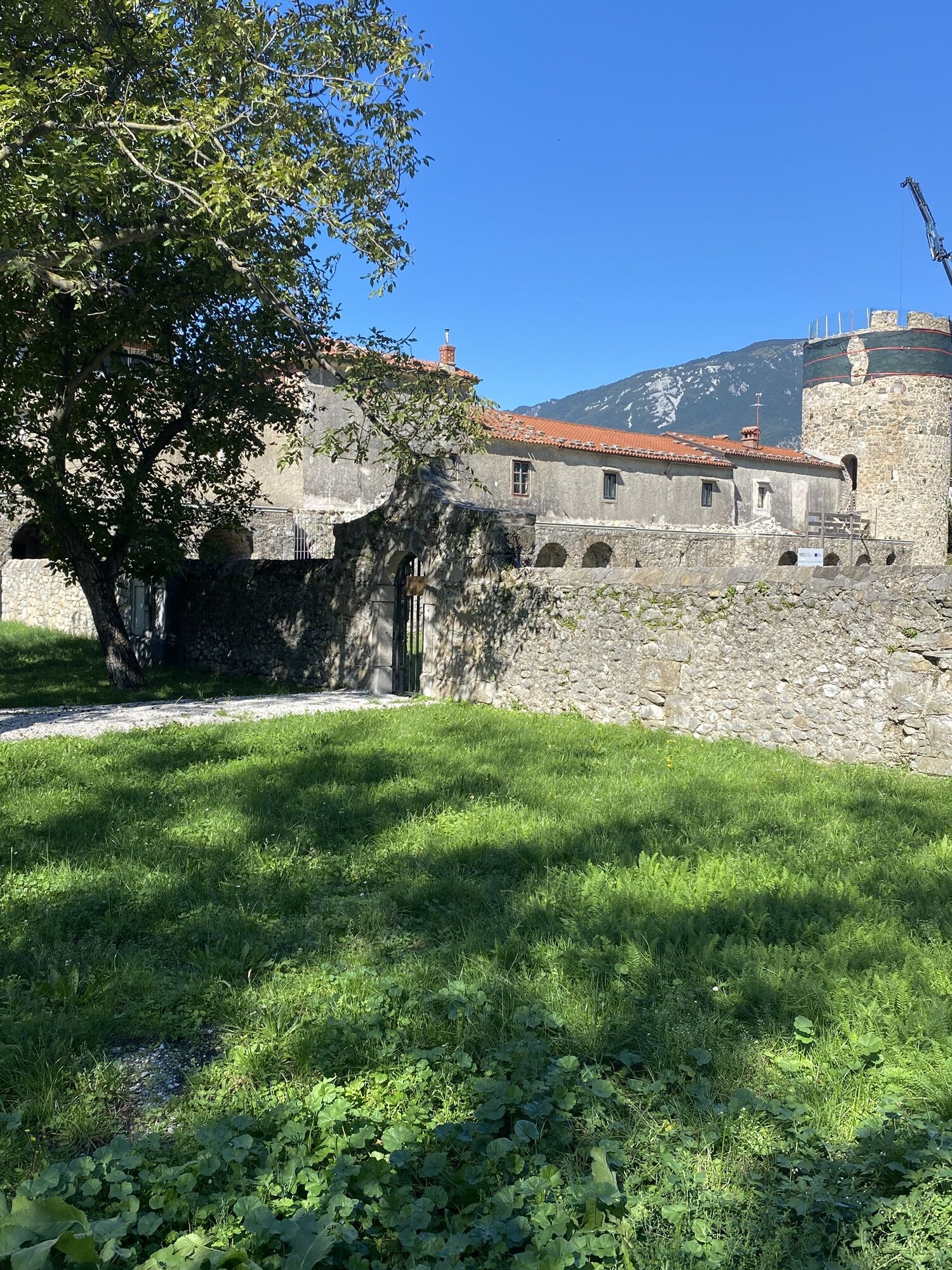
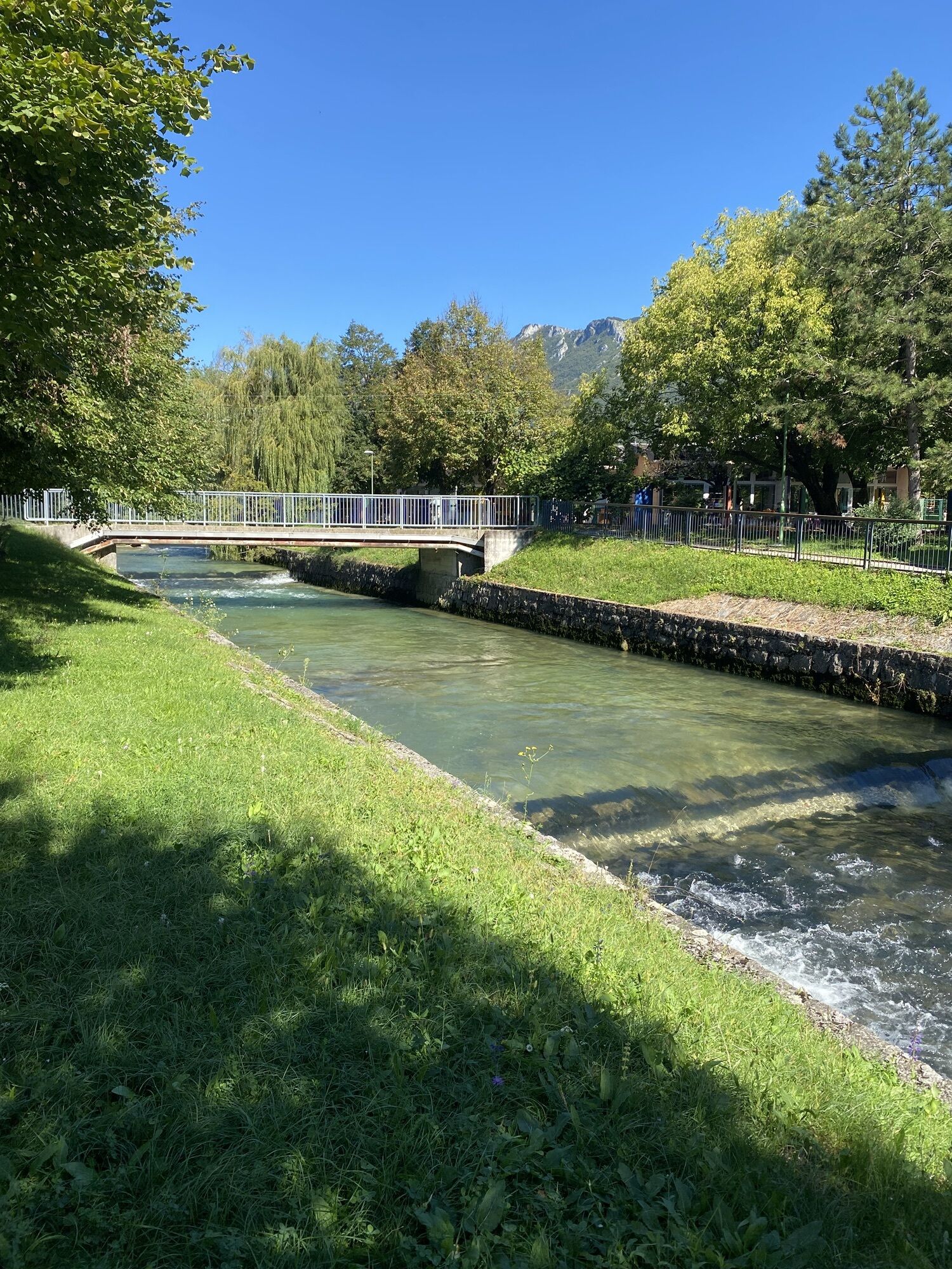
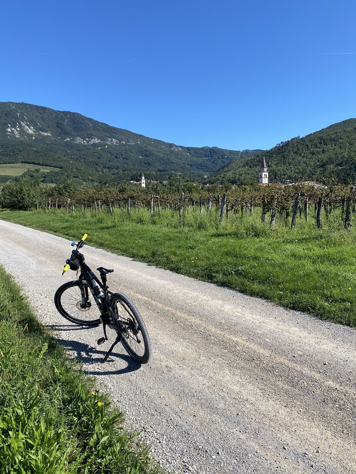
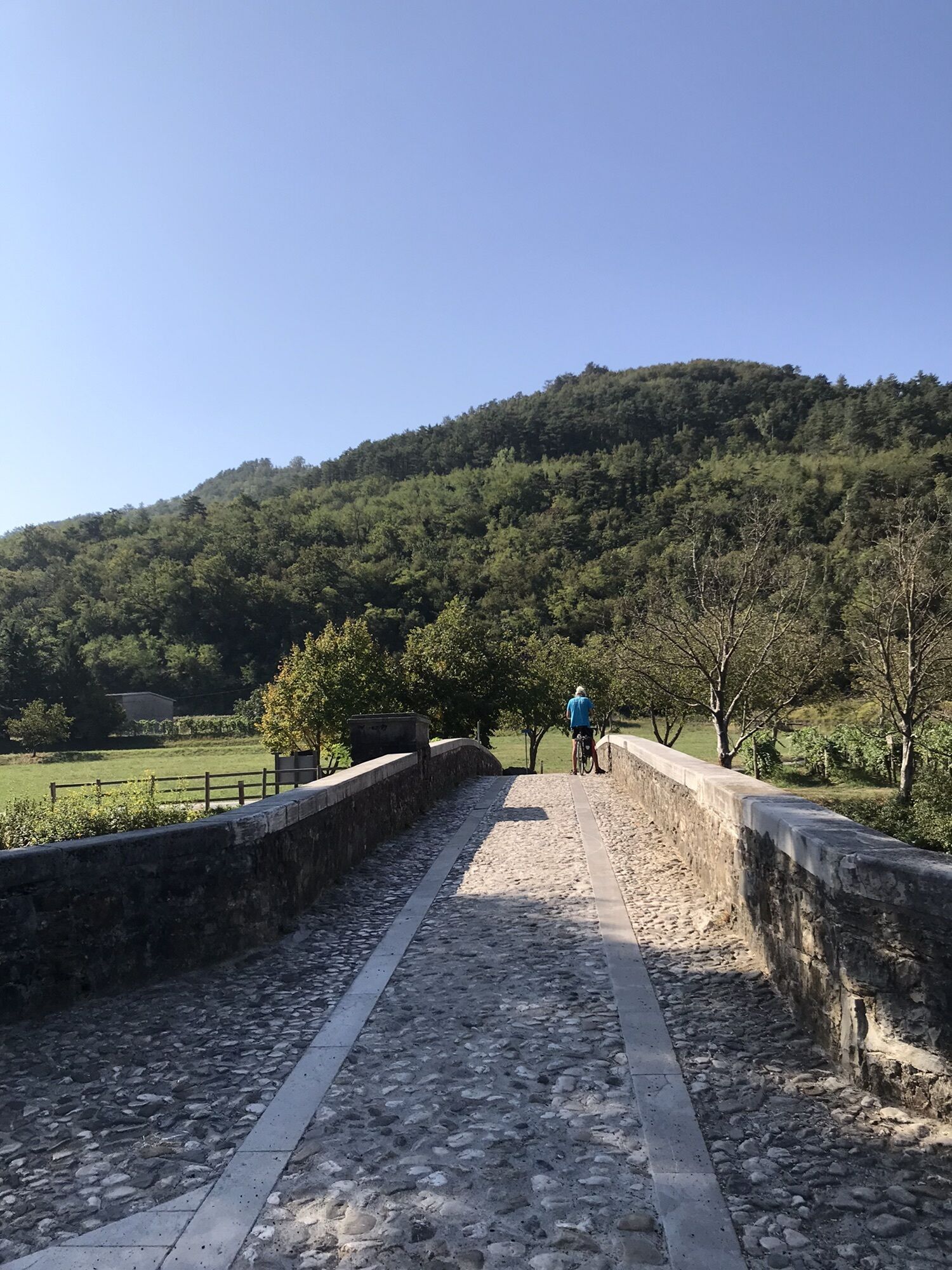
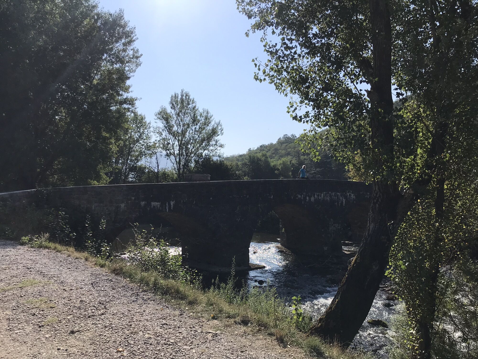
Pedal off from the heart of Ajdovščina after taking a look at the well-preserved ruins of the Roman fortress Castra. Continue westward, through the city center up to the church of St. John the Baptist, where you will turn right towards the north. You will soon reach the town’s pool complex, where you will turn left to leave the main road onto a well-maintained gravel road. Stay on this road along the Lokavšček stream until you get to the village of Lokavec. You’ll have a great view of the Otlica Natural Window (Otliško okno) on the slope of the Gora Plateau. Lokavec is where you’ll turn left to descend down to the main road from Ajdovščina to Predmeja, which you will take west towards Ajdovščina. Otherwise Lokavec is one of the biggest villages in the Vipava Valley and it is known for its cherry production, one of spring’s first fruits in these parts. When you get to the big intersection follow signs to the village of Cesta and enjoy the new, quiet paved road. Once in Cesta cross the main road Ajdovščina – Nova Gorica and then turn left towards the east. Soon you’ll come to and cross the railroad tracks before climbing up to the picturesque village of Vipavski Križ, an old town that now houses a Franciscan monastery with an impressive library. Vipavski Križ is one of the most beautiful pieces of historical and cultural monuments in Slovenia. After taking a look at the town, bear right and descend into Male Žablje. When you leave the village, turn right toward Velike Žablje and soon you will cross the Vipava River. Anyone who would like to dip their toes in the river can get down to water level right past the bridge on the left. In Velike Žablje you will turn left off the road across from the chapel and to the right of the signs with tourist information. The trail leads along a narrow lane to a well-maintained gravel road, which will take you along the Vipava River, through orchards and vineyards, and past the old stone mill, all the way up to the village of Dolenje. Take a left here and ride along the paved road to the village of Planina. Right before the climb you’ll make a left, and descend a bit to a gravel road that begins right at Napoleon’s bridge across the Vipava River. The gravel road will continue through some vineyards and right before the village of Slap will once again become paved. Pedal past Slap to Lože, where you will make the turn towards Vipava. In Vipava you can behold all 7 sources of the Vipava River, the only river in Europe with a delta spring. Leave Vipava and head towards Ajdovščina, where immediately after the army barracks you will turn right onto a gravel road leading through vineyards to the village of Vrhpolje. You will again rejoin the main road here, turning towards Ajdovščina in the west. Duplje is the next town on the way, where you will cross the main road Ajdovščina – Vipava, and you will turn right just after the highway underpass. Continue along the dirt road all the way to Ajdovščina.



Sí


Rutas populares en los alrededores
-
4,6
Nanos
medioSenderismo 7,51 km -
4,0
La ventana natural Otlica
medioSenderismo 10,5 km -
Gradiška Tura (via ferrata) – Abram
pesadoVía ferrata 11,9 km -
Carsus Trail: sendero de gran recorrido por la región kárstica de Eslovenia e Italia
medioSendero de largo recorrido 102,2 km -
5,0
Razdrto - Pleša - Vojkova koča na Nanosu
medioSenderismo 5,45 km -
5,0
Camino por el borde
luzSenderismo 14,5 km -
Educational Trail along the River Hubelj
luzSenderismo 3,79 km -
5,0
Vipava - Oltar - Gradiška Tura
medioSenderismo 3,85 km -
Por los caminos de Vertovec
luzSenderismo 17,7 km -
Camino circular Skrlanka
luzSenderismo 5,75 km

Senderismo y rastreo


No se pierda las ofertas y la inspiración para sus próximas vacaciones
Su dirección de correo electrónico se ha añadido a la lista de correo.





