



Alajoki cultural landscape route

Alajoki’s cultural landscape consists of fields that stretch on either side of the river, an area that has often flooded in spring in the recent past. Flooding is now less likely as flood protection has...
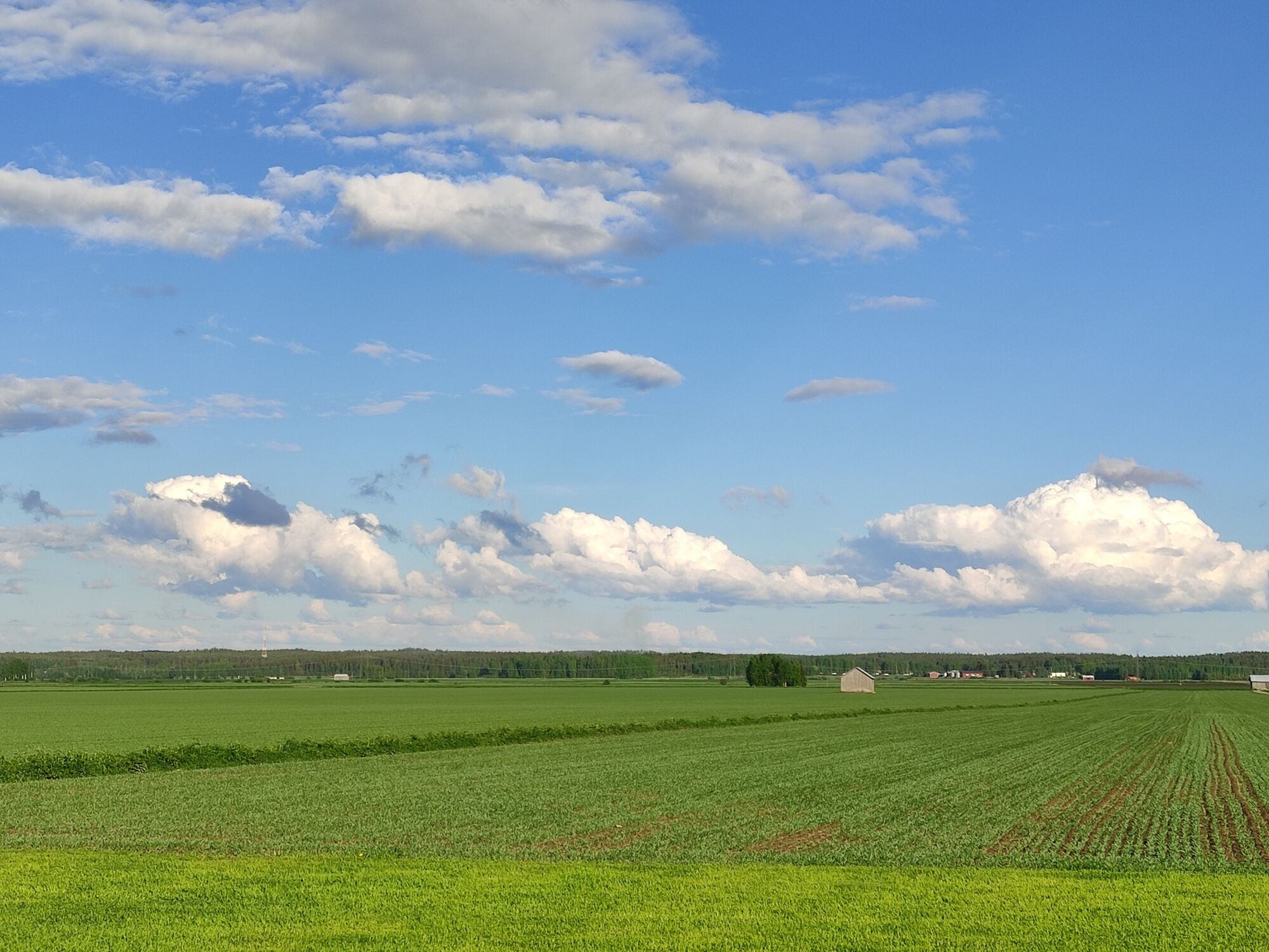
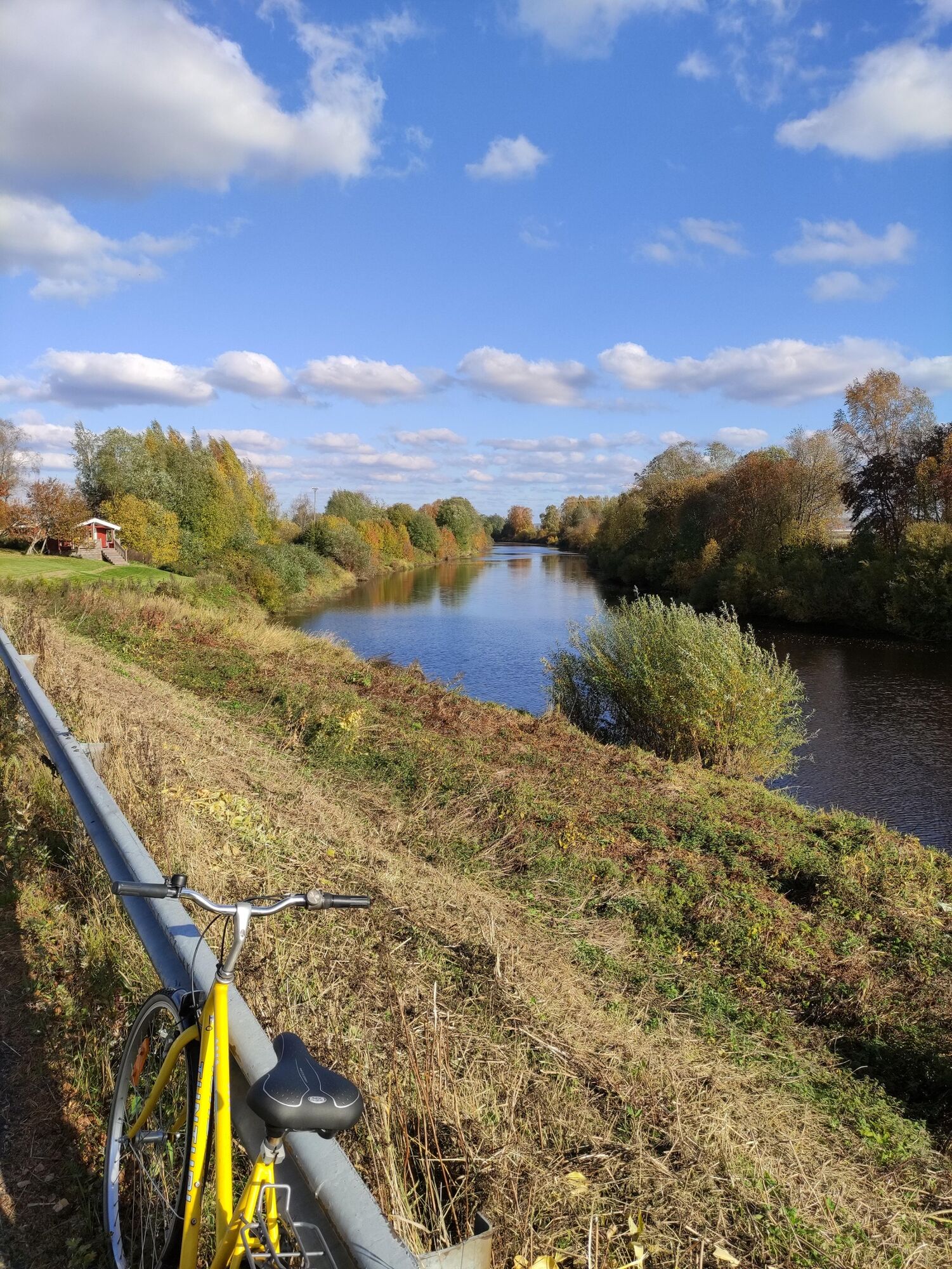
Alajoki’s cultural landscape consists of fields that stretch on either side of the river, an area that has often flooded in spring in the recent past. Flooding is now less likely as flood protection has been improved. Alajoki is located on the border between Ilmajoki and Seinäjoki, making it easy to reach from either location. Alajoki has been classified as a natural site of national value. In addition to open fields, the route runs though forests and villages. As the route travels close to the centres of Ilmajoki and Seinäjoki, the visitor attractions and services in these towns are within easy reach.

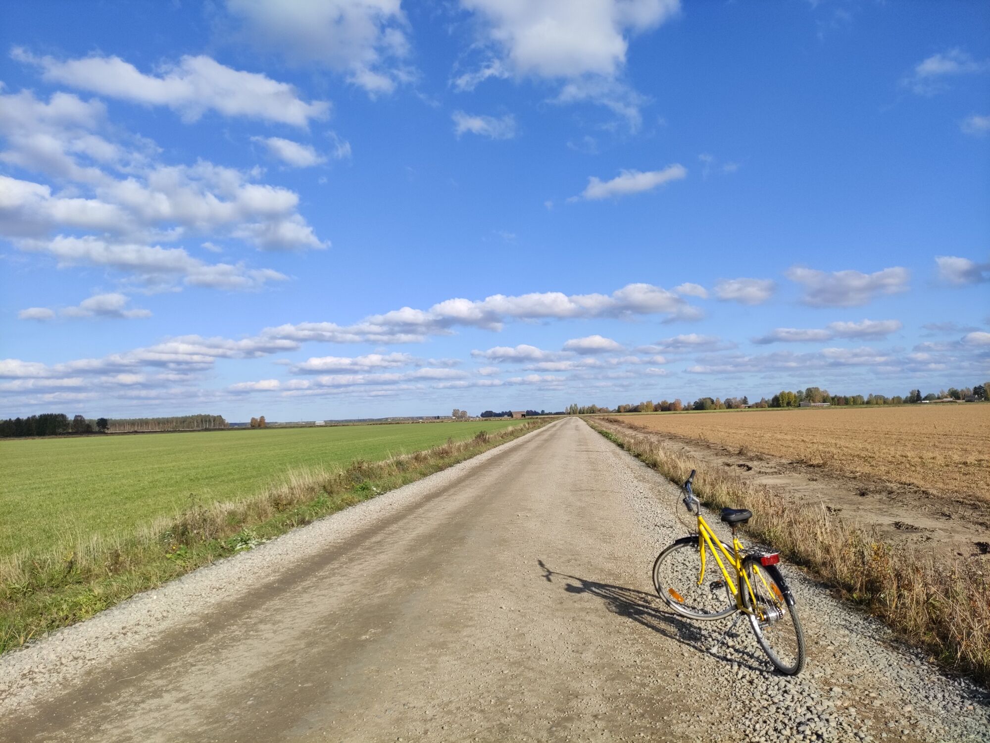

As the route makes a full loop, it can be started anywhere but for these instructions, we selected Herkooli Manor in Ilmajoki as our starting point, departing from the Nikkola bridge towards Nikolantie. At the crossroads, turn left onto Nikkolantie and continue for about 2 km to the Kahrakuusentie crossroads. Cycle along Kahrakuusentie for 6.5 km until the road turns right. Here you can find Jussi’s riverside saunas that can be booked for bathing or other gatherings and a bird tower that is ideal for spotting migratory birds. Kahrakuusentie is a gravel road.
Kahrakuusentie carries on for another 2.6 km and ends at Suupohjantie. Here, turn left onto a cycling route. Continue for 2 km towards Alakylä and turn left onto Katilantie, which
runs underneath Suupohjantie. Ride along Katilantie for 2 km until you come to Katilankylä, where the route turns right onto Niemistöntie. Continue on this road for 3.5 km until Vaasantie (the name of the road changes to Heikkiläntie in the last section).
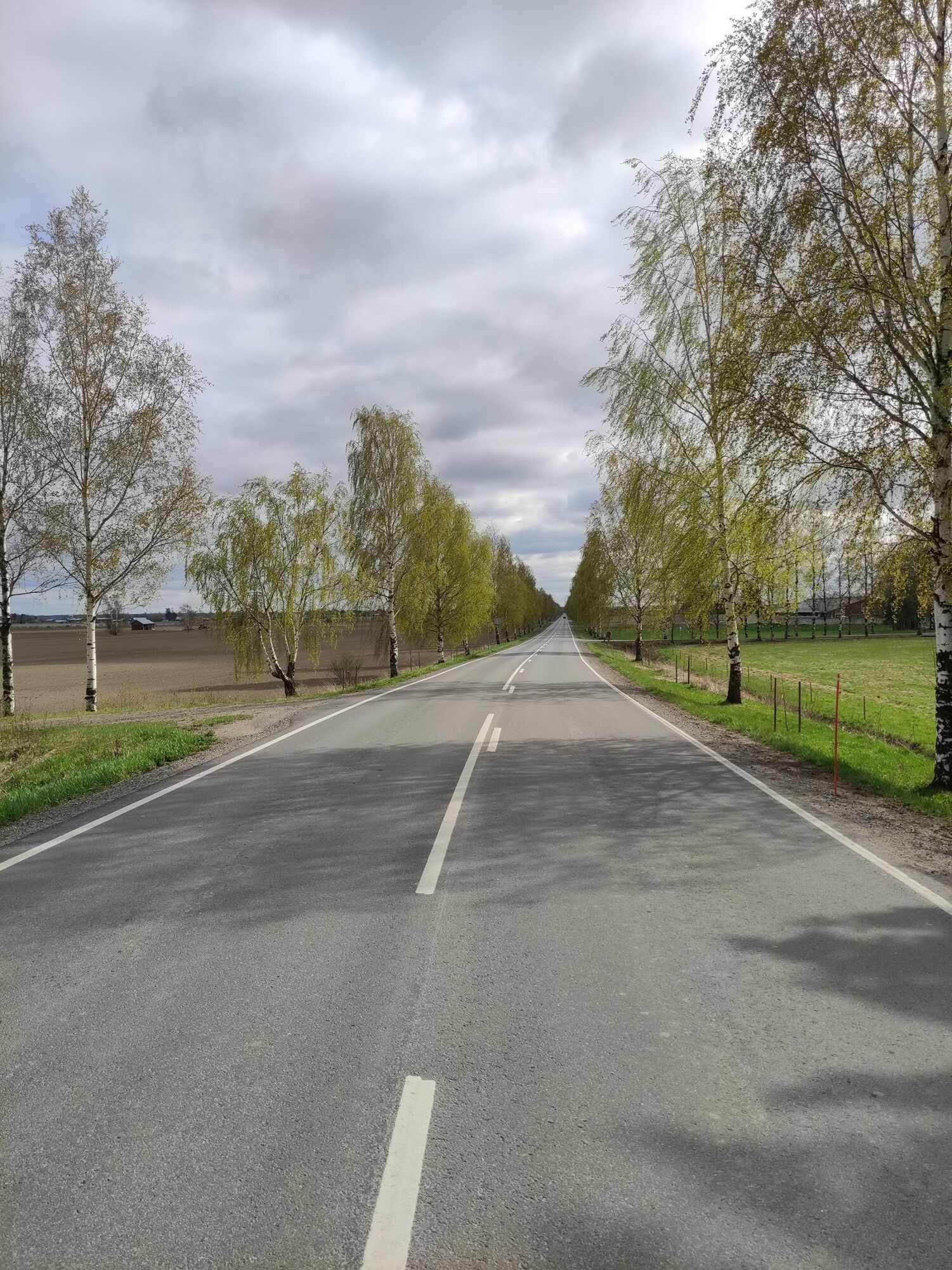
In Heikkilä, turn left onto Vaasantie and cycle for 6 km towards the crossroads of Halkosaari and Munakka. At the crossroads, turn left onto Munakantie (road 7013) and continue for 11 km. Munakka’s summer kiosk is located on this section of the route. Once you arrive in the village of Könni, turn left onto Könnintie and continue for 6.5 m until the Nikkola bridge. Harjunmäki’s summer kiosk is located along this stretch.
Sí
Standard bicycle equipment is sufficient for the route, even though bicycles with very narrow tyres are not recommended as parts of the route run along roads across fields that may have gravel on them.
Some sections of the route run on roads also used by tractors. Particularly in spring and autumn, extra care should be taken as more agricultural machines use the roads.
Seinäjoelta on linja-autovuoroja Ilmajoelle. Autoissa ei välttämättä ole mahdollisuutta pyörän kuljettamiseen, joten se kannattaa tarkistaa liikennöitsijältä etukäteen. Reitti kulkee Alajoen vieritse Nikkolantietä, jonka varrella on pysäkki.
If your schedule allows you to choose, a still day may be better as the South Ostrobothnian plains do not offer protection against wind. There are two summer kiosks along the route, one in Munakka and the other in Harjunmäki.
Rutas populares en los alrededores
-
Kyrkösjärvi Nature Trail
medioSenderismo 5,78 km -
Recorrido alrededor del lago Kyrkösjärvi
luzCiclismo 18,3 km -
Ciclismo por parques en Seinäjoki
Ciclismo 21,7 km -
Orisberg, Isokyrö
medioSenderismo 11,4 km -
Paukaneva Trail
luzSenderismo 6,21 km -
Oravapolku Trail
luzSenderismo 0,76 km -
Jouppilanvuori Trail running route
Senderismo 6,60 km -
Accessible Jouppilanvuori Adventure Trail
Senderismo 6,75 km -
Roves - Kivistö - Seinäjoki - Huhtala
luzGravelbike 29,4 km -
Seinäjoki - Kansanlähetys Etelä-Pohjanmaa - Hyvän paimenen kappeli
medioGravelbike 60,8 km
Senderismo y rastreo


No se pierda las ofertas y la inspiración para sus próximas vacaciones
Su dirección de correo electrónico se ha añadido a la lista de correo.


