




Midsummer’s Dream cycling route

The circular route travels via Kauhajoki, Kurikka and Jalasjärvi. At the southern end of Kauhajoki, you can see the spectacular Katikankanjoni, a canyon that is 20 metres deep in certain places. Towards...
The circular route travels via Kauhajoki, Kurikka and Jalasjärvi. At the southern end of Kauhajoki, you can see the spectacular Katikankanjoni, a canyon that is 20 metres deep in certain places. Towards Kauhajoki after Katikankanjoni, the route travels across the Hyyppä river valley, which has been classified as a nature site of national importance. It is a fissure valley resulting from the erosion of joints in the bedrock. The route from Kauhajoki to Kurikka takes you along idyllic roads that follow the Kyrö River through small villages. From Kurikka, you head south towards Jalasjärvi and then to Kauhajoki.
Jalasjärvi in Kurikka is home to one of the region’s largest textile companies, Jokipiin Pellava, which has a factory shop that is open on weekdays. In Ilvesjoki in Kurikka, you can find the alcohol factory Pramia, which also has a factory shop and a café. Close to Pramia, you can visit Alpon Savanni, a sculpture park by a contemporary folk artist who uses recycled materials. The charming park displays 150 animal sculptures. Another tour de force of one man’s imagination can be found further ahead along the route in Kammi Village, a group of wooden buildings built on boggy land. It is definitely worth a visit.
In addition to landscapes dominated by fields and the river, the route also takes you through wooded areas. Nummijärvi, which hosts the Nummirock festival every Midsummer, is also located along the route.

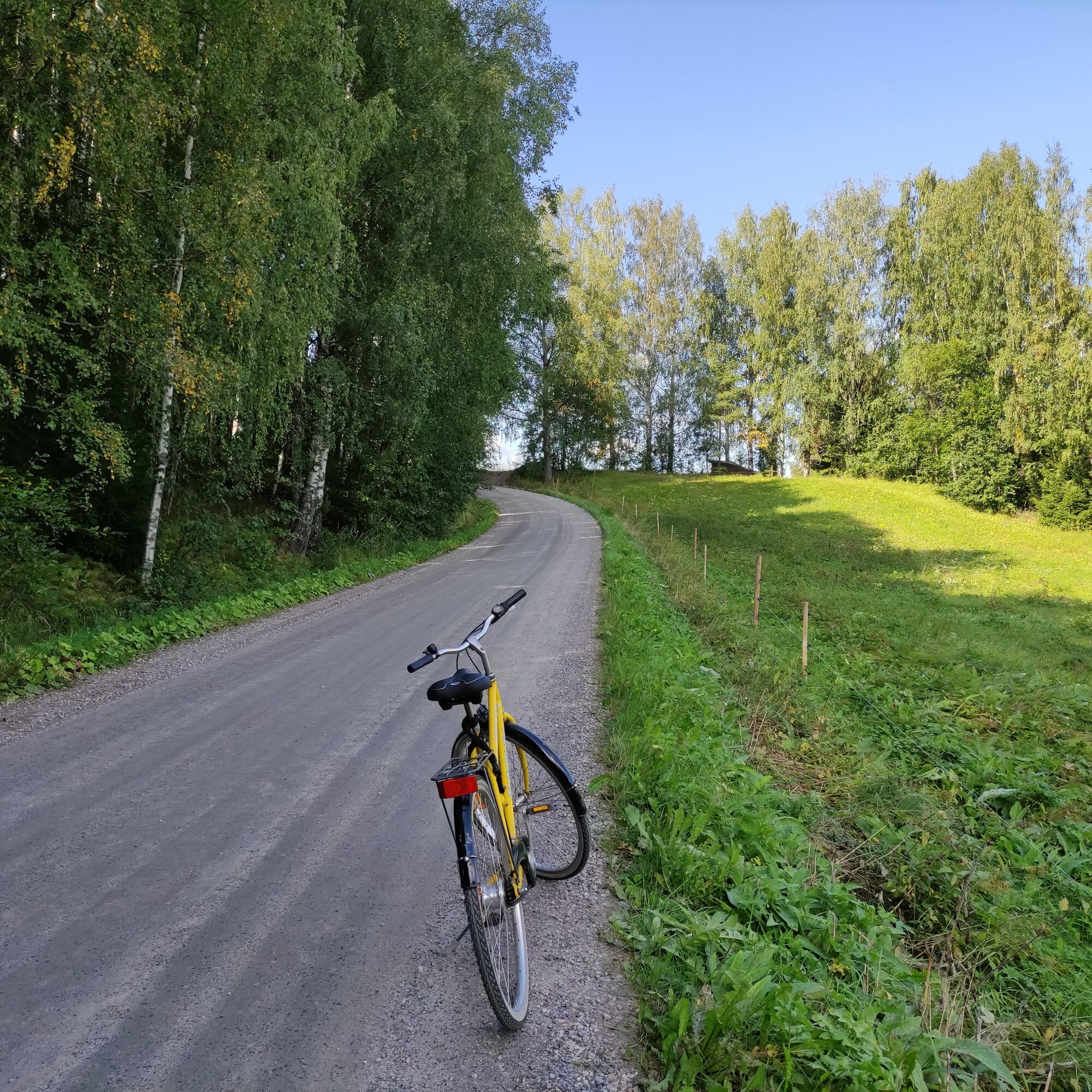

Our instructions for this circular route begin at Kauhajoki, from where the route runs along Road 6900 towards Kurikka. Cycle along the Kyrönjoki riverbank for 23.6 km and then take the first right onto Jyllinkoskentie. If you want to visit the centre of Kurikka, you can continue straight along Road 6900. Follow Jyllikoskentie for 2 km and continue straight across the Lusantie crossroads, after which the name of the road changes to Lusanmäentie. After cycling 800 m, continue under Road 67 and carry on along Myllykyläntie for 11.4 km. Here, you can stop for a refreshing dip in the lake at Pitkämö beach or stay the night at Pitkämö Canyon Camping campsite.
Continue on Myllykyläntie until you reach Road 3/E12, where you turn right. Here, a cycle path runs alongside the road. Cycle on it for 2.8 km before turning onto Oppaanmäentie and continuing for 3 km, after which the route turns right onto Ahonkyläntie. Ahonkyläntie takes you to Jokipii, which is 8.6 km away. (The route does not run past the Jokipiin Pellava factory shop, but we recommend a short detour to it.)
Next, cross Kauhajoentie and continue on Kannontie for 5.1 km, before taking a right onto Tiemestarintie. After cycling on this road for 2 km, turn right onto a cycle path that runs alongside Road 3/E12. Cycle for 10 km before turning right onto Ilvesjoentie (Road 273). After 16.9 km, turn right onto Koivukyläntie. Here, the route takes you into Satakunta for a short stretch. The name of the road changes to Sarantie on the border back into South Ostrobothnia. The crossroads is 9.3 km away. Here, turn left onto Nummijärventie (Road 6700). The Midsummer’s Dream awaits here!
The route continues straight from the crossroads for 3.6 km, before turning left onto Nummilahdentie. After following this road for 2 km, take a left onto Kivijärventie and cycle for 12 km. At the next crossroads, turn right onto Hautalankyläntie, which changes into Jokimäentie after the village. Continue straight on for 14.2 km, turn right onto Road 44 and then left at the next crossroads onto Rahikkatie (also Road 44). A cycle path runs alongside this road. Alternatively, you can choose to cycle along Koskenkyläntie, which runs parallel to Rahikkatie, by continuing on Jokimäentie. If you follow the route along Rahikkatie, turn left towards the centre of Kauhajoki after 5.4 km. Pohjoinen Yhdystie is just over a kilometre long and takes you back to the starting point.
Parts of the route do not contain cycling lanes, and the smaller roads, in particular, are narrow and without a proper hard shoulder. They may also be used by large agricultural machines. Even though other users of the road are typically considerate, you should still be cautious in these sections.
Alpon Savanni along the route is an interesting place to explore. It contains animal sculptures made by a contemporary folk artist who uses recycled materials.
Rutas populares en los alrededores
-
¡Nos vemos en la plaza!
medioCiclismo 54,3 km -
Atracciones de Kurikka
medioMountainbike 12,5 km -
Nuijapolku, Kurikka
medioSenderismo 27,1 km -
Nevahööd
medioMountainbike 42,3 km -
Sisko tahtoisin jäädä, mutta Jokipiintie on kuuma
medioMountainbike 59,0 km -
Drafted on March 20, 2023
medioMountainbike 45,2 km -
Drafted on 2023-03-21
luzCiclismo 16,2 km -
Recorrido por Jalasjärvi
luzMountainbike 19,2 km -
Drafted on 2023-03-21
luzCiclismo 5 km -
Drafted on 2023-03-23
luzCiclismo de carrera 23,8 km
Senderismo y rastreo


No se pierda las ofertas y la inspiración para sus próximas vacaciones
Su dirección de correo electrónico se ha añadido a la lista de correo.





