






N25 Weinlehrpfad Jois
Nivel de dificultad: T1
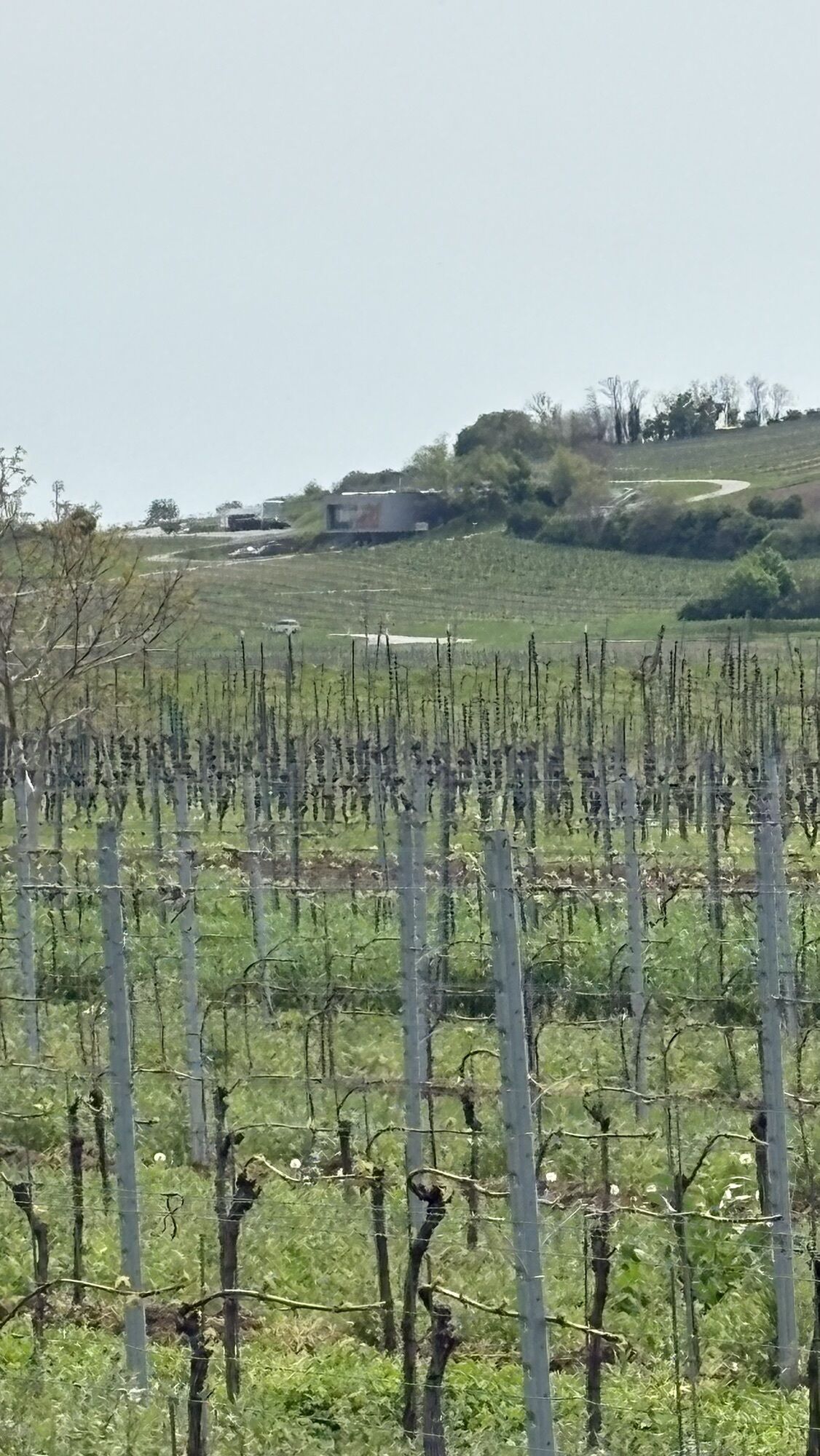
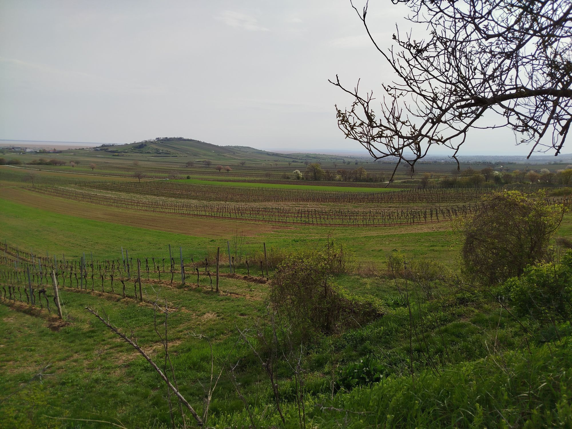
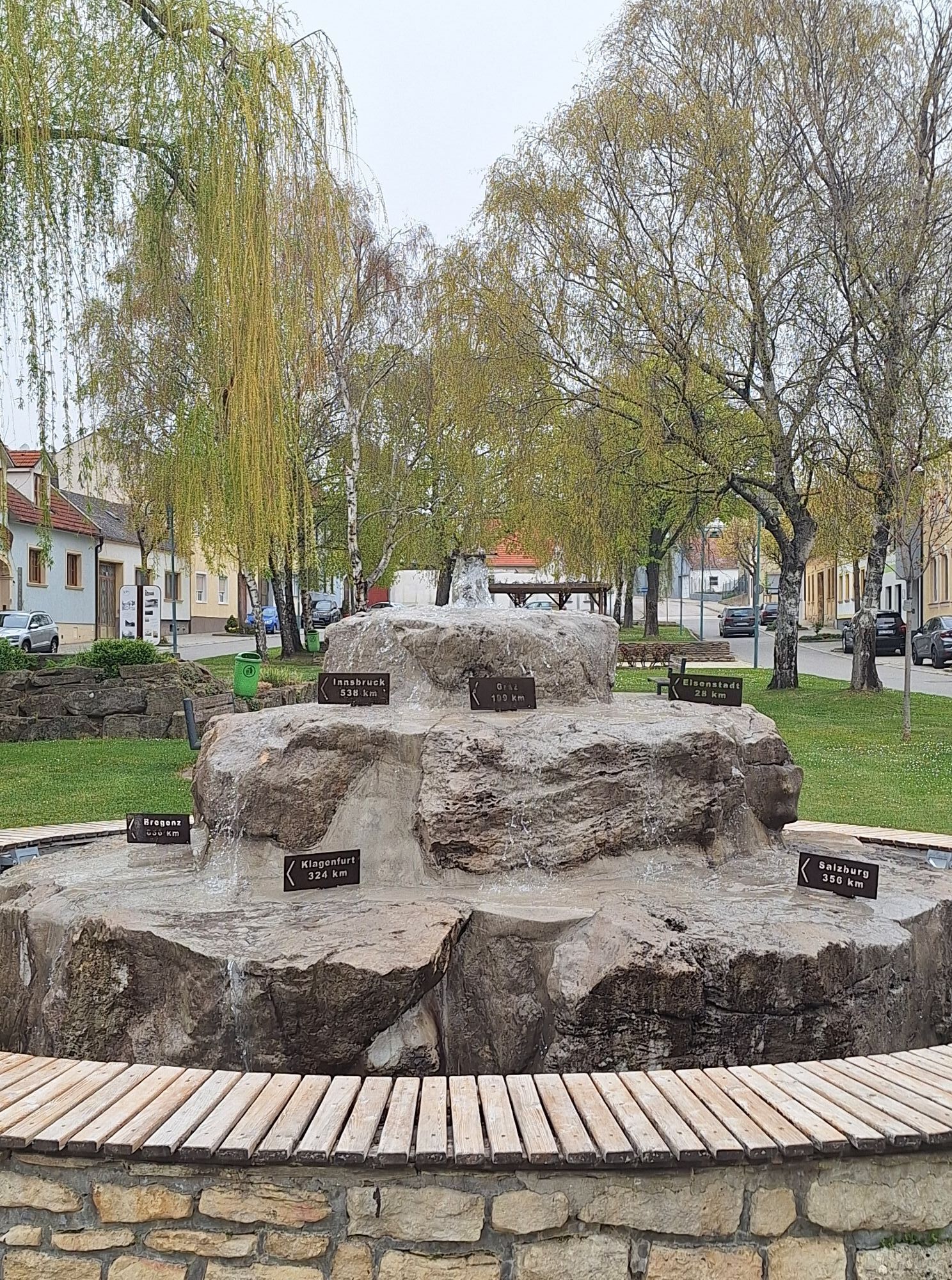
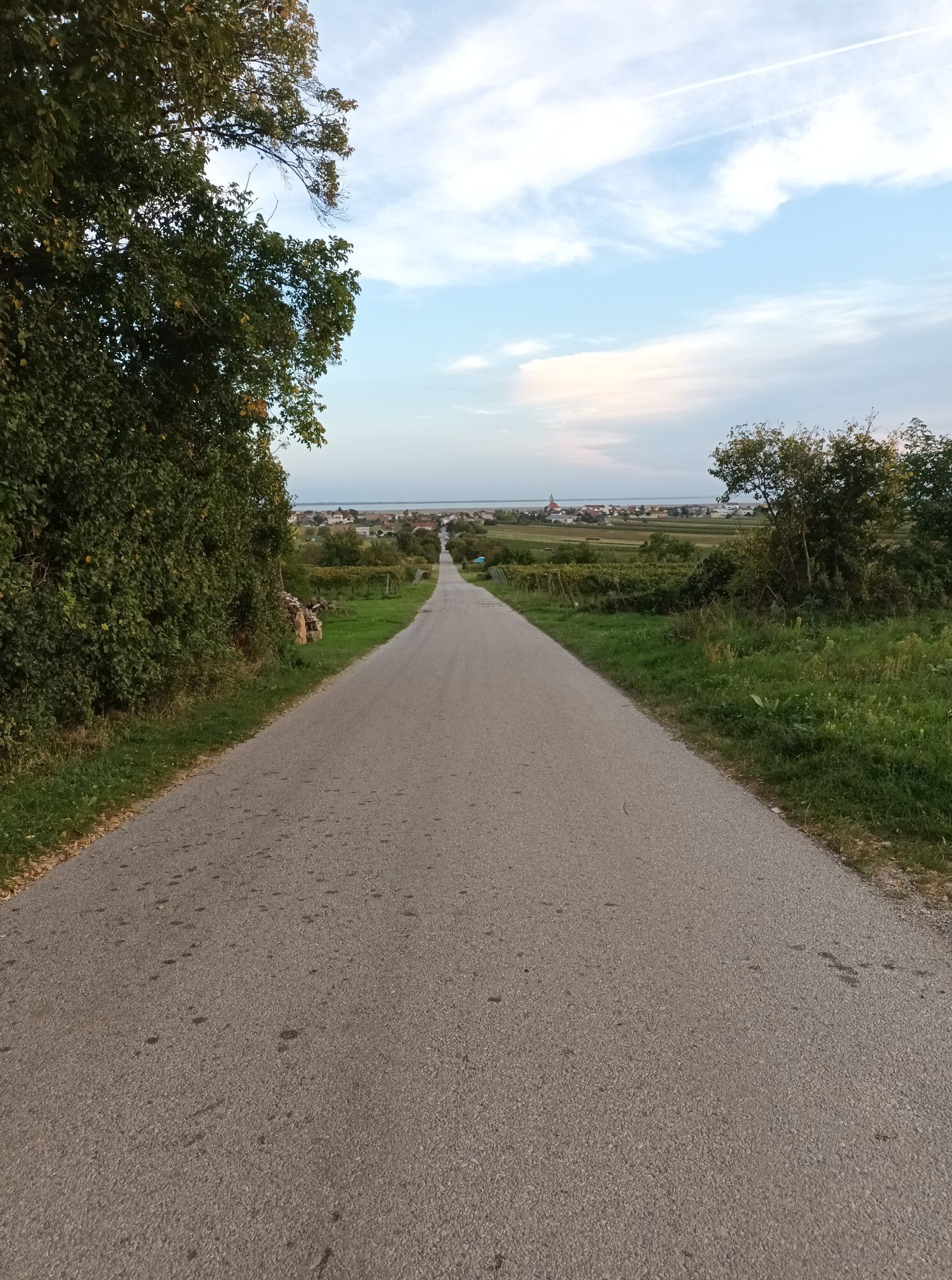
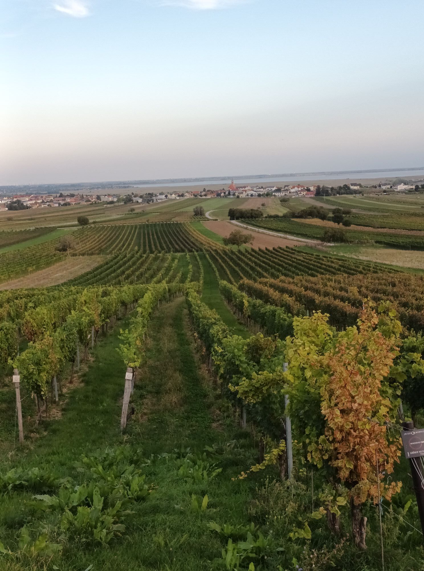
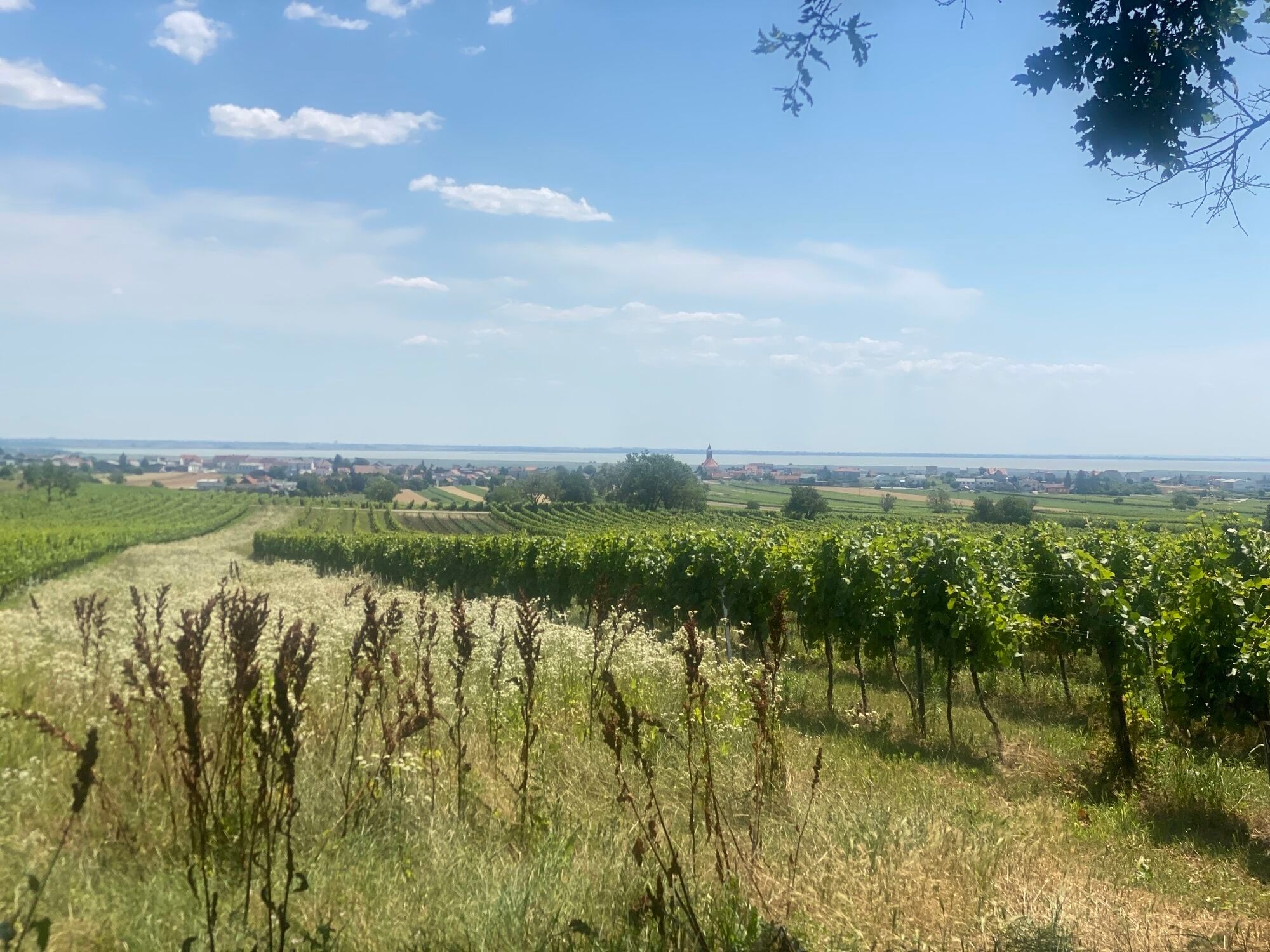
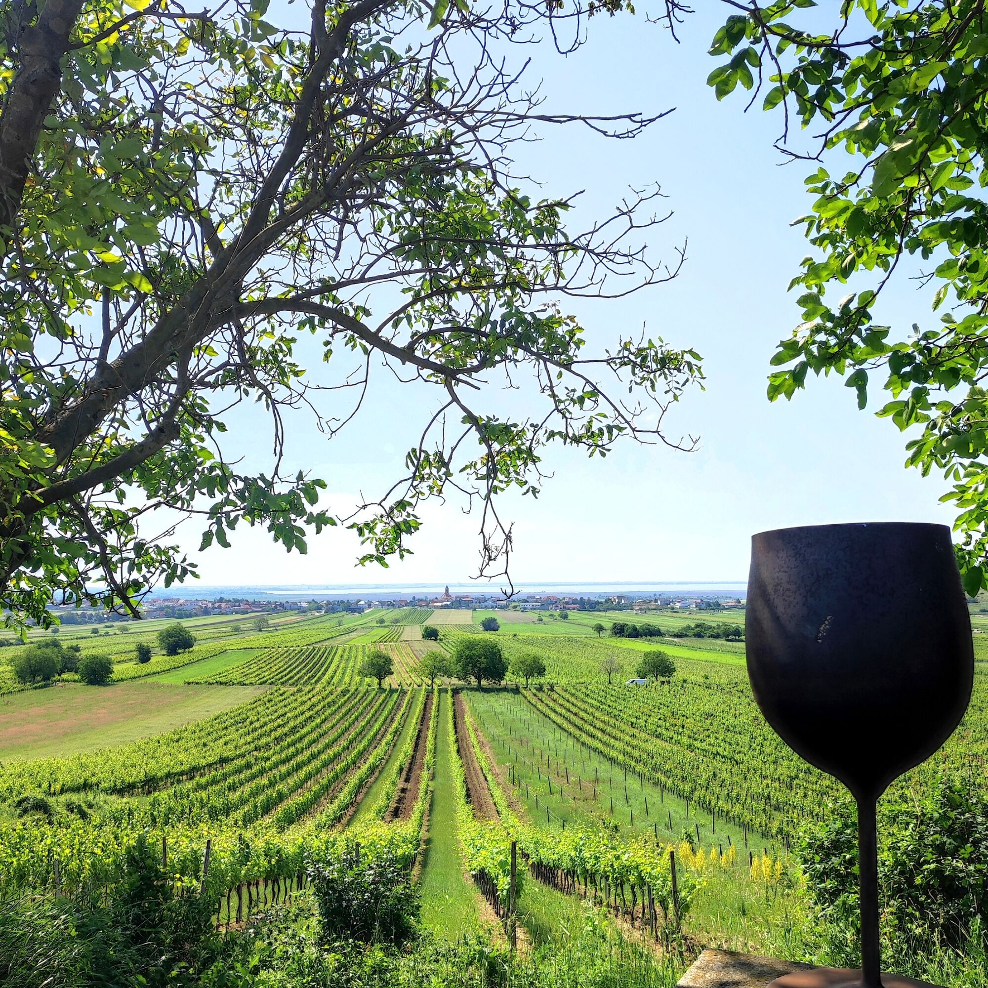
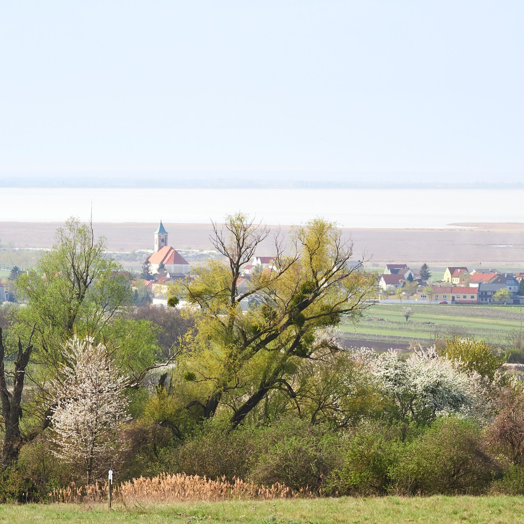
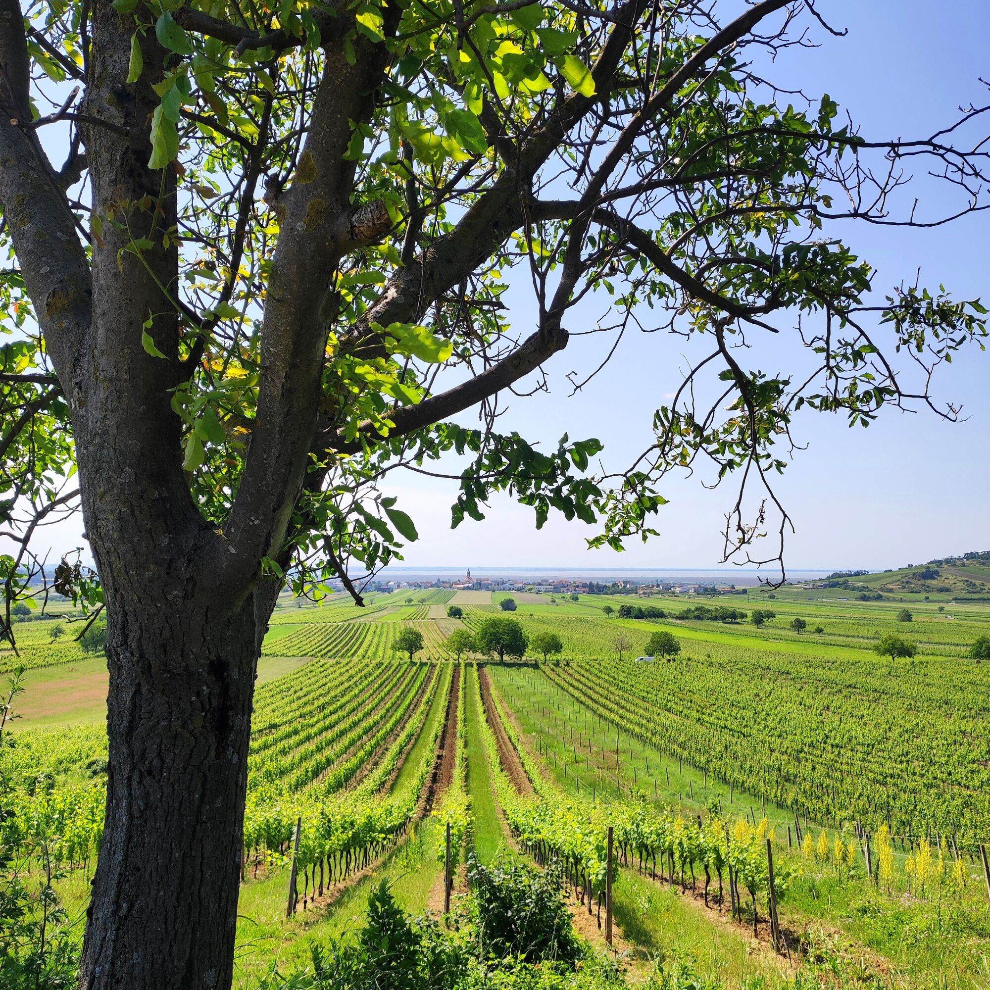
The wine trail takes you through the Jois vineyards, where impressive views of Jois, Winden, and the sparkling waters of Lake Neusiedl await you. Here you can also enjoy the typical Pannonian vista: the...
The wine trail takes you through the Jois vineyards, where impressive views of Jois, Winden, and the sparkling waters of Lake Neusiedl await you. Here you can also enjoy the typical Pannonian vista: the light, the wide plains, and the characteristic reed belt of Lake Neusiedl give the trail an unmistakable landscape that is inspiring in every season. A highlight along the route is the barefoot trail at the Hubertus Chapel—let yourself be surprised!

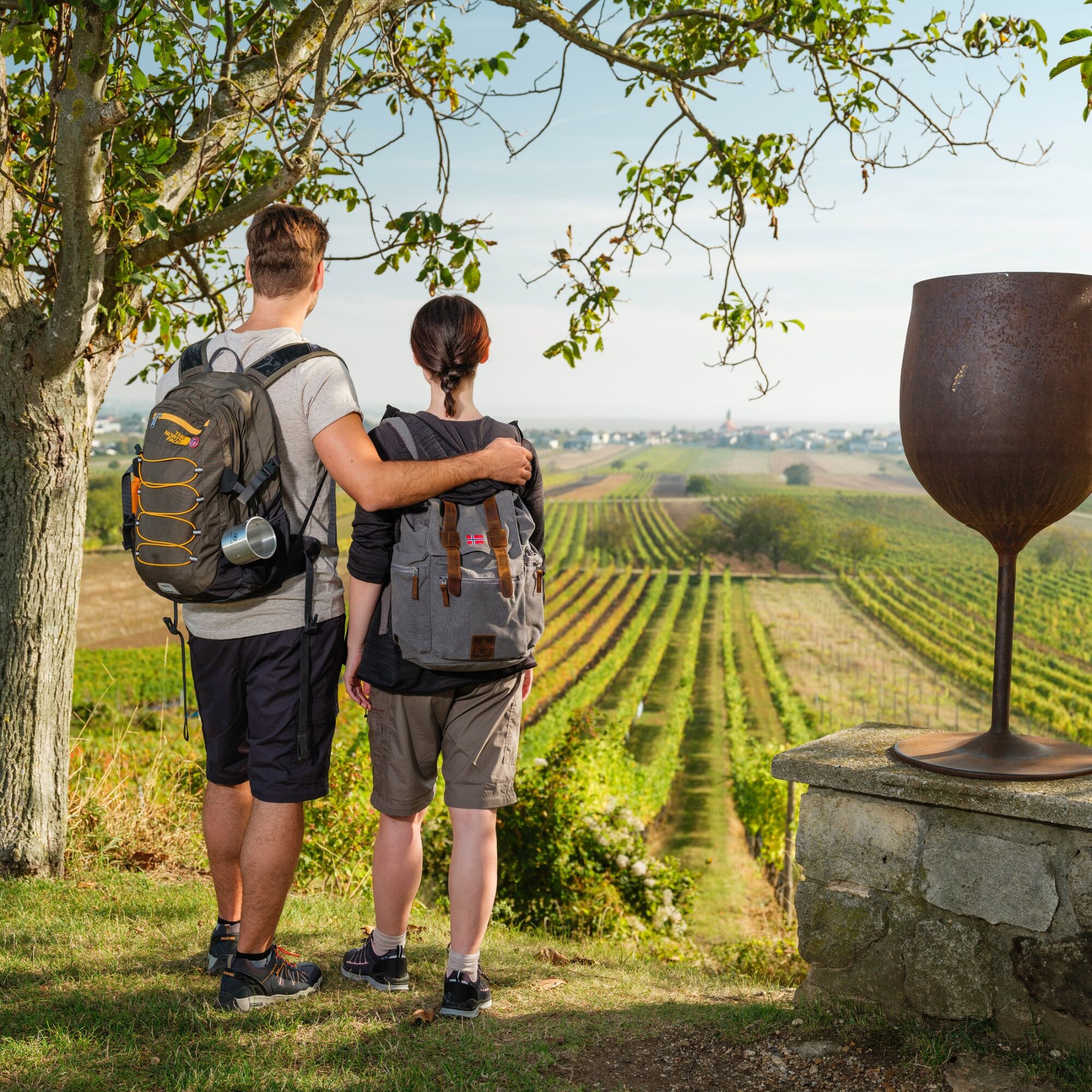
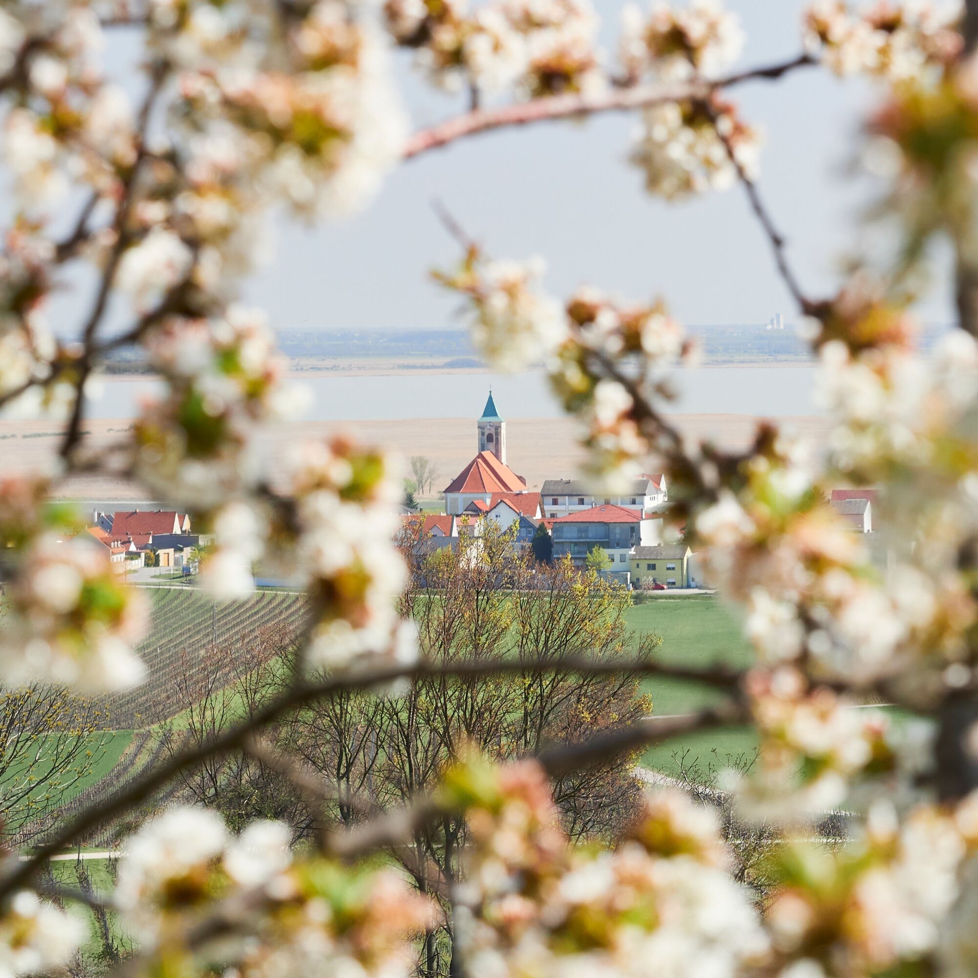

The wine trail is easily accessible to the public. You can start either directly at the train station in Jois or at the municipal office.
In the village, you will walk past beautiful farms and wineries until you arrive in the middle of nature.
At ten lovingly designed stations, you will learn interesting facts about the region, the traditional work of the winegrowers, and the most important grape varieties.
Eye-catching oversized wine glasses mark the trail and serve as distinctive landmarks.
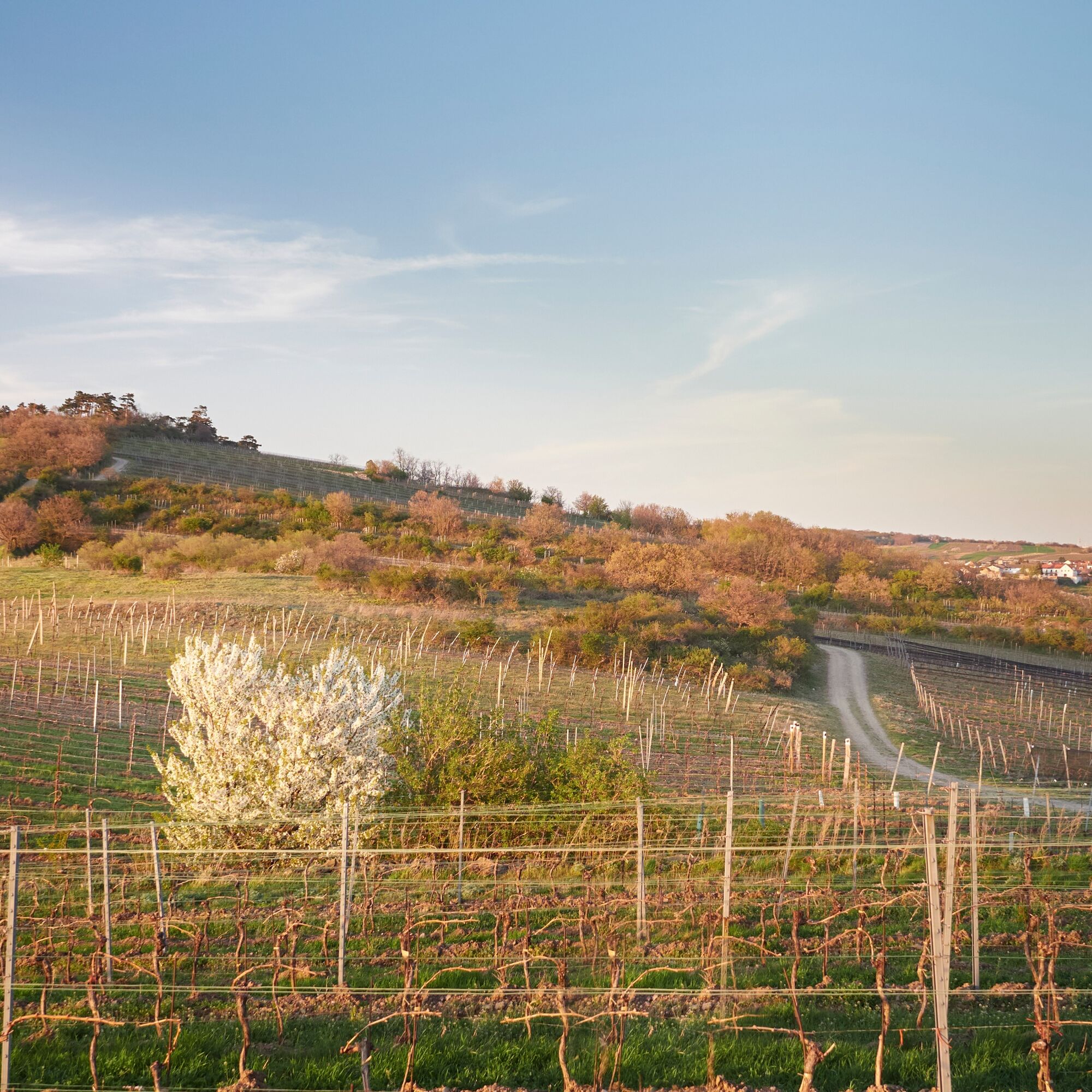
Along the way, you can enjoy views of the Hackelsberg and Jungerberg mountains—an important nature reserve that provides habitat for numerous plant and animal species.
Along the way, you can experience the seasonal changes in flora and fauna: from the delicate budding of the vines in spring to the buzzing of insects and birdsong in summer to the golden colors of autumn and the tranquil landscape in winter.
A special highlight is the barefoot path at the Hubertus Chapel, which is located directly on the wine trail. It invites you to consciously feel the ground, the natural materials, and the surroundings with your feet—an unexpected moment of mindfulness in the middle of the Jois vineyards.
Whether as a short break, an introduction to the world of Burgenland wine, or a nature experience for the whole family, the Jois Wine Trail combines nature, culture, enjoyment, and knowledge in a unique way.
Sí
Detalles sobre la llegada aquí: Calcular ruta
Arrival by train:
Lake Neusiedl is easily & comfortably accessible by train. No matter if you come from Switzerland, Germany, western or southern Austria: you can relax and change at Vienna Main Station. The regional trains of ÖBB will take you to Neusiedl am See station in just under 40 minutes, where coordinated bus and train connections towards Pamhagen / Fertöszentmiklos or Eisenstadt and Sopron are also offered. In most trains, bicycle transport is possible: on Railjet and EC/IC as well as Nightjets, a reservation for your bicycle is absolutely necessary. In regional trains, your bicycle is taken along without reservation subject to availability of existing bicycle spaces.
Timetable info: ÖBB
T1
With the Burgenland Card: Endless holiday enjoyment & offers as far as the eye can see!


Rutas populares en los alrededores
-
4,6
Kirschblütenradweg
medioCiclismo 43,2 km -
4,0
Ruta ciclista del Neusiedler See con cruce del lago
pesadoCiclismo 75,4 km -
4,6
Kloster St. Anna & Ruine Scharfeneck zu Mannersdorf
luzSenderismo 5,27 km -
4,2
MANNERSDORF, St.Anna, Aussichtspkt. Stb.1 Ruine Scharfeneck, F.J.Warte, Aussichtspkt. Stb.2 20230329
medioSenderismo 16,5 km -
4,6
Ochsenbründlrunde
luzSenderismo 8,34 km -
4,4
About / around the Burgstall
medioSenderismo 10,1 km -
4,4
"Ruta del contrabando" de Donnerskirchen a Mannersdorf
pesadoSenderismo 18,8 km -
4,8
From the Field of Honor to the Kingdom of Heaven
medioSenderismo 6,98 km -
4,0
Mannersdorf Wüste - Gipfelkreuz - Ruine - Labyrinth
luzSenderismo 9,32 km -
4,0
N21 WeinWeg Gols
pesadoSenderismo 13,0 km
Senderismo y rastreo


No se pierda las ofertas y la inspiración para sus próximas vacaciones
Su dirección de correo electrónico se ha añadido a la lista de correo.





