






"alpannonia" stage 6 Geschriebenstein/Pass – Kőszeg
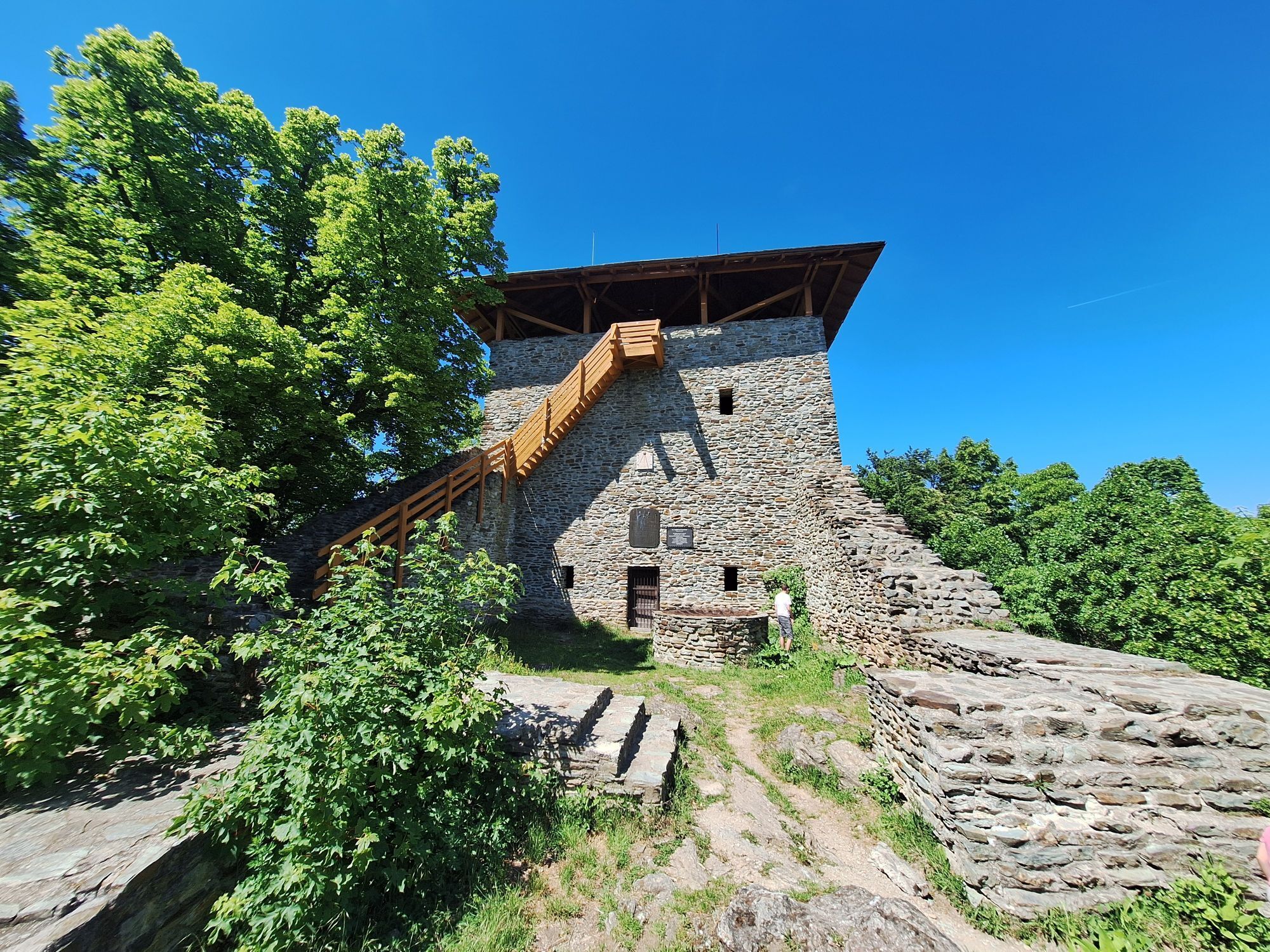
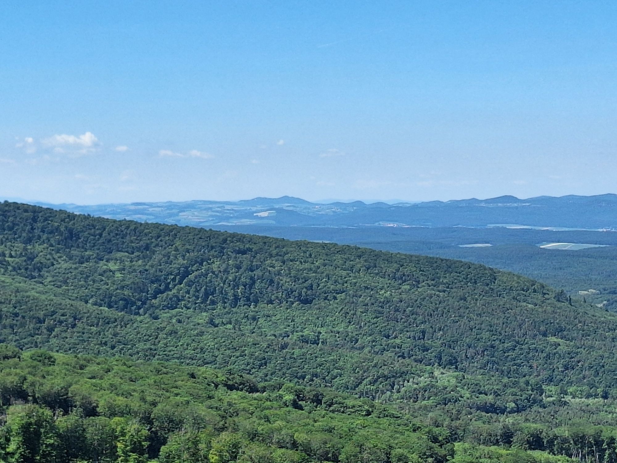
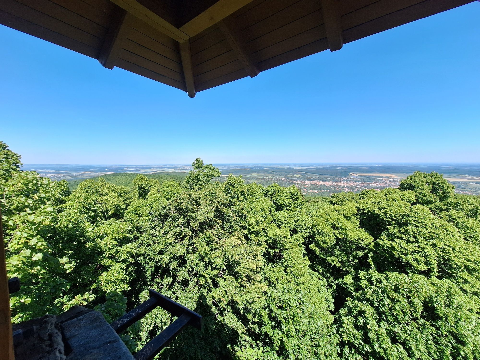
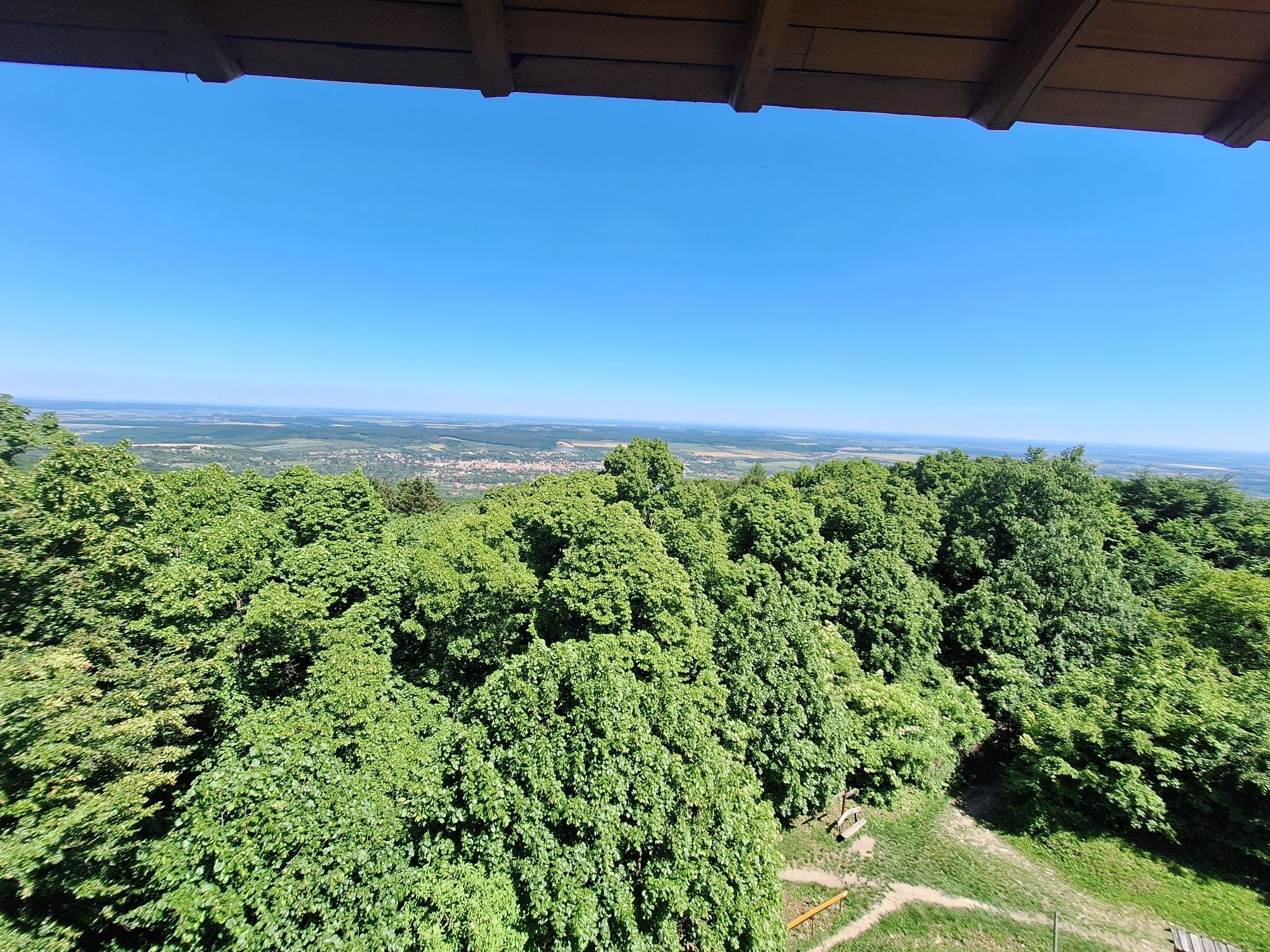
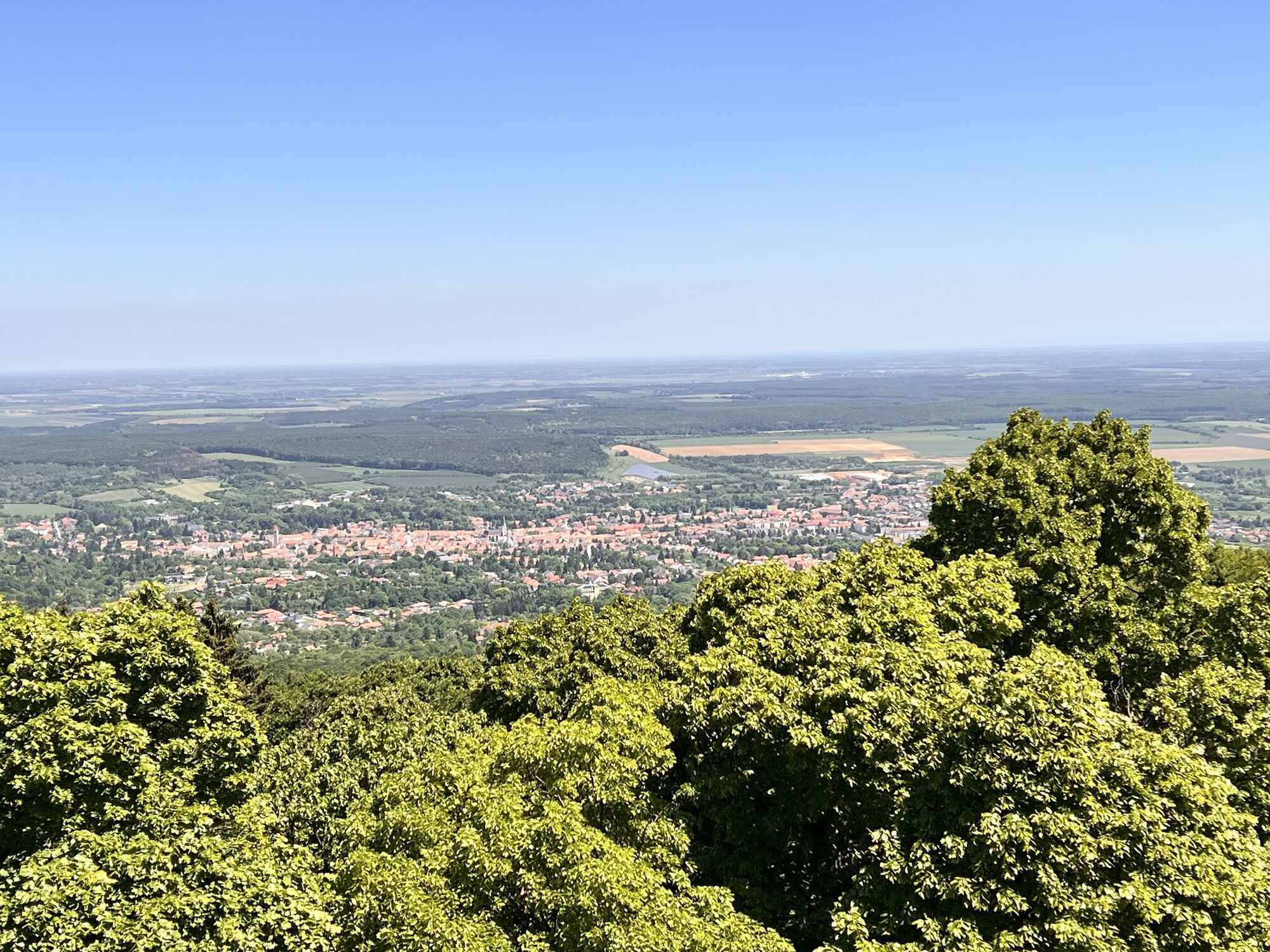
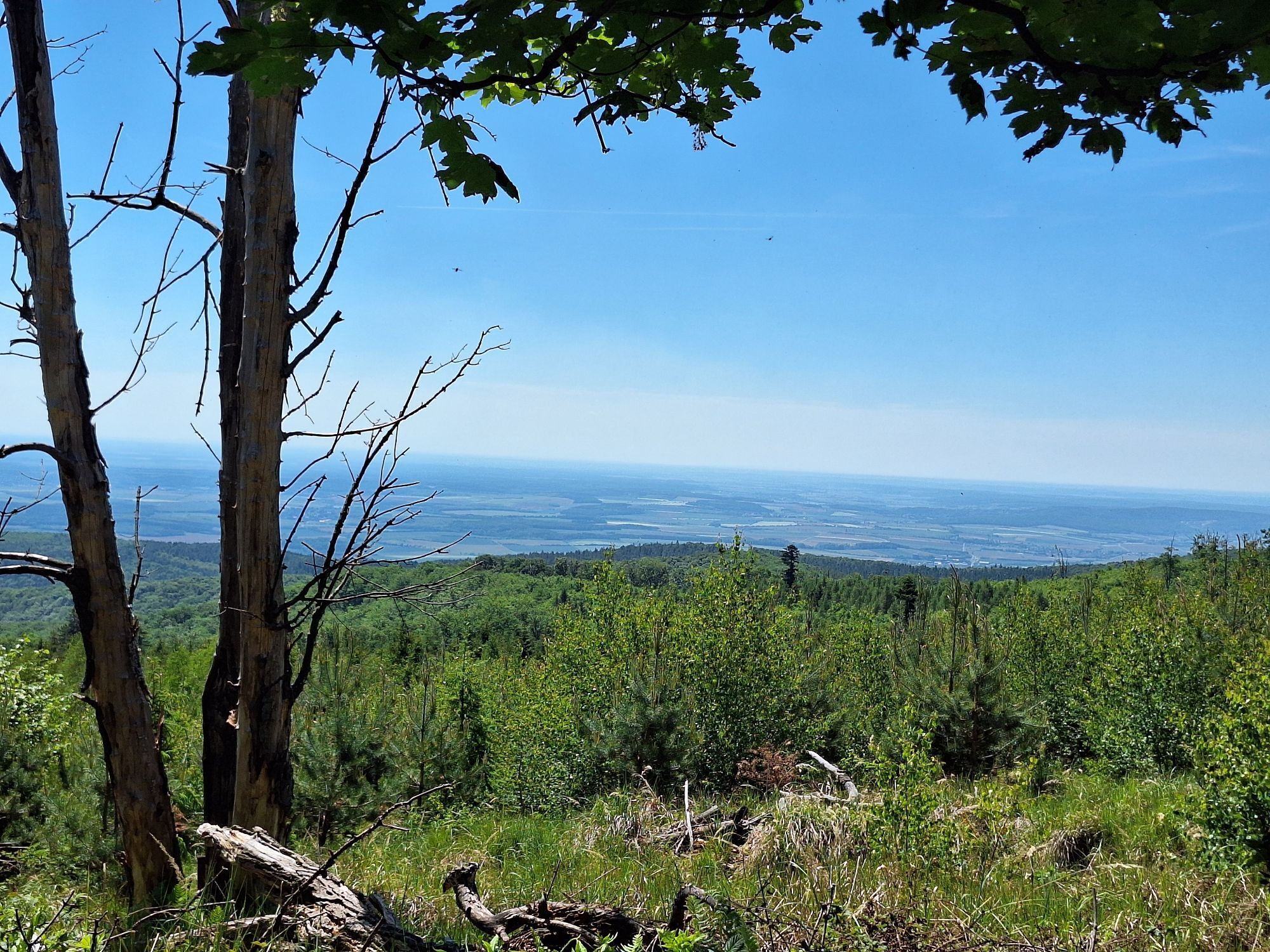
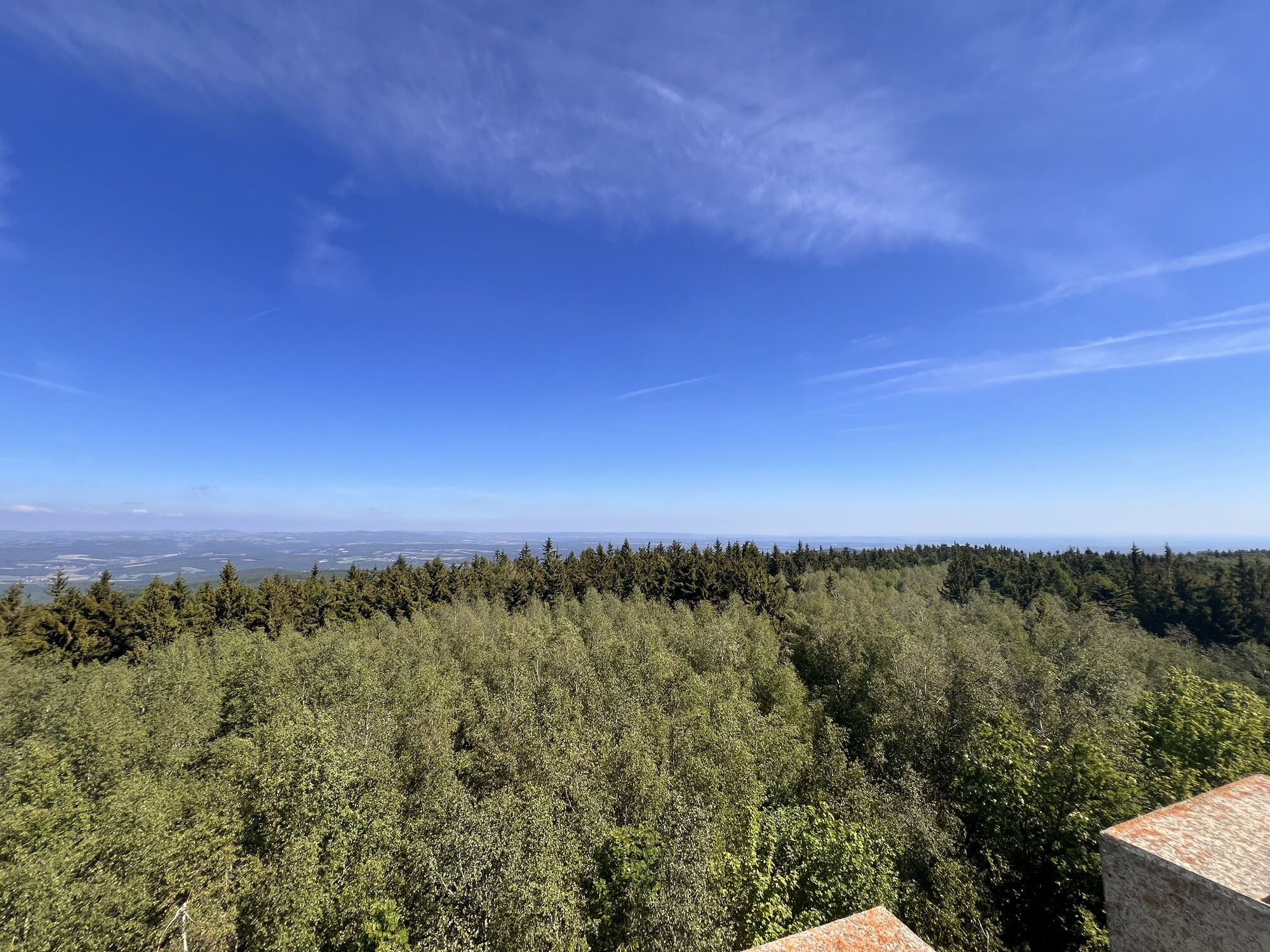
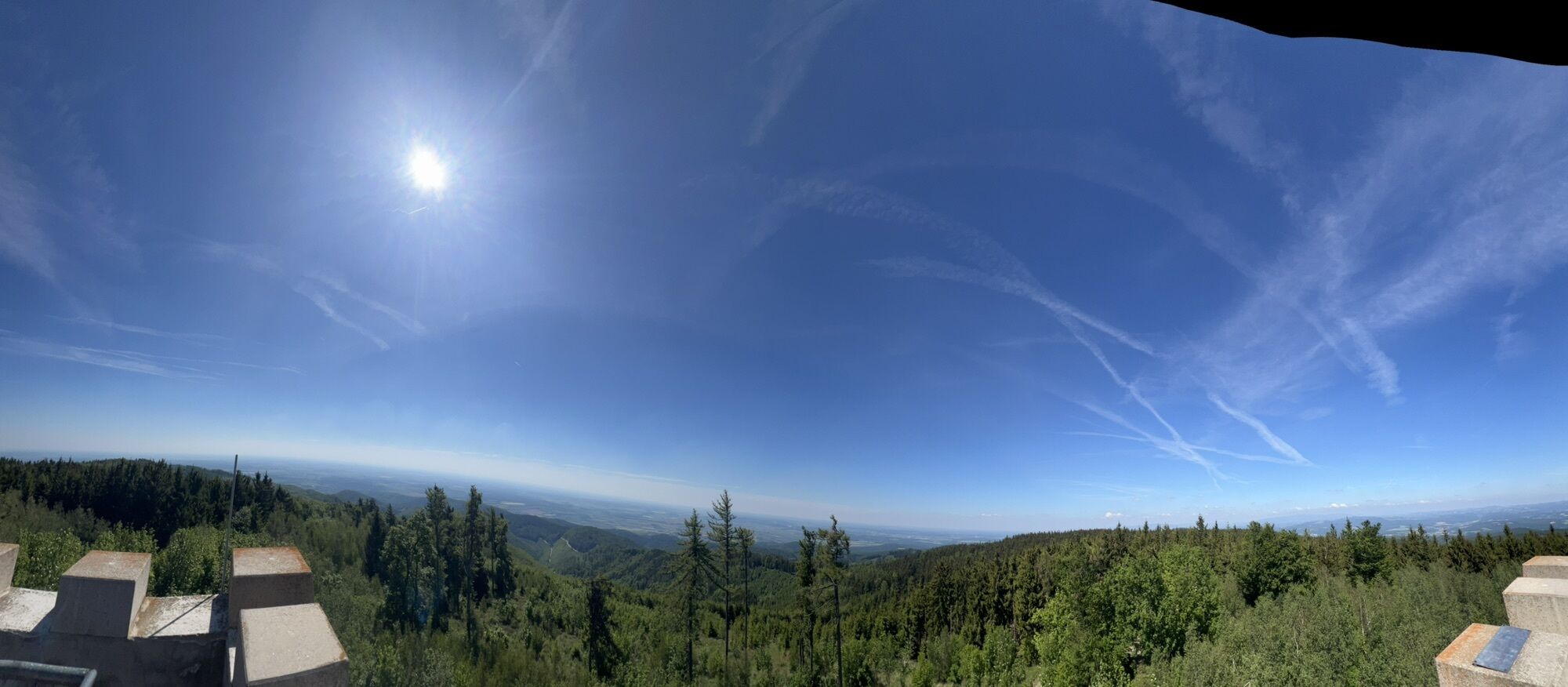
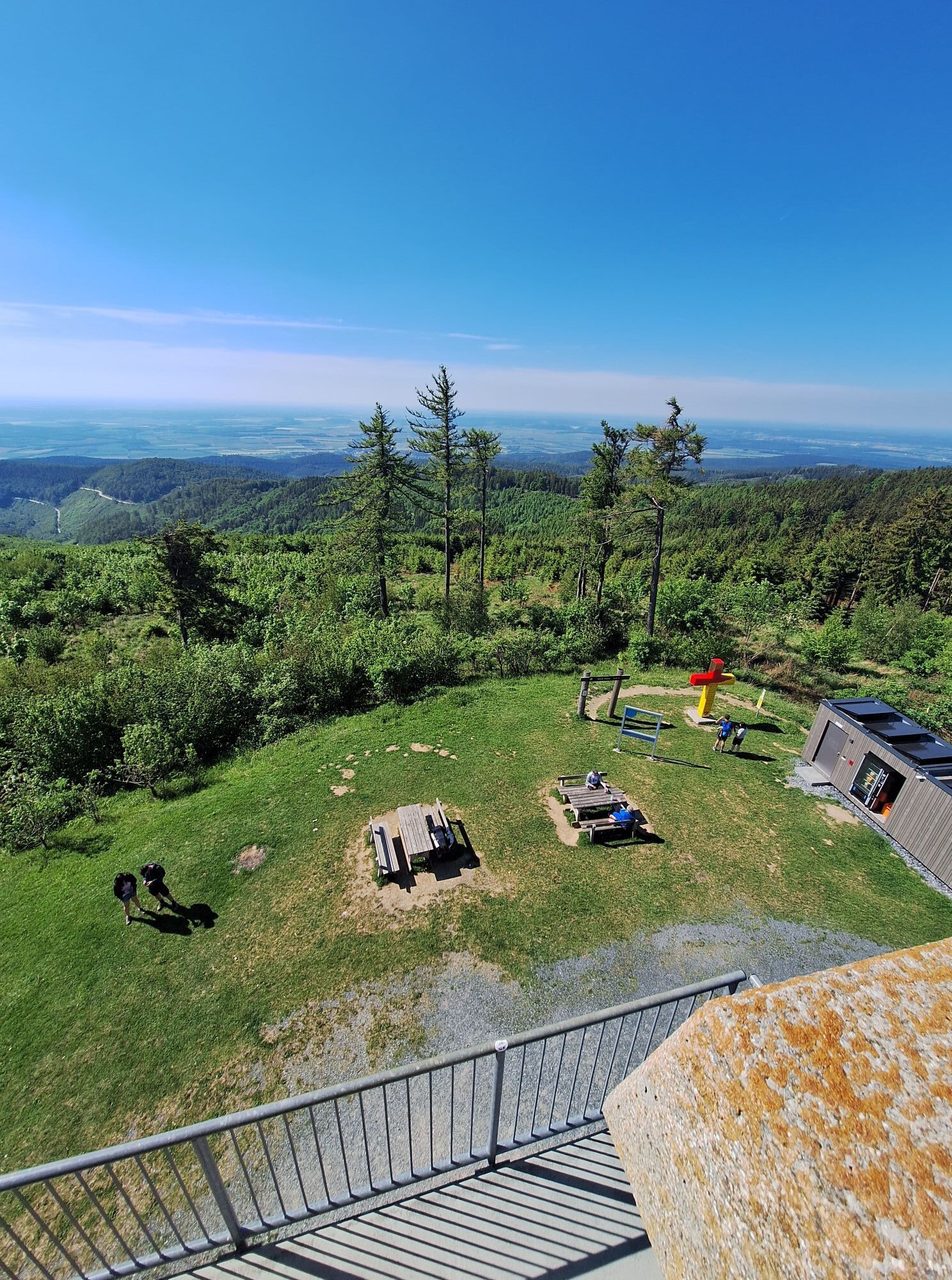
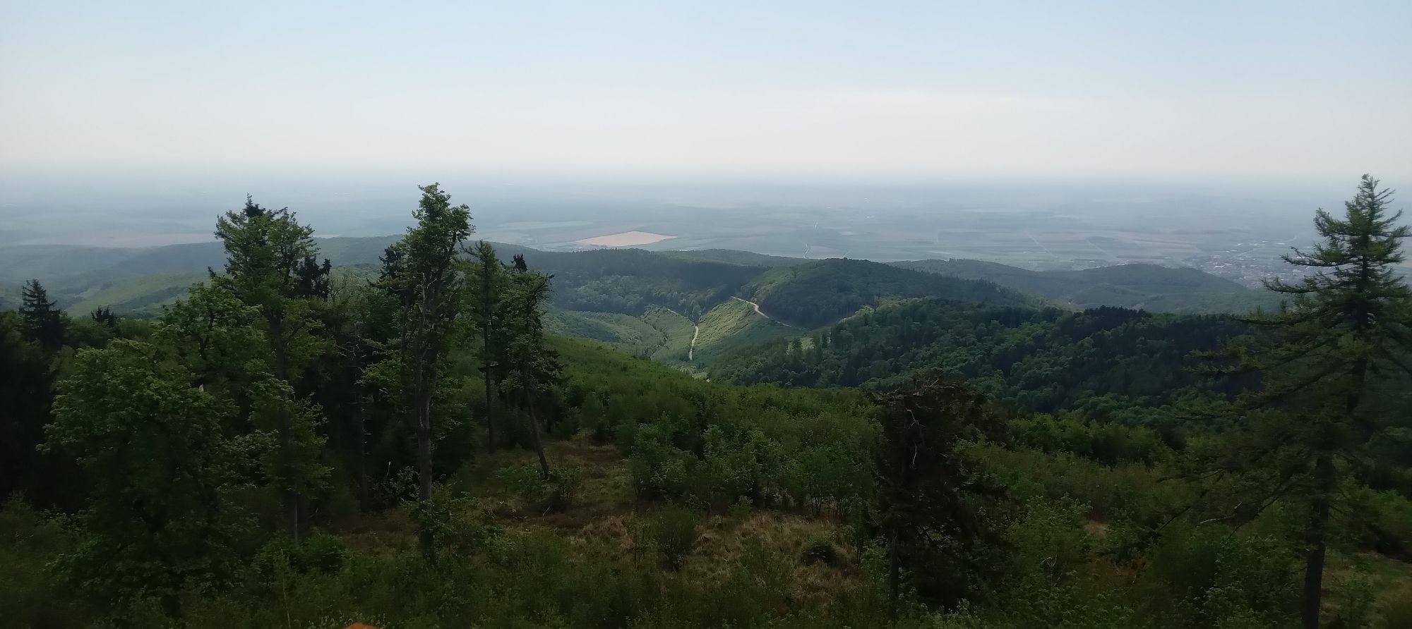
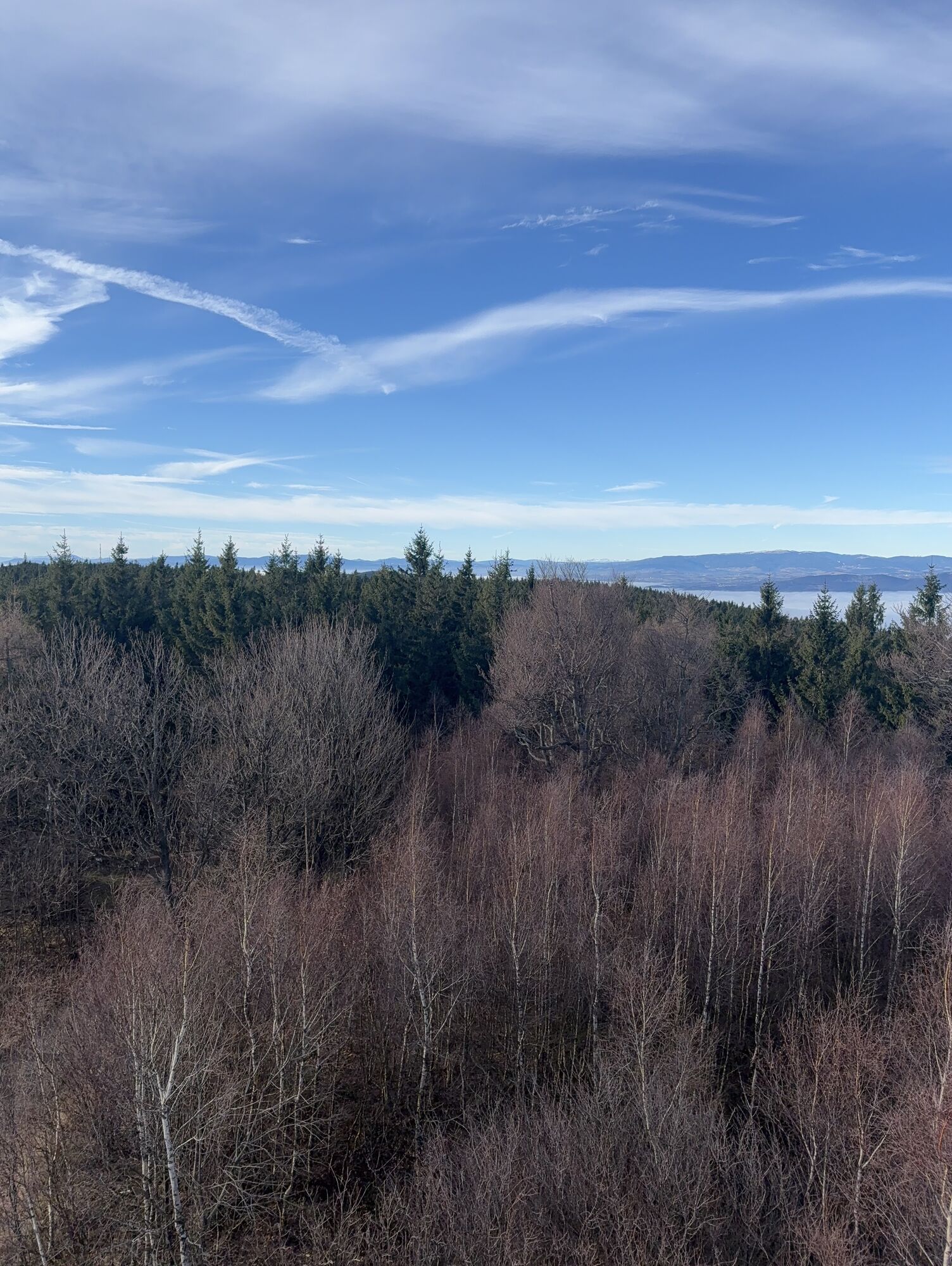
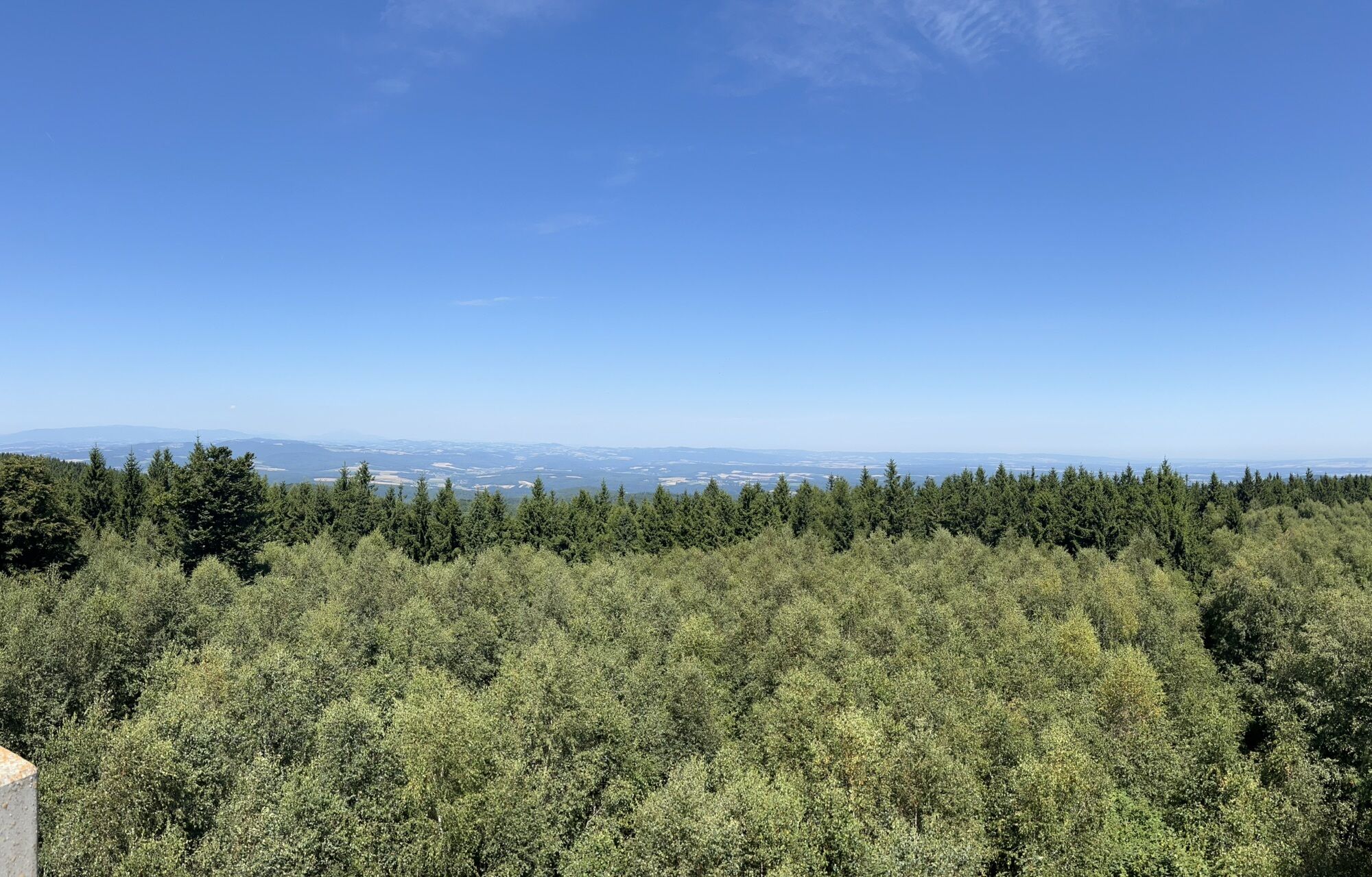
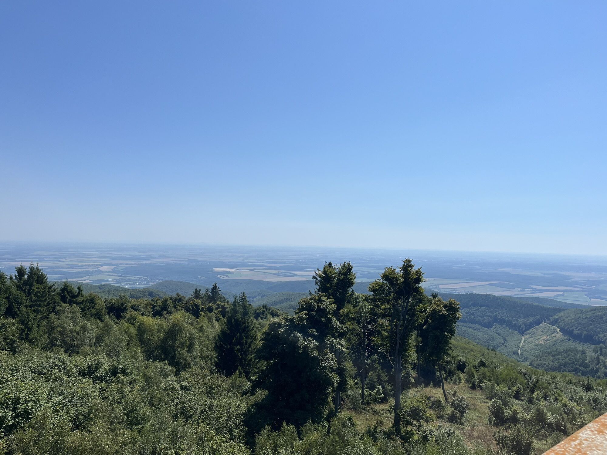
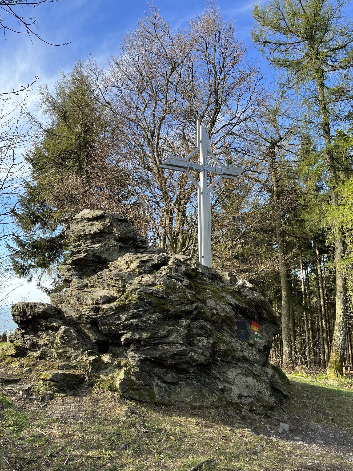
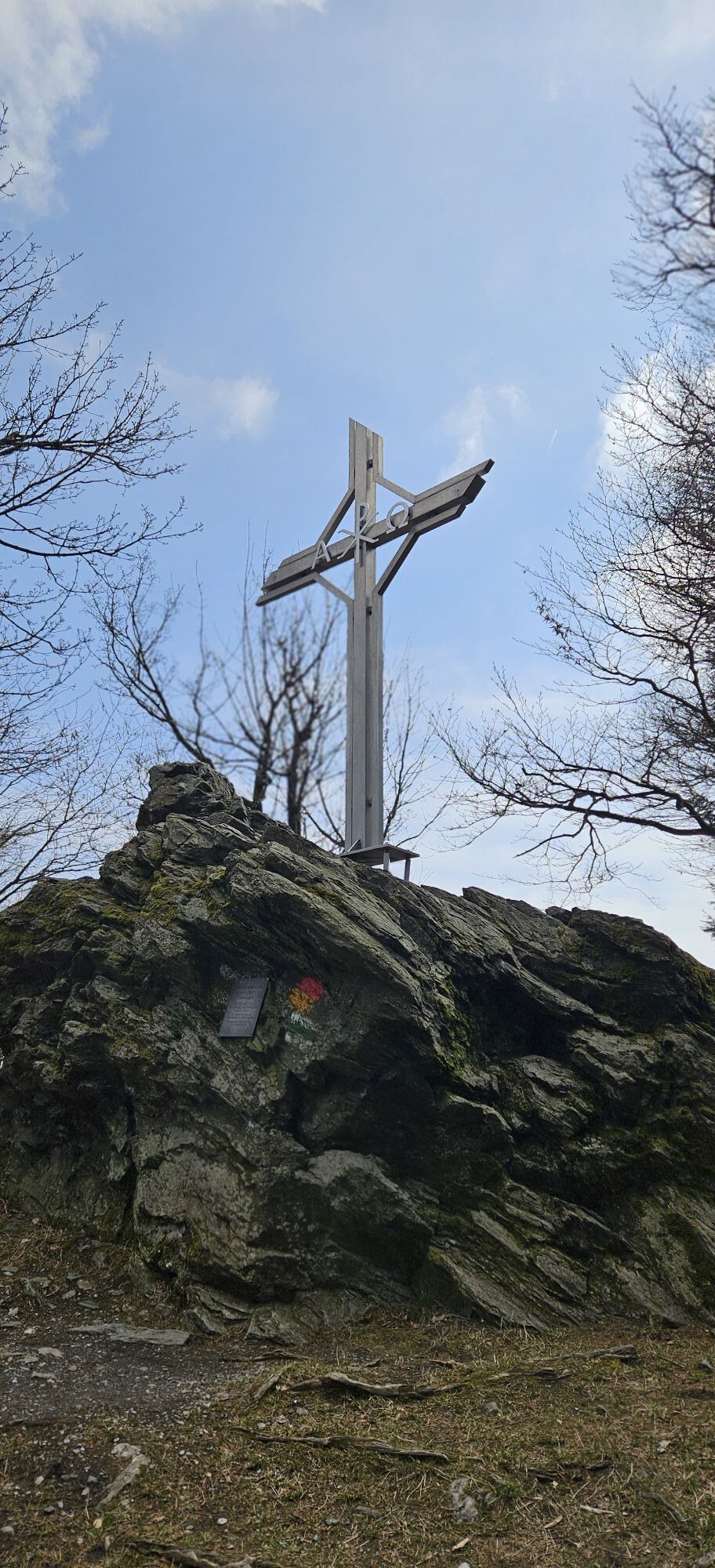
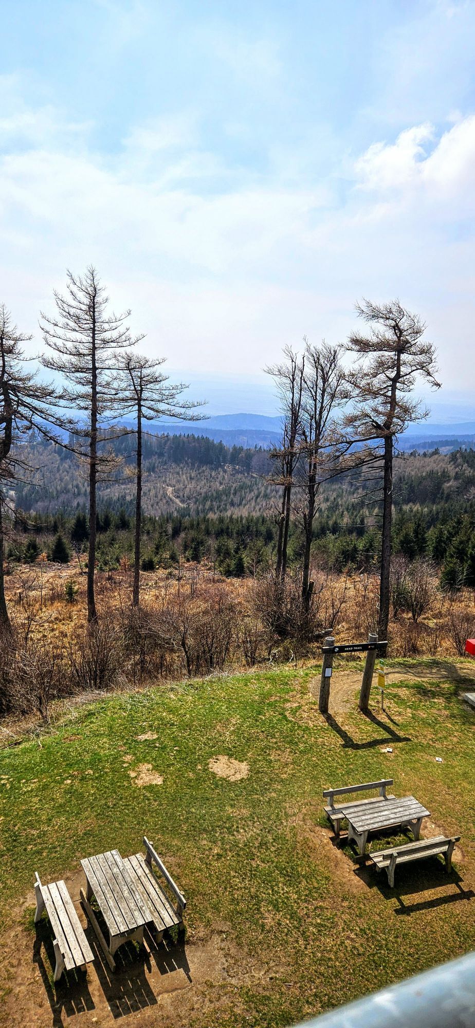
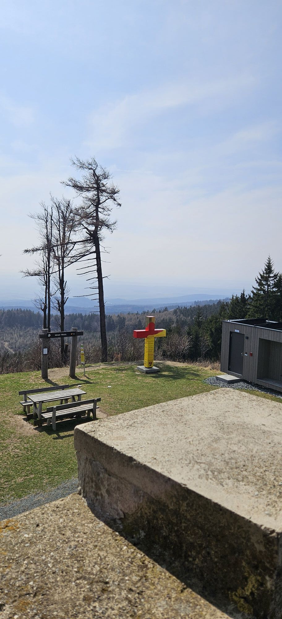
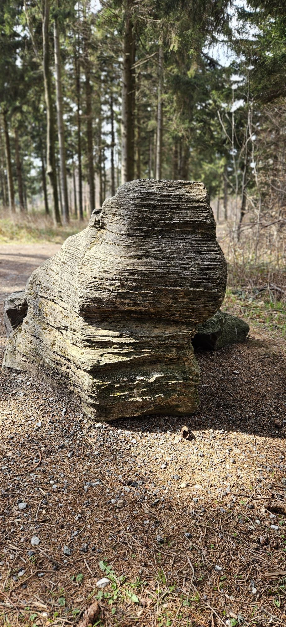
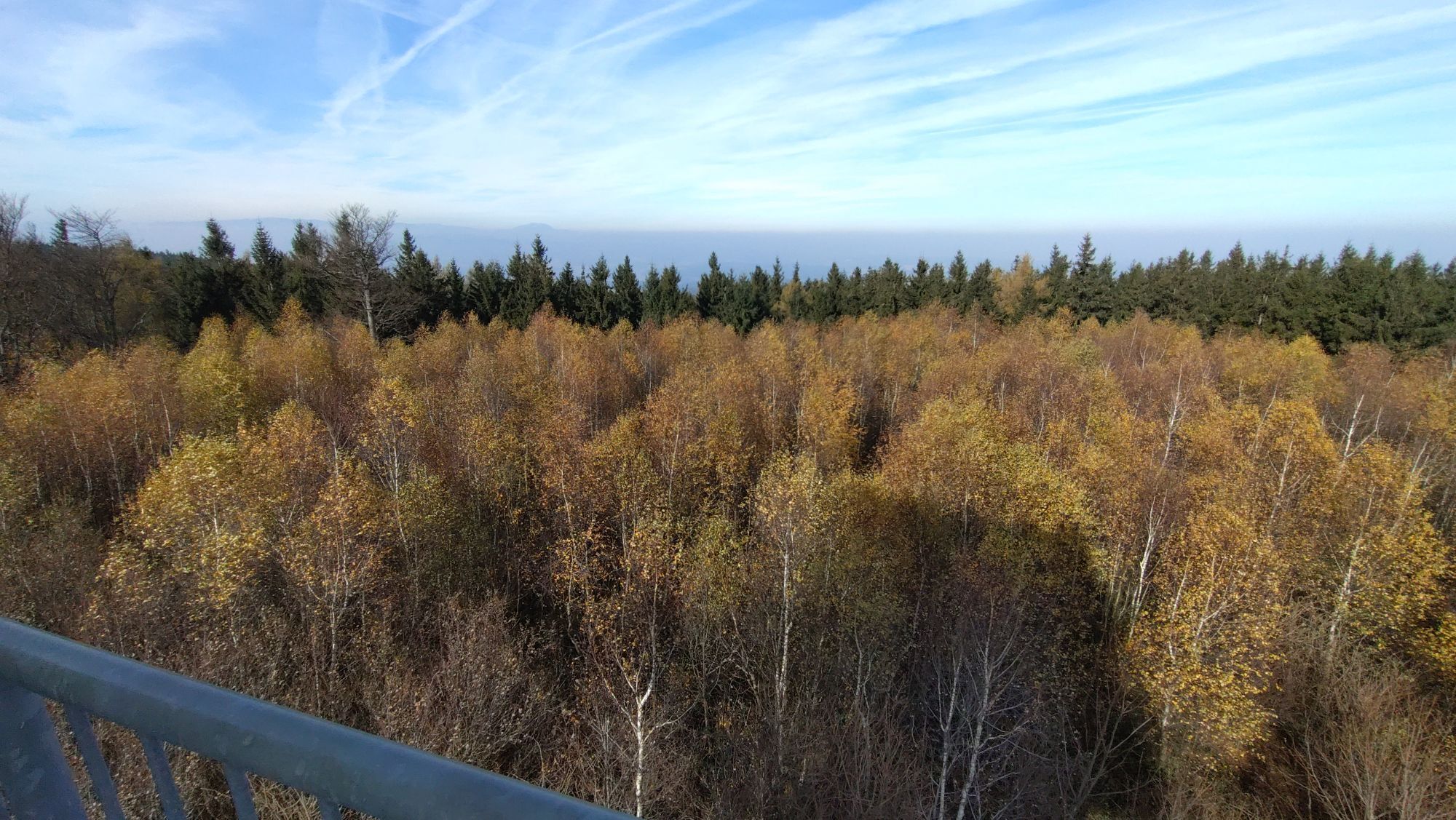
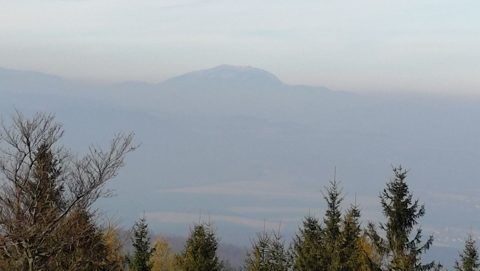
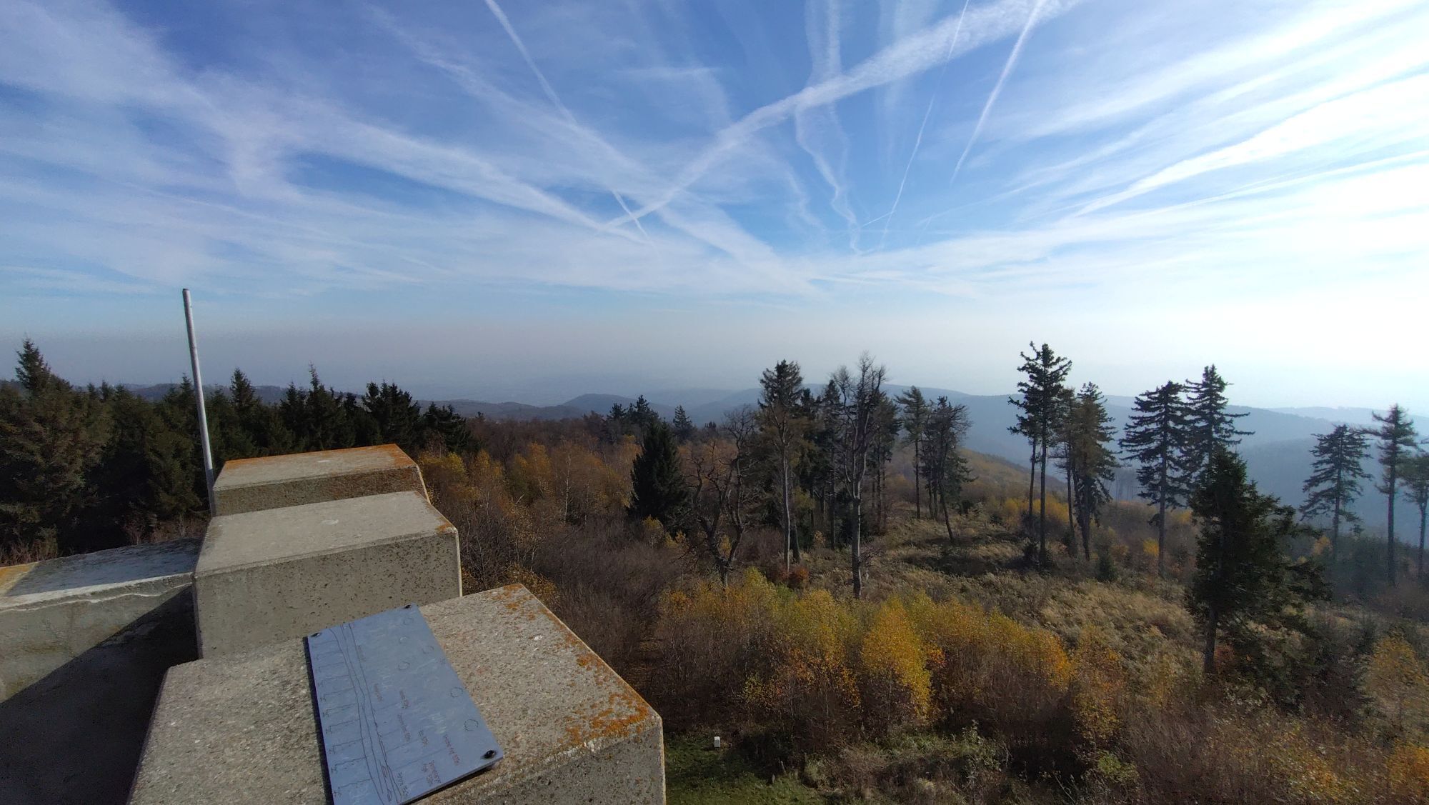
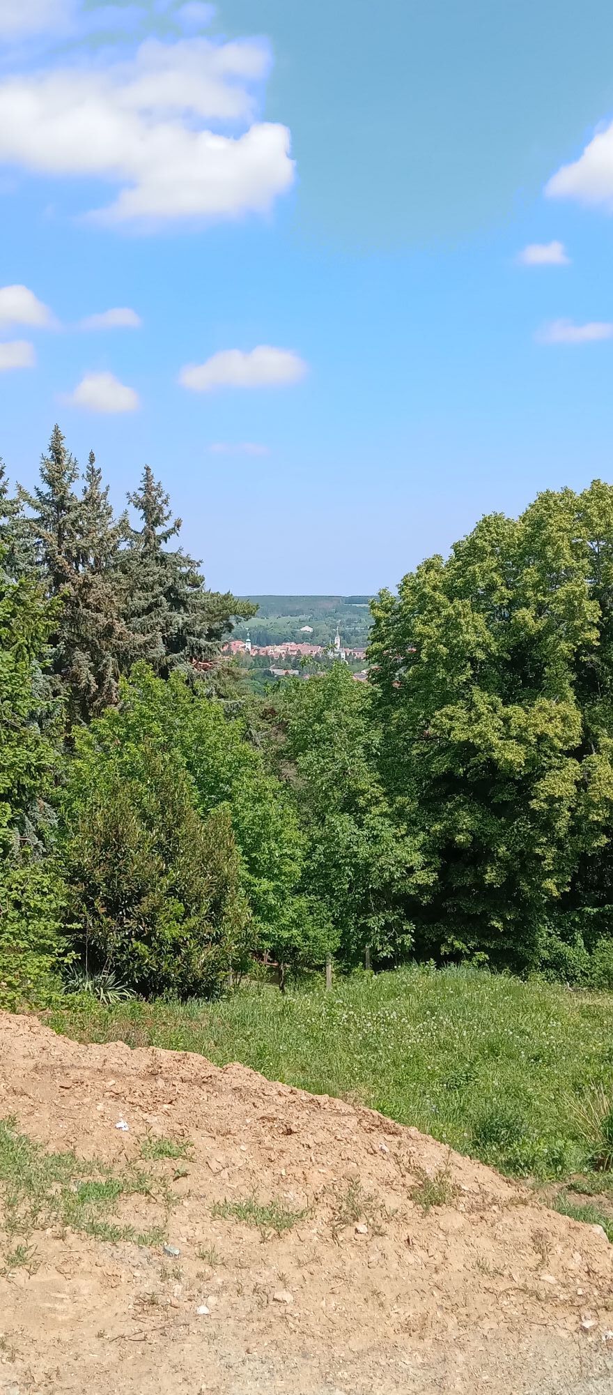
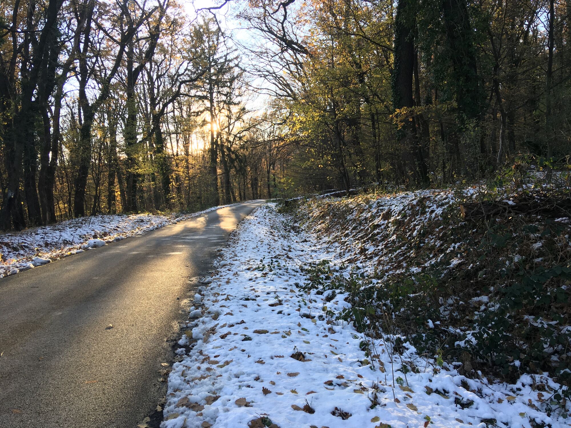
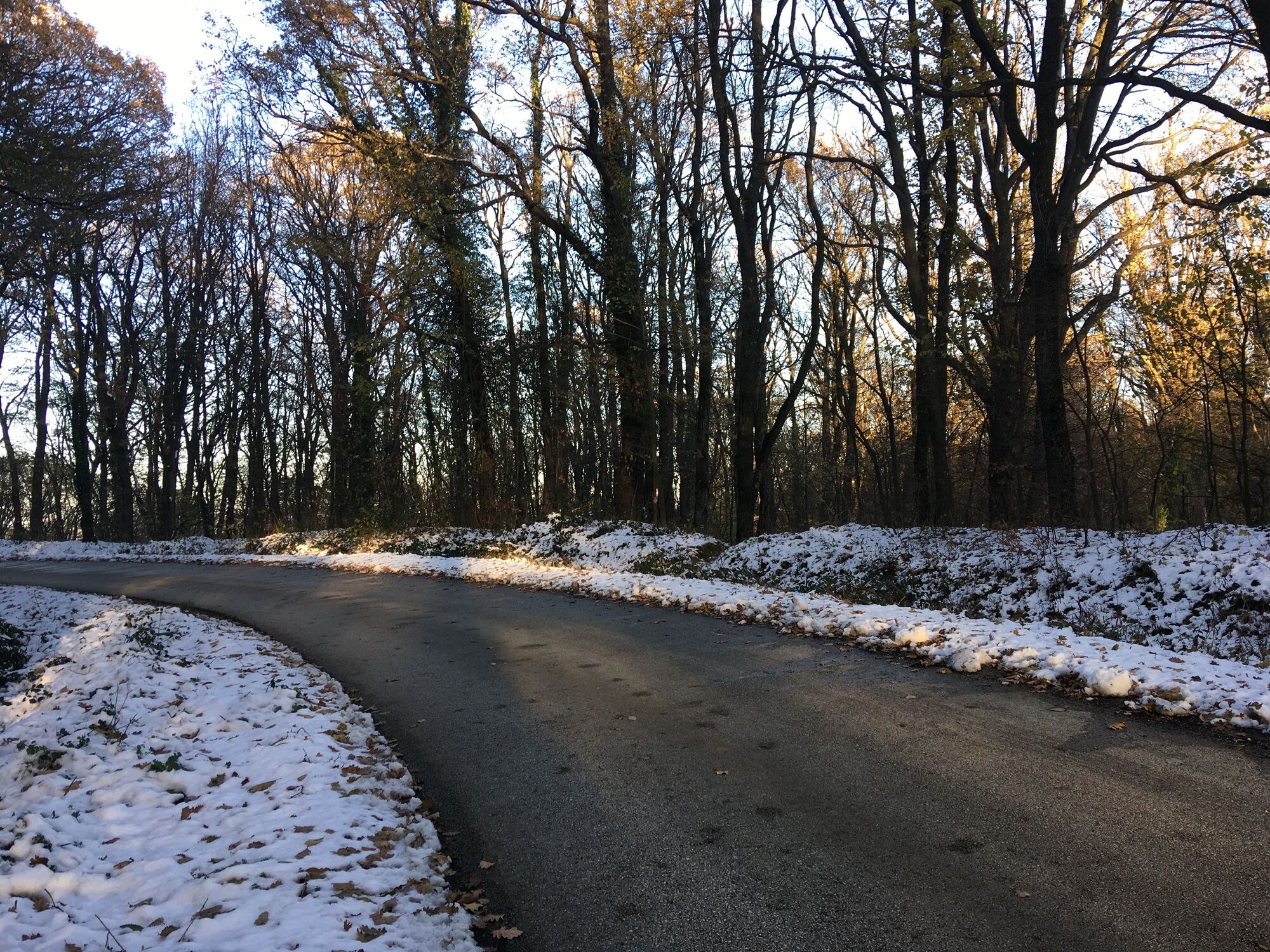

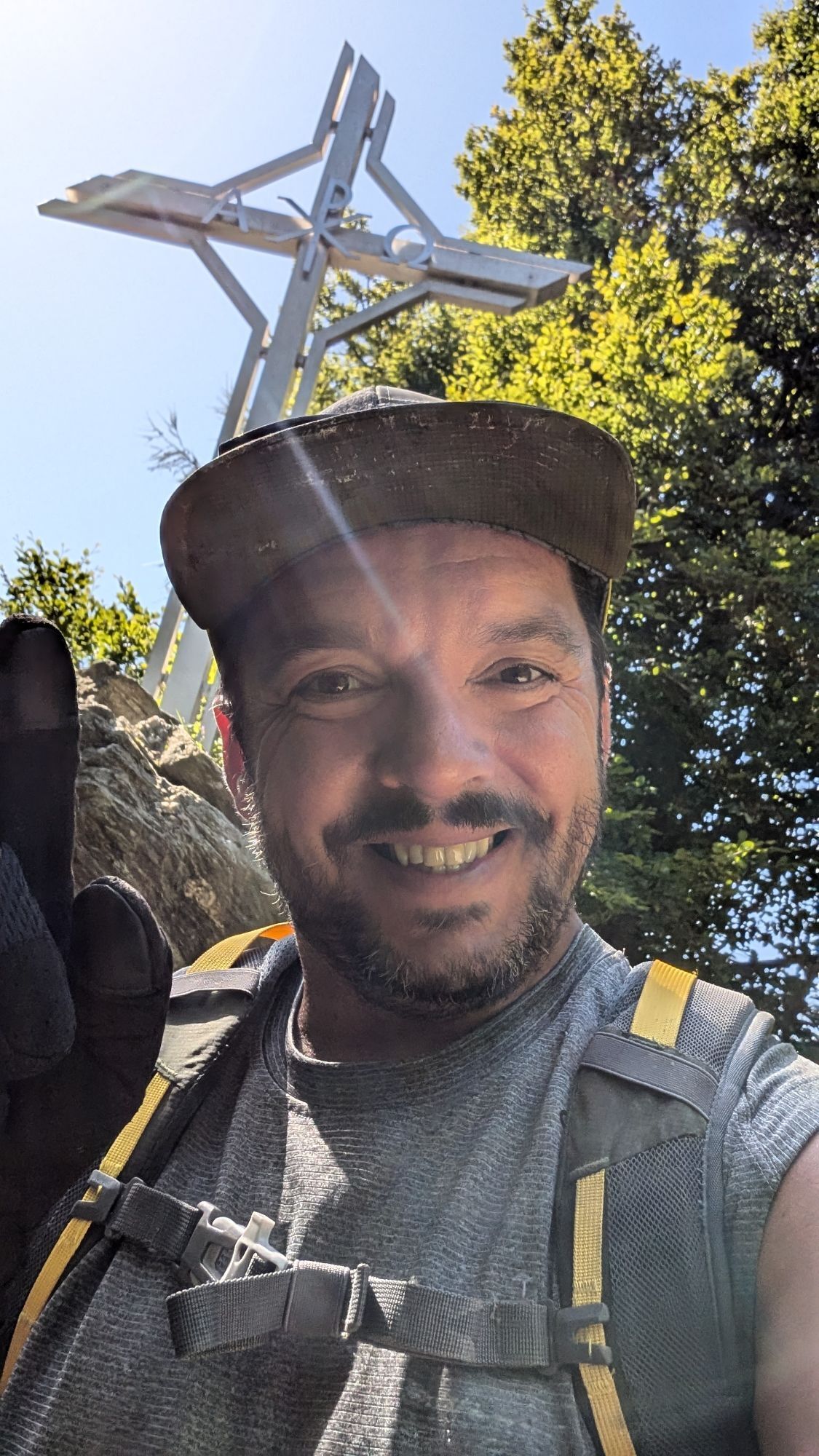
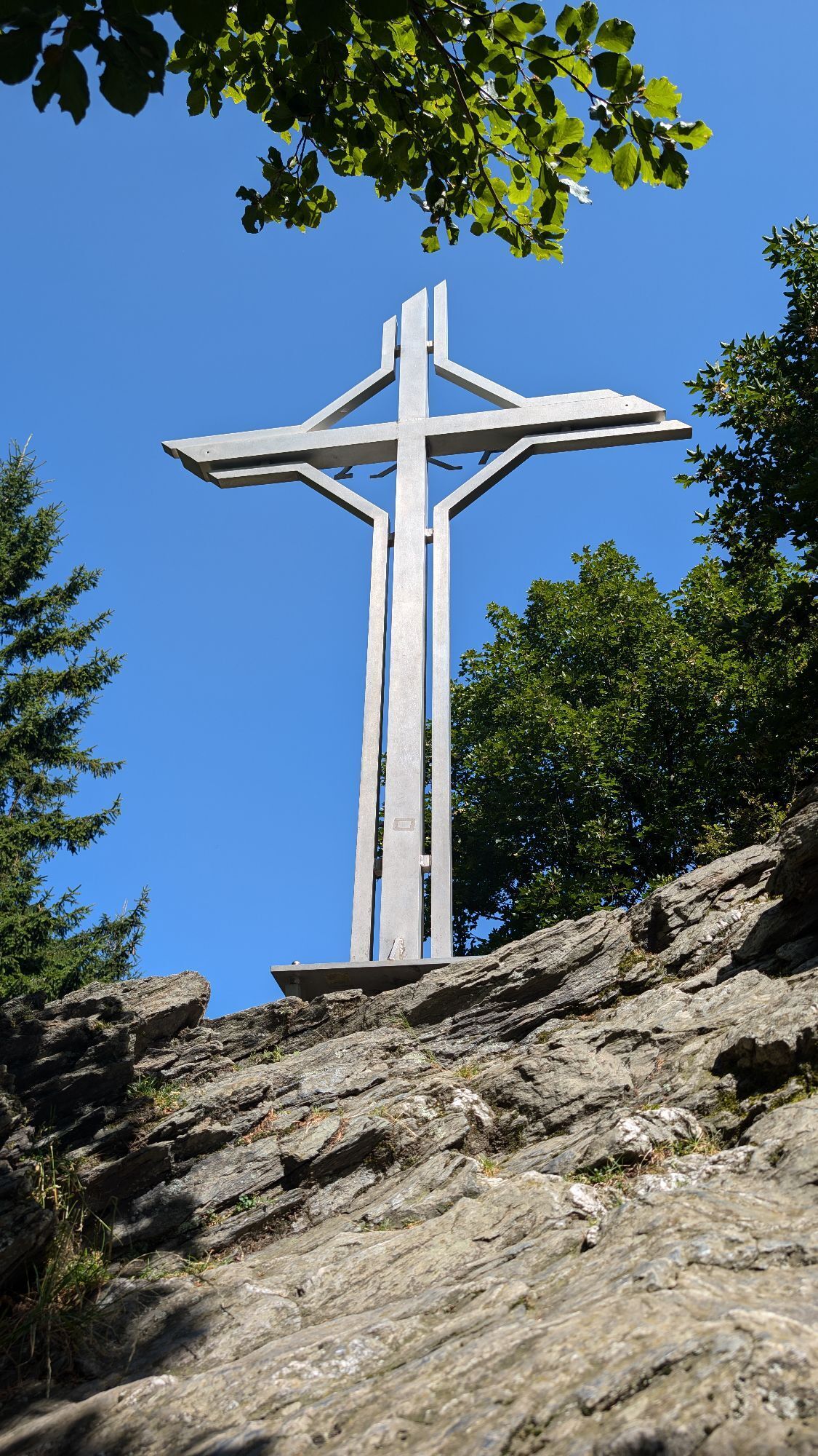
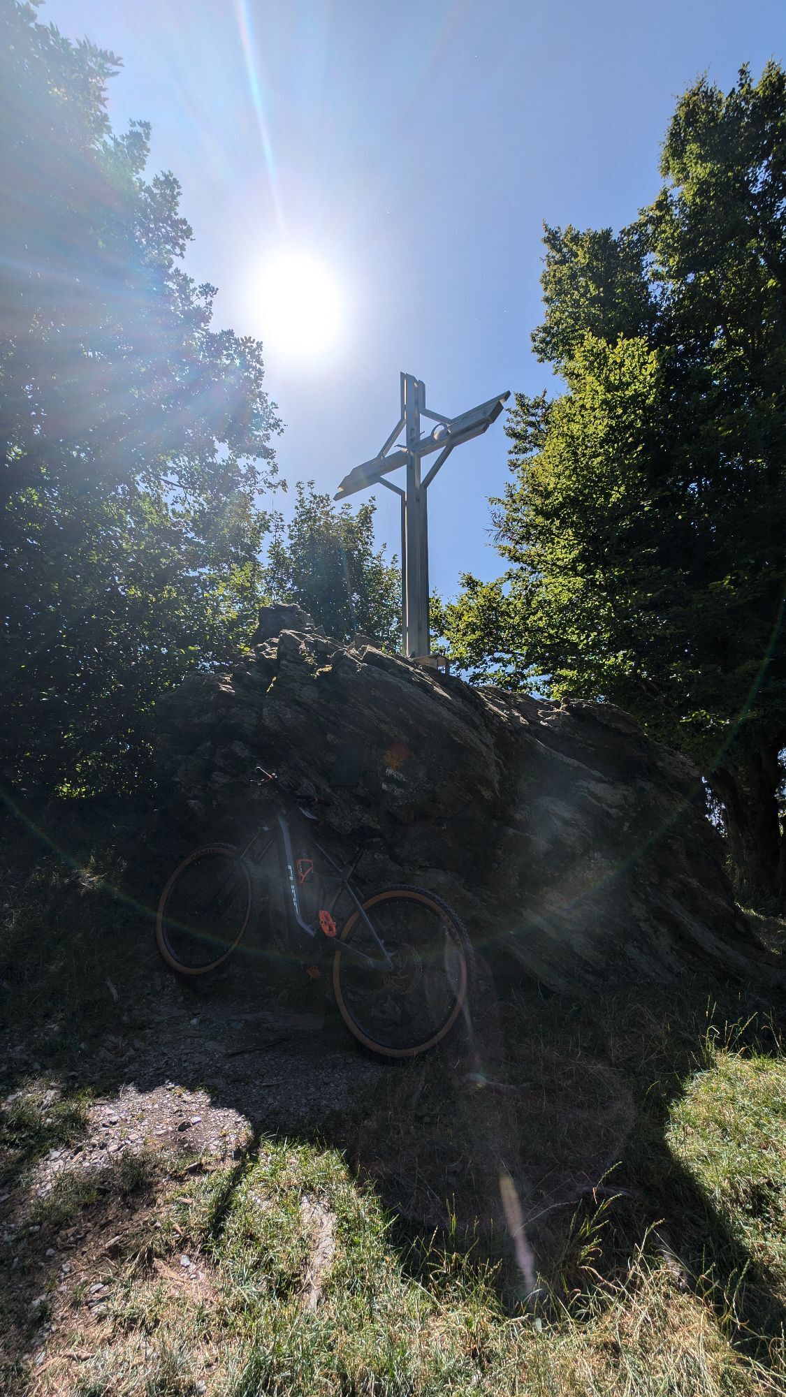
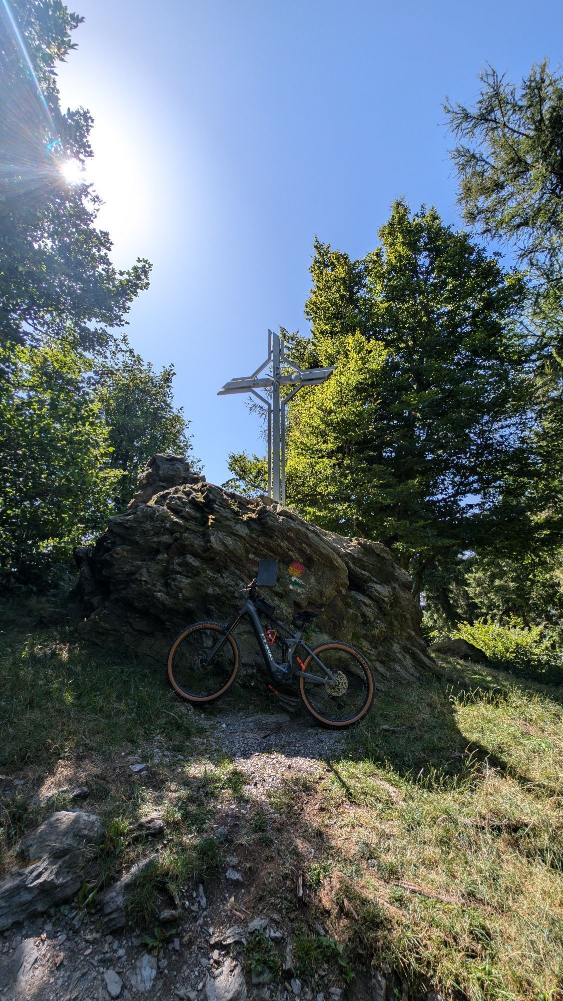
From the pass height at the federal road, the stone educational trail guides you to the summit of the Geschriebenstein (884 m) with its observation tower. It simultaneously forms the border between Austria...
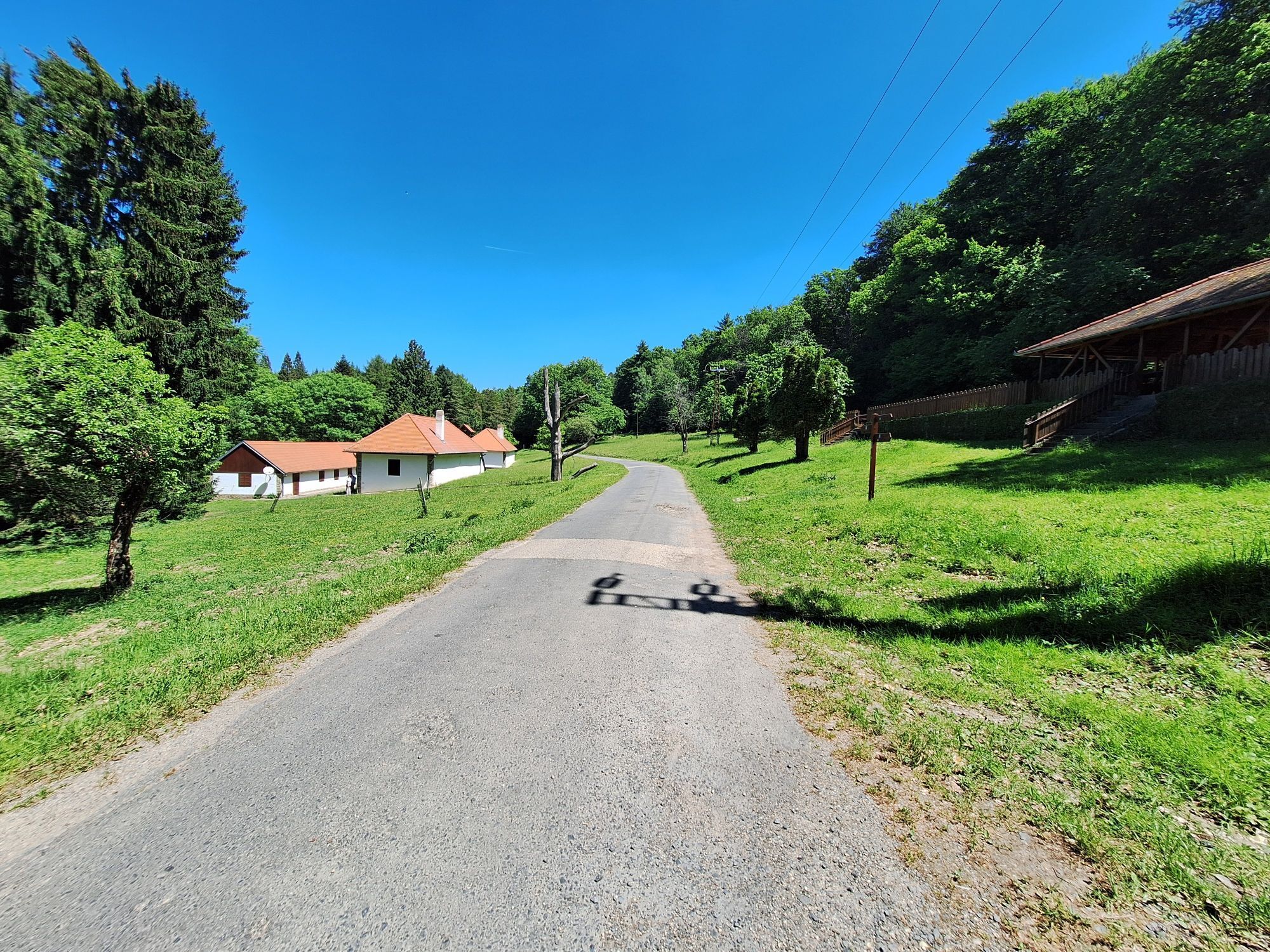
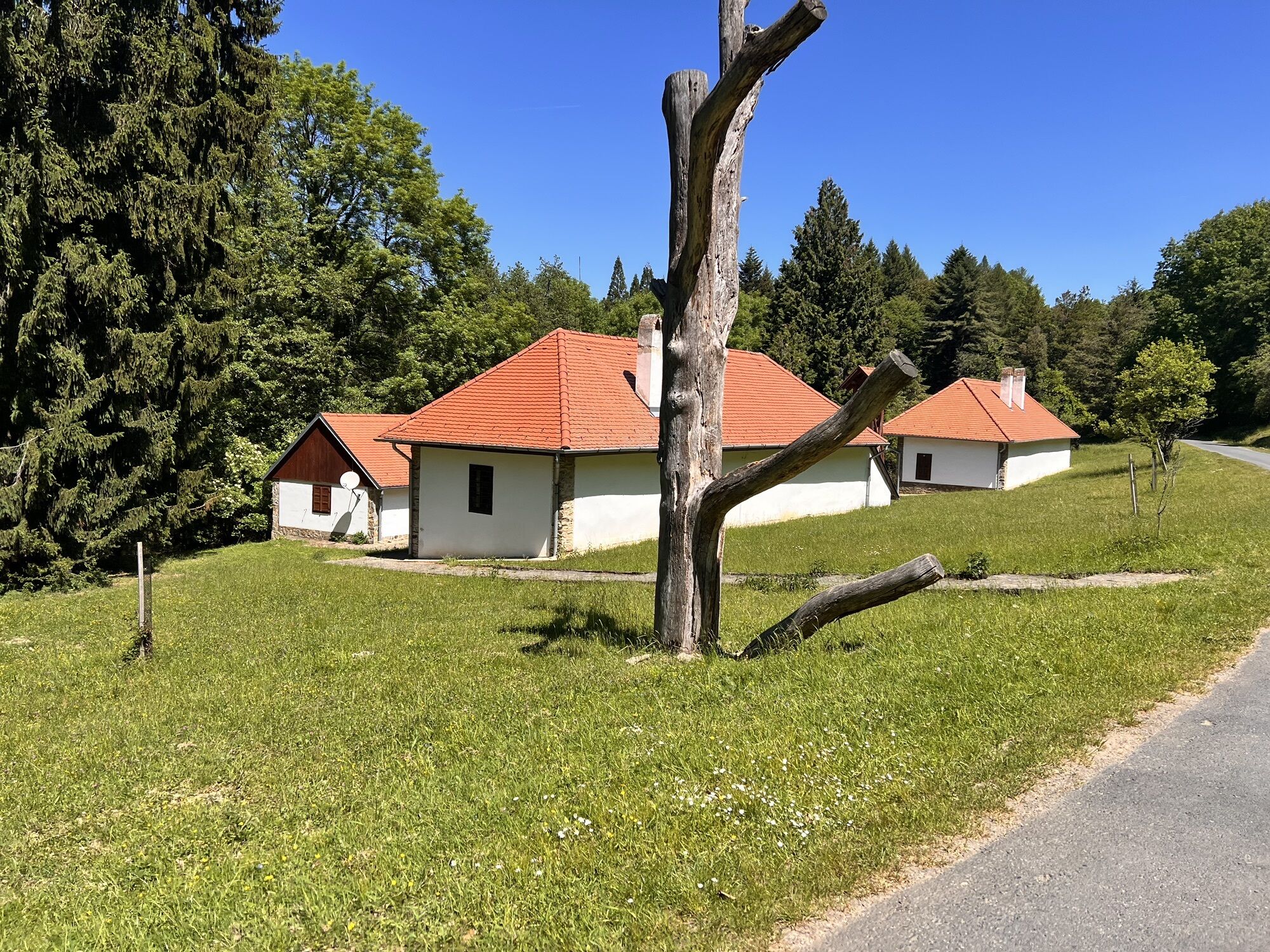
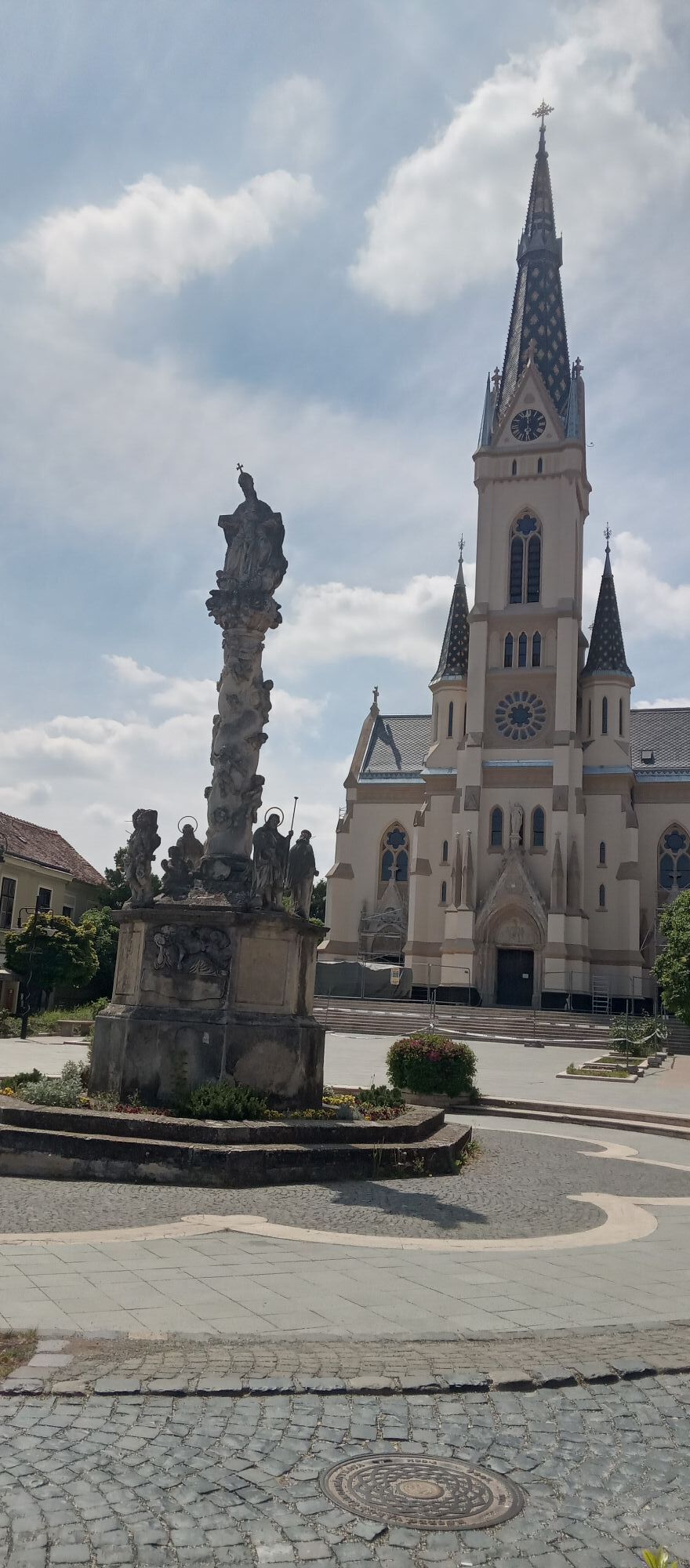
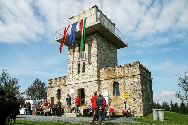
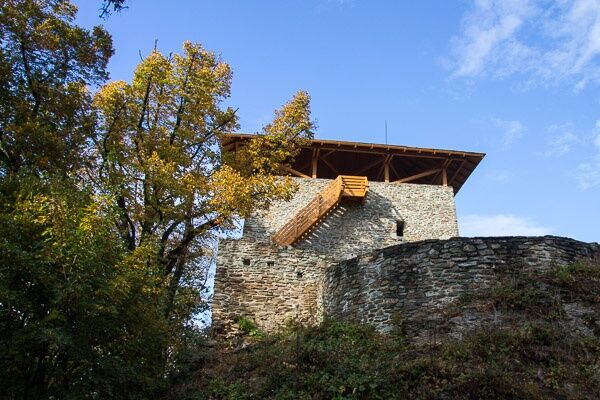
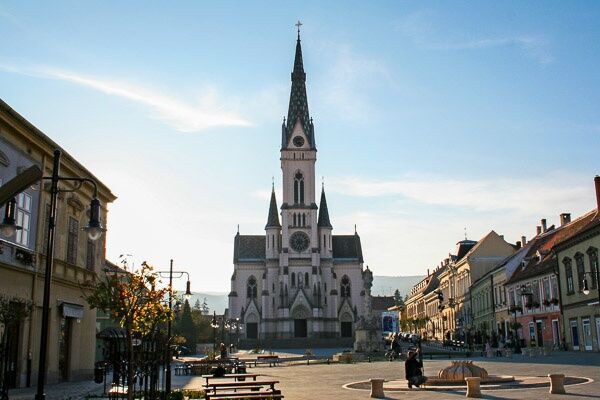
<p>From the pass height at the federal road, the stone educational trail guides you to the summit of the Geschriebenstein (884 m) with its observation tower. It simultaneously forms the border between Austria and Hungary. With a valid passport or ID card, you can cross the border here without hindrance. From Geschriebenstein (Irottkő), one hikes downhill to the Hörmann-forrás (Hörmann spring) and subsequently to the Steirerhouses. From here, continue along forest paths and after a final short ascent, reach the Óház-tető ruins with its observation tower. It is then not far to the beautiful town of Kőszeg, where the alpannonia® main route leads past the nature conservation center to the town center. Here you reach the eastern end/start of the alpannonia® trail.</p>


<p>Always take suitable maps with you. Wear sturdy shoes adapted to the route, bring sun and rain protection as well as water and a small snack. Take your mobile phone and save the mountain rescue emergency number: 140</p>
<p>Proper behavior when encountering grazing animals:</p><p><a href="www.alpannonia.at/verhaltenstipps-fue... </p><p>Make sure, when choosing your route, that it matches your mountain experience and fitness level. Check the weather forecast in advance. Weather in the mountains can change surprisingly fast. Therefore, always set out properly equipped (e.g., rain protection). </p><p>Check if the huts and snack stations you intend to visit are open. Inform someone about your route choice and planned return before you set off.</p><p>Cross-border hiking trail: Remember to carry a passport or ID card!</p>
<p>Via S31 (Burgenland expressway) Oberpullendorf - B50 Lockenhaus - Geschriebenstein/Pass</p><p>Via Oberwart to Rechnitz - Geschriebenstein/Pass</p>
<p>No train connection, by bus to Oberwart - Rechnitz - Geschriebenstein/Pass</p>
<p>Large parking lot at Geschriebenstein/Pass</p>
Add an extra day in the beautiful town of KÅszeg after the hike – it's worth it.

Rutas populares en los alrededores
-
4,3
Ruta de senderismo a la cumbre
pesadoSenderismo 20,6 km -
5,0
Südburgenländischer Bahntrassen-Radweg
luzCiclismo 67 km -
4,1
Geschriebenstein
luzSenderismo 3,90 km -
3,0
Günser Gebirge: Geschriebenstein
luzSenderismo 7,61 km -
5,0
Geschriebenstein Roas
pesadoSenderismo 55,3 km -
4,5
Ruta Glasgraben
medioSenderismo 12,9 km -
3,2
Günser Gebirge: Rechnitz - Geschriebenstein
luzSenderismo 7,71 km -
4,0
See, Vogelparadies & Ödes Schloss Rechnitz
luzSenderismo 7,09 km -
5,0
Recorrido por el viñedo
luzSenderismo 7,78 km -
3,0
Ruta ciclista R1 Jubilee
pesadoCiclismo de larga distancia 272,3 km
Senderismo y rastreo


No se pierda las ofertas y la inspiración para sus próximas vacaciones
Su dirección de correo electrónico se ha añadido a la lista de correo.





