
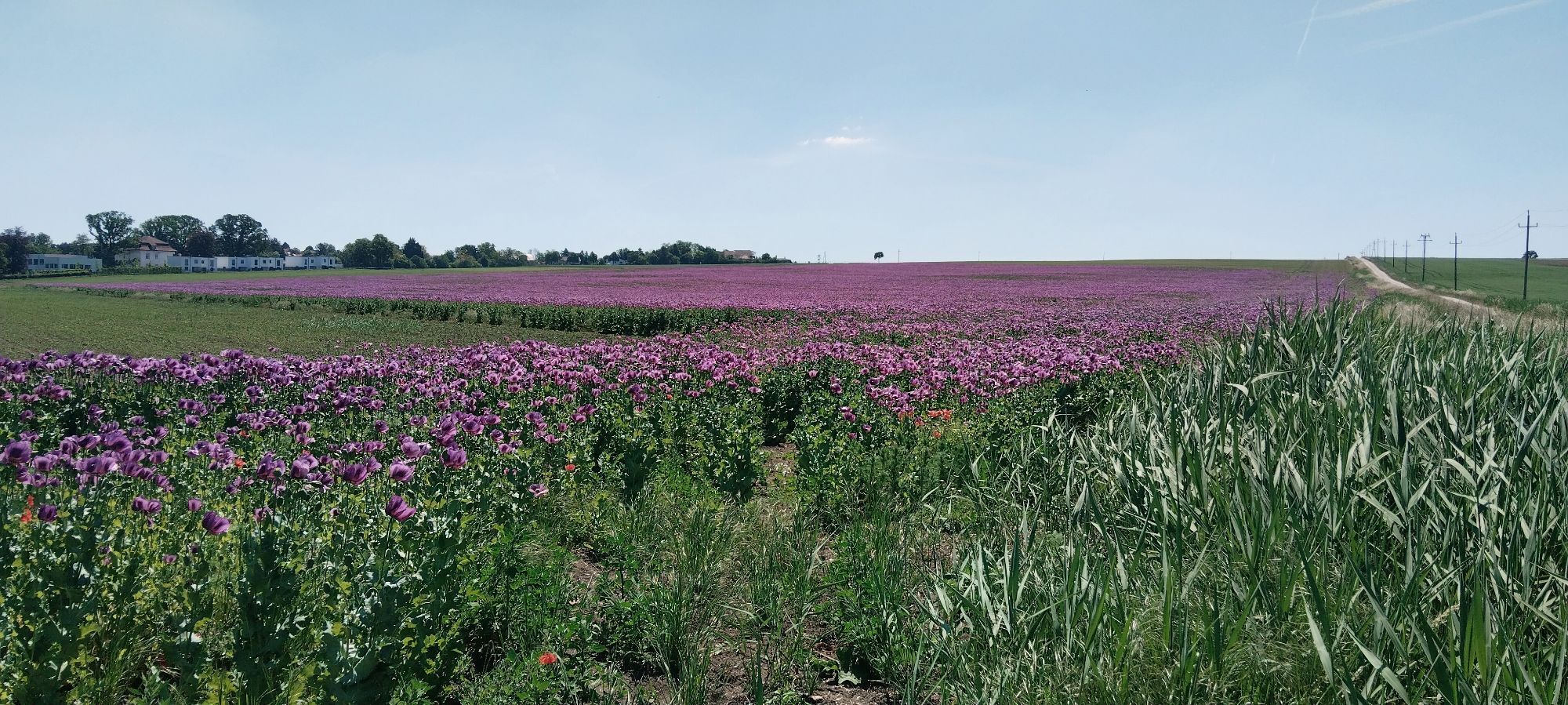
Oktaeder Radrunde
medio
Consigue este tour en tu móvil
Oktaeder Radrunde
medio
Ciclismo
41,86
km
Escanee el código QR e inicie la navegación en la aplicación bergfex

Senderismo y rastreo


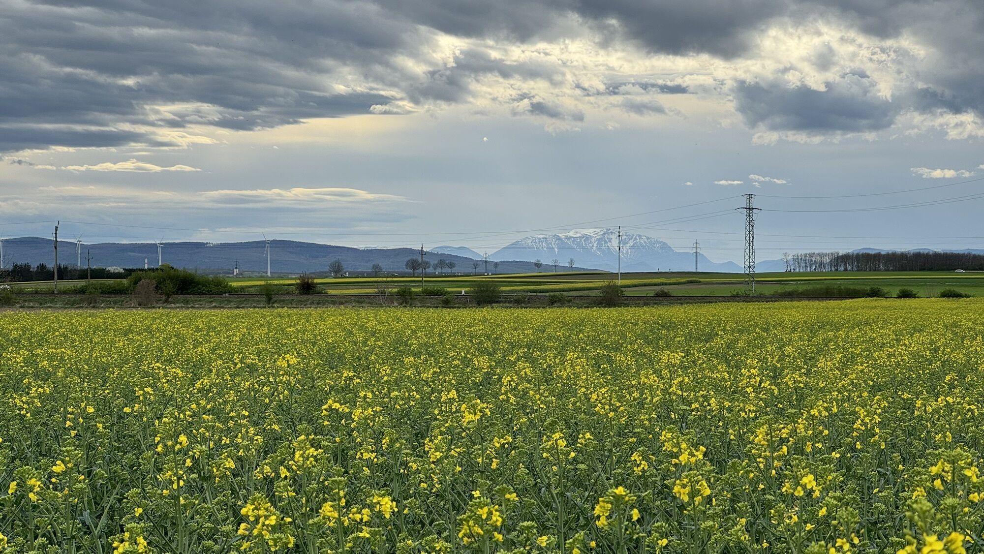
Oktaeder Radrunde
medio
Distancia
41,86
km
Duración
03:11
h
Ascenso
230
m
Nivel del mar
170 -
322
m
Descarga de pistas
Oktaeder Radrunde
medio
Ciclismo
41,86
km
Ruta
Andreaskirche
(188 m)
Lugar de culto
3,3 km
Antau/Otava
(188 m)
Pueblo
3,3 km
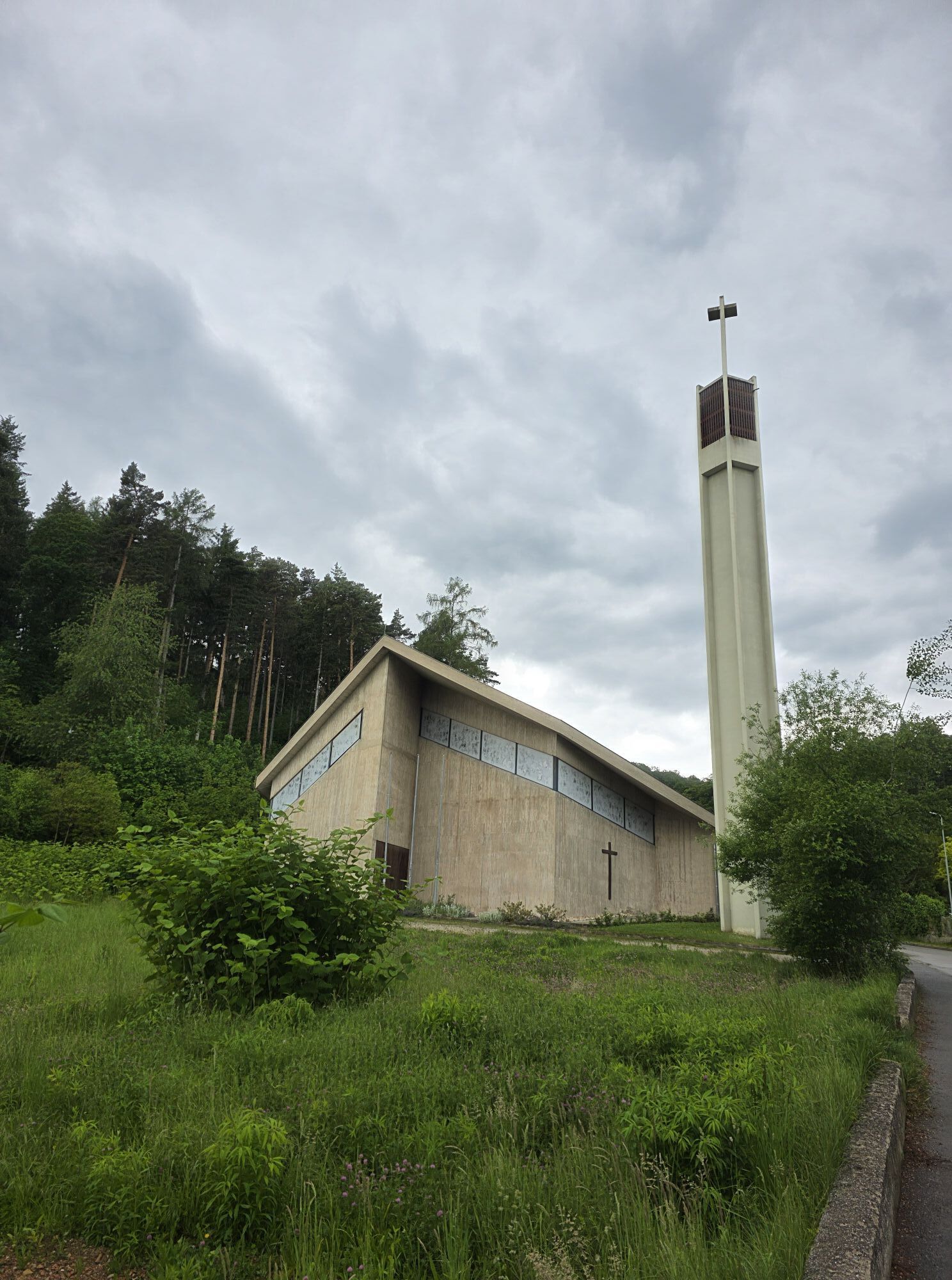
Evang. Glockenturm - "Der schiefe Turm von Walbersdorf"
(222 m)
Lugar de culto
9,5 km
Angerkapelle
(278 m)
Lugar de culto
15,8 km
Heuriger zu Brothof
(278 m)
Restaurante
20,6 km
Fleischhackerkreuz
(258 m)
Lugar de culto
24,9 km
Pfarrkirche Sigleß
(226 m)
Lugar de culto
31,6 km
Ruta
Oktaeder Radrunde
medio
Ciclismo
41,86
km
Wulkaprodersdorf
(174 m)
Estación de ferrocarril
0,0 km
Hubertuskapelle
(185 m)
Lugar de culto
2,2 km
Gasthaus Schlögl
(187 m)
Restaurante
3,2 km
Andreaskirche
(188 m)
Lugar de culto
3,3 km
Antau/Otava
(188 m)
Pueblo
3,3 km
Stöttera
(193 m)
Pueblo
4,6 km
Zemendorf
(198 m)
Pueblo
5,6 km
Schenke zur Alten Presse
(208 m)
Restaurante
7,1 km
Pöttelsdorf
(210 m)
Pueblo
7,4 km
Walbersdorf
(222 m)
Pueblo
9,5 km
Evang. Glockenturm - "Der schiefe Turm von Walbersdorf"
(222 m)
Lugar de culto
9,5 km
Pfarrkirche hl. Leonhard
(222 m)
Lugar de culto
9,5 km
Pizzeria Taverna
(235 m)
Restaurante
11,0 km
Mattersburg
(238 m)
Ciudad
11,6 km
Angerkapelle
(278 m)
Lugar de culto
15,8 km
Beerenhof-Wiesen
(275 m)
Restaurante
16,1 km
Bad Sauerbrunn
(283 m)
Estación de ferrocarril
20,5 km
Heuriger zu Brothof
(278 m)
Restaurante
20,6 km
Dorfwirt
(277 m)
Restaurante
20,6 km
Pizzeria Heidi
(275 m)
Restaurante
21,1 km
Fleischhackerkreuz
(258 m)
Lugar de culto
24,9 km
Pöttsching
(219 m)
Pueblo
26,3 km
Sigleß
(206 m)
Pueblo
31,3 km
Pfarrkirche Sigleß
(226 m)
Lugar de culto
31,6 km

Error
Se ha producido un error. Por favor, inténtelo de nuevo.
Información sobre la ruta
Parada de descanso y avituallamiento
entlang des Weges
Adecuado para familias
Sí
Viaje de ida
Sí
Información de llegada
Llegada
Transporte público
Información adicional y consejos
Neumáticos todoterreno
Sí
Valoraciones
1 Comentario
Harald Mezler
06. jun.. 2026
Super Tour mit kleinem Abenteuer.
Es gibt eine kleine Brücke aus zwei Holzbrettern, bei der Schnellstraßenunterführung die man zuerst erkennen und dann überqueren muss. Mit kurzer, aber recht steiler Böschung auf beiden Seiten.
Rutas populares en los alrededores
-
4,5
B32 Ruta ciclista de Rosalia
medioCiclismo 58,8 km -
4,7
Naturlehrpfad Katzelsdorf
luzSenderismo 3,81 km -
4,5
A la torre mirador Wiesen/Lanzenkirchen desde Rosalia
luzSenderismo 4,25 km -
4,6
Gespitzter Riegel - Bad Sauerbrunn
luzSenderismo 8,85 km -
4,2
Ruta MTB Bäckersteig
pesadoMountainbike 25,5 km -
4,6
Forchtenstein-Rosalienkapelle
luzSenderismo 7,86 km -
4,0
Rosalia: Lanzenkirchen - Aussichtsturm
luzSenderismo 11,1 km -
4,6
M32 Al Gespitzten Riegel desde Bad Sauerbrunn
medioSenderismo 8,73 km -
4,2
MTB Buma Bia - recorrido
Mountainbike 25,5 km -
4,5
B30 Ruta ciclista de Kogel
medioCiclismo 32,0 km
Senderismo y rastreo

Más de 550.000 sugerencias de excursiones, mapas detallados y un intuitivo planificador de rutas hacen de esta aplicación una herramienta imprescindible para todos los amantes de la naturaleza.

No se pierda las ofertas y la inspiración para sus próximas vacaciones
Suscribirse al boletín de noticias
Error
Se ha producido un error. Por favor, inténtelo de nuevo.
Gracias por inscribirse
Su dirección de correo electrónico se ha añadido a la lista de correo.
Viajes por Europa
Austria
Suiza
Alemania
Italia
Eslovenia
Francia
Países Bajos
Belgium
Polonia
Liechtenstein
República Checa
Slovakia
España
Croacia
Bosnia y Herzegovina
Luxemburgo
Andorra
Portugal
Iceland
United Kingdom
Ireland
Greece
Albania
North Macedonia
Malta
Norway
Montenegro
Moldova
Kosovo
Hungary
San Marino
Romania
Estonia
Latvia
Belarus
Cyprus
Lithuania
Serbia
Bulgaria
Monaco
Denmark
Sweden
Finland