






Von Muggenbrunn nach Todtnauberg
Nivel de dificultad: 2

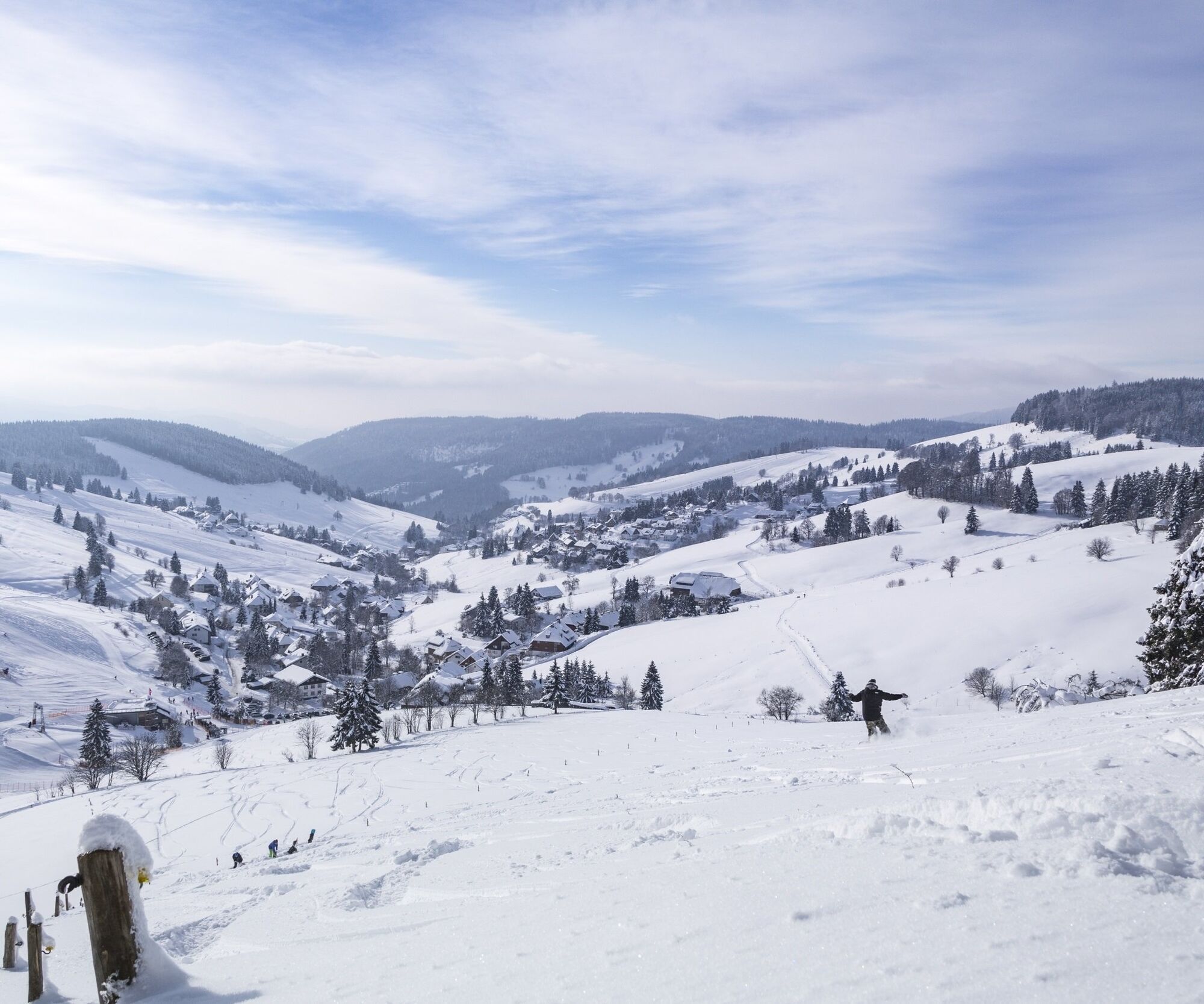
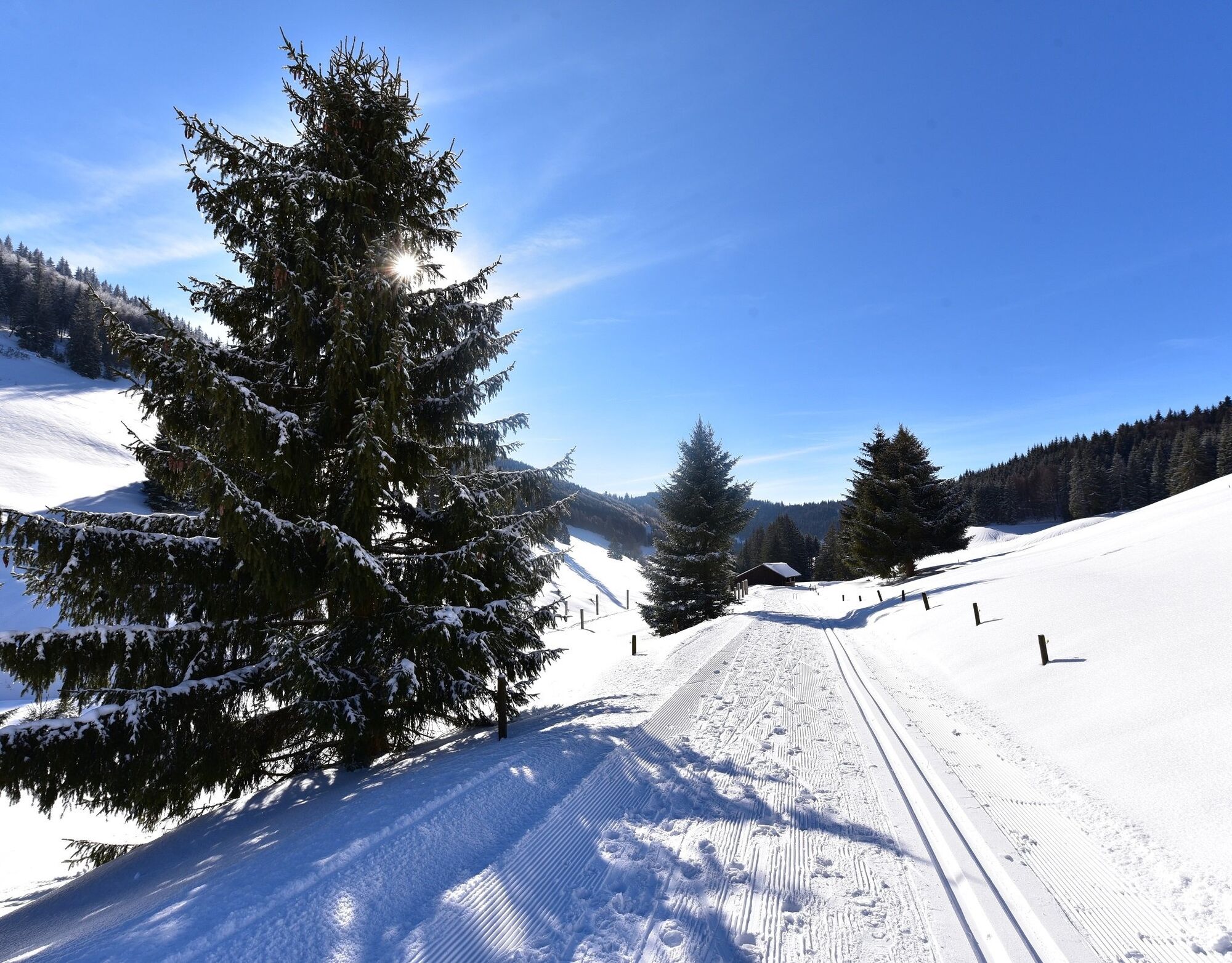
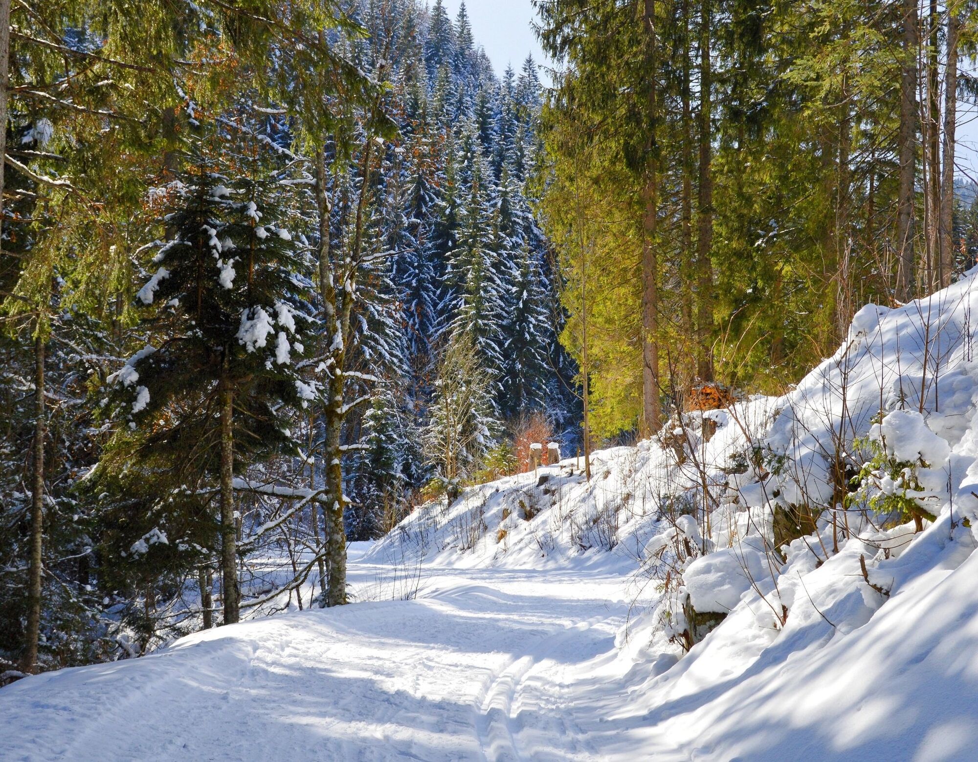

You start your winter hike in Muggenbrunn am Wasen. Firstly, follow trail marker no. 11 to the Klusenbrücke bridge. Once there, turn left and follow the path over the bridge for approx. 300 metres. At the bend, keep left in the direction of Radschert. At Radschert, turn right past the old wooden sheds and walk along Hornweg. At the edge of the path is a very special resting place under a hipped roof with a view of the Belchen. Shortly before the Hotel Sonnenalm, turn left onto Hornmattweg. Follow this to the end and then take the Hintermattweg to the centre of Todtnauberg.
From there, you can take the 7215 bus back to your starting point, Muggenbrunn Säge. Alternatively, you can also start this winter hike in Todtnauberg.
Sí
Winter equipment is recommended.
2
Premium winter walks are specially maintained and signposted winter walks. The routes have been chosen to be mostly scenic and as easy to walk as possible. Premium winter footpaths are checked and cleared on a daily basis and are usually circular.
On the Radschert, it is worth taking a short detour to the Jakobuskreuz (5 min.). On a clear day, the view of the Alps from here is magnificent.
Webcams del recorrido
Infórmate
Siempre en directo con más de 9.500 webcams. bergfex Como usuario Pro, ahora puede ver las webcams correspondientes a muchos tours en la app de tours desde. Esto le permite ver las condiciones actuales directamente.
Rutas populares en los alrededores
-
4,7
Heimatpfad Hochschwarzwald- Mühlen und Sägen in der Schlucht
medioSenderismo 7,42 km -
4,2
Belchensteig
medioSenderismo 14,8 km -
3,8
Genießerpfad - Säbelthomaweg
medioSendero temático 11,3 km -
4,3
Ravennaschlucht
Senderismo 6,90 km -
4,0
Höhenmeter auf dem Herzogenhorn
medioSenderismo 11,1 km -
4,8
Sonnenaufgang und Feldbergsteig
medioSenderismo 11,6 km -
3,7
Rundweg zum Todtnauer Wasserfall
luzSenderismo 6,06 km -
5,0
Genießerpfad - Menzenschwander Geißenpfad
medioSendero temático 9,78 km -
4,3
Mystischer Weg zum Mathisleweiher
medioSenderismo 8,94 km -
3,4
Auf ruhigen Wegen von Todtnauberg nach Todtnau
medioSenderismo 10,2 km
Senderismo y rastreo


No se pierda las ofertas y la inspiración para sus próximas vacaciones
Su dirección de correo electrónico se ha añadido a la lista de correo.





