


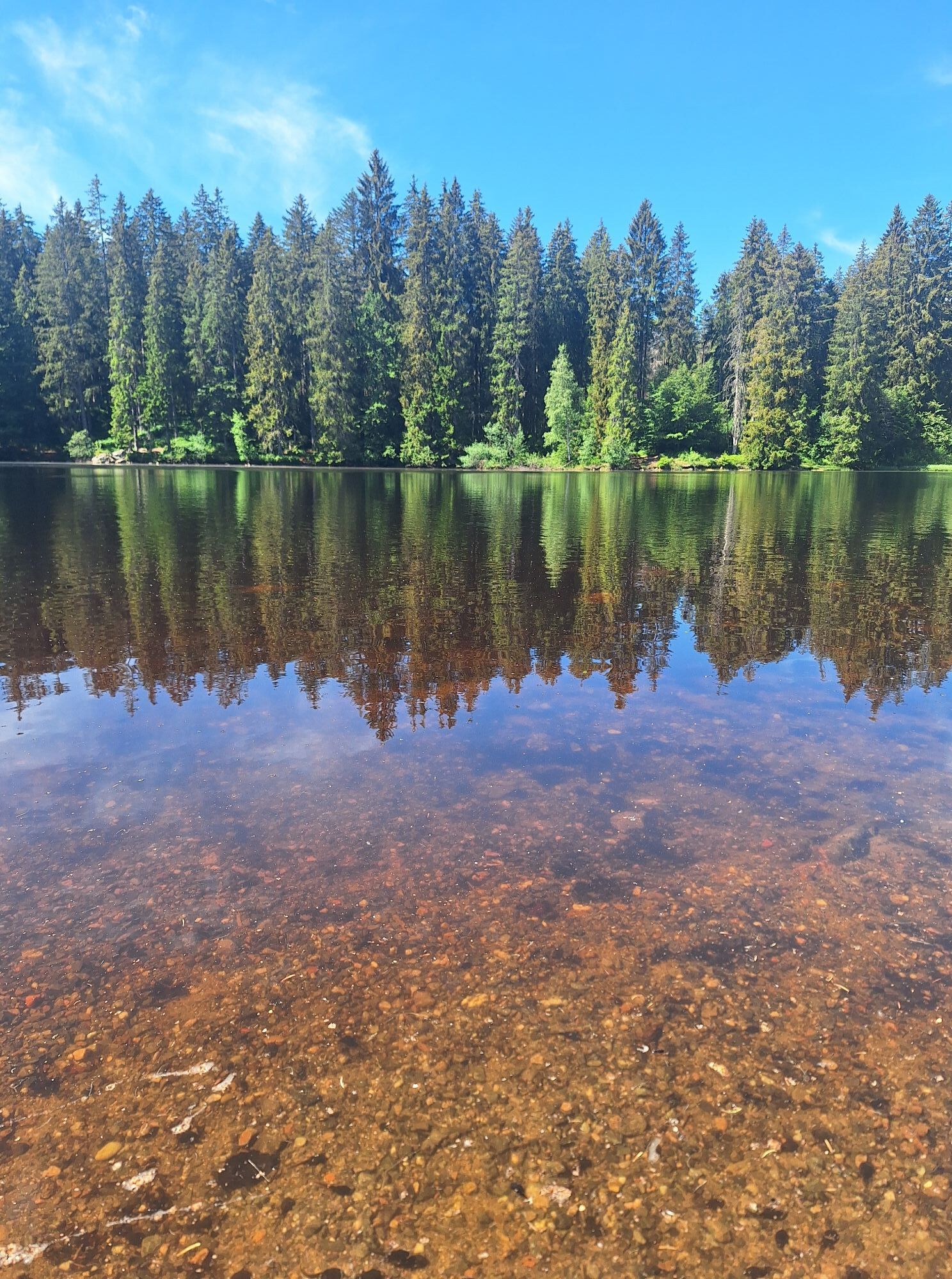
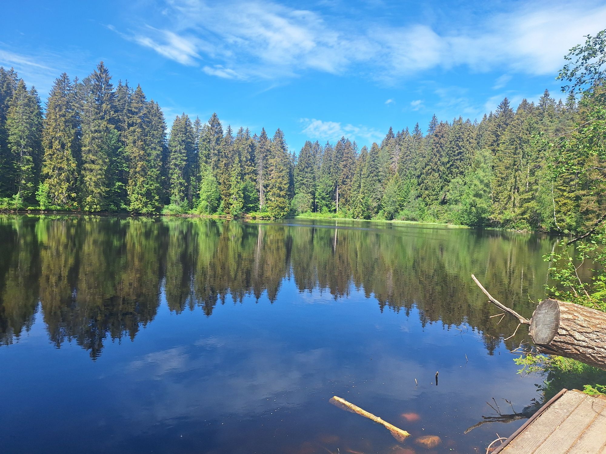
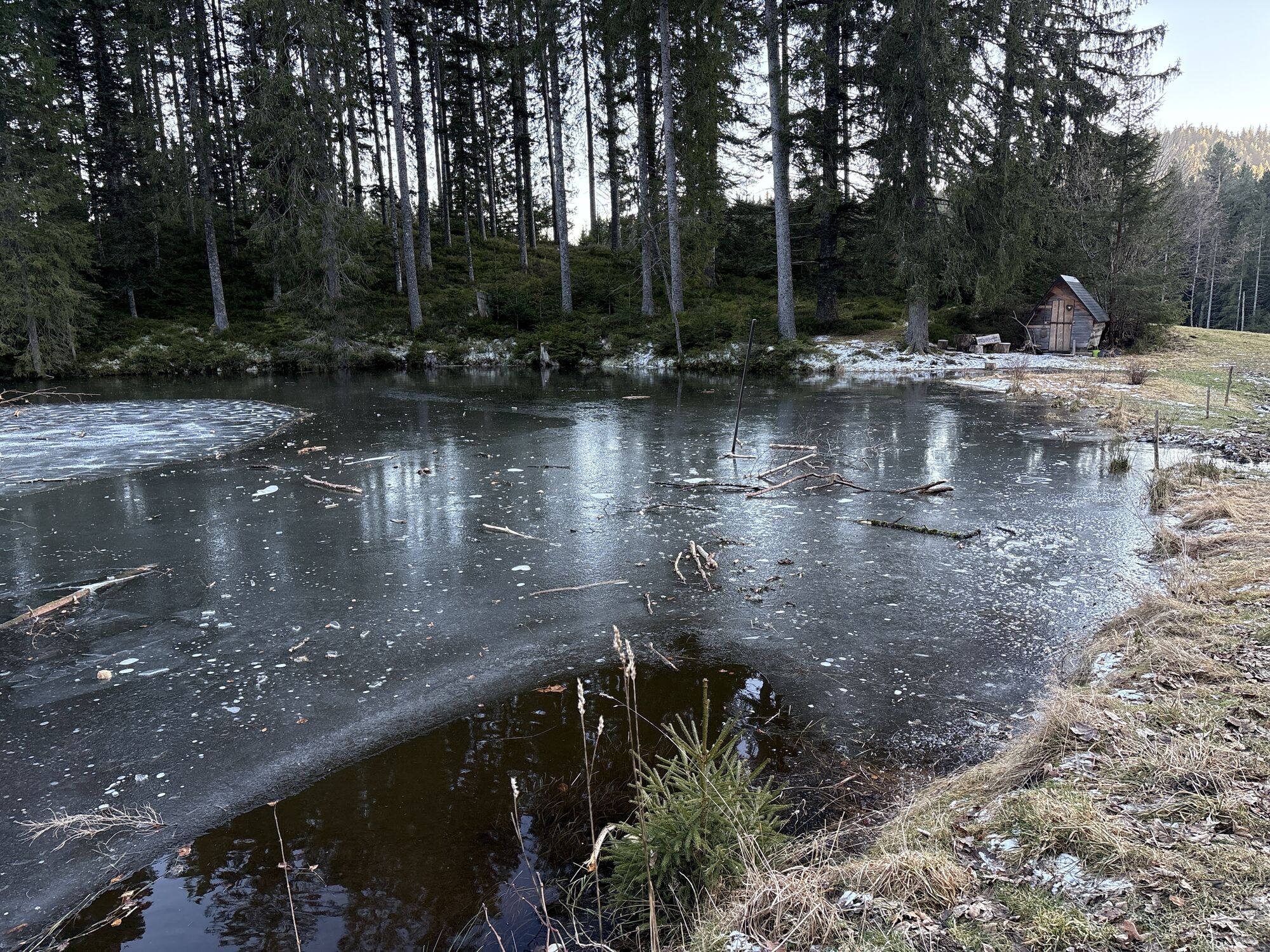
Mystischer Weg zum Mathisleweiher

Entre exuberantes pastos de montaña, hormigueros bulliciosos y orquídeas silvestres, la ruta le llevará a través de bosques rústicos con peñascos y rocas glaciares hasta el idílico estanque de Mathisleweiher.


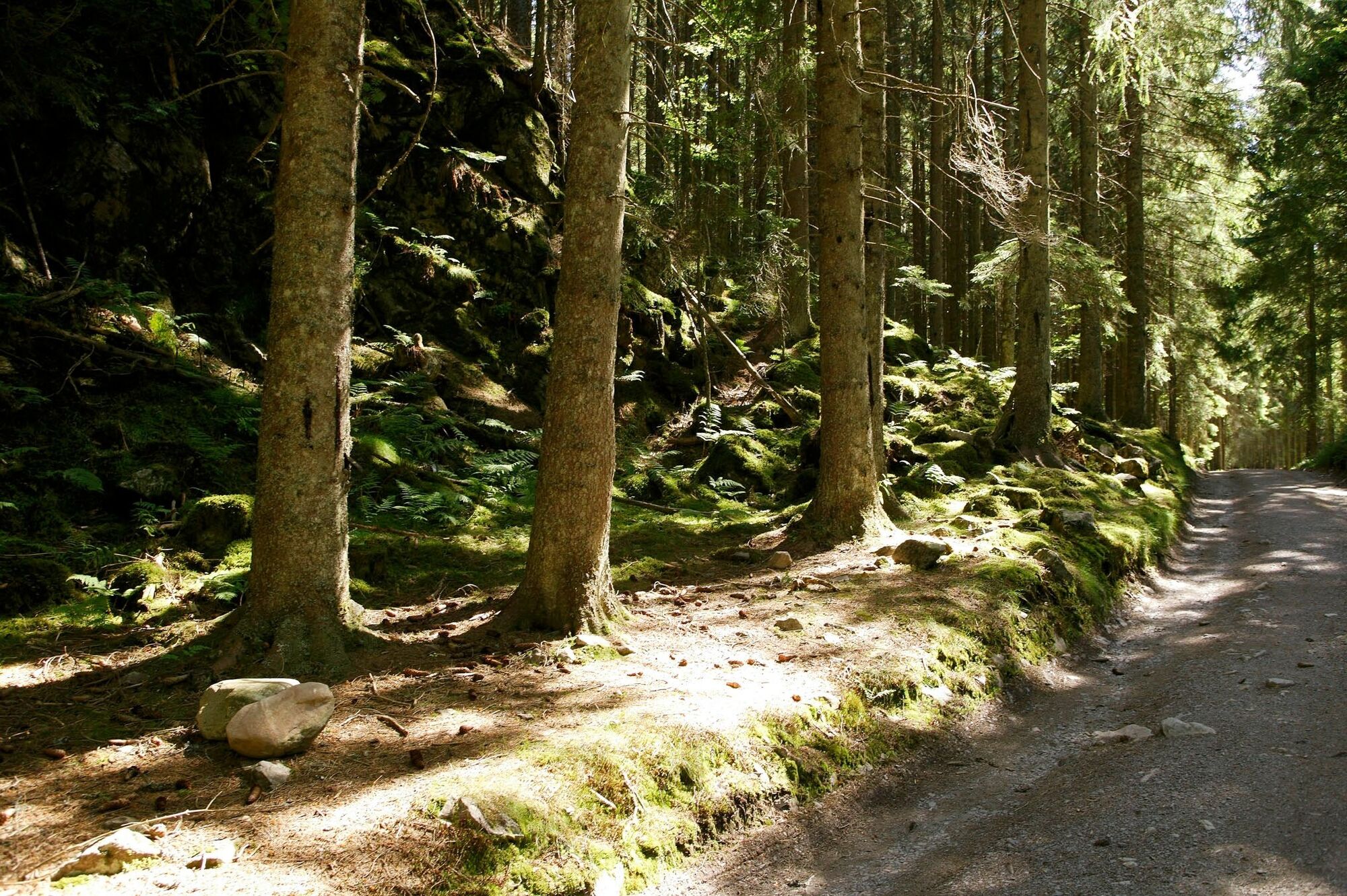

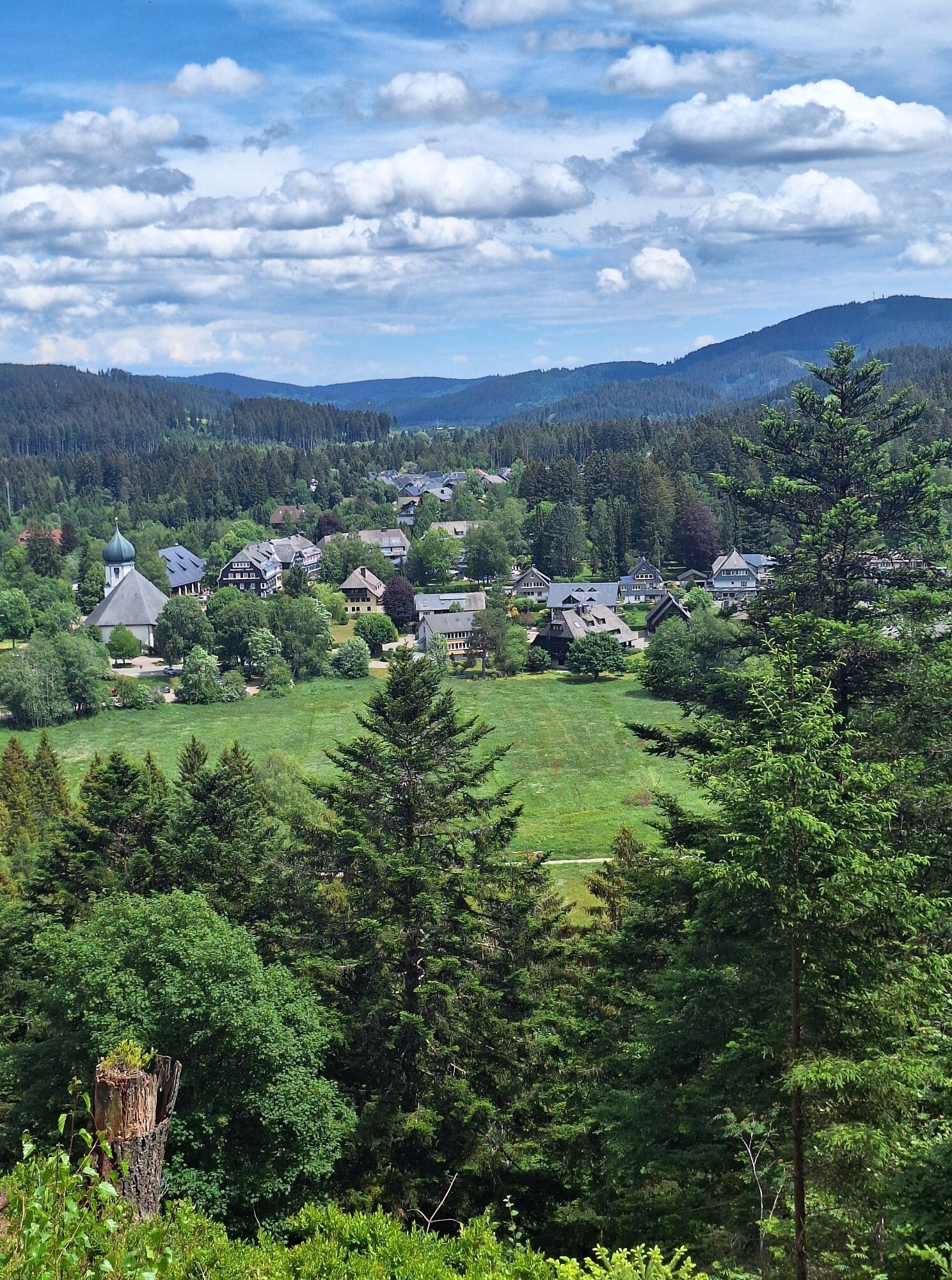
You start the tour behind the Kurhaus Hinterzarten. The path leads you over the Herchenwäldele in the direction of the Vinzenz-Zahn-Kreuz to the Wolfsgrund children's playground and from there in the direction of the former youth ski jump on the Kesslerhang.
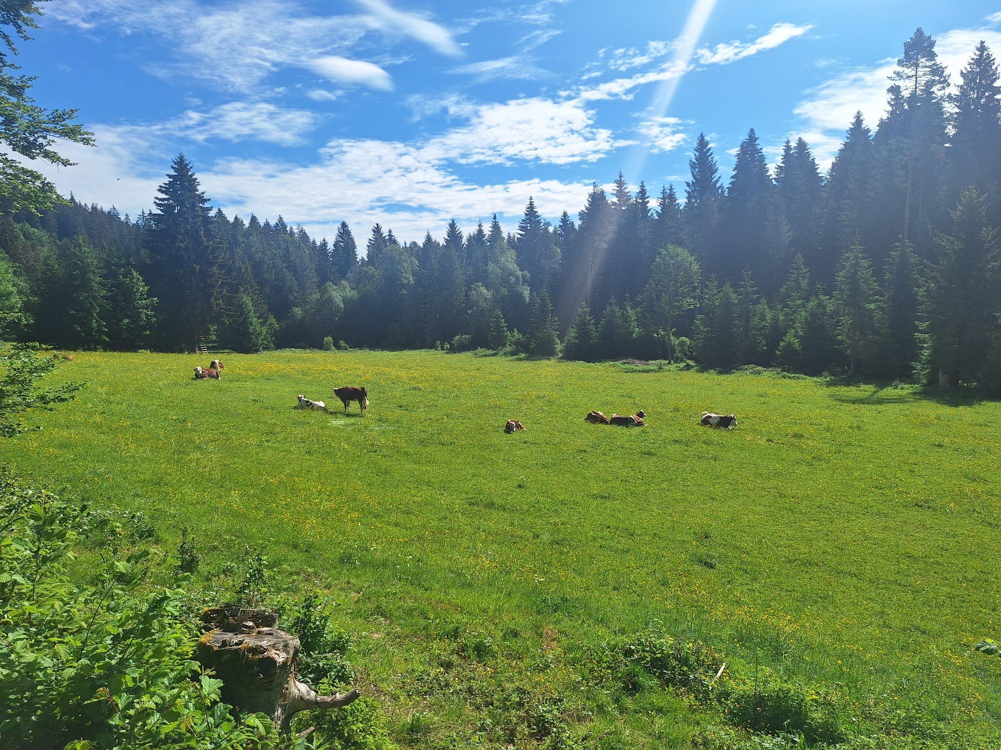
You reach the Kesslerhof, where the milk really does come from happy cows. On the right-hand side at the edge of the forest, you climb slightly uphill on the Emil-Thoma-Weg. A small fish pond invites you to linger.
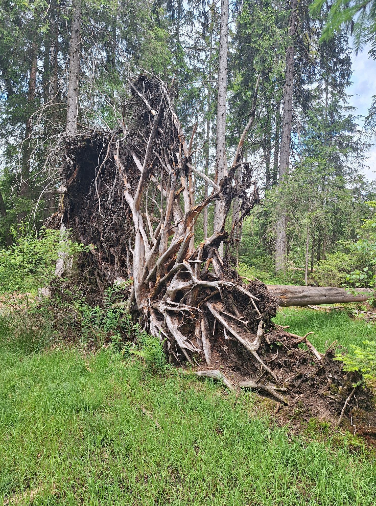
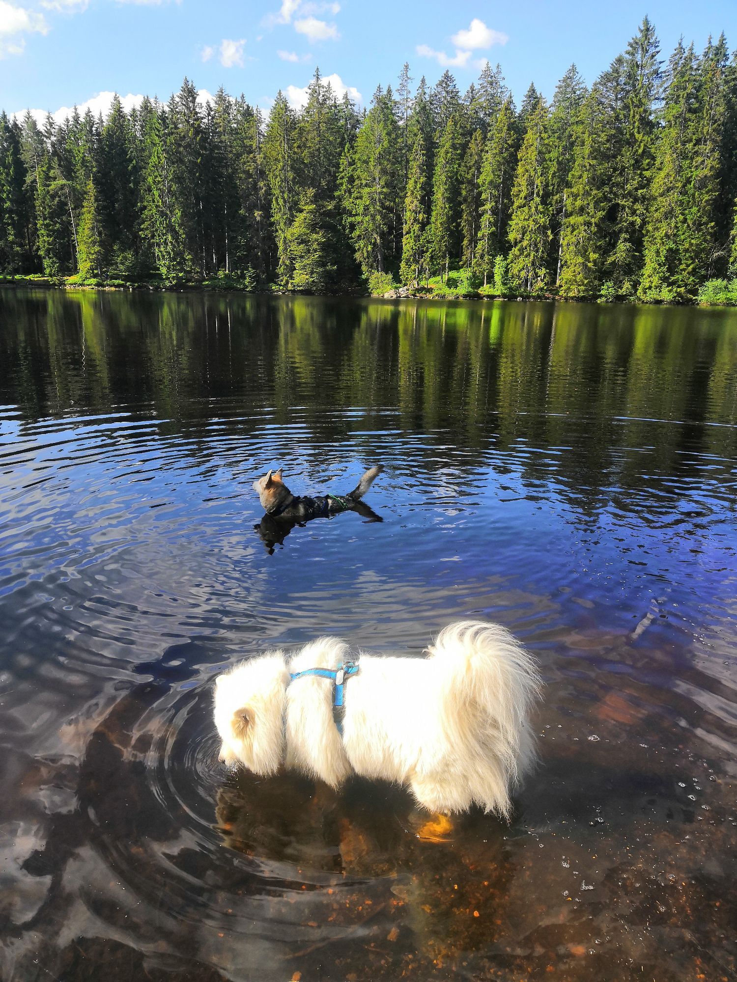
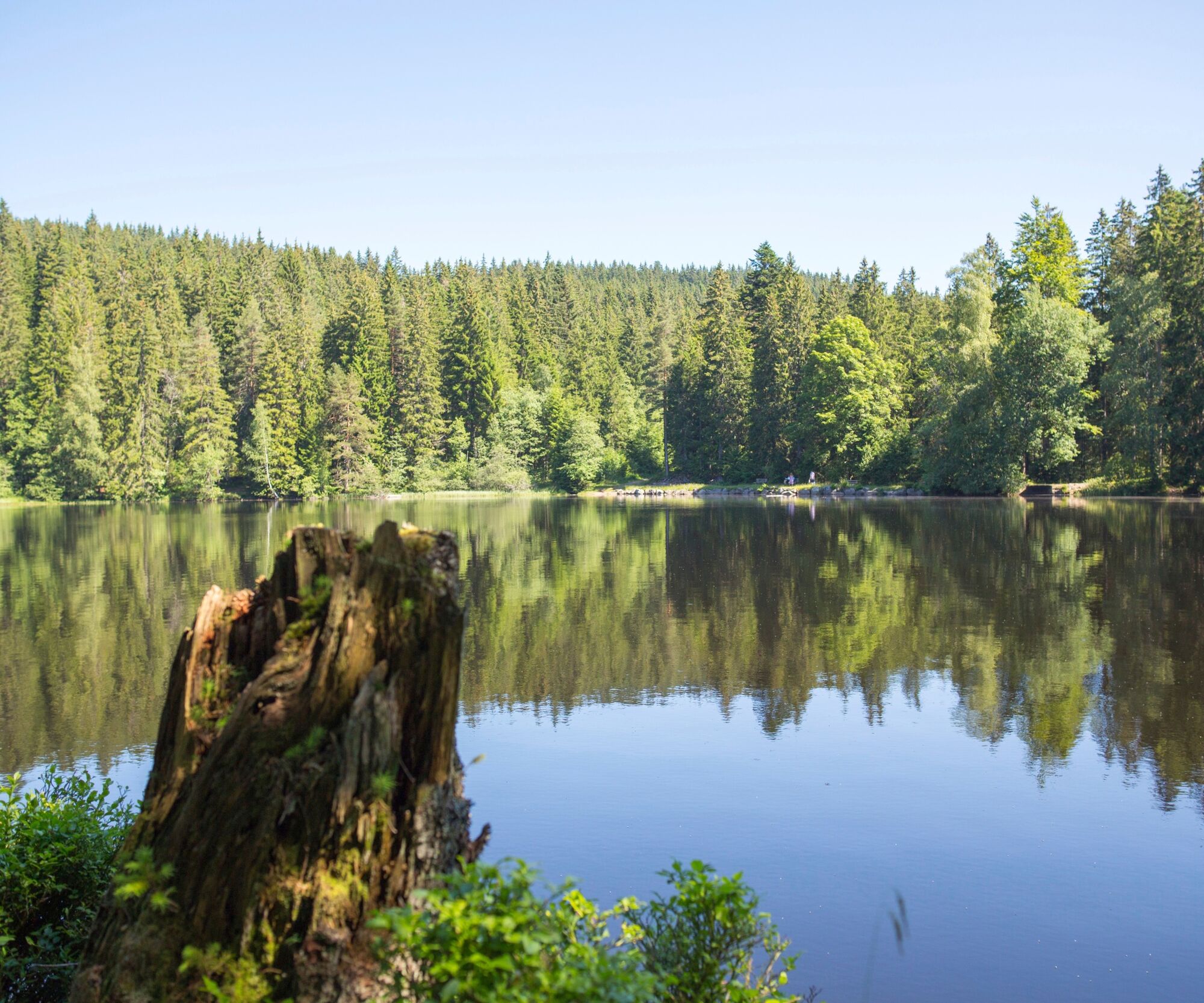
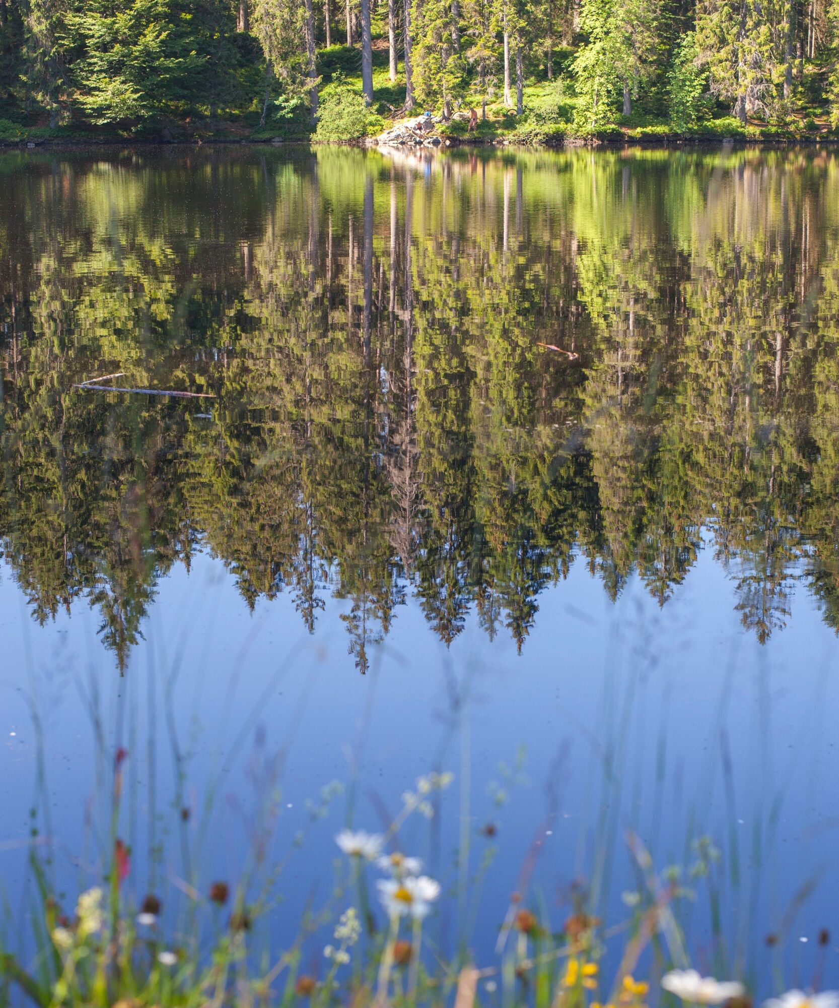
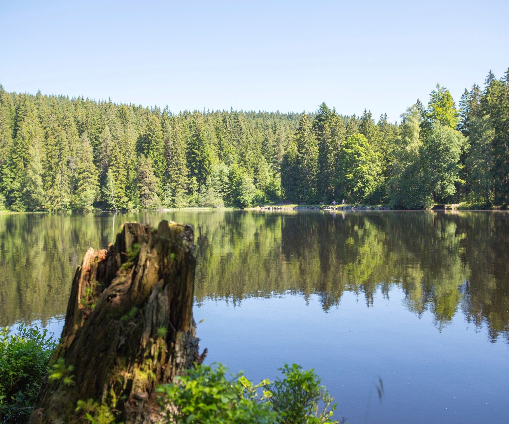
Follow the path and turn left in Stuckwald forest, down to the mysterious Mathisleweiher pond, some of whose banks are protected and enjoy the idyllic setting. You stroll along the left side of the lake and head towards Oberzarten
Sí
Sí
We recommend sturdy shoes!
https://www.google.com/maps/di...Anfahrt zum Startpunkt
From Freiburg:
Take the S11 Neustadt (Schwarzw), get off at Hinterzarten station.
From Donaueschingen:
Take the S10 in the direction of Breisach (Schwarzw), get off at Hinterzarten.
From Lörrach:
By train SBB86127 from Lörrach to Weil am Rhein, change to ICE 2261 to Freiburg. Take the S1 Seebrugg, get off at Hinterzarten station.
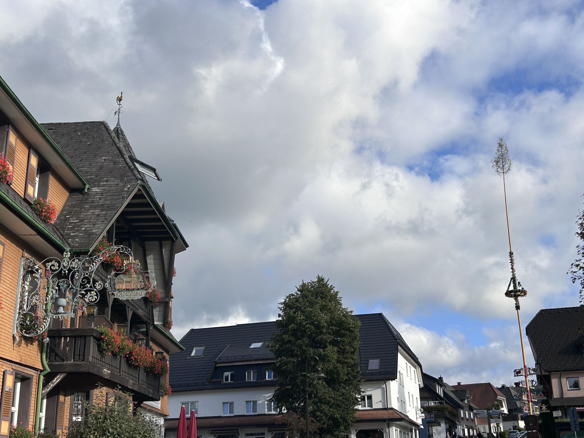
Kurhaus Hinterzarten
Guided tours of the Mathislehof farm, explore the “petting zoo” with sheep, rabbits and cats and taste all of our own milk and sausage products!
Webcams del recorrido
Rutas populares en los alrededores
-
4,7
Heimatpfad Hochschwarzwald- Mühlen und Sägen in der Schlucht
medioSenderismo 7,42 km -
3,7
Seerundweg Titisee
luzSenderismo 5,84 km -
4,4
Durch den mystischen Bannwald zum Zweribach-Wasserfall
medioSenderismo 12,3 km -
3,9
Von Titisee zum aussichtsreichen Hochfirst
medioSenderismo 10,6 km -
4,1
Höhenklimaweg Titisee-Rundweg
medioSenderismo 7,44 km -
3,8
Genießerpfad - Säbelthomaweg
medioSendero temático 11,3 km -
4,3
Ravennaschlucht
Senderismo 6,90 km -
4,0
Höhenmeter auf dem Herzogenhorn
medioSenderismo 11,1 km -
4,8
Sonnenaufgang und Feldbergsteig
medioSenderismo 11,6 km -
5,0
Genießerpfad - Menzenschwander Geißenpfad
medioSendero temático 9,78 km
Senderismo y rastreo


No se pierda las ofertas y la inspiración para sus próximas vacaciones
Su dirección de correo electrónico se ha añadido a la lista de correo.