





Höhenklimaweg Schluchsee Hotzenwegrunde
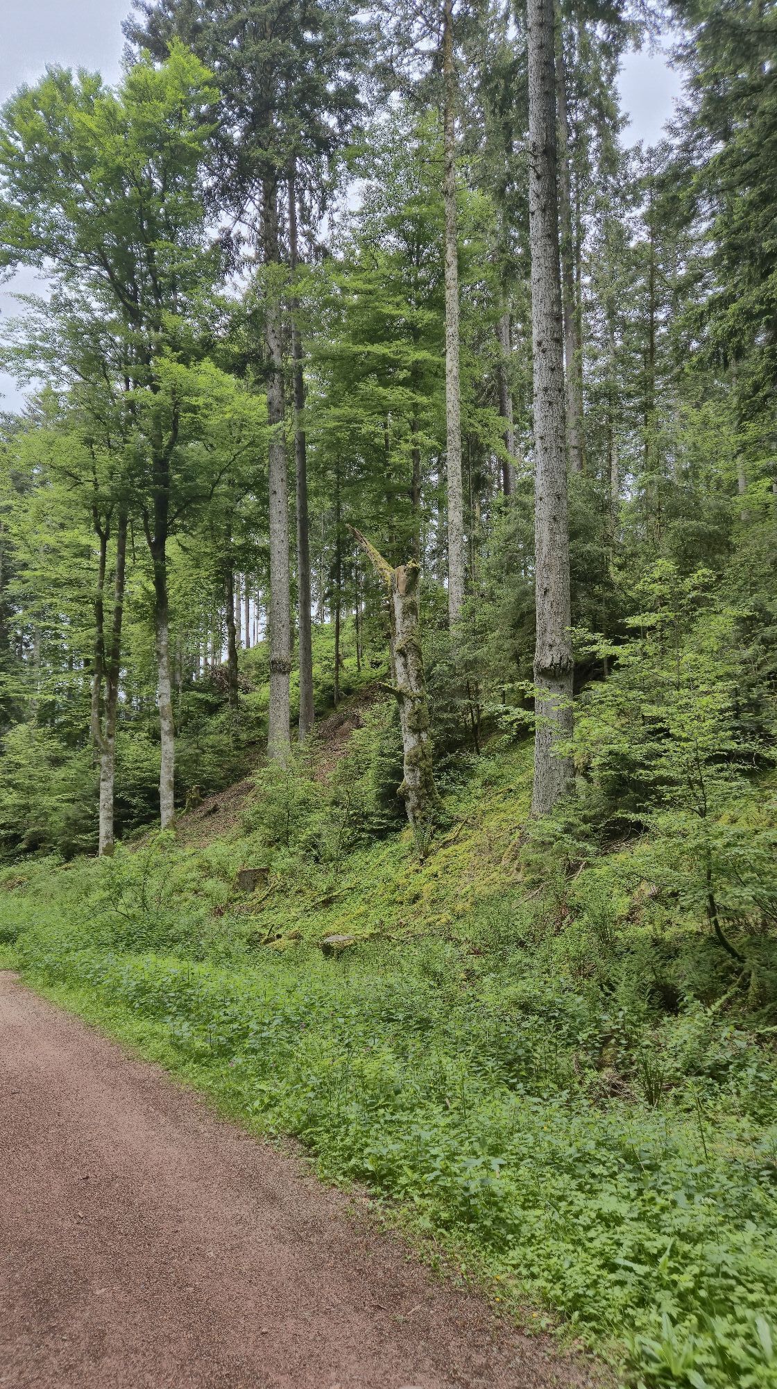
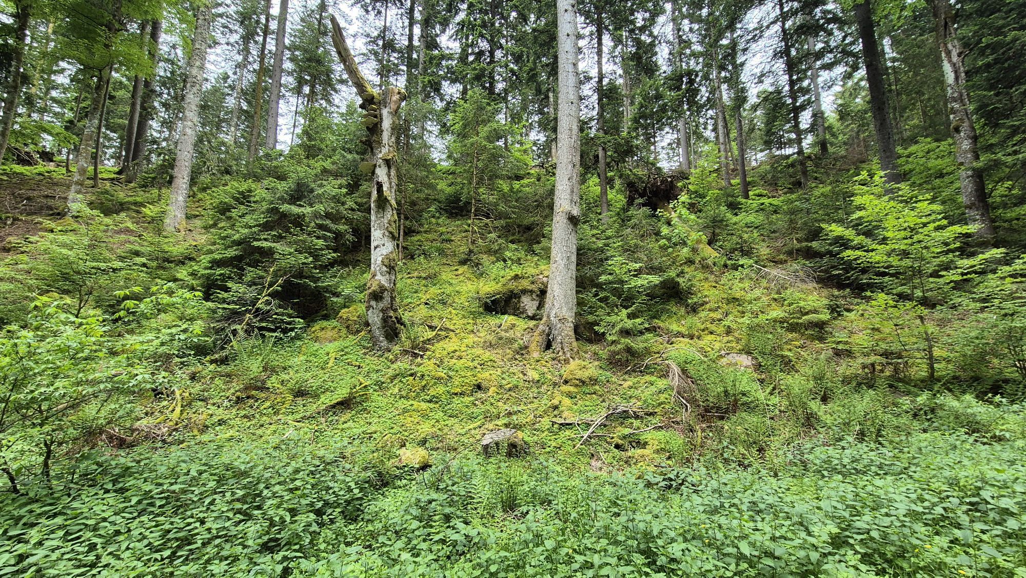
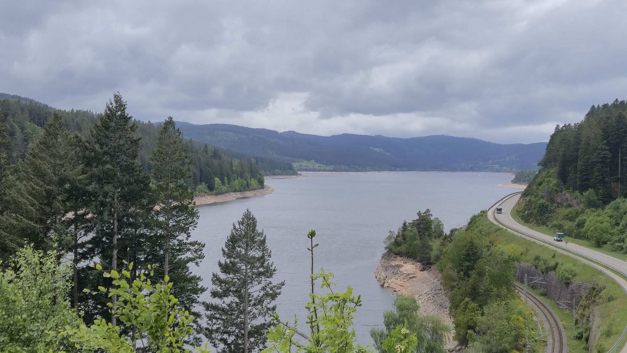
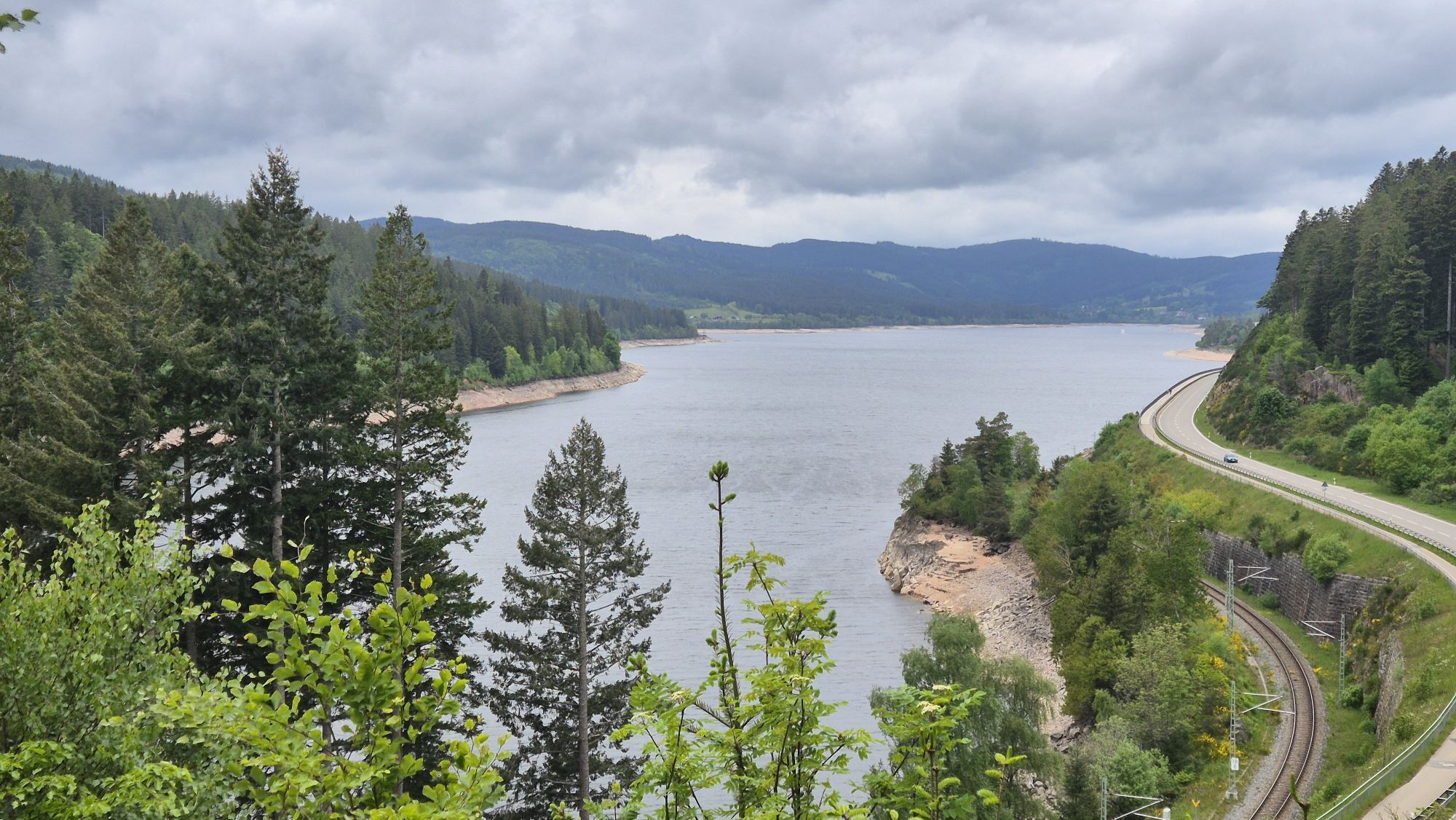
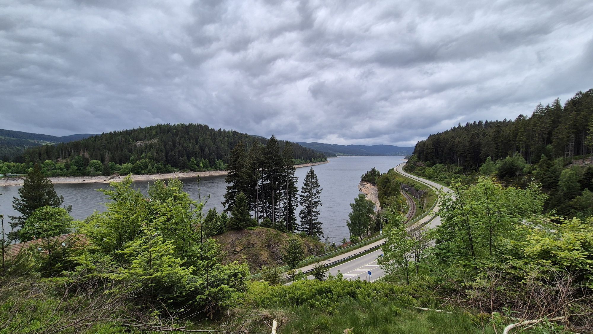
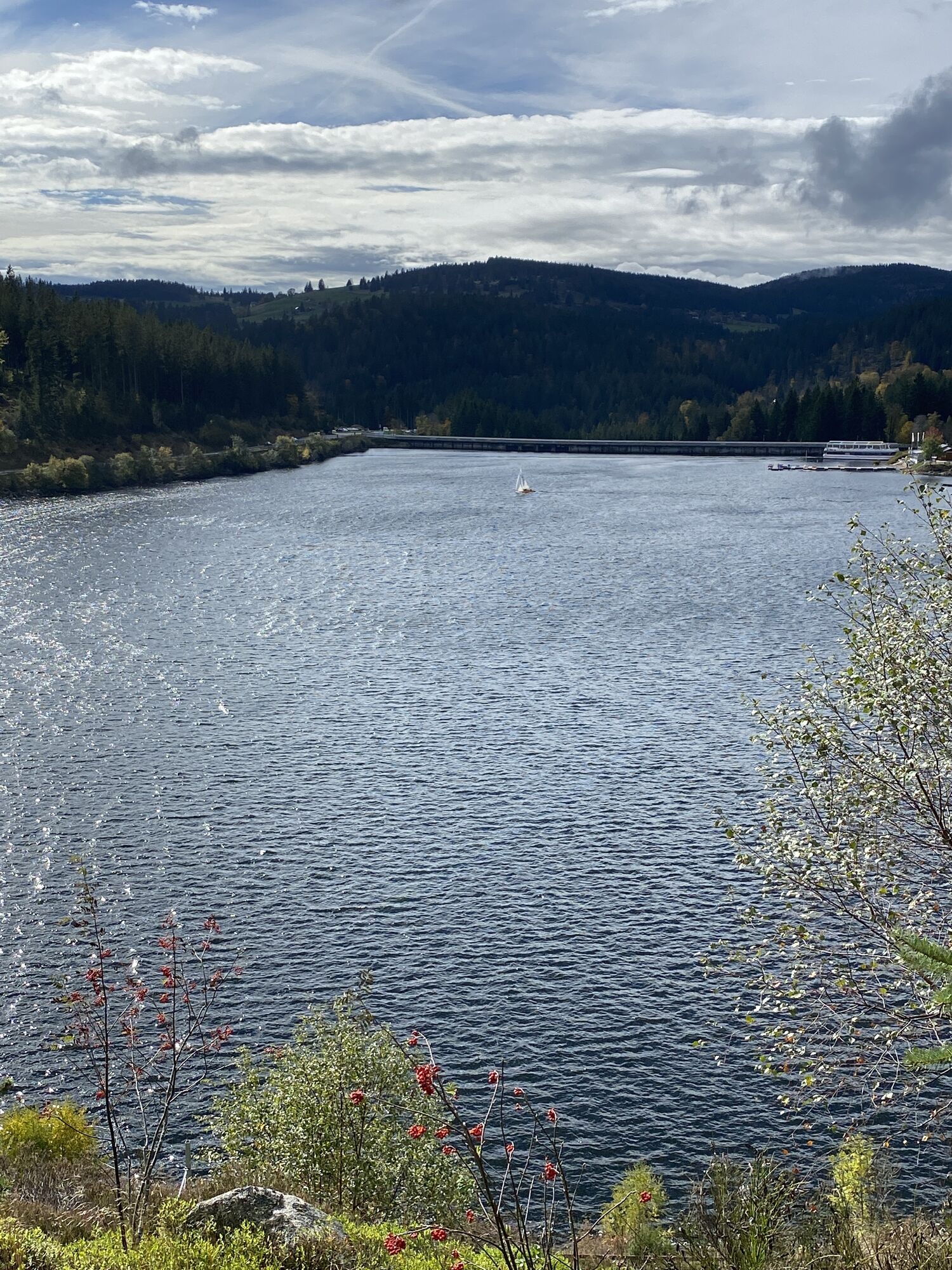
Déjese llevar por los bosques y las montañas de Schluchsee. Disfrute de la tranquilidad del bosque y de una magnífica vista en el banco de descanso del Hotzenweg.

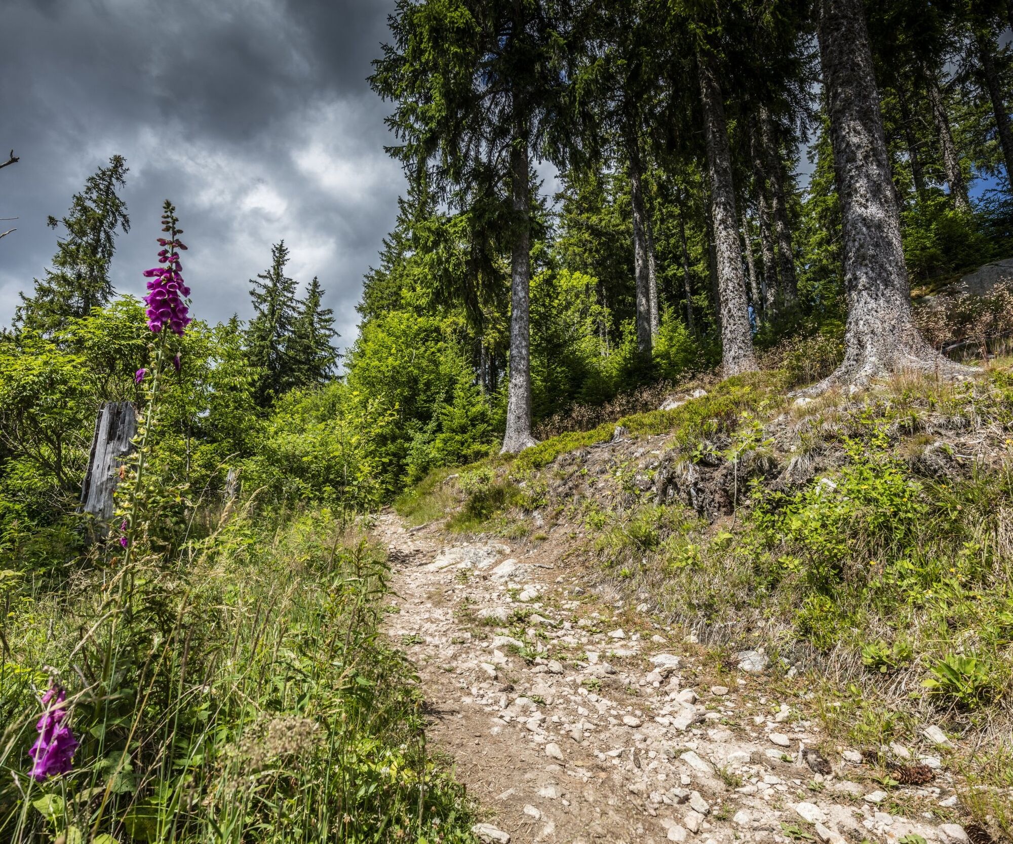

You start your tour at the "Kurhaus" in Schluchsee. From here, cross the church square of "St. Nikolaus" Catholic Church with its fountain and take the "Kirchsteig" path down to the road. Follow this until the next crossroads, where you turn left and walk up "Faulenfürster Straße".
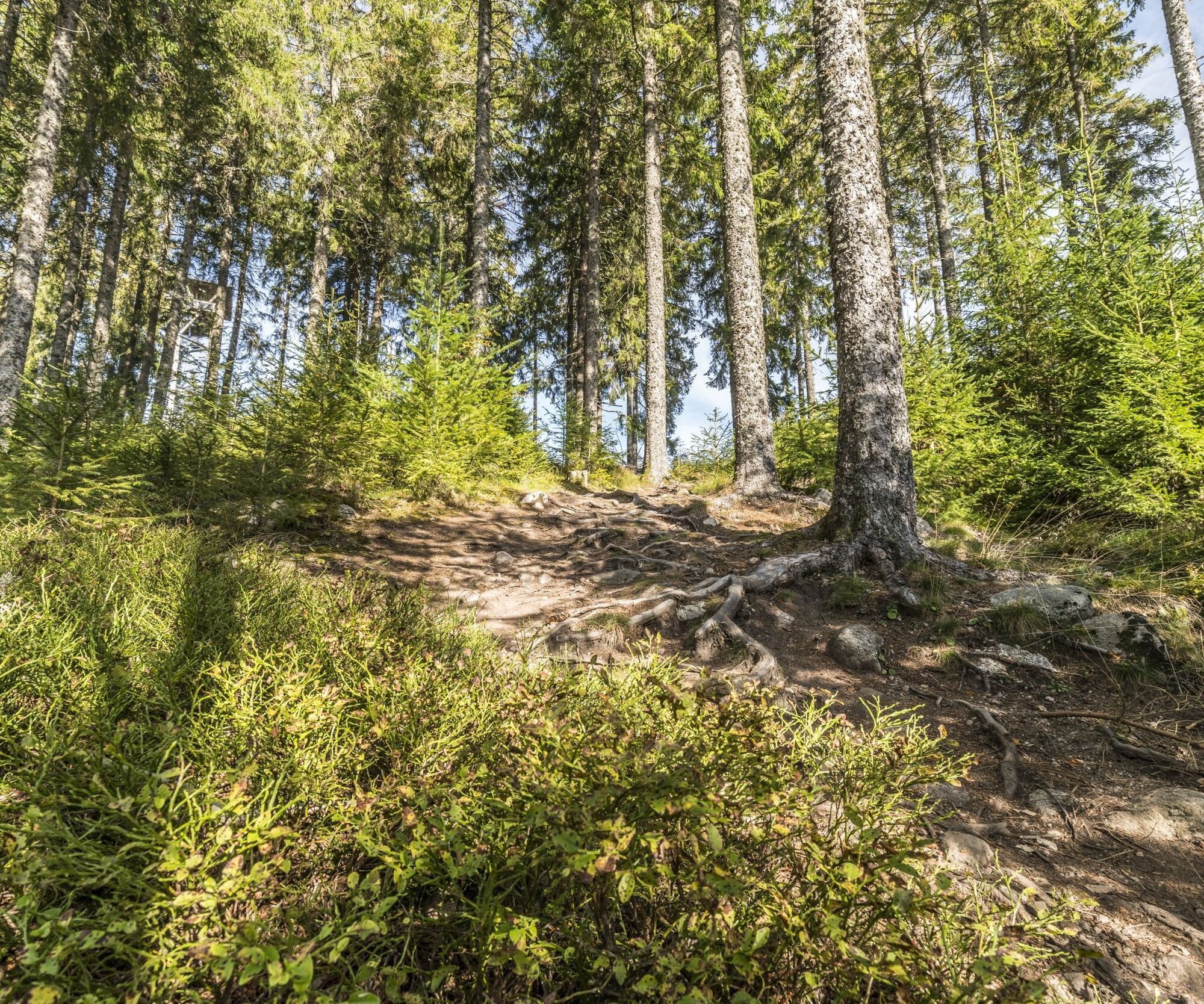
At the end of the village, turn left onto the "Spannerhauserweg" hiking and forest trail, which you follow towards "Faulenfürster Eck". Walk uphill through the forest past forest rangers' stands and enjoy the pleasant, cool forest air. At the top, you will find yourself at the Faulenfürster Eck crossroads. Turn right here and then immediately turn right again onto the "Grenzweg".
Follow this until our signpost leads you to the left onto a hill. Keep left until you come to the "Glasweg". Then turn left and shortly afterwards right onto the "Hotzenweg" towards Seebrugg.
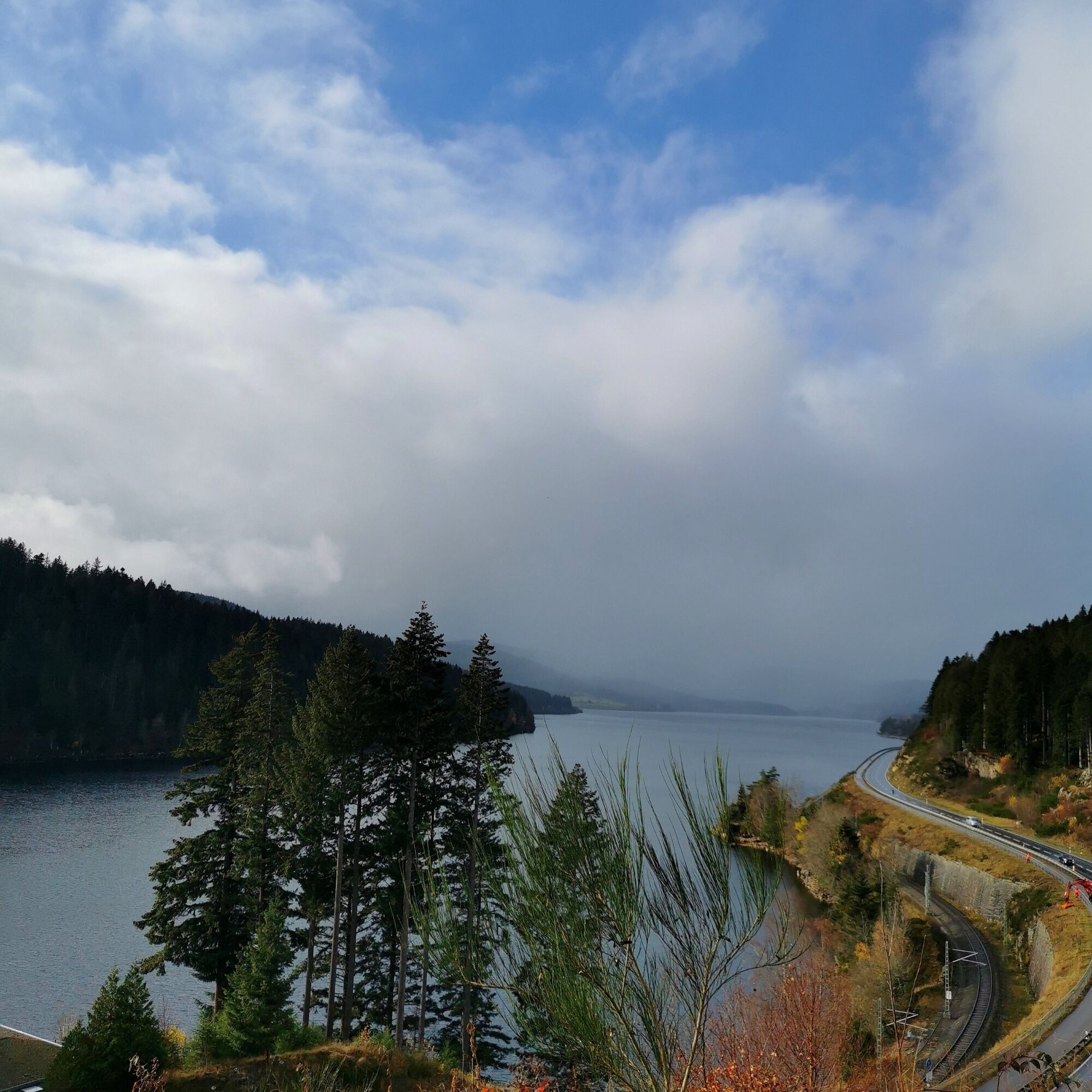
You reach a smaller forest path again, which you follow. Here you can enjoy the view of the dam wall from the rest bench on the Hotzenweg in Schluchsee-Seebrugg. Follow the path downhill, then walk along the "Kohlgrubenweg" towards Schluchsee and end your tour at the Kurhaus.
Sí
We suggest hiking boots!
The path is not suitable for baby carriages.
Please pay attention to the signs on the hiking trail. You can find precise and detailed information about the signs and the hiking guidance system on our website. In emergencies, call 112.
Dogs can be taken along, but must be kept on a lead.
Parking garage at the "Kurhaus"
Requirements due to the climate: low
Shady and wind-protected path through the forest, only exposed to the sun at the start. Increased cold stimulus in winter, very rarely exposed to heat in summer.
After the hike, you can cool off in the Schluchsee or explore the lake on a boat trip.

Webcams del recorrido
Infórmate
Siempre en directo con más de 9.500 webcams. bergfex Como usuario Pro, ahora puede ver las webcams correspondientes a muchos tours en la app de tours desde. Esto le permite ver las condiciones actuales directamente.
Rutas populares en los alrededores
-
4,7
Heimatpfad Hochschwarzwald- Mühlen und Sägen in der Schlucht
medioSenderismo 7,42 km -
3,8
Seerundweg Titisee
luzSenderismo 5,84 km -
4,1
Höhenklimaweg Titisee-Rundweg
medioSenderismo 7,44 km -
3,9
Von Titisee zum aussichtsreichen Hochfirst
medioSenderismo 10,6 km -
3,8
Genießerpfad - Säbelthomaweg
medioSendero temático 11,3 km -
4,0
Höhenmeter auf dem Herzogenhorn
medioSenderismo 11,1 km -
5,0
Genießerpfad - Menzenschwander Geißenpfad
medioSendero temático 9,78 km -
5,0
Wutachschlucht+Lotenbachklamm
luzSenderismo 10,0 km -
4,3
Mystischer Weg zum Mathisleweiher
medioSenderismo 8,94 km -
4,7
Seerundweg Schluchsee
medioSenderismo 17,7 km
Senderismo y rastreo


No se pierda las ofertas y la inspiración para sus próximas vacaciones
Su dirección de correo electrónico se ha añadido a la lista de correo.





