






Höhenklimaweg St. Blasien Bötzbergsteig
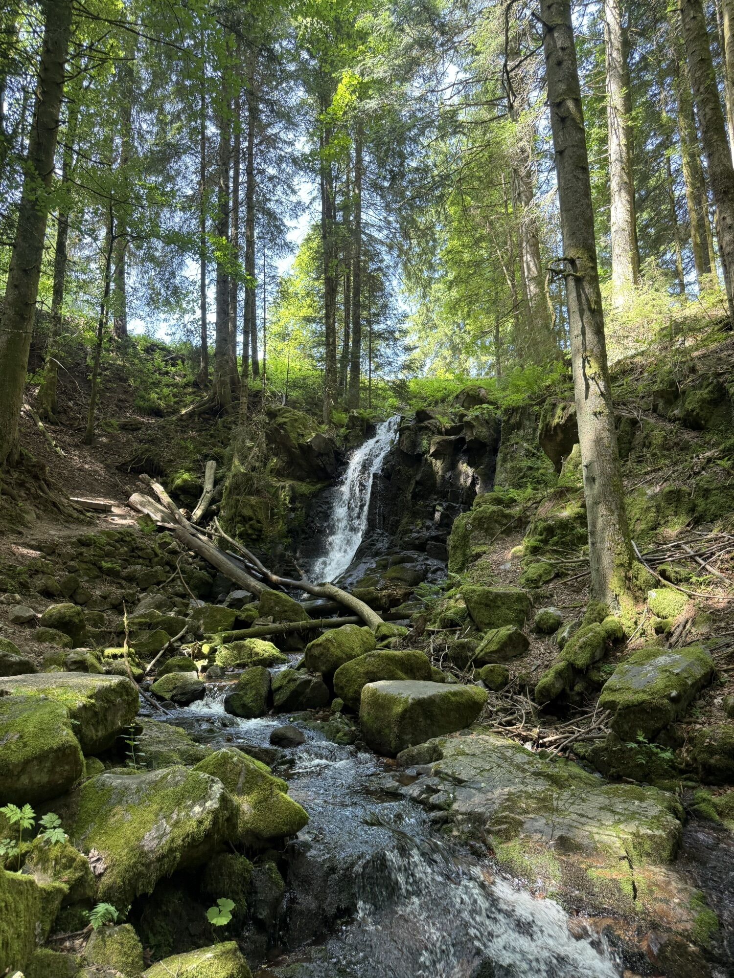
Hay algo para todos los gustos en esta excursión, que le llevará por bosques autóctonos, a través de pastos y praderas y por el desfiladero de Windberg, con sus estrechos senderos. También pasarás por...
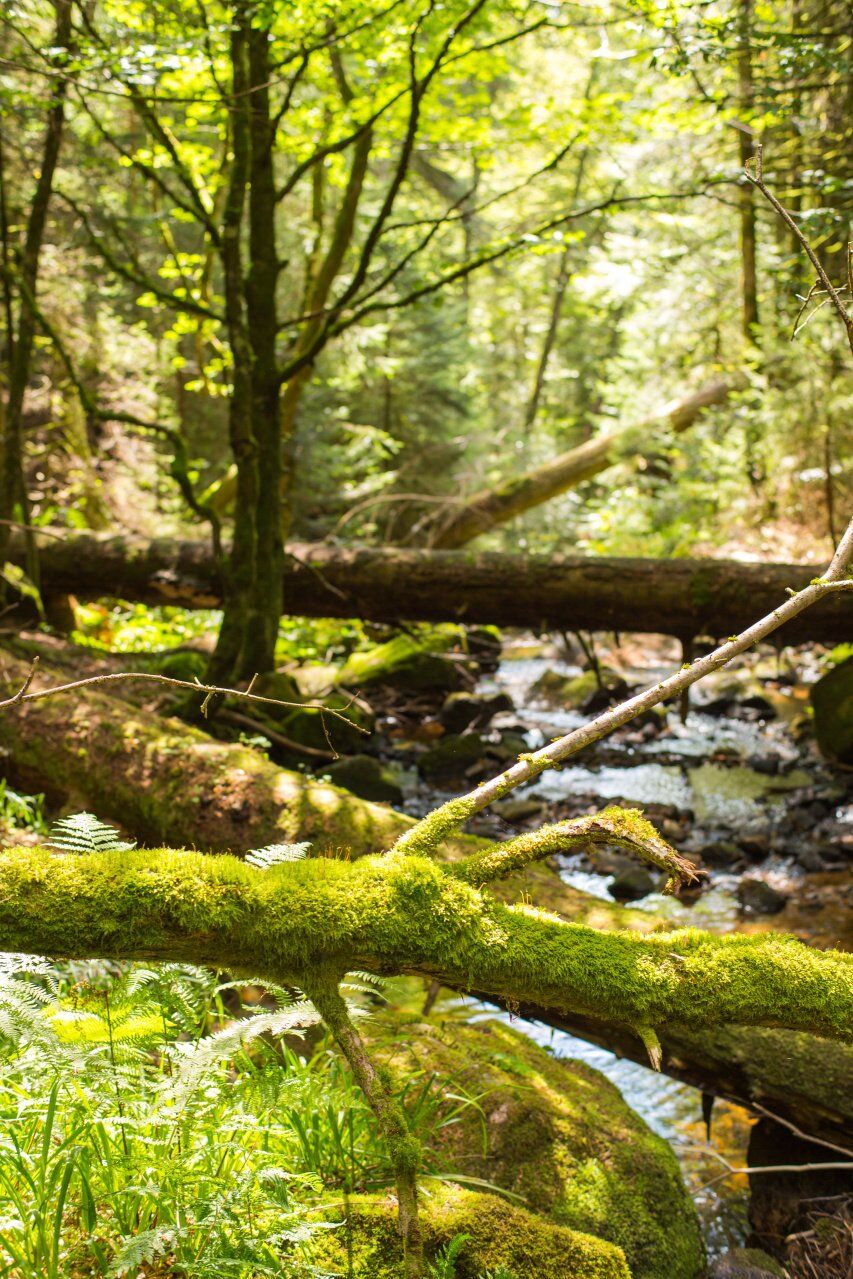
Hay algo para todos los gustos en esta excursión, que le llevará por bosques autóctonos, a través de pastos y praderas y por el desfiladero de Windberg, con sus estrechos senderos. También pasarás por una reserva de caza y varias áreas de descanso donde tendrás tiempo para relajarte.

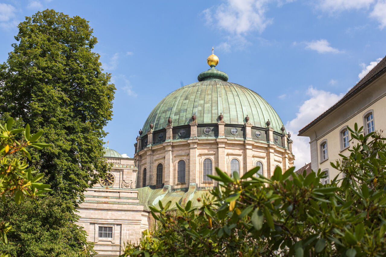
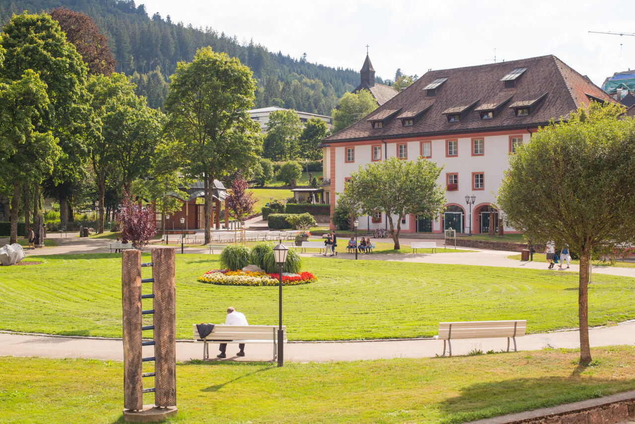
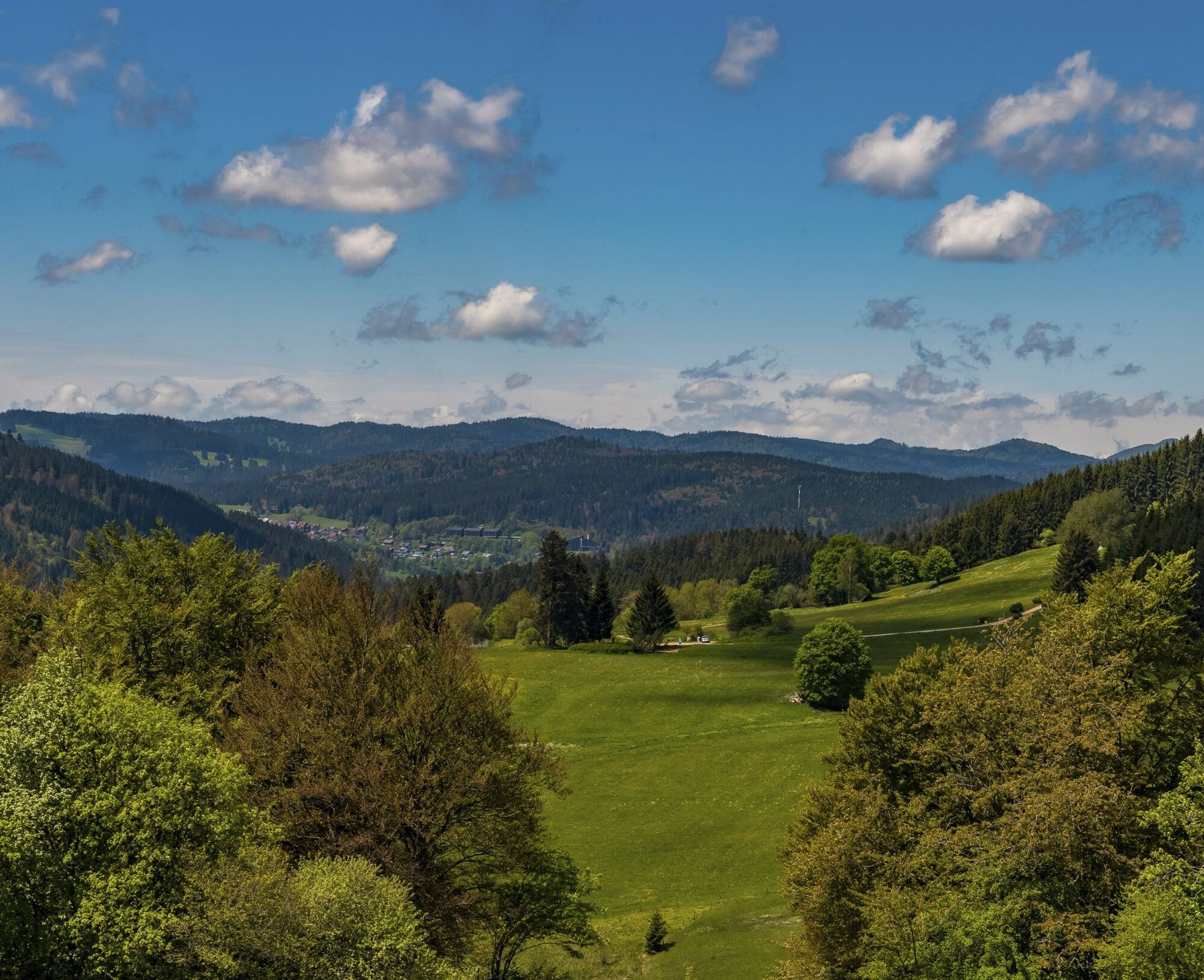
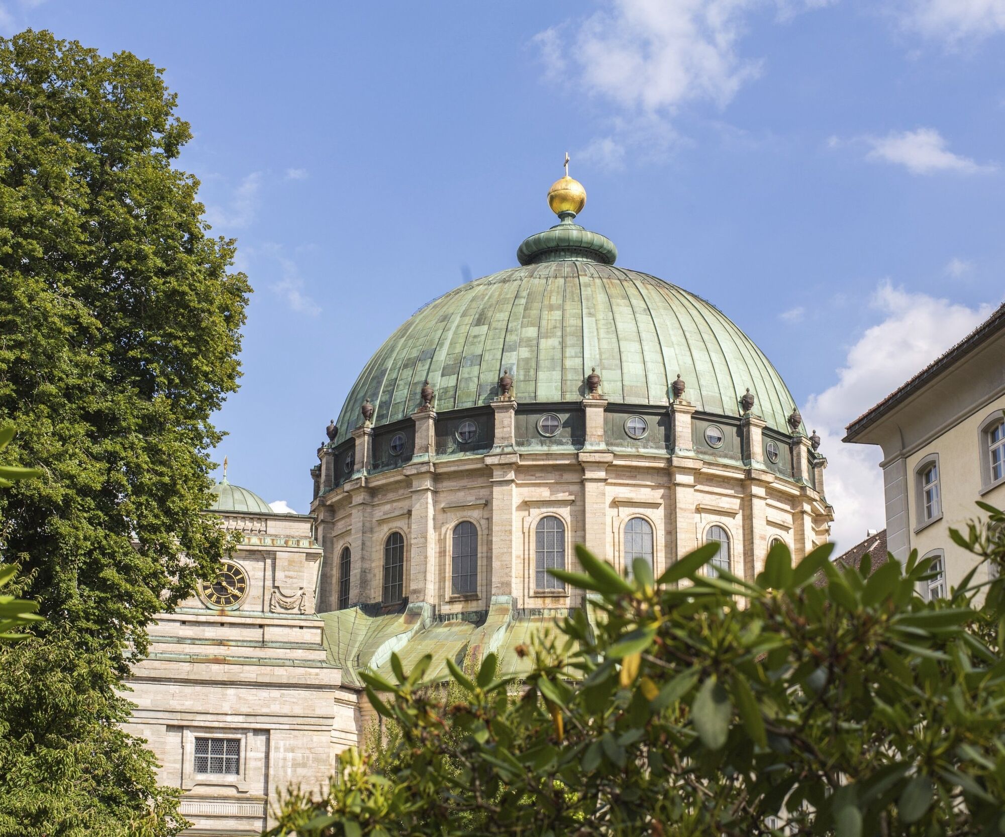
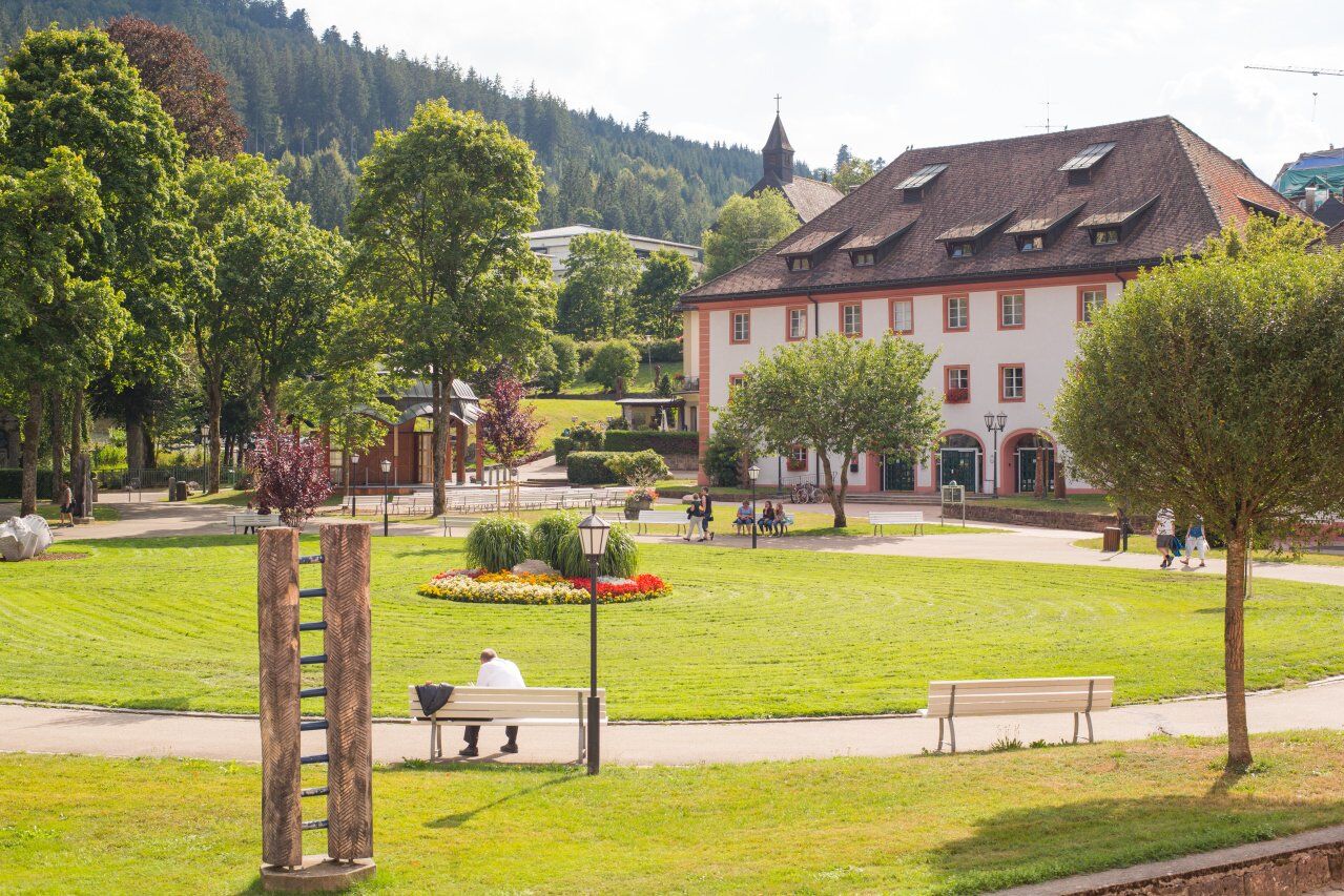

From the "Haus des Gastes" in St. Blasien, cross the park and pass through the archway. Then cross the bridge and follow the road a few meters to the left before taking the first right onto a path. Pass the clinic and walk along the slope above the village in the direction of the game reserve.
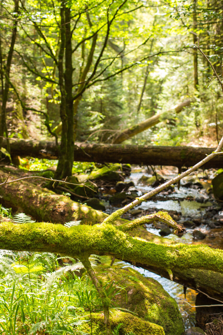
You will soon reach the first rest area, where you can cool your feet in the refreshing water before warming them up again. From here, you also have a beautiful view of the town. The route continues past the nature park and game reserve, following the blue diamond uphill through the forest. Enjoy the cool, spicy air of the forest as you climb and follow the footpath to the right of the valley further uphill to the "Blasiwald-Muchenland" hiking parking lot. Here you can have a picnic and enjoy the view of two valleys.
Well rested, you continue towards the "Wittemlehütte", following the "Schluchtensteig" trail. Here in the open terrain, you can enjoy the view to the east, the sun and the wind. You soon pass through a dense forest before you reach the plateau again. Here you cross some cattle gates and now enjoy the view of numerous hills, forests and meadows. Further downhill, you finally reach the houses of "Althütte" with its small Pantaleon chapel. At the parking lot, take the middle path straight ahead in the direction of "Windbergschlucht" gorge and enter the forest again.
Now walk downhill until you reach the "Windberghütte" signpost. Here you change sides of the valley and walk downhill back towards St. Blasien. A little later, you will reach a narrow path on the left that leads you down into the Windberg gorge. Over small bridges and narrow bends, you finally reach the end of the gorge and arrive back in the town. With a baby carriage or wheelchair, you can alternatively stay on the path straight ahead towards "Felseneck" and comfortably descend into the village. Cross the bridge in front of the cathedral to reach the park and the "Haus des Gastes" again.
Sí
Sí
Sí
We suggest hiking boots!
Please pay attention to the signs on the hiking trail. You can find precise and detailed information about the signs and the hiking guidance system on our website. In emergencies, call 112.
Parking garage at "Dom St. Blasius"
Requirements due to the climate: medium
Predominantly subdued climatic stimuli in the protection of the forest. Temporary intensification of stimuli on the meadows near Blasiwald. Significant differences between the thermal conditions in the village and the cooler sections of trail above. In winter, frequent cold stimuli on the upper sections of the path, in summer only rare heat stress even in the village.
After the hike, you can refresh and rest your tired feet in the idyllic water treading area in the park. You will find it a few meters from the signpost up the small path.
Infórmate
Siempre en directo con más de 9.500 webcams. bergfex Como usuario Pro, ahora puede ver las webcams correspondientes a muchos tours en la app de tours desde. Esto le permite ver las condiciones actuales directamente.
Rutas populares en los alrededores
-
3,8
Seerundweg Titisee
luzSenderismo 5,84 km -
4,1
Höhenklimaweg Titisee-Rundweg
medioSenderismo 7,44 km -
3,9
Von Titisee zum aussichtsreichen Hochfirst
medioSenderismo 10,6 km -
3,8
Genießerpfad - Säbelthomaweg
medioSendero temático 11,3 km -
4,0
Höhenmeter auf dem Herzogenhorn
medioSenderismo 11,1 km -
4,8
Sonnenaufgang und Feldbergsteig
medioSenderismo 11,6 km -
5,0
Genießerpfad - Menzenschwander Geißenpfad
medioSendero temático 9,78 km -
4,3
Mystischer Weg zum Mathisleweiher
medioSenderismo 8,94 km -
4,7
Seerundweg Schluchsee
medioSenderismo 17,7 km -
4,0
Bernauer Hochtal Steig
medioSenderismo 15,9 km
Senderismo y rastreo


No se pierda las ofertas y la inspiración para sus próximas vacaciones
Su dirección de correo electrónico se ha añadido a la lista de correo.





