






Vom Thurner nach St. Märgen
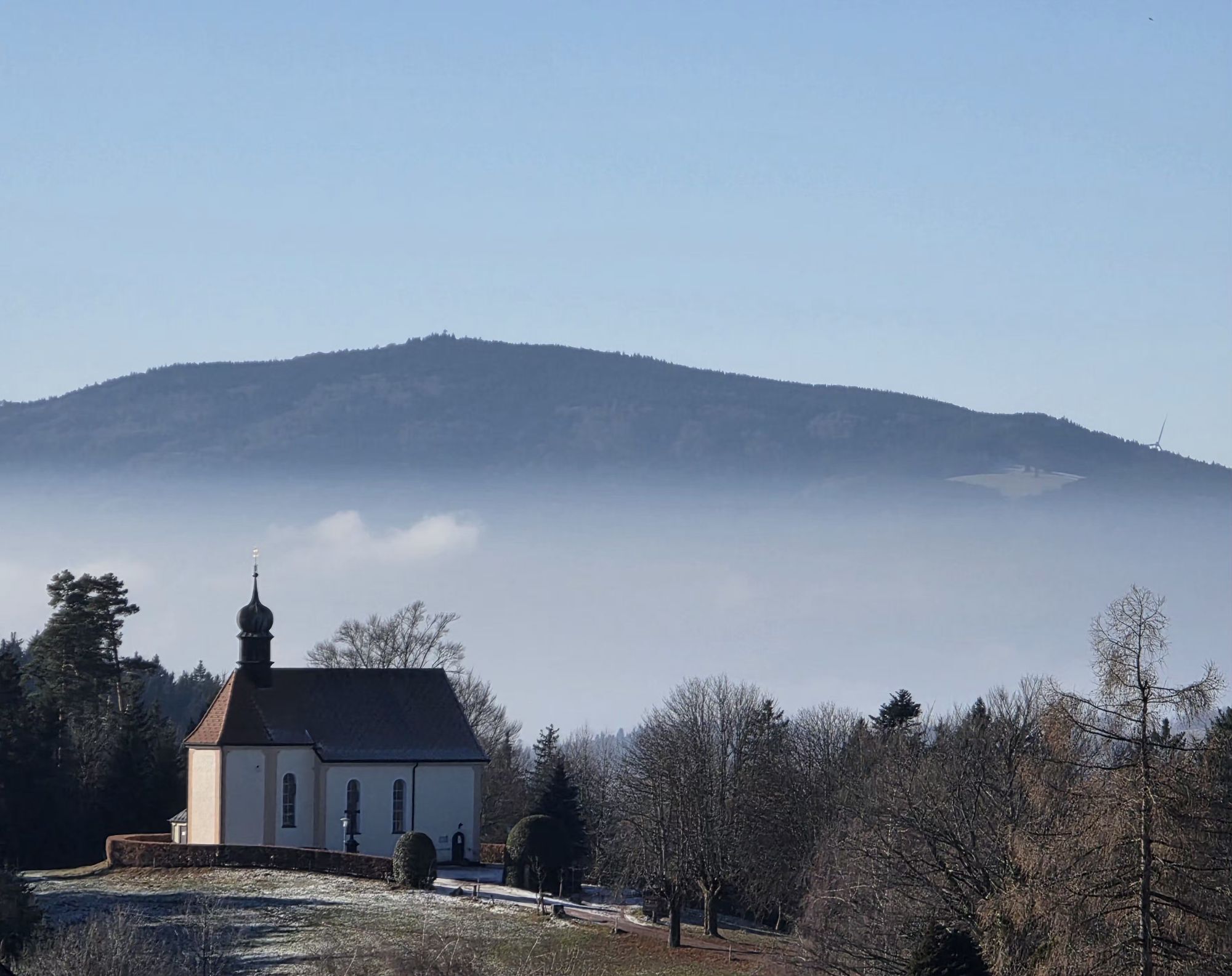
Caminata panorámica de Thurner a St. Märgen, pasando por capillas contemplativas.


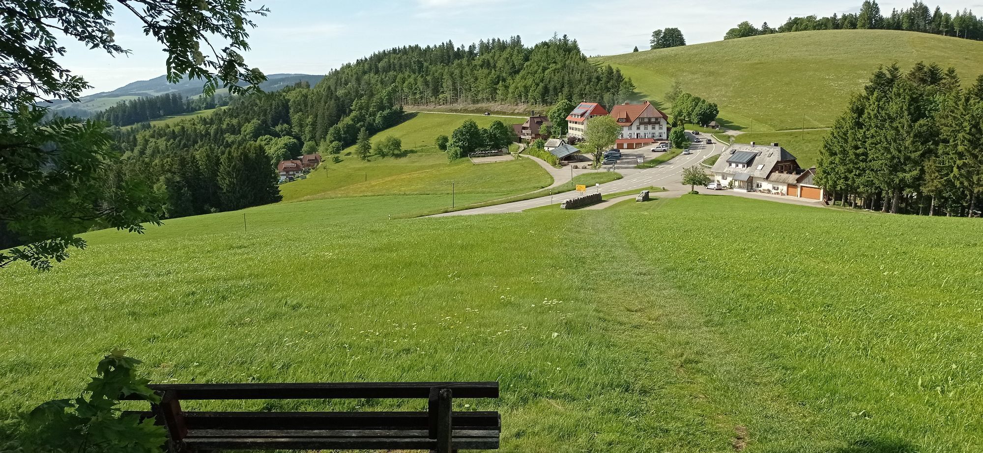
First, get on the 7216 bus and travel from St. Märgen to Thurner. The name Thurner has nothing to do with gymnastics, but comes from a patrician family. The Thurner was once an important stop on the Roman road that led through the Wagensteig valley into the Black Forest.
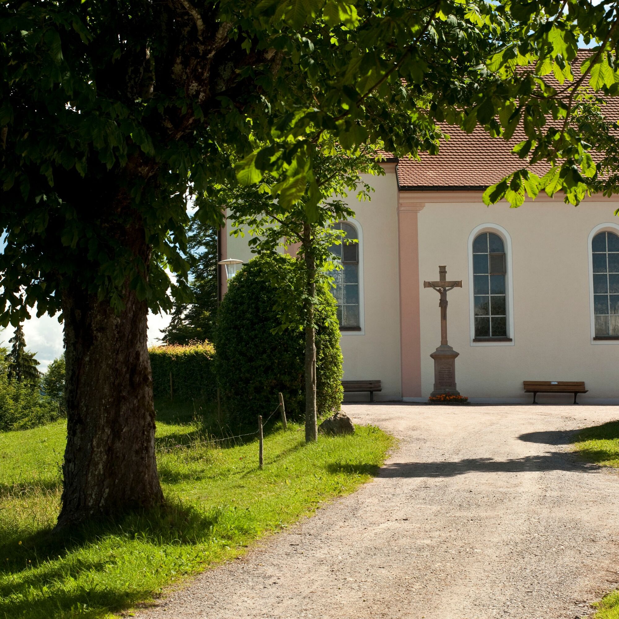
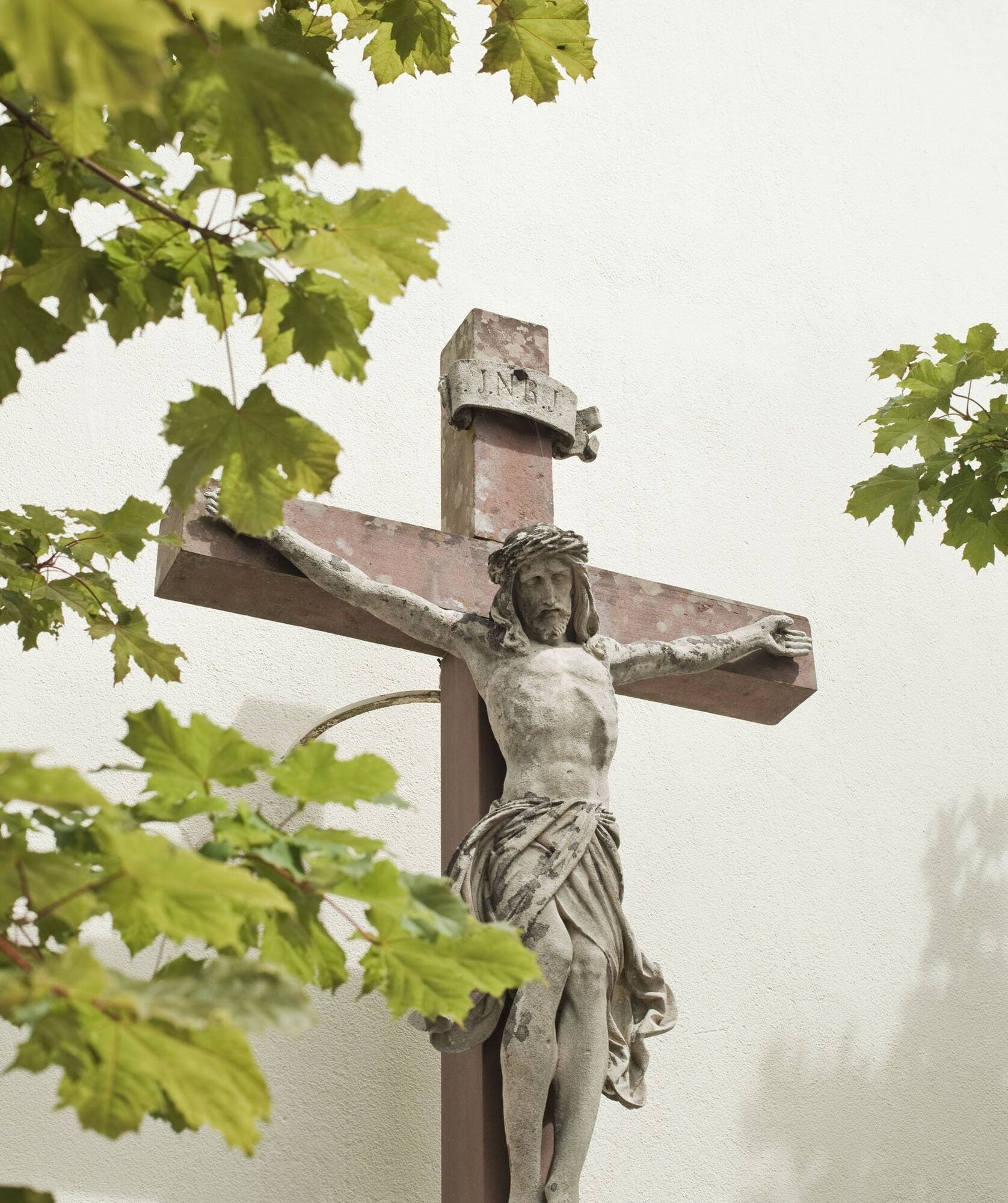
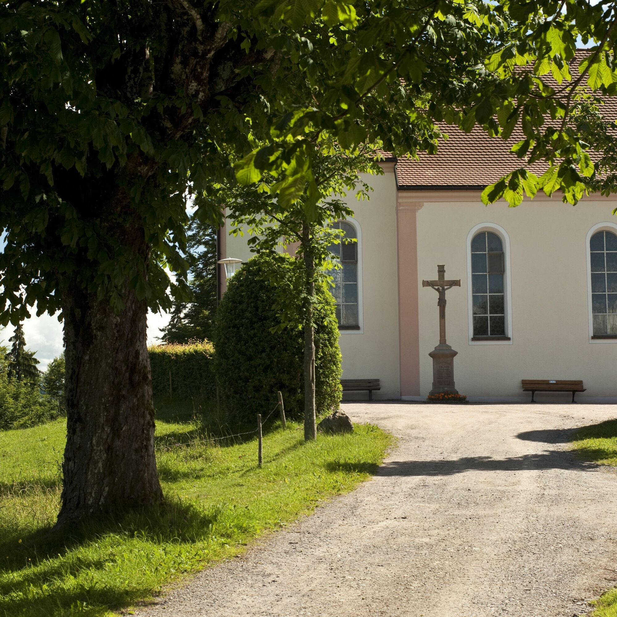
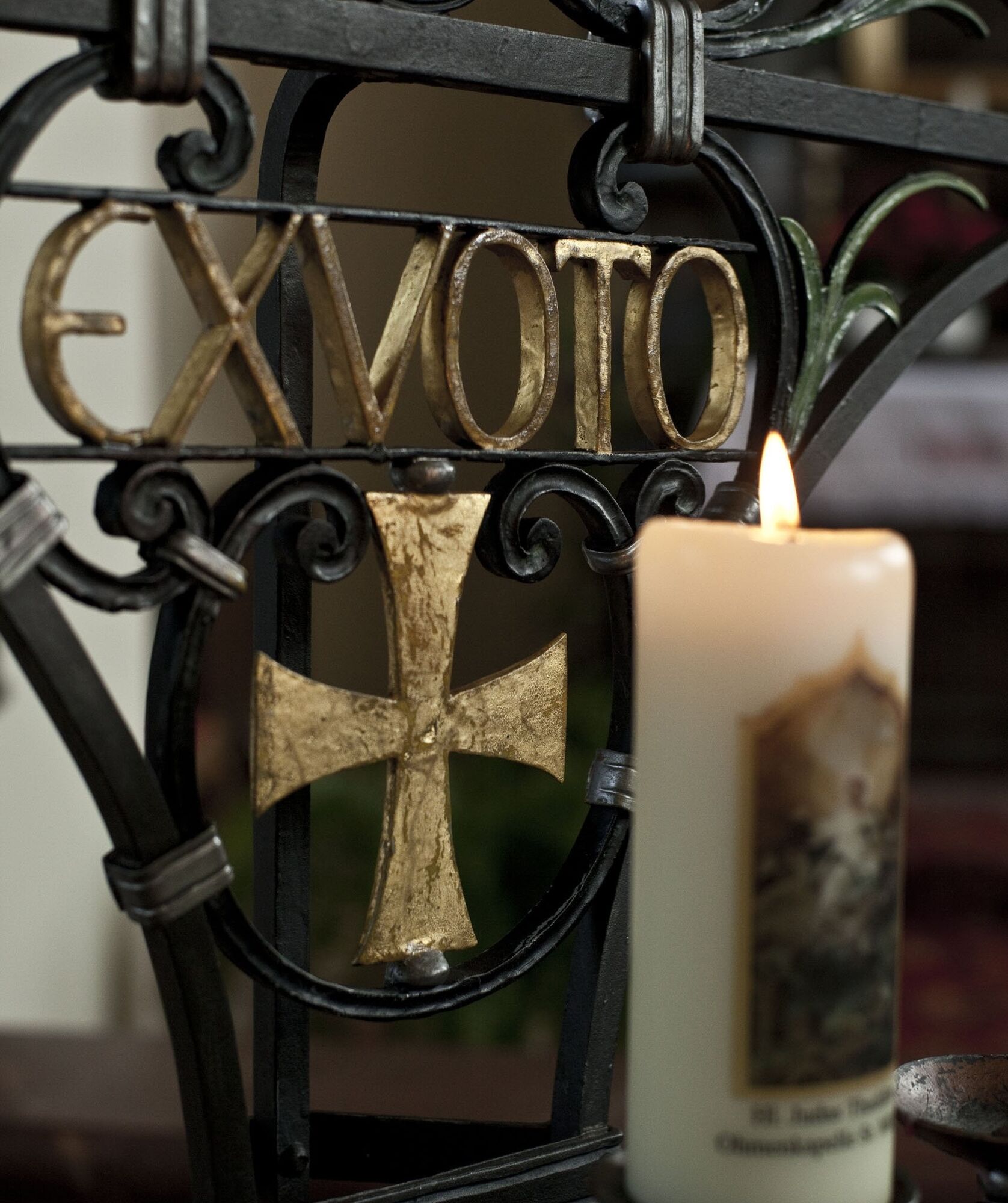
Get off at the bus stop before the junction with the B500 main road, cross the country road and walk a short distance to the information board. Before continuing on to the Way of St. James, you can make a short detour to the Wolfgang Chapel . Walk from the parking lot to the right and you will see the chapel in approx. 150 m. The current St. Wolfgang's Chapel dates back to 1757, the first mention of it dates back to 1491. Among other things, it contains figures by Matthias Faller and paintings by Simon Göber as well as a copy of the Sarner Baby Jesus.
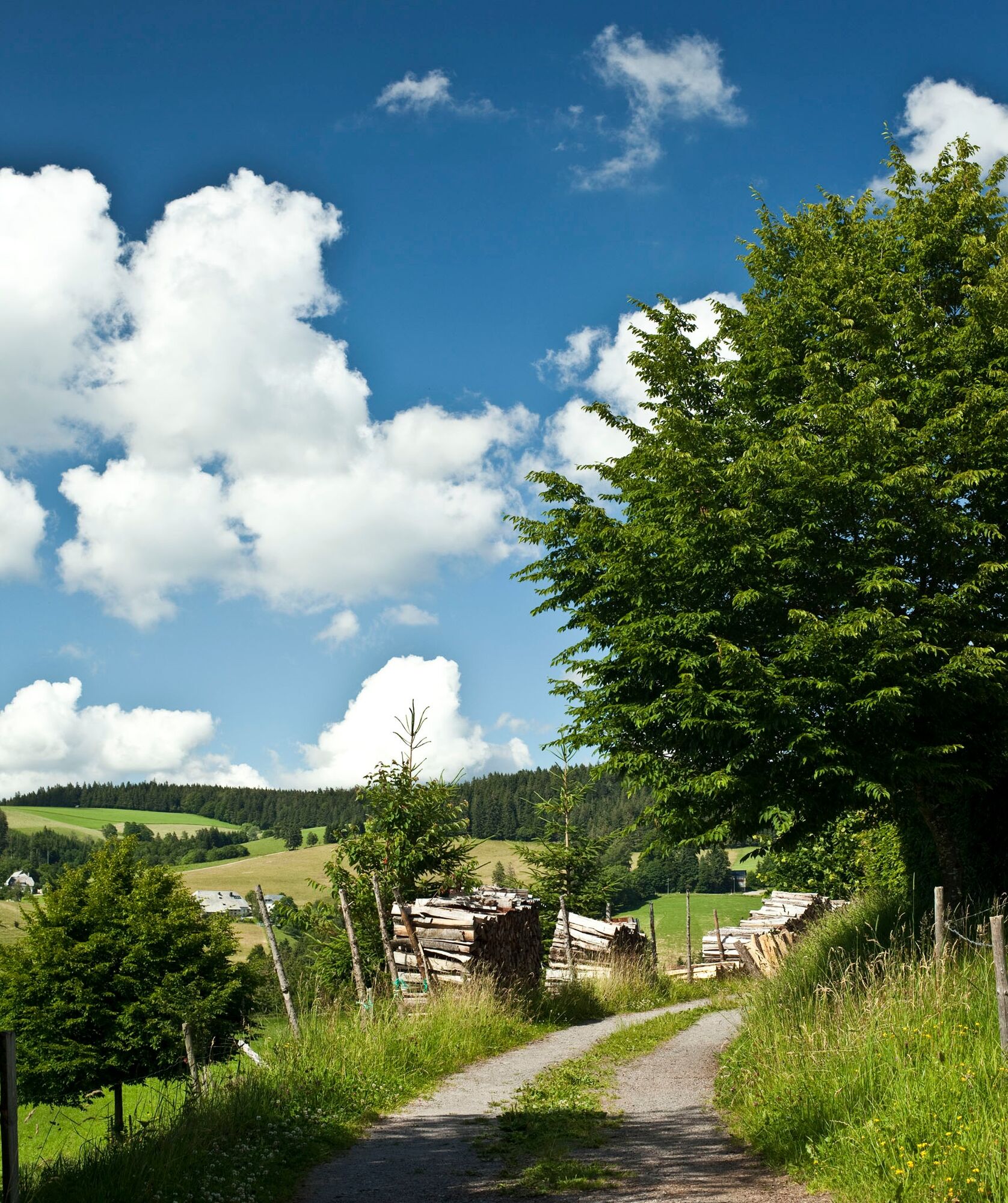
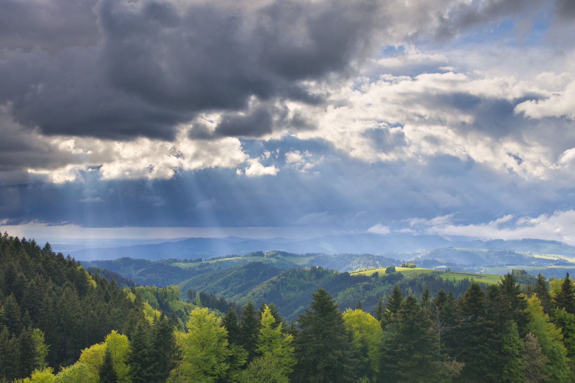
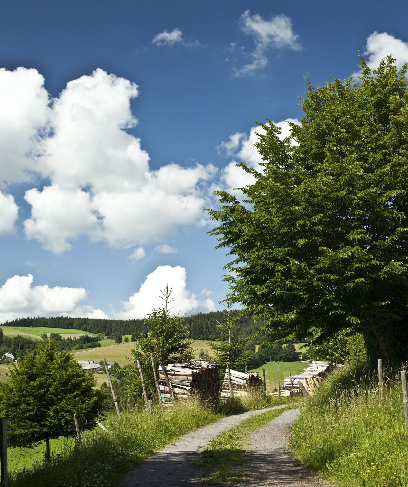
From the Wolfgangskapelle chapel, walk back to the parking lot. The route continues along the marked hiking trail to the Süßes Häusle signpost. You cross the B 500 and come to the Hohlen Graben. In 1704, during the War of the Spanish Succession, troops of the French king and the Emperor of Vienna fought at the Hohle Graben. A magnificent landscape opens up here on the western slope of the Black Forest. The view sweeps over the monastery villages of St. Märgen and St. Peter into the Dreisamtal valley to the Breisgau bay with Freiburg, across to the Rhine valley and, on a clear day, as far as the Vosges mountains. Now continue from the Hohlen Graben site, a wild and romantic meadow path along the edge of the forest close to the country road 128. You reach the Sonne Neuhäusle inn via idyllic paths and through short sections of forest. Right next to it is a pretty little chapel, which houses a gem of an altar by Matthias Faller. From Neuhäusle, after a short climb, you hike to Geigerhöhe. Along the way, you can discover old boundary stones that mark an area that once belonged to St. Peter's Monastery. It later became the independent municipality of Hinterstrass. In 1936, Hinterstrass was incorporated into St. Märgen and is now part of the Glashütte district.
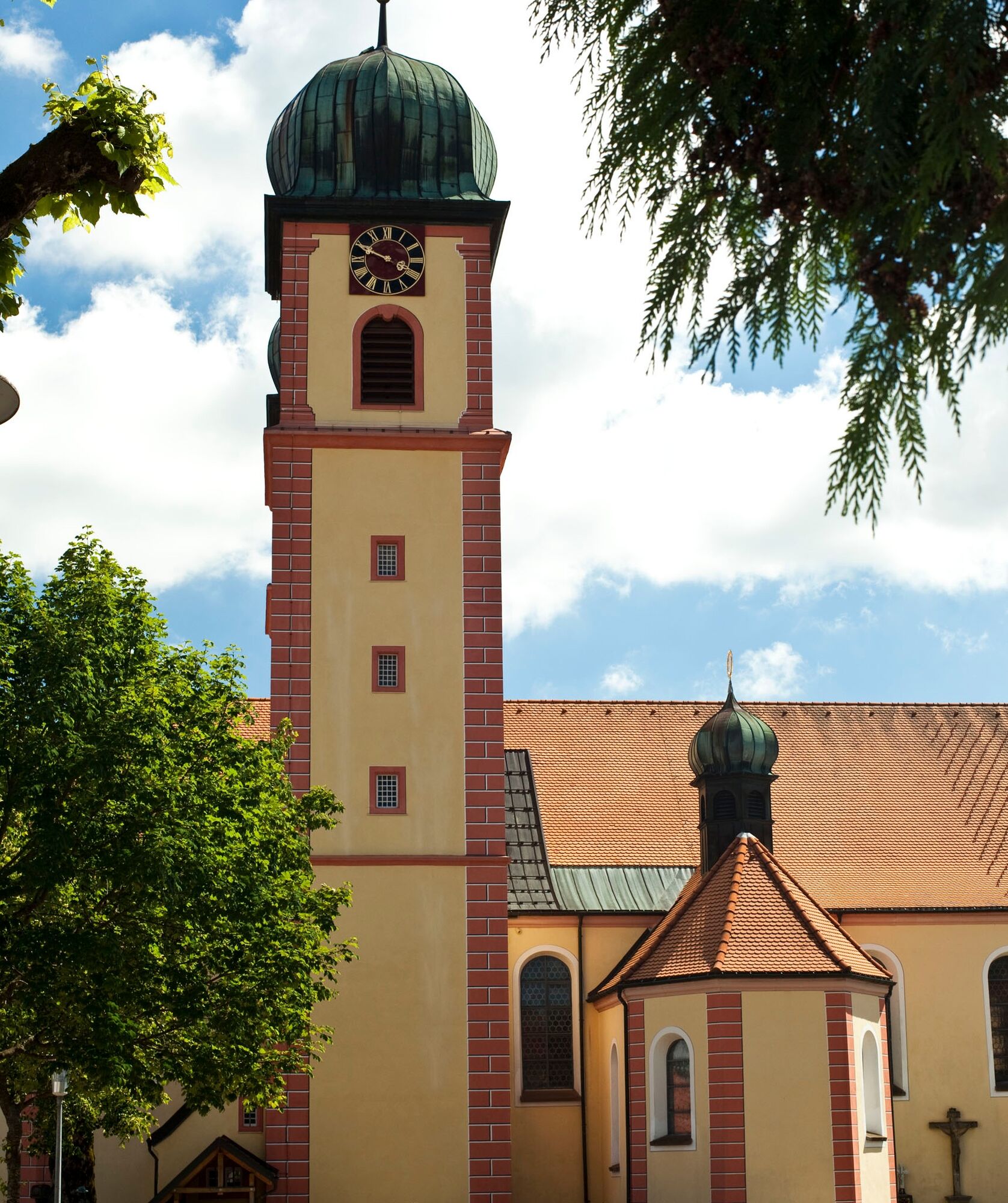
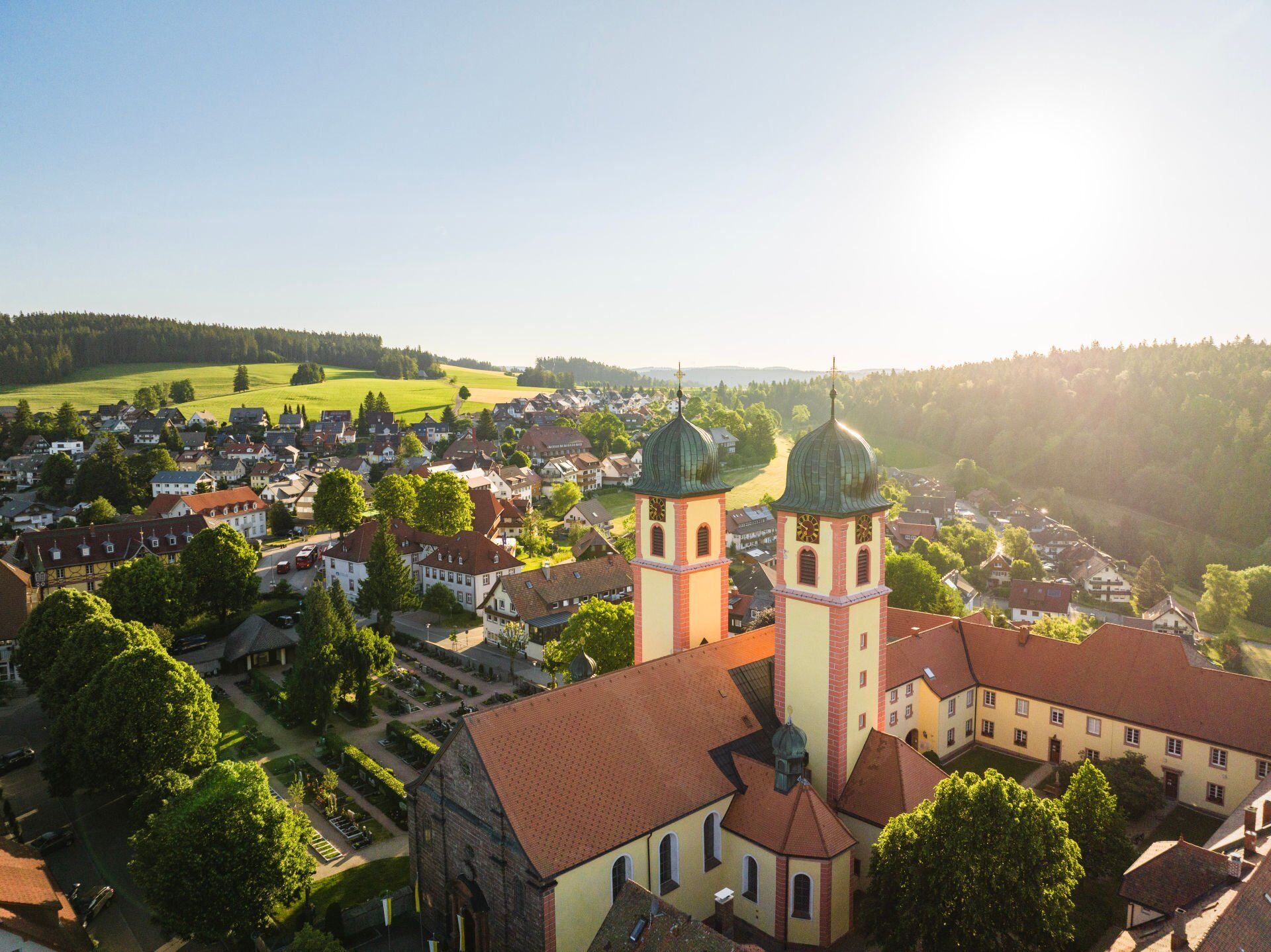
The path now leads downhill to the former Steinbach-Hirschen inn. After crossing the country road, the Pfisterwald area picks you up. At this point, the Way of St. James reaches the center of St. Märgen with its beautiful baroque monastery church with the high medieval image of grace as its centerpiece.
Another detour to the west takes you to the Ohmen Chapel. The name Ohmen is of Celtic origin. Although the Celts settled in the valleys, they built their places of worship on hills and mountain peaks.
The beautiful panoramic hike ends when you return to the village.
Sí
Sí
We recommend good shoes.
B31 from Freiburg in the direction of Neustadt
Take the B500 exit to Triberg/Furtwangen/Breitnau/Hinterzarten and follow the B500 to the Thurner hiking parking lot
From Freiburg: Höllentalbahn to Hinterzarten
From Donaueschingen: Train to Neustadt, then Höllentalbahn to Hinterzarten
Bus route 7216 in the direction of Kirchzarten station to St. Märgen
Exit: Thurner Gasthaus bus stop
St. Märgen town center
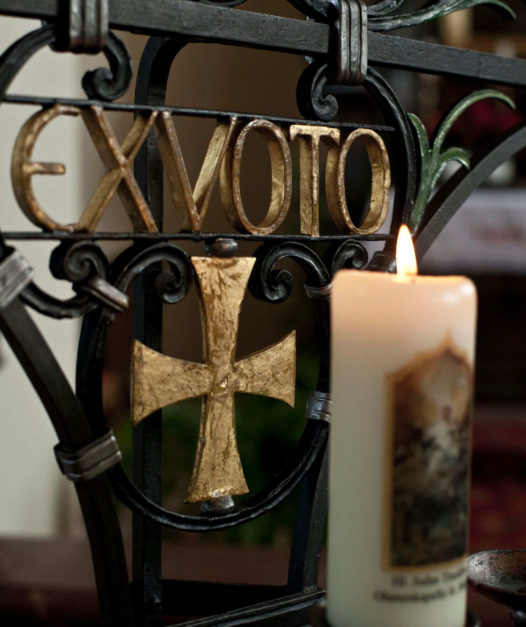
Neuhäusle Chapel (usually locked, but you can look in through the window in the door) with a small altar by Matthias Faller Neuhäusle Inn For the more experienced, a detour to the glassworks to the Rosary Chapel there is worthwhile In St. Märgen, finish with a walk to the Ohmen Chapel
Infórmate
Siempre en directo con más de 9.500 webcams. bergfex Como usuario Pro, ahora puede ver las webcams correspondientes a muchos tours en la app de tours desde. Esto le permite ver las condiciones actuales directamente.
Rutas populares en los alrededores
-
4,7
Heimatpfad Hochschwarzwald- Mühlen und Sägen in der Schlucht
medioSenderismo 7,42 km -
3,8
Seerundweg Titisee
luzSenderismo 5,84 km -
4,5
Durch den mystischen Bannwald zum Zweribach-Wasserfall
medioSenderismo 12,2 km -
4,1
Höhenklimaweg Titisee-Rundweg
medioSenderismo 7,44 km -
3,9
Von Titisee zum aussichtsreichen Hochfirst
medioSenderismo 10,6 km -
3,8
Genießerpfad - Säbelthomaweg
medioSendero temático 11,3 km -
4,2
Ravennaschlucht
Senderismo 6,90 km -
5,0
Rund um den Kandelgipfel mit tollen Ausblicken
medioSenderismo 7,46 km -
4,3
Mystischer Weg zum Mathisleweiher
medioSenderismo 8,94 km -
5,0
Alte Kapellen und Kirchen in der Ravennaschlucht
medioCamino de peregrinación 15,7 km
Senderismo y rastreo


No se pierda las ofertas y la inspiración para sus próximas vacaciones
Su dirección de correo electrónico se ha añadido a la lista de correo.





