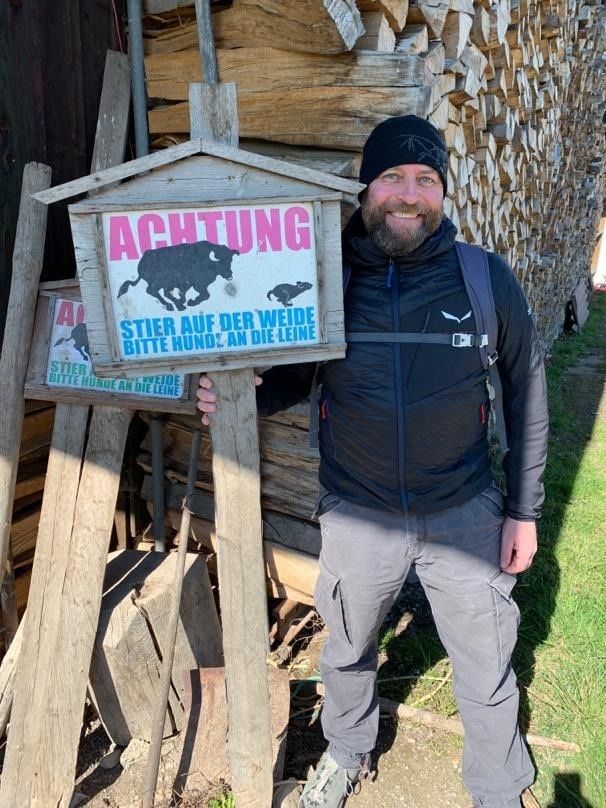
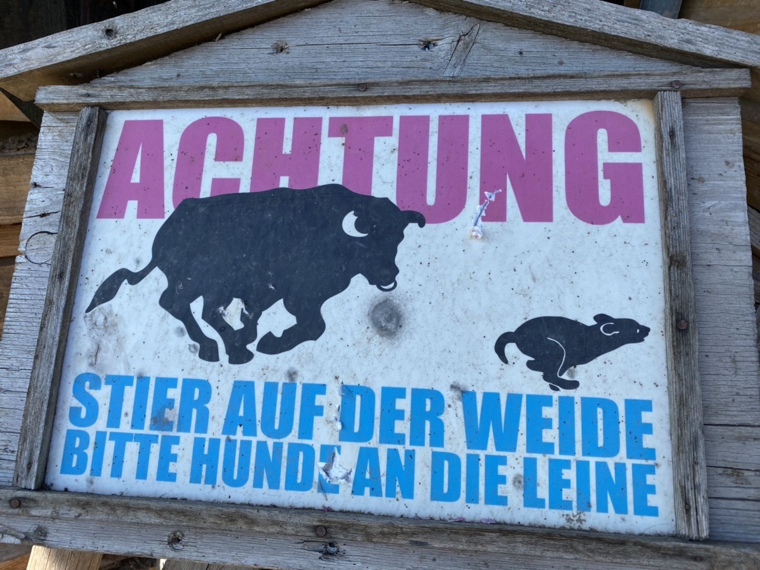
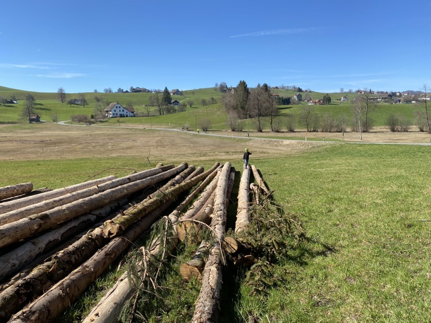
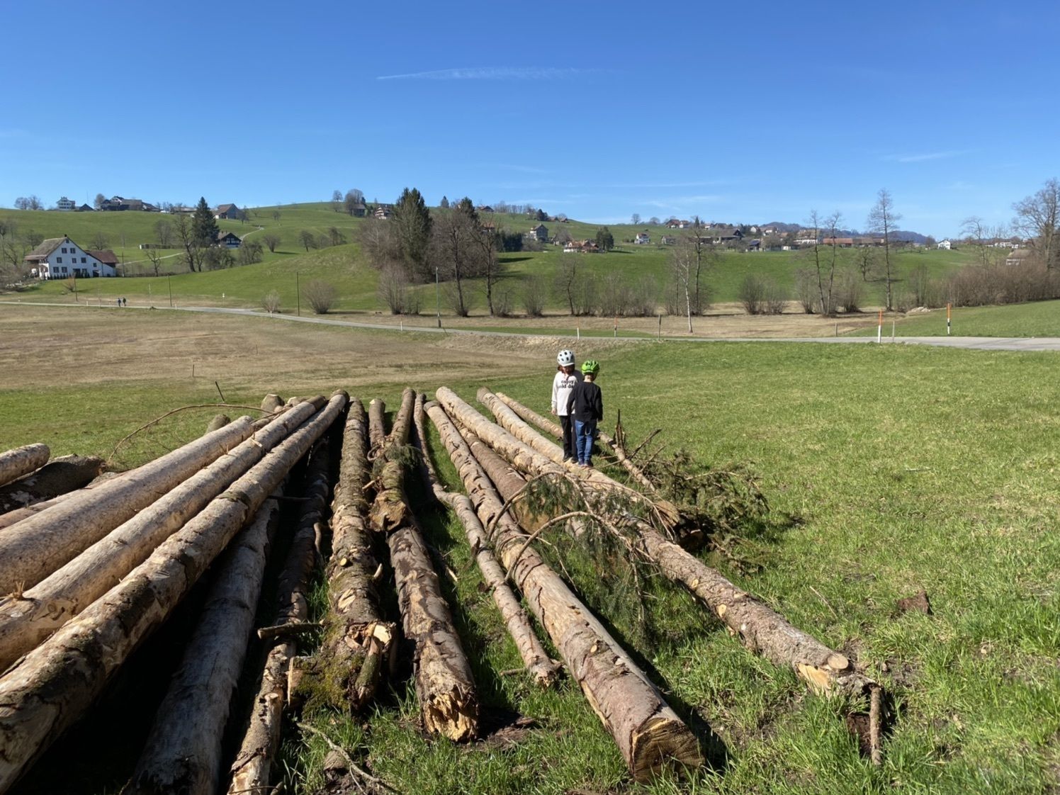
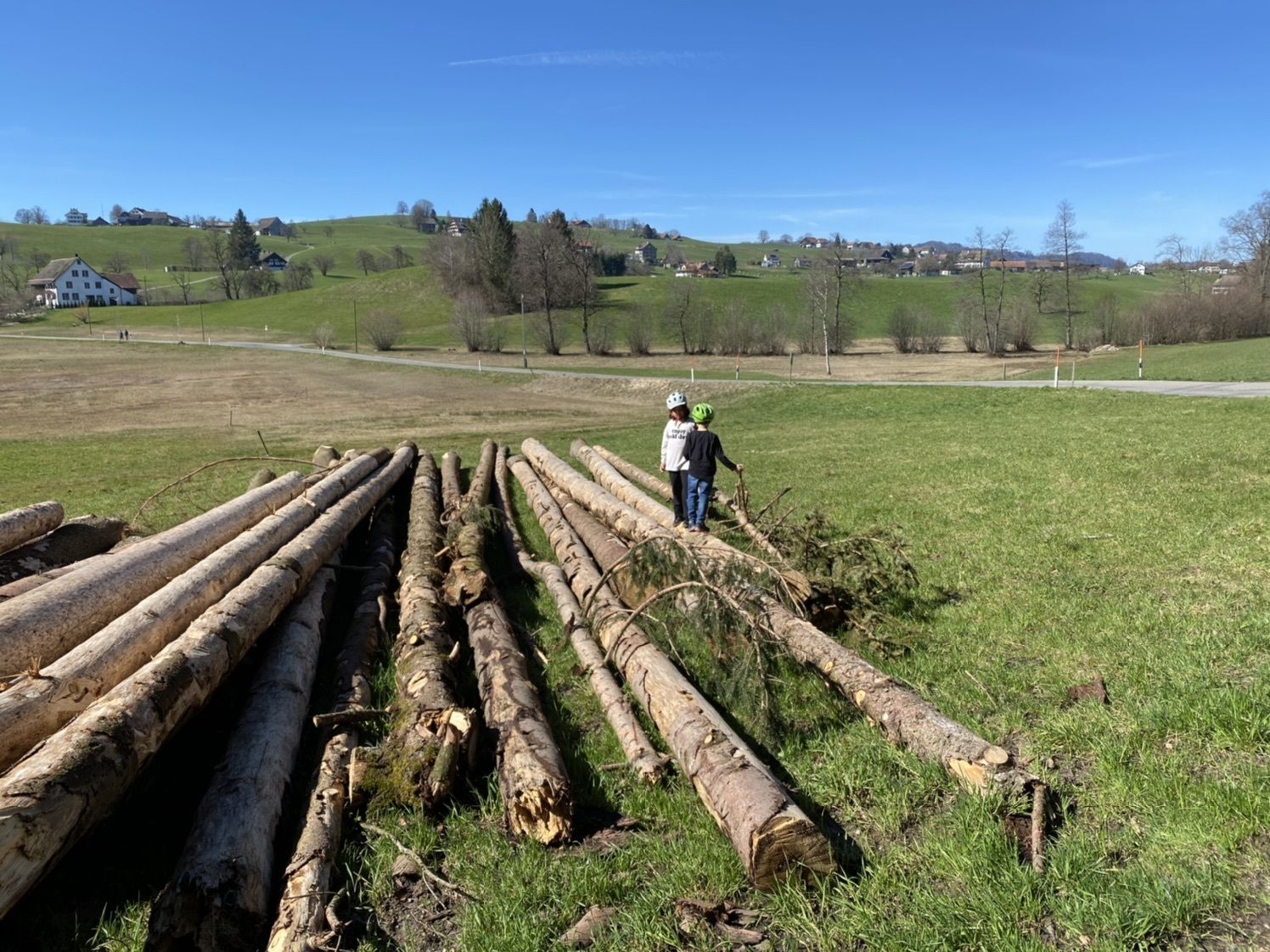
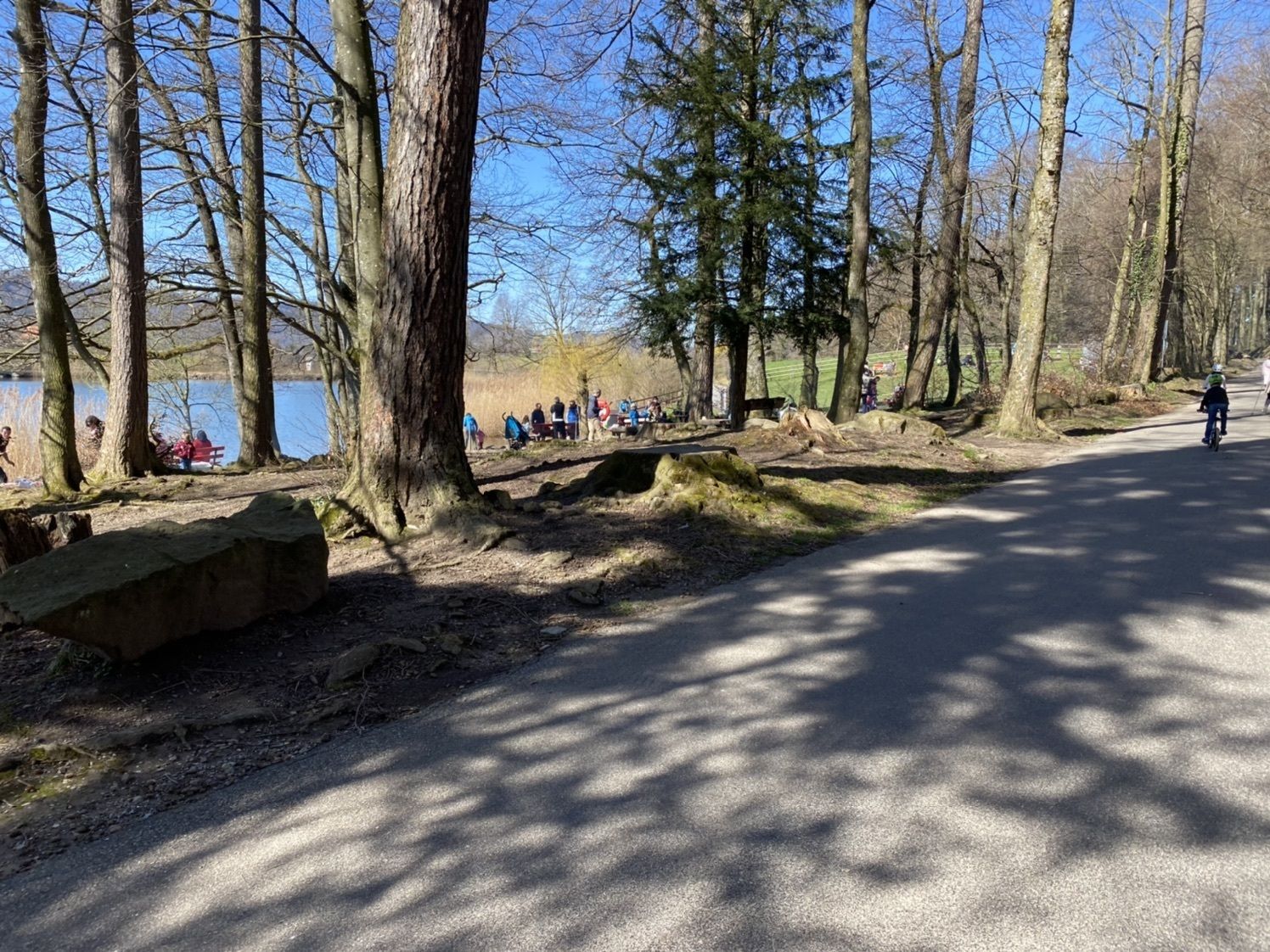
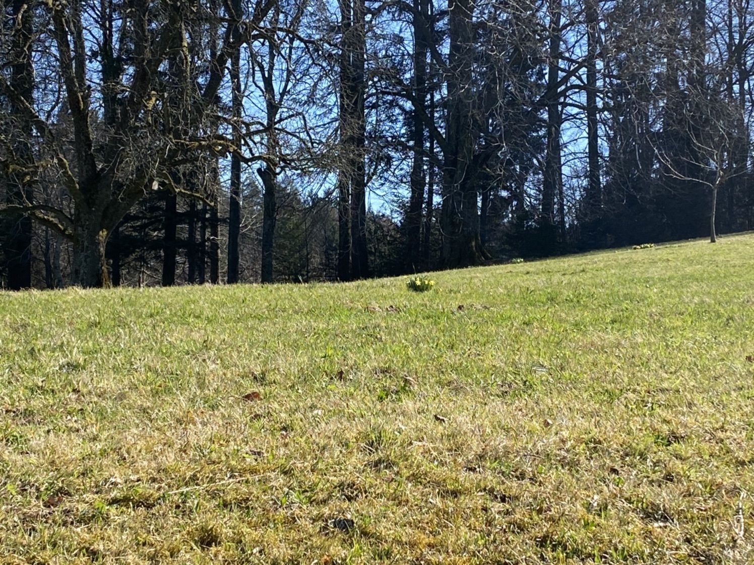
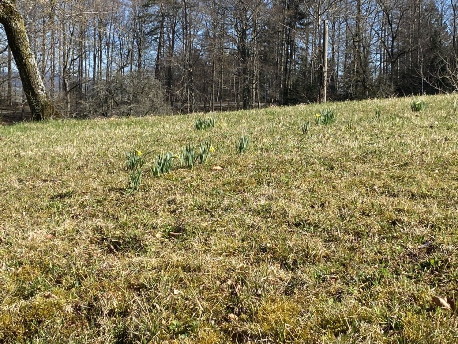
Horgenberg
luz
Navegue por
Navegue por
Consigue este tour en tu móvil
Horgenberg
luz
Senderismo
4,72
km
Escanee el código QR e inicie la navegación en la aplicación bergfex

Senderismo y rastreo


Horgenberg
luz
Distancia
4,72
km
Duración
01:07
h
Ascenso
63
m
Nivel del mar
641 -
682
m
Descarga de pistas
Horgenberg
luz
Senderismo
4,72
km
Ruta

Error
Se ha producido un error. Por favor, inténtelo de nuevo.


Valoraciones
5
(0)
4
(0)
3
(0)
2
(1)
1
(0)
Rutas populares en los alrededores
-
4,7
Rundweg Hirzelhöhi - Horgener Bergweiher
luzSenderismo 8,82 km -
5,0
190925 Uetliberg Felsenegg 5,9 km + 255 m - 313 m
luzSenderismo 5,81 km -
Zürich-Uetliberg-Albispass-Langenberg-Sihlau
medioSenderismo 21,4 km -
5,0
Zugerberg - via Blasenberg - Rundwanderung
luzSenderismo 9,44 km -
4,0
Drei Kleinseen-Wanderung
luzSenderismo 8,58 km -
3,0
Türlersee Albis Rundweg
luzSenderismo 9,05 km -
Pfannenstiel und Meilemer Tobel
luzSenderismo 16,8 km -
Rund um den Zürichsee
luzSenderismo 98,9 km -
JOG Koller 5.5 km
luzRunning 5,59 km -
Zumikon via Guldenen nach Egg
luzSenderismo 11,3 km

Senderismo y rastreo

Más de 550.000 sugerencias de excursiones, mapas detallados y un intuitivo planificador de rutas hacen de esta aplicación una herramienta imprescindible para todos los amantes de la naturaleza.

No se pierda las ofertas y la inspiración para sus próximas vacaciones
Suscribirse al boletín de noticias
Error
Se ha producido un error. Por favor, inténtelo de nuevo.
Gracias por inscribirse
Su dirección de correo electrónico se ha añadido a la lista de correo.
Viajes por Europa
Austria
Suiza
Alemania
Italia
Eslovenia
Francia
Países Bajos
Belgium
Polonia
Liechtenstein
República Checa
Slovakia
España
Croacia
Bosnia y Herzegovina
Luxemburgo
Andorra
Portugal
Iceland
United Kingdom
Ireland
Greece
Albania
North Macedonia
Malta
Norway
Montenegro
Moldova
Kosovo
Hungary
San Marino
Romania
Estonia
Latvia
Belarus
Cyprus
Lithuania
Serbia
Bulgaria
Monaco
Denmark
Sweden
Finland