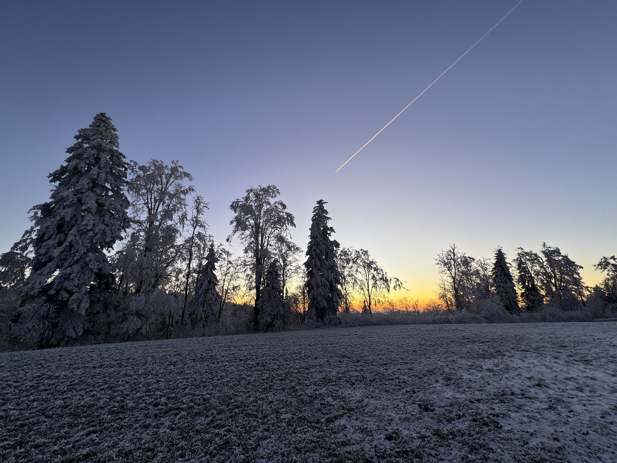
Elgg - Höchegg - Alpwirtschaft Schnurberg - Turbenthal
medio
Consigue este tour en tu móvil
Elgg - Höchegg - Alpwirtschaft Schnurberg - Turbenthal
medio
Senderismo
8,20
km
Escanee el código QR e inicie la navegación en la aplicación bergfex

Senderismo y rastreo


Elgg - Höchegg - Alpwirtschaft Schnurberg - Turbenthal
medio
Distancia
8,20
km
Duración
02:08
h
Ascenso
161
m
Nivel del mar
723 -
820
m
Descarga de pistas
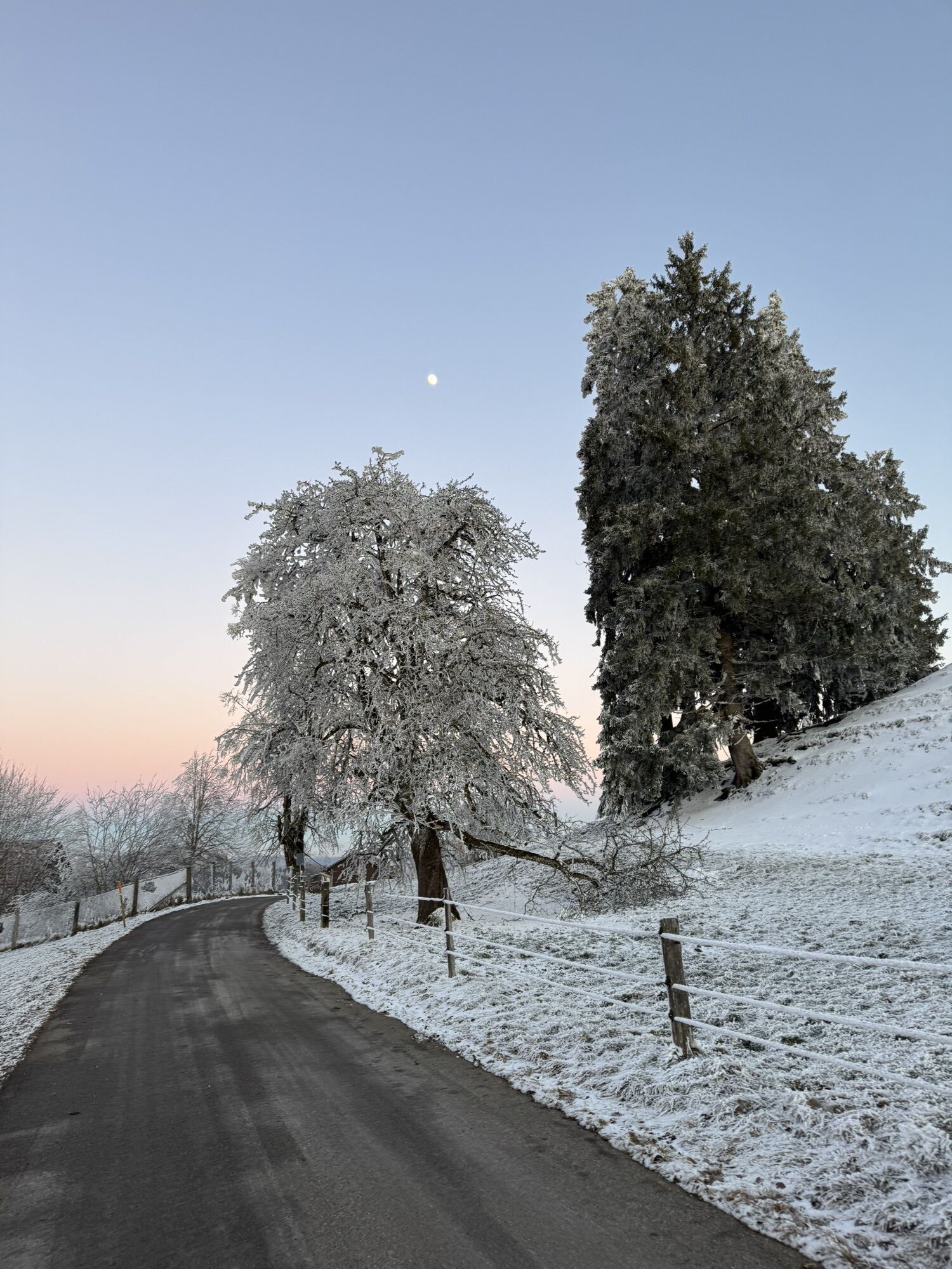
Elgg - Höchegg - Alpwirtschaft Schnurberg - Turbenthal
medio
Senderismo
8,20
km
Ruta
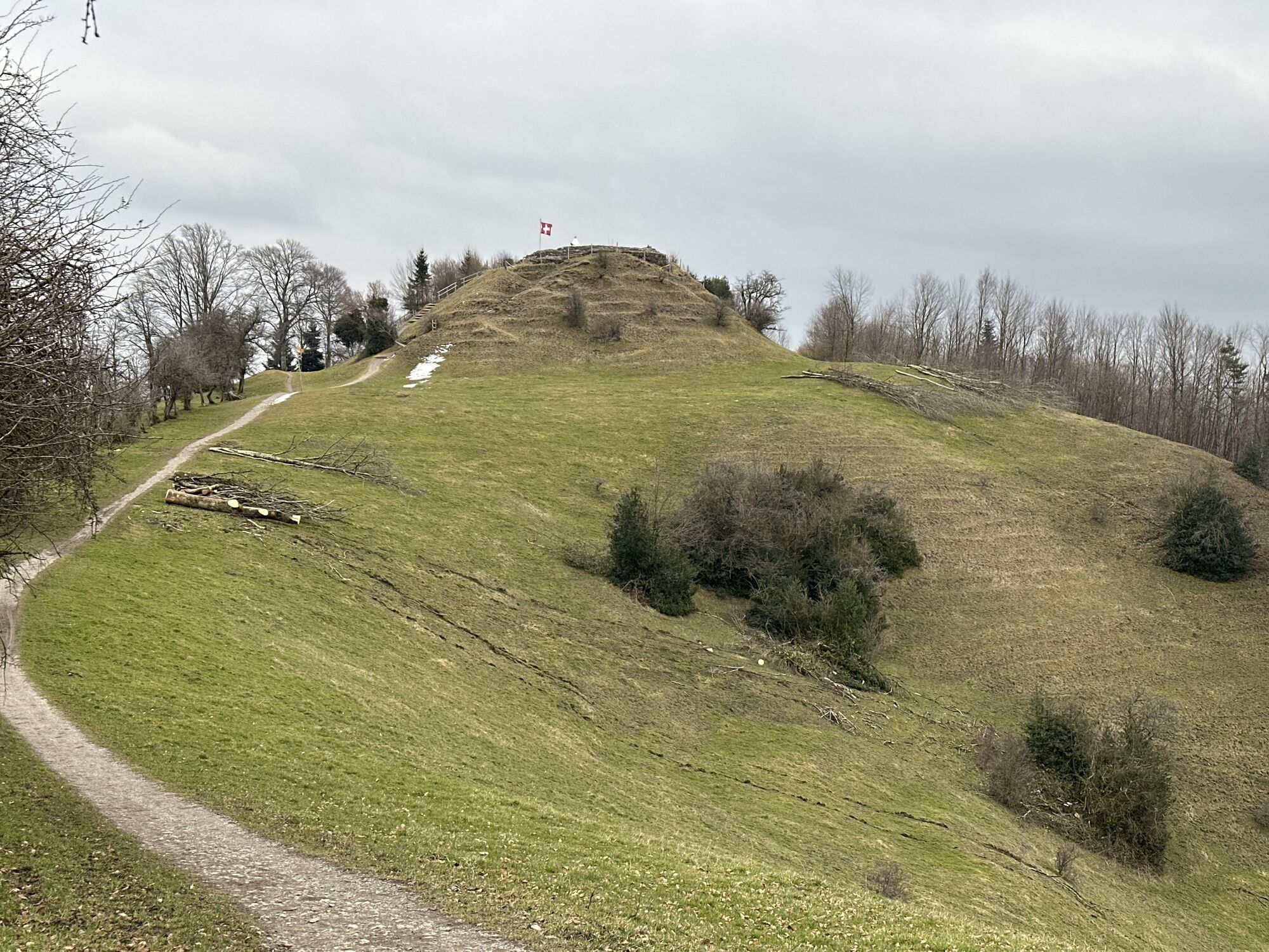
Höchegg
(843 m)
Cumbre
1,8 km
Alpwirtschaft Schnurrberg
(723 m)
Restaurante
4,1 km
Ruta
Elgg - Höchegg - Alpwirtschaft Schnurberg - Turbenthal
medio
Senderismo
8,20
km
Höchegg
(843 m)
Cumbre
1,8 km
Alpwirtschaft Schnurrberg
(723 m)
Restaurante
4,1 km
Autor
Proporcionado por Bergfex Tour Generator
Compartir gira
Elgg - Höchegg - Alpwirtschaft Schnurberg - Turbenthal
medio
Senderismo
8,20
km
Error
Se ha producido un error. Por favor, inténtelo de nuevo.
Aún no hay opiniones
Rutas populares en los alrededores
-
3,2
Ruta de invierno en Hulftegg
luzSenderismo de invierno 7,39 km -
4,5
Hulftenegg - Hörndli
luzSenderismo de invierno 6,98 km -
3,0
Sennhof (Töss) - Kyburg - Weisslingen Rundwanderung
medioSenderismo 13,0 km -
4,3
Steg-Schnebelhorn
medioSenderismo 17,9 km -
4,7
Caminata en Hulftegg
luzSenderismo 7,42 km -
4,3
Bauma - Chlihörnli - Hörnli - Steg
medioSenderismo 10,3 km -
5,0
Gratwanderung– Hagheerenloch Runde von Sternenberg
medioSenderismo 9,96 km -
4,5
Steg - Berggasthaus Hörnli - Hörnli - HörnliHaus
medioSenderismo 7,15 km -
Rundtour Hittnau zum Rosinli
medioSenderismo 8,66 km -
Kemptnertobel
luzSenderismo 4,98 km
Senderismo y rastreo

Más de 550.000 sugerencias de excursiones, mapas detallados y un intuitivo planificador de rutas hacen de esta aplicación una herramienta imprescindible para todos los amantes de la naturaleza.

No se pierda las ofertas y la inspiración para sus próximas vacaciones
Suscribirse al boletín de noticias
Error
Se ha producido un error. Por favor, inténtelo de nuevo.
Gracias por inscribirse
Su dirección de correo electrónico se ha añadido a la lista de correo.
Viajes por Europa
Austria
Suiza
Alemania
Italia
Eslovenia
Francia
Países Bajos
Belgium
Polonia
Liechtenstein
República Checa
Slovakia
España
Croacia
Bosnia y Herzegovina
Luxemburgo
Andorra
Portugal
Iceland
United Kingdom
Ireland
Greece
Albania
North Macedonia
Malta
Norway
Montenegro
Moldova
Kosovo
Hungary
San Marino
Romania
Estonia
Latvia
Belarus
Cyprus
Lithuania
Serbia
Bulgaria
Monaco
Denmark
Sweden
Finland