© Heidadorf Visperterminen Tourismus

© Heidadorf Visperterminen Tourismus

© Heidadorf Visperterminen Tourismus

- Breve descripción
-
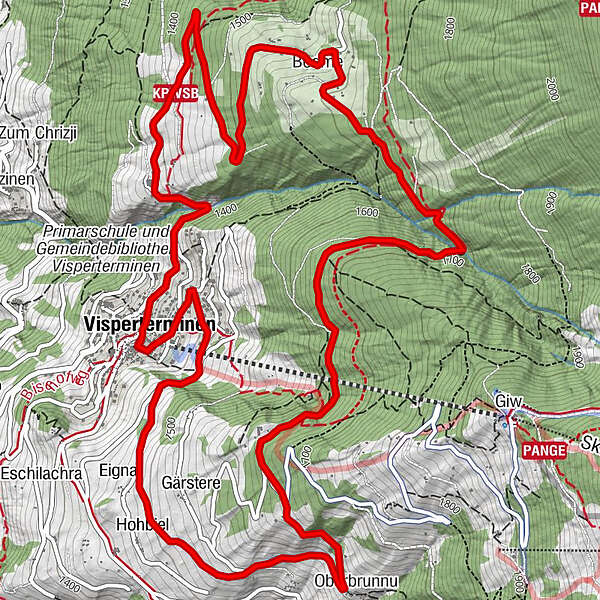
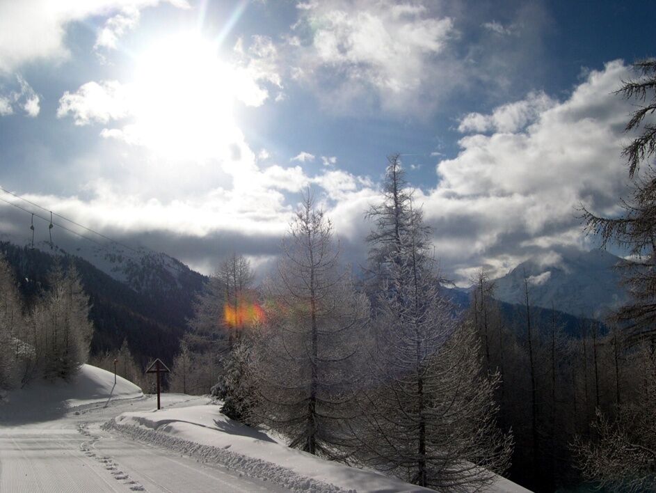
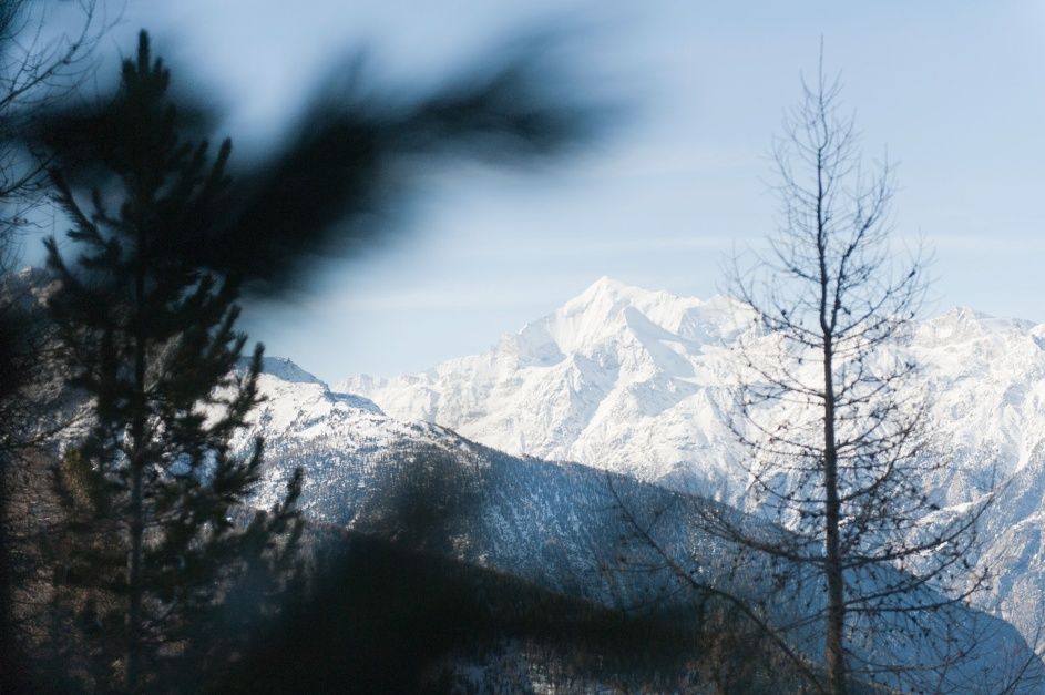
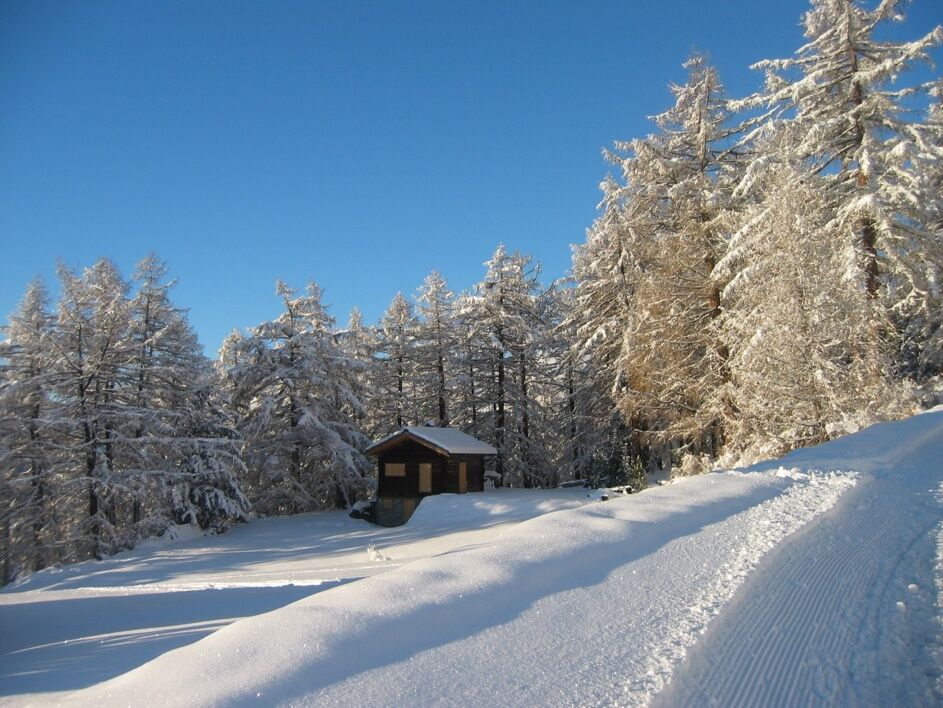
The Tärbiner winter hiking trail does a circuit around the village of Visperterminen.
- Dificultad
-
medio
- Valoración
-
- Ruta
-
Restaurant Spycher0,1 kmKapelle: Verkündigung un Maria0,1 kmKapelle: Maria besuch Elisabeth0,4 kmEgga2,2 kmUnnerbrunnu2,6 kmOberbrunnu2,6 kmBodme6,5 kmRestaurant Spycher9,8 kmVisperterminen (1.391 m)9,9 kmRestaurant Heida9,9 km
- La mejor temporada
-
agosepoctnovdicenefebmarabrmayjunjul
- Punto álgido
- 1.680 m
- Punto final
-
Visperterminen
- Perfil alto
-
 © outdooractive.com
- Autor
-
La gira Tärbiner winter trail es utilizado por outdooractive.com proporcionado.
GPS Downloads


Información general
Punto de avituallamiento
Cultural/Histórico
Vistas panorámicas
Más circuitos por las regiones
-
Oberwallis
303
-
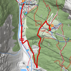
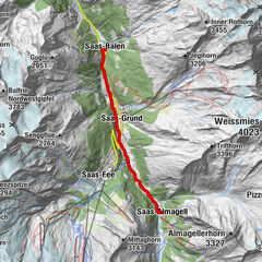
Rund um Visp
144
-
Visperterminen
23