





Grand Bisse de Lens : Section Icogne - La Lienne
Nivel de dificultad: T2
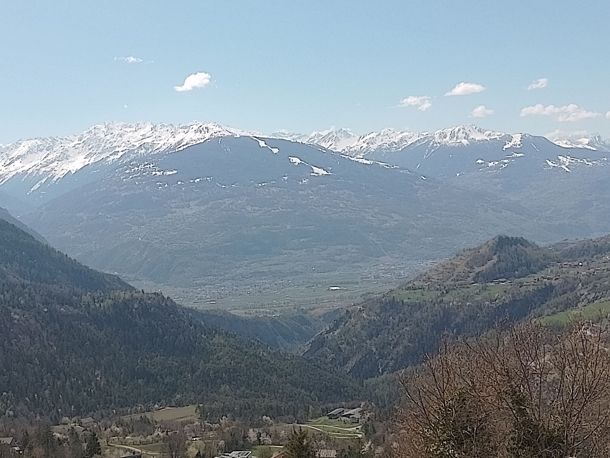
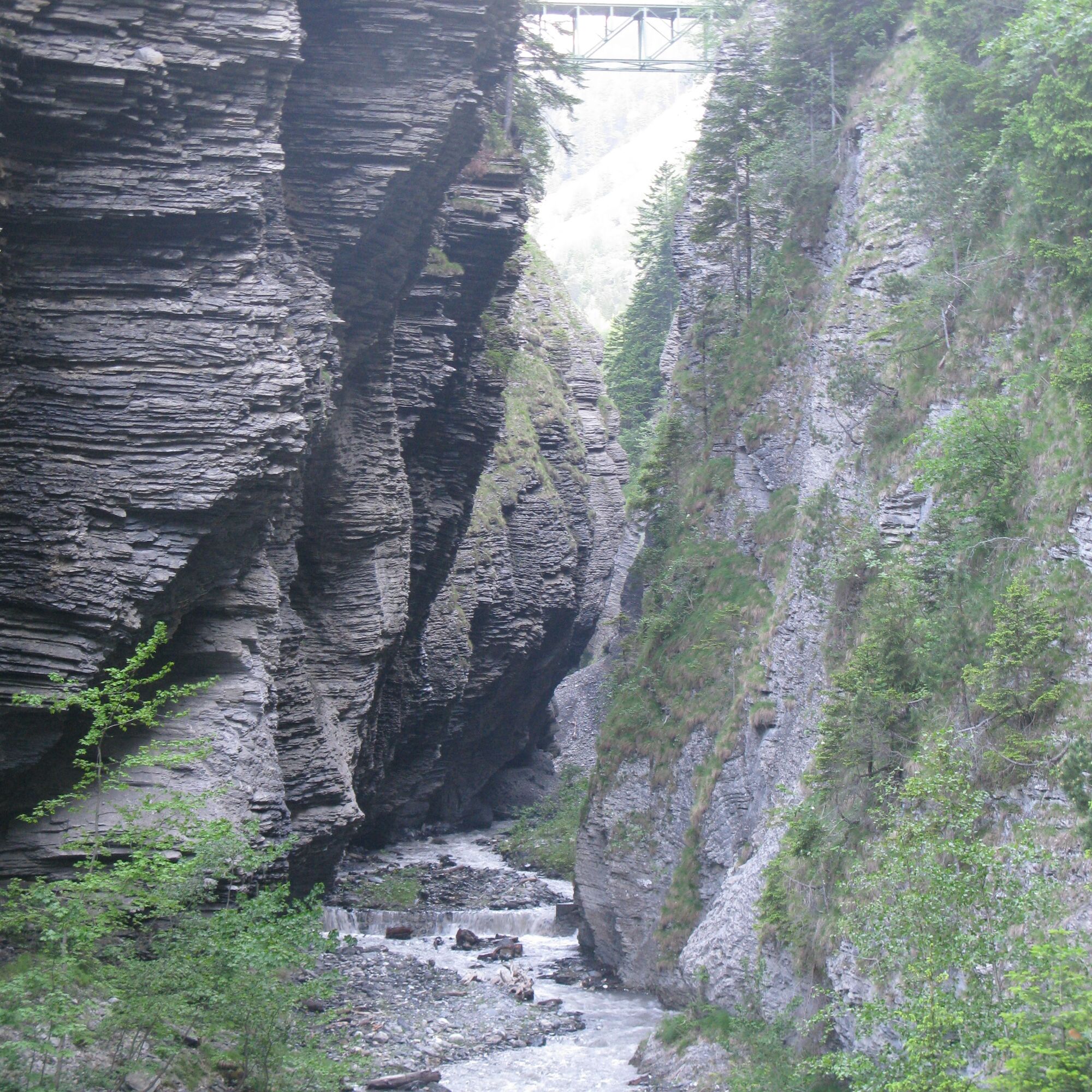
This loop follows the lesser-known route of the Grand Bisse de Lens in the Gorges de la Lienne, and returns to Crans-Montana or Icogne via the Chemin de la Montagne, below the Bisse du Ro. You'll walk...
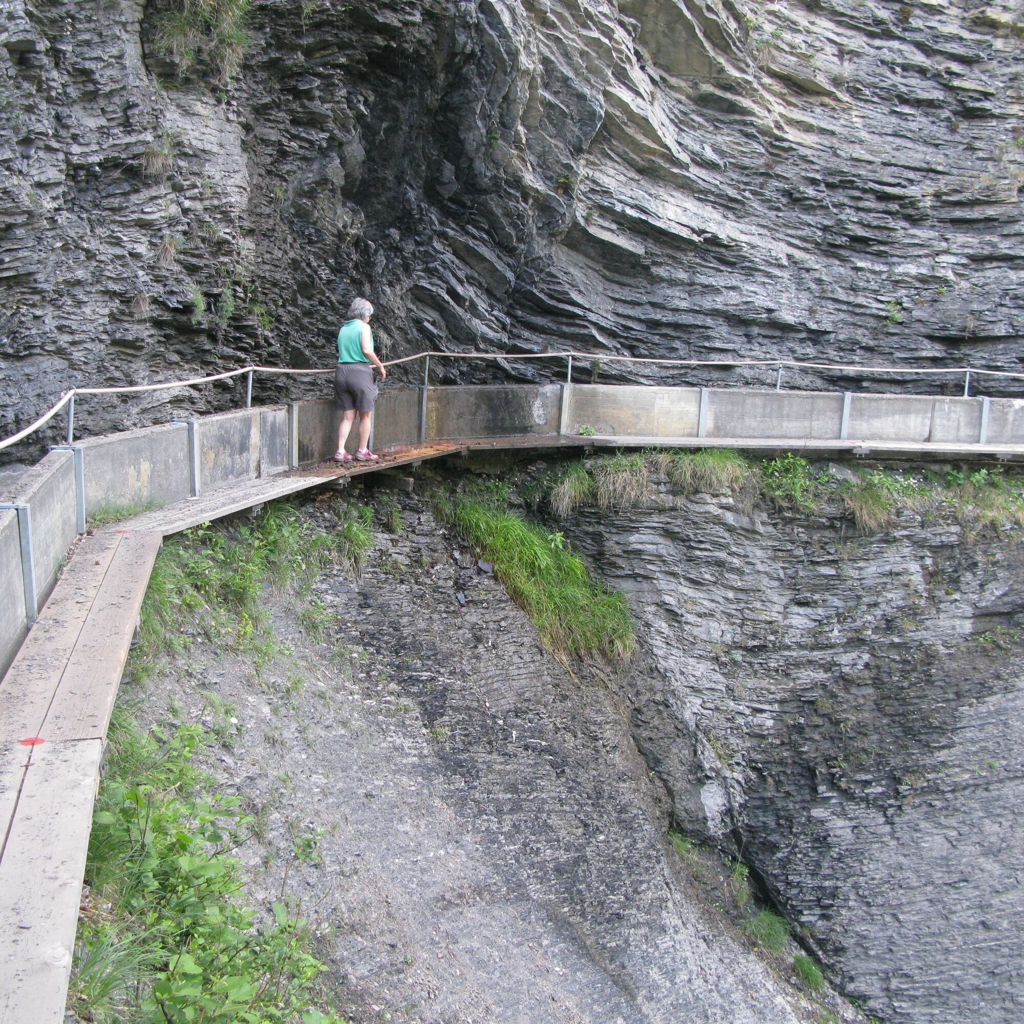
This loop follows the lesser-known route of the Grand Bisse de Lens in the Gorges de la Lienne, and returns to Crans-Montana or Icogne via the Chemin de la Montagne, below the Bisse du Ro. You'll walk along the path of the structure built in the 15th century to bring water from the Lienne up the hillside for irrigation. This section of the bisse has recently been restored to full flow.

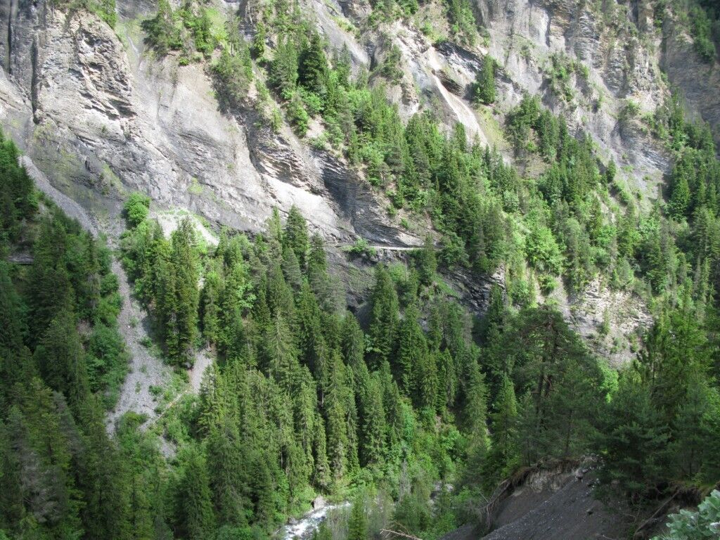

Icogne, Village - Chemin du Moulin - Chemin du Grand Bisse - Forêt des Tsans - Pra du Taillour - Route du Pont du Diable - Chemin de Tsantoré - Route des Vernasses - Icogne, Village
Sí
Weather conditions change rapidly at altitude, so be sure to bring your own clothes.
Follow the marked trails. Please respect fauna, flora and nature.
Please check weather conditions before setting off.
Crans-Montana Tourisme & Congrès accepts no liability for accidents.
You will pass through the villages of Champlan/Grimisuat/Botyre (Ayent). In the village of Botyre/Ayent, follow the signs for Crans-Montana and follow the road for about 5 km to Icogne.
Journey time from the freeway exit is around 20 minutes.
The nearest bus stop to the start of the hike is: Icogne, Village
Free outdoor Cachiblio parking
T2
For further information: www.crans-montana.ch/rando
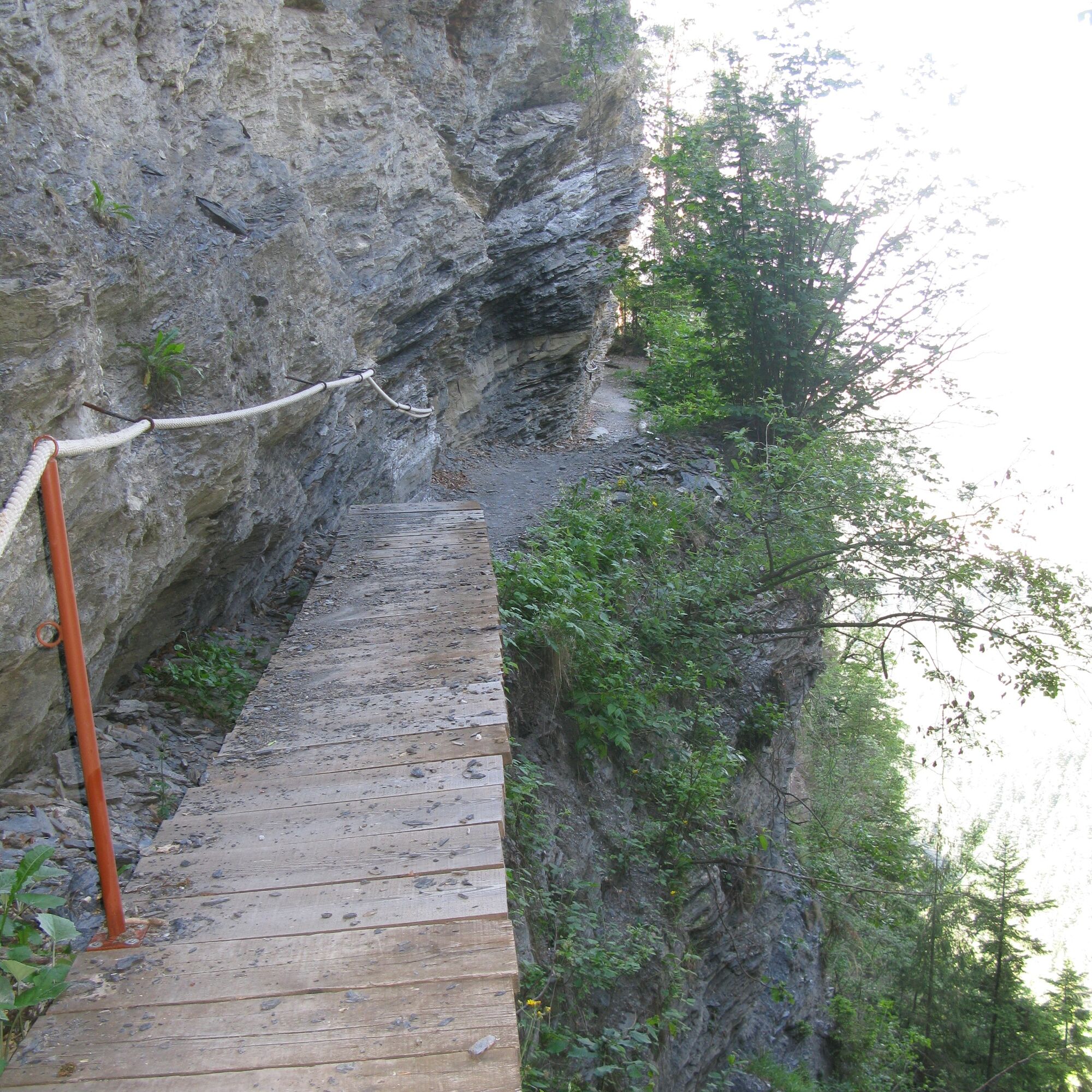
It's a Valais bisse, and like most of them, it's renowned for its dizzying rock face crossings. If you're in any doubt, don't hesitate to retrace your steps rather than leave it with mixed memories.
Infórmate
Siempre en directo con más de 9.500 webcams. bergfex Como usuario Pro, ahora puede ver las webcams correspondientes a muchos tours en la app de tours desde. Esto le permite ver las condiciones actuales directamente.
Rutas populares en los alrededores
-
5,0
Bisse du Ro
luzSenderismo 11,2 km -
4,2
Grand Bisse de Lens
luzSenderismo 8,73 km -
4,7
Leukerbad - Gemmipass - Lämmerenhütte
medioSenderismo 9,49 km -
4,0
Gemmipass - Lämmerenhütte - Rote Totz Lücke - Daubensee - Gemmipass
medioSenderismo 13,7 km -
4,0
Tripon - Brac – Ancien Bisse du Torrent Neuf – St. Marguerite – Torrent Neuf – Prafirmin - St. Germain
luzSenderismo 12,9 km -
4,0
Wolfstritt
Senderismo 7,02 km -
5,0
Klettersteig Daubenhorn
pesadoVía ferrata 5,34 km -
5,0
Bisse du Tsittoret en familia
luzSenderismo 7,14 km -
4,0
Vía ferrata Belvédère
medioVía ferrata 1,81 km -
4,0
Alrededor del embalse de Tseuzier
luzSenderismo 4,58 km
Senderismo y rastreo


No se pierda las ofertas y la inspiración para sus próximas vacaciones
Su dirección de correo electrónico se ha añadido a la lista de correo.





