


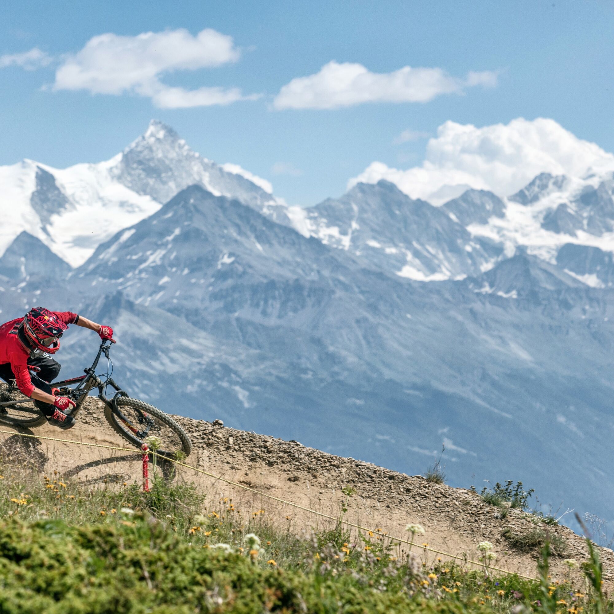
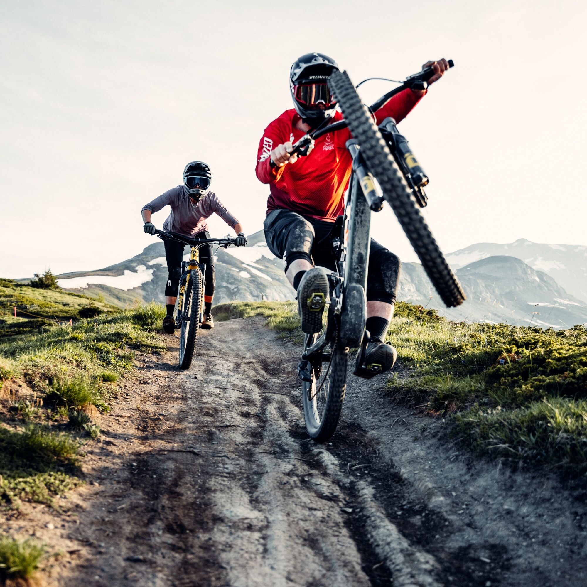
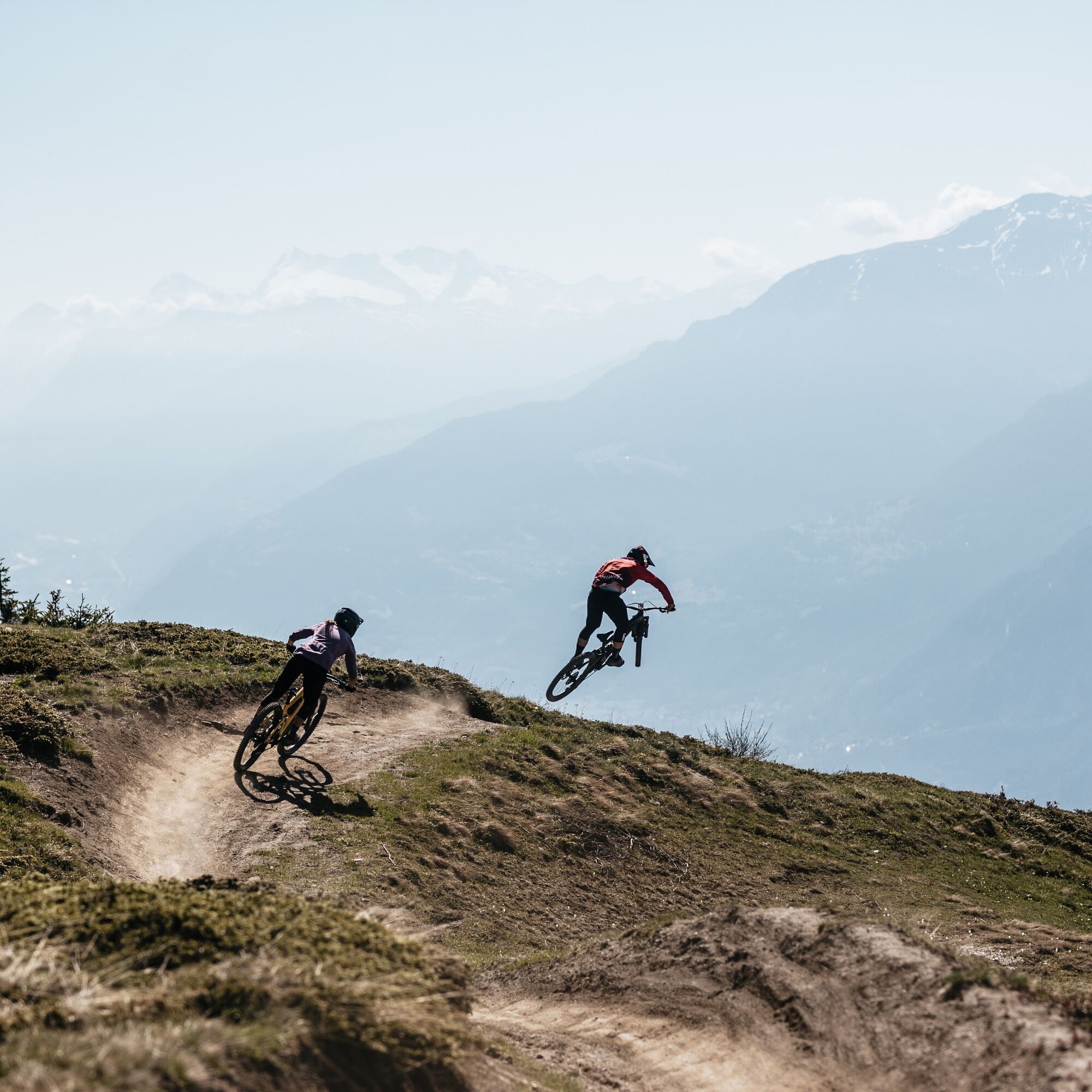
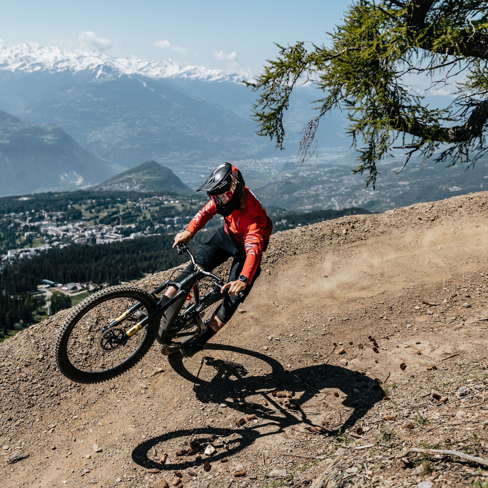
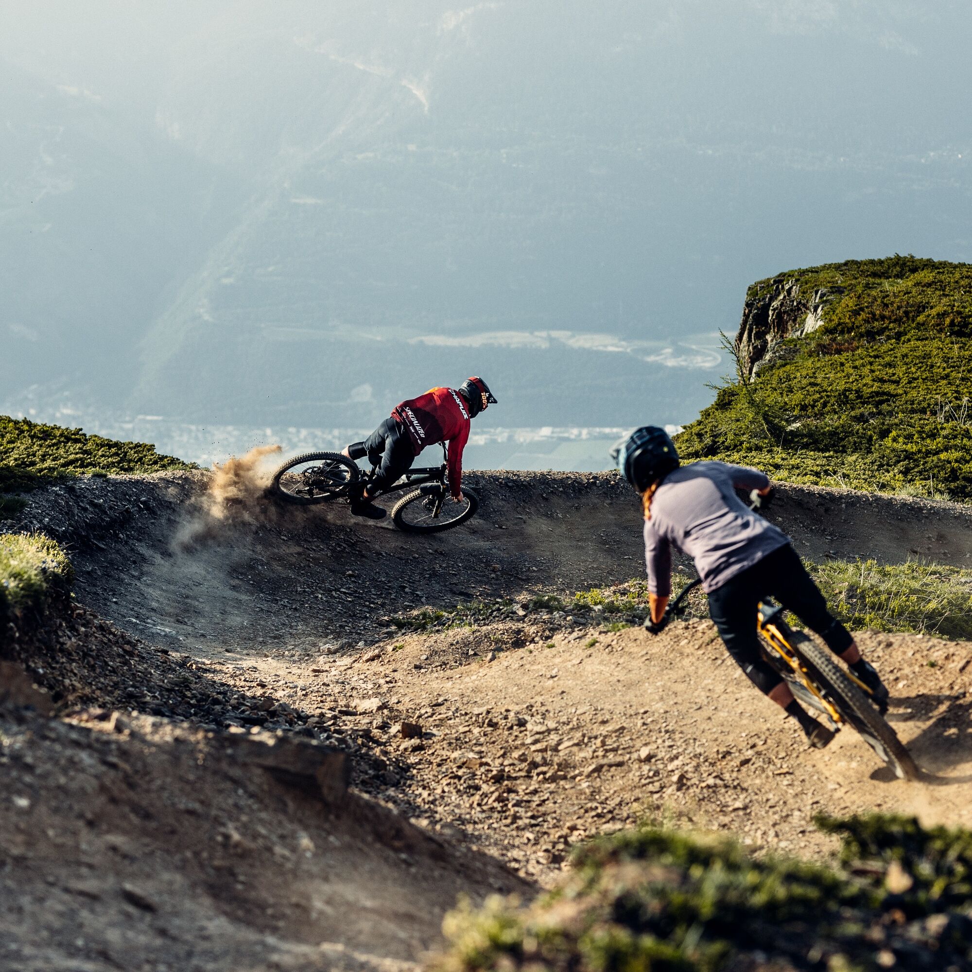
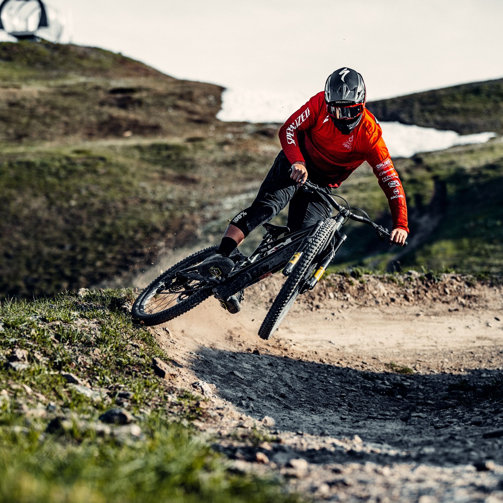
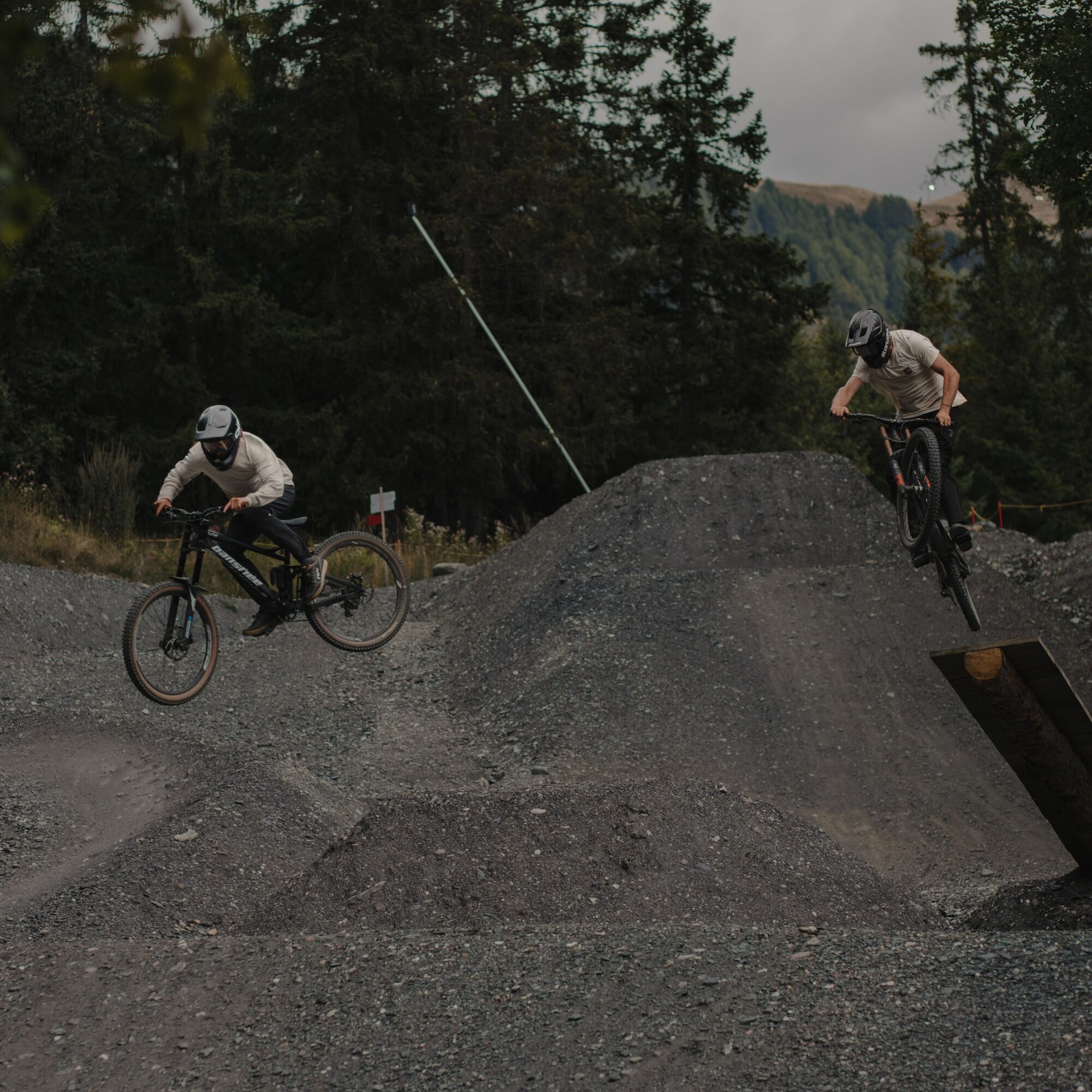
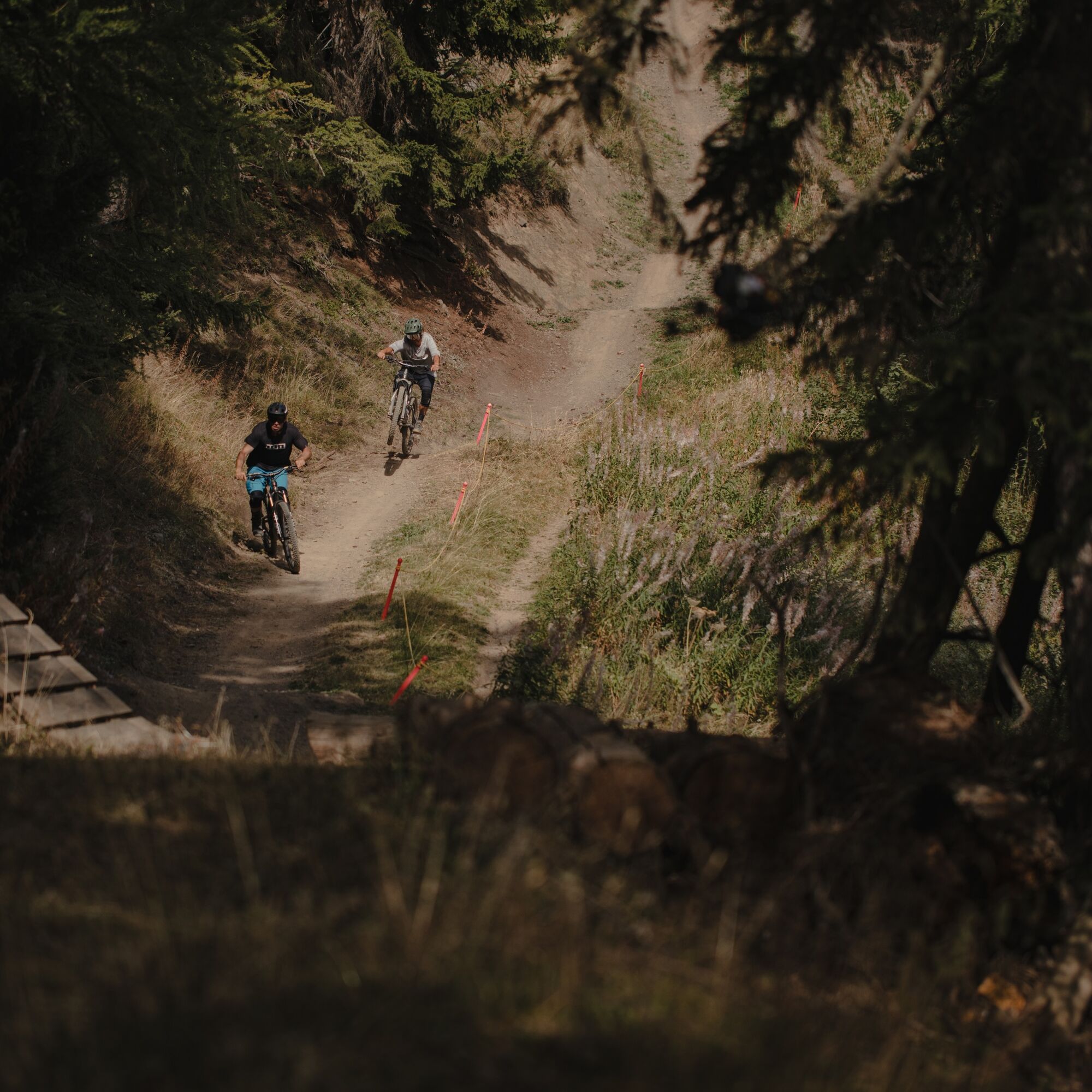
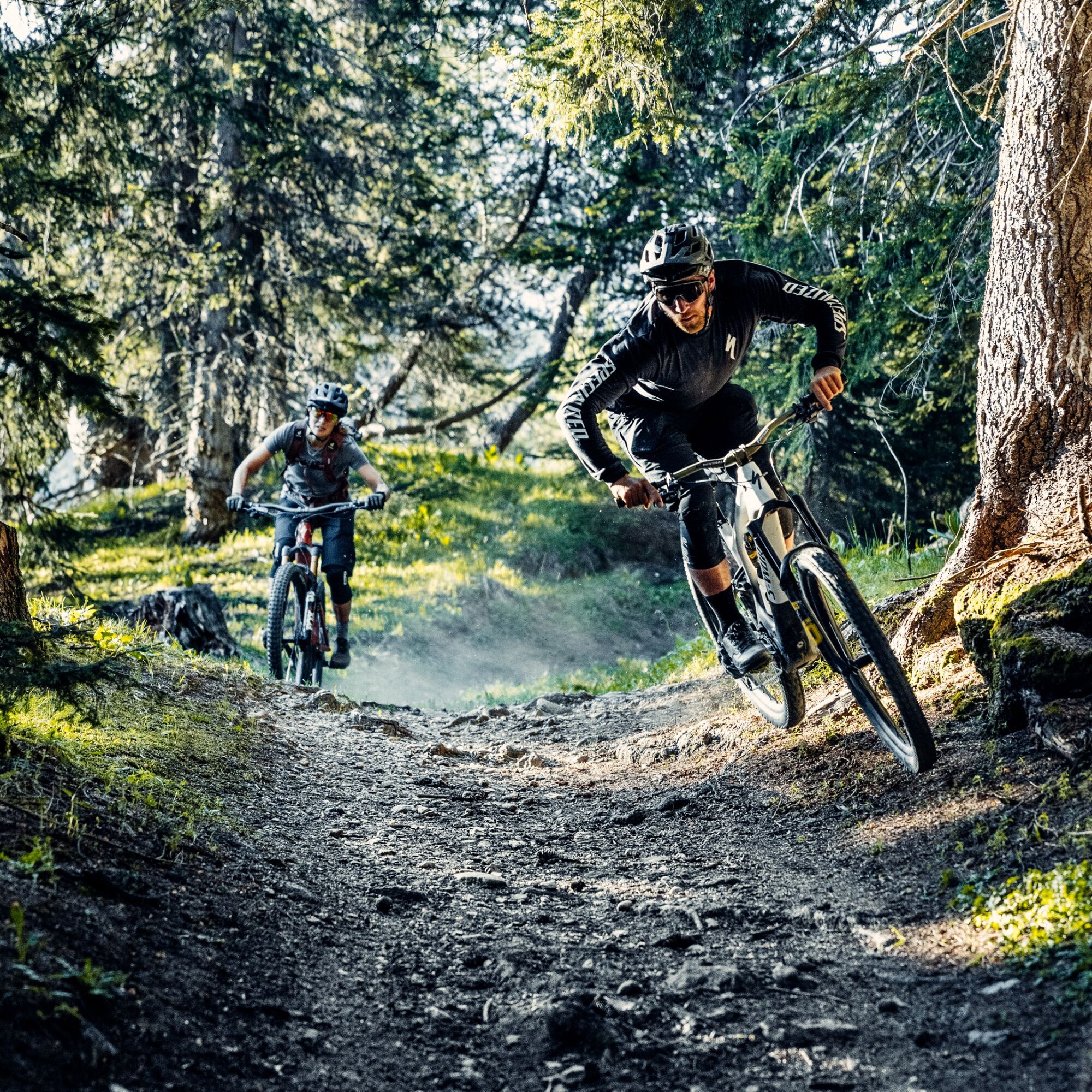
Cry d'Er Downhill
Nivel de dificultad: S2
Starting high above Cry d'Er, this playful, fast-flowing descent is made for riders ready to take the next step without committing to anything too extreme. The route links together berms, small jumps,...
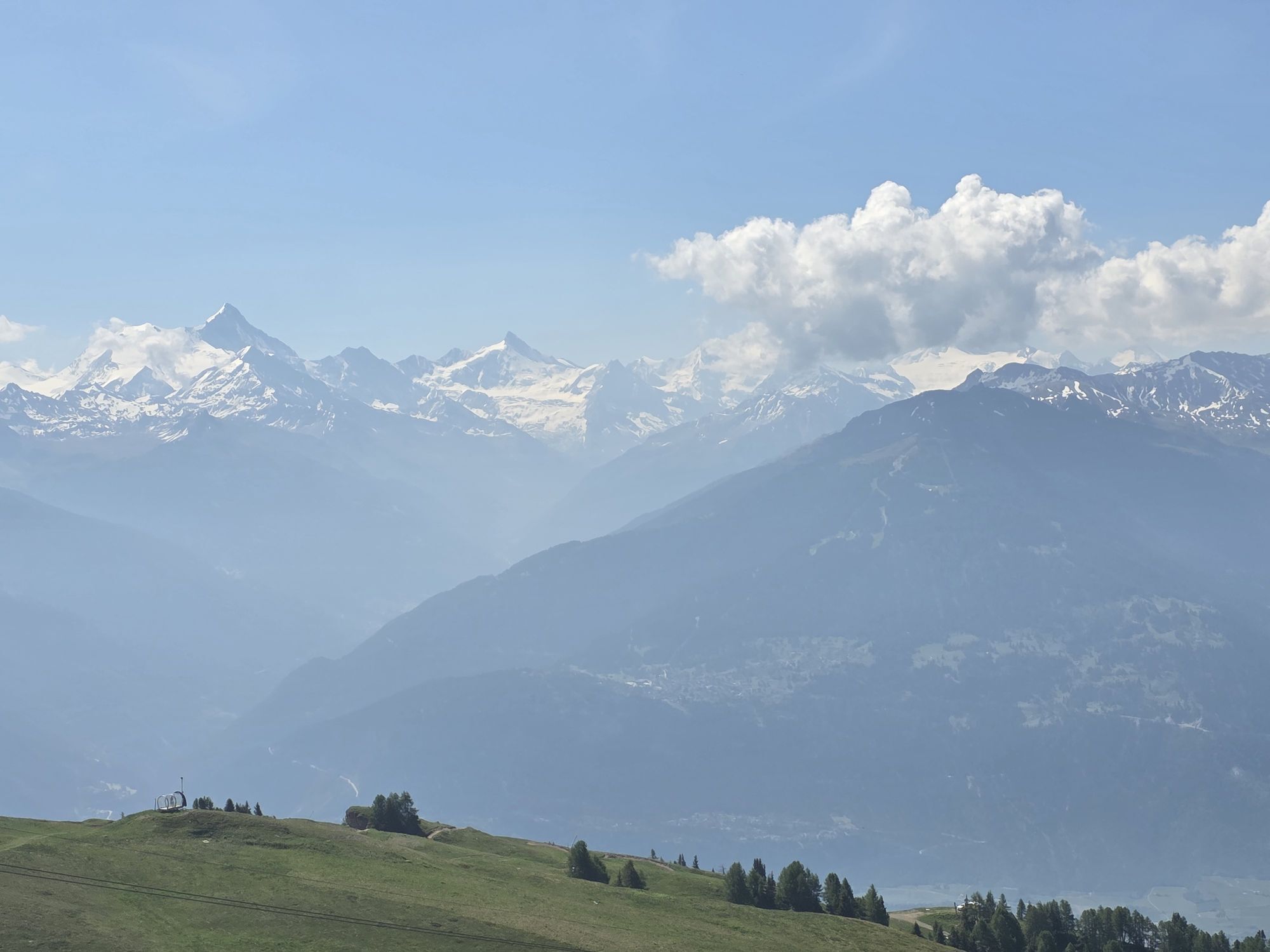
At just over 3 km long, it is a fun, progressive trail that is ideal for picking up speed, refining your line choice and enjoying the ride in a wide-open alpine setting with spectacular views.
Sí
Sí
Preparing for mountain bike outings
Best practice guidelines
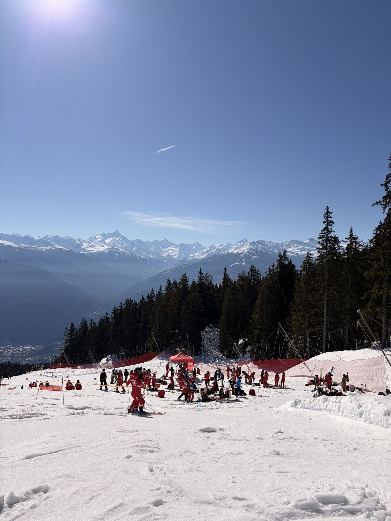
When planning, take into account participants’ fitness level and ability. All riding is at one’s own risk.
From Sierre, take the A9 motorway exit, either Sierre-Est or Sierre-Ouest, and follow signs for Crans-Montana, Crans-Montana centre, then Crans centre. The drive takes around 20 to 25 minutes. Once in Crans-Montana, follow signs for the 🚡 Cry d'Er or 🚡 Chetzeron car park. Two car parks are available on site.
From Sierre SBB railway station, head to the SMC funicular station and take the funicular towards "Crans-Montana, gare", the final stop. The journey takes around 13 minutes, with three departures per hour.
When you leave the funicular:
Ride for around 10 minutes to reach the Crans-Cry d'Er lift departure point. Free SMC shuttle buses serve the whole Crans-Montana resort. The closest stop to the departure point is "télé Cry d'Er" on line 431.Then take the lifts up to Cry d'Er.
The following car parks are located at the foot of the lifts:
Cry d'Er, paid outdoor car park
Chetzeron, paid indoor car park
S2
You can book your daily lift pass directly online. The Crans-Cry d'Er line runs from June to October. Timetables are available online.
Continue the descent on the Flowtrail Arnouva, or take the connecting trail back to the start of the lift system.
Rutas populares en los alrededores
-
5,0
Bisse du Ro
luzSenderismo 11,2 km -
5,0
Torrenthorn- Rigi der Walliser Alpen
Senderismo 2,99 km -
4,7
Leukerbad - Gemmipass - Lämmerenhütte
medioSenderismo 9,49 km -
4,0
Grand Bisse de Lens
luzSenderismo 8,73 km -
4,0
Gemmipass - Lämmerenhütte - Rote Totz Lücke - Daubensee - Gemmipass
medioSenderismo 13,7 km -
4,0
Tripon - Brac – Ancien Bisse du Torrent Neuf – St. Marguerite – Torrent Neuf – Prafirmin - St. Germain
luzSenderismo 12,9 km -
Gratweg
Vía ferrata 5,16 km -
Talabfahrt (Rinderhütte-Tunnel-Folljeret-Leukerbad)
Senderismo 7,78 km -
4,0
Wolfstritt
Senderismo 7,02 km -
5,0
Klettersteig Daubenhorn
pesadoVía ferrata 5,34 km
Senderismo y rastreo


No se pierda las ofertas y la inspiración para sus próximas vacaciones
Su dirección de correo electrónico se ha añadido a la lista de correo.