


Lieutenant Mario Fusetti Via Ferrata
Nivel de dificultad: B/C
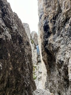
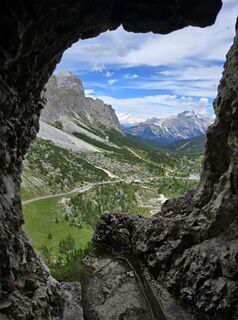
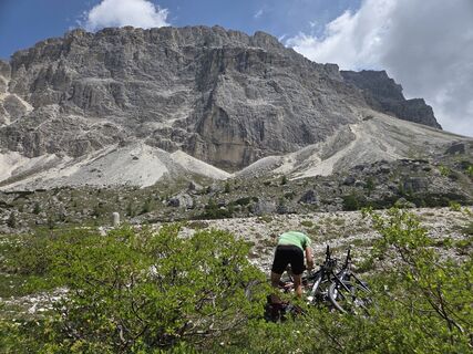
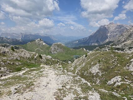
Fotos de nuestros usuarios
-
 © berendoenemaCreado el 25.09.2024
 -
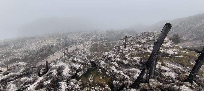
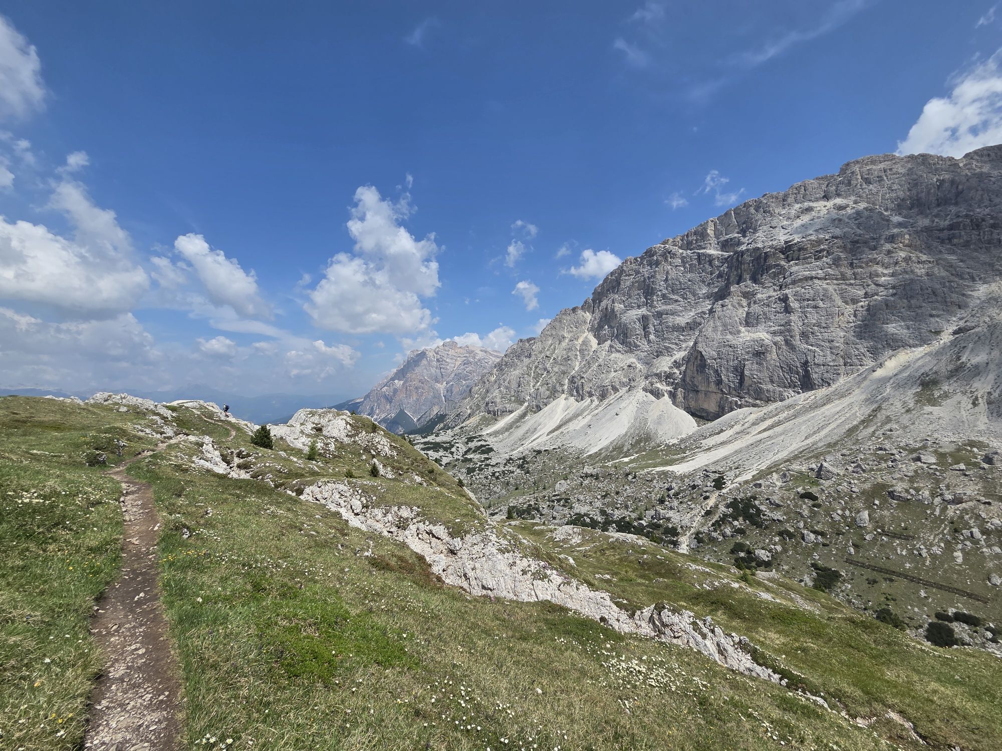
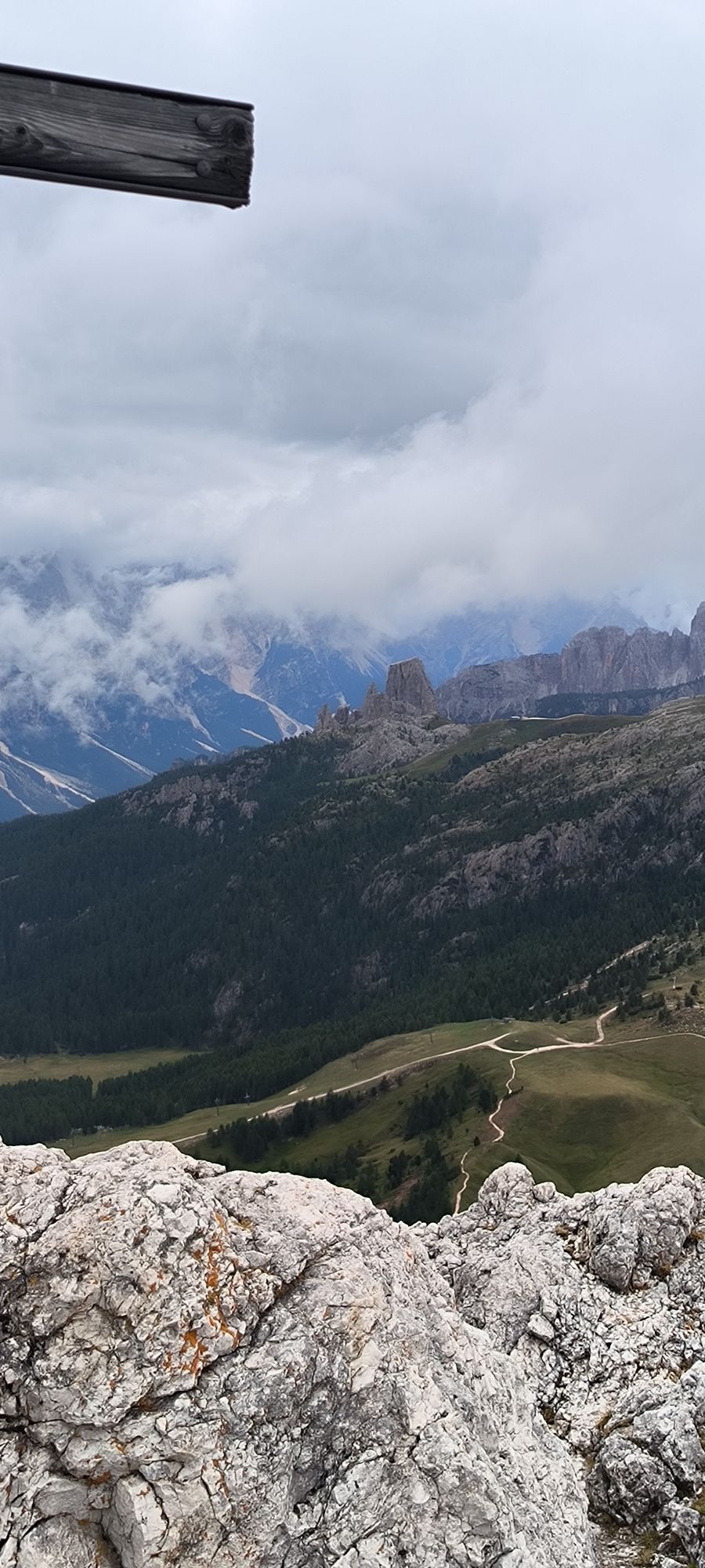
 © Andrea InserraCreado el 18.07.2025
 -
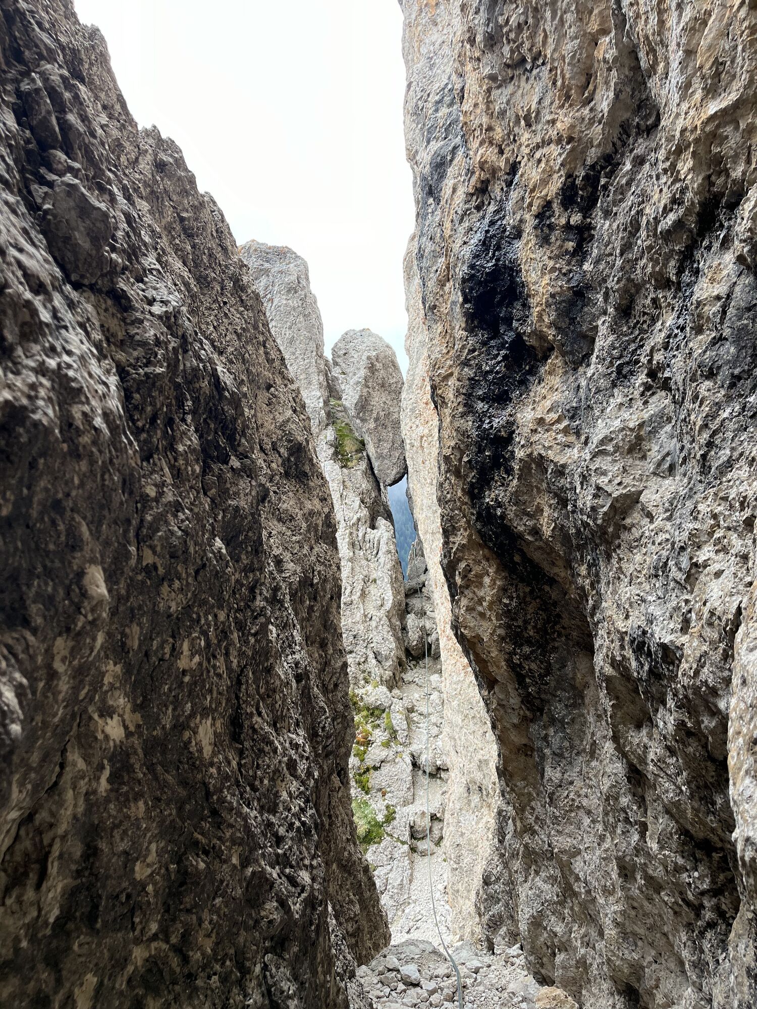
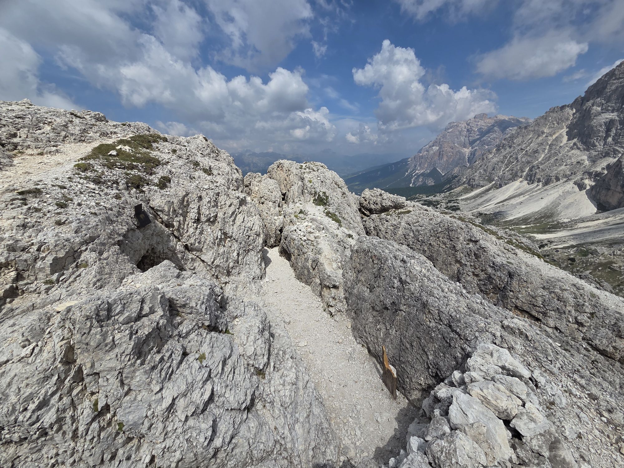
 © Gerti BärnthalerCreado el 21.06.2025
 -
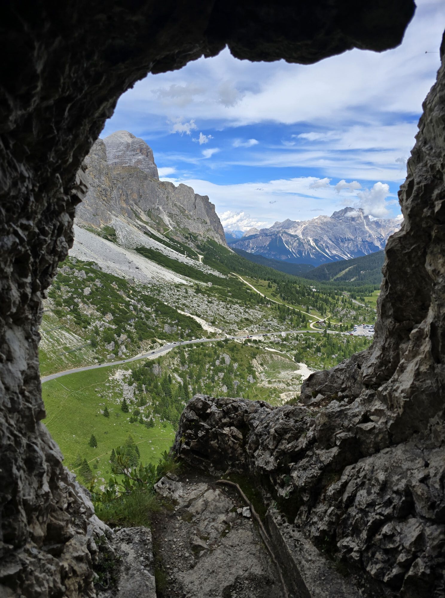
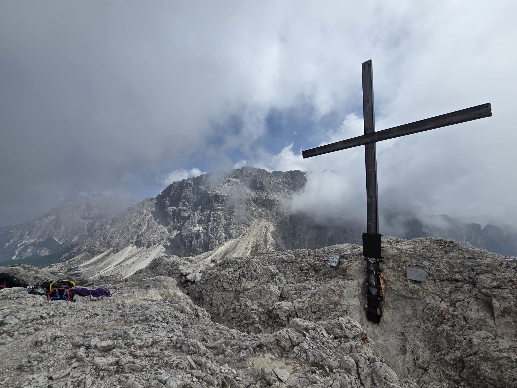
 © Gerti BärnthalerCreado el 21.06.2025
 -
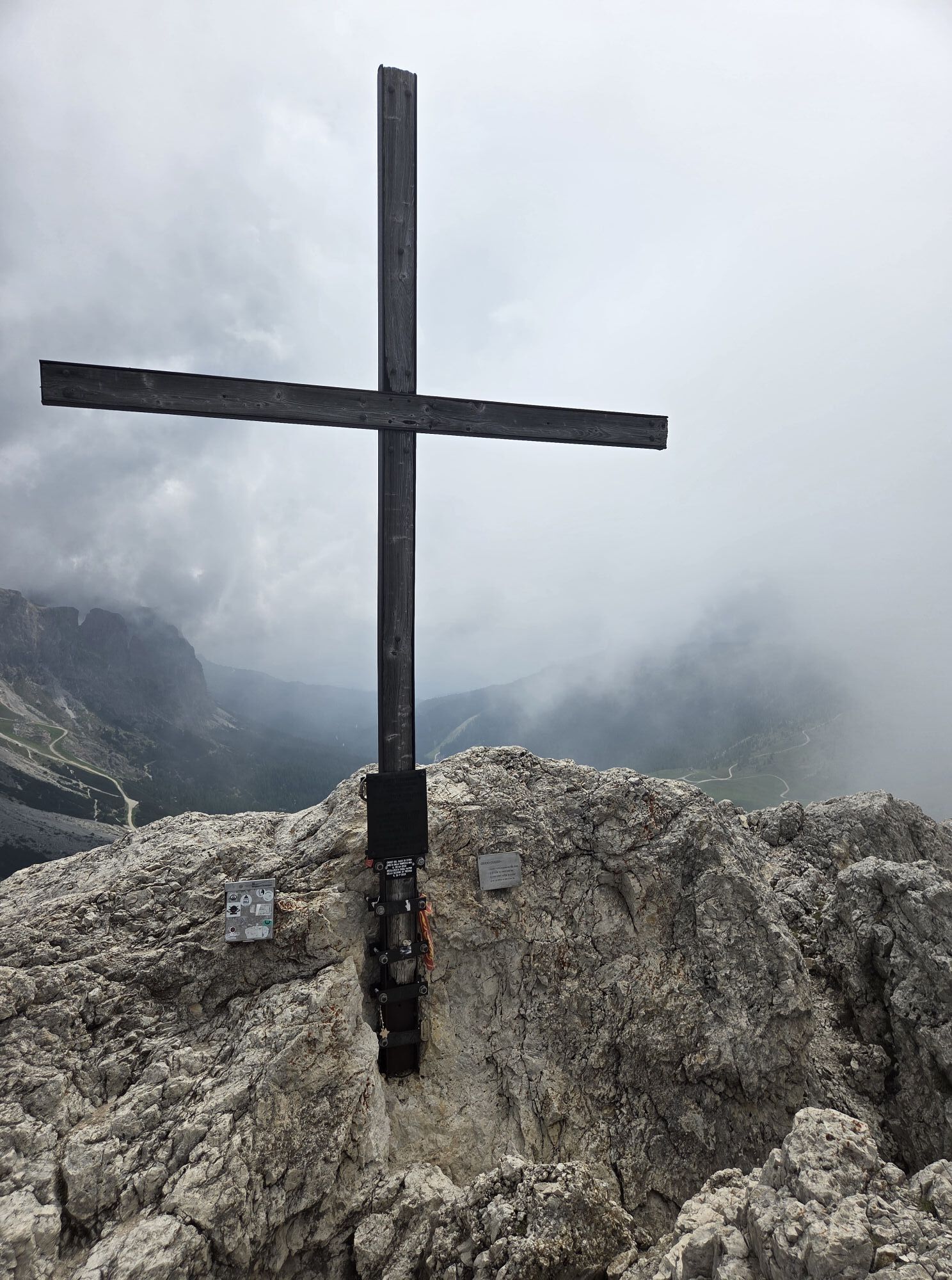
 © Gerti BärnthalerCreado el 21.06.2025
 -
 © Gerti BärnthalerCreado el 21.06.2025
 -
 © Gerti BärnthalerCreado el 21.06.2025
 -
 © Gerti BärnthalerCreado el 21.06.2025
 -
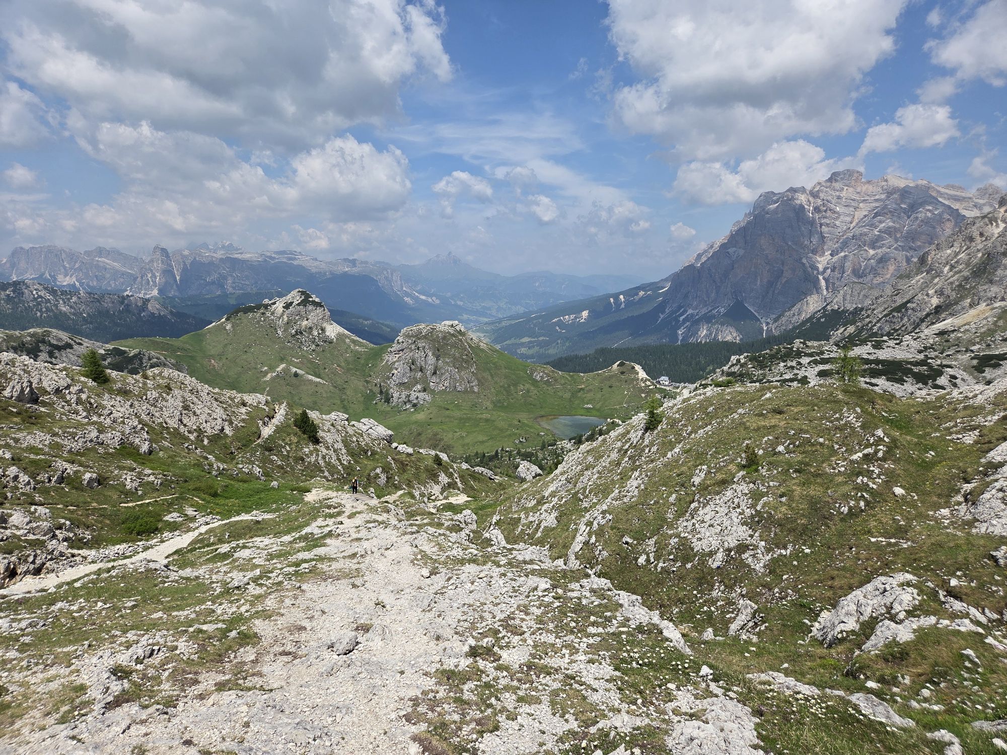
 © Pascal MeijersCreado el 29.08.2023
 -
 © Pascal MeijersCreado el 29.08.2023


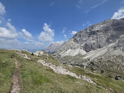
This is a very suggestive equipped route from the point of view of the landscape but, to a greater extent, historical and cultural, as it allows you to walk in the footsteps of a great protagonist of the...
This is a very suggestive equipped route from the point of view of the landscape but, to a greater extent, historical and cultural, as it allows you to walk in the footsteps of a great protagonist of the First World War.
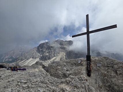
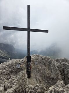
The "Sottotenente Fusetti" (Lieutenant Fusetti) via ferrata was opened by the National Alpine Corps, which, divided into two teams, undertook a search session for the remains of Lieutenant Mario Fusetti, hero of the "Sasso di Stria", Medal of Honour for military valour.
The via ferrata was inaugurated on 18 October 2018.


From the car park of the "Tre Sassi" Fort on the "Val Parola" pass, to reach the start of the ferrata, take the path towards "Stria" mountain until you reach the "Goiginger" Gallery at an altitude of 2,255 metres above sea level. Once you have come out on the other side, you reach the "Goiginger" post, after which, at a distance of about 800 metres, you can find the start of the ferrata.
The approach through the tunnel takes about 1 hour.
The via ferrata kit:
comfortable boot that adapts to the shape of the foot with carved rubber sole to prevent slipping long trousers breathable t-shirt substitute T-shirt (preferably breathable) sweatshirt or pile windproof and rainproof jacket breathable socks waist - adjustable climbing harness via ferrata set with ergonomic coretec carabiners and abrasion-resistant elasticated webbing lanyards climbing helmet (to be worn when approaching the via ferrata's strarting point to avoid falling rocks) via ferrata gloves waterproof backpack or backpack with waterproof cover sun cream anti-glare glasses emergency rope (ability required)There are no refreshments along the way, therefore you need to stock up on water and food.
Always let someone know where you are going and the approximate duration of the hike and avoid going alone.
The telephone number in case of emergency is 112 or 118 (ambulance).
If you are approaching this practice for the first time, it is reccomended to contact the Alpine Guides.
By train
Nearest railway stations
Belluno - 70 km Brunico - 48 km Ponte Gardena - 51 kmBy bus
Brunico - 47 Km connection by SAD line www.sad.it Belluno - 70 km - connected by the Dolomitibus www.dolomitibus.itBy plane
Venice Treviso/Venice Marco Polo - 160/170 km Innsbruck - 140 km Verona - 270 km Milan Bergamo/Milan Malpensa - 310/400 kmParking available at the "Valparola" Pass, near the "Tre Sassi Fort" Museum.
B/C
Mountain Guides:
Francesco Tremolada Filippo BeccariBefore the start, it is reccomended to get informed about the weather, which changes rapidly in the mountains, and the conditions of the route.
"The vademecum of the sustainable hiker":
choose the route according to your physical and technical abilities before the start, read up on the route you intend to take (distances, height difference, hours spent, springs, fountains, refuges, lifts, bivouacs, etc.). check the condition of the chosen path never undertake a hike alone always take the rubbish back to the village please stay on the marked trails please be quiet do not pick up stones or minerals do not feed animals do not light fires do not pick up flowers or plants
Rutas populares en los alrededores
-
4,6
Paso Pordoi - Sass Pordoi - Forcella Pordoi - Piz Boè - Refugio Boè - Forcella Pordoi - Paso Pordoi
pesadoSenderismo 8,39 km -
4,4
Dolomiten Sellagruppe, Alb. Col di Lana, Sas de Pordoi, Piz Boé retour 22.06.2016
medioSenderismo 5 km -
4,6
Recorrido de las Cinco Torres (Refugios Averau, Nuvolau y Scoiattoli) desde el Passo Giau
medioSenderismo 10,8 km -
4,7
Passo Giau roundtrip
medioSenderismo 8,10 km -
4,9
Pisciadùsteig Sella Gruppe
medioVía ferrata 7,15 km -
5,0
Vía ferrata "Cesare Piazzetta"
pesadoVía ferrata 9,07 km -
4,9
Fanes-Sennes-Runde
Mountainbike 54,8 km -
4,2
Viel dal pan
luzSenderismo 6,60 km -
4,7
Pederü - Fanes Hütte
luzSenderismo 12,0 km -
5,0
Magnifique et très variée
medioSenderismo 12,6 km
Senderismo y rastreo


No se pierda las ofertas y la inspiración para sus próximas vacaciones
Su dirección de correo electrónico se ha añadido a la lista de correo.