


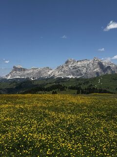
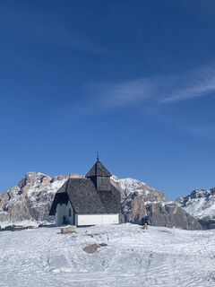
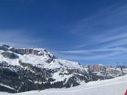
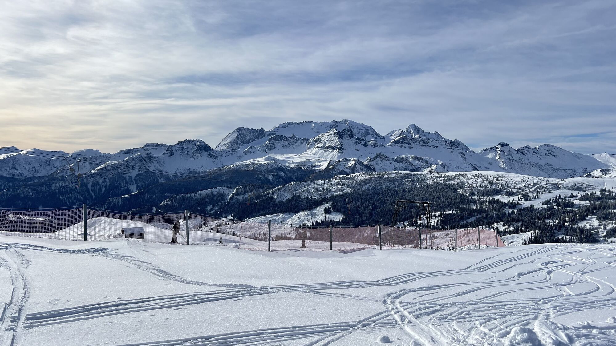
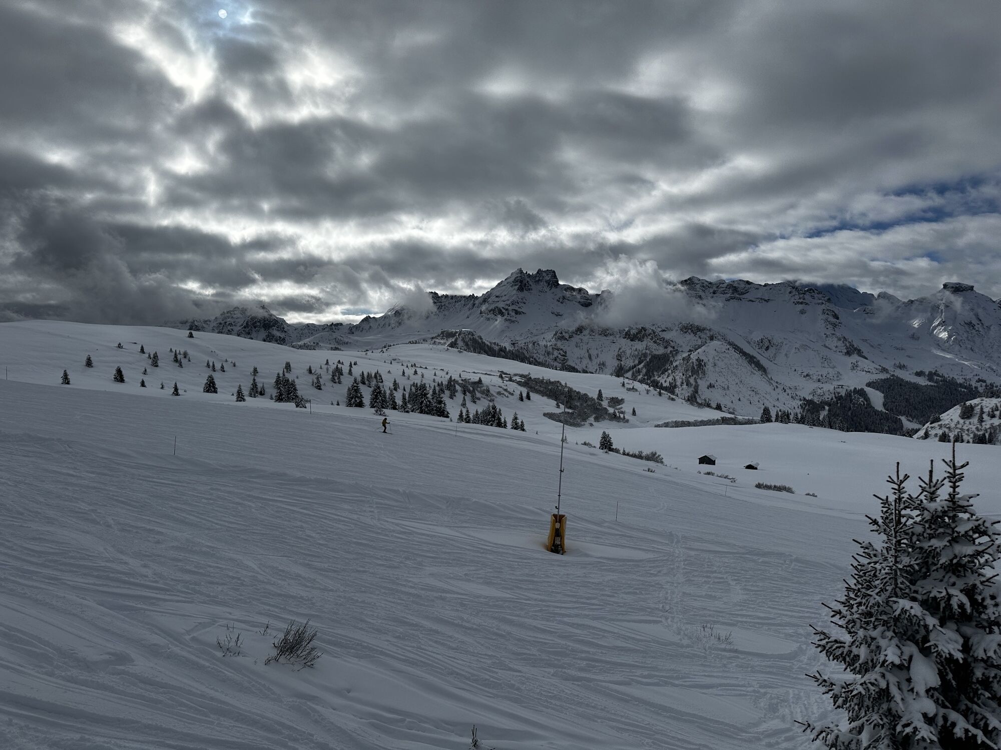
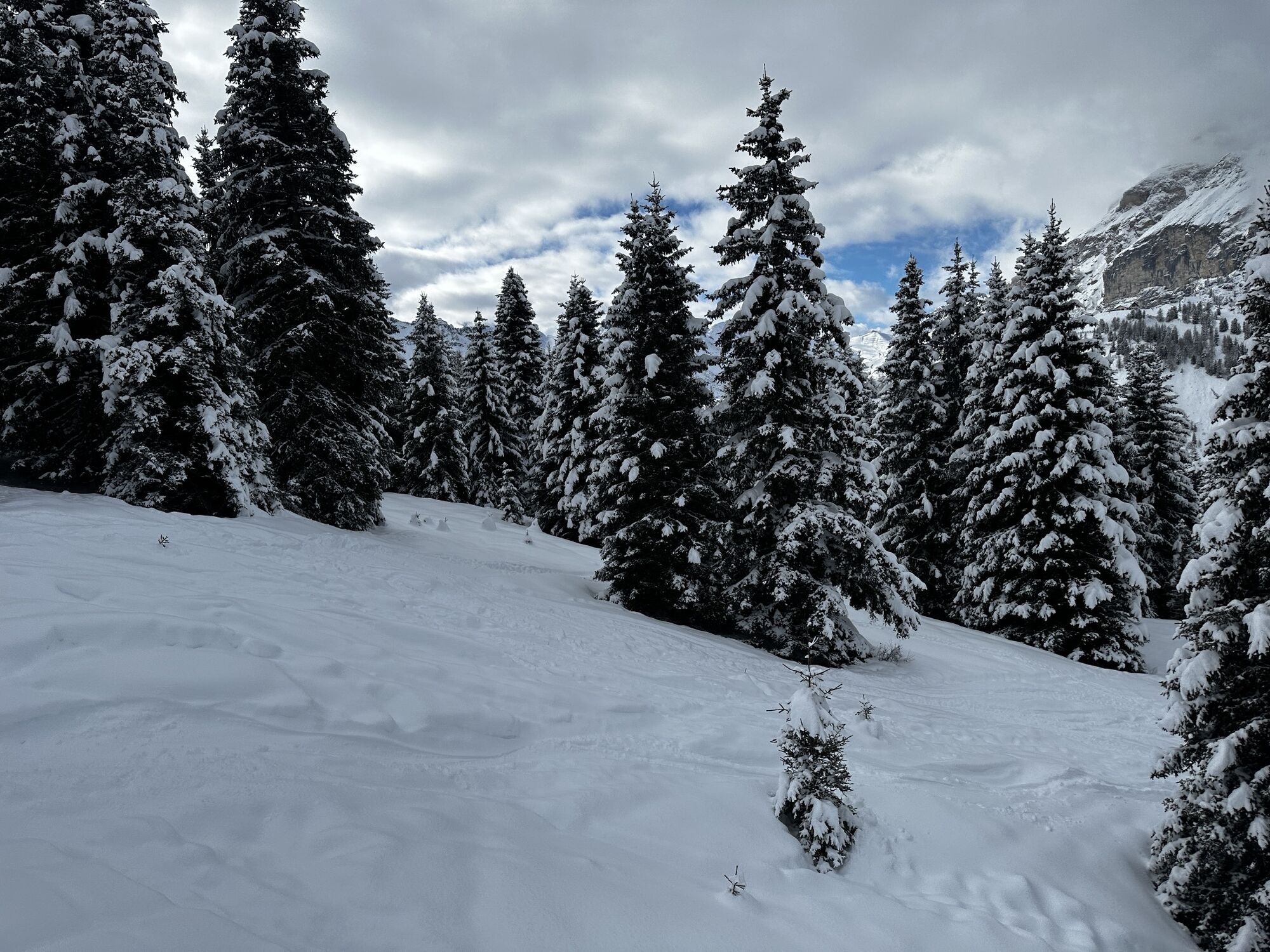
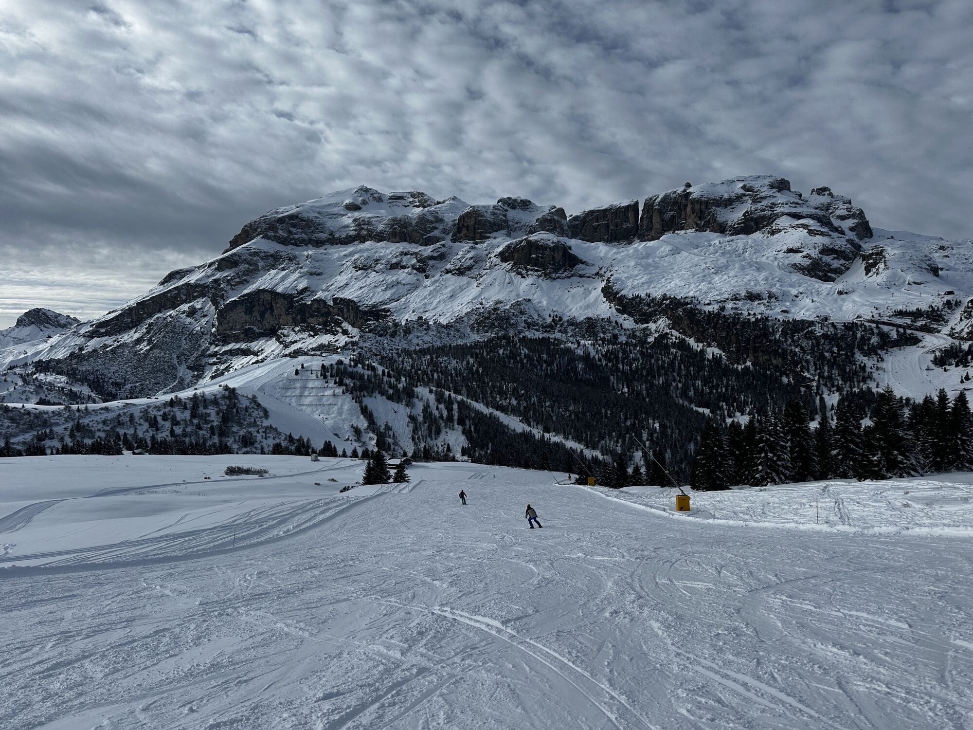
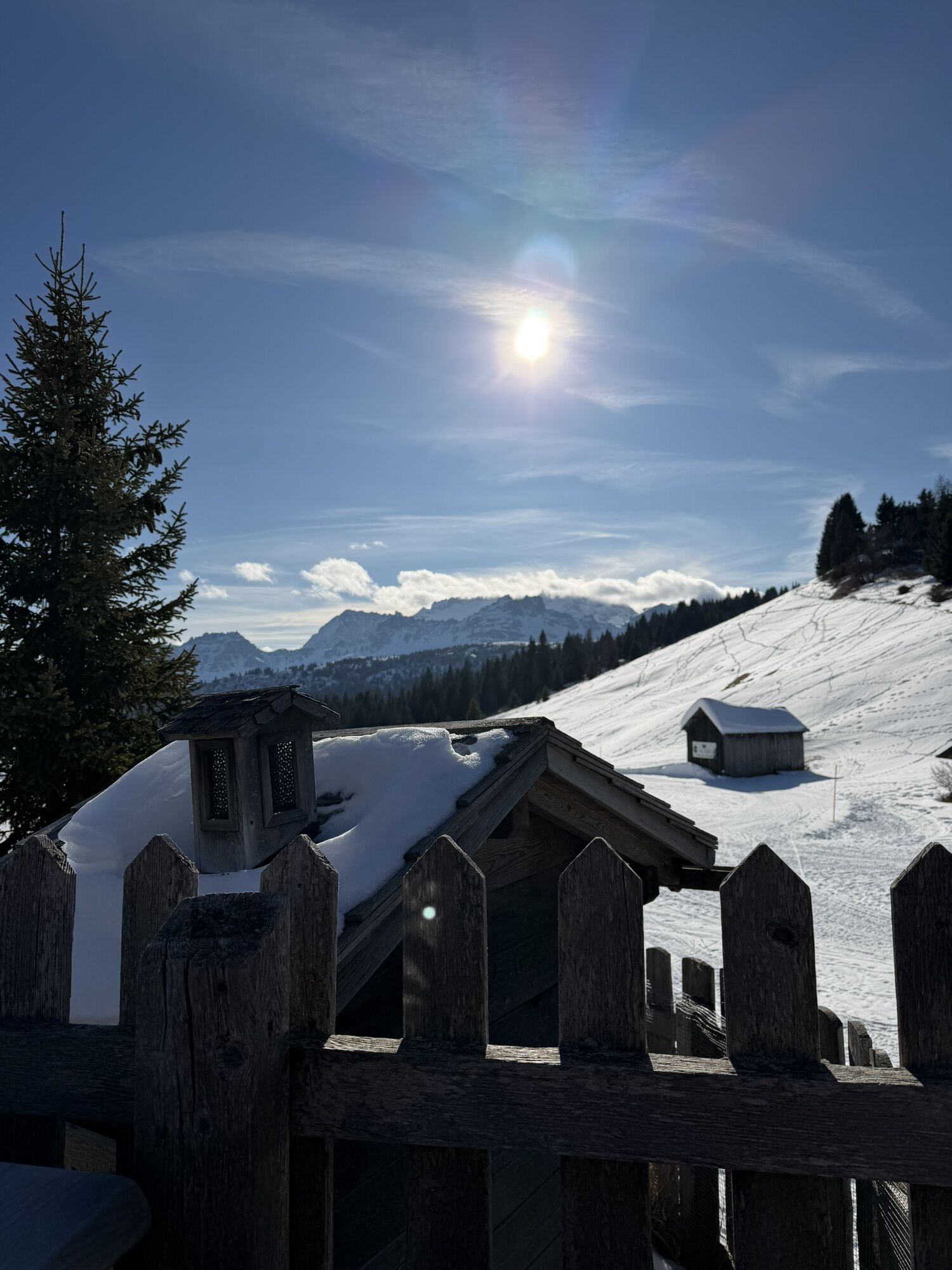
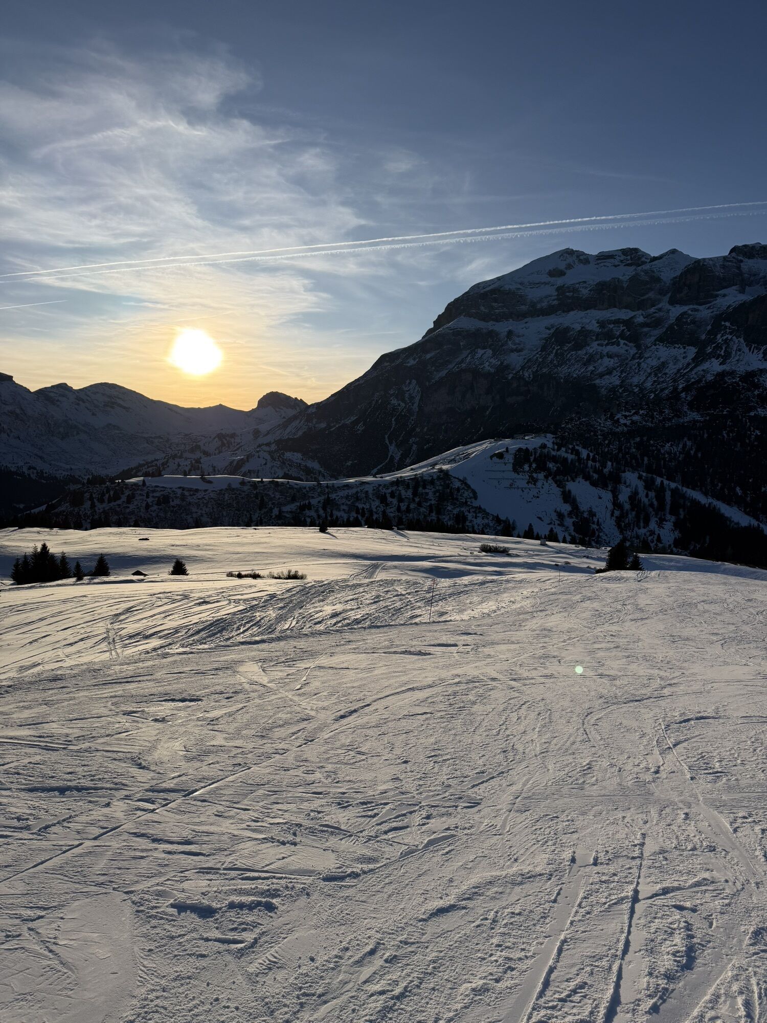
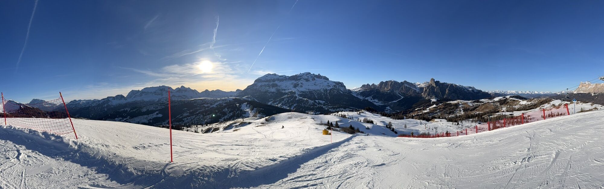
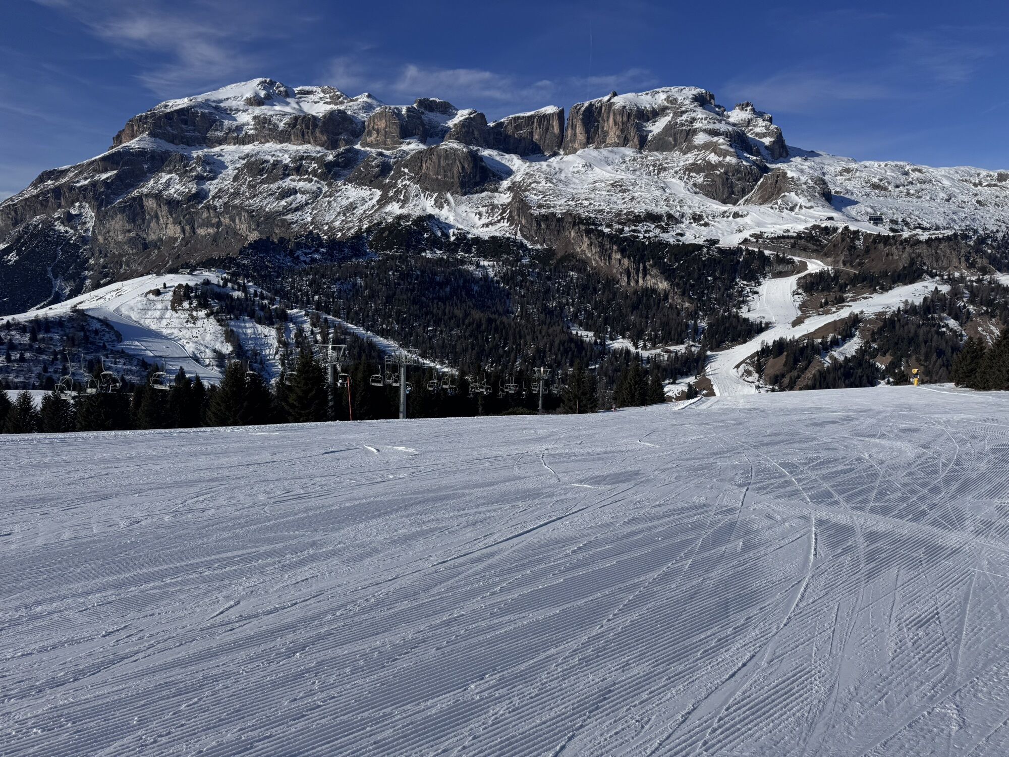
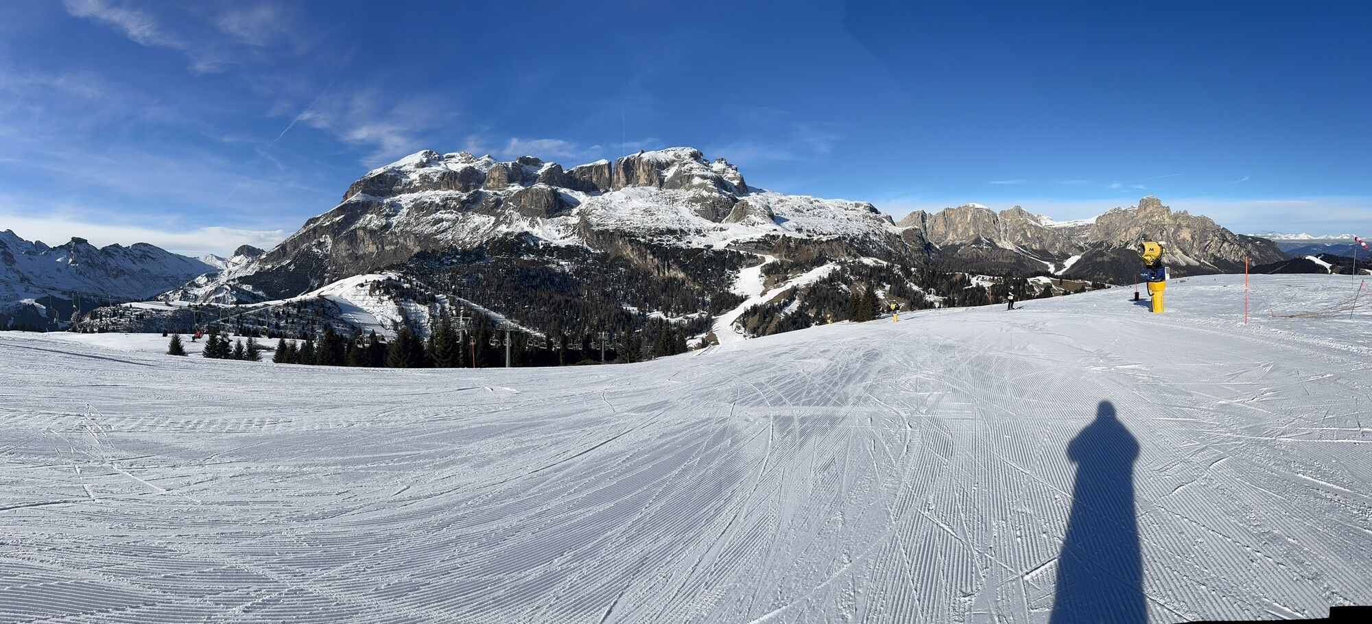
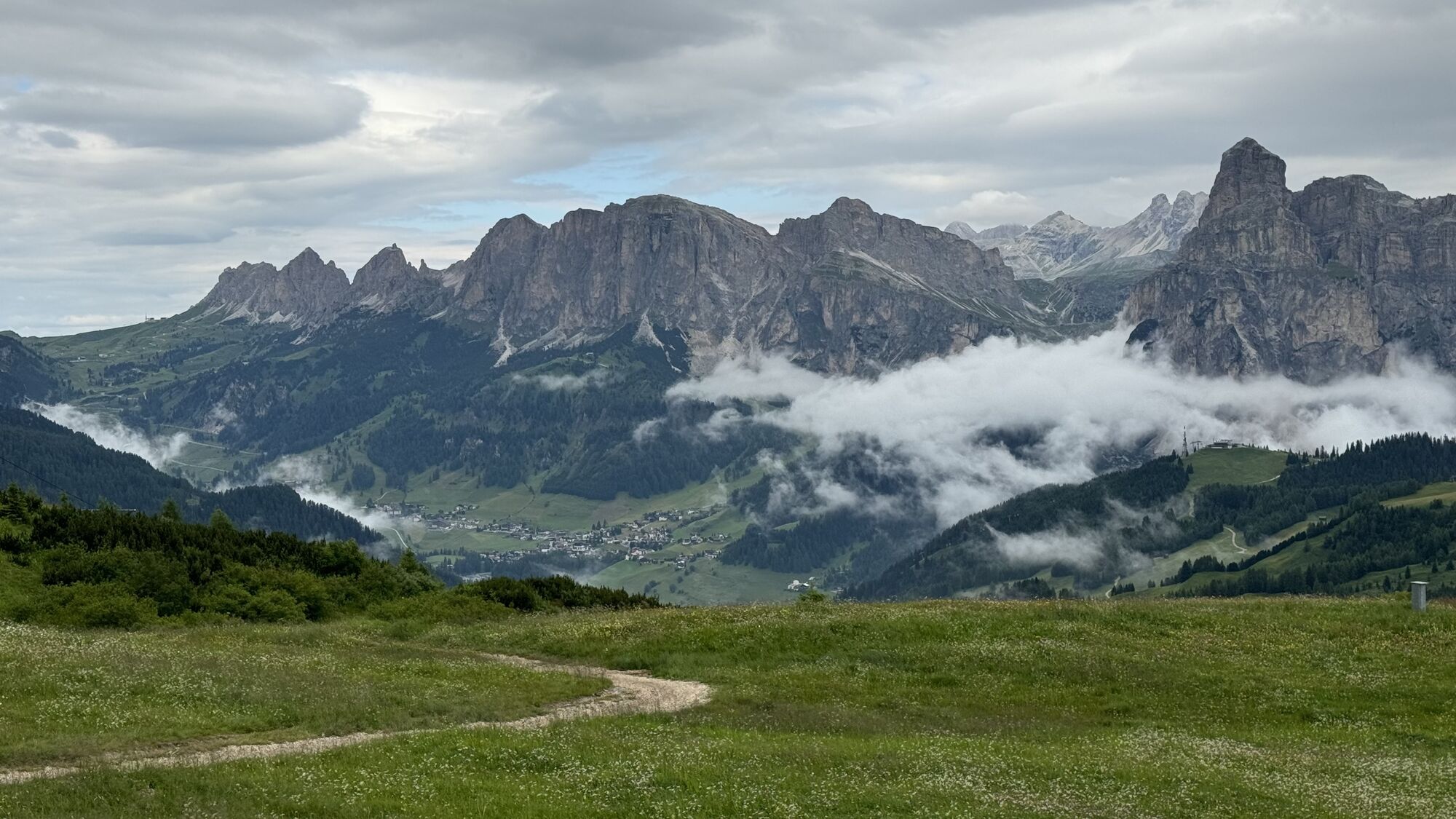
Pralongià
Fotos de nuestros usuarios
-
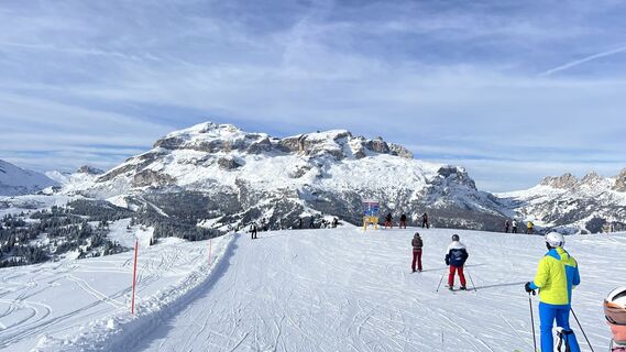
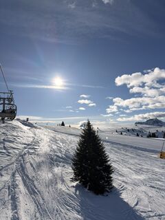
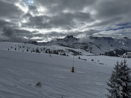
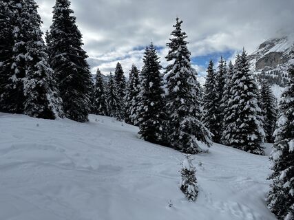
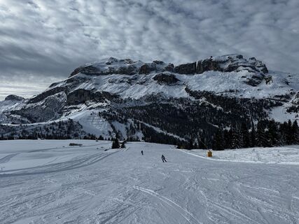
 © GipfelspeziCreado el 30.01.2025
 -
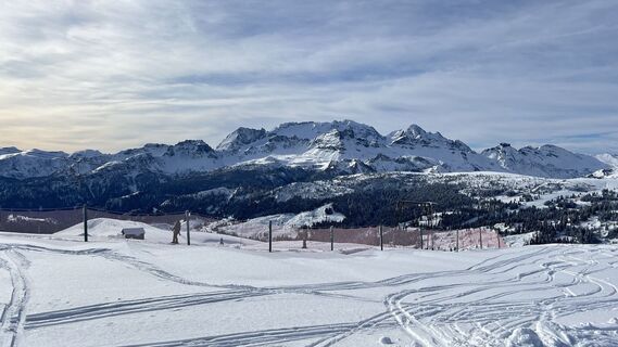 © GipfelspeziCreado el 30.01.2025
 -
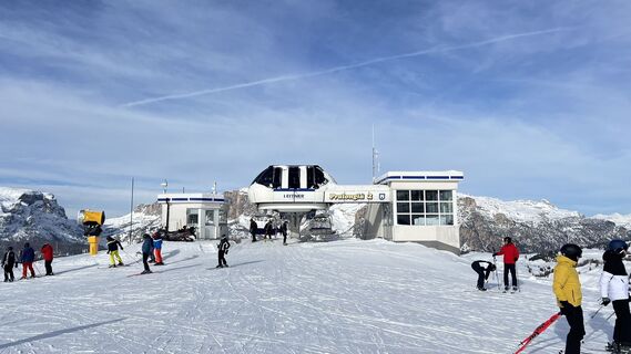 © GipfelspeziCreado el 30.01.2025
 -
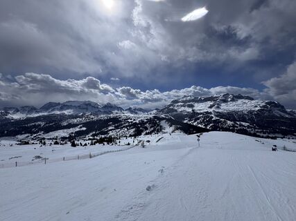
 © Simon HeidCreado el 30.03.2026
 -
 © LindabuzkovalbCreado el 13.03.2026
 -
 © LindabuzkovalbCreado el 13.03.2026
 -
 © AntonioCreado el 07.03.2026
 -
 © AntonioCreado el 07.03.2026
 -
 © BlacherCreado el 06.03.2026
 -
 © Lisa PeckmannCreado el 06.03.2026
 -
 © mišel posavacCreado el 21.02.2026
 -
 © SuperBastiCreado el 30.01.2026
 -
 © SuperBastiCreado el 30.01.2026
 -
 © SuperBastiCreado el 27.01.2026
 -
 © Robert PrußCreado el 23.01.2026
 -
 © Robert PrußCreado el 19.01.2026
 -
 © Robert PrußCreado el 19.01.2026
 -
 © Urmel U.Creado el 14.01.2026
 -
 © Urmel U.Creado el 14.01.2026
 -
 © Urmel U.Creado el 14.01.2026
 -
 © Martin TomannCreado el 11.01.2026
 -
 © Martin TomannCreado el 11.01.2026
 -
 © BaumiCreado el 11.07.2025
 -
 © BaumiCreado el 11.07.2025
 -
 © DolomitiMikeCreado el 20.06.2025
 -

 © schenkeliCreado el 22.02.2025
 -
 © Michael KoglerCreado el 03.02.2025
 -
 © Michael KoglerCreado el 03.02.2025
 -

 © Eberl ChristianCreado el 20.07.2024

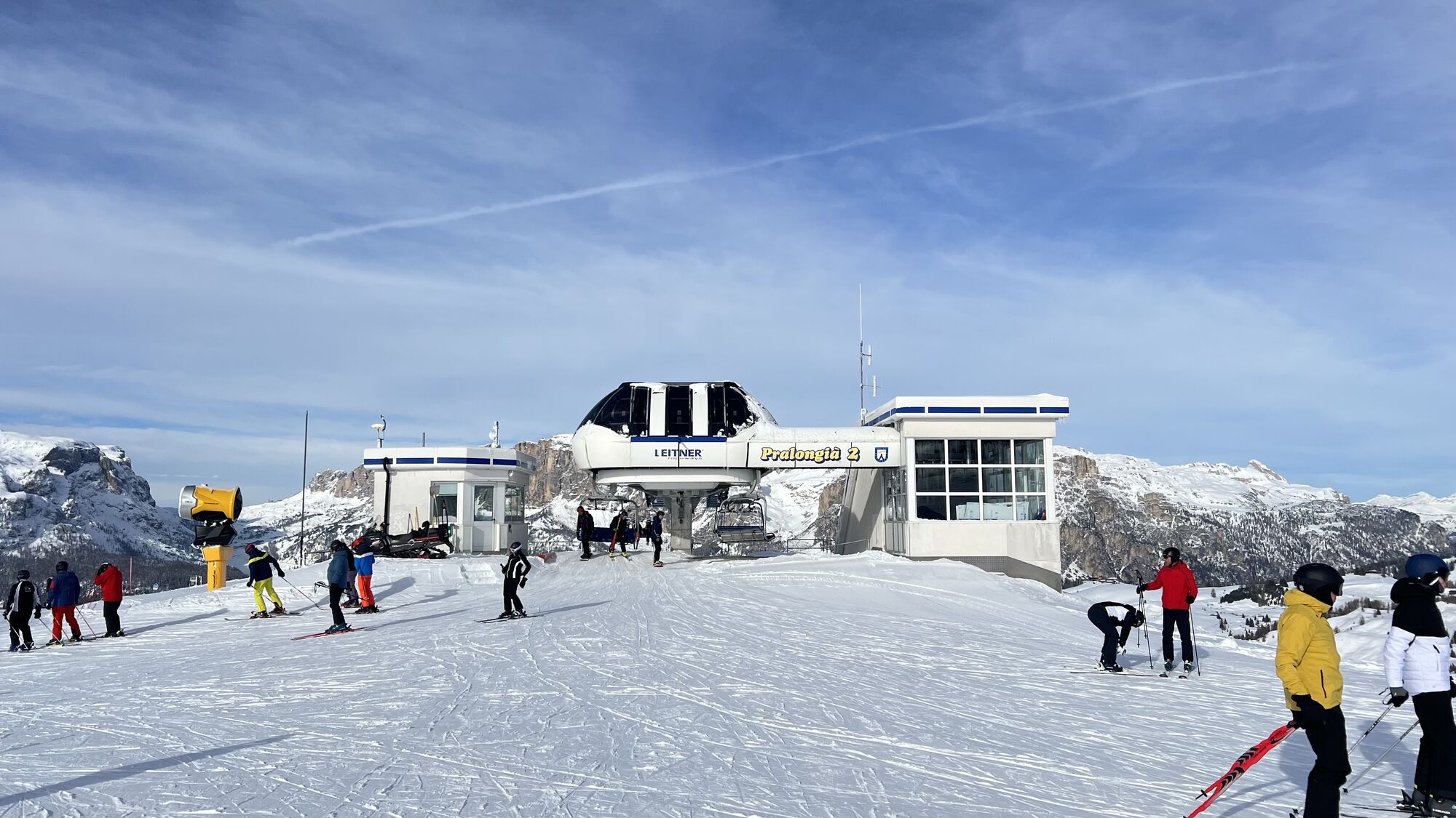

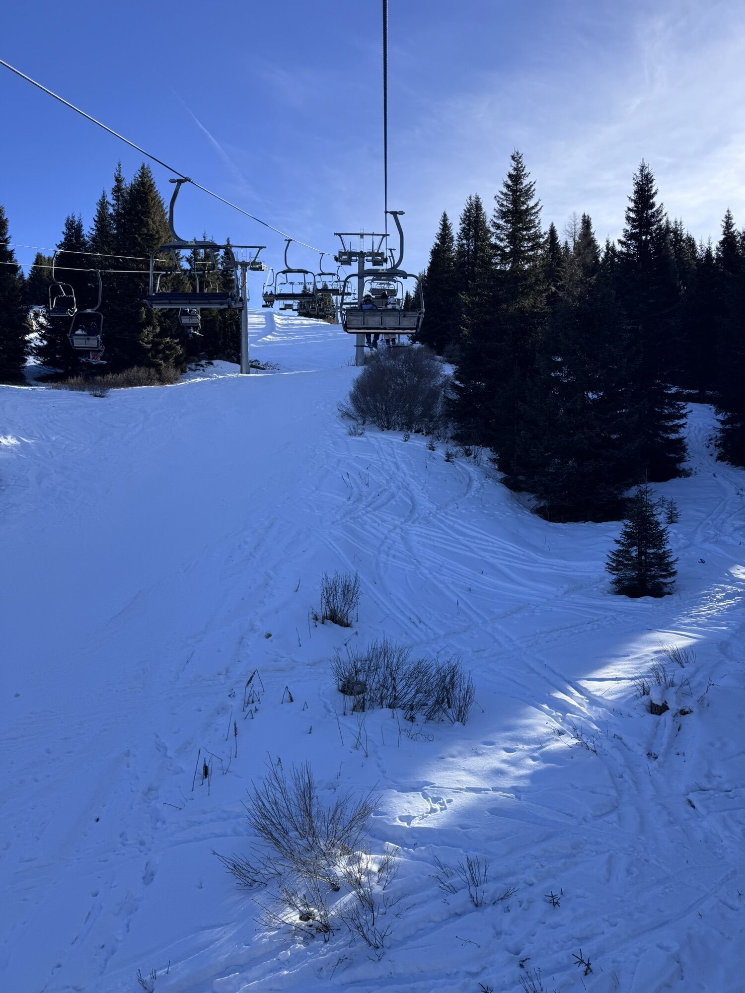


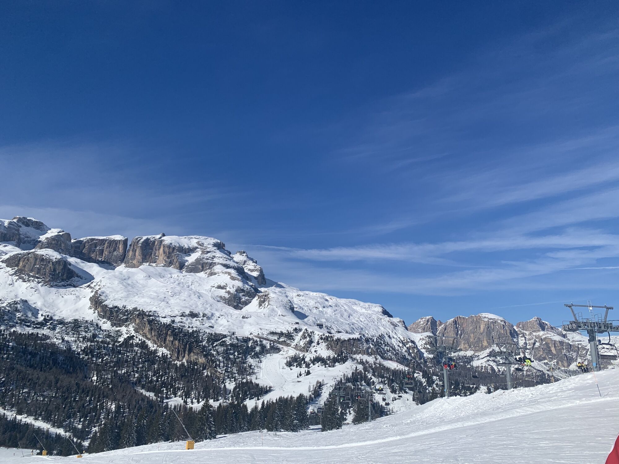
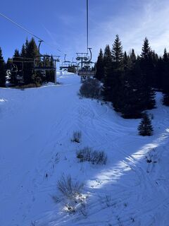
Departure from the "Campolongo" pass with the "Cherz I" chairlift, which takes you to the "Cherz" plateau with a 360° panorama.
From here, continue along path no. 3/A towards the "Incisa" pass a follow...
From here, continue along path no. 3/A towards the "Incisa" pass a follow the dirt road to Pralongià. For the back way, reach Incisa on the same road and than take the path no. 3 to Campolongo Pass.


From here, continue along path no. 3/A towards the "Incisa" pass.
Once there, we recommend that you take a break and then take path no. 3 "Jagerweg", which will take you back to the "Campolongo" pass in a pleasant walk through the woods.
Sí
Sí
Sí
The hiker's kit:
waterproof backpack or backpack with waterproof cover (not too big if the hike is short)
topographic map (or a local map with recommended paths)
compass and altimeter (or a sports watch)
binoculars
water bottles
energy bars or snacks
chocolate sandwiches (or lunch in a mountain hut)
breathable t-shirt
substitute T-shirt (preferably breathable)
sweatshirt or pile
windproof and waterproof jacket
shorts
long trousers
long socks (long or mid-calf)
multi - sport boots soft and snug on the ankle
light hat/headband
anti-glare sunglasses
sun cream
telescopic poles
first aid kit (plasters, disinfectant, gauzes, etc.)
The telephone number in case of emergency is 112 or 118 (ambulance).
By train
Nearest railway stations
Belluno - 70 km Brunico - 48 km Ponte Gardena - 51 kmBy bus
Brunico - 47 Km connection by SAD line www.sad.it Belluno - 70 km - connected by the Dolomitibus www.dolomitibus.itBy plane
Venice Treviso/Venice Marco Polo - 160/170 km Innsbruck - 140 km Verona - 270 km Milan Bergamo/Milan Malpensa - 310/400 kmParking possibilities in the stopping places and open spaces along the "Campolongo" Pass.
"The vademecum of the sustainable hiker":
choose the route according to your physical and technical abilities
before the start, read up on the route you intend to take (distances, height difference, hours spent, springs, fountains, refuges, lifts, bivouacs, etc.).
check the condition of the chosen path
never undertake a hike alone
always take the rubbish back to the village
please stay on the marked trails
please be quiet
do not pick up stones or minerals
do not feed animals
do not light fires
do not pick up flowers or plants
Webcams del recorrido
-
Pedraces
-
La Villa - Alta Badia
-
Colfosco
-
St. Kassian - Armentarola
-
St. Kassian - Armentarola
-
Alta Badia - Rifugio Ütia de Bioch
-
Arabba - Bec de Roces
-
Alta Badia - Club Moritzino
-
Piz Arlara
-
Piz Arlara
-
Piz Arlara
-
Piz Arlara
-
Piz Arlara
-
Piz Arlara
-
Piz La Ila
-
Piz La Ila
-
Piz Sorega
-
Piz Sorega
-
Piz Sorega
-
Piz Sorega
-
Boé
-
Boé
-
Boé
-
Boé
-
Boé
-
Piz Sorega
-
Piz Sorega
-
Mezdi Bergstation
-
Mezdi Bergstation
-
Mezdi Bergstation
-
Mezdi Bergstation
-
Mezdi Bergstation
-
Colfosco - Corvara in Badia / Hotel Luianta
-
Colfosco
-
Rifugio Burz
-
Rifugio Burz
-
Rifugio Burz
-
Rifugio Burz
-
Rifugio Burz
-
Rifugio Burz
Actividades a lo largo del recorrido
Rutas populares en los alrededores
-
4,6
Paso Pordoi - Sass Pordoi - Forcella Pordoi - Piz Boè - Refugio Boè - Forcella Pordoi - Paso Pordoi
pesadoSenderismo 8,39 km -
4,9
Lang- und Plattkofel Umrundung
medioSenderismo 17,5 km -
4,8
Langkofel-Umrundung
medioSenderismo 12,9 km -
5,0
Langkofel Klettersteig/Ferrata Furcela de Saslonch
pesadoVía ferrata 7,07 km -
4,7
Passo Giau roundtrip
medioSenderismo 8,10 km -
5,0
Um den Langkofel
medioSenderismo 9,76 km -
3,8
Der Friedrich-August-Weg
medioSenderismo 10,4 km -
4,6
Recorrido de las Cinco Torres (Refugios Averau, Nuvolau y Scoiattoli) desde el Passo Giau
medioSenderismo 10,8 km -
4,4
Dolomiten Sellagruppe, Alb. Col di Lana, Sas de Pordoi, Piz Boé retour 22.06.2016
medioSenderismo 5 km -
4,3
Seceda und Regensburger Hütte
medioSenderismo 14,1 km
Senderismo y rastreo


No se pierda las ofertas y la inspiración para sus próximas vacaciones
Su dirección de correo electrónico se ha añadido a la lista de correo.