Scharnitz - Seefelder Spitze - Reither Spitze - Pfarrkirche hl. Georg
pesado
Navegue por
Navegue por
Consigue este tour en tu móvil
Scharnitz - Seefelder Spitze - Reither Spitze - Pfarrkirche hl. Georg
pesado
Senderismo
27,20
km
Escanee el código QR e inicie la navegación en la aplicación bergfex

Senderismo y rastreo


Scharnitz - Seefelder Spitze - Reither Spitze - Pfarrkirche hl. Georg
pesado
Distancia
27,20
km
Duración
09:31
h
Ascenso
1.783
m
Nivel del mar
622 -
2.361
m
Descarga de pistas
Scharnitz - Seefelder Spitze - Reither Spitze - Pfarrkirche hl. Georg
pesado
Senderismo
27,20
km


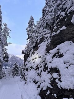
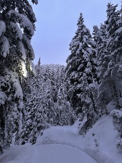
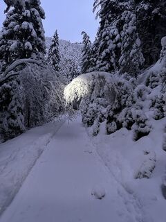
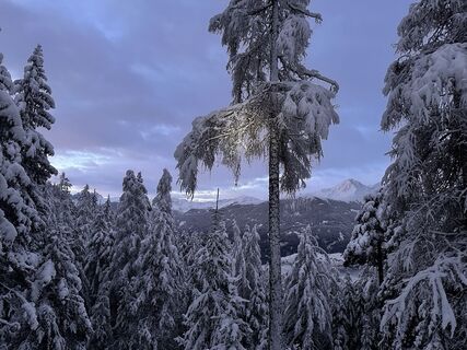
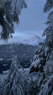
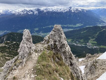
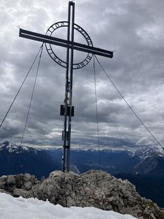
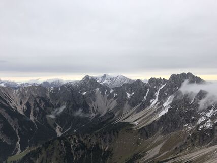
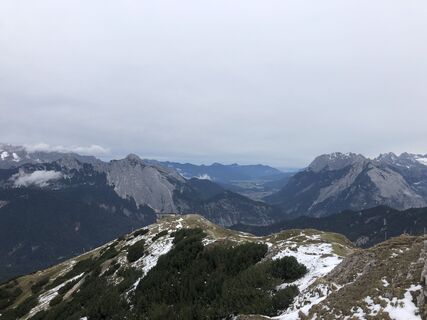
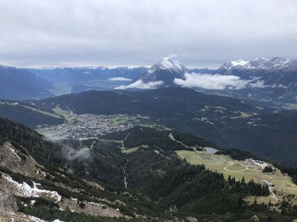
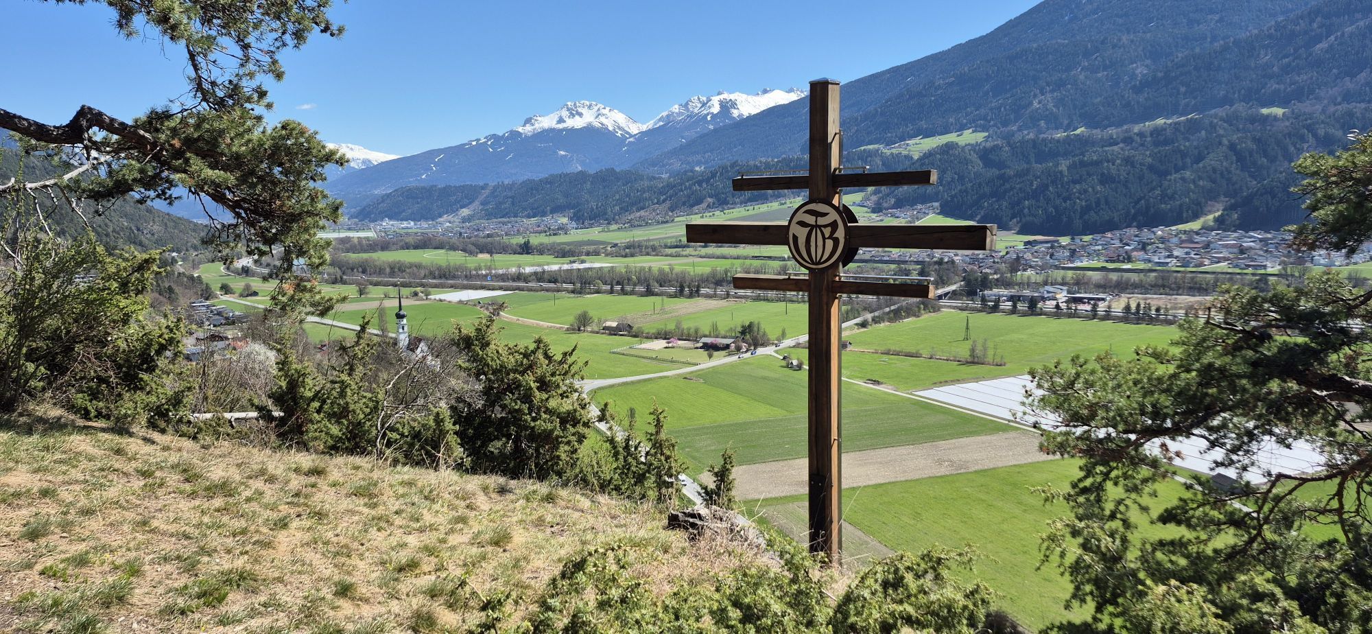
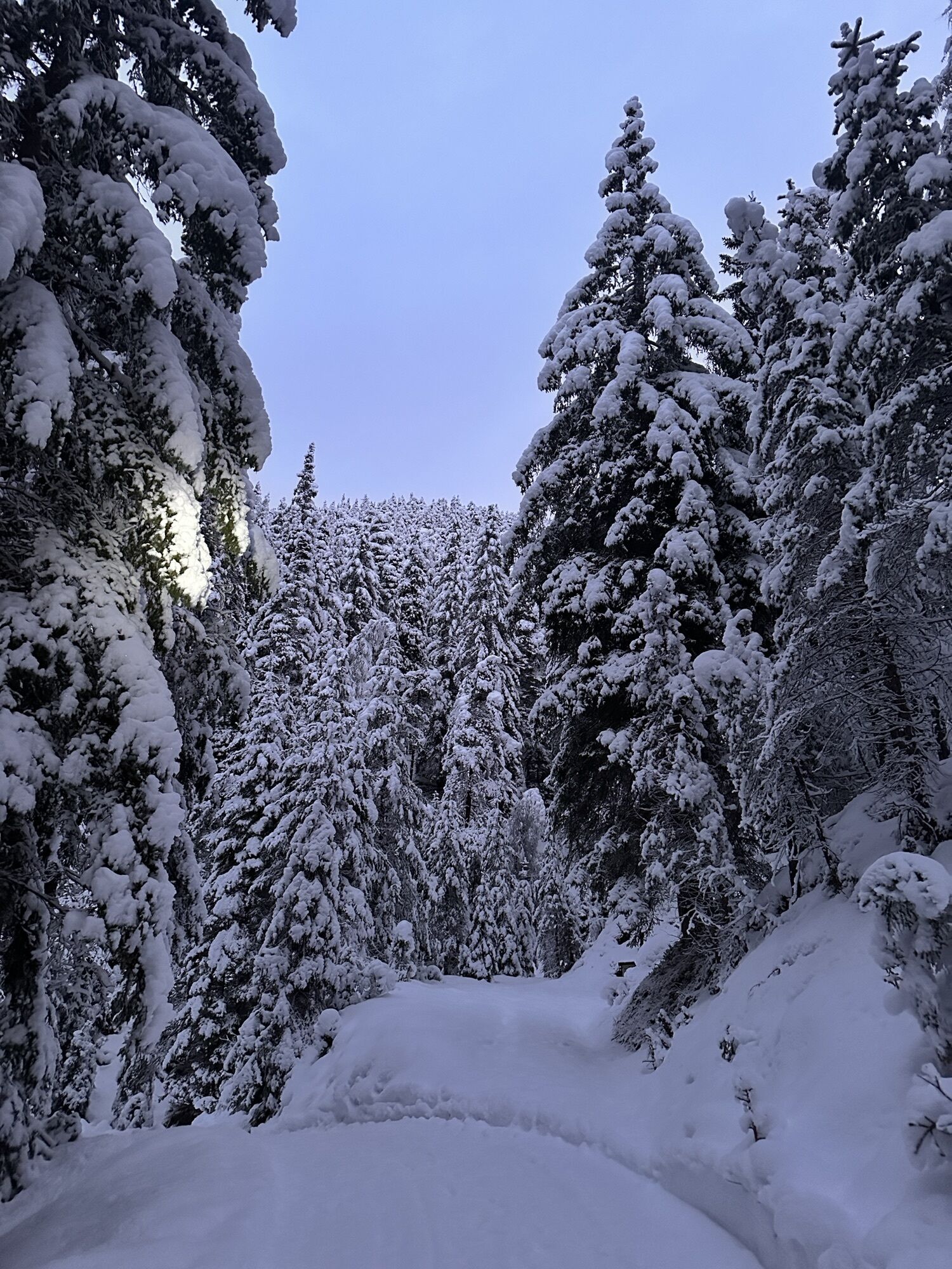
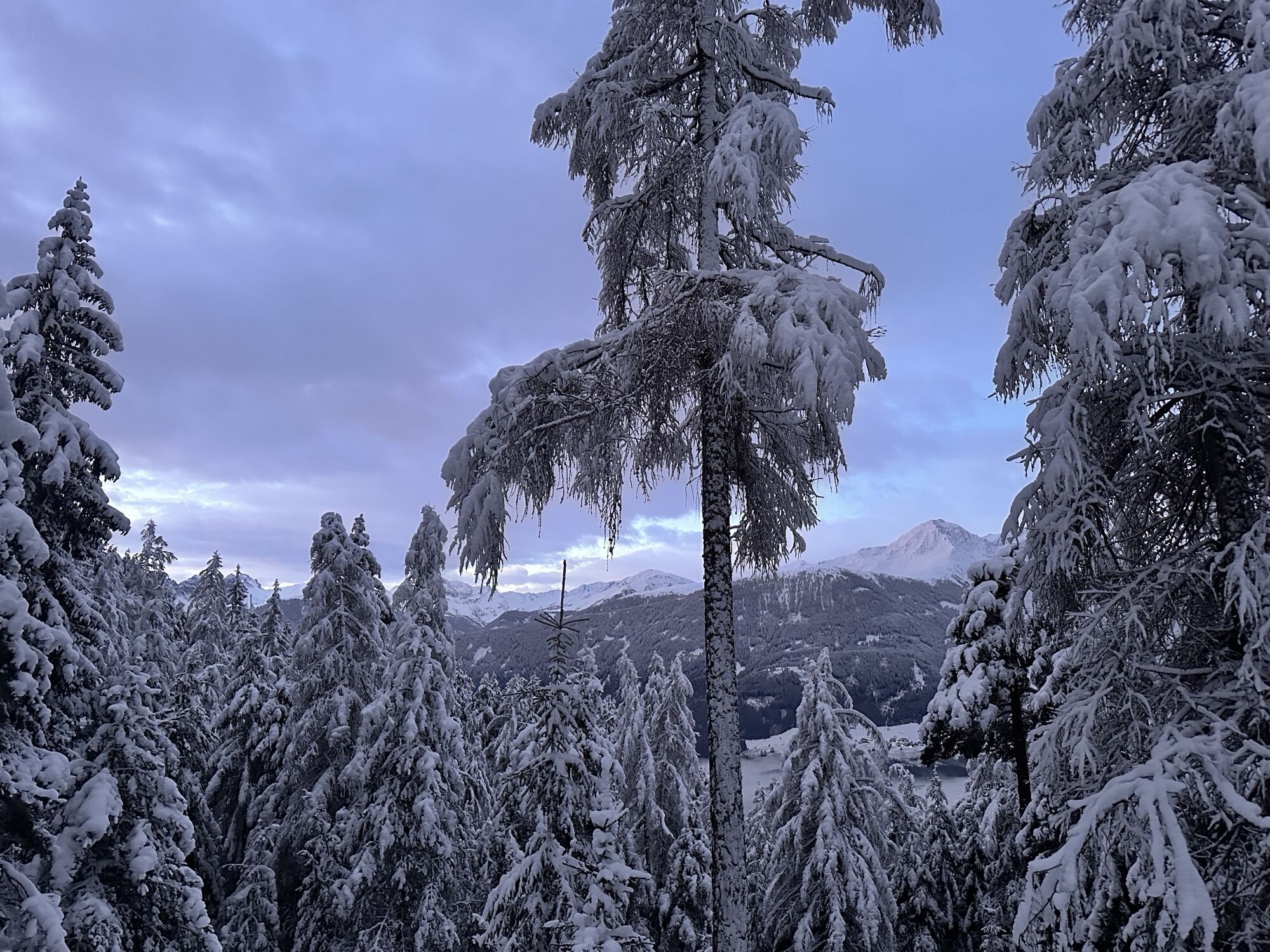
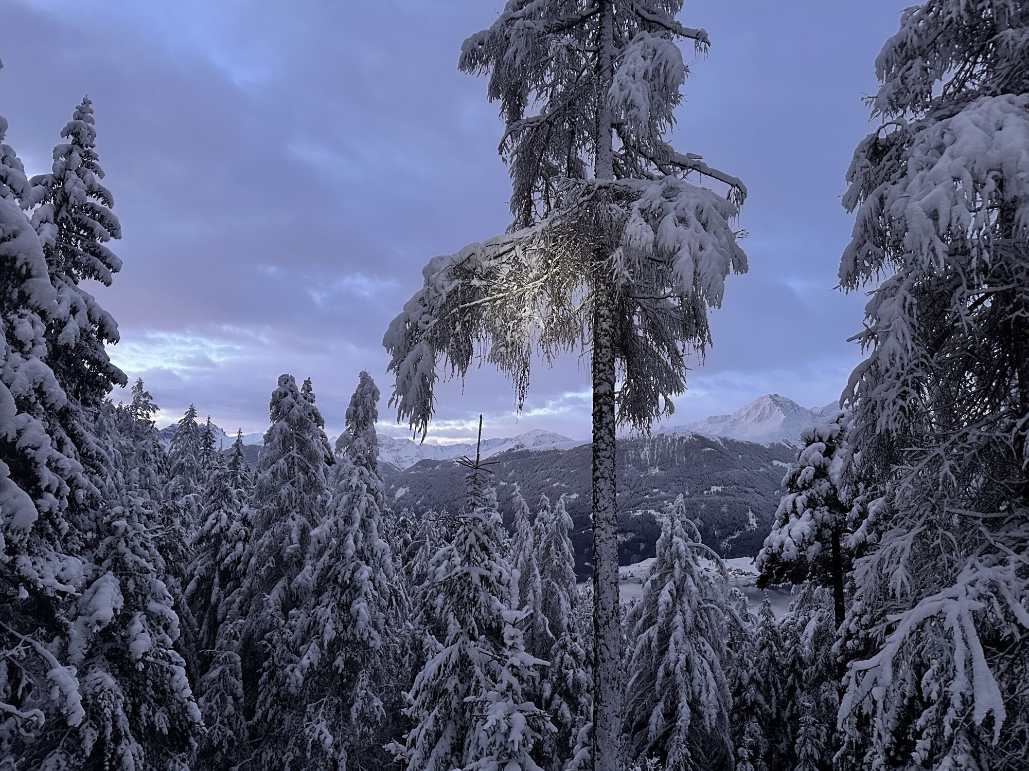
Fotos de nuestros usuarios
-

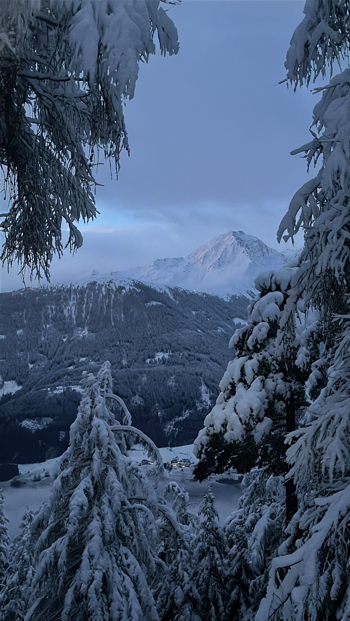
 © Isabell73Creado el 04.04.2025
 -
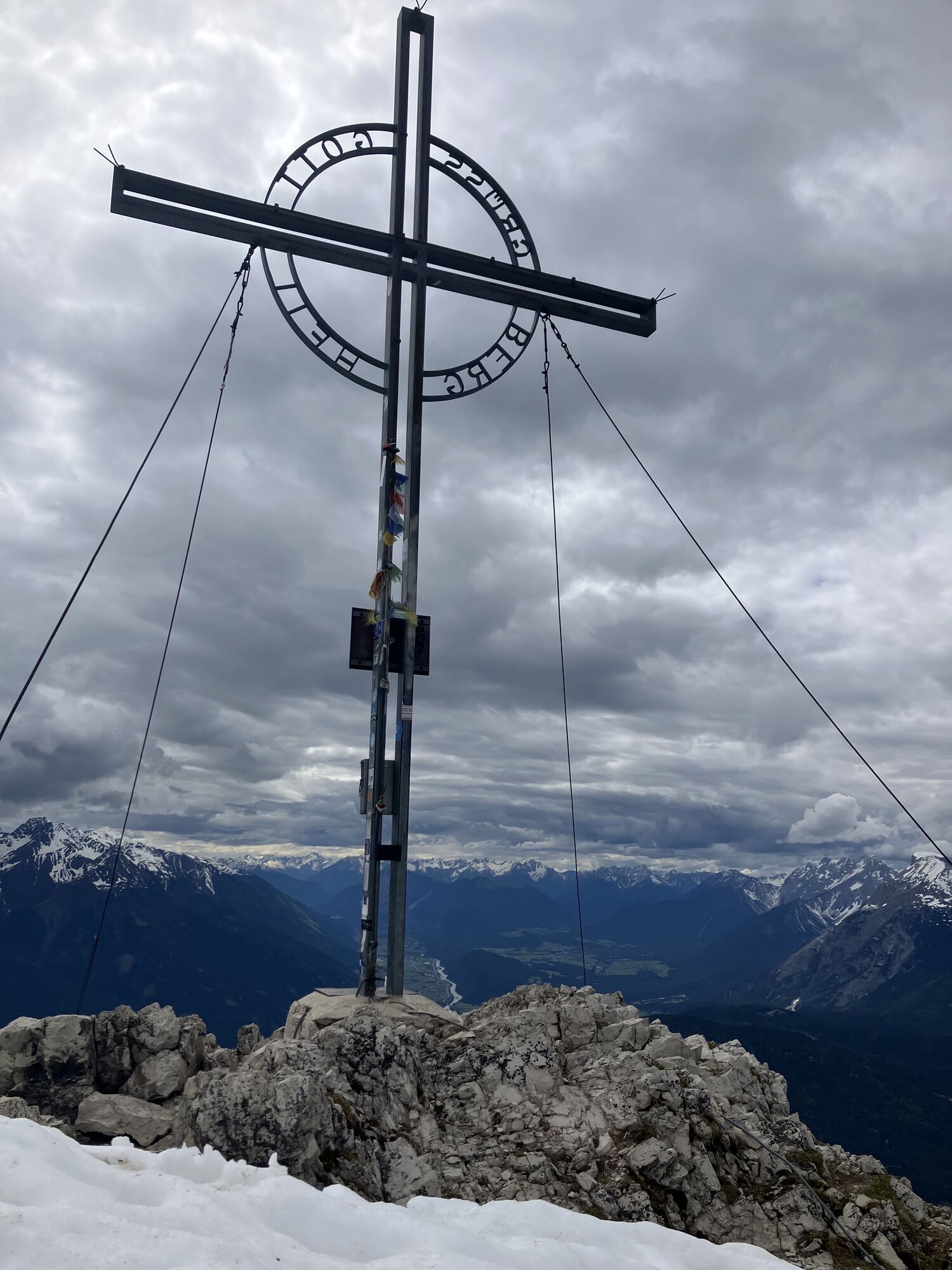
 © Christian schulzeCreado el 29.01.2025
 -
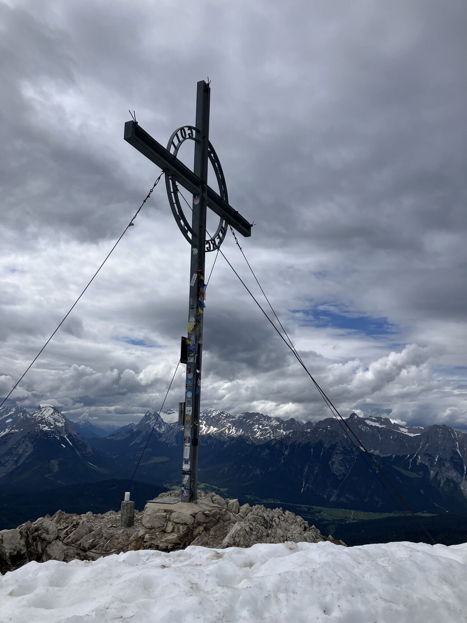
 © Christian schulzeCreado el 29.01.2025
 -
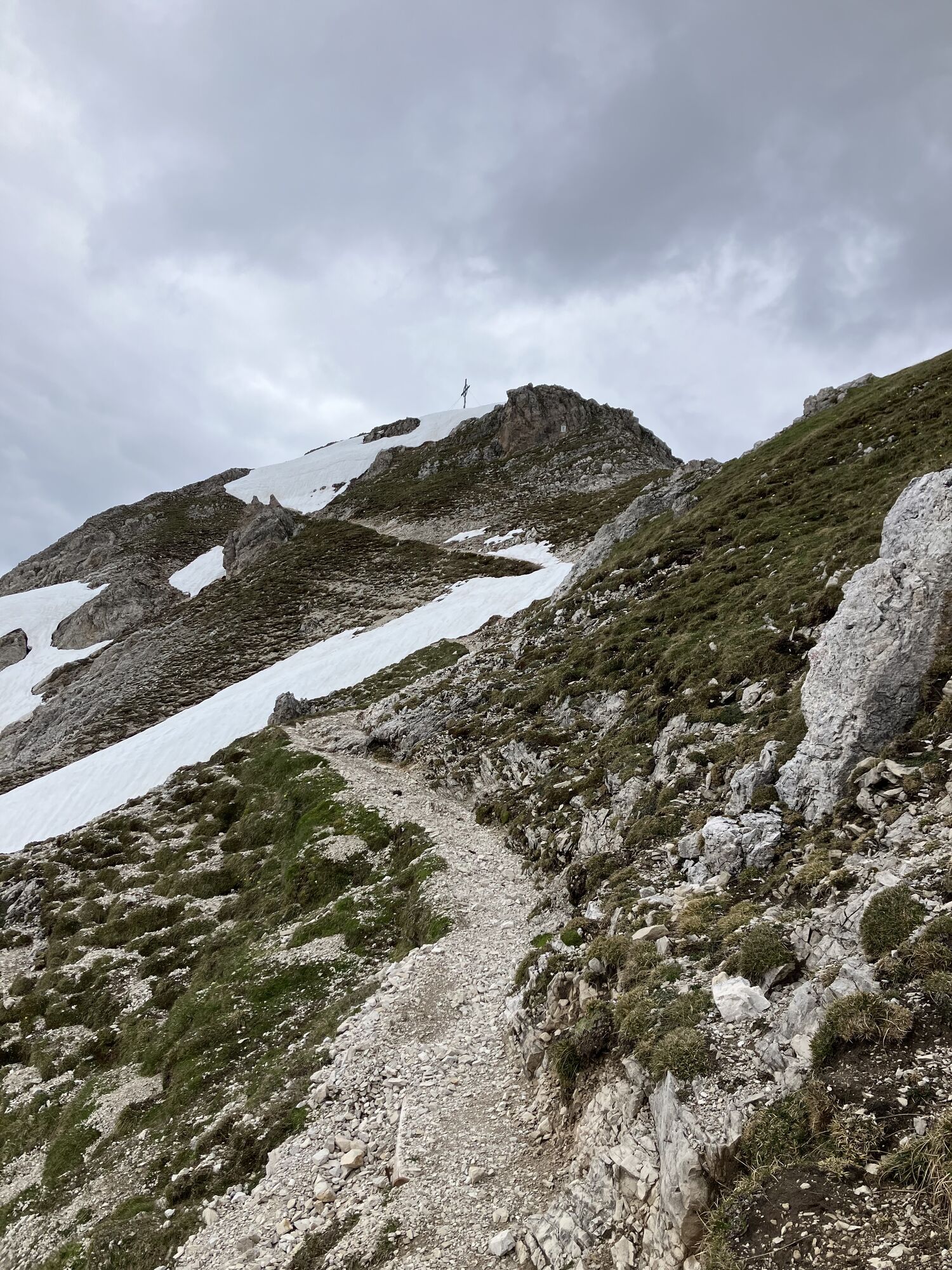
 © Christian schulzeCreado el 29.01.2025
 -
 © Christian schulzeCreado el 29.01.2025
 -
 © Christian schulzeCreado el 29.01.2025
 -
 © Christian schulzeCreado el 29.01.2025
 -
 © Christian schulzeCreado el 29.01.2025
 -
 © NEMO .Creado el 29.05.2024
 -
 © NEMO .Creado el 29.05.2024
 -
 © NEMO .Creado el 29.05.2024
 -
 © NEMO .Creado el 29.05.2024
 -
 © Astrid IlligCreado el 01.10.2022
 -
 © Astrid IlligCreado el 01.10.2022
 -
 © Astrid IlligCreado el 01.10.2022
 -
 © Astrid IlligCreado el 01.10.2022
 -
 © Astrid IlligCreado el 01.10.2022


Ruta
Kath. Pfarrkirche Mariahilf
(964 m)
Lugar de culto
0,1 km
Schlagsattel
(1.480 m)
Sillín de montaña
7,2 km
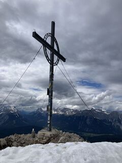
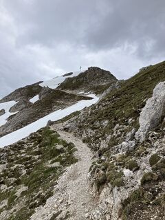
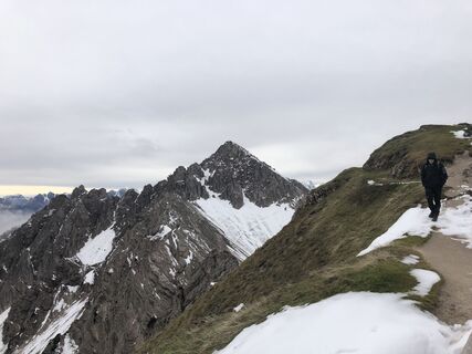
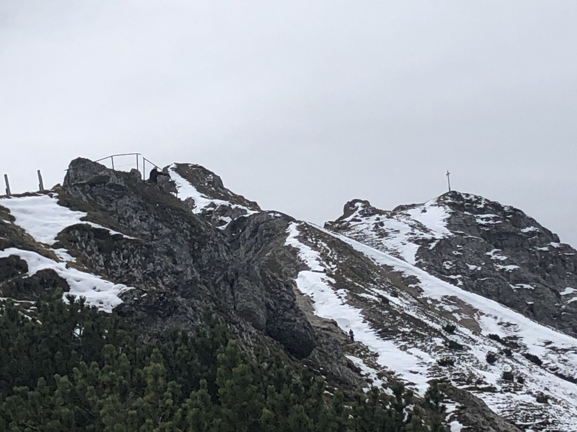
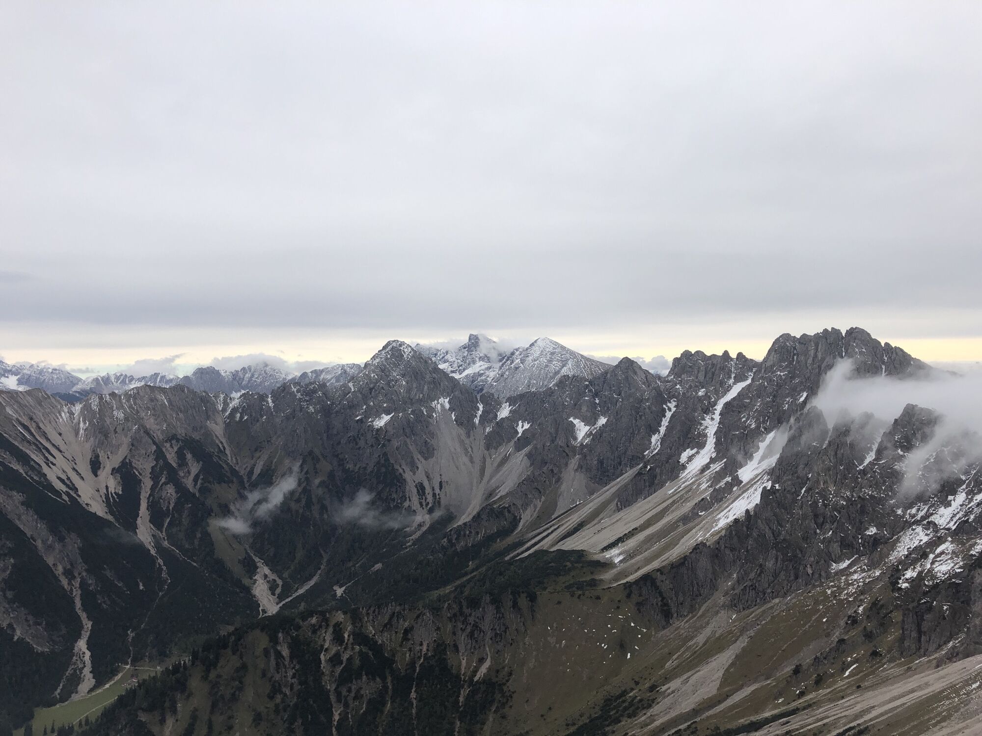
Reither Spitze
(2.374 m)
Cumbre
16,5 km
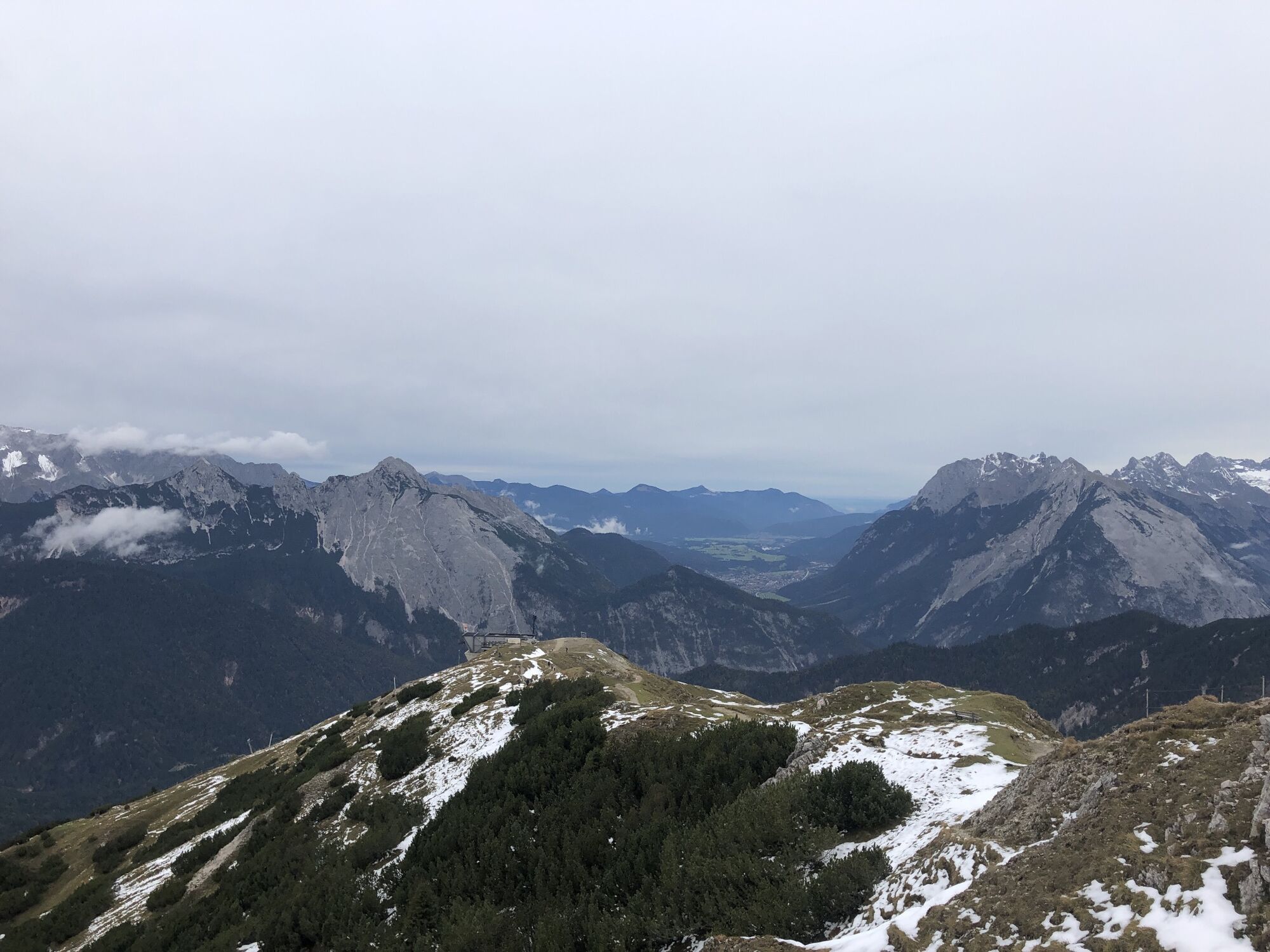
Kessel
(1.825 m)
Corredor/terreno
19,3 km
Pfarrkirche Hl. Nikolaus
(1.130 m)
Lugar de culto
22,3 km
Reith bei Seefeld
(1.130 m)
Pueblo
22,3 km
Pfarrkirche hl. Georg
(628 m)
Lugar de culto
27,2 km
Ruta
Scharnitz - Seefelder Spitze - Reither Spitze - Pfarrkirche hl. Georg
pesado
Senderismo
27,20
km
Bella Vista zum Kirchplatzl
(963 m)
Restaurante
0,0 km
Scharnitz
(964 m)
Pueblo
0,0 km
Kath. Pfarrkirche Mariahilf
(964 m)
Lugar de culto
0,1 km
Quelle Eppzirl 1-4
(1.135 m)
Fuente
4,3 km
Schlagsattel
(1.480 m)
Sillín de montaña
7,2 km
Luchsfalle
(1.882 m)
Corredor/terreno
10,2 km
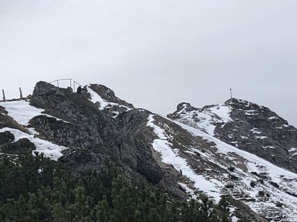
Seefelder Spitze
(2.221 m)
Cumbre
12,4 km
Reither Spitze
(2.374 m)
Cumbre
16,5 km
Nördlinger Hütte
(2.239 m)
Refugio
16,9 km
Kessel
(1.825 m)
Corredor/terreno
19,3 km
Hansl
(1.746 m)
Corredor/terreno
19,6 km
Oxenleger
(1.526 m)
Corredor/terreno
20,5 km
Stigl
(1.281 m)
Corredor/terreno
21,3 km
Lus-Mähder
(1.232 m)
Corredor/terreno
21,7 km
Pfarrkirche Hl. Nikolaus
(1.130 m)
Lugar de culto
22,3 km
Reith bei Seefeld
(1.130 m)
Pueblo
22,3 km
Leiblfing
(630 m)
Pueblo
27,0 km
Kriegergedächtniskapelle
(627 m)
Lugar de culto
27,2 km
Pfarrkirche hl. Georg
(628 m)
Lugar de culto
27,2 km
Autor
Proporcionado por Bergfex Tour Generator
Compartir gira
Scharnitz - Seefelder Spitze - Reither Spitze - Pfarrkirche hl. Georg
pesado
Senderismo
27,20
km
Error
Se ha producido un error. Por favor, inténtelo de nuevo.
Aún no hay opiniones
Rutas populares en los alrededores
-
4,2
"Königstour" über die Gipfel
Senderismo 4,52 km -
4,6
Leutaschklamm
luzSenderismo 4,55 km -
4,9
Gleirschklamm
medioSenderismo 15,4 km -
4,3
Große Klammrunde durch die Leutascher Geisterklamm mit Themenweg
medioSendero temático 3,17 km -
5,0
Hallerangerhaus
pesadoE-MTB 19,0 km -
5,0
Reitherspitz
medioSenderismo 6,03 km -
4,6
Kranzbergrunde 1 (ab Talstation Sessellift)
luzSenderismo 11,0 km -
5,0
Ehnbachklamm und Kaiser MaxGrotte, Zirl, Tirol/Österreich
pesadoExcursión de alta montaña 6,30 km -
4,8
Seegrube
medioSenderismo 4,03 km -
5,0
Wanderung zur Rauthhütte und Zugsptizblick
medioSenderismo 6,20 km
Senderismo y rastreo

Más de 550.000 sugerencias de excursiones, mapas detallados y un intuitivo planificador de rutas hacen de esta aplicación una herramienta imprescindible para todos los amantes de la naturaleza.

No se pierda las ofertas y la inspiración para sus próximas vacaciones
Suscribirse al boletín de noticias
Error
Se ha producido un error. Por favor, inténtelo de nuevo.
Gracias por inscribirse
Su dirección de correo electrónico se ha añadido a la lista de correo.
Viajes por Europa
Austria
Suiza
Alemania
Italia
Eslovenia
Francia
Países Bajos
Belgium
Polonia
Liechtenstein
República Checa
Slovakia
España
Croacia
Bosnia y Herzegovina
Luxemburgo
Andorra
Portugal
Iceland
United Kingdom
Ireland
Greece
Albania
North Macedonia
Malta
Norway
Montenegro
Moldova
Kosovo
Hungary
San Marino
Romania
Estonia
Latvia
Belarus
Cyprus
Lithuania
Serbia
Bulgaria
Monaco
Denmark
Sweden
Finland