


Goisele


Fotos de nuestros usuarios
-
 © Sven ReiterCreado el 09.10.2025
 -
 © Sven ReiterCreado el 09.10.2025
 -
 © Sven ReiterCreado el 09.10.2025
 -
 © Sven ReiterCreado el 09.10.2025
 -
 © Sven ReiterCreado el 09.10.2025
 -
 © Sven ReiterCreado el 09.10.2025
 -
 © Sven ReiterCreado el 09.10.2025
 -
 © Sven ReiterCreado el 09.10.2025
 -
 © Sven ReiterCreado el 09.10.2025
 -
 © Florian DürneggerCreado el 22.06.2025
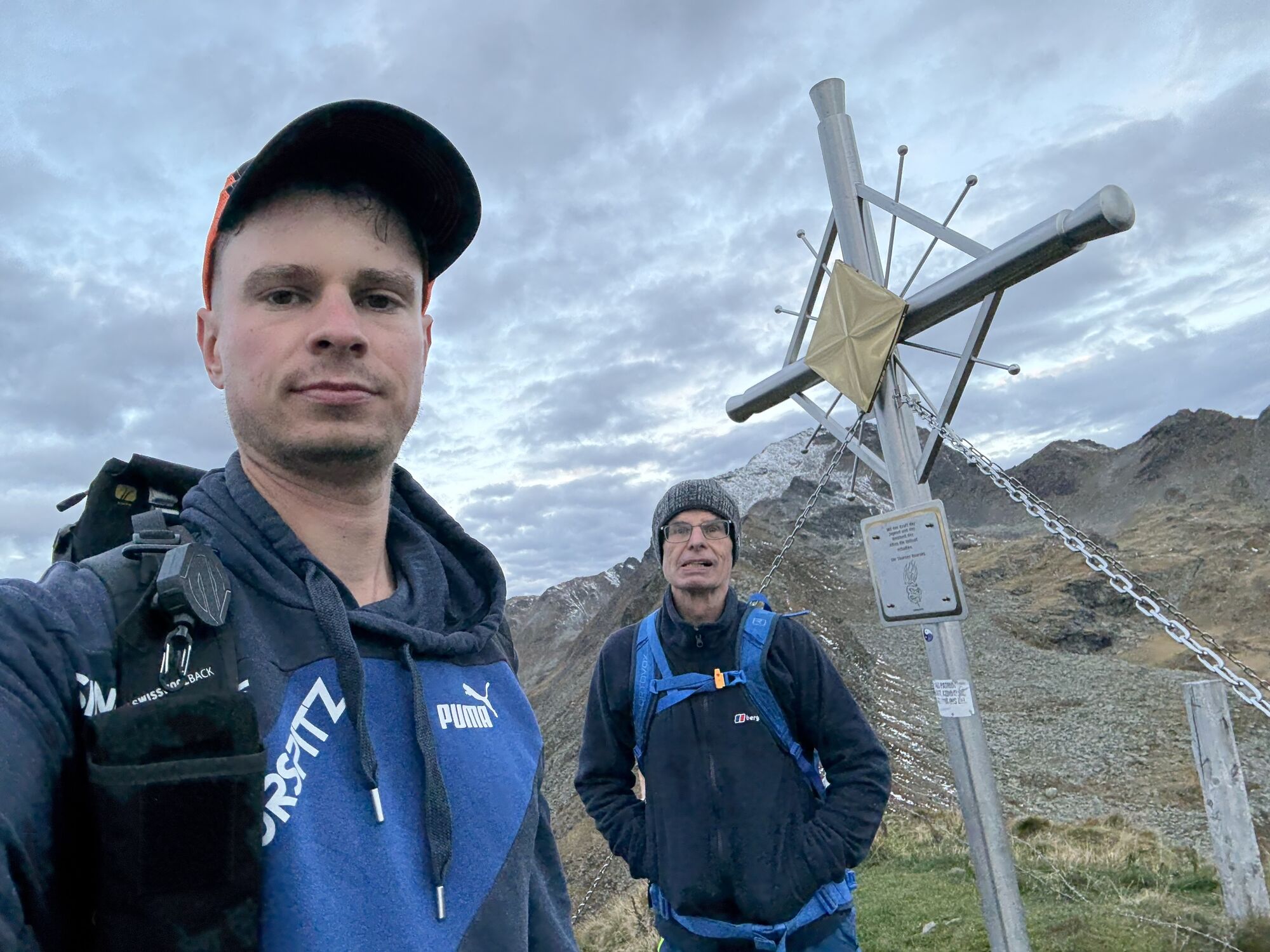


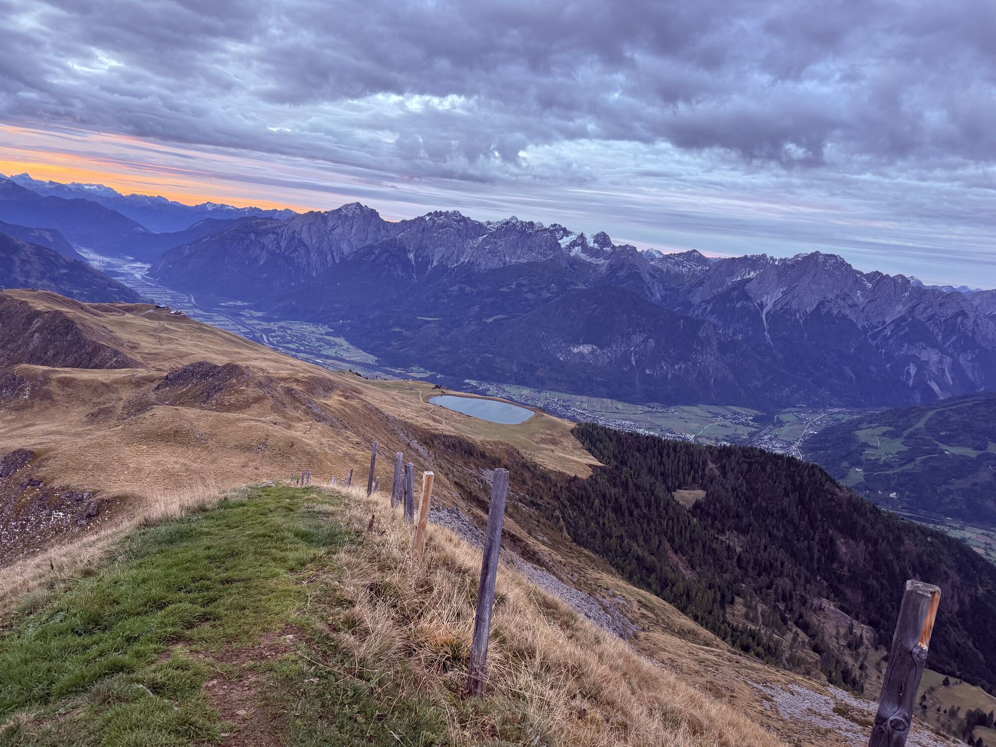

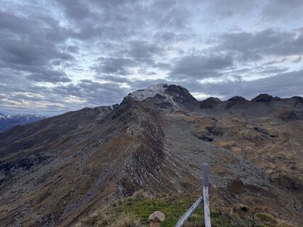
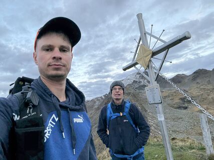
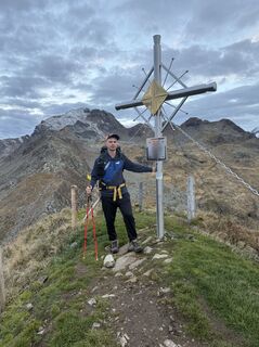
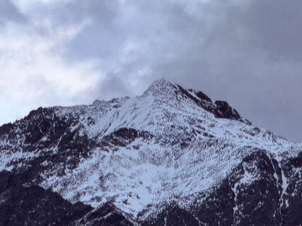
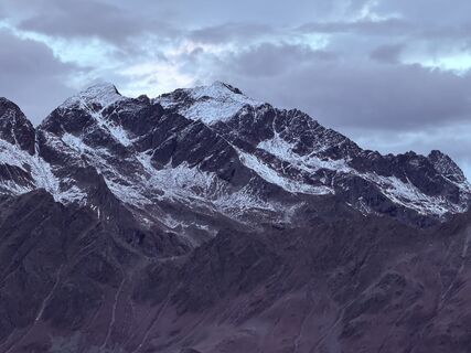
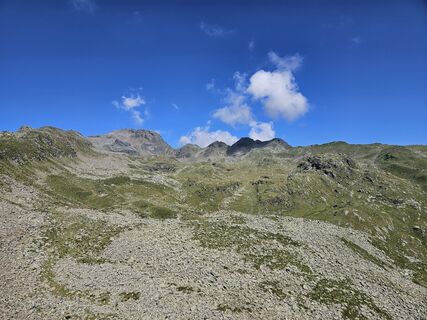
The Goiselemandl, also shortened to Goißele by the locals, is a little snow pyramid at the north-west end of Lienz’s sunny ski area, Zettersfeld. In terms of ski touring technique the ascent is no more...
The Goiselemandl, also shortened to Goißele by the locals, is a little snow pyramid at the north-west end of Lienz’s sunny ski area, Zettersfeld. In terms of ski touring technique the ascent is no more than a ski hike, even if there are a few hairpin bends on the somewhat ascending summit ridge. The descent on the east side into neighbouring Debanttal reckons on you having appropriate top-class conditions. Avalanche safety and an option of heading back at the so-called ‘Säge’ (1170 m) are required, and it is here that our descent variant finishes. It is also possible for the very fit to walk via a not-too-short goods trail (Hochstubenweg) back to Faschingalmstraße and to the Naturfreunde Hütte, where you enter the eastern end of the ski area.
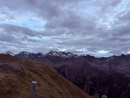
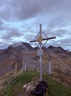
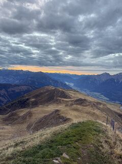
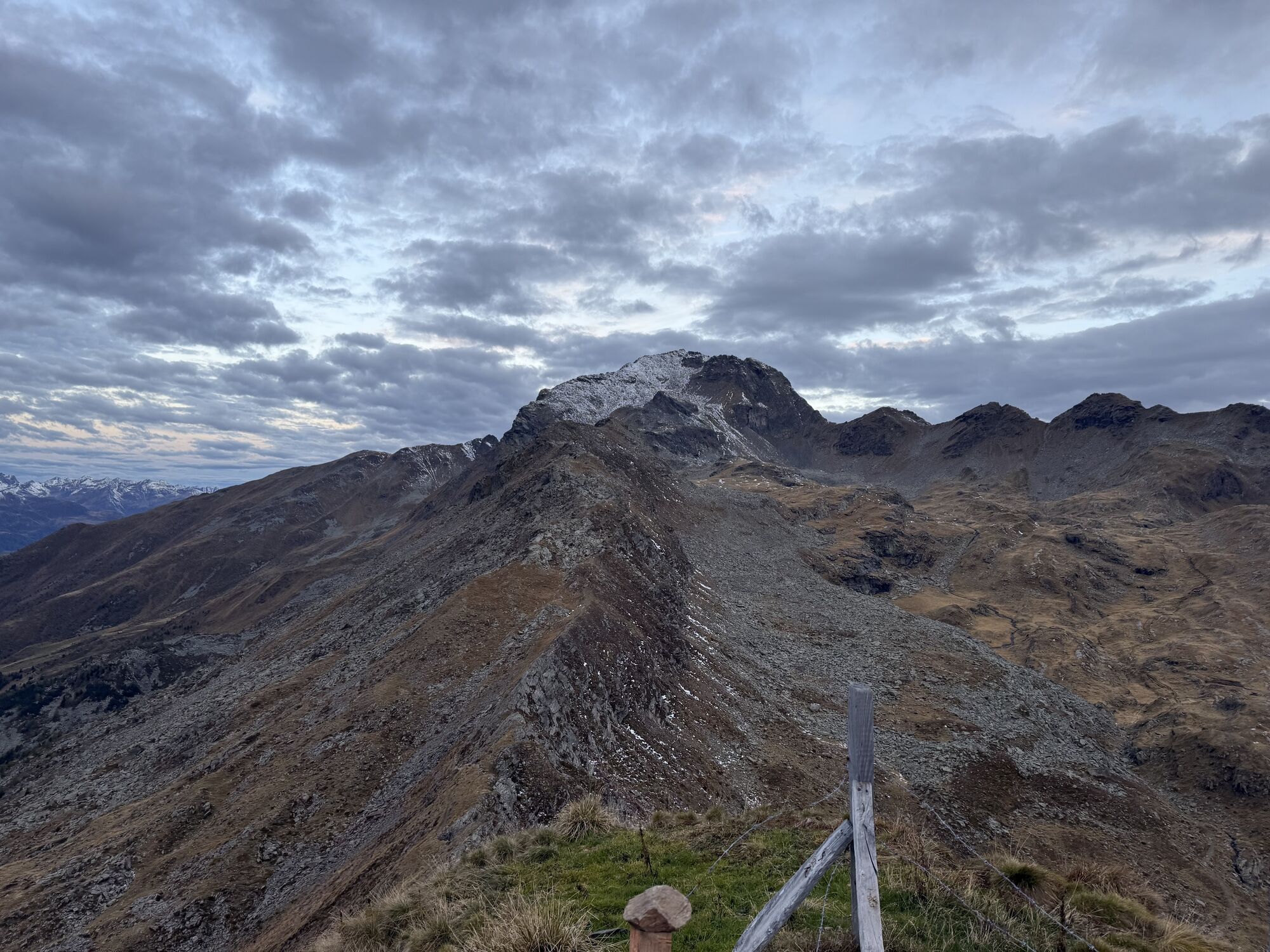
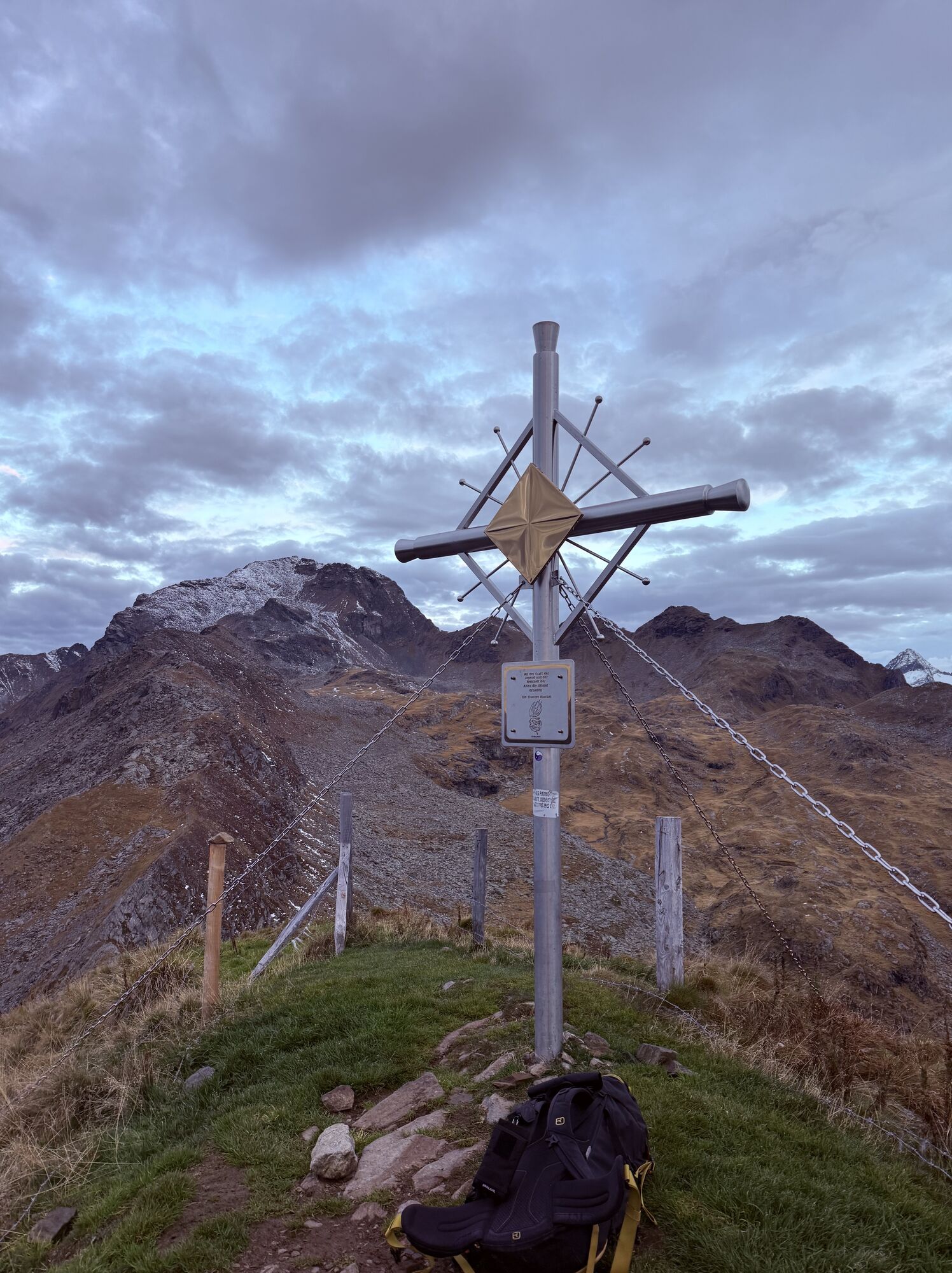
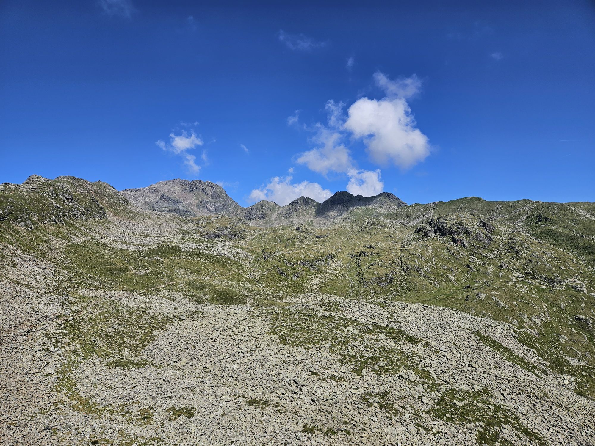
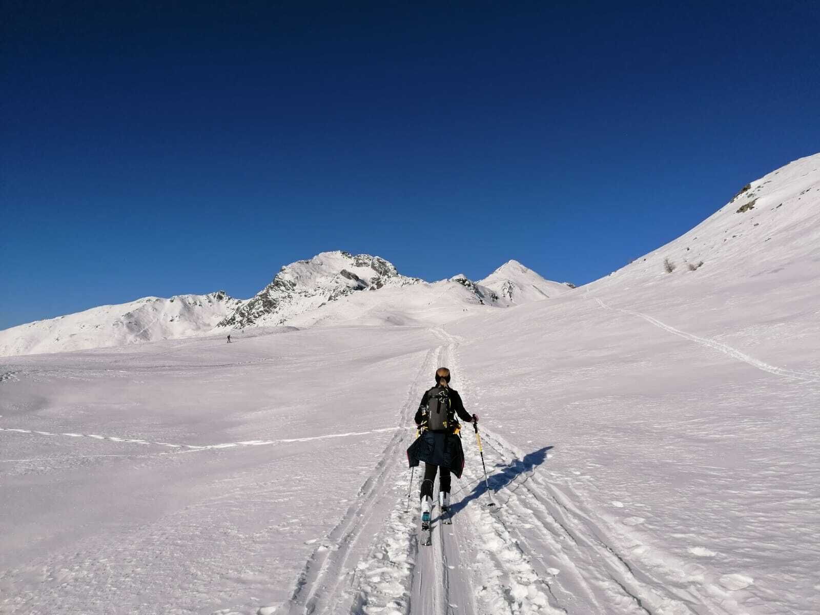
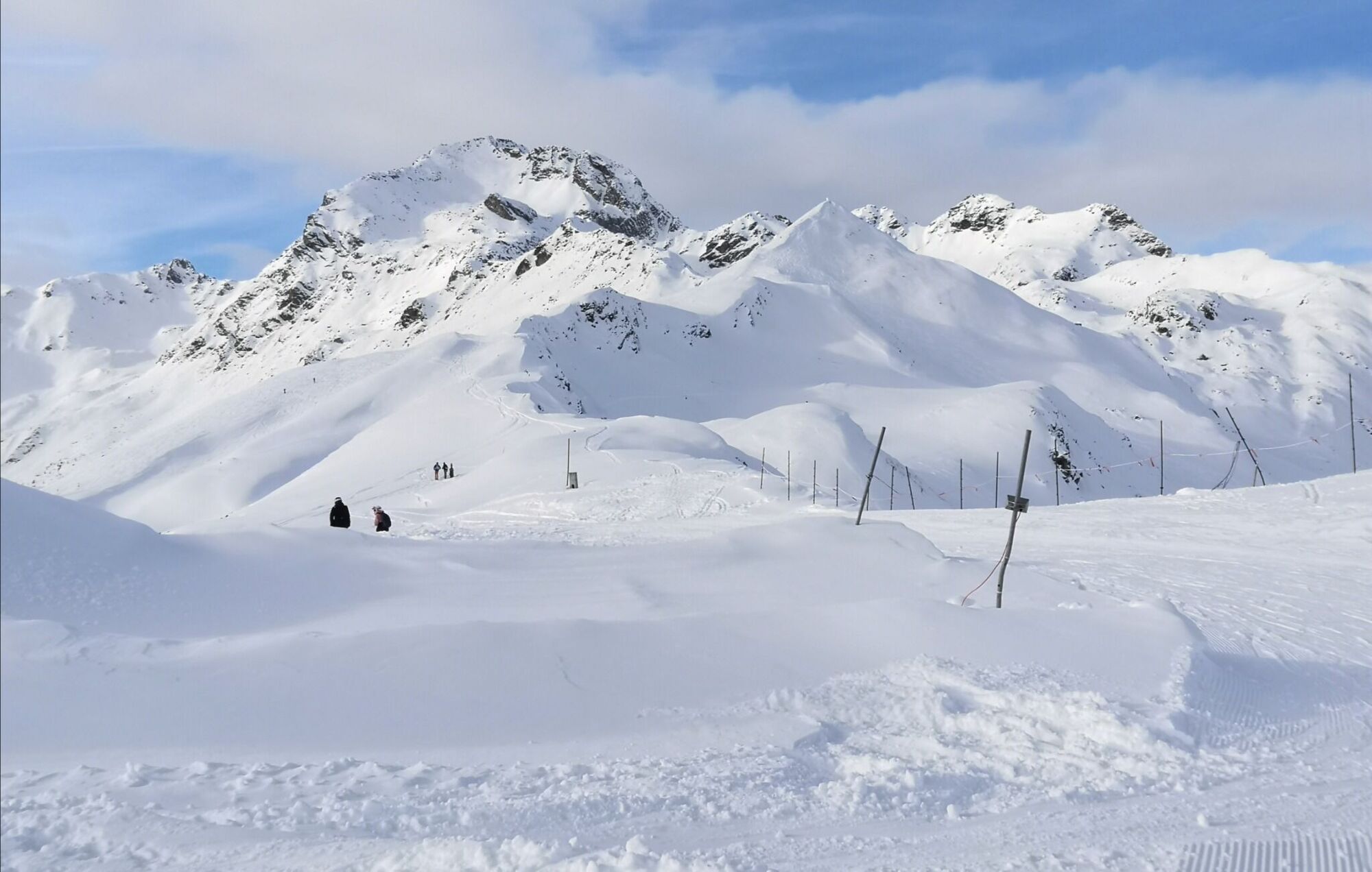
There are several starting points when it comes to climbing the Goißele. The shortest proceeds from the mountain station for the Steinermandl chairlift (2200 m) across the piste heading north- west and reaches the ridge in a dip (wooden signpost), 300 metres to the north west of the mountain station for the Schoberköpfl T-bar lift (2281 m). Those of you who prefer things to be really leisurely can of course also ascend via the T-bar lift to the Schoberköpfl and, descending slightly initially, cross the dip to the north west. A more leisurely, somewhat quieter ascent proceeds from the peak of the ‘Thurner-Zettersfeldstraße’ (1880 m) via the tranquil Rottmann ski route (No. 13) to the Schoberköpfl and branches off just before Lifthüttl across troughs to the summit ridge of the Goißele. Quite a number of ski tracks now lead us obviously from the aforementioned enclosed basin along the wide ridge, up and down slightly, in a north-westerly direction to the destination of our tour which has a lovely metal cross. The ski tour to the Schleinitz uses the trough to the east side beneath the Goißele, but we disregard it. The descent into Debanttal proceeds through the eastern flank which is a bit steep initially (>30°), before heading into gentle terrain and opens up several variants. One heads in a long left loop (north-east) to Wellalm (steeper), before after glades and the route crossings of the aforementioned Hochstubenweg and in further consequence the bottom of the Debanttal is tackled. From there, after crossing a river at skating pace, head to the start of the asphalt road at the ‘Säge’. Those who are heading east to the Seewiesenalm (1996 m) can ascend back into the ski area again there, which yields a nice circular tour, or continue into Debanttal via Kuchlmairalm.
Additional ski tour tips can be obtained in the ski tour guides by Thomas Mariacher. These are available here: http://www.grafikzloebl.at/verlag/buecher/
Coming from Lienz, drive in the direction of Debant. Turn off after Nußdorf and continue into the Debant valley until you reach the "Säge".
Rutas populares en los alrededores
-
4,7
Glödis 3206m: PP Seichenbrunn, Lienzer Hütte, Glödis KS A/B
pesadoExcursión de alta montaña 16,1 km -
4,8
Lienzer Dolomiten-Lasertörl
medioSenderismo 13,2 km -
4,1
De Gradental a la cabaña Adolf Nossberger - recorrido circular
medioSenderismo 11,1 km -
5,0
Recorrido Ederplan desde el aparcamiento de Stronach
medioSenderismo 7,19 km -
4,8
Caminata a la Wangenitzseehütte
medioSenderismo 13,9 km -
5,0
Caminata panorámica Glocknerblick-Asten
luzSenderismo 7,09 km -
4,7
Anna Schutzhaus am Ederplan
medioSenderismo 2,76 km -
4,8
Elberfelderhütte – lagos Langtal - ruta circular
medioSenderismo 27,0 km -
4,7
La cascada Gartlwasserfall cerca de Großkirchheim
luzSenderismo 2,46 km -
4,8
Böses Weibele - Pustertaler Höhenweg
medioSenderismo 13,2 km
Senderismo y rastreo


No se pierda las ofertas y la inspiración para sus próximas vacaciones
Su dirección de correo electrónico se ha añadido a la lista de correo.