


Ötztal Cycling Path Stage 4: Längenfeld - Sölden


Fotos de nuestros usuarios
-
 © DIIMCreado el 13.10.2022
 -
 © Marcel ZurkirchenCreado el 10.07.2025
 -
 © Marcel ZurkirchenCreado el 10.07.2025
 -
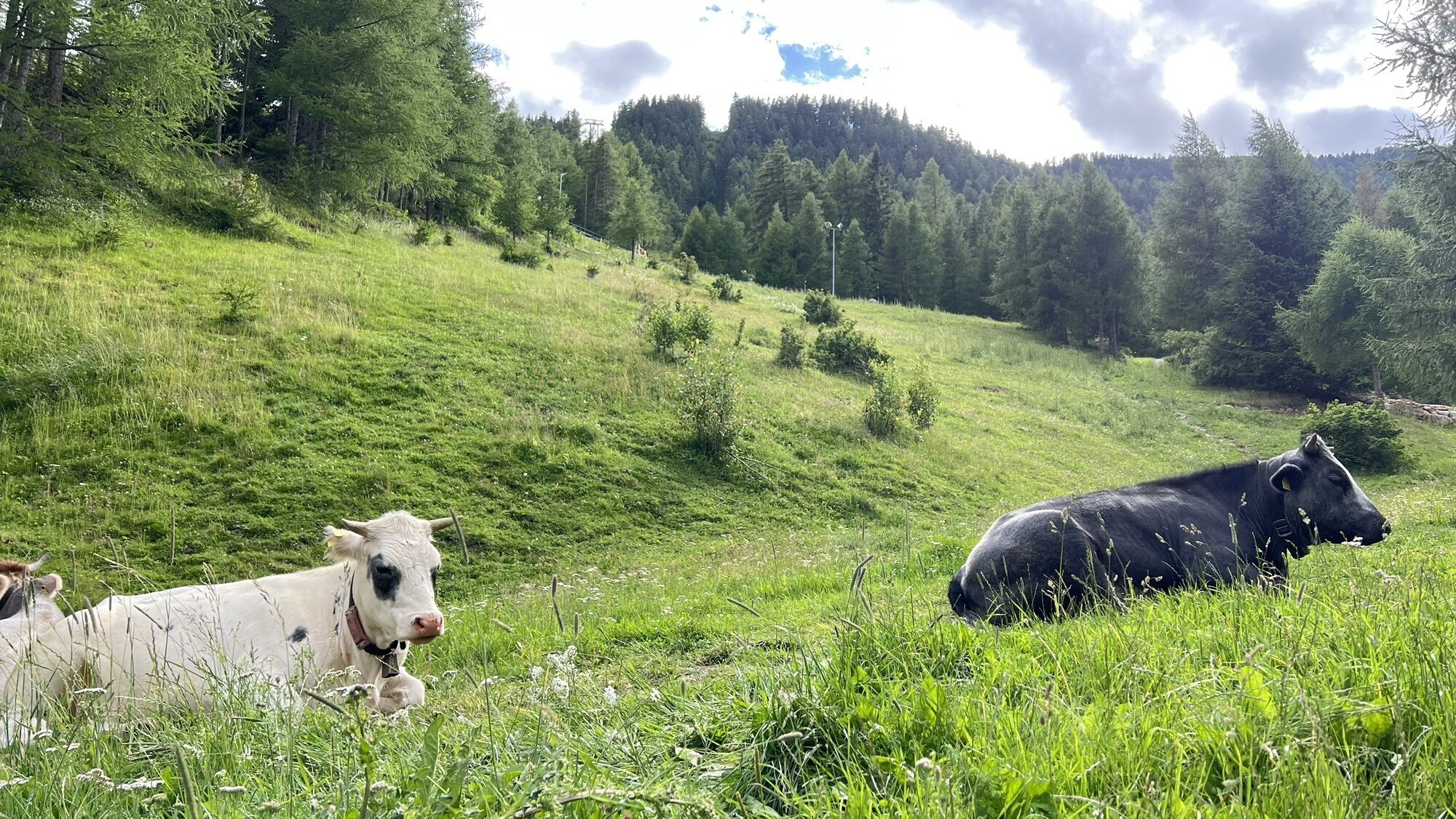
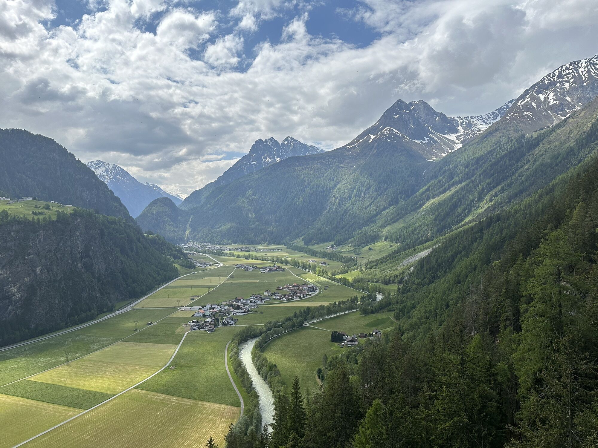
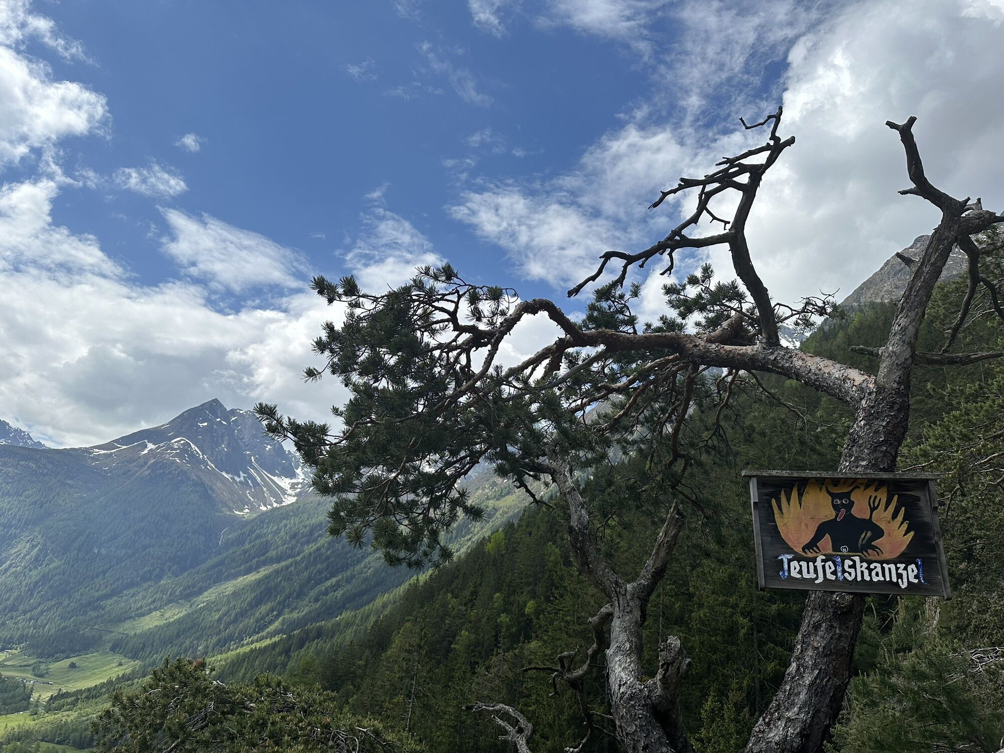
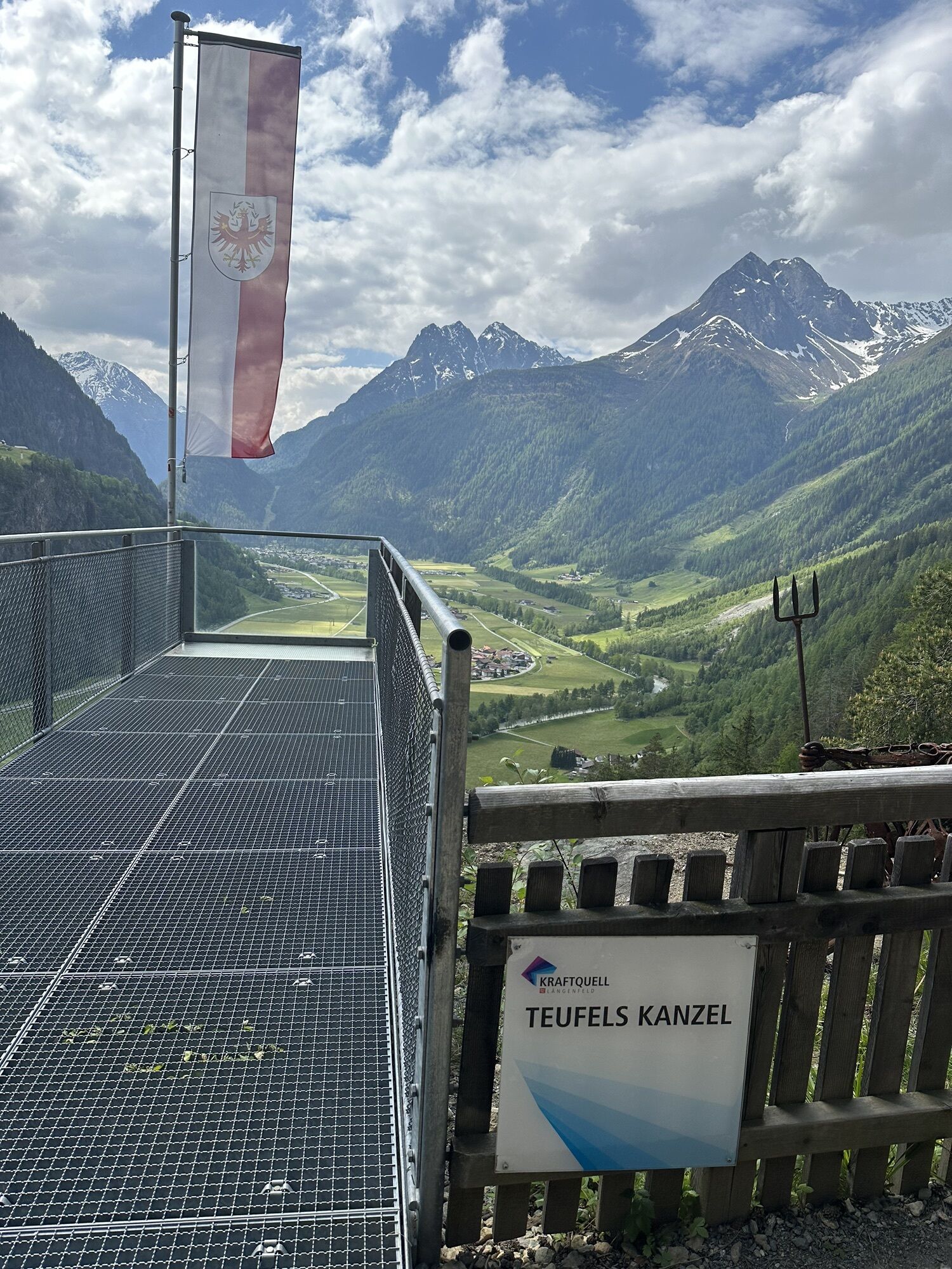
 © Kasch0Creado el 01.06.2023
 -
 © Kasch0Creado el 01.06.2023
 -
 © Kasch0Creado el 01.06.2023
 -
 © Kasch0Creado el 01.06.2023
 -
 © Tatjana SchmidtCreado el 19.10.2022
 -
 © Tatjana SchmidtCreado el 19.10.2022
 -
 © DIIMCreado el 13.10.2022
 -
 © DIIMCreado el 13.10.2022
 -
 © DIIMCreado el 13.10.2022
 -
 © DIIMCreado el 13.10.2022
 -
 © DIIMCreado el 13.10.2022
 -
 © DIIMCreado el 13.10.2022

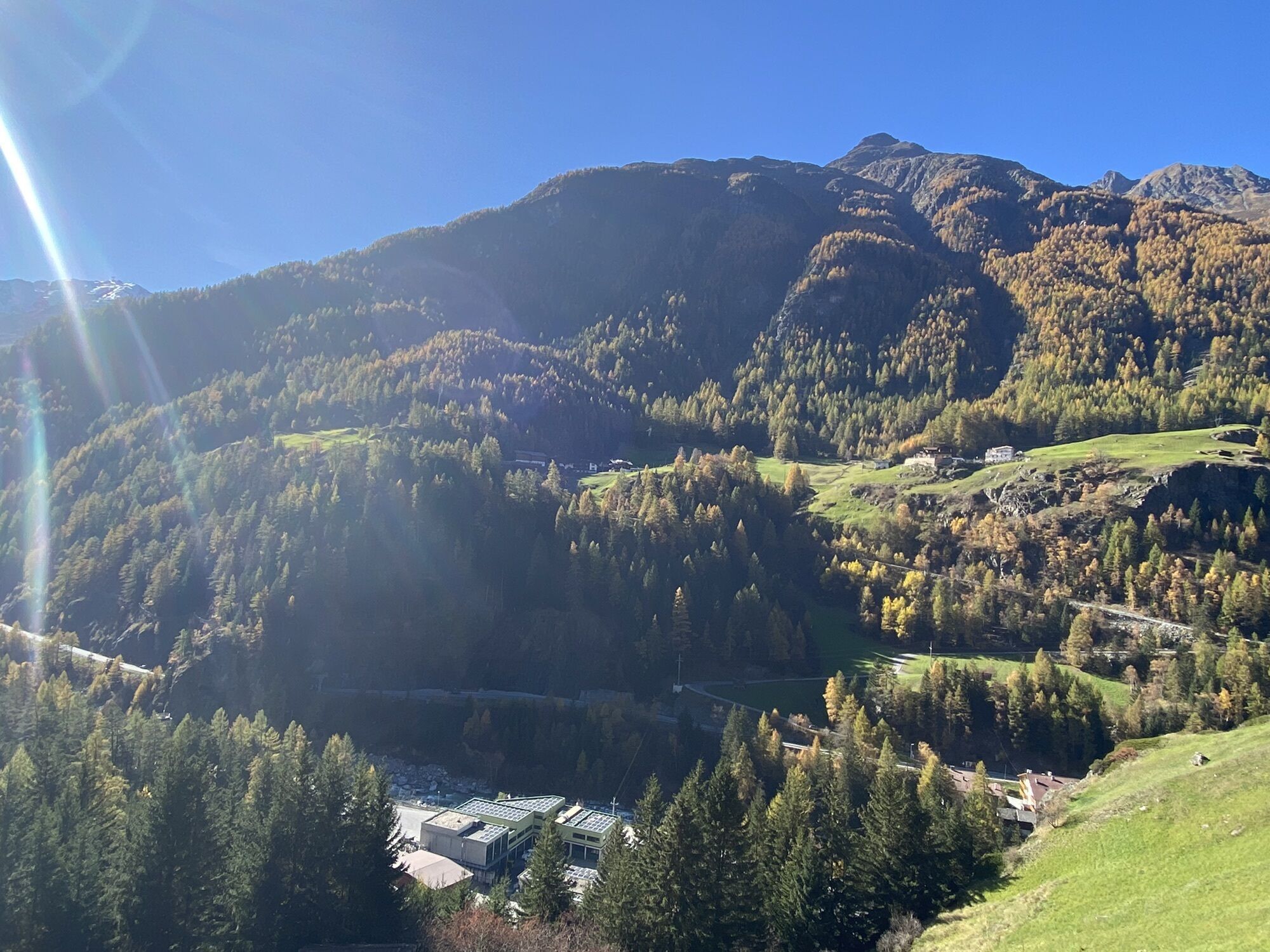
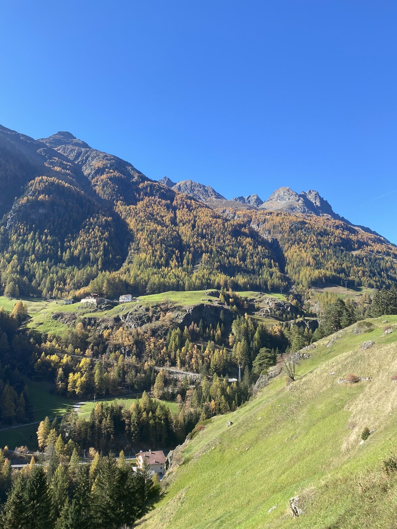

It has almost no change in altitude and runs through small hamlets on asphalt and gravel trails. Leaving behind Huben, the bike trail crosses the federal road again and runs parallel until you reach the...
It has almost no change in altitude and runs through small hamlets on asphalt and gravel trails. Leaving behind Huben, the bike trail crosses the federal road again and runs parallel until you reach the hamlet of Bruggen. Here you cross the federal road for the last time. In Aschbach the path leads over a bridge, then uphill and slightly sloping down to the next bridge overpass. Keep to the east at the next fork-off and do NOT ride towards the Dog Pension but downhill to the valley floor where a bridge crosses the river. The last part of the Ötztal Cycle Trail takes you on the eastern shore of Ötztaler Ache to the village of Sölden.

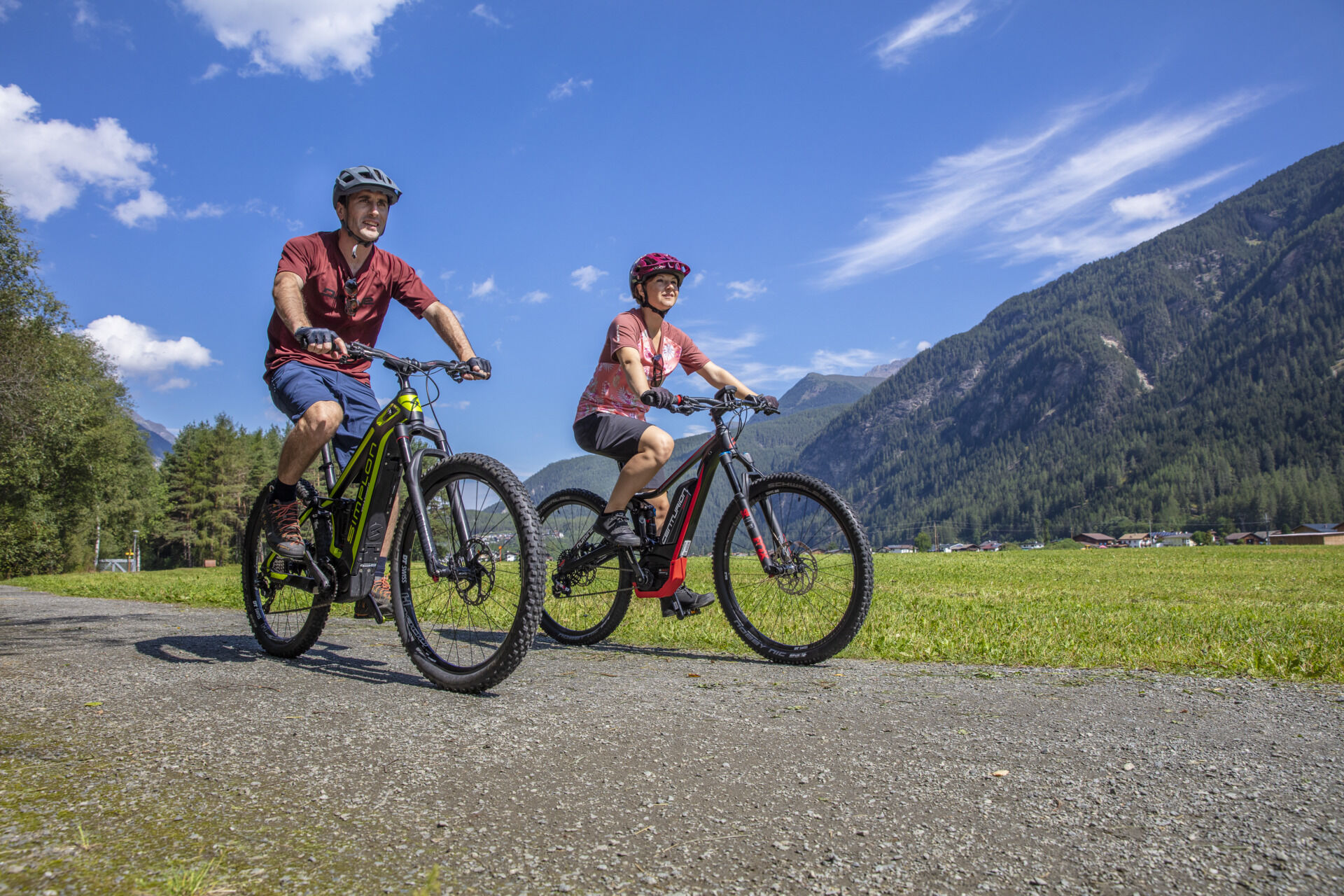
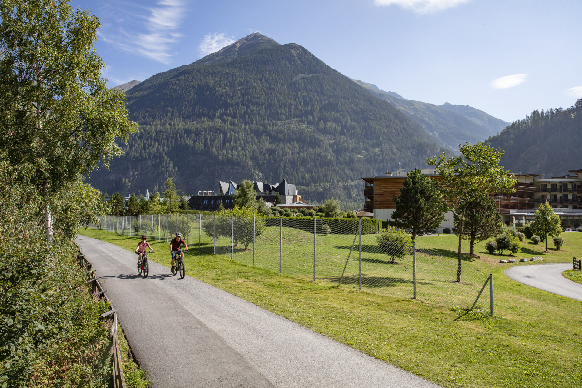
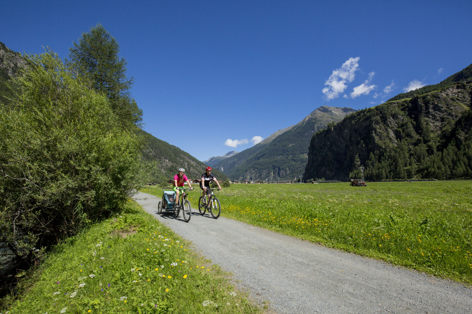

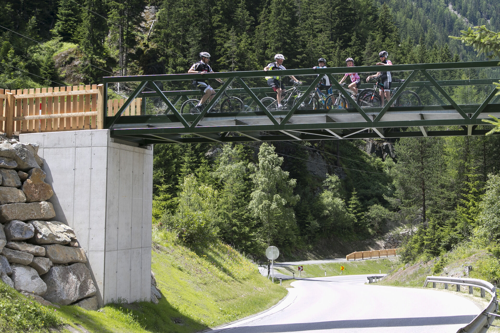
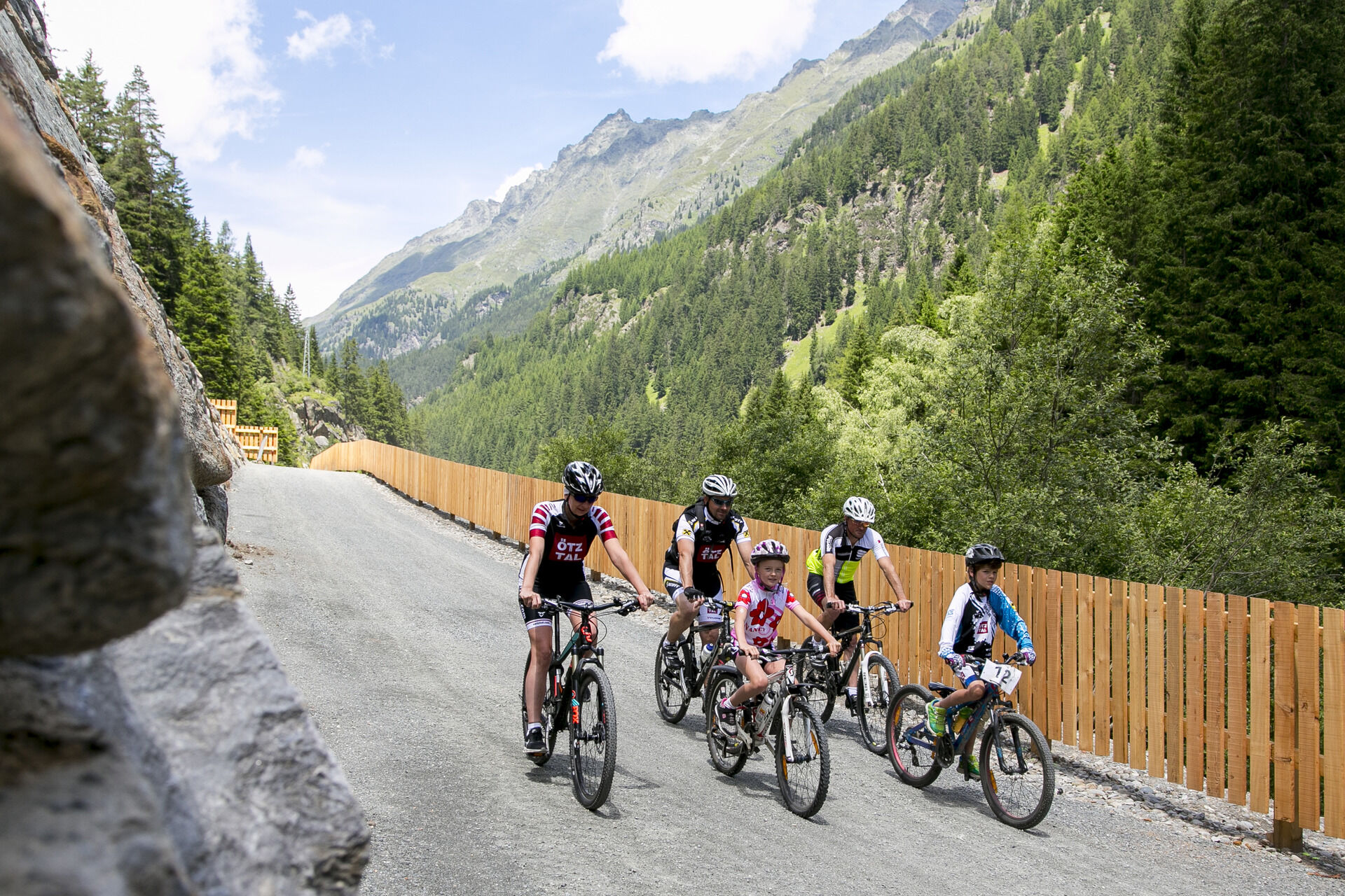
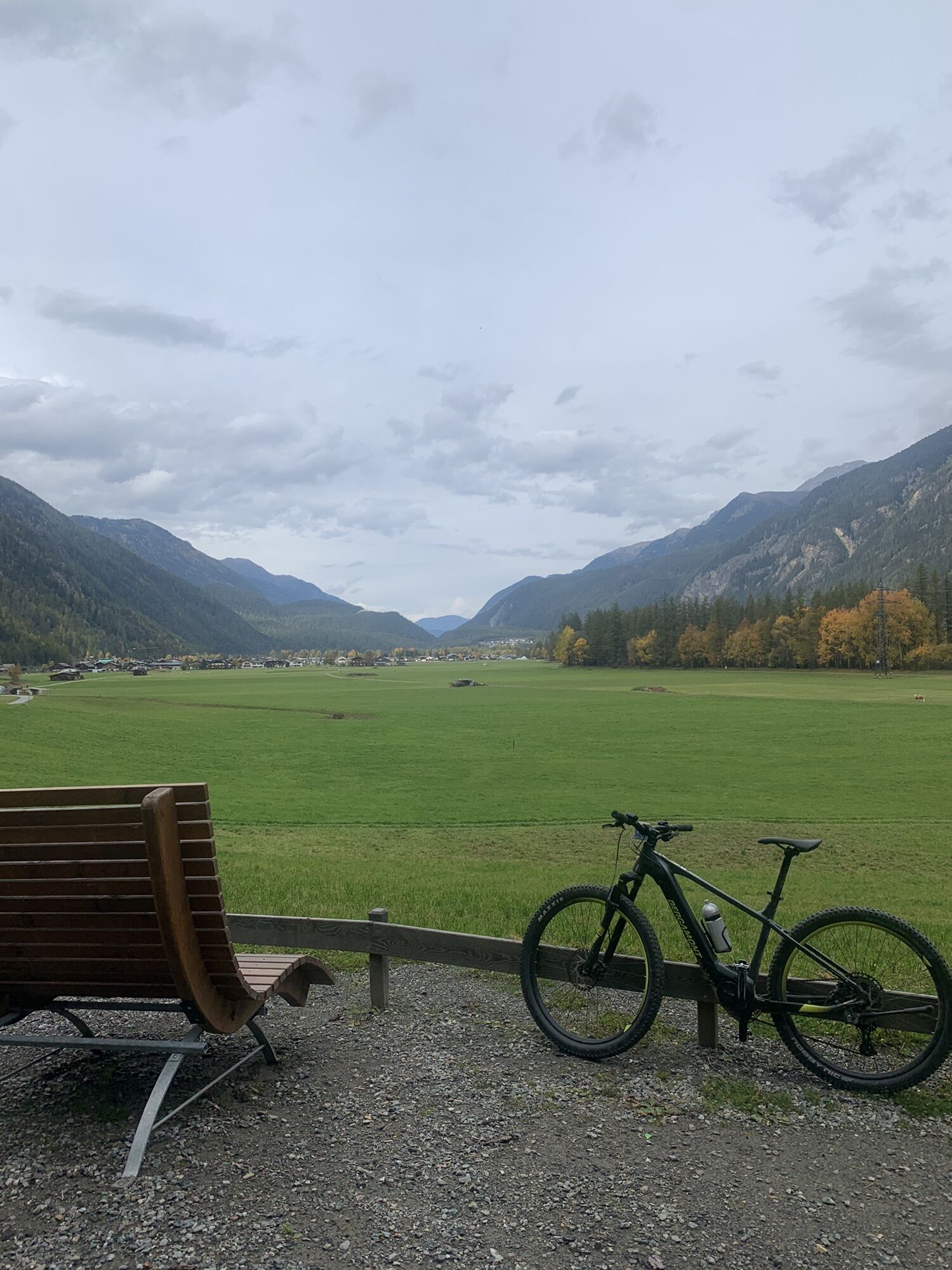
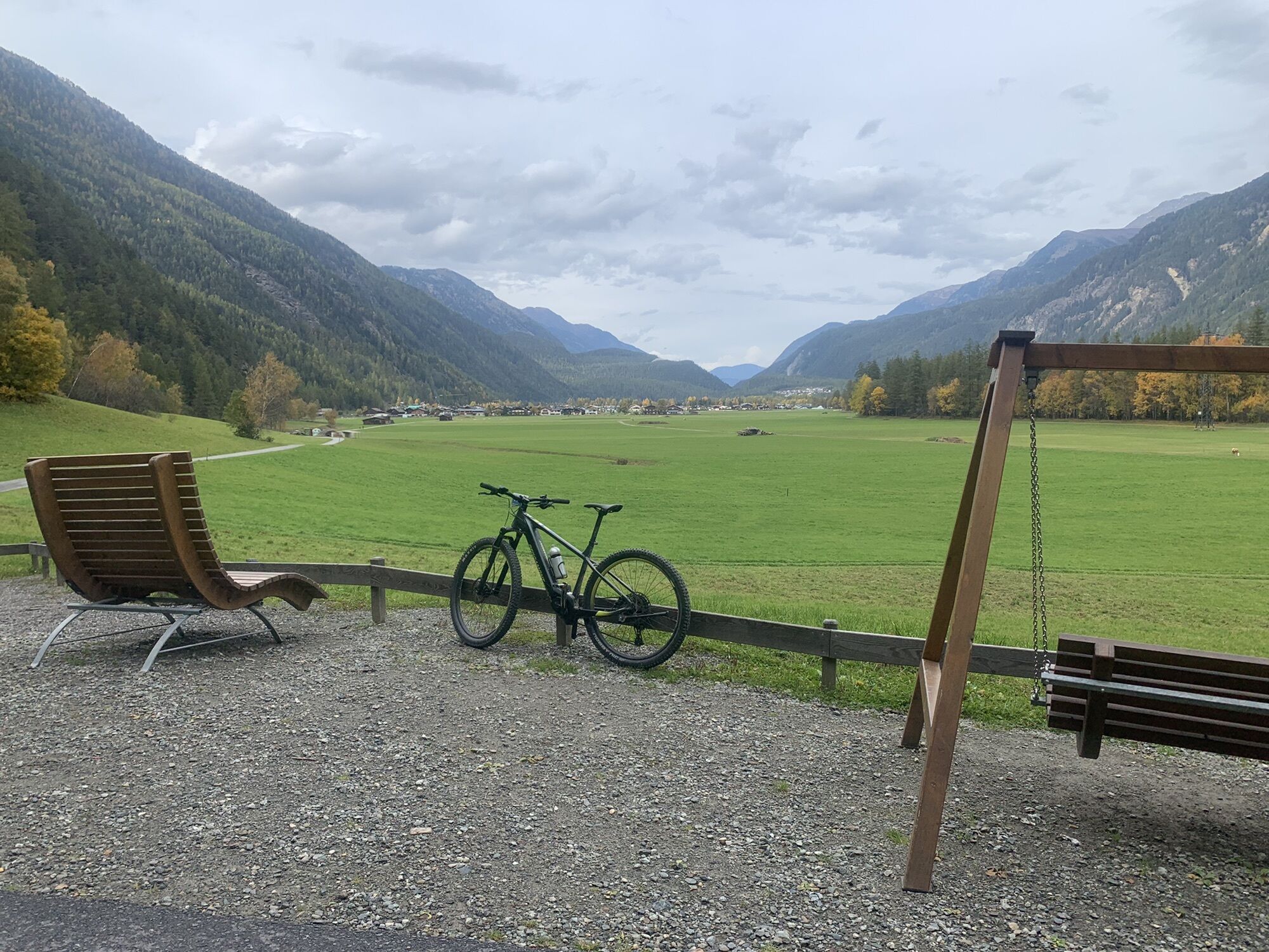
The final stage of the Ötztal Cycle Path starts at the sports field in Längenfeld. At the end of the road, turn left into a small forested area. Following the paved path parallel to the Ötztaler Ache, you ride further into the valley. Soon, you pass the 22,000 m² thermal spa, the Aqua Dome. Immediately after the spa, turn left first, then keep right. Here, you cycle comfortably through wide meadows and the hamlets of Astlehn and Runhof. In Runhof, turn right and cross the Ötztaler Ache. At the end of the path, keep left and ride through the hamlet of Gottsgut. Shortly afterward, you reach the Ötztal Fun Park, where various attractions, such as a trampoline park, invite adventurers of all ages to take a break. Passing the Ötztal Fun Park, the cycle path continues straight ahead into the village of Huben. At the end of Huben, you cross the Ötztaler Ache again and turn right onto a gravel path before reaching the main road. An underpass takes you to the other side of the street. From there, a forest path leads to Winkle. Riding past the campsite, you continue into the next hamlet, Bruggen. At the end of Bruggen, take the underpass to cross the main road again and follow the valley path into Aschbach. In Aschbach, cross a cycling bridge and continue along a wide forest path parallel to the Ötztaler Bundesstraße. The route then climbs gently through a forested section before a slight descent leads to the next bridge crossing.At the fork after the overpass, keep left and follow the path down to the valley floor, where another bridge crosses the Ötztaler Ache. Continuing along this path, you cycle through the large hamlets of Sölden—Kaisers, Schmiedhof, and Rechenau—before finally reaching the end of the Ötztal Cycle Path. The route concludes at the Ötztal Tourism Information Center, located in the heart of Sölden next to the Freizeit Arena.
Appropriate Equipment Rules! We strongly recommend to wear protective bike gear on all Cycle & Mountain Bike Routes within Ötztal Valley. Always take enough water with you!
The Ötztal Cycle Trail features some demanding ascents and is suitable for bikers in a good physical shape.
BIKE SAFETY RULES
Always ride on the right side, at a controlled speed, and, if necessary, with half visibility—especially in narrow sections and sharp curves—as oncoming traffic or obstacles (e.g., bollards, barriers, stones, branches, cattle grids, or other vehicles) may appear unexpectedly. Be aware that the roads and paths used are often shared-use and may present obstacles at any time (e.g., agricultural and forestry vehicles, authorized vehicles, stored wood, grazing livestock). Be considerate of pedestrians and other cyclists. Overtake only at walking speed. Consider the technical and physical challenges of your cycling tour and accurately assess your experience and abilities. Beginners, especially those using e-bikes, should consider taking a bike safety course. Protect your head by wearing a helmet and check your equipment before every ride (brakes, bell, lights, reflectors, etc.). Follow traffic restrictions and closures. Close pasture gates after passing through. Respect wildlife and nature by staying on designated cycling paths and roads. Do not leave any waste behind. According to traffic regulations (StVO), only e-bikes/pedelecs with a maximum speed of 25 km/h are allowed on cycling paths.
Längenfeld is located in the western part of Austria in the state TYROL, in a southern side valley of the Inn valley - the ÖTZTAL. For your arrival by car, you can plan the best route from your home town with the route planner online at www.google.at/maps
Enjoy a both comfortable and relaxing train ride to the train station in Ötztal Bahnhof. You get off the train in ÖTZTAL Bahnhof where you change to a public bus or local taxi. The current bus schedule can be found at: http://fahrplan.vvt.at
The following parking facilities are available in Längenfeld and Huben:
next to the old fire station (entrance to campsite) - free of charge Sports center - (football pitch and swimming pool) - free of charge Parking at the end of Längenfeld - (where the natural park house is built) free of charge Huben first local entrance before carpentry Praxmarer - free of charge Parking in Au before the bridge / Elektro Optimal - payable Parking in Lehn - nearby Heimatmuseum - payable Parking Oberried - climbing garden – payable
More details about biking & cycling in Ötztal: www.oetztal.com/biken
We strongly recommend to follow the route of the Ötztal Cycle Trail, otherwise you have to follow longer stretches on the busy Ötztal federal road.
Webcams del recorrido
-
Gaislachkogel
-
Hochsölden
-
Sölden - Grünwald Resort
-
Skilift Gries im Ötztal
-
Sölden - Grünwald Resort
-
Giggijoch
-
Längenfeld im Ötztal
-
Gries - Längenfeld
-
Sölden - Gaislachkogelbahn Mittelstation
-
Sölden - Schwarzkogl Talstation
-
Hochstubaihütte
-
Hochstubaihütte
-
Sölden
-
The Peak Sölden**** Chalets und Appartements
Rutas populares en los alrededores
-
4,7
Wilde Wasser Weg - Fortgeschritten
medioSenderismo 12,0 km -
4,9
Blaue Lacke
medioSenderismo 5,22 km -
5,0
Larstigalm - Niederthai
luzSenderismo 3,24 km -
5,0
Dresdner hütte - sulzenauerhütte
medioSenderismo 12,1 km -
4,7
Umhausen - Stuibenfall - Umhausen
medioSenderismo 7,94 km -
4,4
Rundwanderung Hängebrück3
luzSenderismo 6,32 km -
4,5
Lake Gaislachsee
medioSenderismo 4,04 km -
5,0
07. 19.07.19 - Langeggbahn-Rotkogel–Schwarzsee-Schwarzkogel-Giggijochbahn
medioSenderismo 6,67 km -
4,7
Drei-Kogel: Narren, Poschach und Peista in Niederthai
medioSenderismo 15,8 km -
4,7
circular walk Bergmahderweg - Niederthai
luzSenderismo 7,60 km
Senderismo y rastreo


No se pierda las ofertas y la inspiración para sus próximas vacaciones
Su dirección de correo electrónico se ha añadido a la lista de correo.