


Schloßberg circuit No. 103


Fotos de nuestros usuarios
-
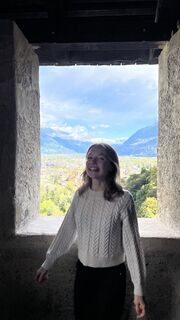
 © Anita MaiglerCreado el 05.10.2025
 -
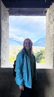
 © Anita MaiglerCreado el 05.10.2025
 -
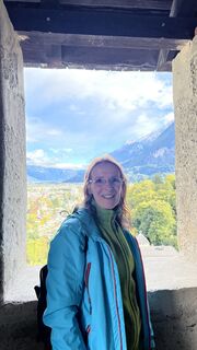
 © Anita MaiglerCreado el 05.10.2025
 -
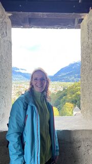
 © Anita MaiglerCreado el 05.10.2025
 -
 © Anita MaiglerCreado el 05.10.2025
 -
 © Anita MaiglerCreado el 05.10.2025
 -
 © Anita MaiglerCreado el 05.10.2025
 -
 © Anita MaiglerCreado el 05.10.2025
 -
 © Anita MaiglerCreado el 05.10.2025
 -
 © Anita MaiglerCreado el 05.10.2025
 -
 © Anita MaiglerCreado el 05.10.2025
 -
 © Anita MaiglerCreado el 05.10.2025
 -
 © Anita MaiglerCreado el 05.10.2025
 -
 © Anita MaiglerCreado el 05.10.2025
 -
 © Anita MaiglerCreado el 05.10.2025
 -
 © Anita MaiglerCreado el 05.10.2025
 -
 © Anita MaiglerCreado el 05.10.2025
 -
 © Anita MaiglerCreado el 05.10.2025
 -
 © Anita MaiglerCreado el 05.10.2025
 -
 © Anita MaiglerCreado el 05.10.2025
 -
 © Anita MaiglerCreado el 05.10.2025
 -
 © Anita MaiglerCreado el 05.10.2025
 -
 © Anita MaiglerCreado el 04.10.2025
 -
 © Anita MaiglerCreado el 04.10.2025
 -
 © Anita MaiglerCreado el 04.10.2025
 -
 © Anita MaiglerCreado el 04.10.2025
 -
 © Anita MaiglerCreado el 04.10.2025
 -
 © Anita MaiglerCreado el 04.10.2025
 -
 © Anita MaiglerCreado el 04.10.2025
 -
 © Anita MaiglerCreado el 04.10.2025
 -
 © Anita MaiglerCreado el 04.10.2025
 -
 © Anita MaiglerCreado el 04.10.2025
 -
 © Anita MaiglerCreado el 04.10.2025
 -
 © Anita MaiglerCreado el 04.10.2025
 -
 © Anita MaiglerCreado el 04.10.2025
 -
 © Anita MaiglerCreado el 04.10.2025
 -
 © Renate PrichaCreado el 03.10.2025
 -

 © franz faschingCreado el 01.10.2025
 -

 © Elfriede MoesslerCreado el 30.08.2025
 -
 © Elfriede MoesslerCreado el 30.08.2025
 -
 © Elfriede MoesslerCreado el 30.08.2025
 -
 © NickyCreado el 18.07.2025
 -
 © NickyCreado el 18.07.2025
 -
 © NickyCreado el 18.07.2025
 -
 © NickyCreado el 18.07.2025
 -
 © NickyCreado el 18.07.2025
 -
 © ReinspergerCreado el 14.02.2023
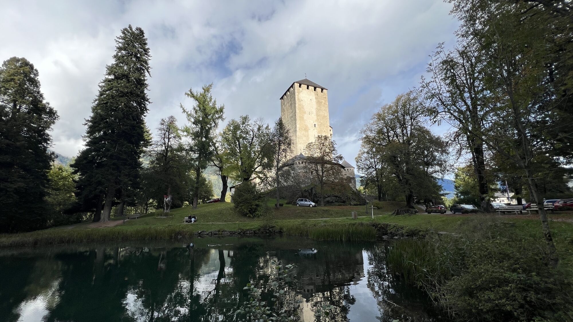

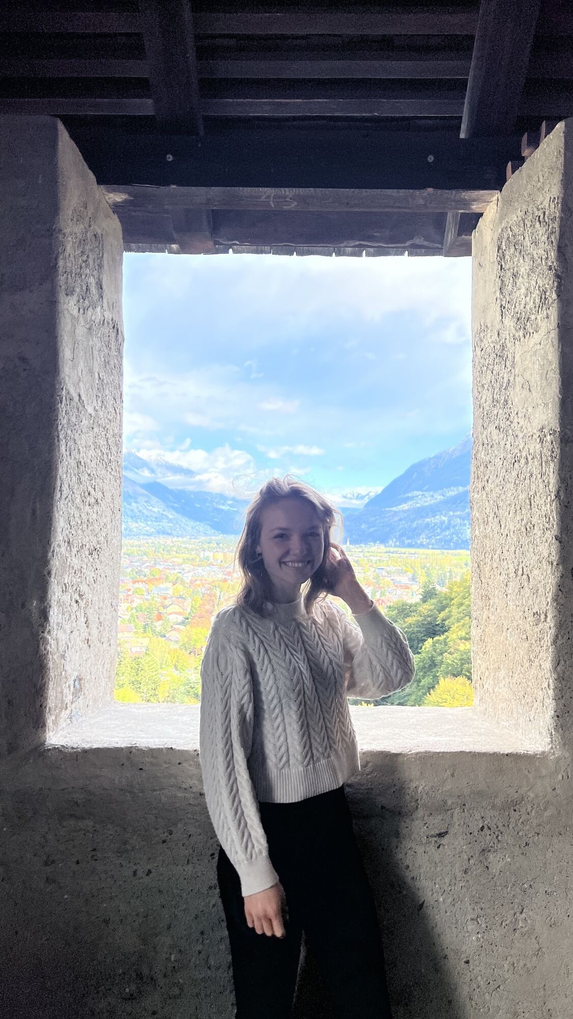


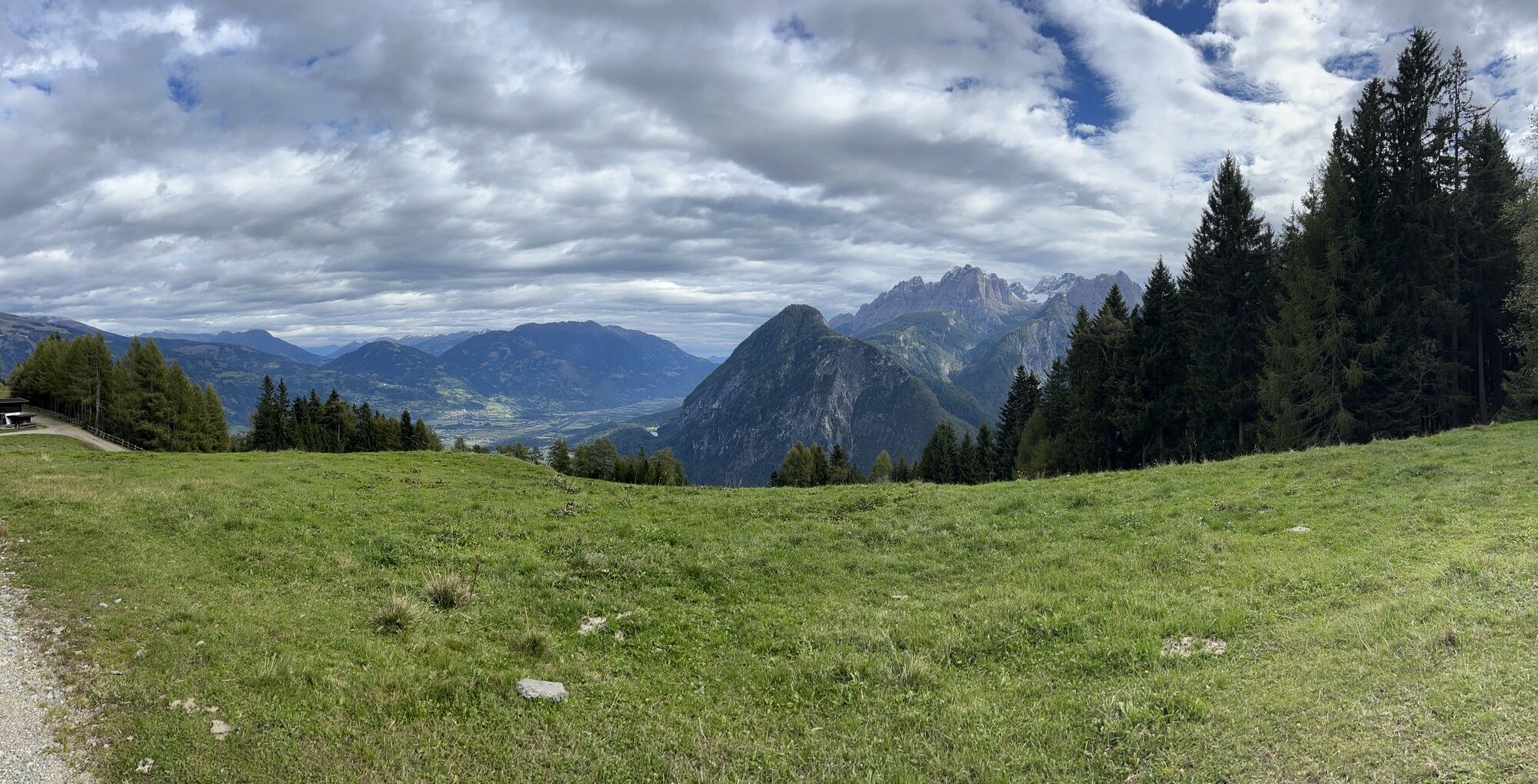
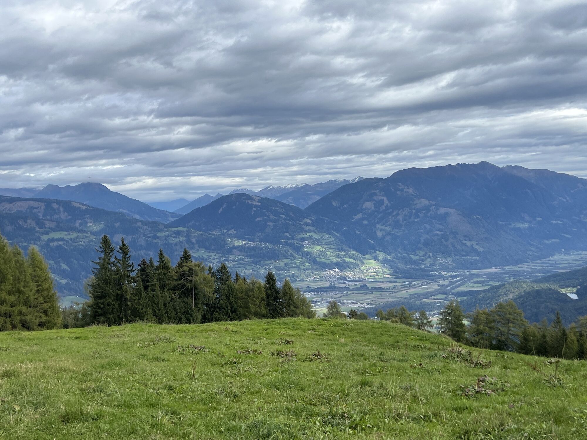

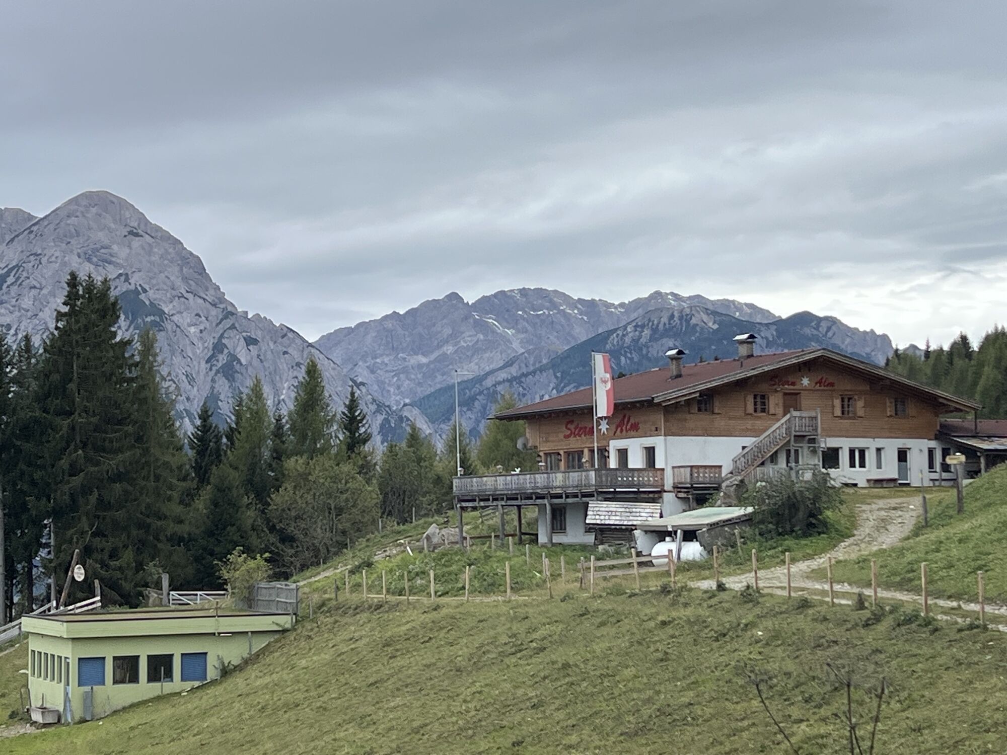

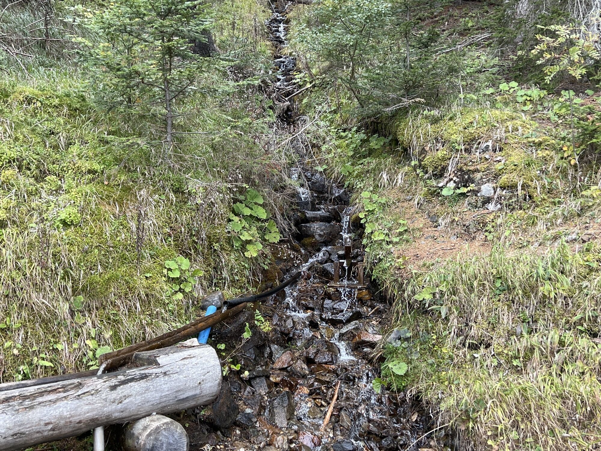

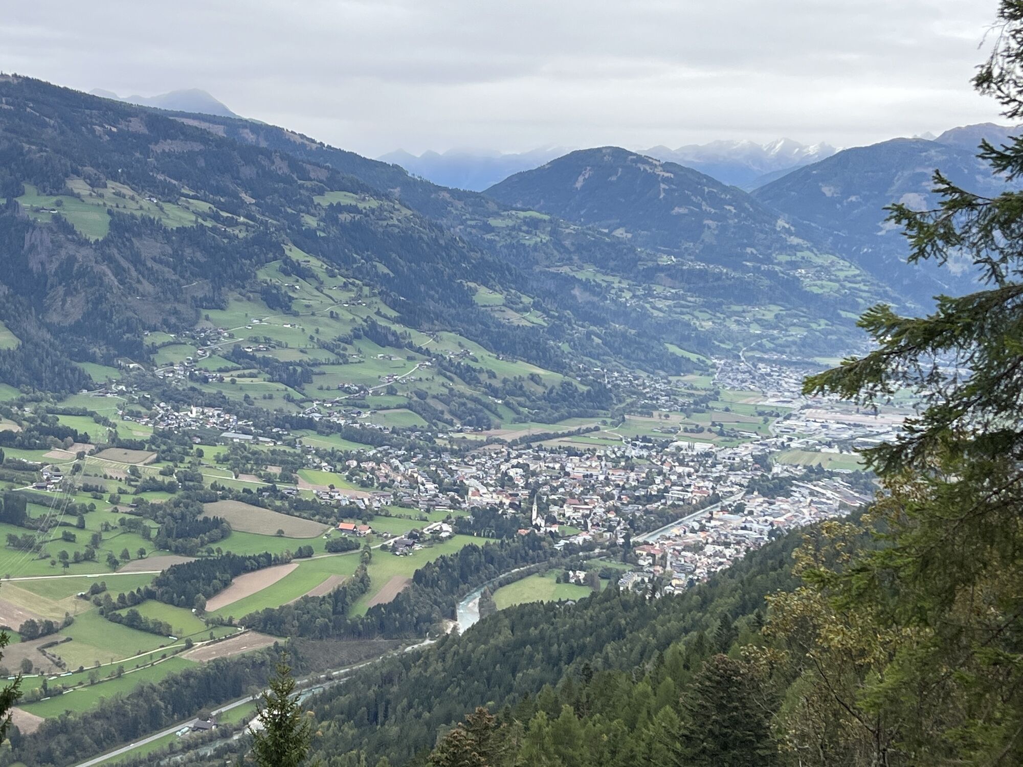

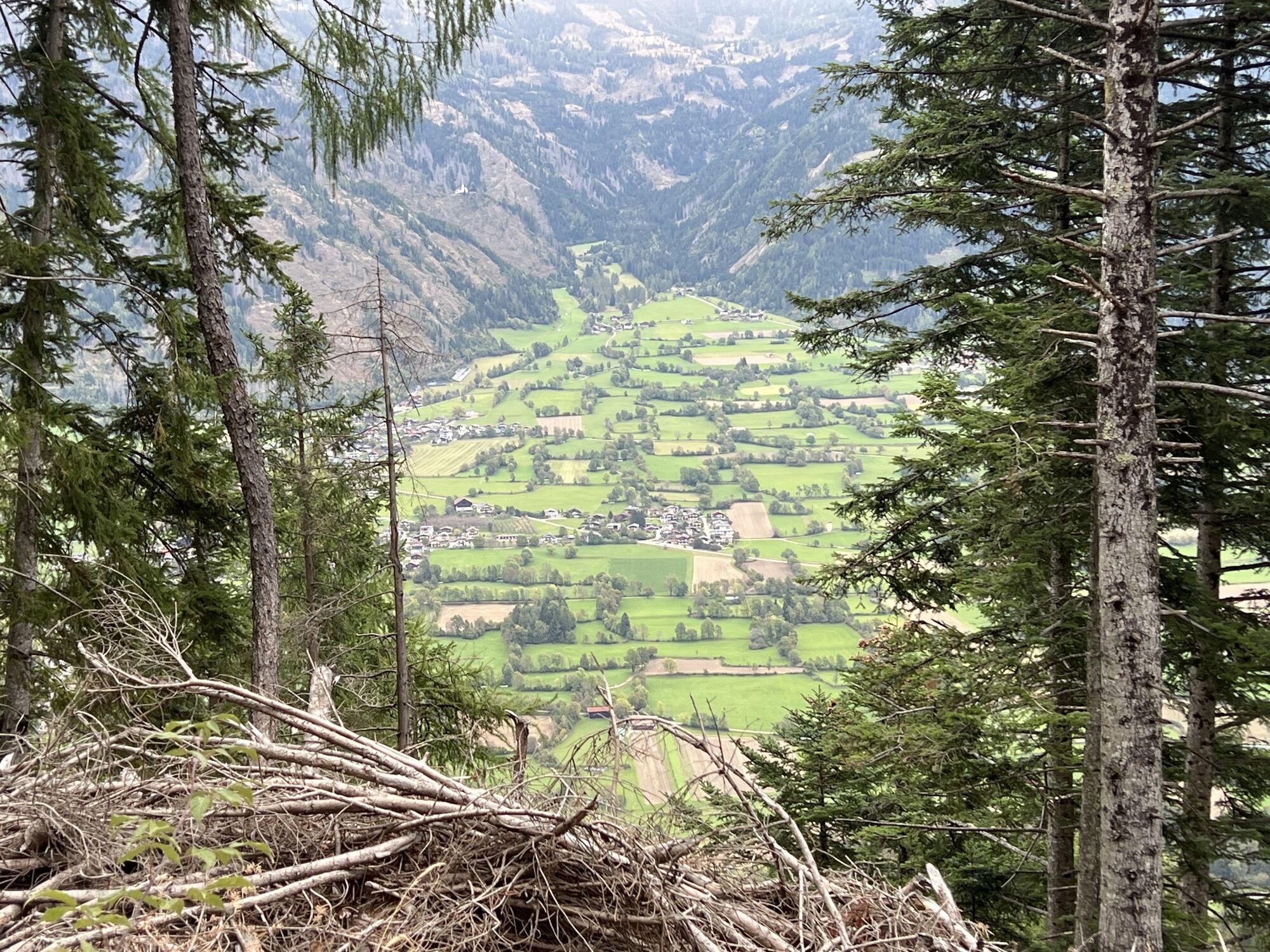

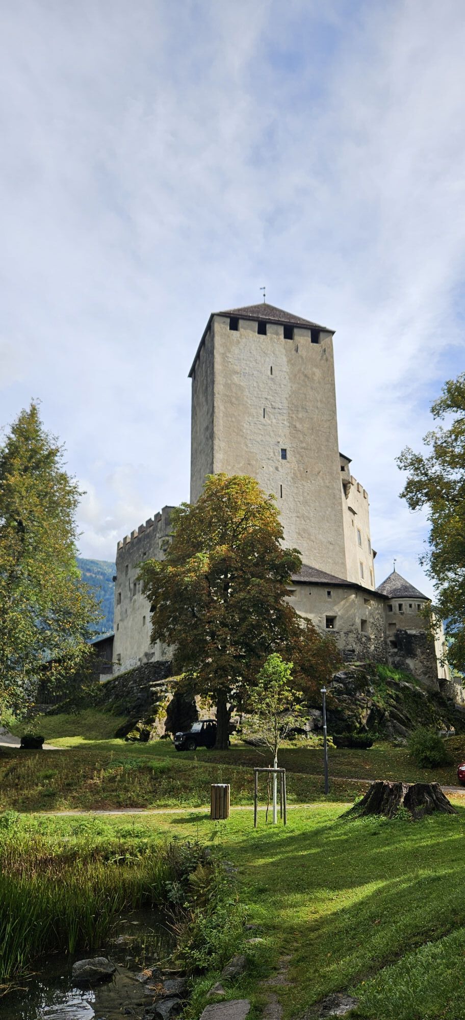

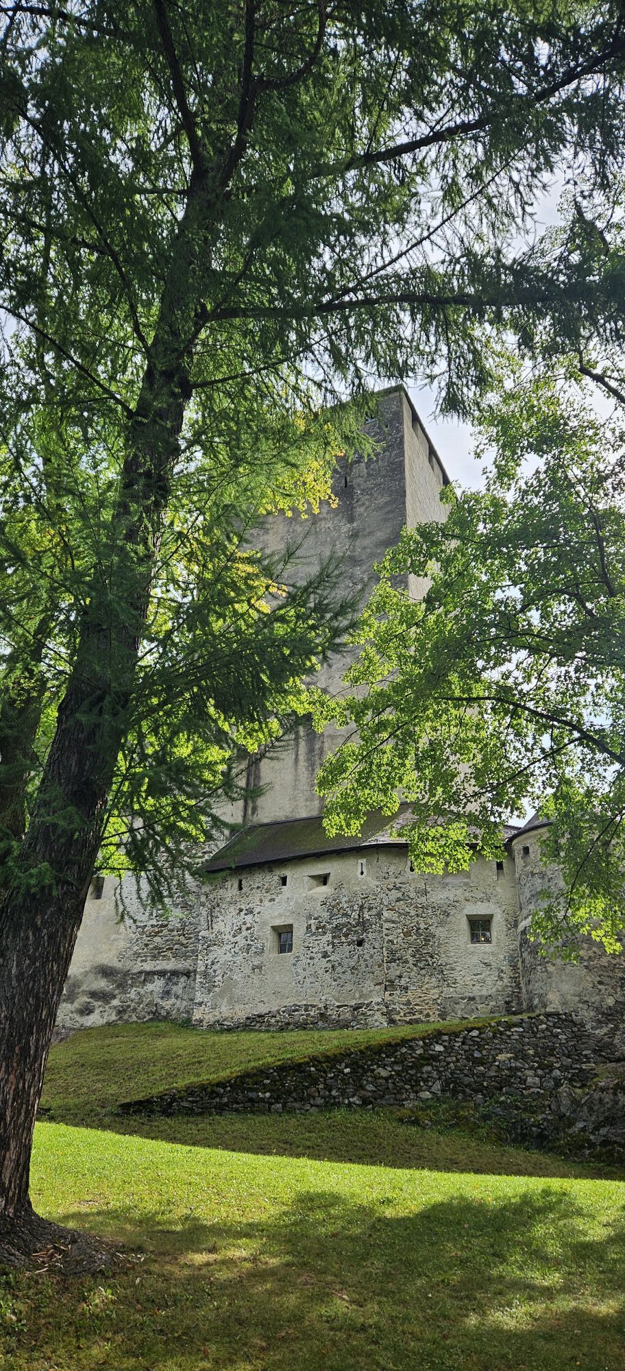


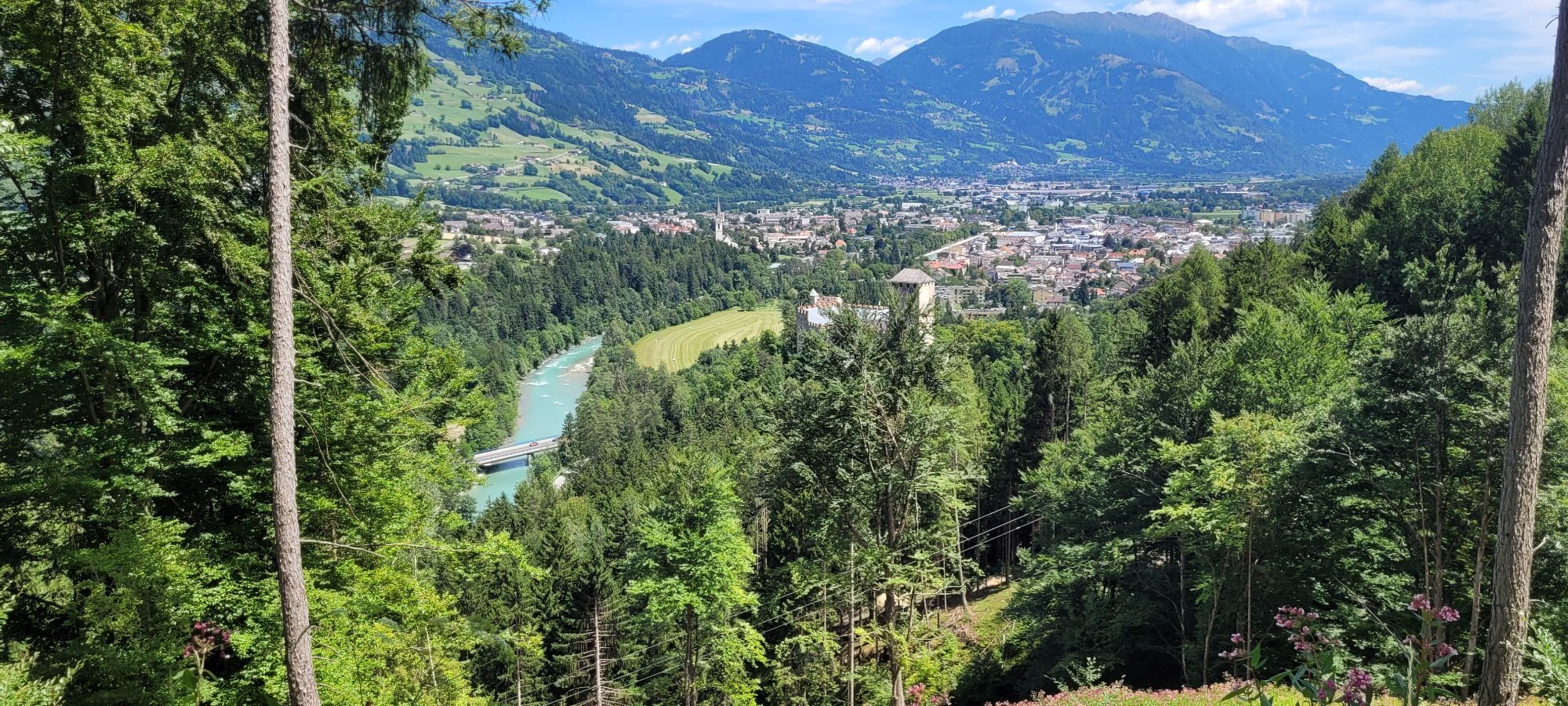


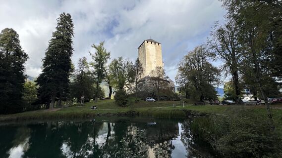
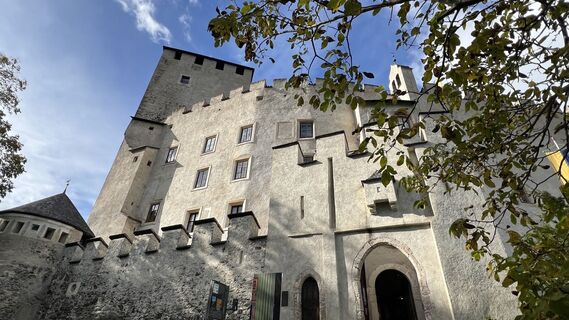
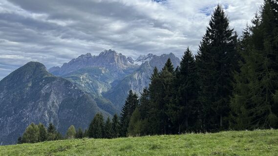
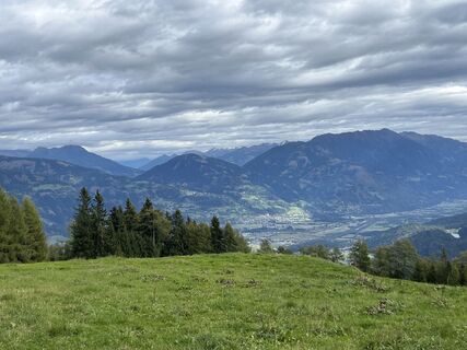
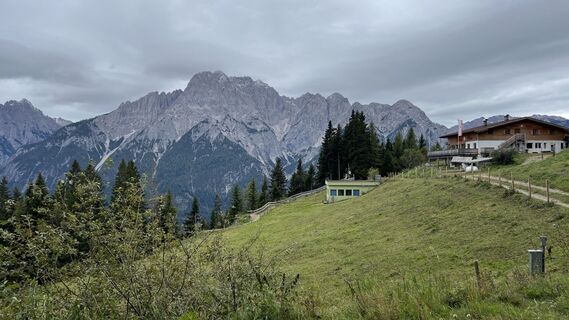
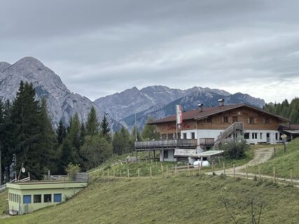
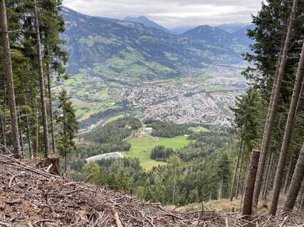
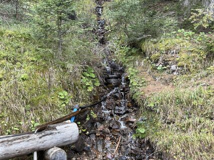
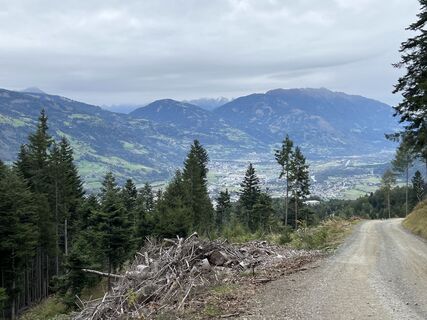
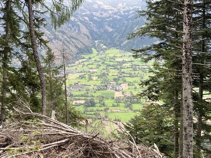
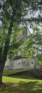
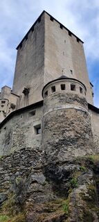
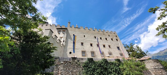
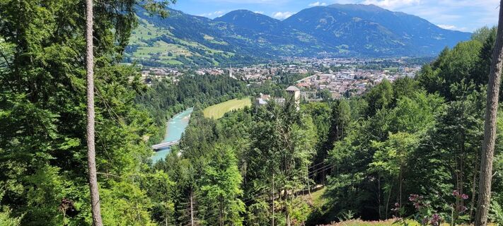
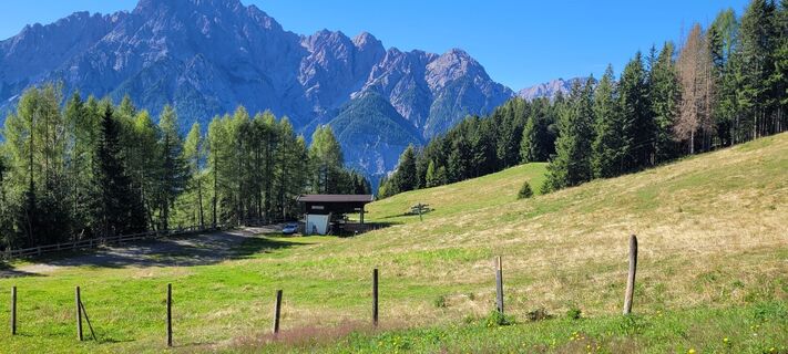
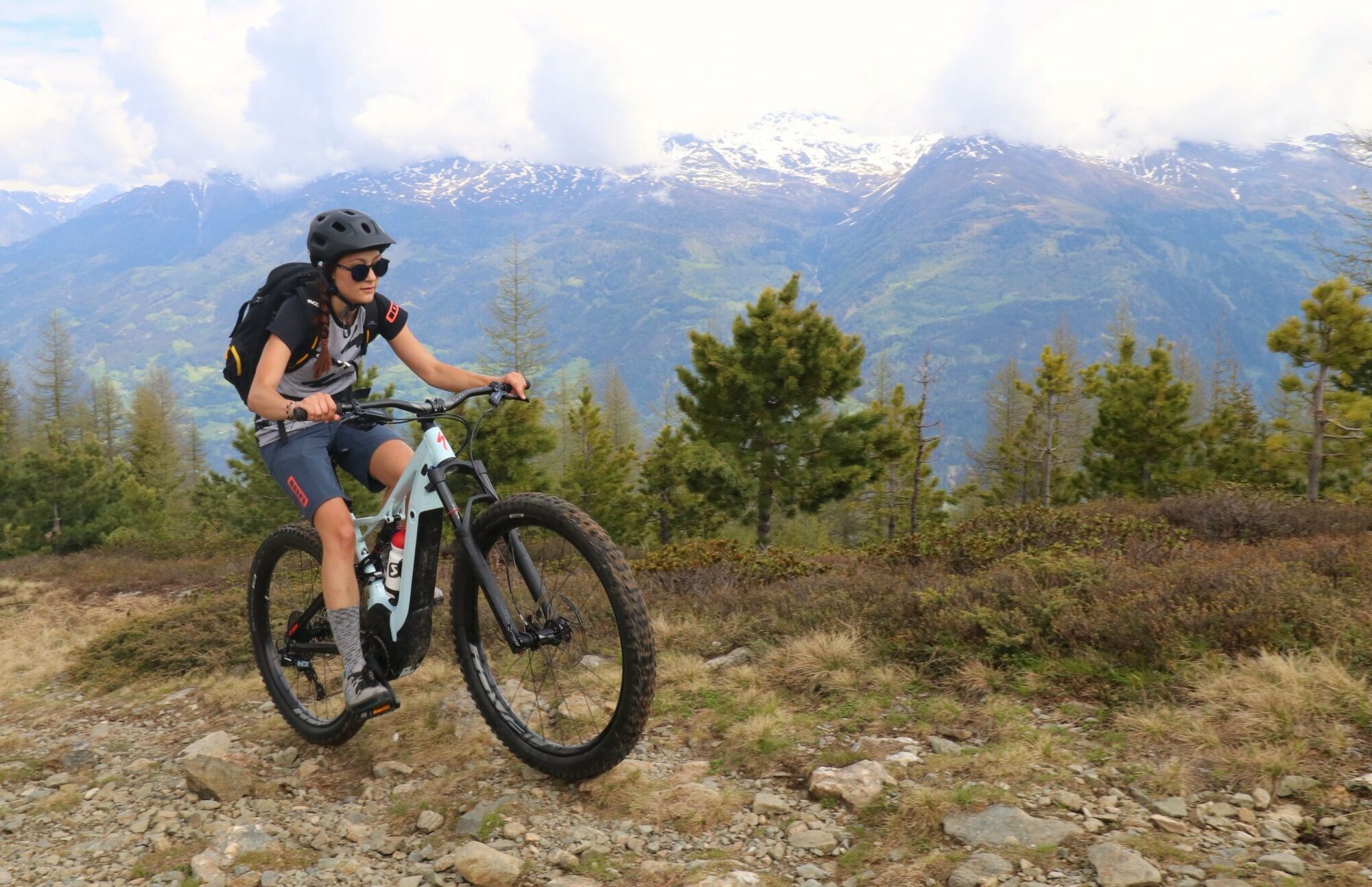
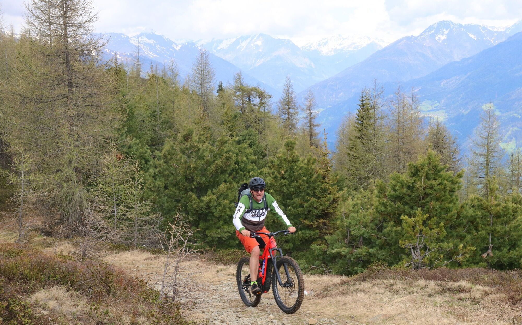
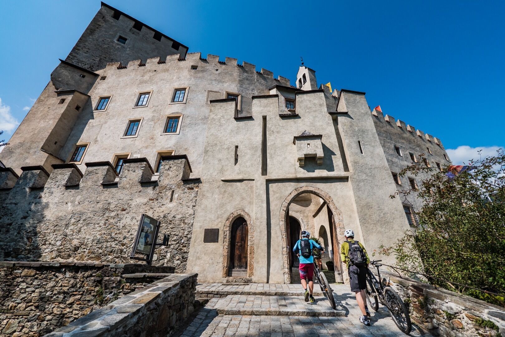
A not so easy route with some 833 metres altitude and covering 15,5 km on Lienz’s Hausberg, which stands out with its panoramic views of the Lienz Dolomites and the Schober group. The starting point for...
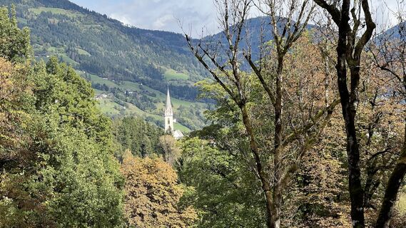
A not so easy route with some 833 metres altitude and covering 15,5 km on Lienz’s Hausberg, which stands out with its panoramic views of the Lienz Dolomites and the Schober group. The starting point for the tour is the time-honoured Bruck Castle, former place of residence of the Counts of Görz. Built at the start of the 13th century, from the medieval castle to the west of the town of Lienz there are views to the Lienz valley floor, and also to the Iseltal. The tour continues from the castle through the forest, climbing steadily, to the junction at Taxer Moos, then later beneath the ski lift route to Sternalm, a popular excursion destination and a place where the people of Lienz enjoy a refreshment stop. Anyone who is now exhausted can enjoy a bit of time-out on the large Sternalm sun terrace and sun lounger area. The descent to Leisach is also an option via the "Horniss" (Route 106). From Leisach ride then via the Drau cycle trail back to Lienz. Culture tip: Bruck Castle is home to the museum of Lienz and the Albin Egger-Lienz gallery.
Von Lienz in Richtung Matrei in Osttirol (Iseltal). Unmittelbar nach dem Kreisverkehr bei der Stadtausfahrt Lienz, nach ca. 200 Metern befindet sich auf der linken Seite der Bundesstraße die Talstation der Schlossbergbahn.
Mit dem Regiobus Nr. 2
Talstation Schlossbergbahn
Rutas populares en los alrededores
-
4,7
Glödis 3206m: PP Seichenbrunn, Lienzer Hütte, Glödis KS A/B
pesadoExcursión de alta montaña 16,1 km -
4,8
Lienzer Dolomiten-Lasertörl
medioSenderismo 13,2 km -
5,0
Recorrido Ederplan desde el aparcamiento de Stronach
medioSenderismo 7,19 km -
4,8
Caminata a la Wangenitzseehütte
medioSenderismo 13,9 km -
4,7
Anna Schutzhaus am Ederplan
medioSenderismo 2,76 km -
3,9
Excursión a la cumbre del Hochstadel
medioSenderismo 7,83 km -
4,8
Böses Weibele - Pustertaler Höhenweg
medioSenderismo 13,2 km -
2,6
Lienzer Dolomiten: Karlsbader Hütte und Laserzwand
luzSenderismo 5,91 km -
5,0
Dolomitenhütte, Rudl-Eller-Weg / Steig, Piccola Ferrata, Laserzsee, Karlsbaderhütte, Dolomitenhütte, Tristach, Österreich
medioSenderismo de montaña 11,1 km -
4,8
#33: Schleinitz Klettersteig, 3 Gipfel Runde (B)
medioVía ferrata 10,6 km
Senderismo y rastreo


No se pierda las ofertas y la inspiración para sus próximas vacaciones
Su dirección de correo electrónico se ha añadido a la lista de correo.