



Greina Trail Run

Nivel de dificultad: T3
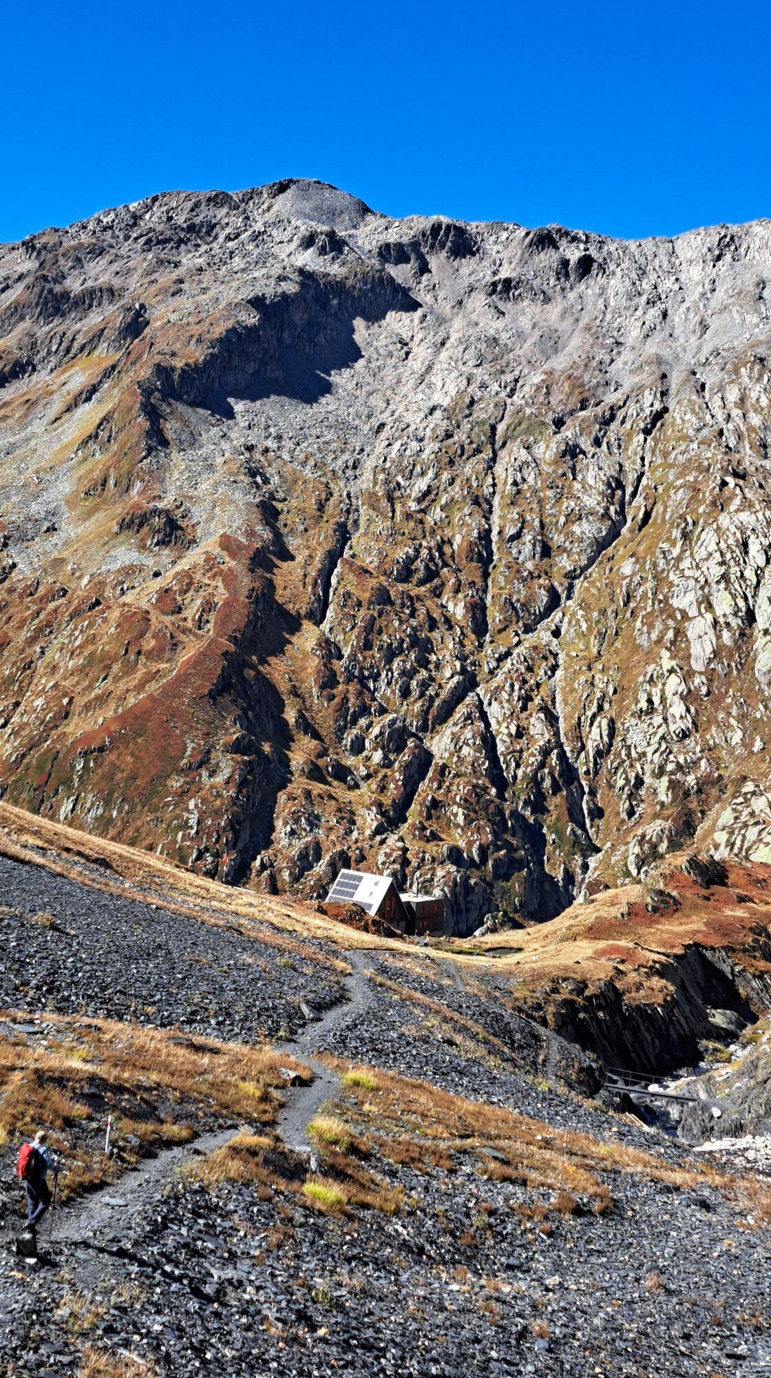
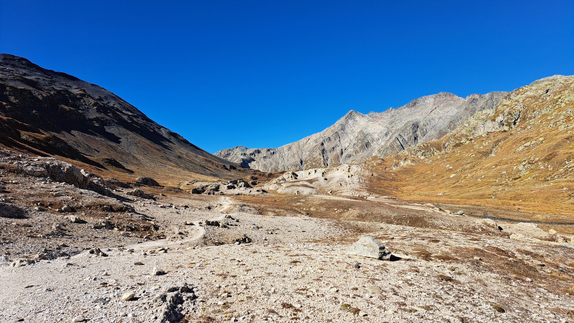
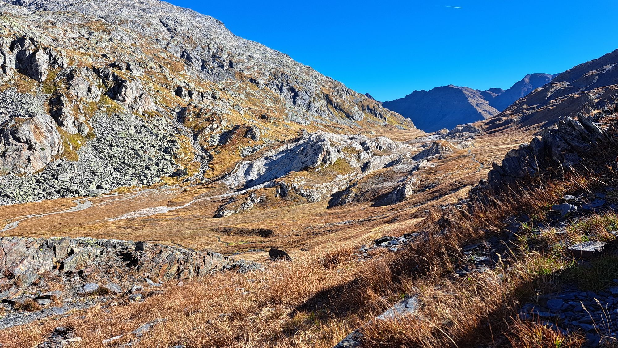
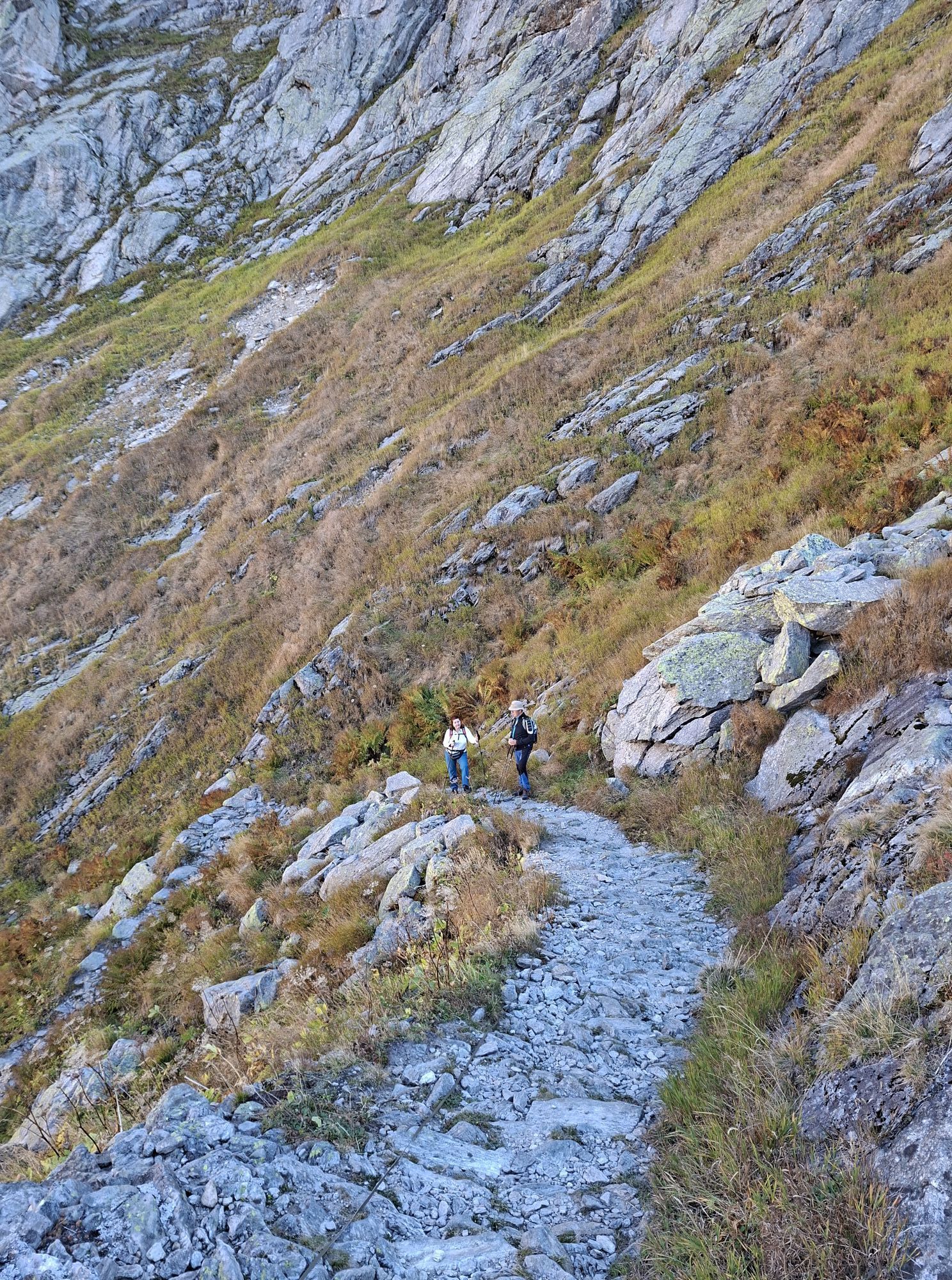
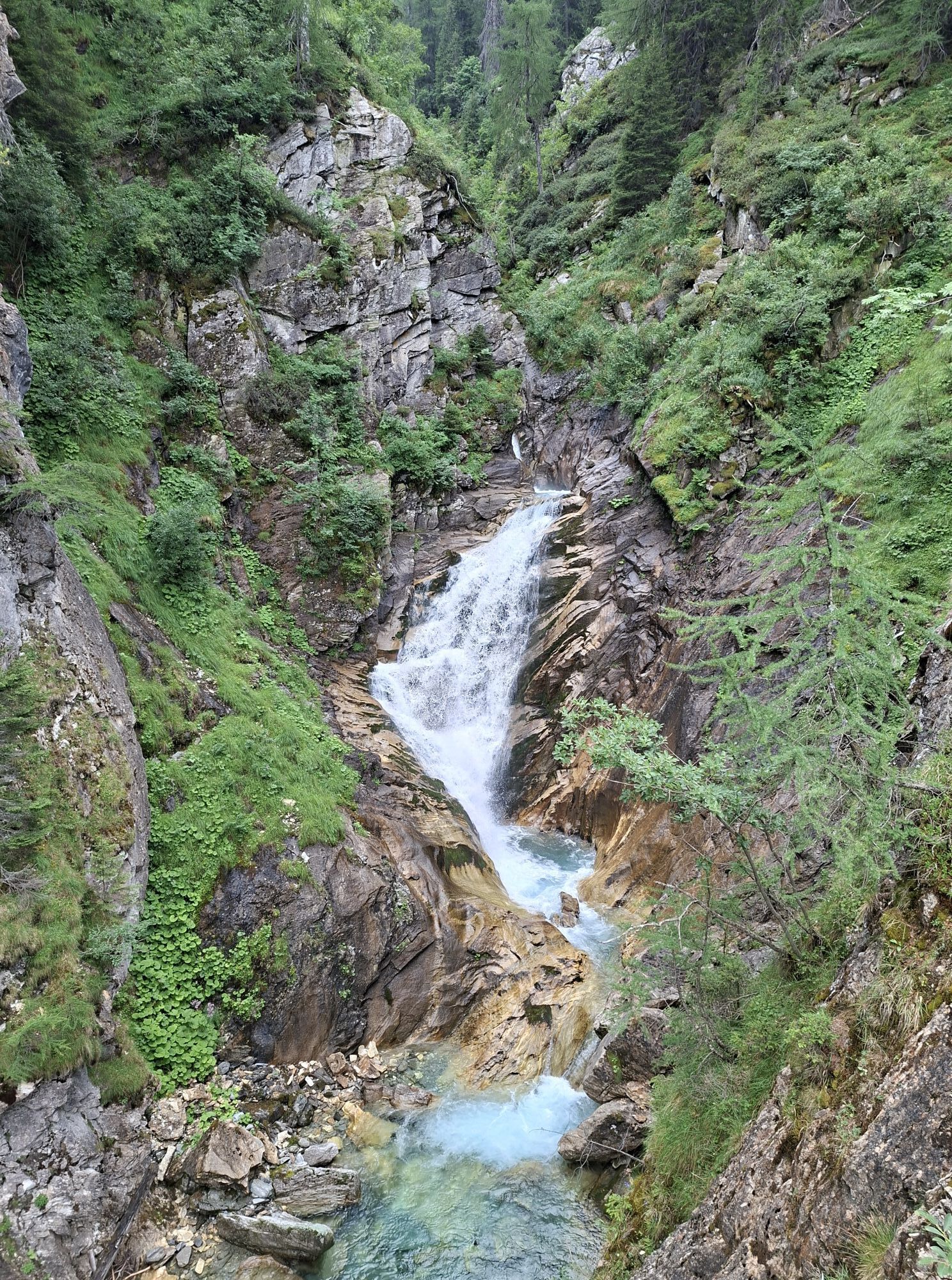
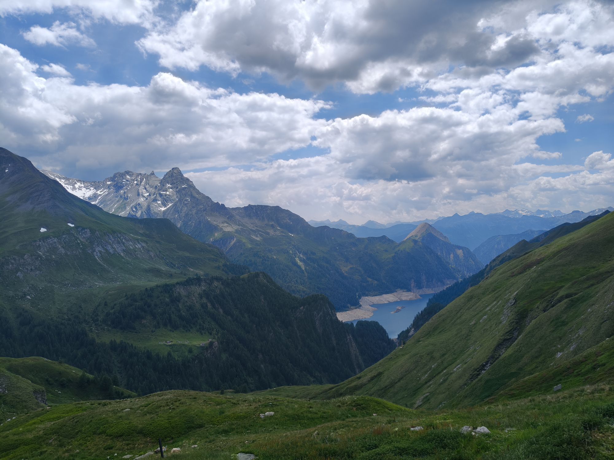
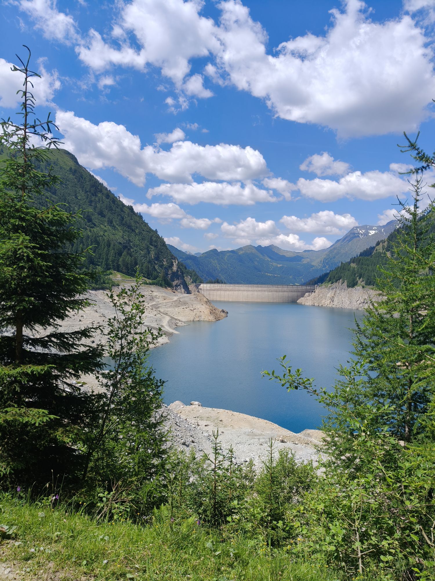

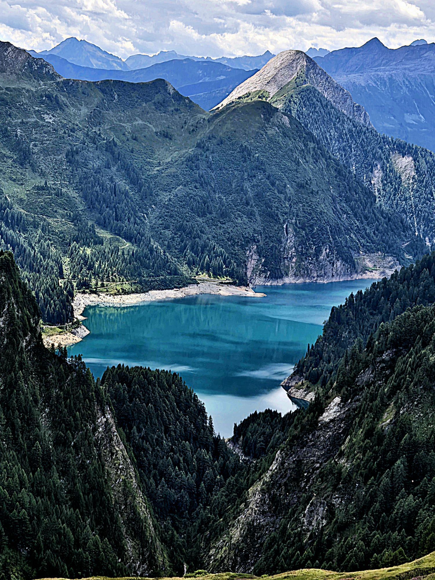
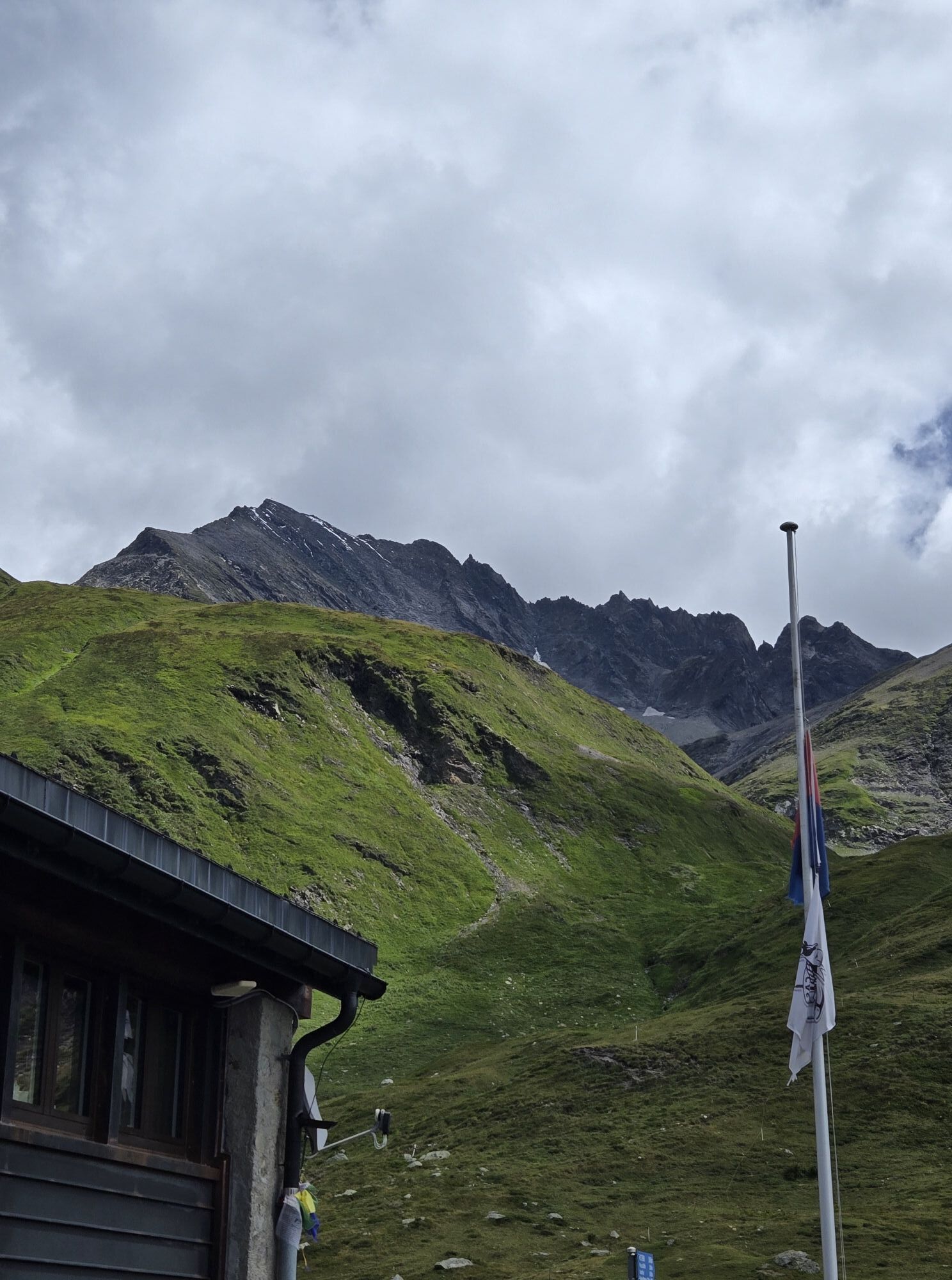
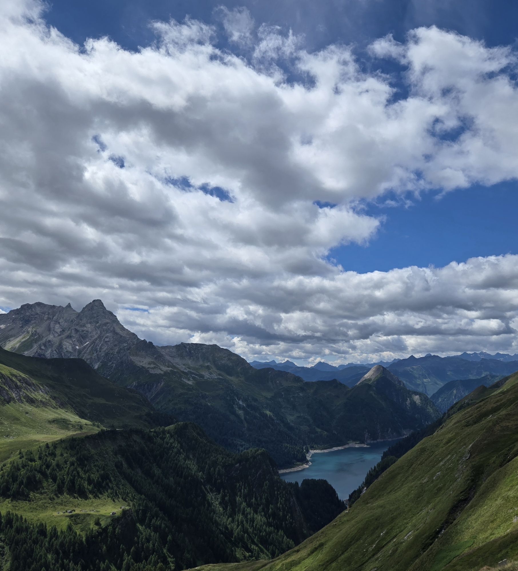
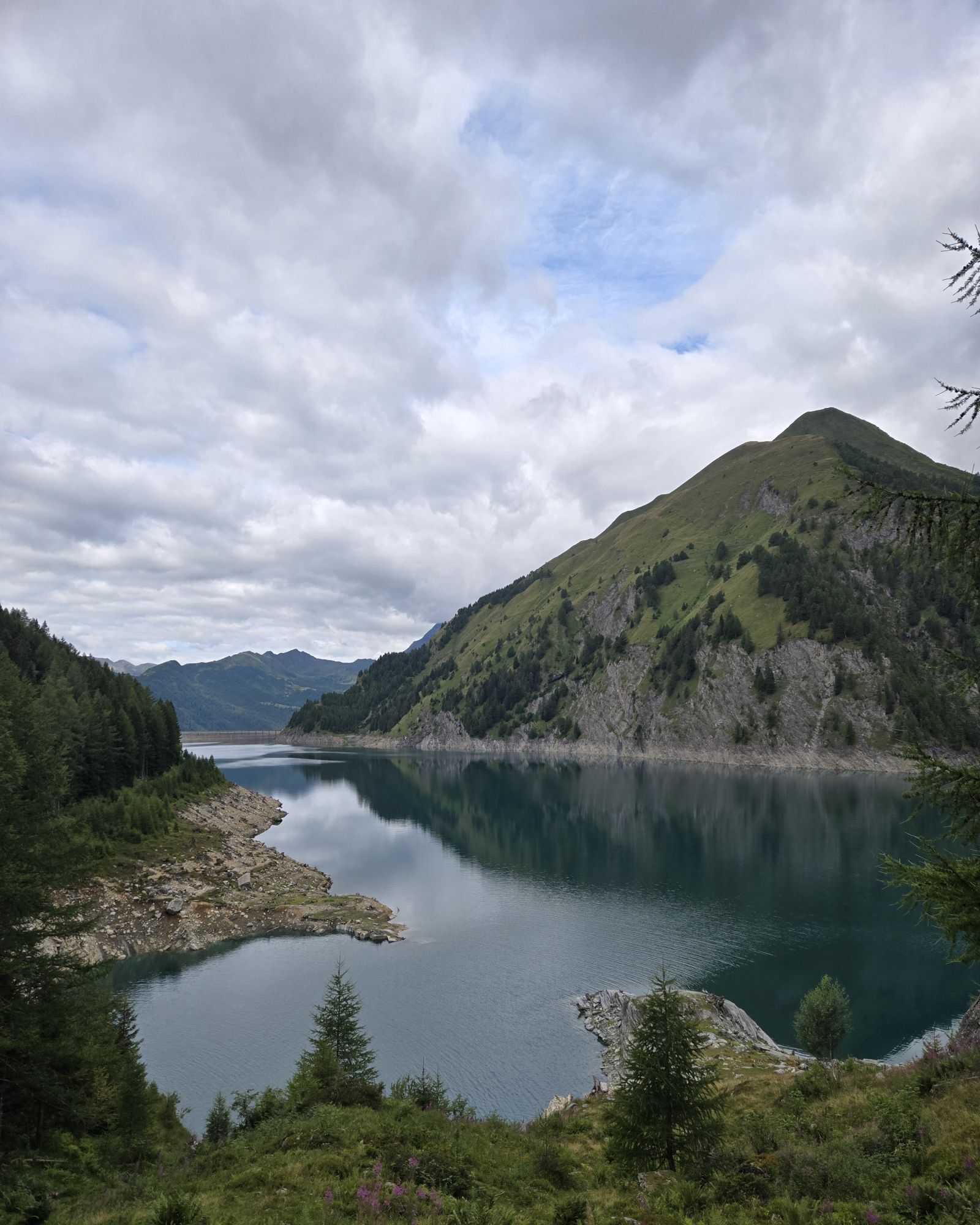
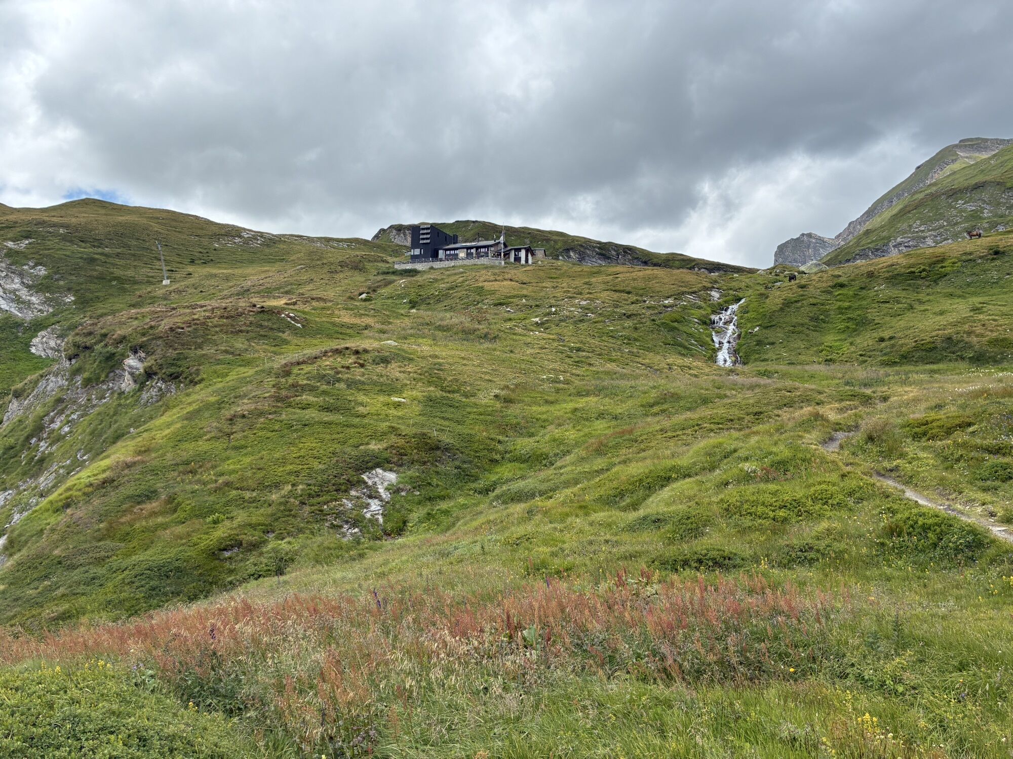
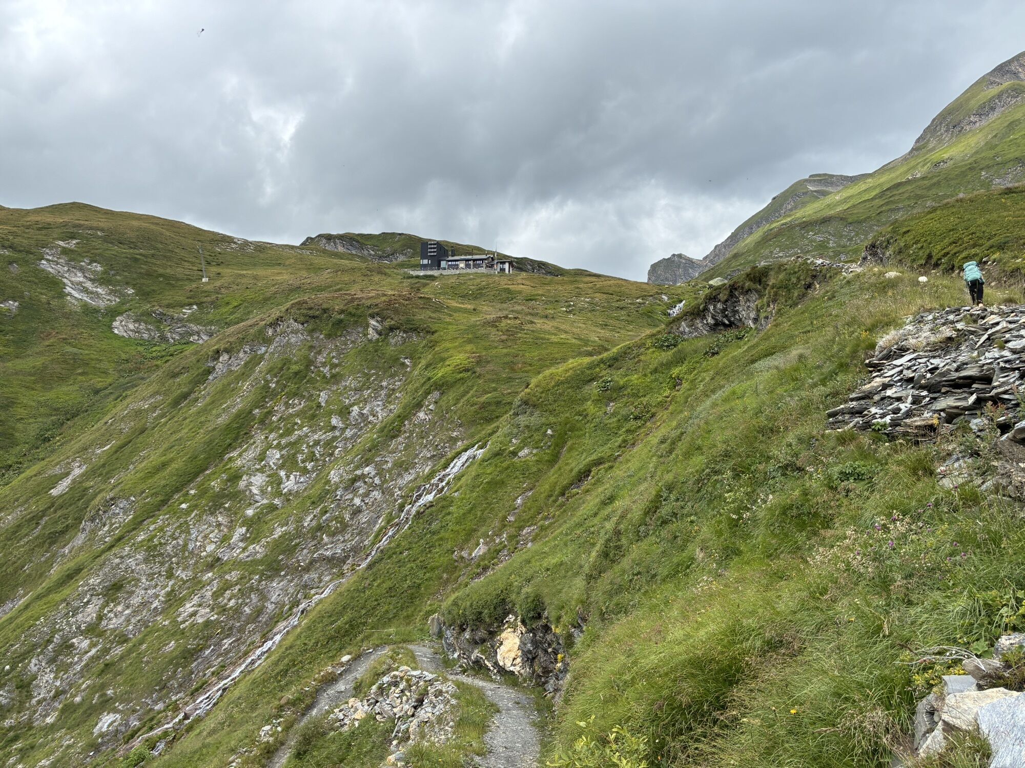
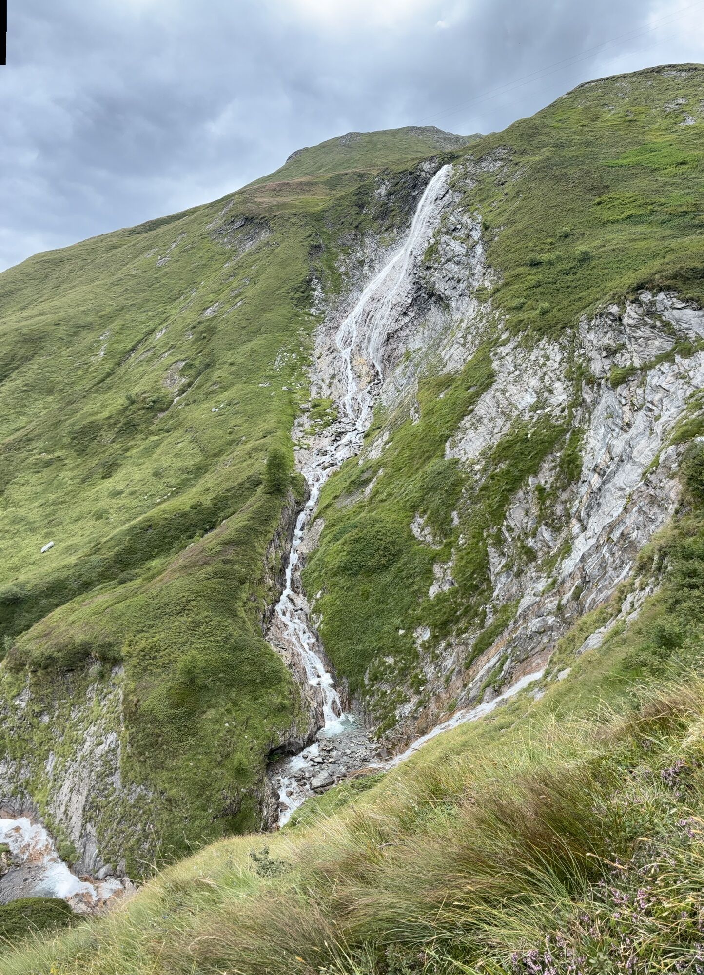
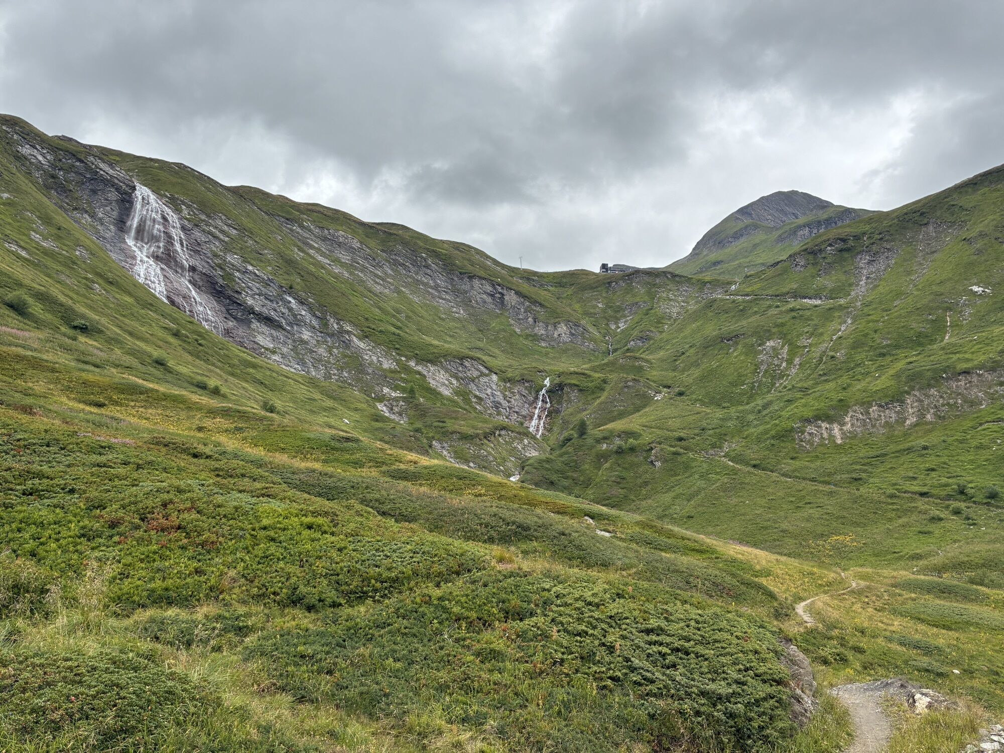
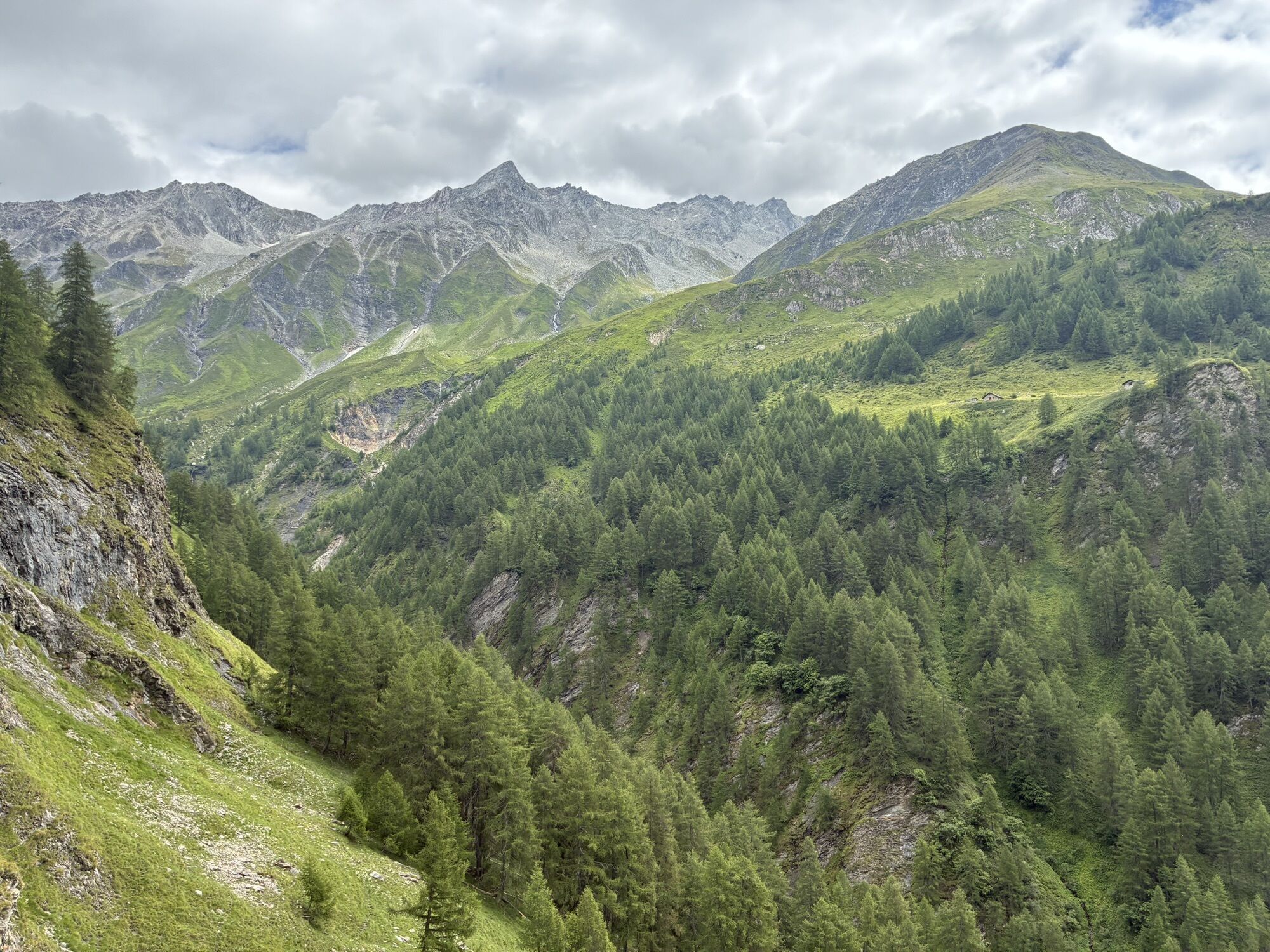
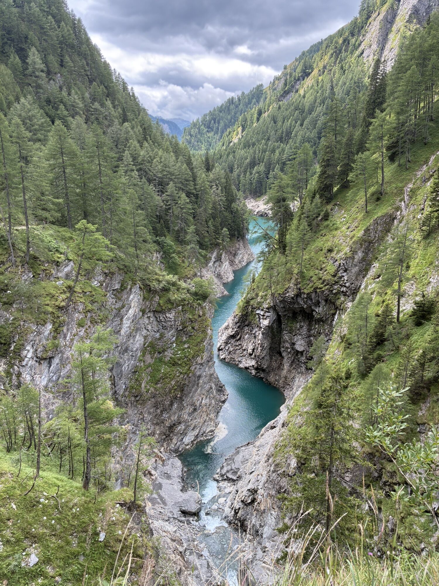
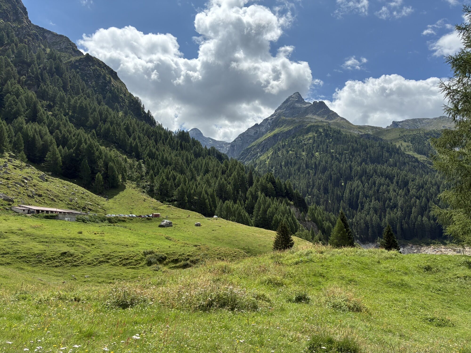
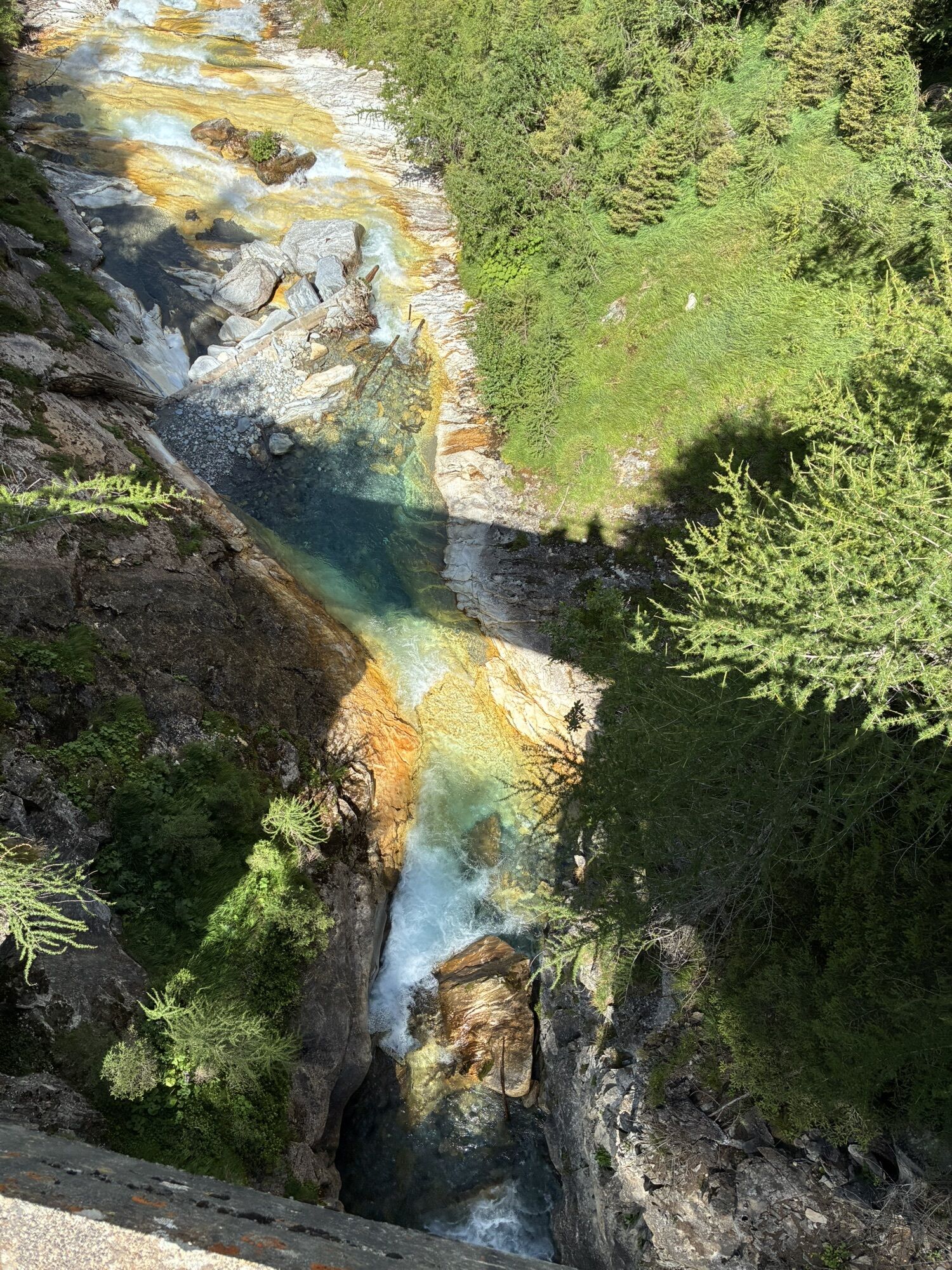
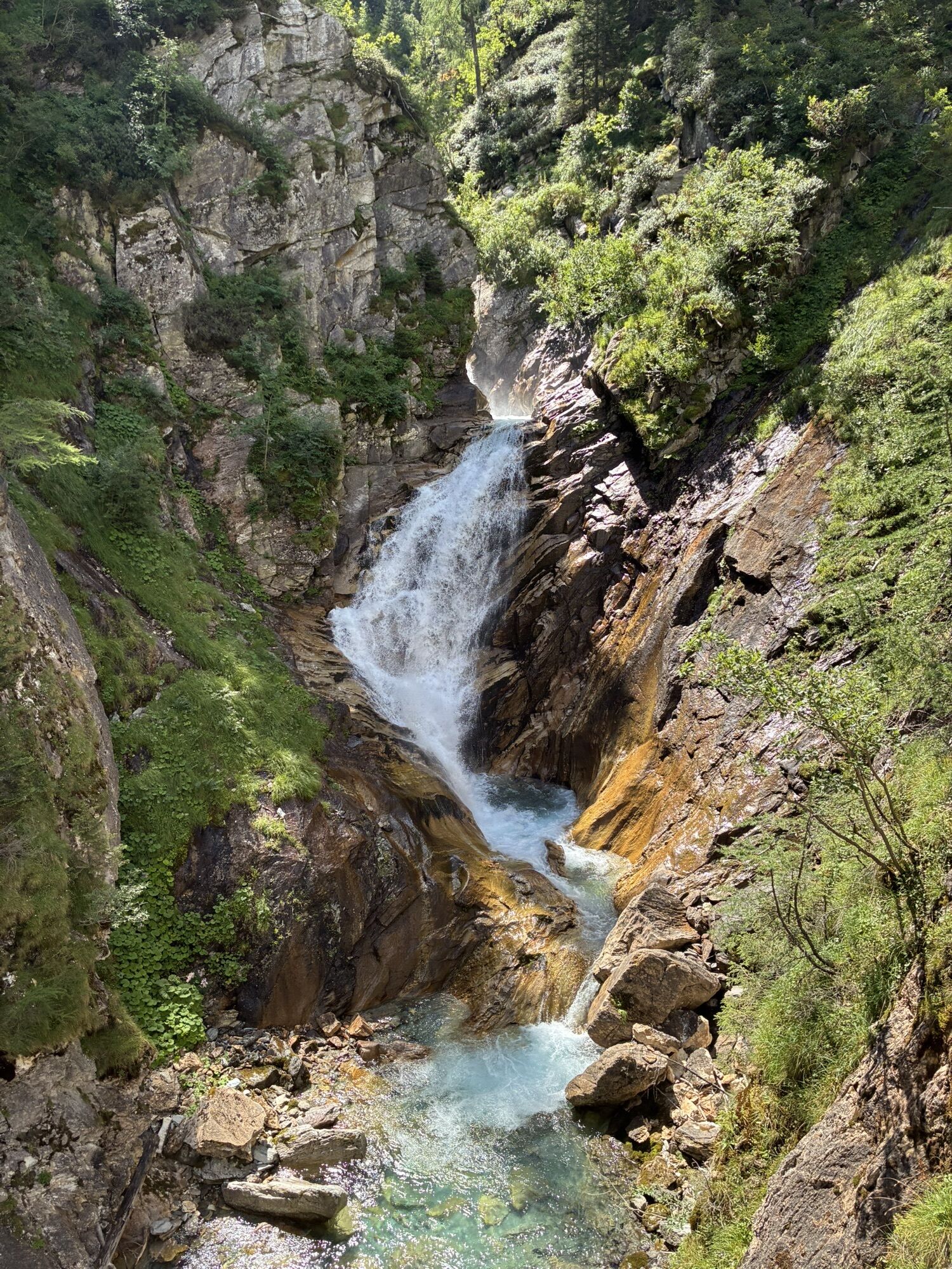
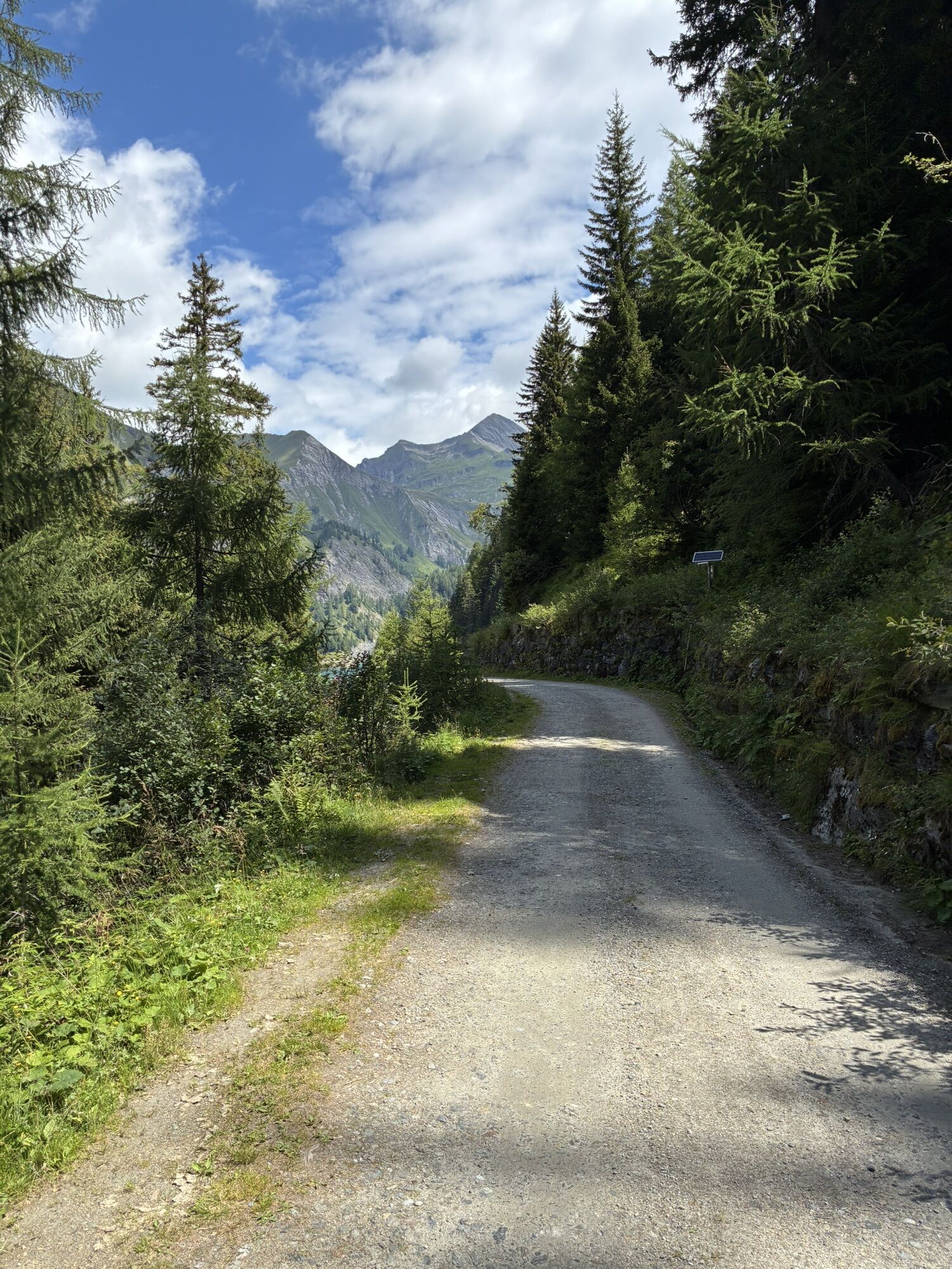
The route follows the course of the Classic Greina Trail, one of the races of the Greina Trail event, and covers approximately 28 km with more than 1,250 metres of elevation gain. Starting and finishing...
From Campo Blenio, the route climbs gradually towards the upper Blenio Valley, passing Alpe Camadra and Pian Geirett, the gateway to the Greina. It then continues through some of the region's most impressive landscapes, reaching the Greina Pass and crossing the plateau to Crap la Crusch.
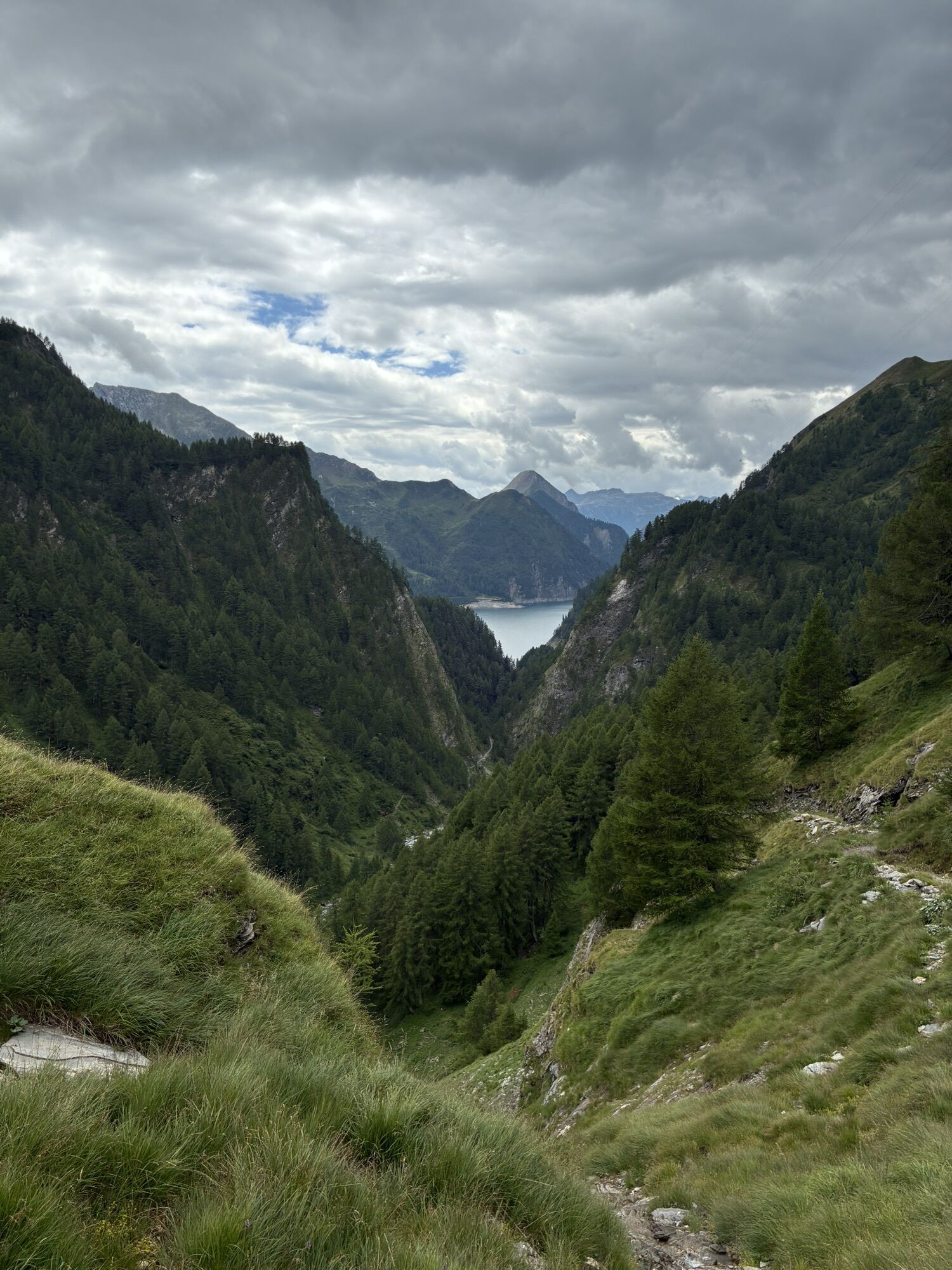
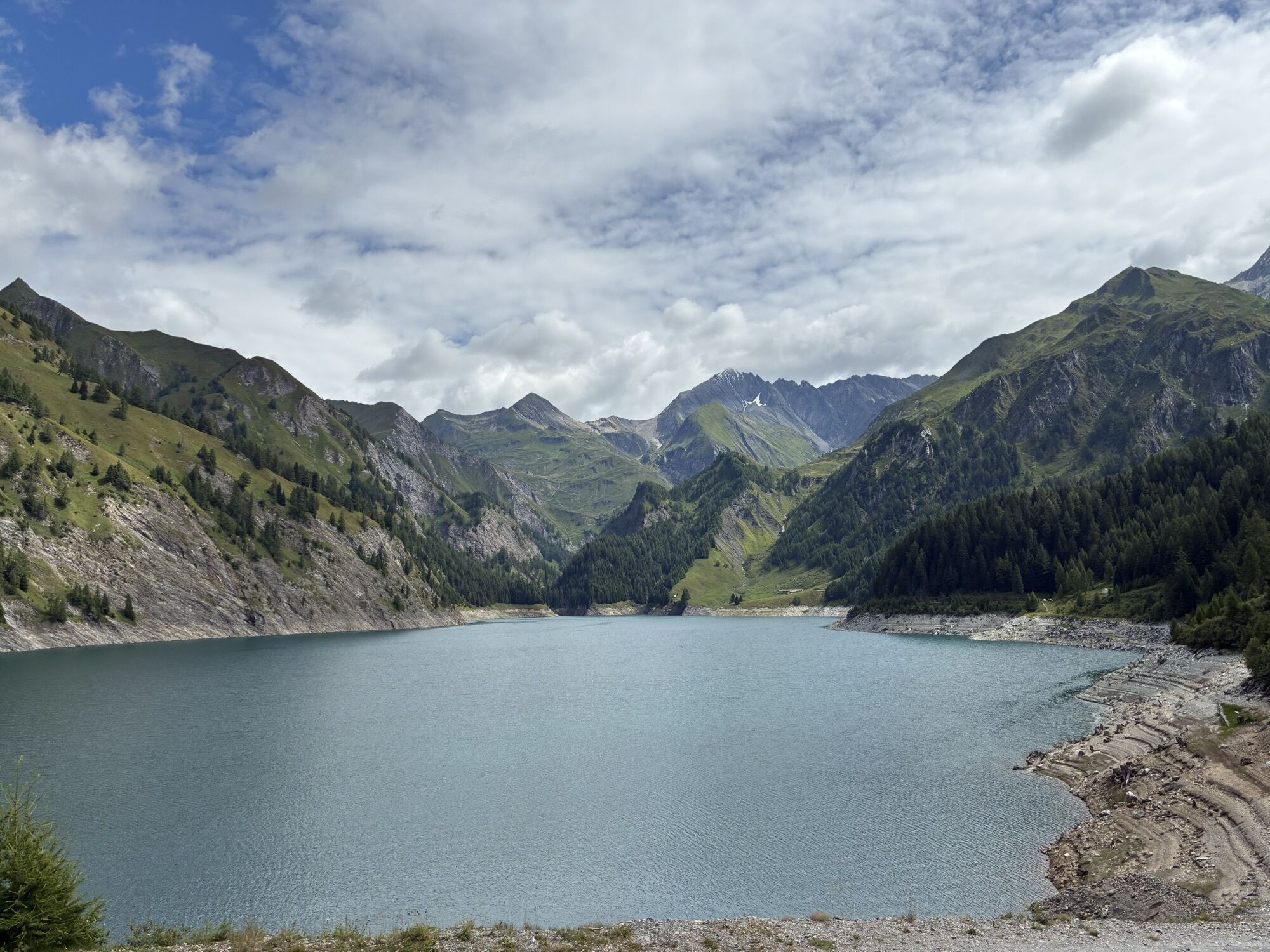
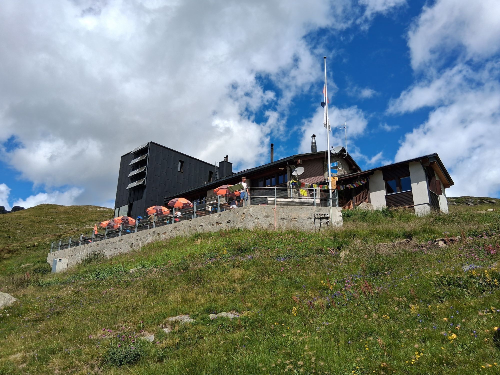
The route continues towards the Capanna Motterascio before beginning the long descent towards Lake Luzzone and finally returning to Campo Blenio.
A route combining demanding climbs, technical sections and high-altitude passages, offering sweeping views and an unforgettable trail running experience in one of Ticino's most fascinating Alpine landscapes.

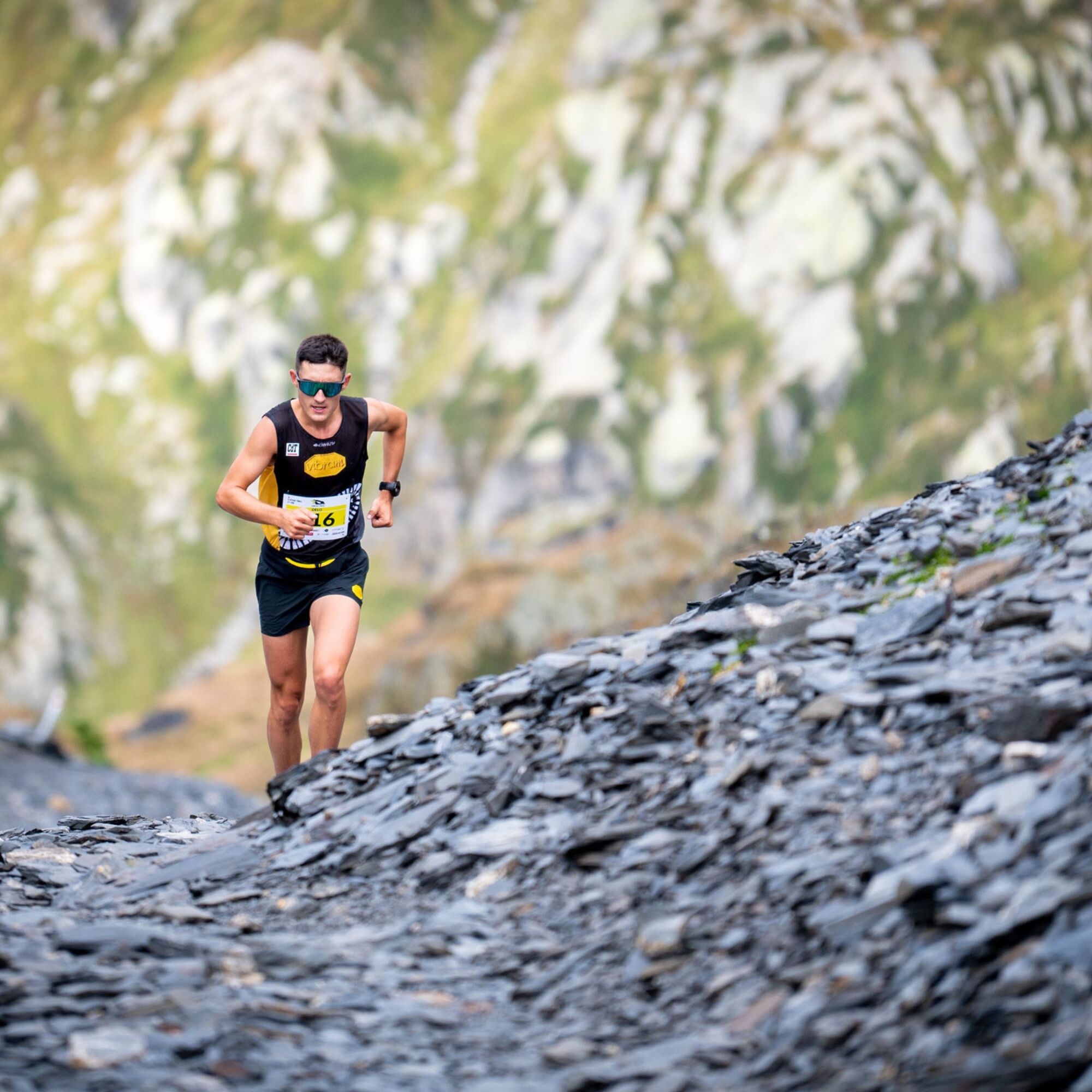
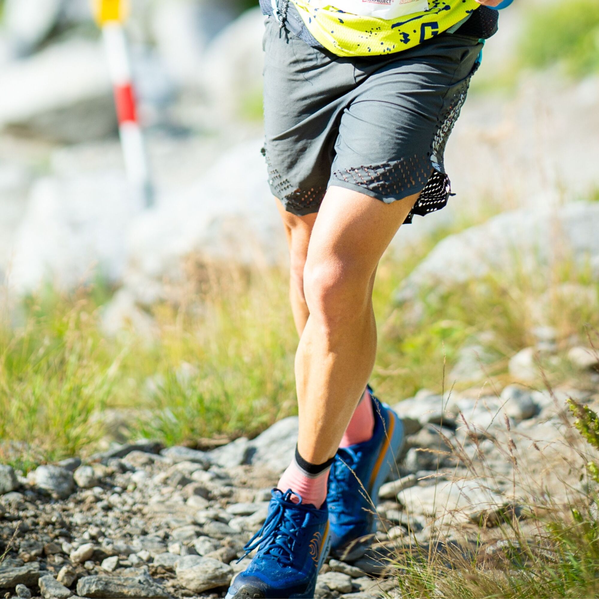
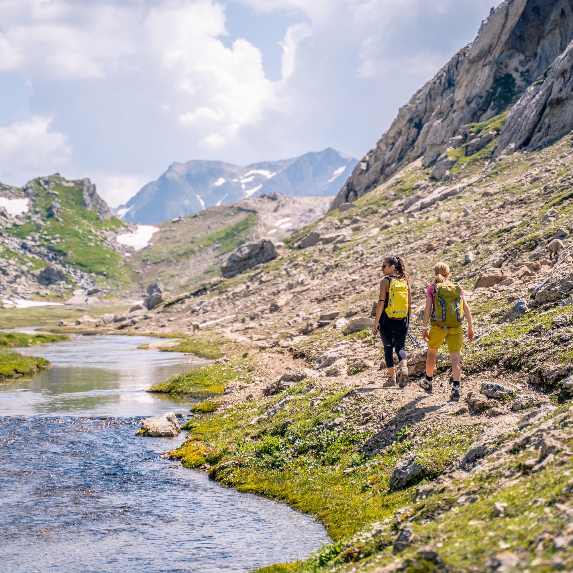
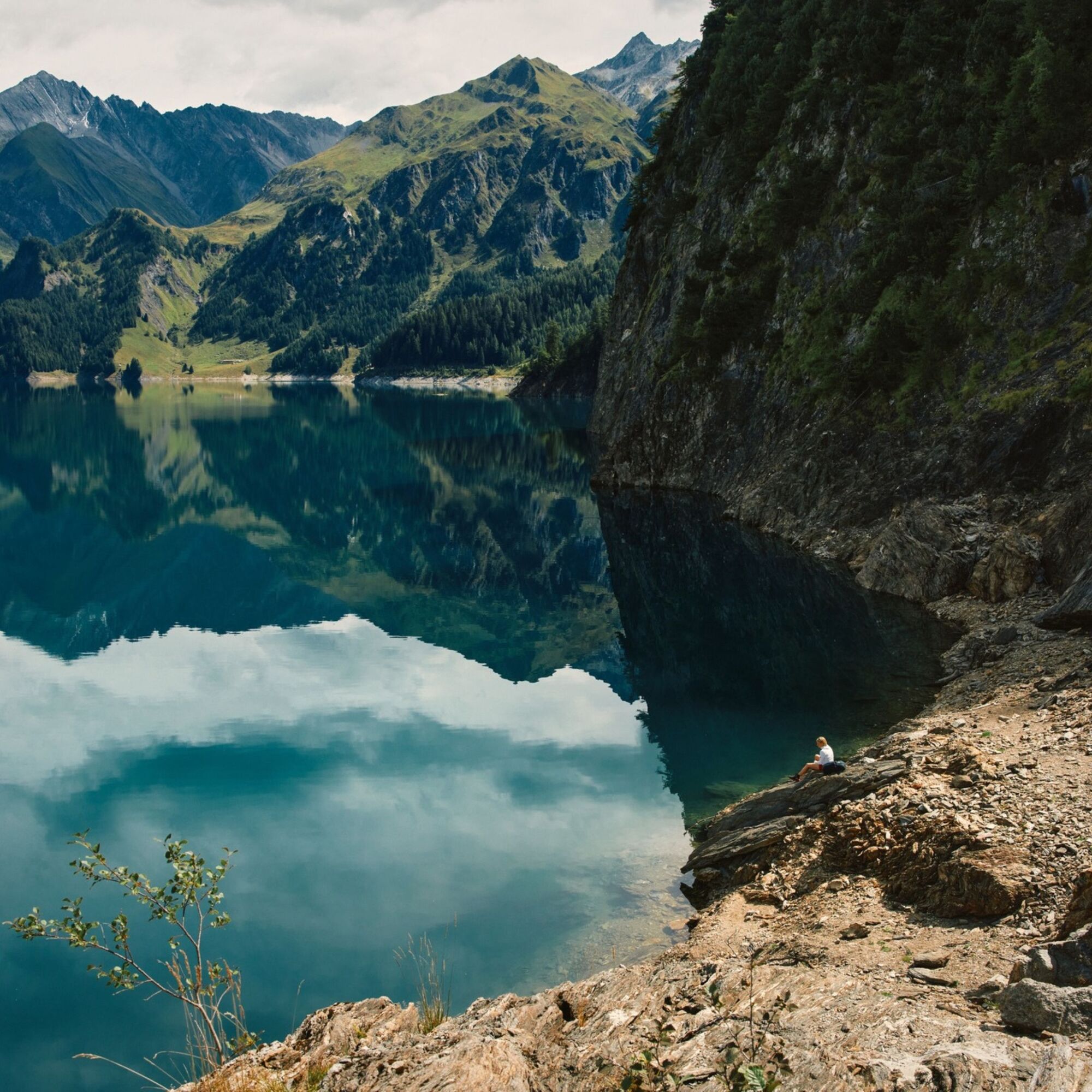
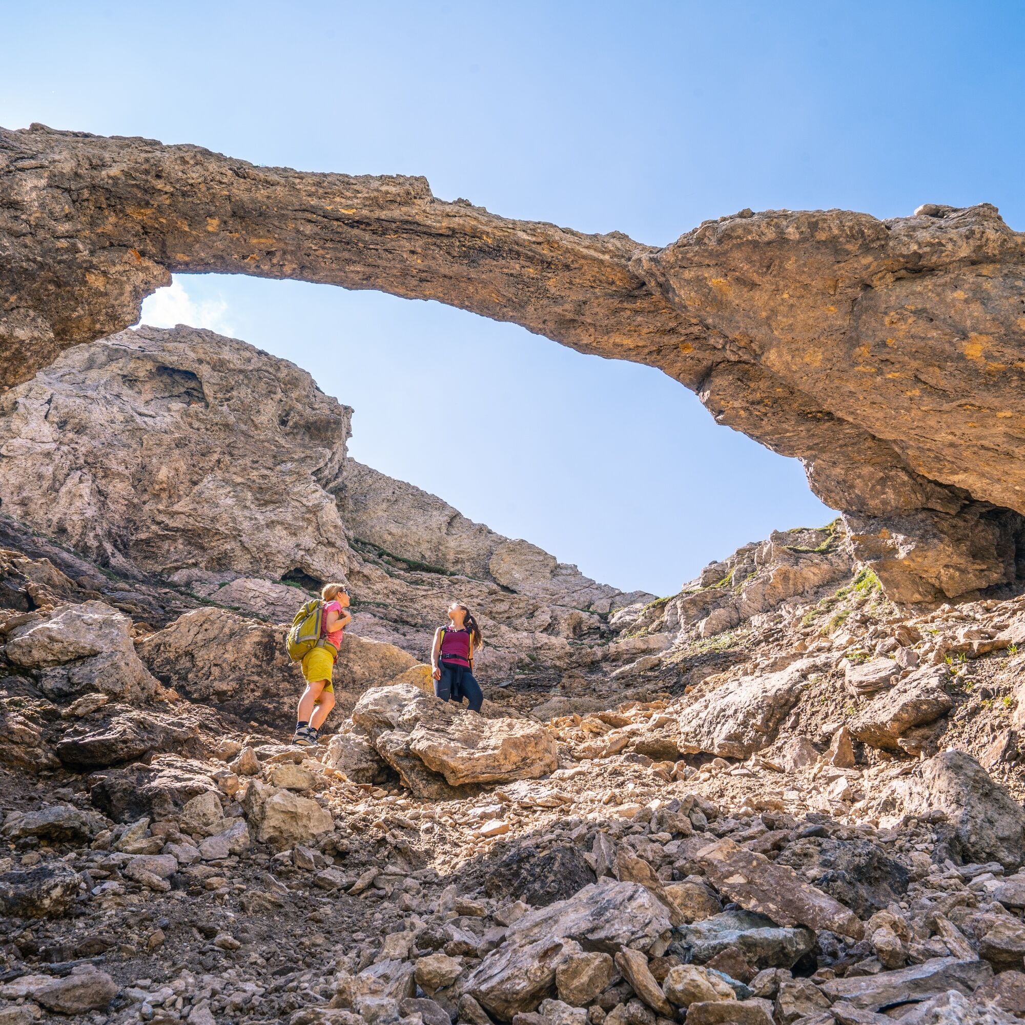
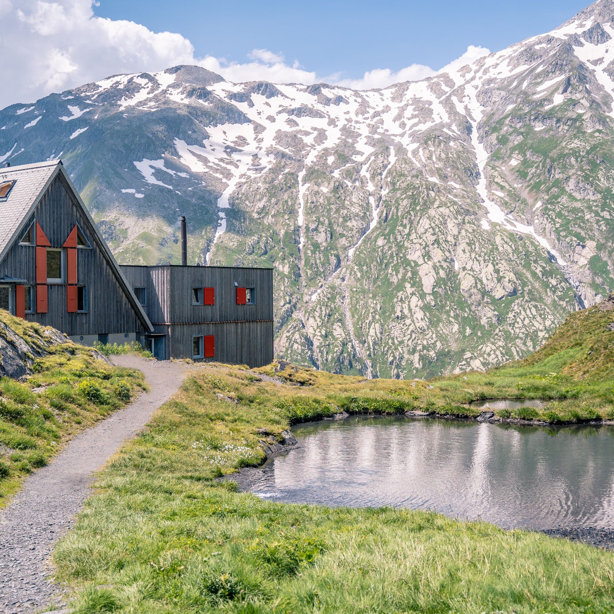
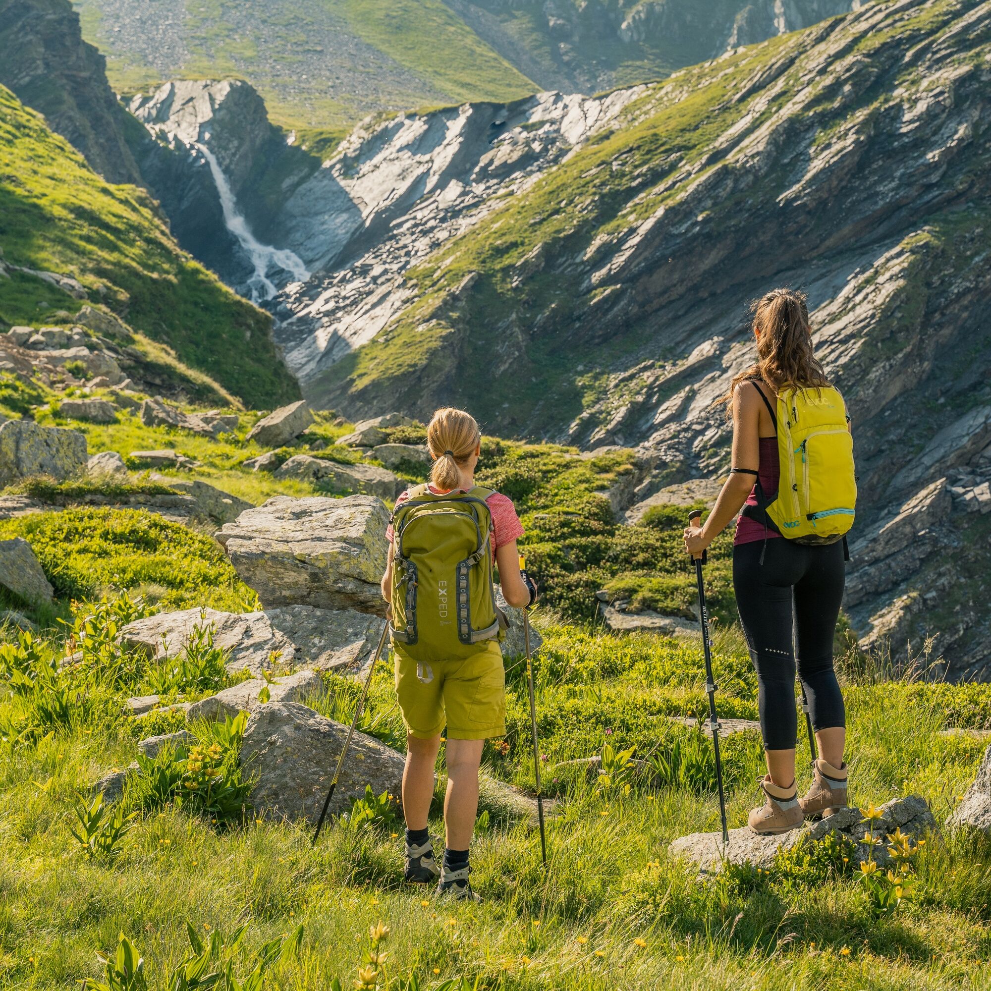

The route runs through an Alpine environment and requires excellent physical fitness, experience on mountain trails and appropriate equipment. Before setting off, check the weather and trail conditions. Conditions at higher altitudes can change rapidly. Do not attempt the route in case of snow, ice, thunderstorms or adverse weather conditions.
T3
The route follows the Classic Greina Trail, the most iconic race of the Greina Trail event. Discover the Greina Trail!
Webcams del recorrido

Rutas populares en los alrededores
-
5,0
Recorrido panorámico
luzSenderismo 5,39 km -
5,0
Caminata de 2 días por la meseta Greina
pesadoSenderismo 15,5 km -
3,3
Caminata de los 3 lagos
medioSenderismo 12,8 km -
Giro della Greina
Senderismo 50,6 km -
5,0
Caminata invernal Gadastatt - Frunt - Zerfreila (Camino panorámico)
luzSenderismo de invierno 5,36 km -
4,5
Fanellhorn 3124 m
pesadoExcursión de alta montaña 6,86 km -
5,0
Día de senderismo de Suiza sudoriental Vals 2017
luzSenderismo 11,8 km -
4,8
Recorrido del Puente Tibetano Riasc
luzSenderismo 6,12 km -
5,0
Von Disentis (Zentrum) über La Pendenta (Hängebrücke) zur Alte Brücke Vorderrhein - Rundweg (Disentis/Mustér, Graubünden/Schweiz)
medioSenderismo 4,11 km -
Furggelti 2712m
pesadoSenderismo 18,7 km

Senderismo y rastreo


No se pierda las ofertas y la inspiración para sus próximas vacaciones
Su dirección de correo electrónico se ha añadido a la lista de correo.


