



Dolomiten-Panoramaweg Panoramic Trail on the Plose Mountain

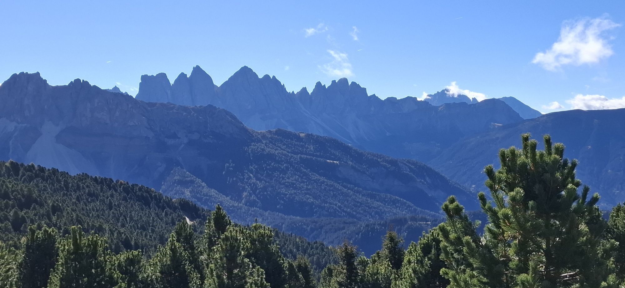
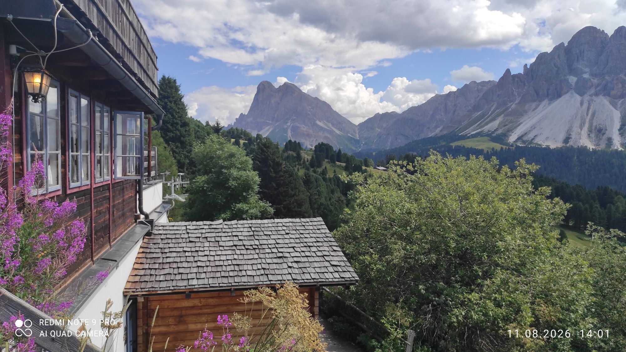
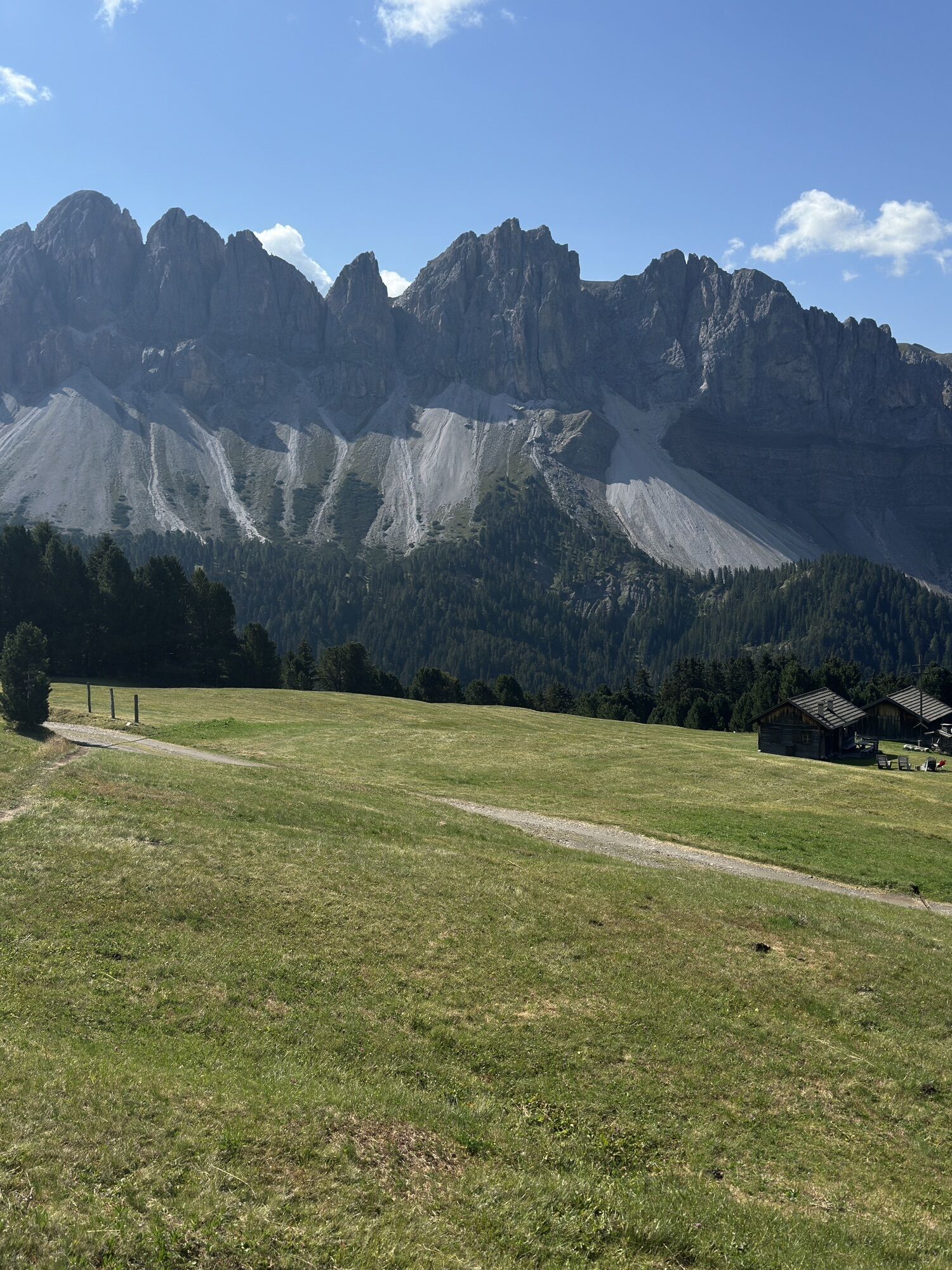
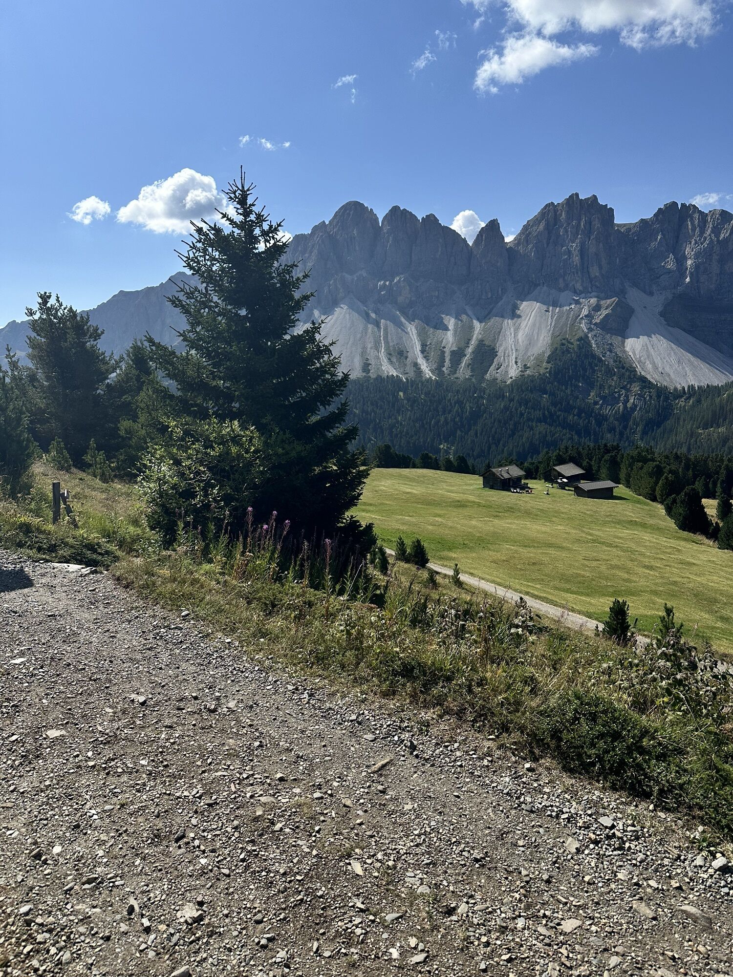
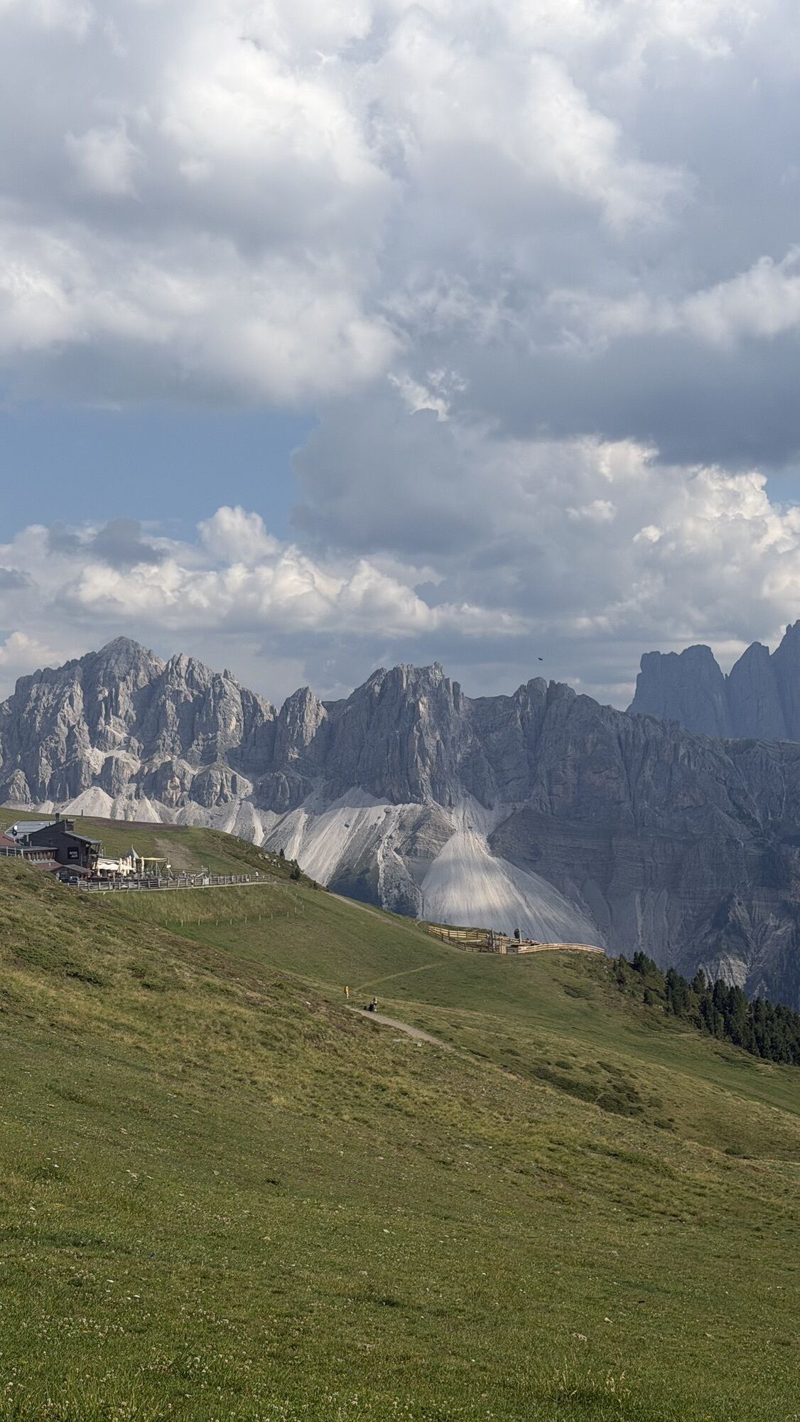


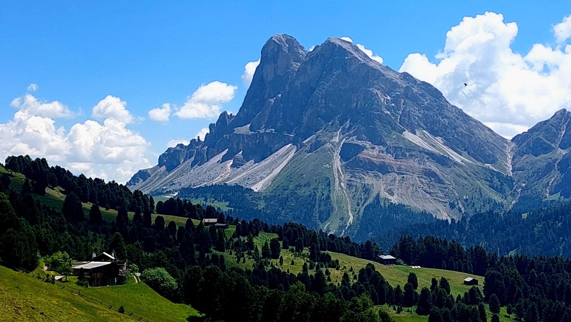


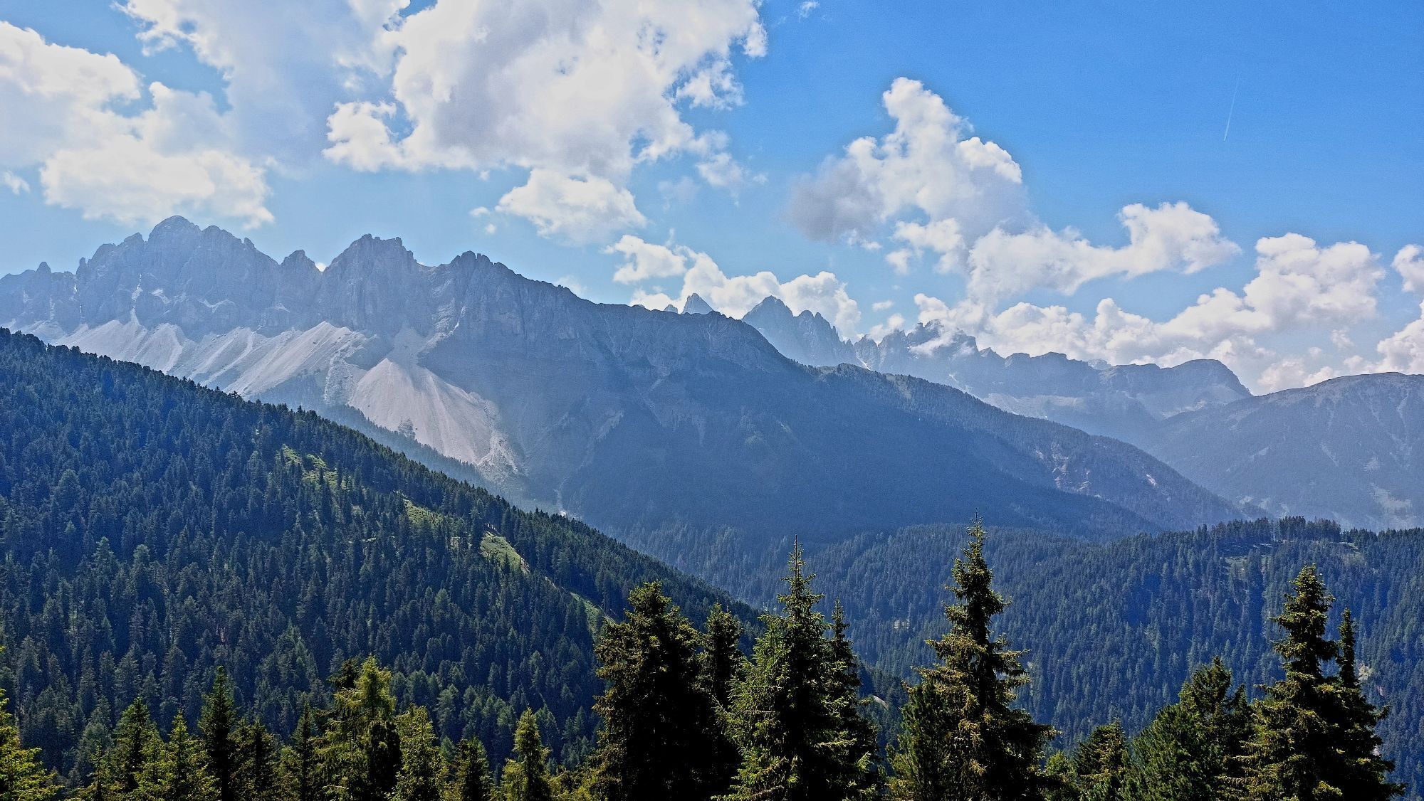
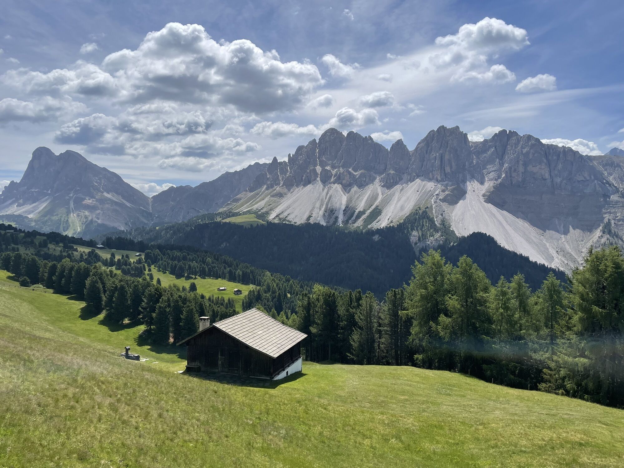


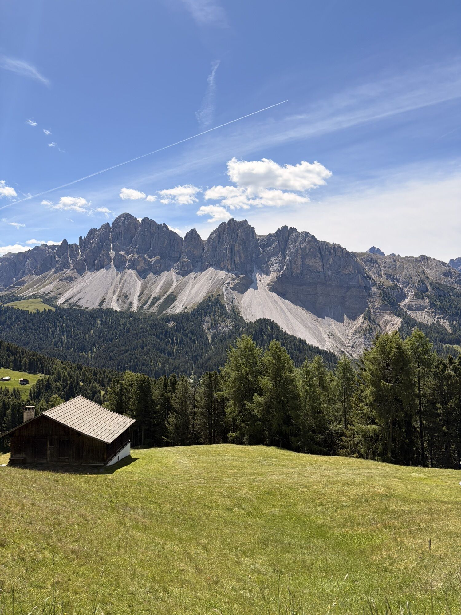
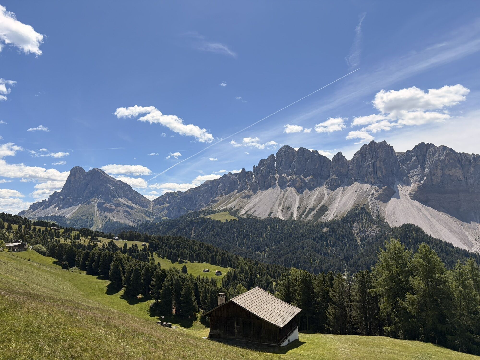


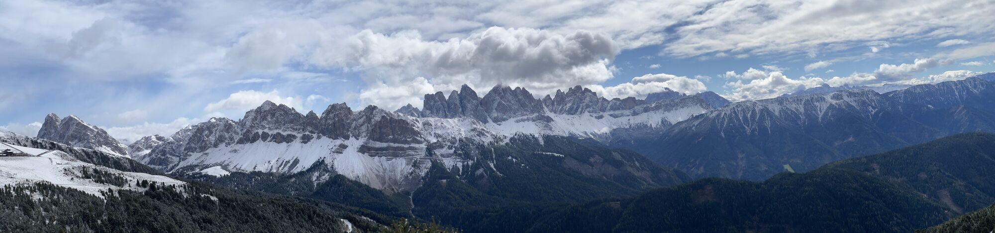
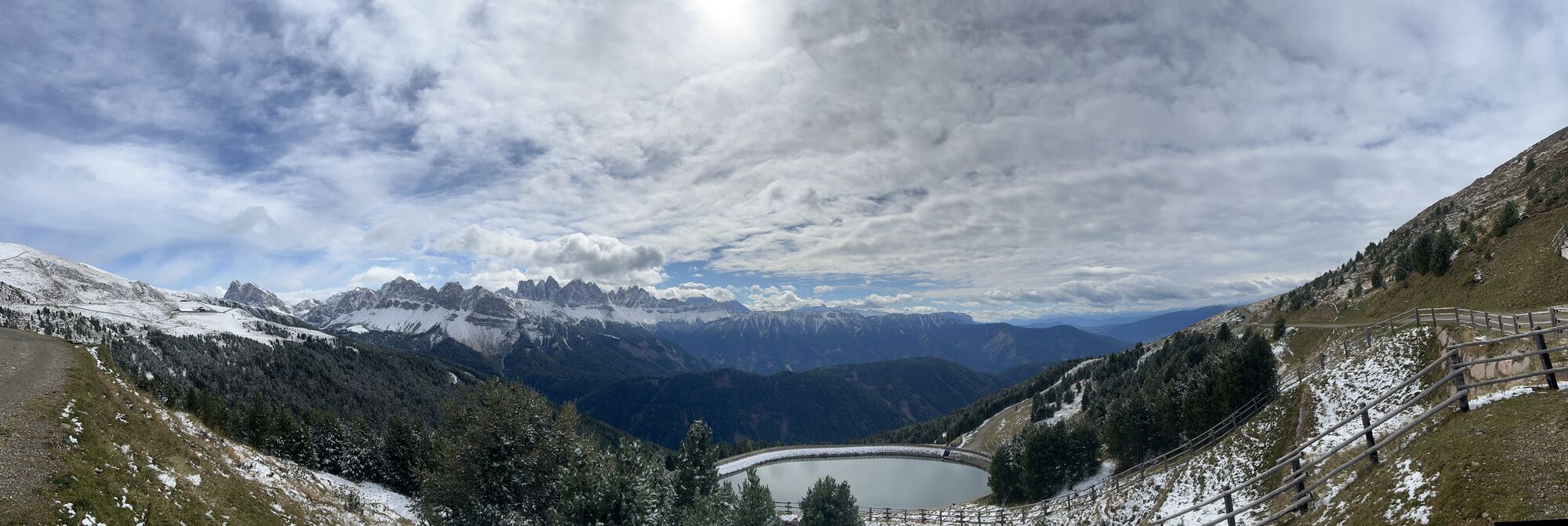
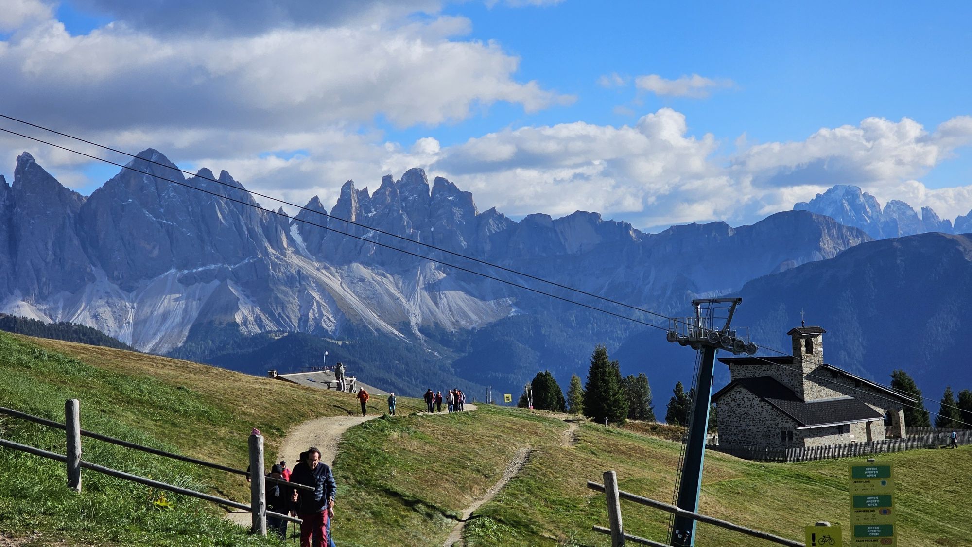
Starting at the Plose gondola lift mountain station in Kreuztal/Valcroce (2,050 m), the Dolomites Panoramic Trail (Dolomiten Panoramaweg in German) turns left along trail no. 14 up the track to the Rossalm...
Starting at the Plose gondola lift mountain station in Kreuztal/Valcroce (2,050 m), the Dolomites Panoramic Trail (Dolomiten Panoramaweg in German) turns left along trail no. 14 up the track to the Rossalm mountain pasture (2,200 m). From there, the Gabler-Almstraße mountain pasture road branches off slightly uphill to the hollow on the upper Schnatzengraben ditch (still on trail no. 14). Ascending the grassy slope of the Großer Gabler mountain on a slight gradient (please remember to close the gate at the fence), the trail leads to the Gabler Hinteralm mountain pasture. Across the open meadow above the ditch, descend down the Putzjoch ridge, which opens up on a spectacular close-up view of the Peitlerkofel peak.
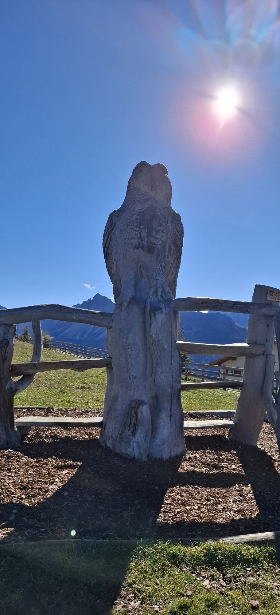
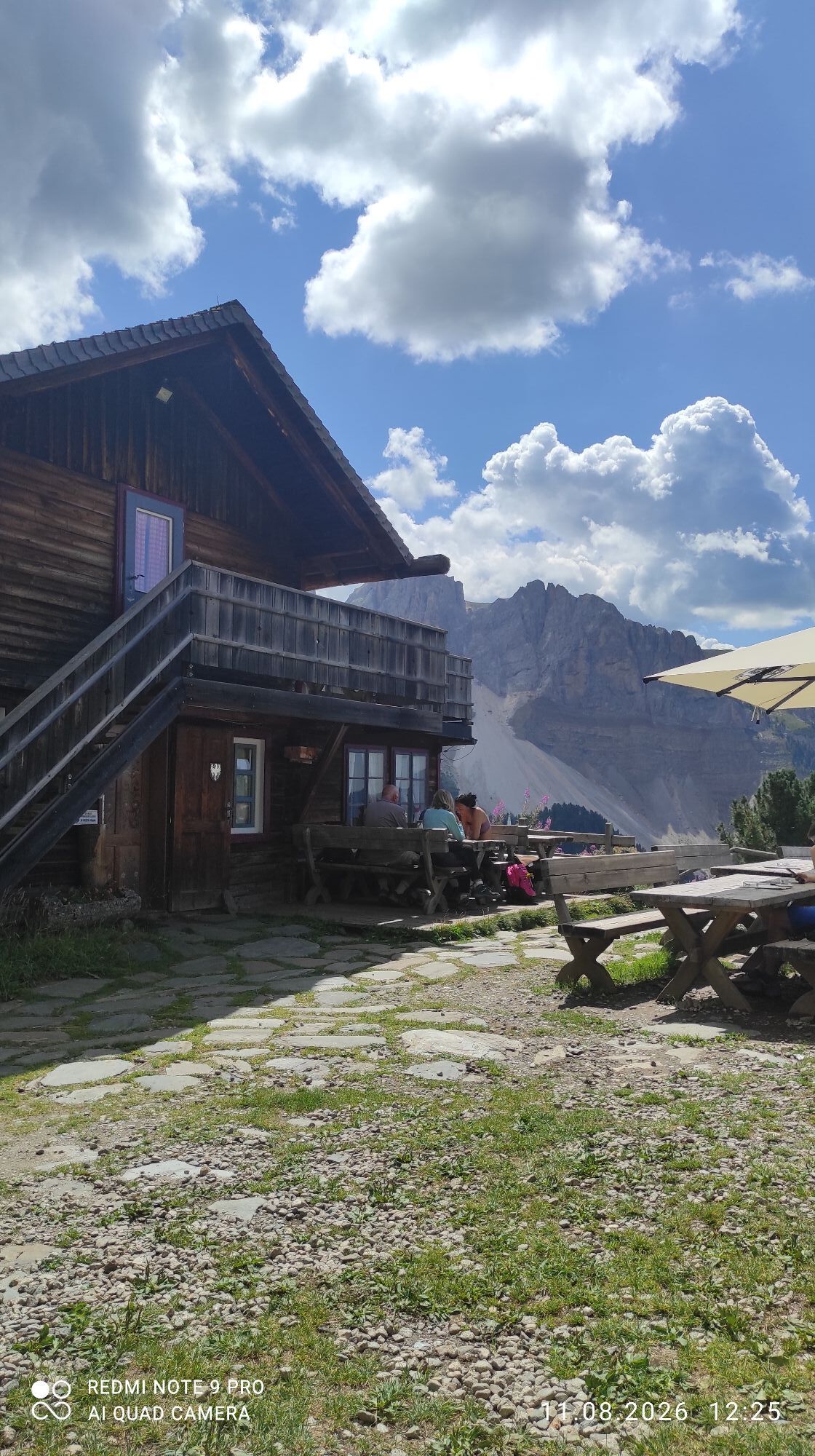
Continue slightly downhill over the Alpine pasture along trail no. 14/A, which leads west to the Schatzerhütte mountain hut (2,004 m). Follow trail no. 8 on an easy walk along the Gampenwiesenweg Trail to the parking area at the Innerpalmschoß ski hut near the valley station of the Pfannspitz gondola lift. Cross the ski slopes along trail no. 17 (WoodyWalk) back to the Plose gondola lift mountain station in Kreuztal.


Sí


Rutas populares en los alrededores
-
4,8
Peitlerkofel hiking circuit
medioSenderismo 12,9 km -
4,8
The Munkelweg trail beneath the Geisler peaks
medioSenderismo 9,11 km -
4,3
The Brixen High Mountain Trail on the Plose Mountain
medioSenderismo 10,9 km -
4,5
Three summits tour on the Plose above Brixen
medioSenderismo 12,8 km -
4,7
Vom Col Raiser über die Seceda und Pieralongia zur Regensburger Hütte
medioSenderismo 10,4 km -
4,5
Seceda und Regensburger Hütte
medioSenderismo 14,1 km -
4,7
Raschötz Umrundung
luzSenderismo 14,2 km -
4,8
Steviahütte - Nadelscharte, Regensburger Hütte
medioSenderismo 10 km -
4,8
WoodyWalk
Senderismo 10,9 km -
4,5
Der Raschötzer Höhenweg
Senderismo 12,2 km
Senderismo y rastreo


No se pierda las ofertas y la inspiración para sus próximas vacaciones
Su dirección de correo electrónico se ha añadido a la lista de correo.


