


The Keschtnweg chsestnut trail from Brixen to Klausen
Fotos de nuestros usuarios
-
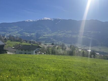
 © Iris PerkmannCreado el 23.12.2025
 -
 © Iris PerkmannCreado el 23.12.2025
 -
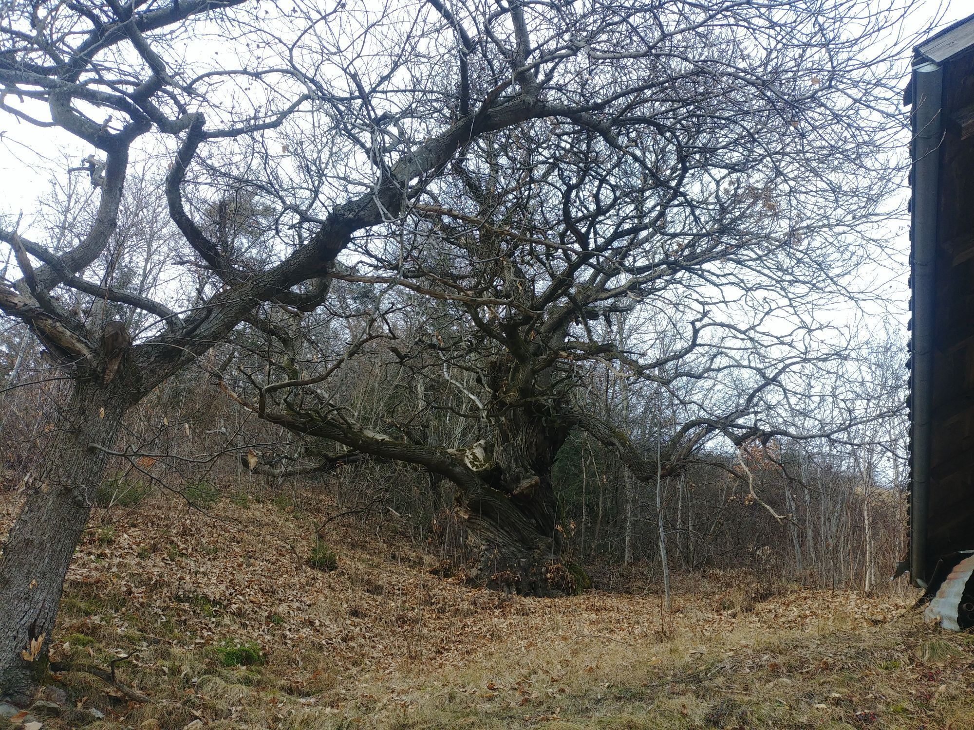
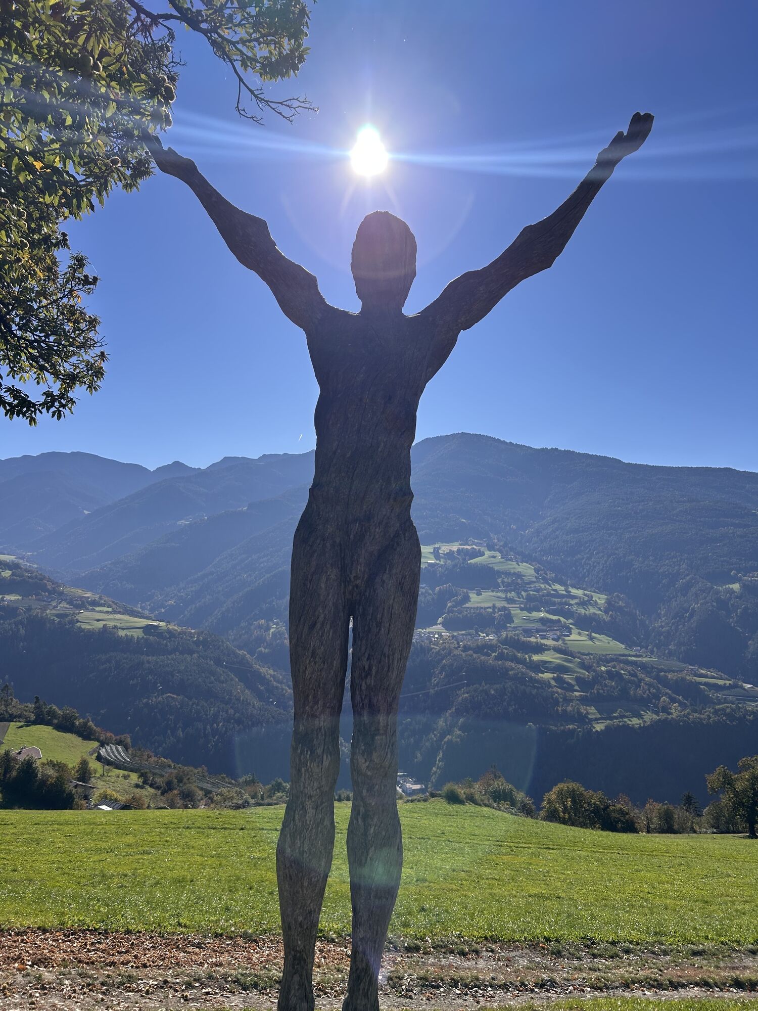
 © Andreas ZenleserCreado el 12.10.2025
 -
 © Andreas ZenleserCreado el 12.10.2025
 -
 © Andreas ZenleserCreado el 12.10.2025
 -
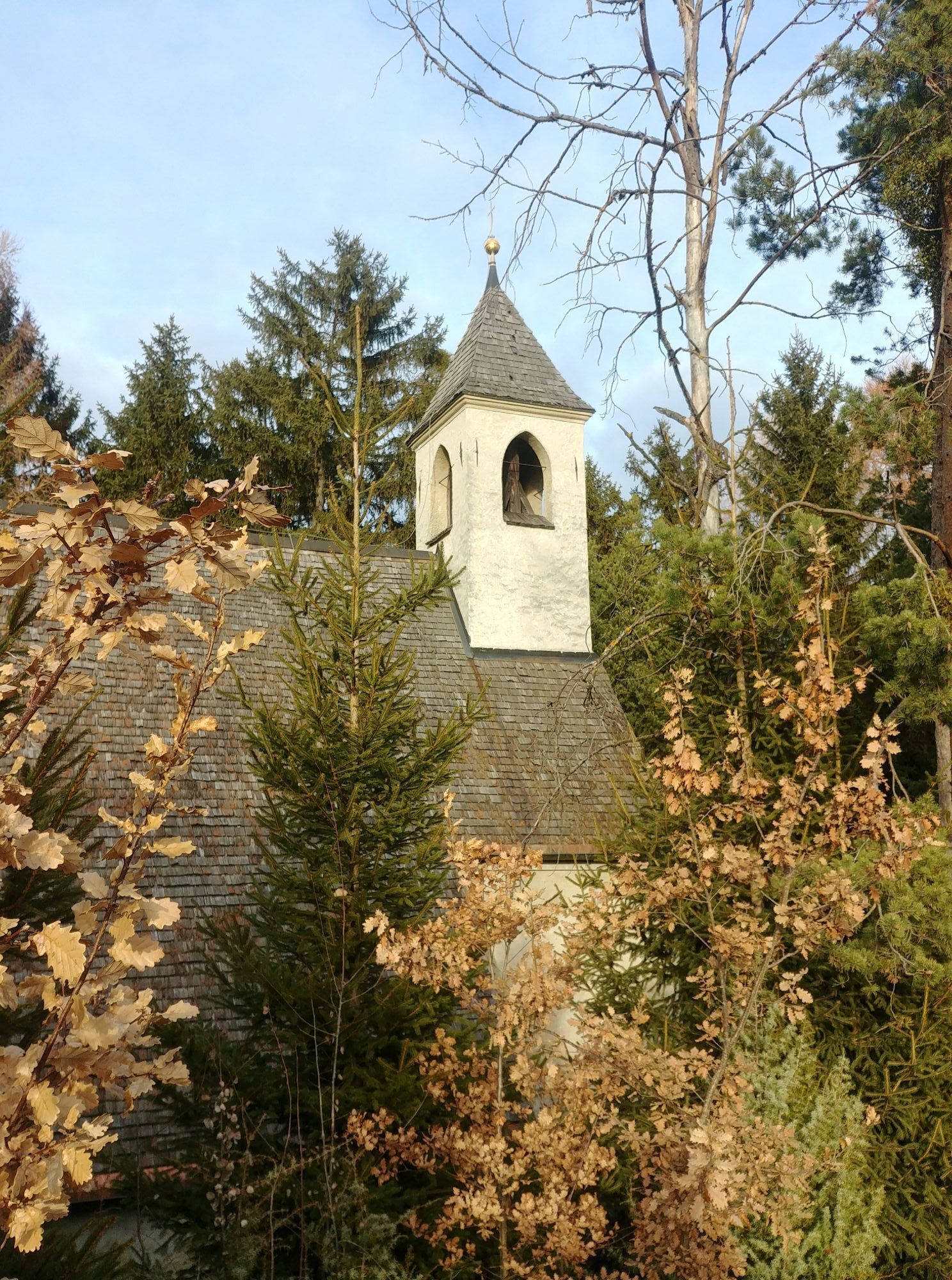
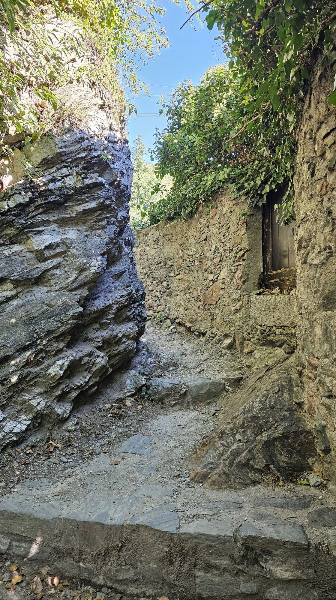
 © Grieshofer GerlindeCreado el 02.10.2025
 -
 © Grieshofer GerlindeCreado el 02.10.2025
 -
 © Grieshofer GerlindeCreado el 02.10.2025
 -
 © Grieshofer GerlindeCreado el 02.10.2025
 -
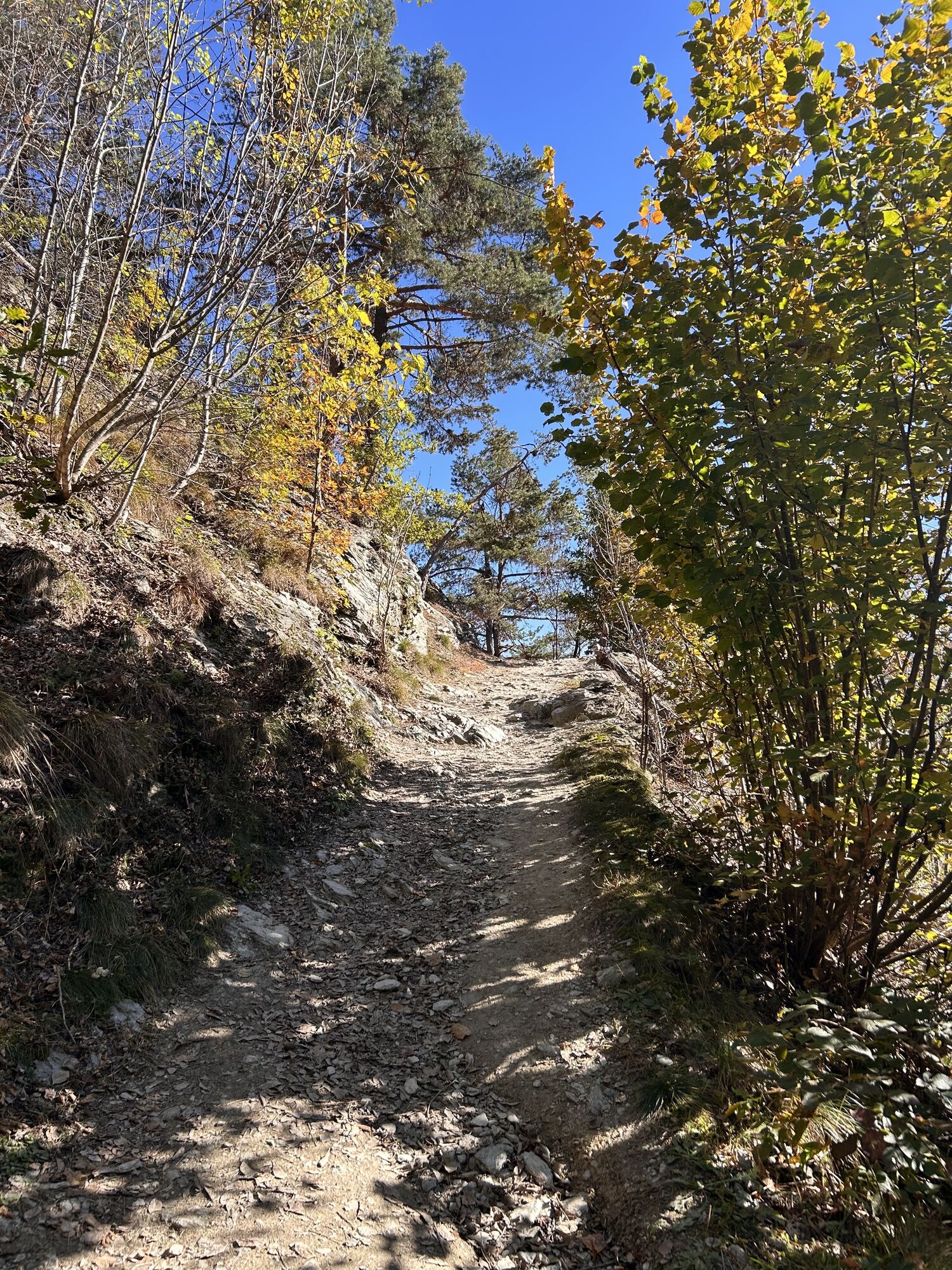
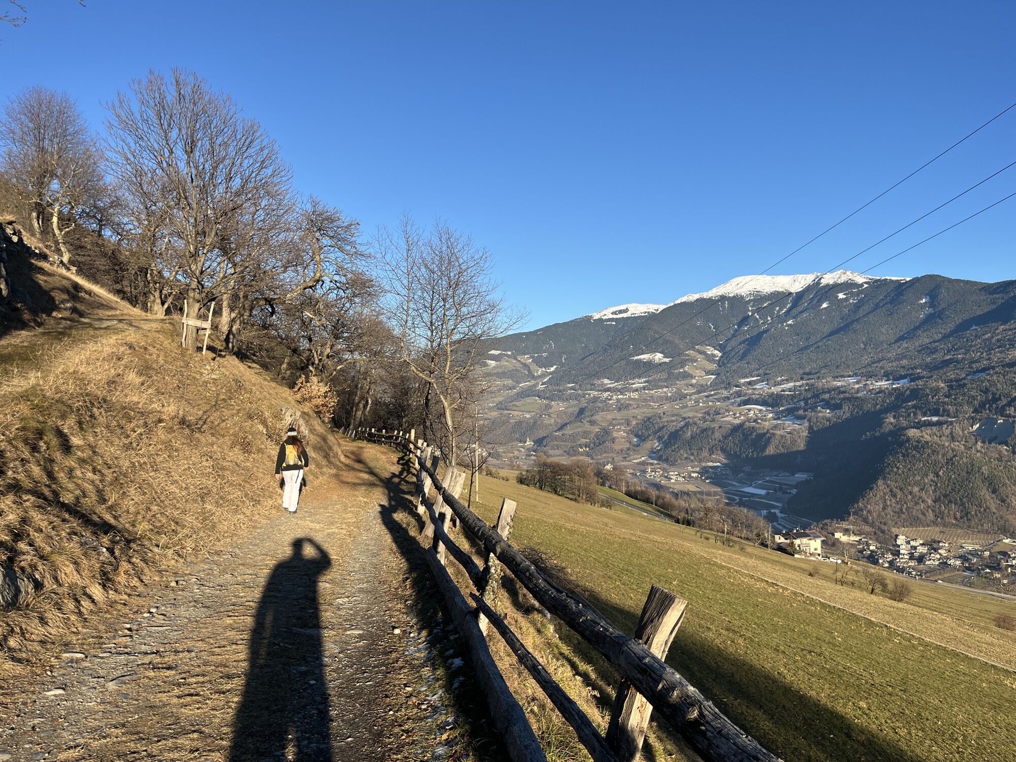
 © Andreas SchnurCreado el 09.03.2025
 -
 © Andreas SchnurCreado el 09.03.2025
 -
 © Stefano “Iddo”Creado el 29.12.2024
 -
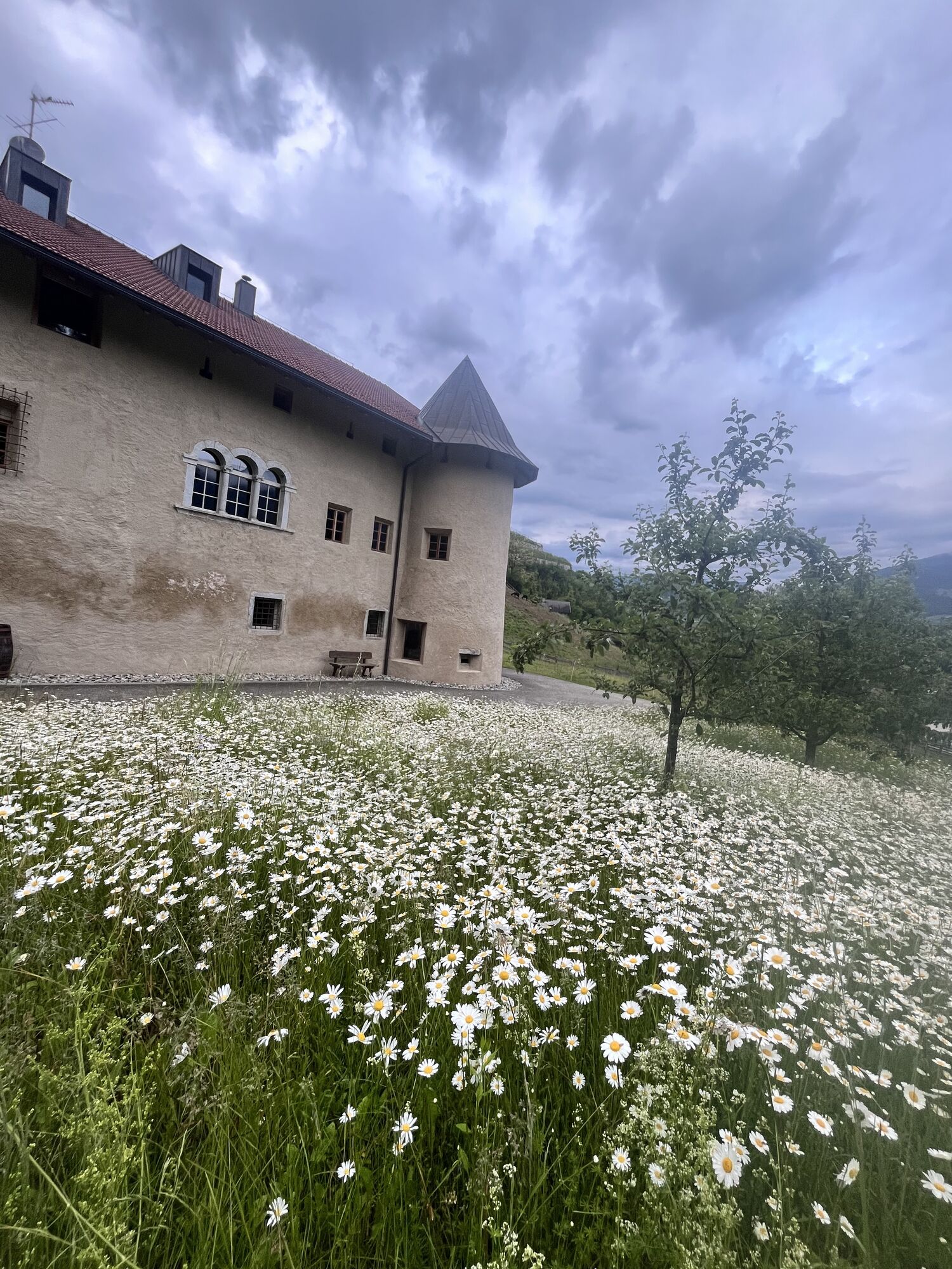
 © Walter SchatzerCreado el 27.05.2024
 -
 © Stefano “Iddo”Creado el 05.04.2024
 -
 © Stefano “Iddo”Creado el 05.04.2024
 -
 © Stefano “Iddo”Creado el 25.03.2024
 -
 © Stefano “Iddo”Creado el 25.03.2024
 -
 © Stefano “Iddo”Creado el 25.03.2024
 -
 © Gerry GirardiCreado el 10.11.2025
 -
 © Stefano “Iddo”Creado el 14.05.2025
 -
 © Stefano “Iddo”Creado el 14.05.2025
 -
 © Stefano “Iddo”Creado el 14.05.2025
 -
 © Stefano “Iddo”Creado el 12.04.2025
 -
 © Stefano “Iddo”Creado el 12.04.2025
 -
 © Stefano “Iddo”Creado el 12.04.2025
 -
 © Stefano “Iddo”Creado el 12.04.2025
 -
 © Stefano “Iddo”Creado el 12.04.2025
 -
 © Stefano “Iddo”Creado el 12.04.2025
 -
 © Stefano “Iddo”Creado el 12.04.2025
 -
 © Stefano “Iddo”Creado el 12.04.2025
 -
 © Stefano “Iddo”Creado el 12.04.2025
 -

 © ReinspergerCreado el 22.08.2023


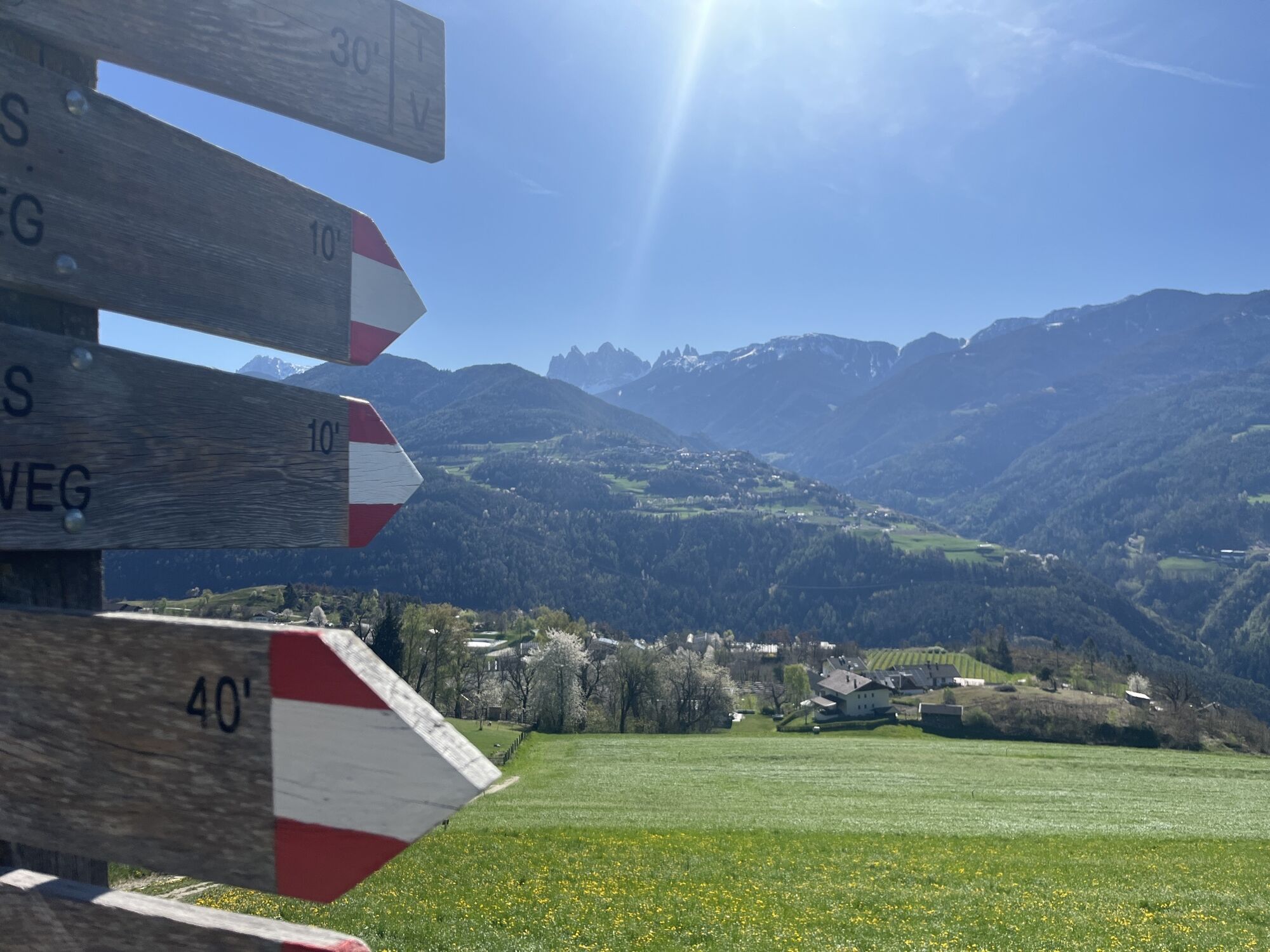

The hike along the Keschtnweg starts opposite the Forum Brixen (car park). Follow the St. Cyrillusweg Trail along route E10 and trail no. 8 over the Burgfriedengasse lane beneath the motorway to the South...
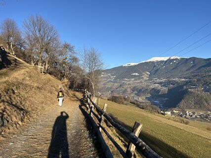
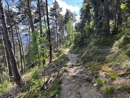
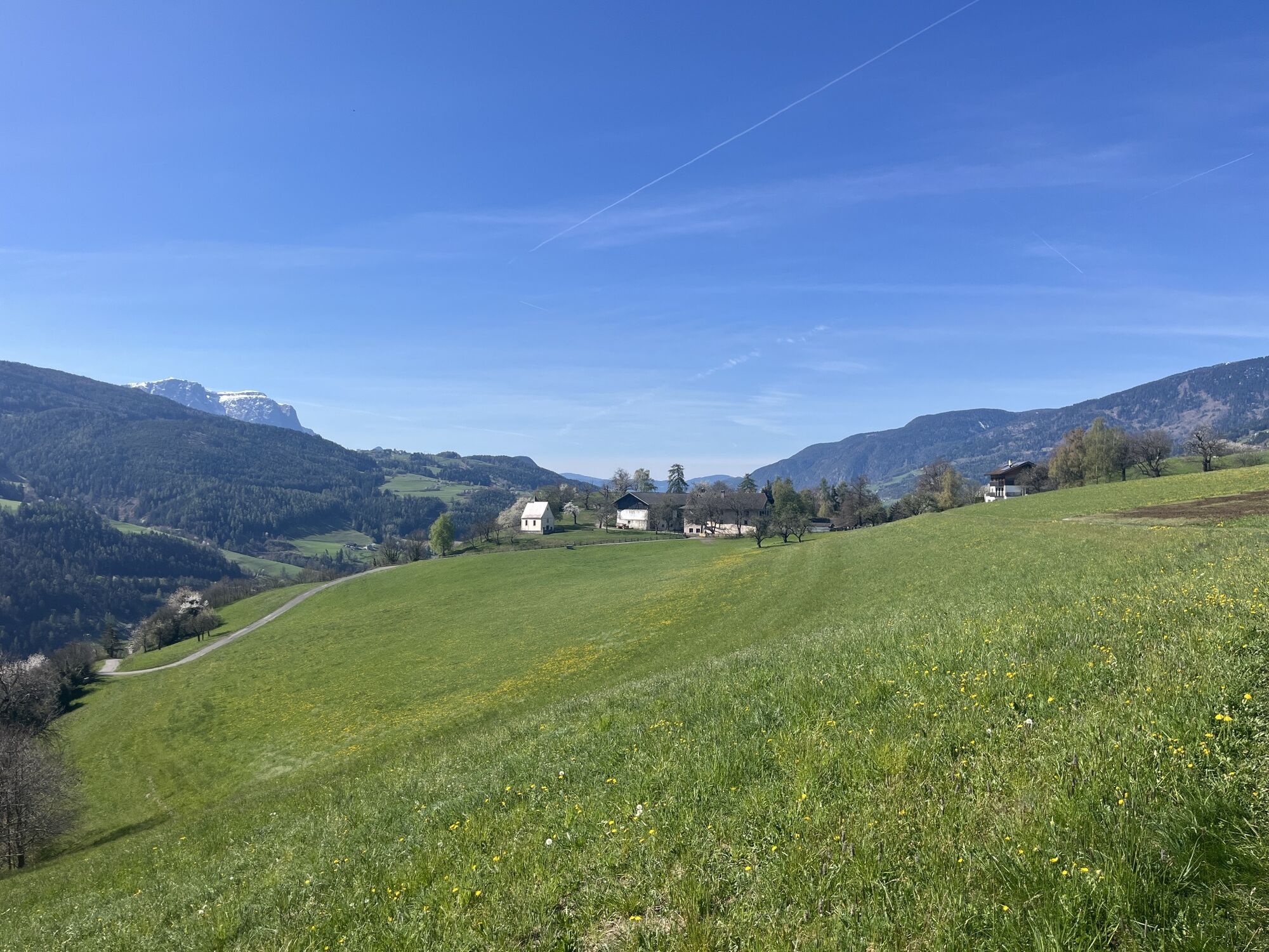
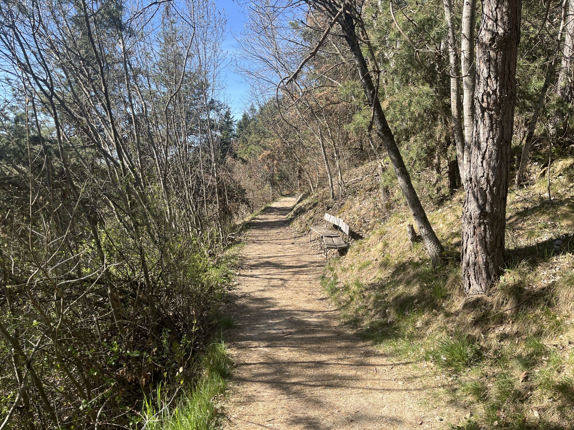
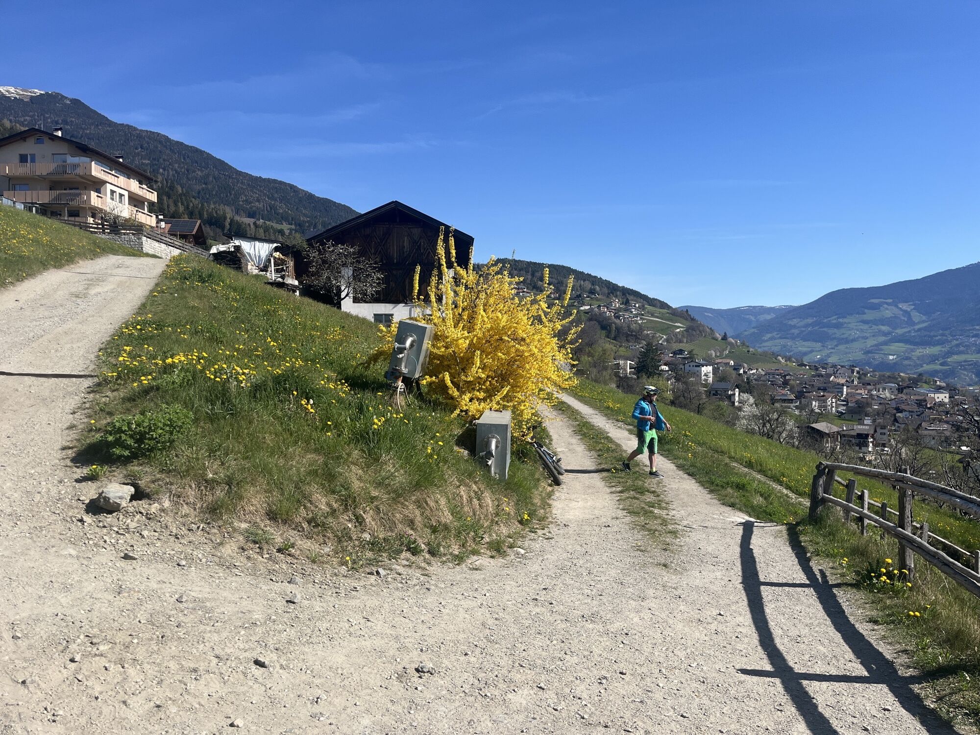
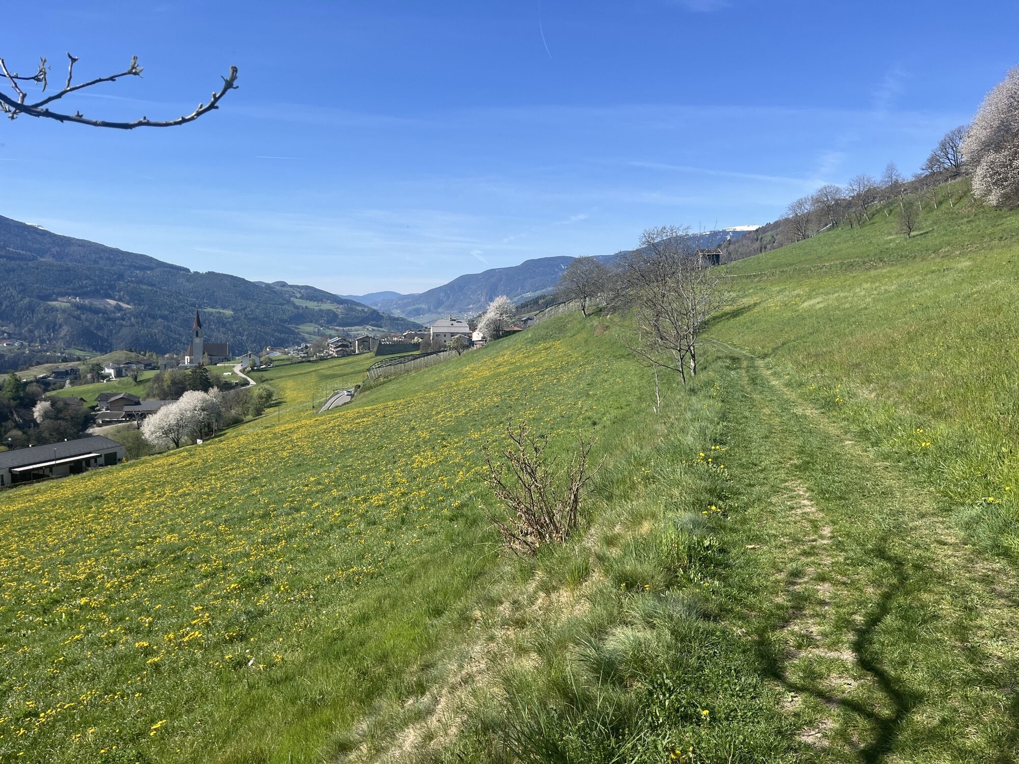
The hike along the Keschtnweg starts opposite the Forum Brixen (car park). Follow the St. Cyrillusweg Trail along route E10 and trail no. 8 over the Burgfriedengasse lane beneath the motorway to the South Tyrolean Children's Village (Südtiroler Kinderdorf). Cross over the Talhofer ditch and turn right onto the tar road at the bridge, following the Europa-Besinnungsweg meditation path to St. Cyrillus Church. Continue along the Keschtnweg as it leads to Breitwieser-Hof farm and over a field path down to the Zimmermann-Hof farm before the tar road and ascend to the village of Pinzagen. Head south along the flat meadow path to the Rittner Höfe farms and the Sader-Hof farm (rest stop) as far as Tötschling. Bear right and cross through the pine forest to the Wöhrmann-Hof farm (rest stop). The Keschtnweg leads through the fields across mostly flat paths to Ziernfelder Hof farm and down the Schnauderer Straße street to Feldthurns/Velturno.
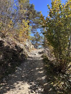
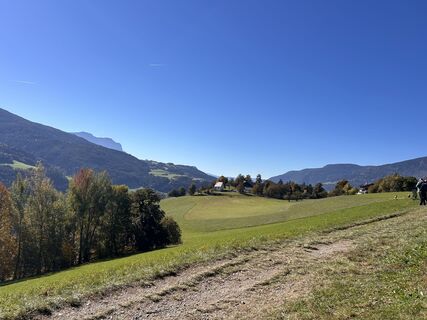
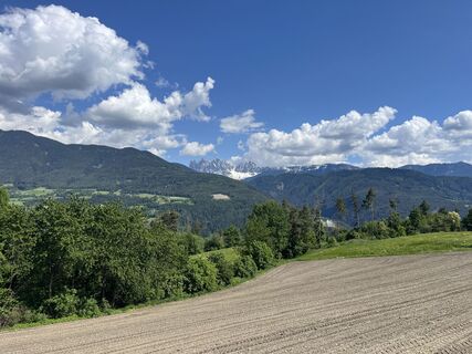
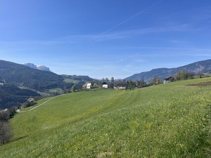
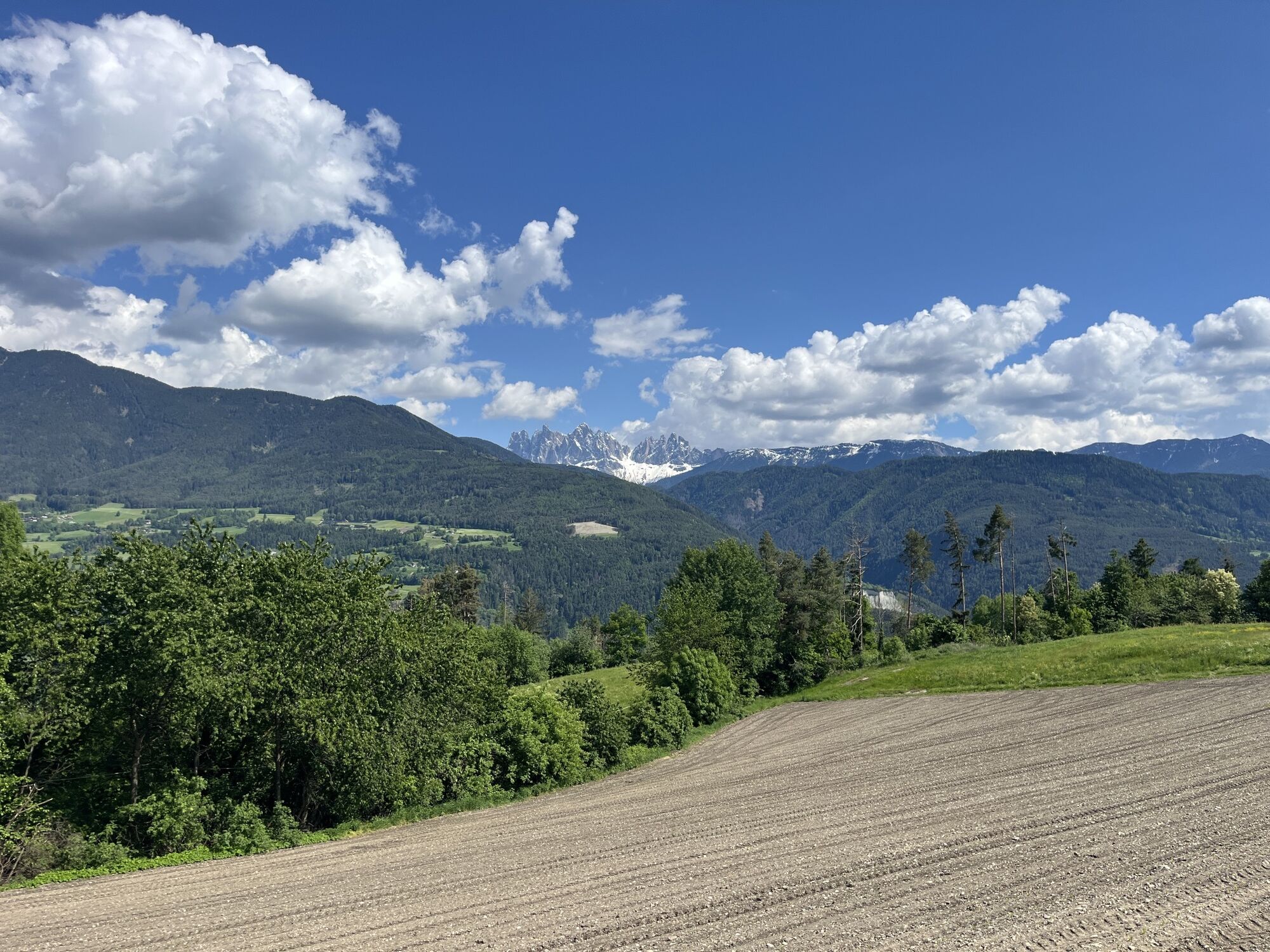
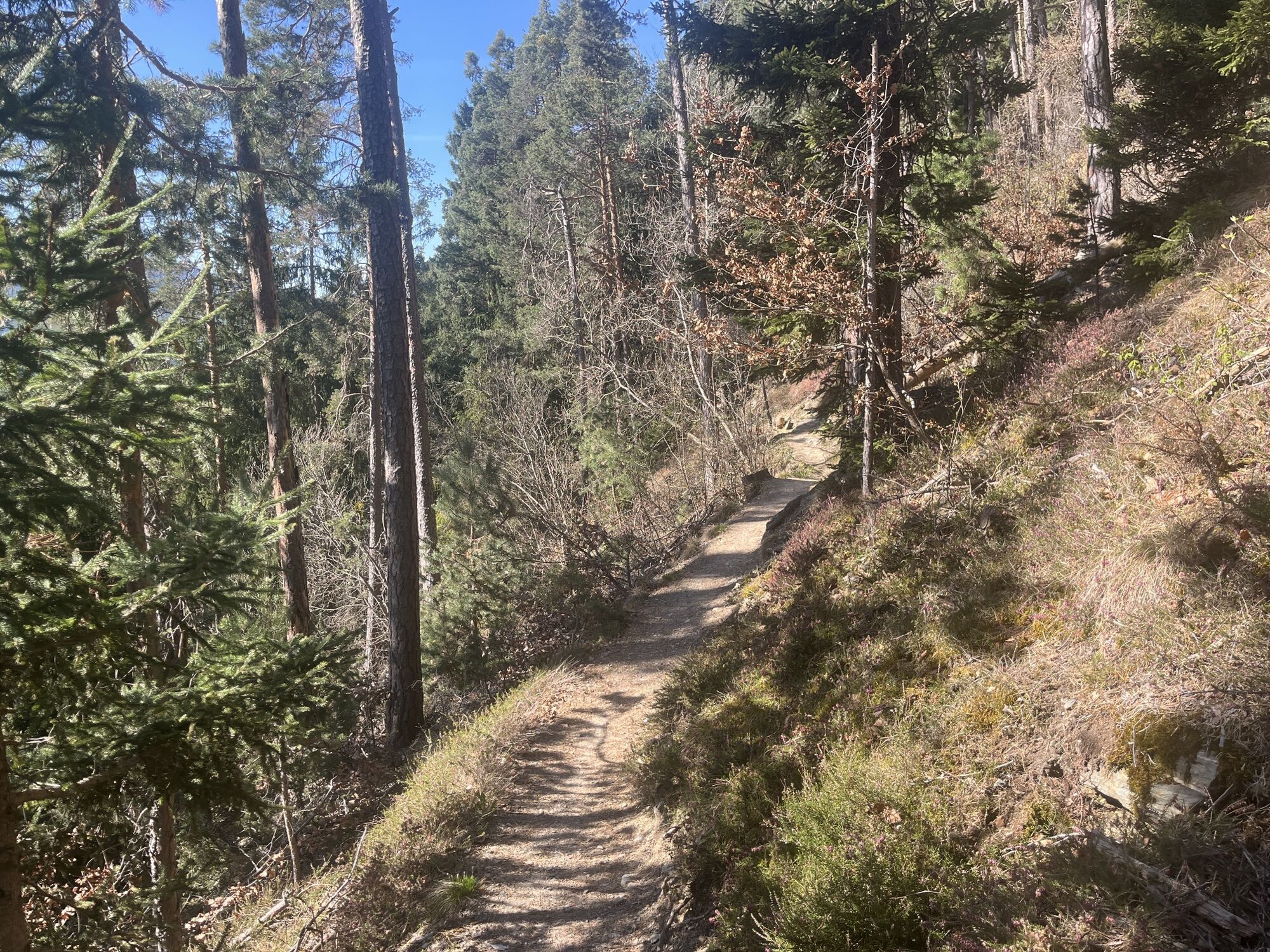
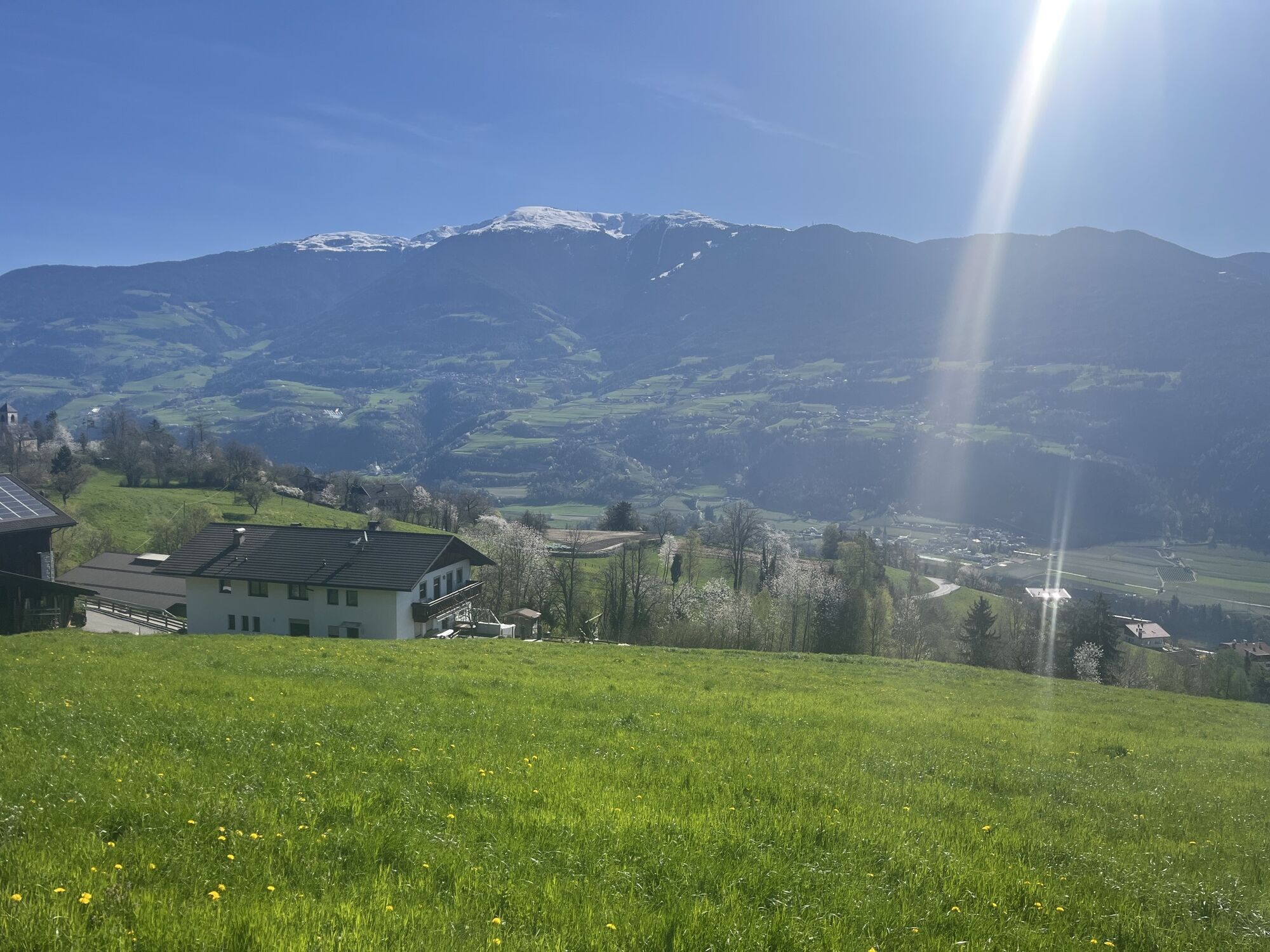
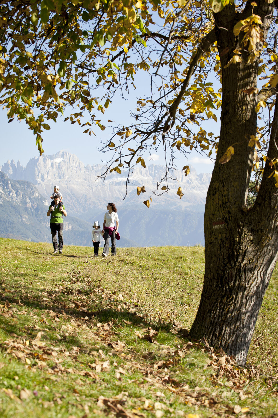
Follow the route through the centre of Feldthurns to Pedratz. At the Radoar-Hof farm (rest stop), take the dirt track up a short steep climb on to a wide farm road, which leads through an enchanting chestnut grove (the Keschtnloach in German) to the Weinbrenner-Hof farm. The trail continues for about 30 min to Moar zu Viersch, a picturesque farmstead looking out on the majestic peaks of the Geisler mountains.
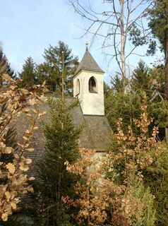
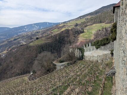
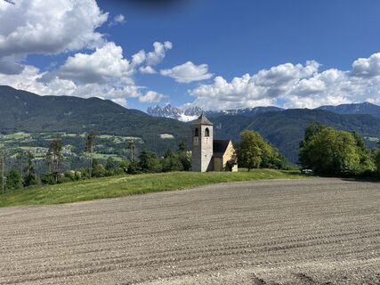
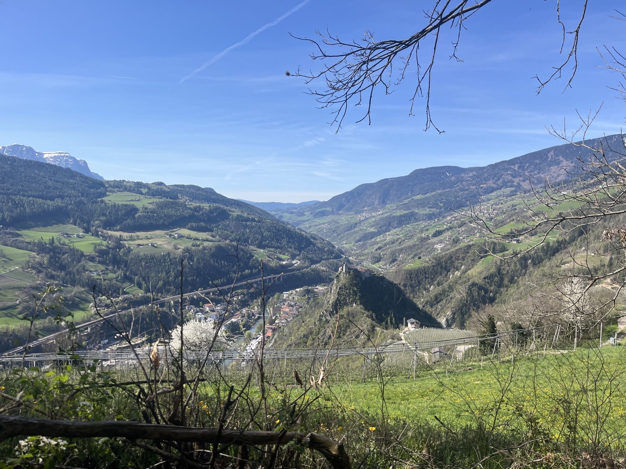
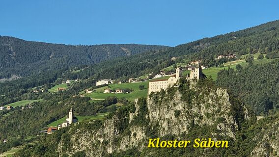
Across the chestnut groves and through the orchards, the trail comes to the settlement of Pardell, where you pass the Huberhof farm (rest stop) looking out on the Säben Abbey and over the lower Eisacktal Valley. The short, steep path leads up to the imposing Benedictine monastery complex Säben, with its churches and chapels.
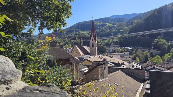
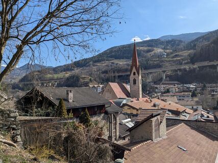
The descent is along a paved road to the medieval town of Klausen/Chiusa, a long-standing destination for travellers, pilgrims and famous artists.
Sí
Rutas populares en los alrededores
-
4,7
The Munkelweg trail beneath the Geisler peaks
medioSenderismo 9,11 km -
4,6
Puflatsch Umrundung
luzSenderismo 8,37 km -
4,7
Panoramawanderung zum Königsanger und Schutzhaus Radlsee
Senderismo 12,0 km -
4,4
Three summits tour on the Plose above Brixen
medioSenderismo 12,8 km -
4,3
Seceda und Regensburger Hütte
medioSenderismo 14,1 km -
4,0
The Brixen High Mountain Trail on the Plose Mountain
medioSenderismo 10,9 km -
3,3
Wanderung zum höchsten Wallfahrtsort Europas - Latzfonser Kreuz - Kassianspitze
Senderismo 7,37 km -
4,5
Vom Col Raiser über die Seceda und Pieralongia zur Regensburger Hütte
medioSenderismo 10,4 km -
3,9
Auf dem Keschtnweg nach Klausen
medioSendero temático 5,73 km -
4,5
Der Raschötzer Höhenweg
Senderismo 12,2 km
Senderismo y rastreo


No se pierda las ofertas y la inspiración para sus próximas vacaciones
Su dirección de correo electrónico se ha añadido a la lista de correo.