






Almhüttenrundweg im Pfunderertal

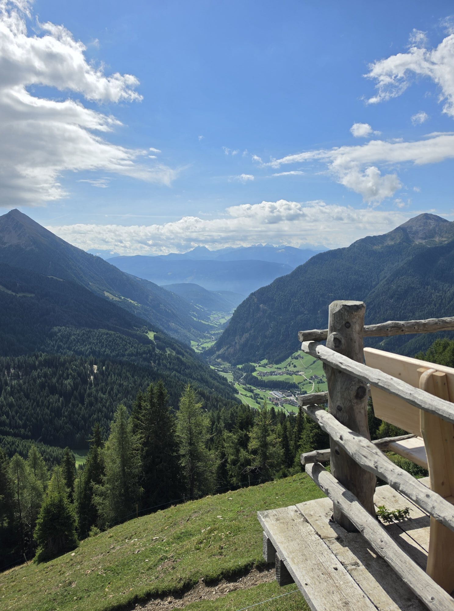
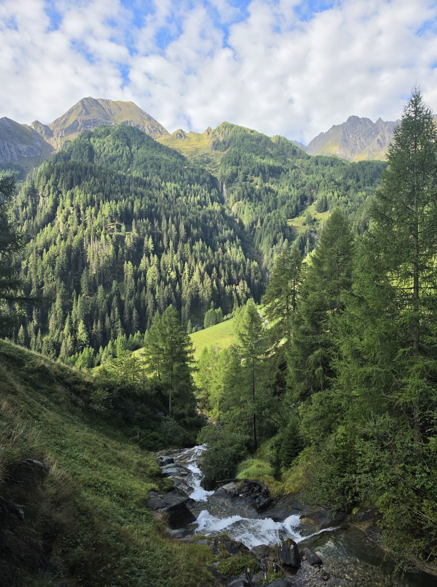
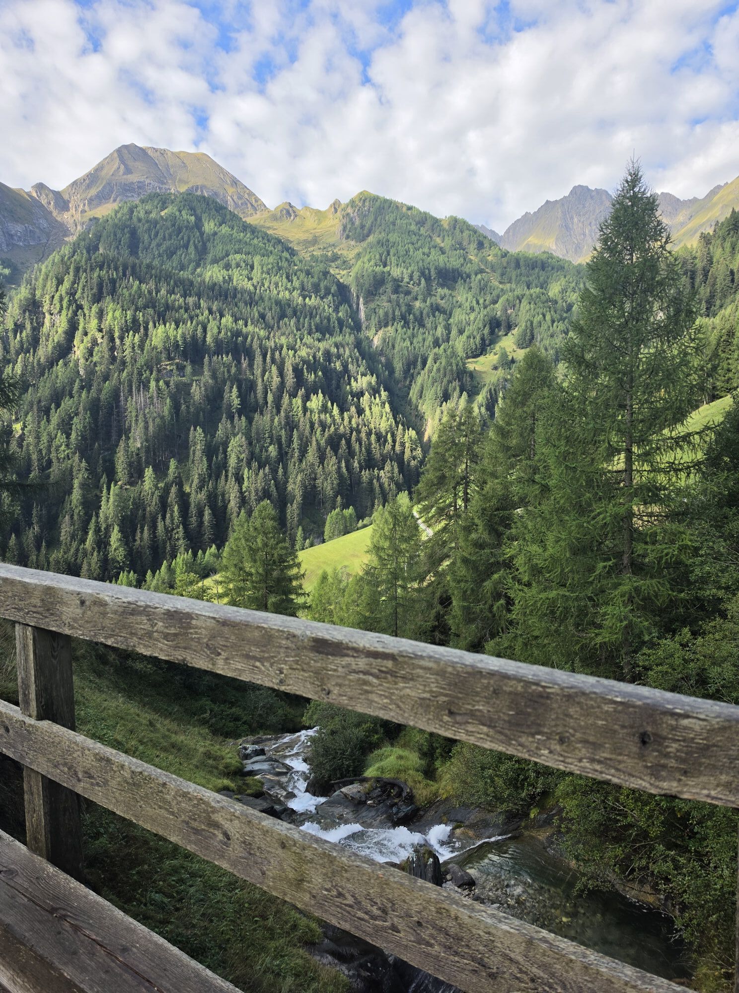
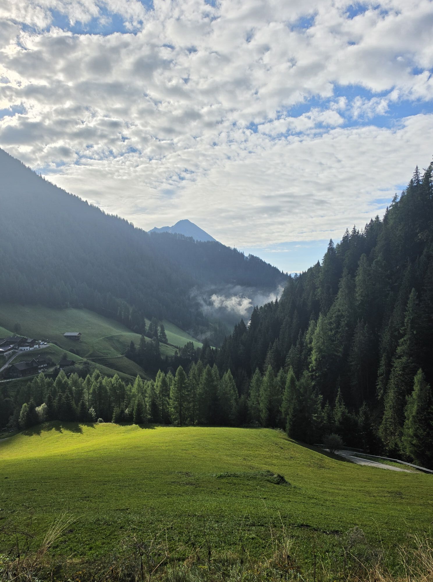
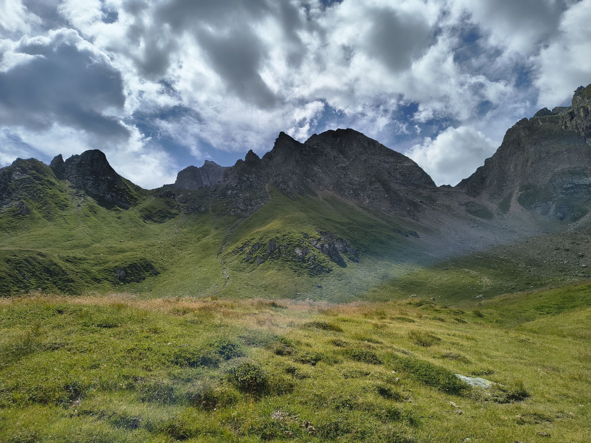
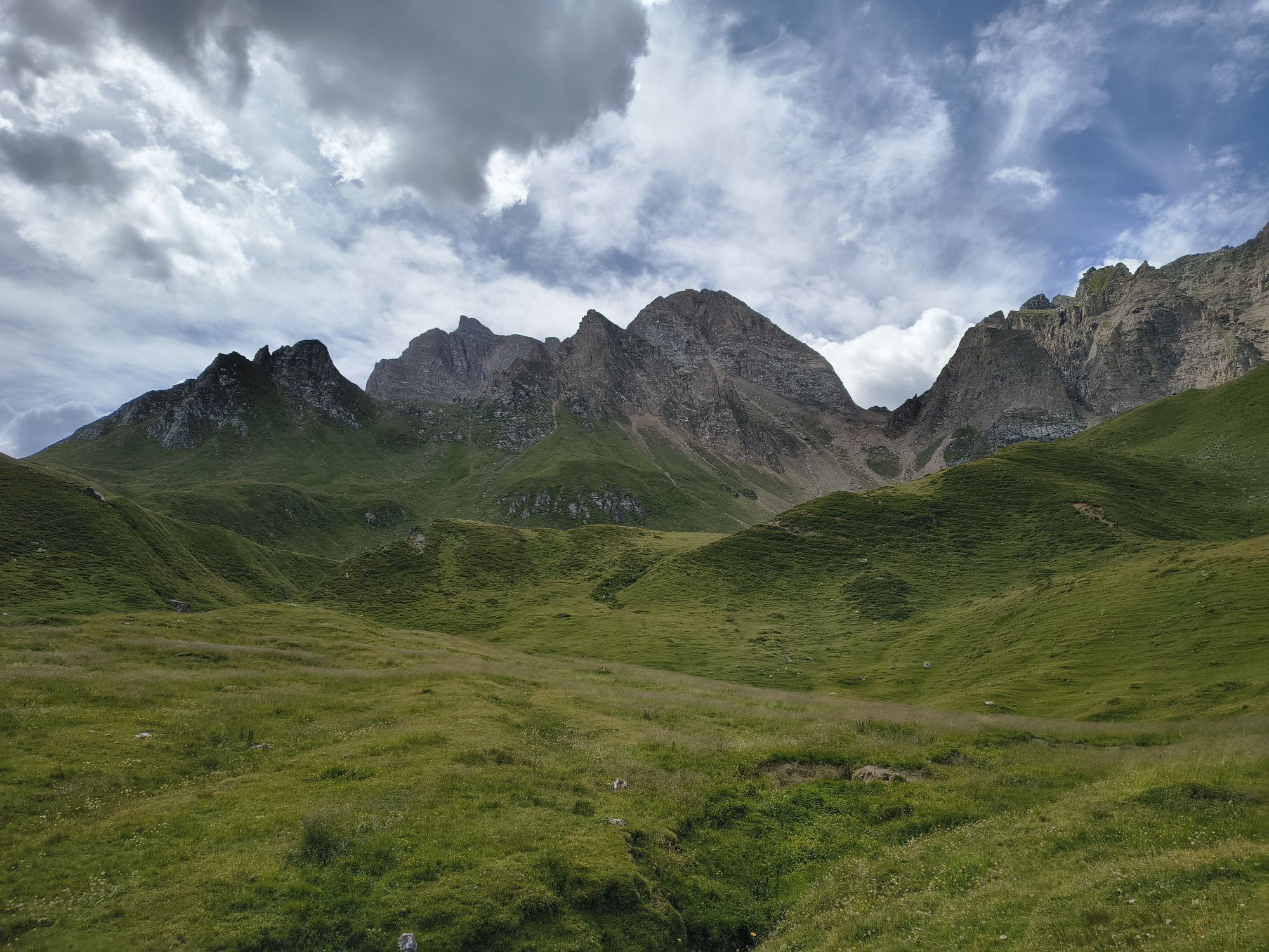
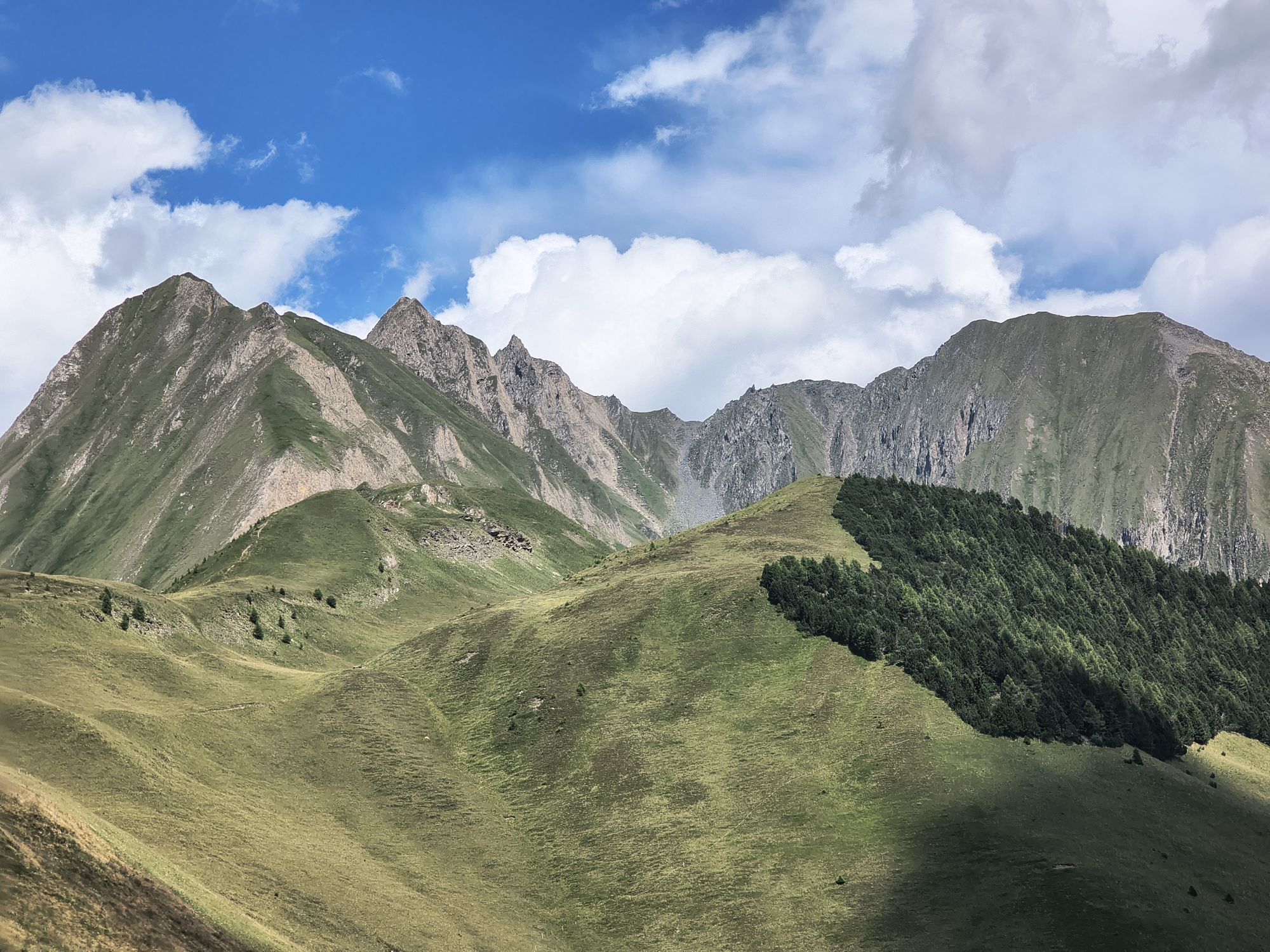
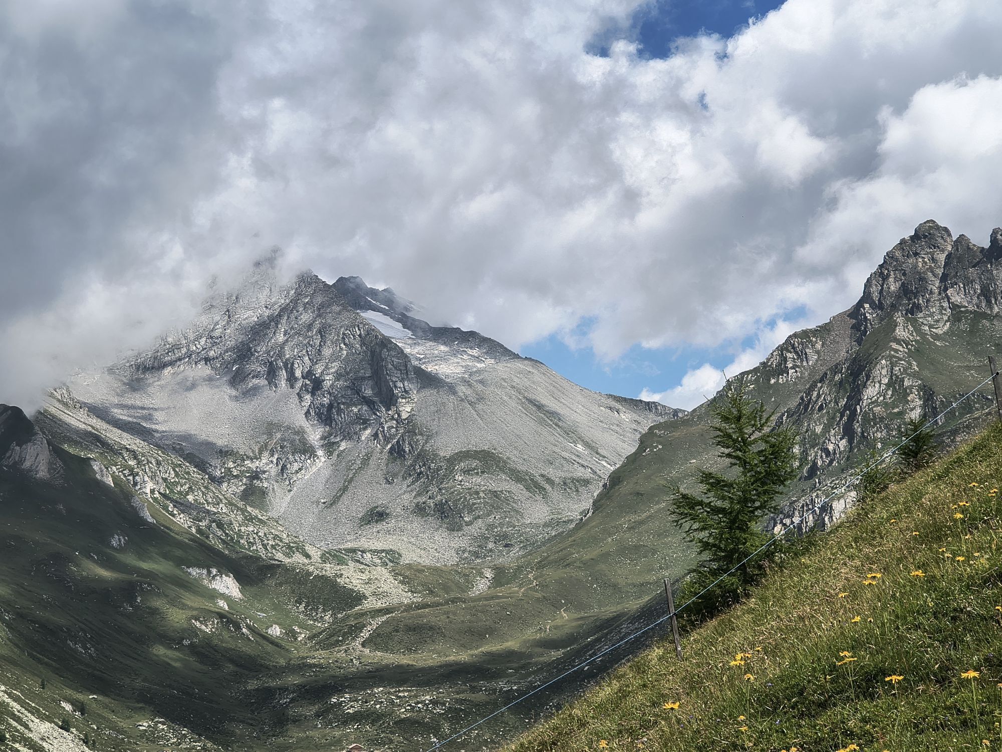
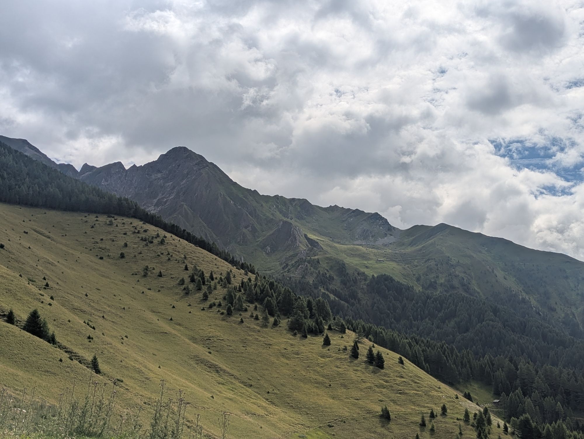
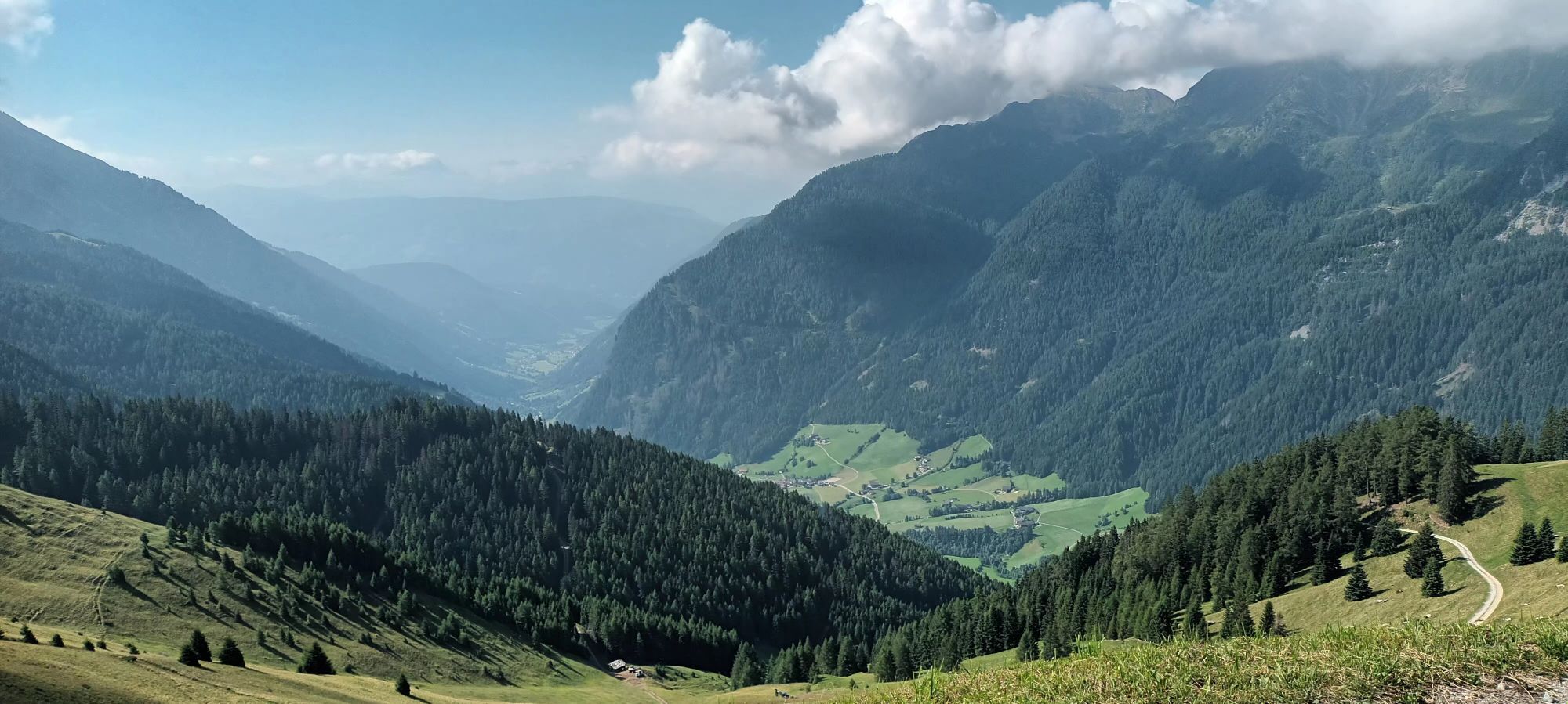
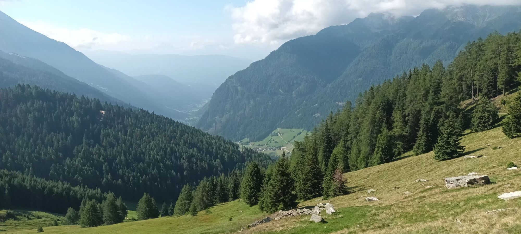
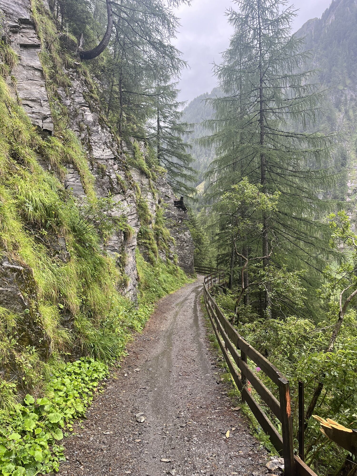
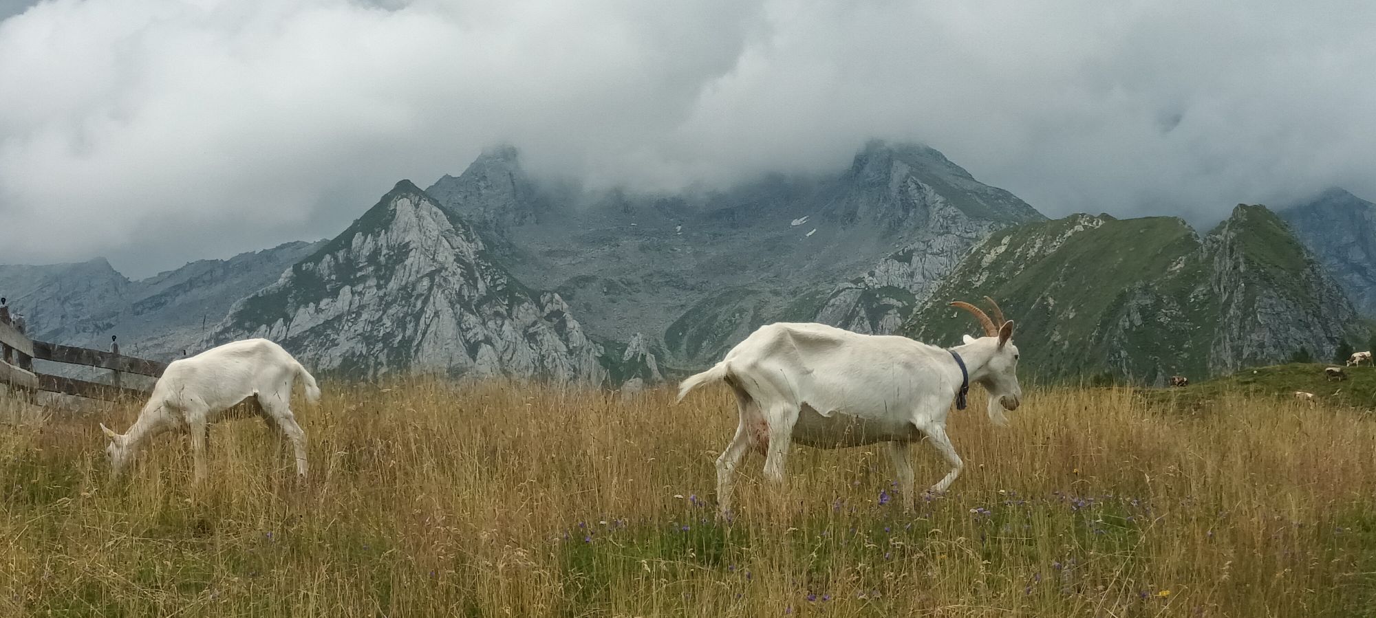
The Fundres/Pfunders Alpine Hut Circuit (Almhüttenrundweg) begins in the hamlet of Dun. Go up a short distance along trail no. 17 and then turn right onto trail no. 13A. After a short while turn left onto...
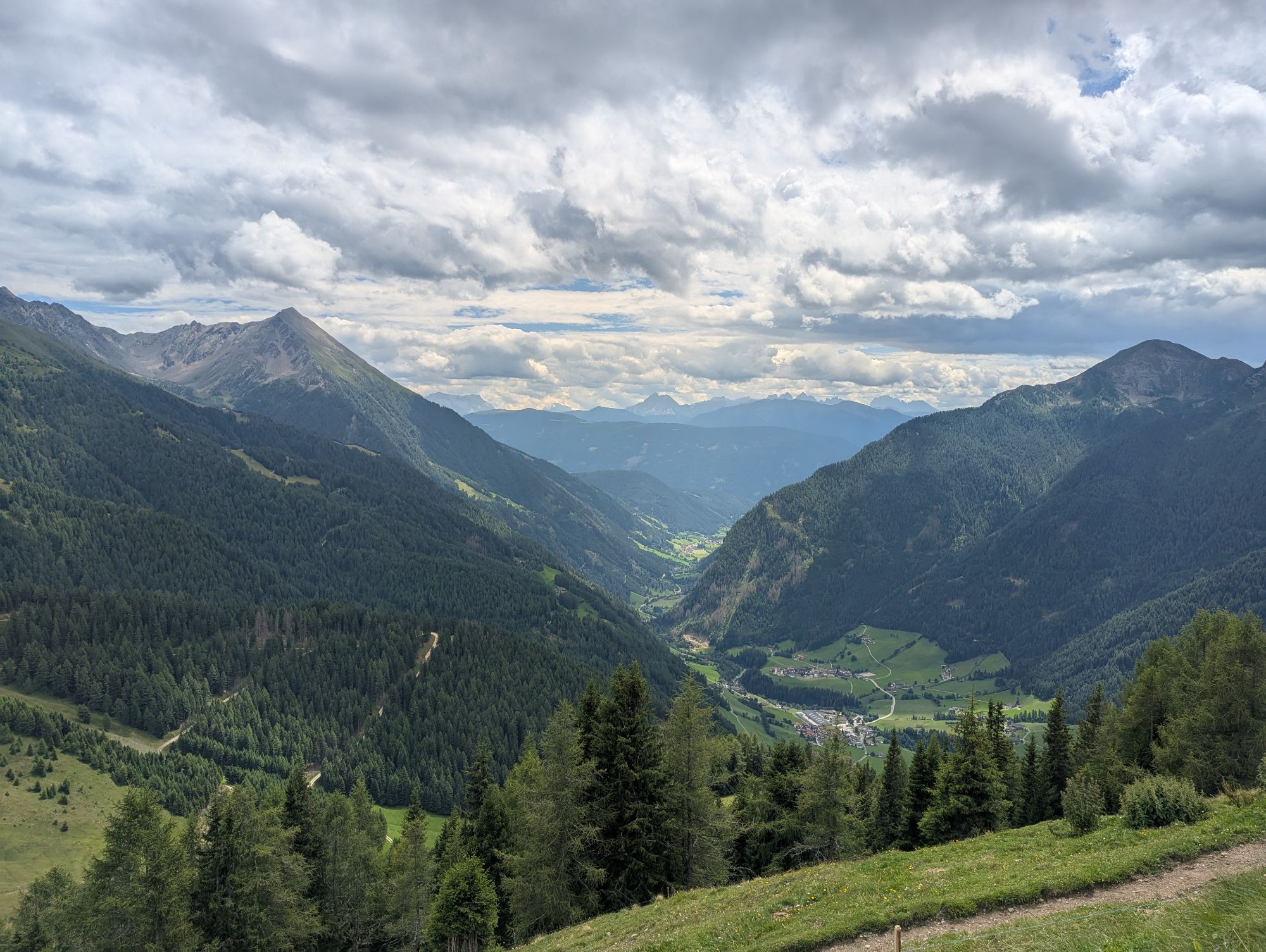
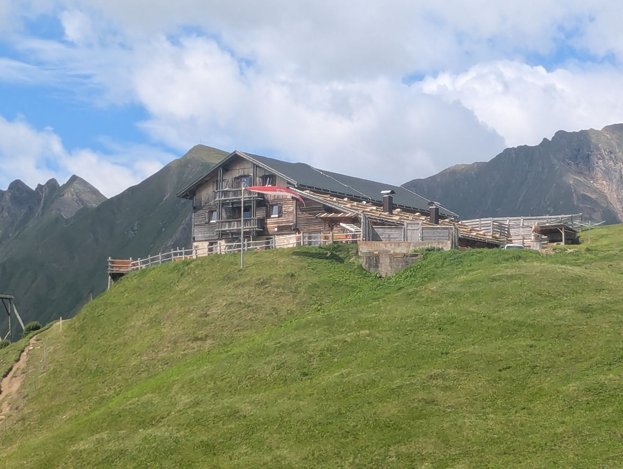
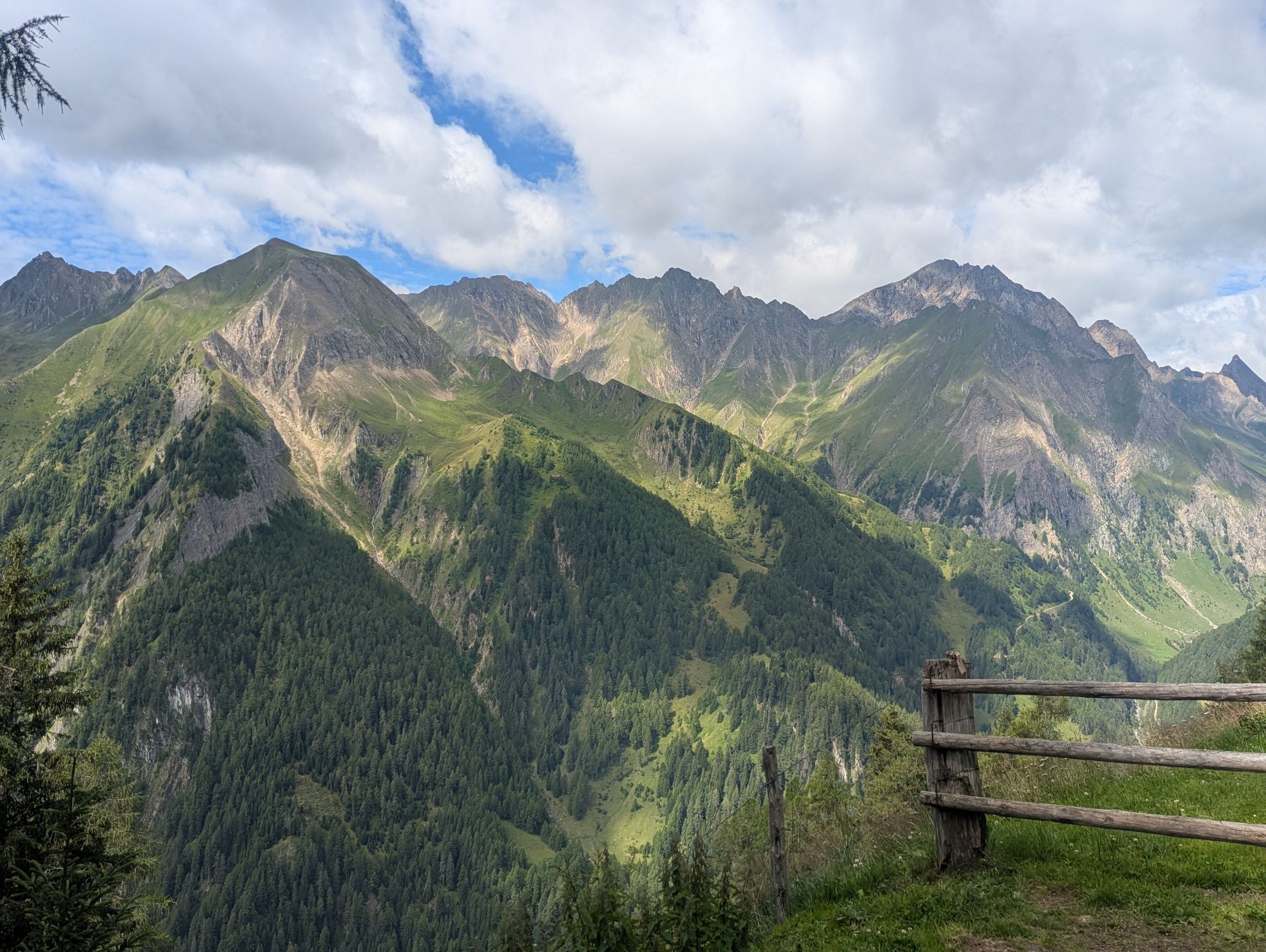
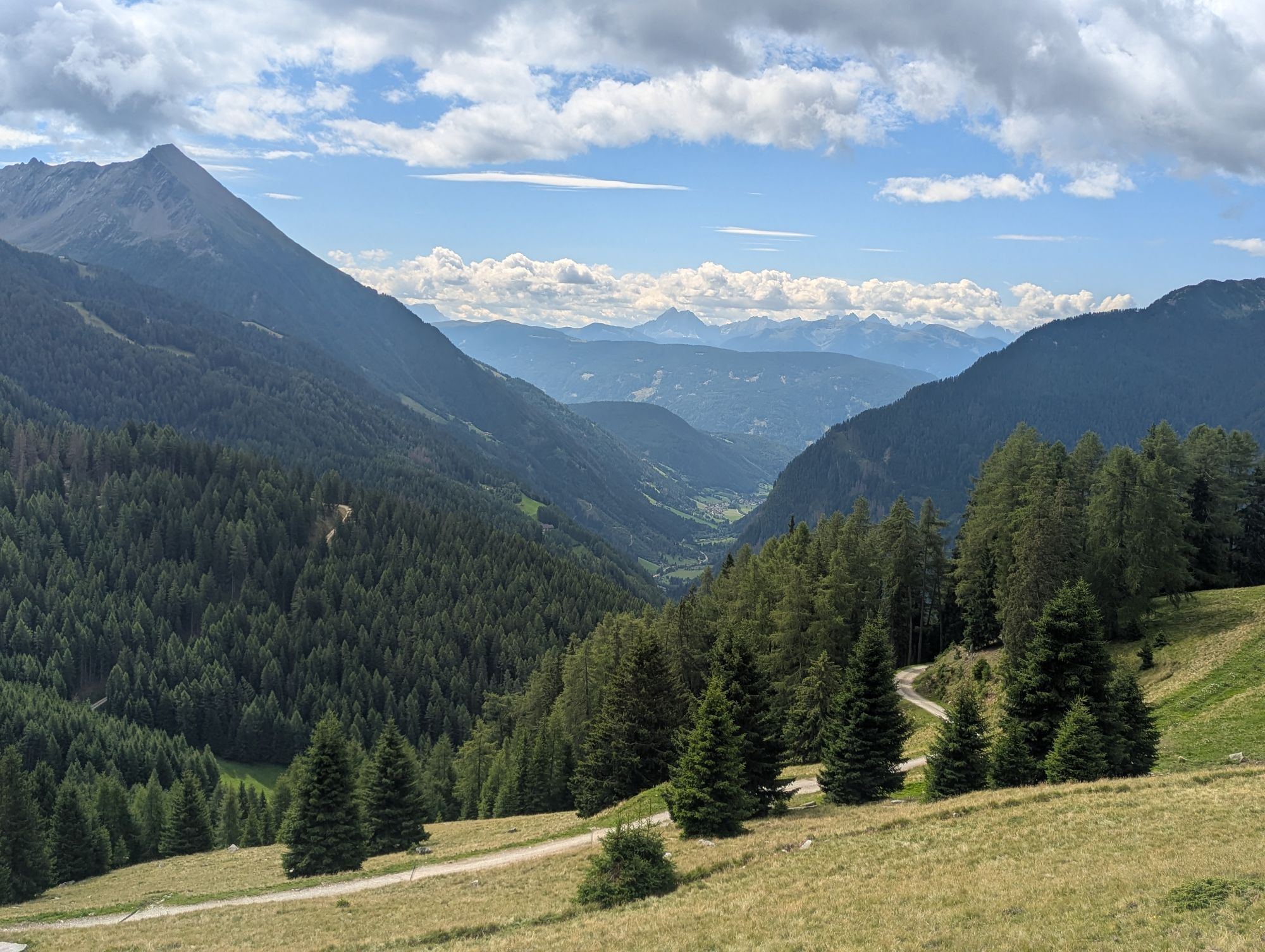
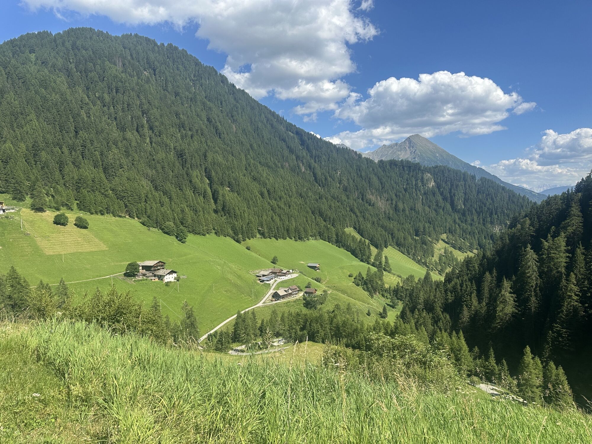
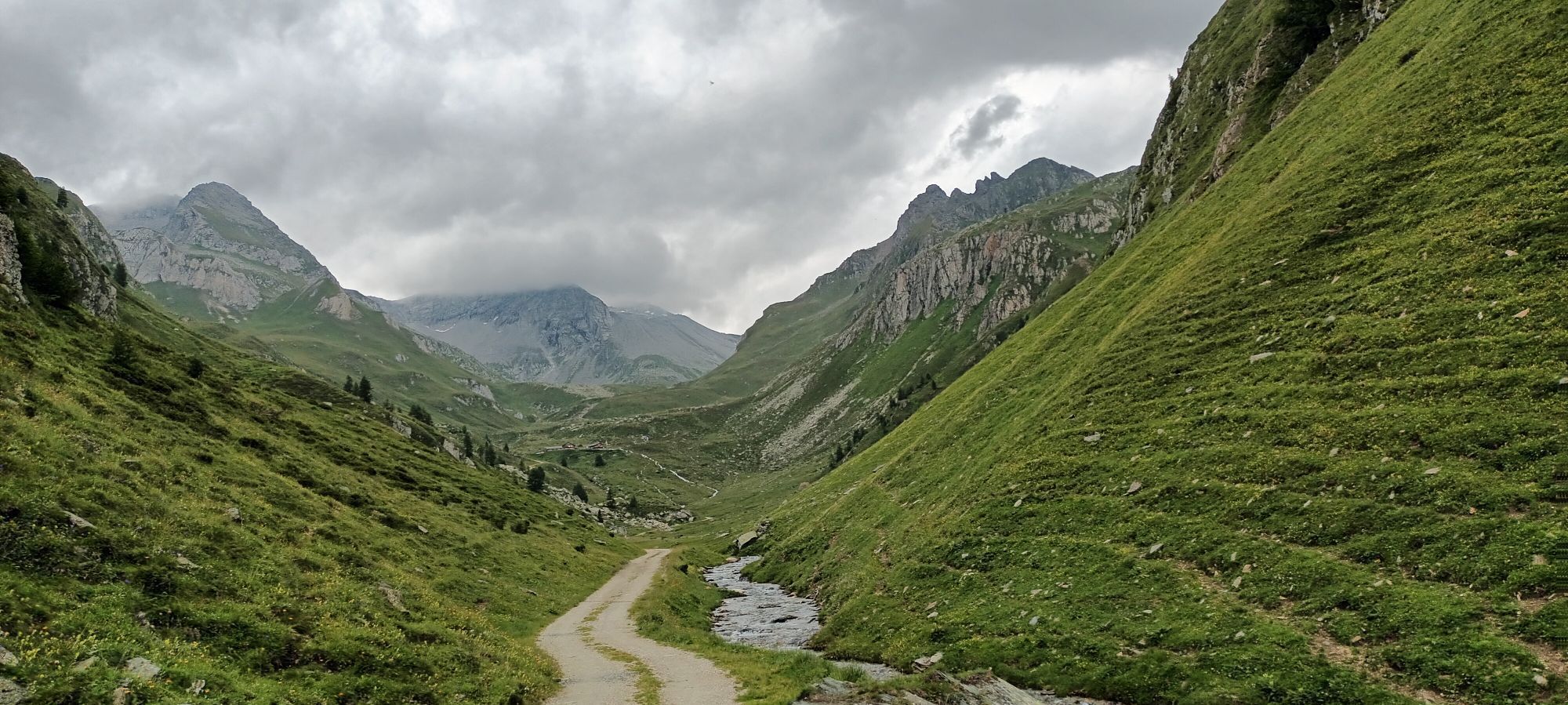
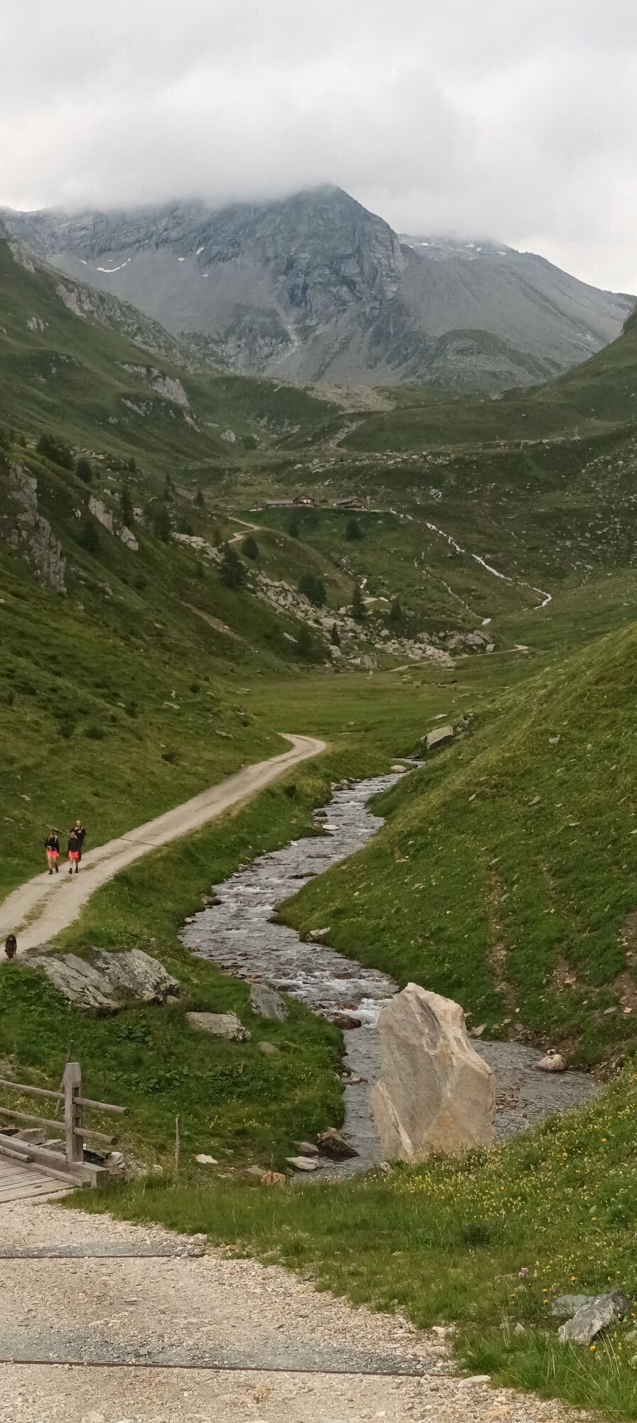
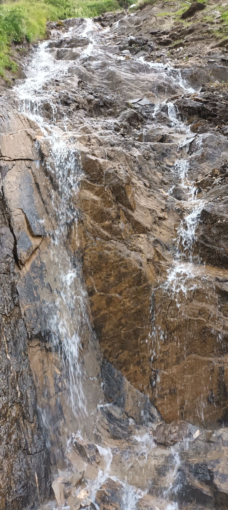
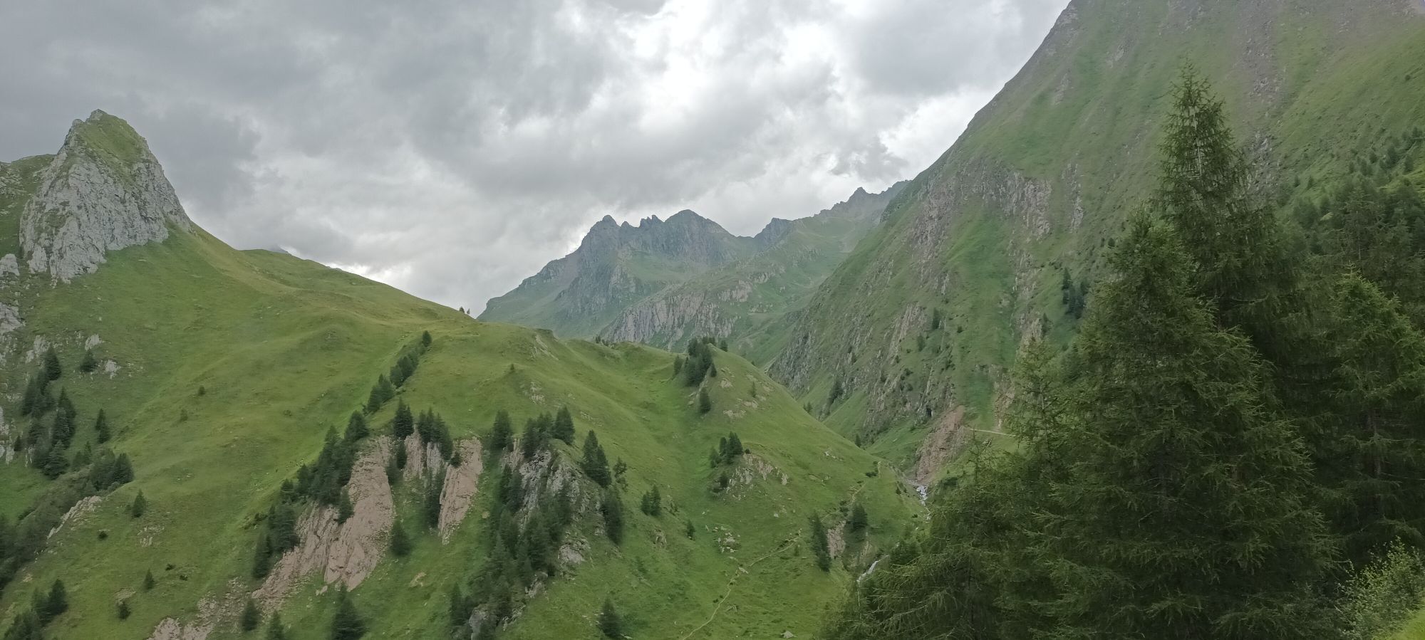
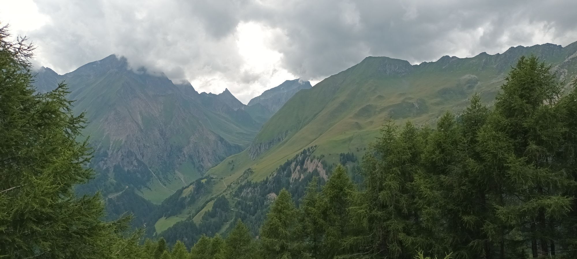
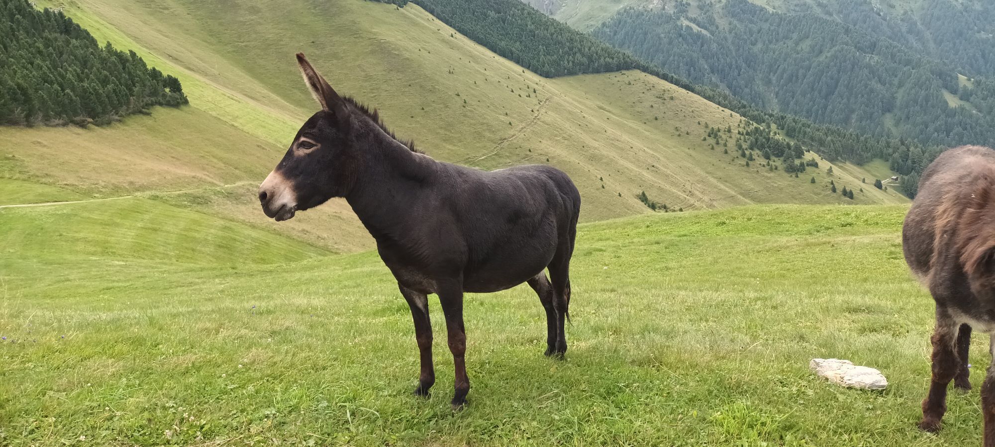
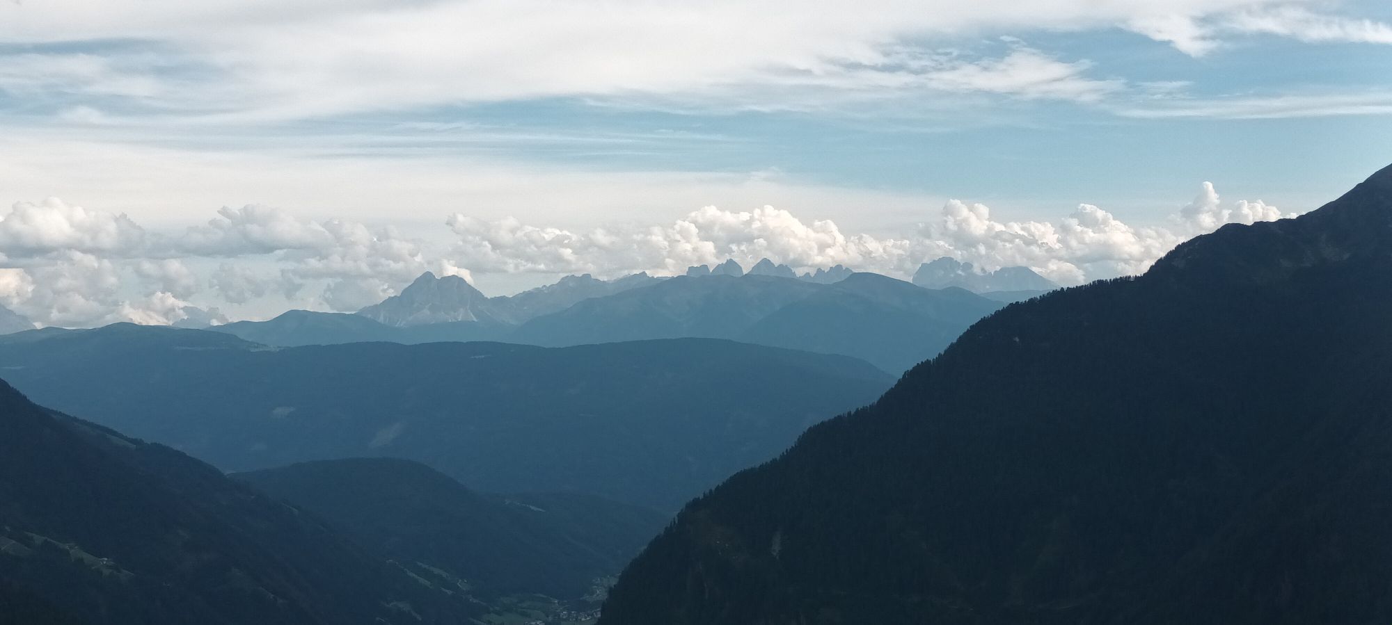
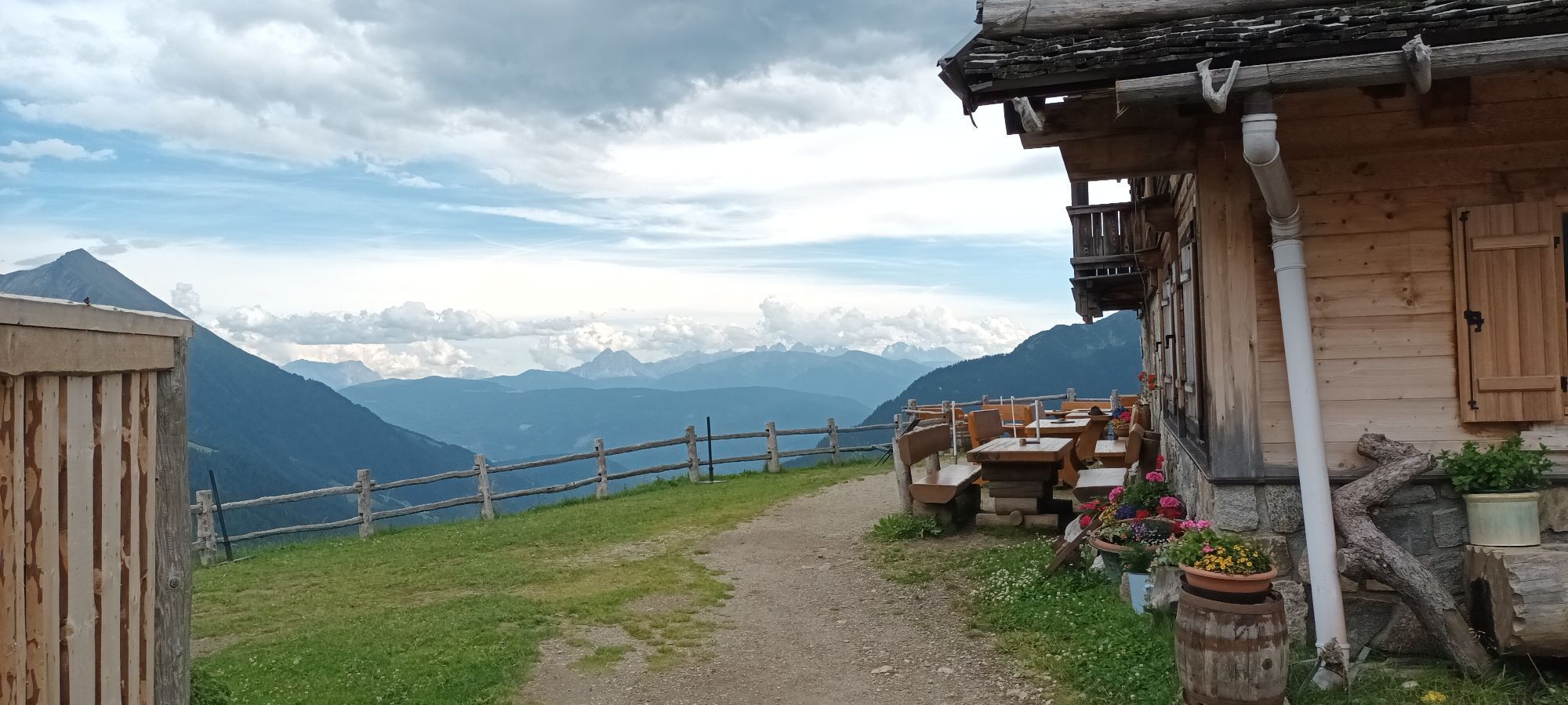
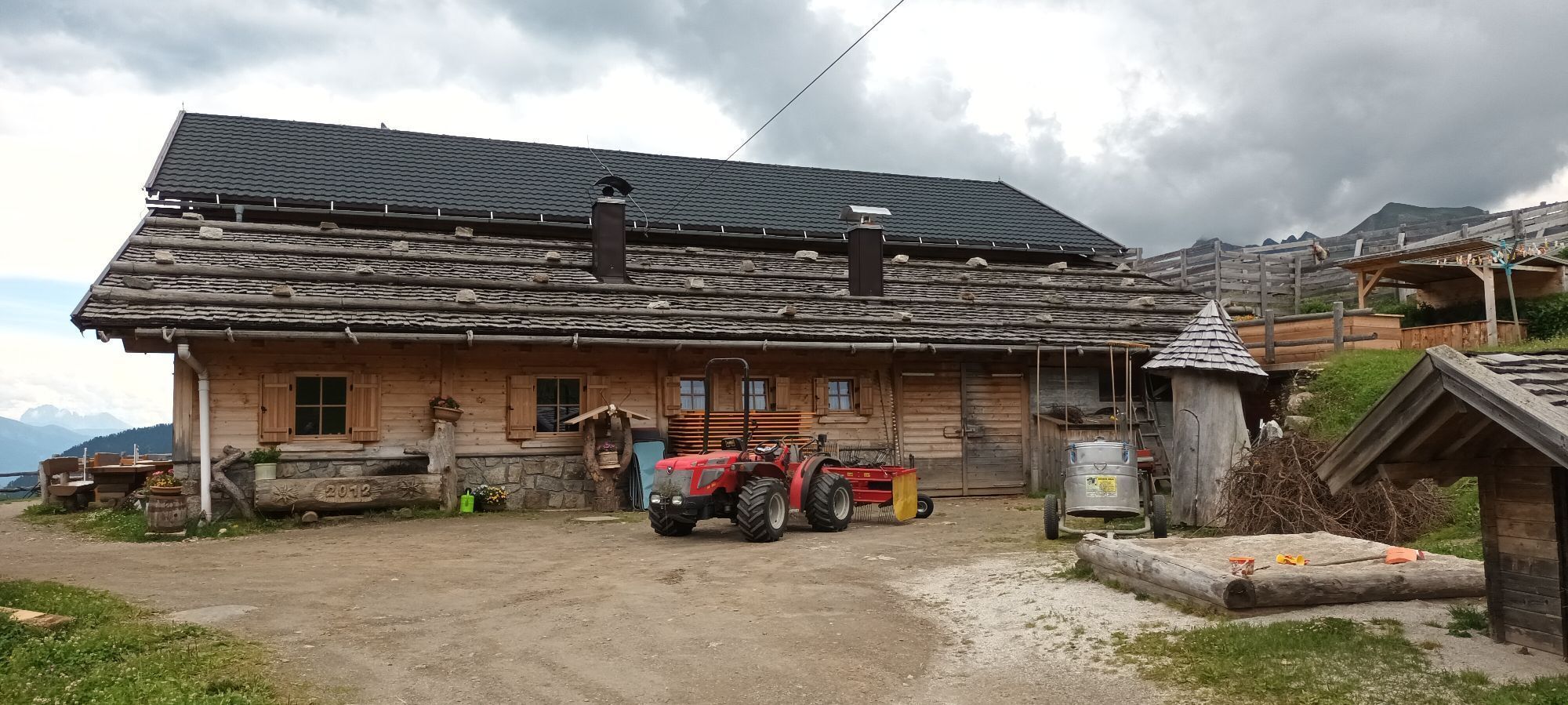
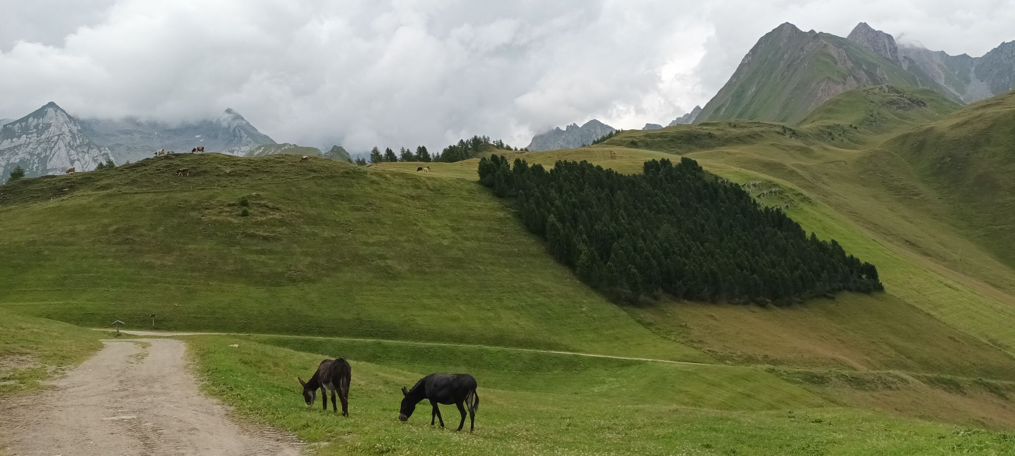
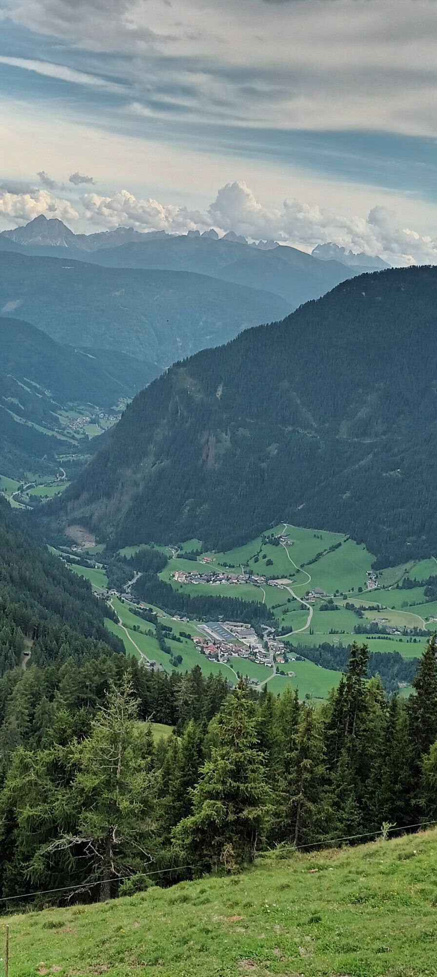
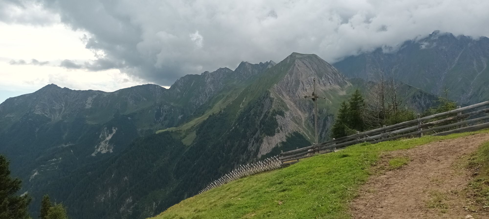
The Fundres/Pfunders Alpine Hut Circuit (Almhüttenrundweg) begins in the hamlet of Dun. Go up a short distance along trail no. 17 and then turn right onto trail no. 13A. After a short while turn left onto trail no. 13 and then no. 18 as far as the Egger-Bodenalm Alpine farm and cheese dairy. After the farm go a little further and then turn off to the right, crossing the hillside to reach trail no. 13. Continue along here to the junction with the Fundres Alpine Ridgeway. Turn right again for a short distance towards Kuhscharte and follow the newly-made forest road. This brings you to the Gampiel Alm Alpine farm with its panoramic views over the Pfunderer Tal valley and the Rodenecker Alm Alpine pasture, as far as the Peitler Kofel peak. The farm is particularly family-friendly, with a petting zoo for children. The descent takes you first along the forest road down to the Egger Höfe farms. From here you return to Dun, first on trail no. 13 and then to the left on the “Alter Weg" back to the car park.




Rutas populares en los alrededores
-
4,2
Schlegeis-Stausee - Olperer Hütte
luzSenderismo 6,30 km -
4,7
Neumarkter Runde
medioSenderismo 10,4 km -
4,8
Südtirol
pesadoSenderismo 17,8 km -
4,9
Hochfeiler
medioSenderismo 17,1 km -
4,5
Terenten, Tiefrastensee
luzSenderismo 12,4 km -
4,8
6.Etappe Alpenüberquerung Gmund/Sterzing
pesadoSenderismo de montaña 18,4 km -
4,8
Von Parkplatz nach Berliner Hütte
Senderismo 8,90 km -
4,7
Hochfeiler
luzExcursión de alta montaña 17,6 km -
4,7
Vals-Fanes Alm- Labesebenalm Wilder See MTB u Hike
medioMountainbike 21,7 km -
4,5
Seefeld See Altfasstal
medioSenderismo 14,3 km
Senderismo y rastreo


No se pierda las ofertas y la inspiración para sus próximas vacaciones
Su dirección de correo electrónico se ha añadido a la lista de correo.





