






Val Casies Valley Almweg 2000 path: Gsieser Törl (2205m)
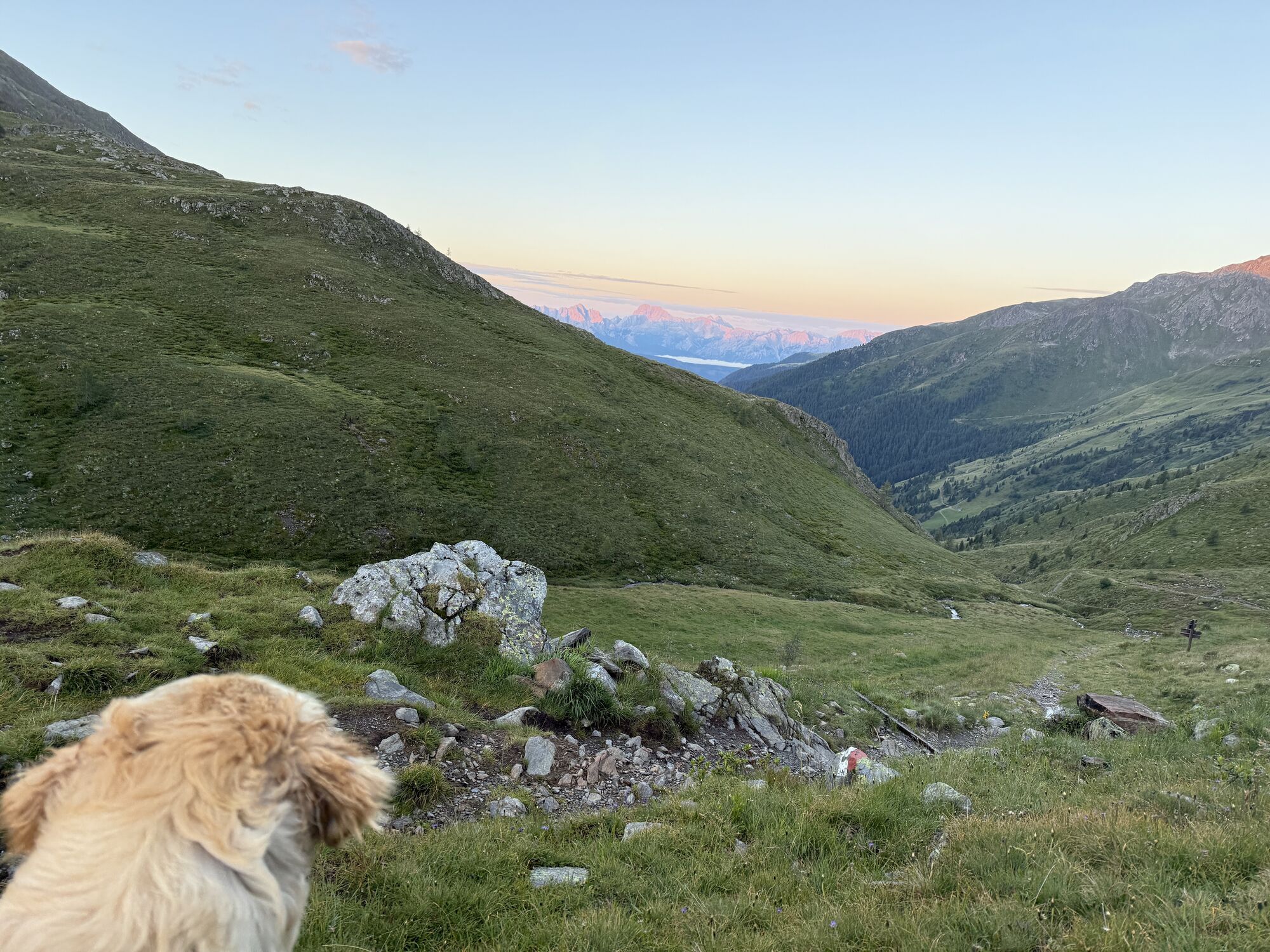
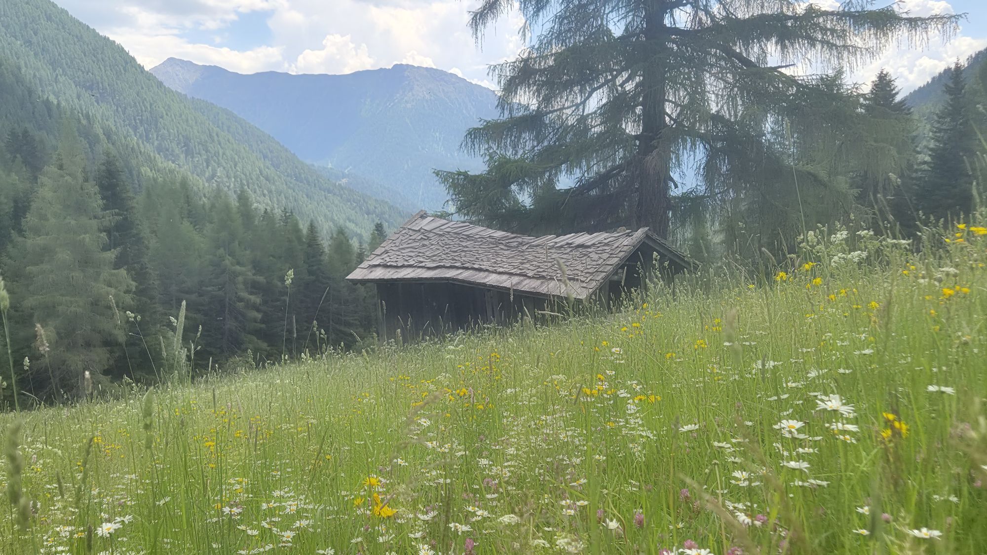
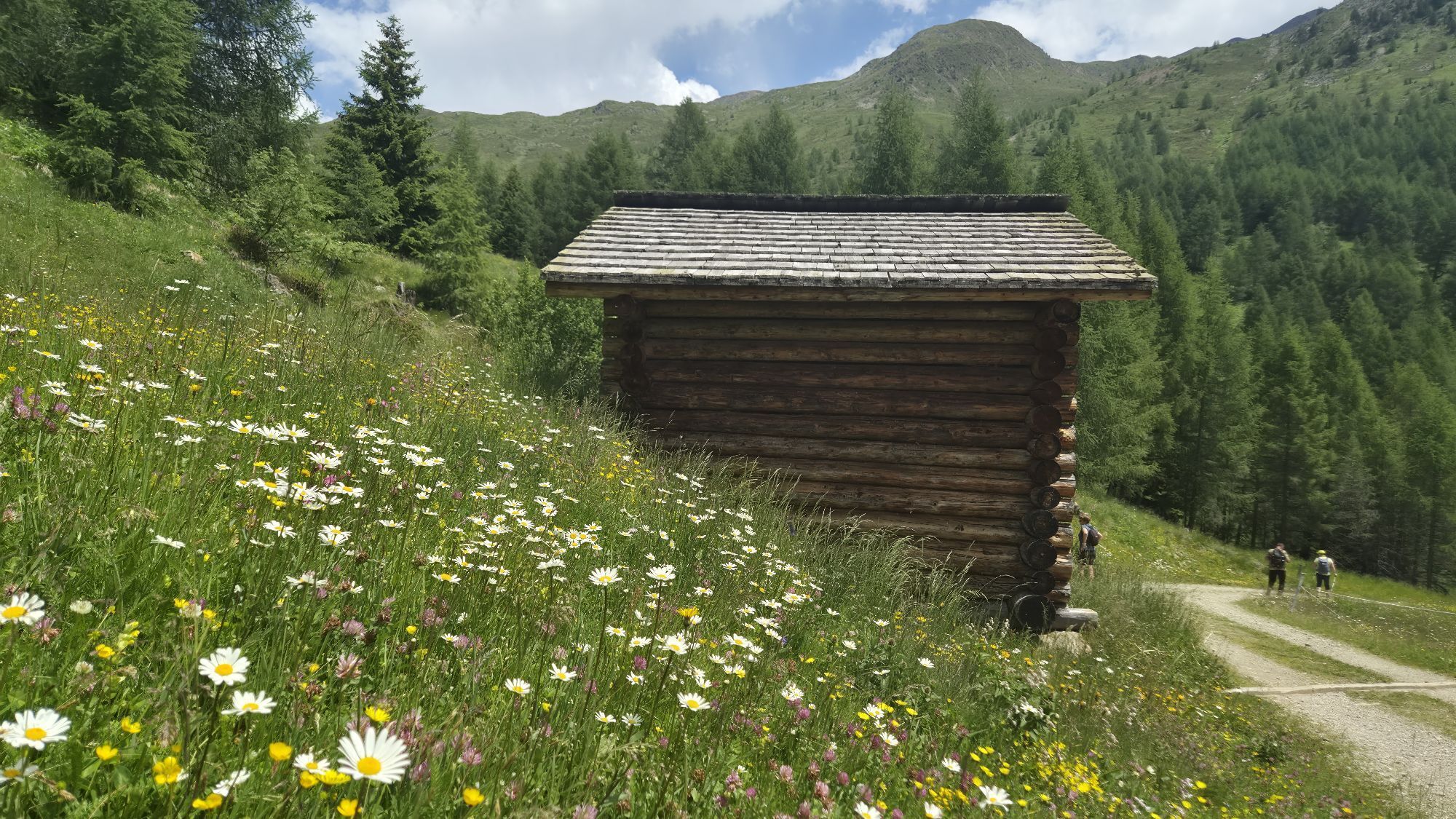
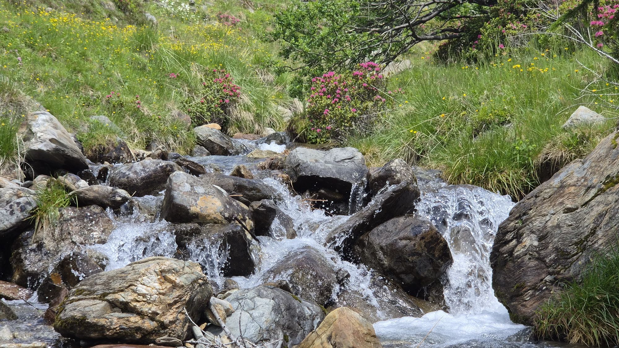
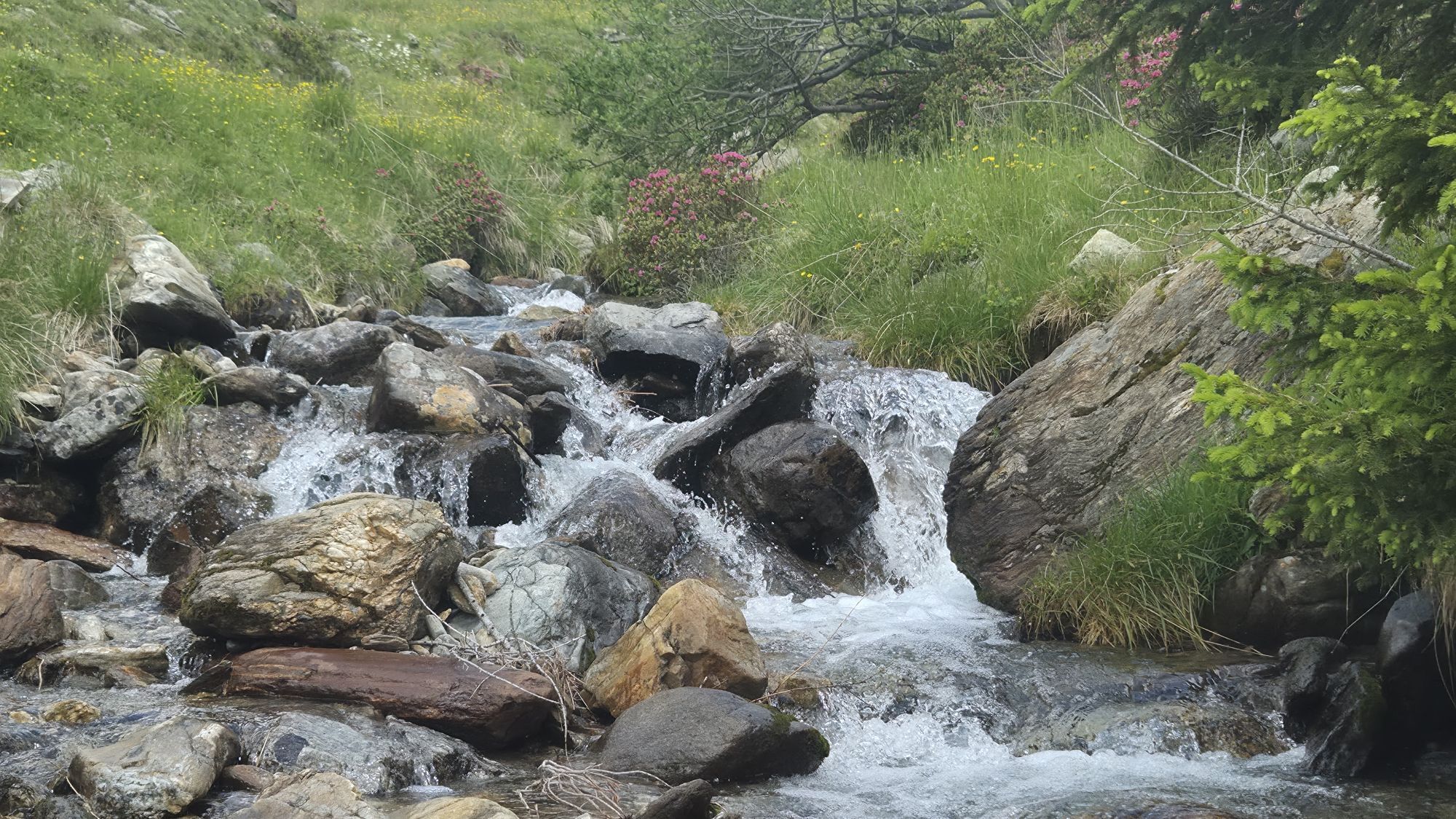
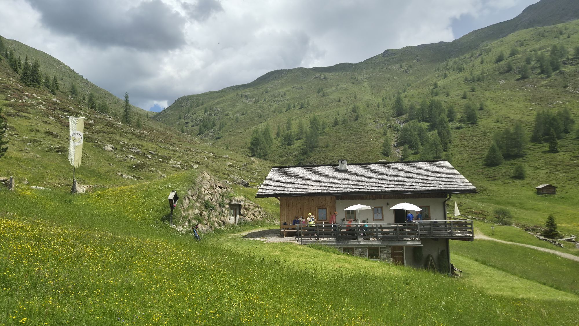
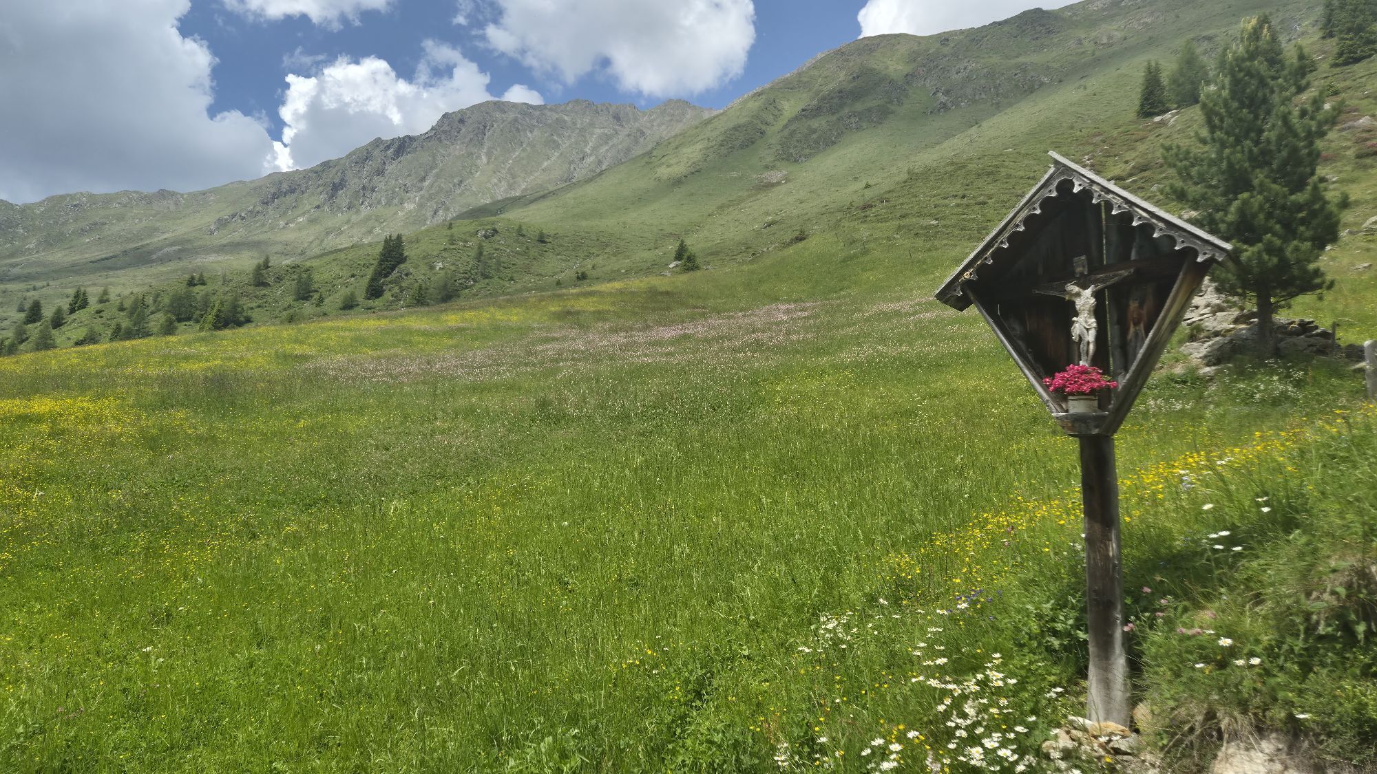
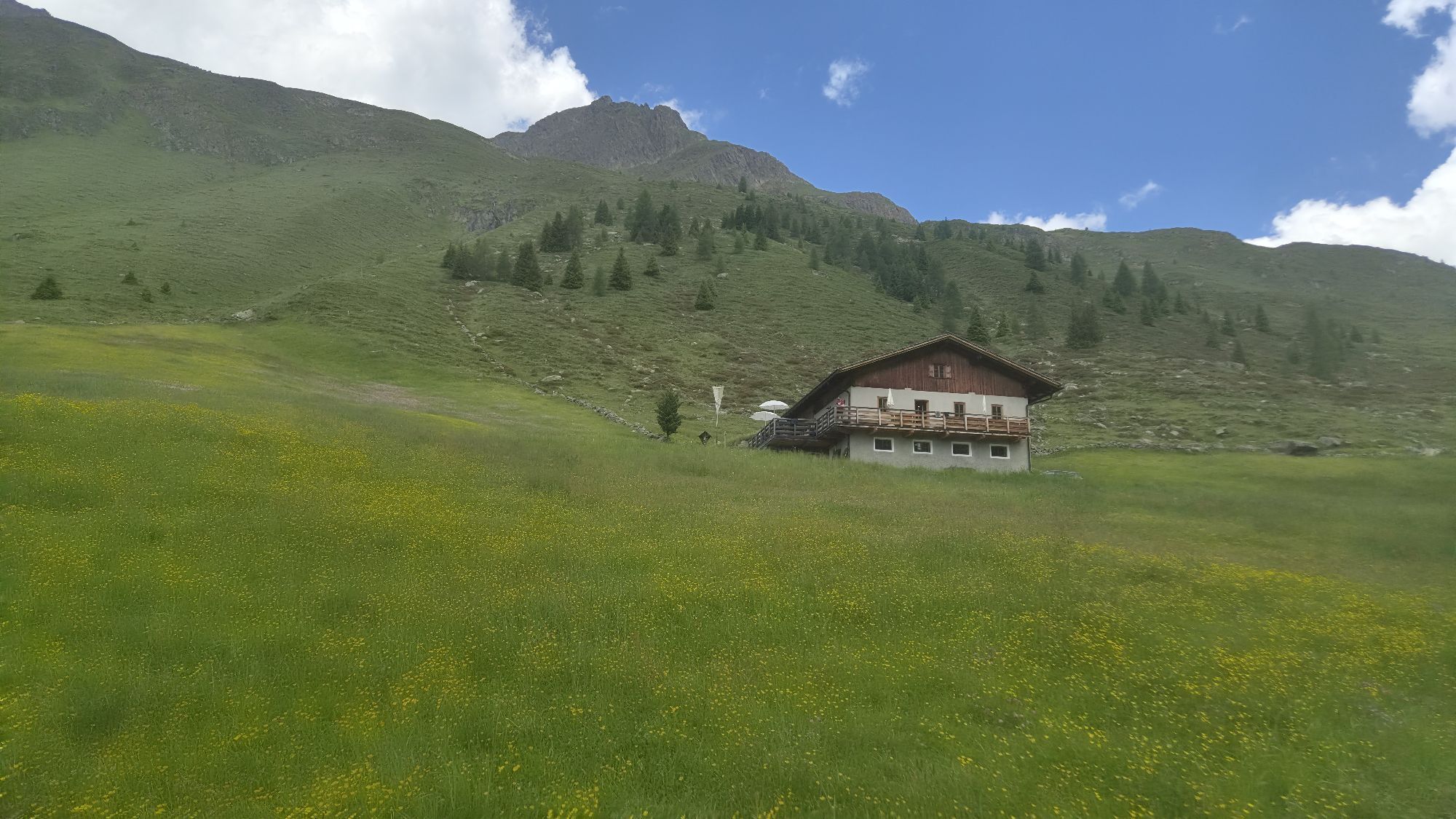
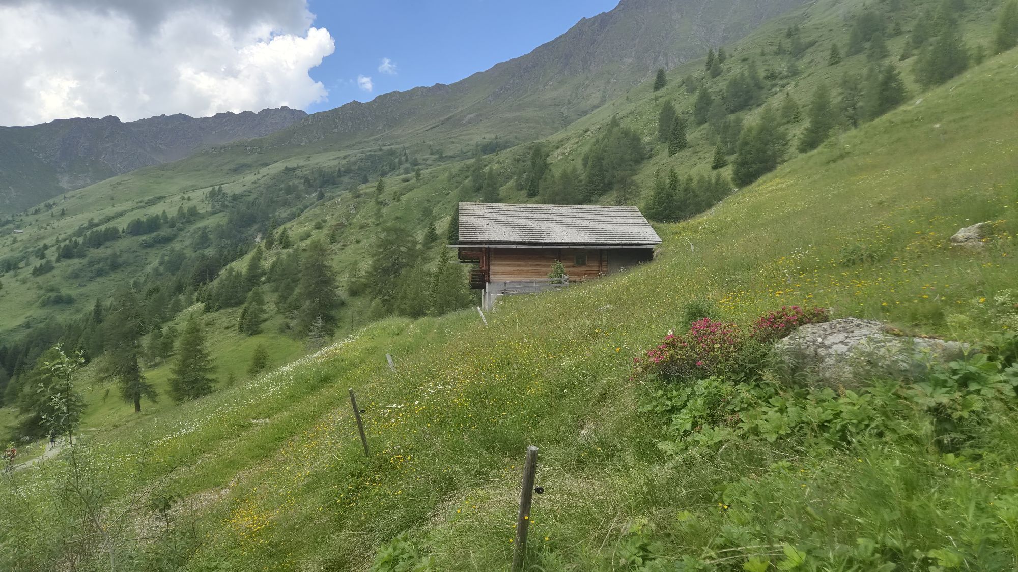
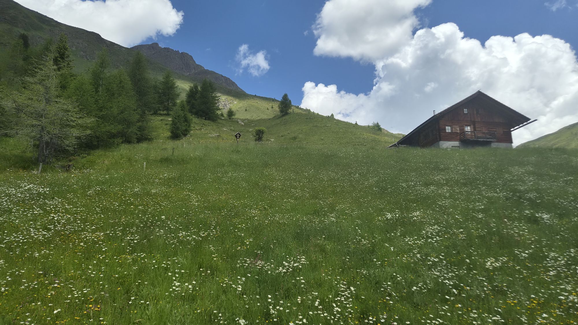
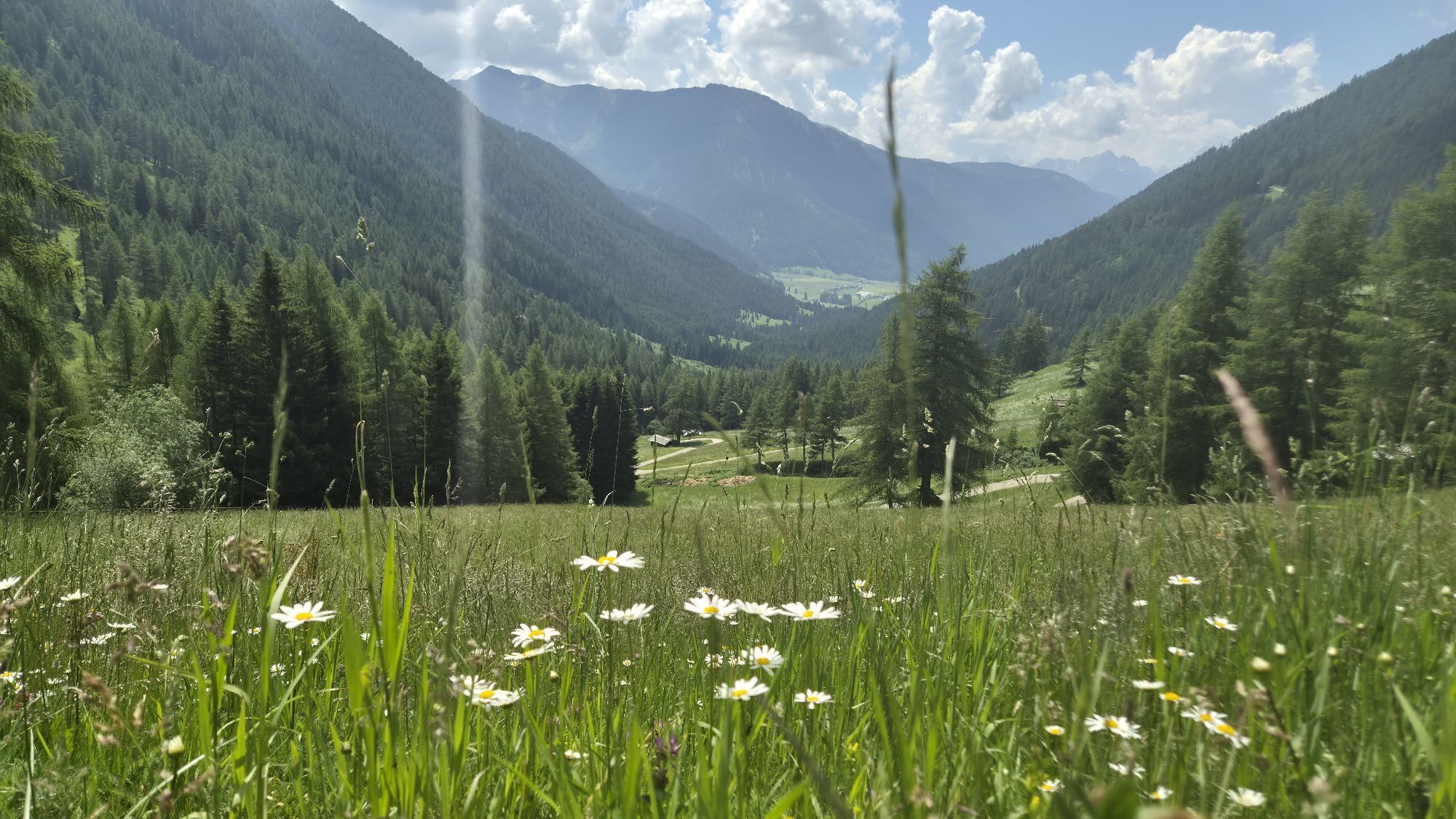
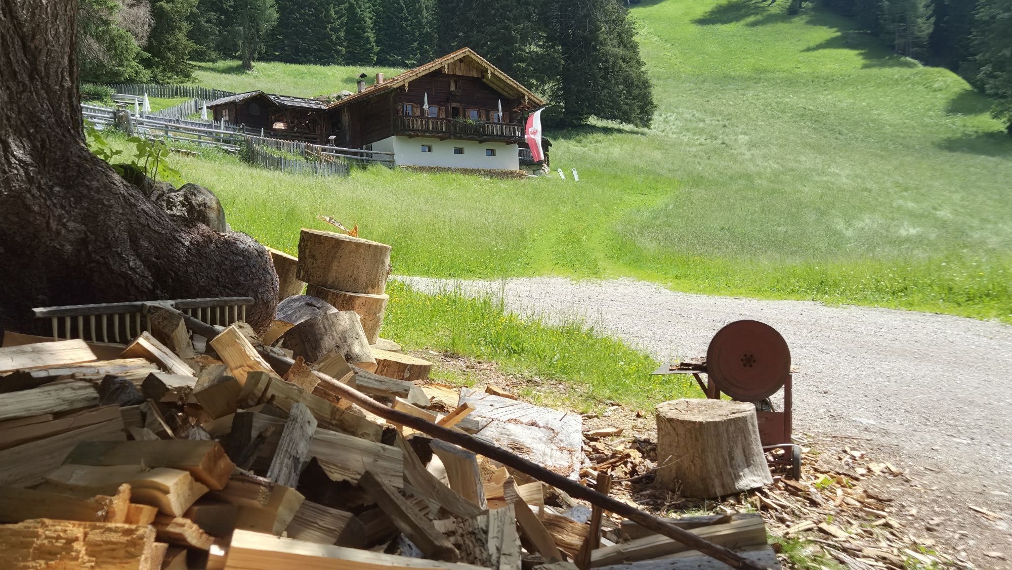
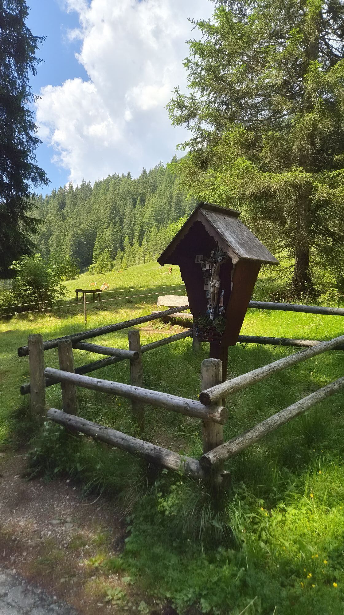
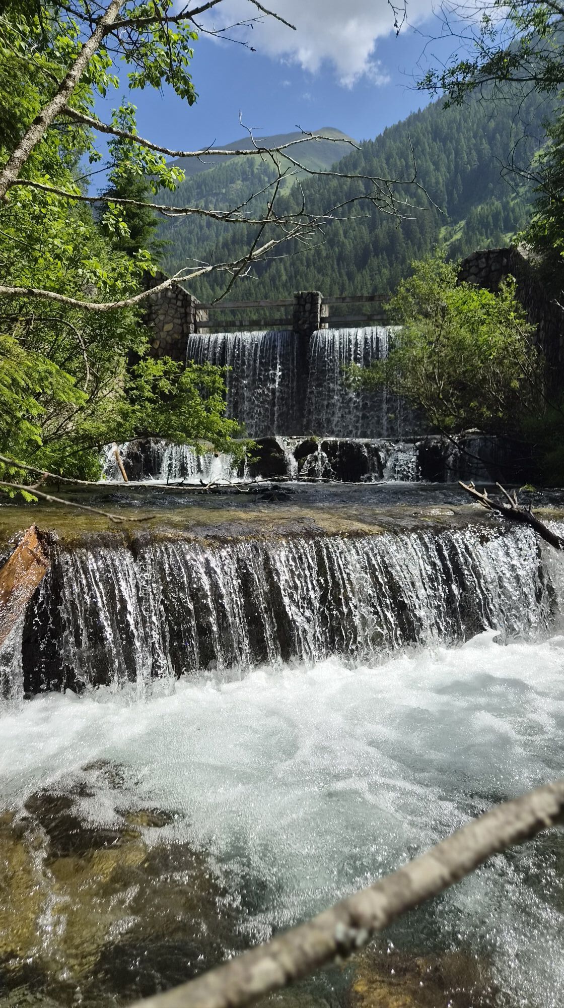
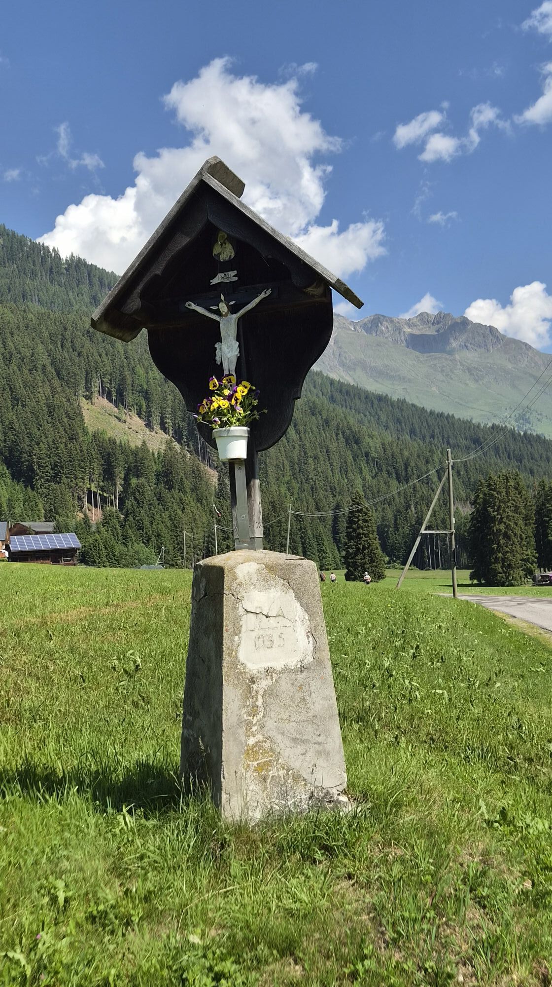
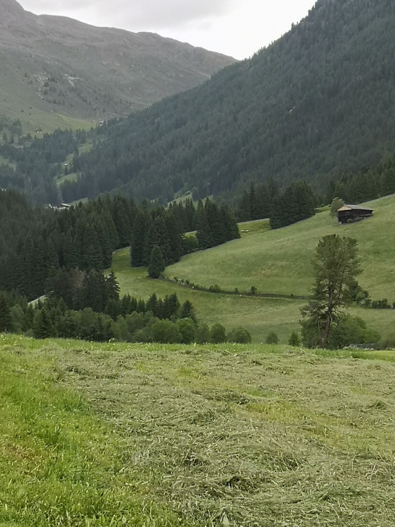
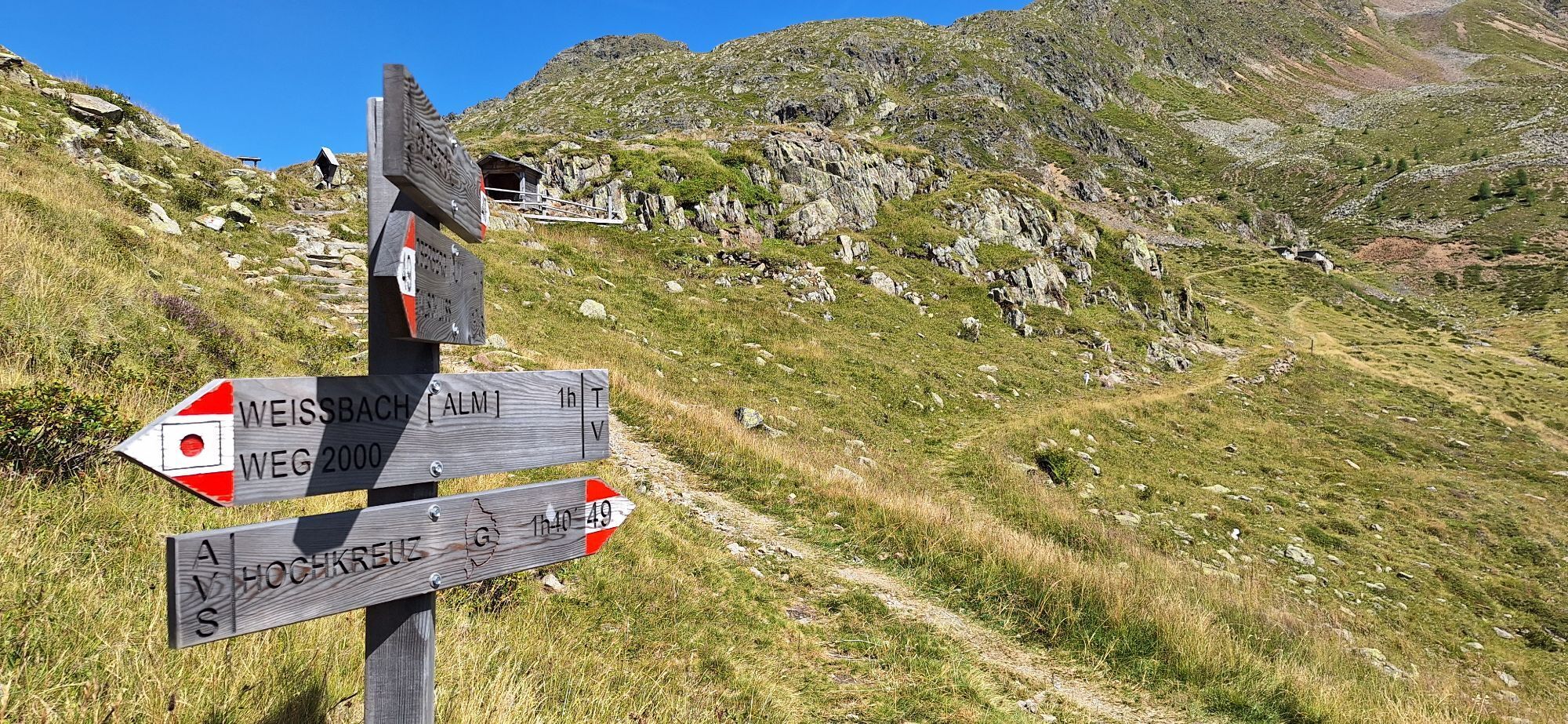
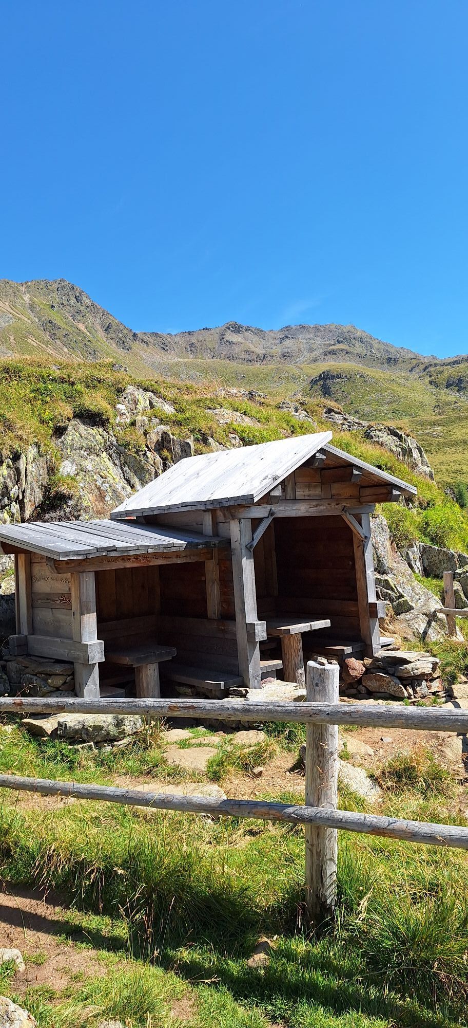
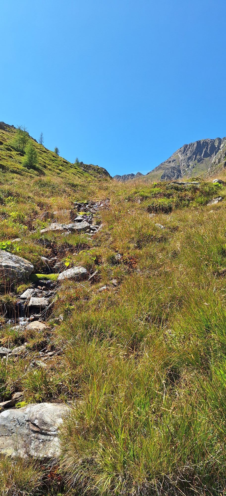
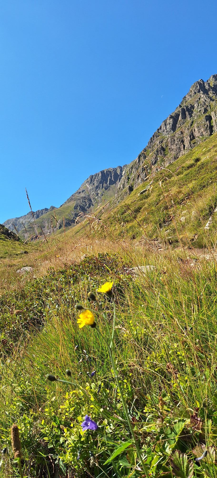
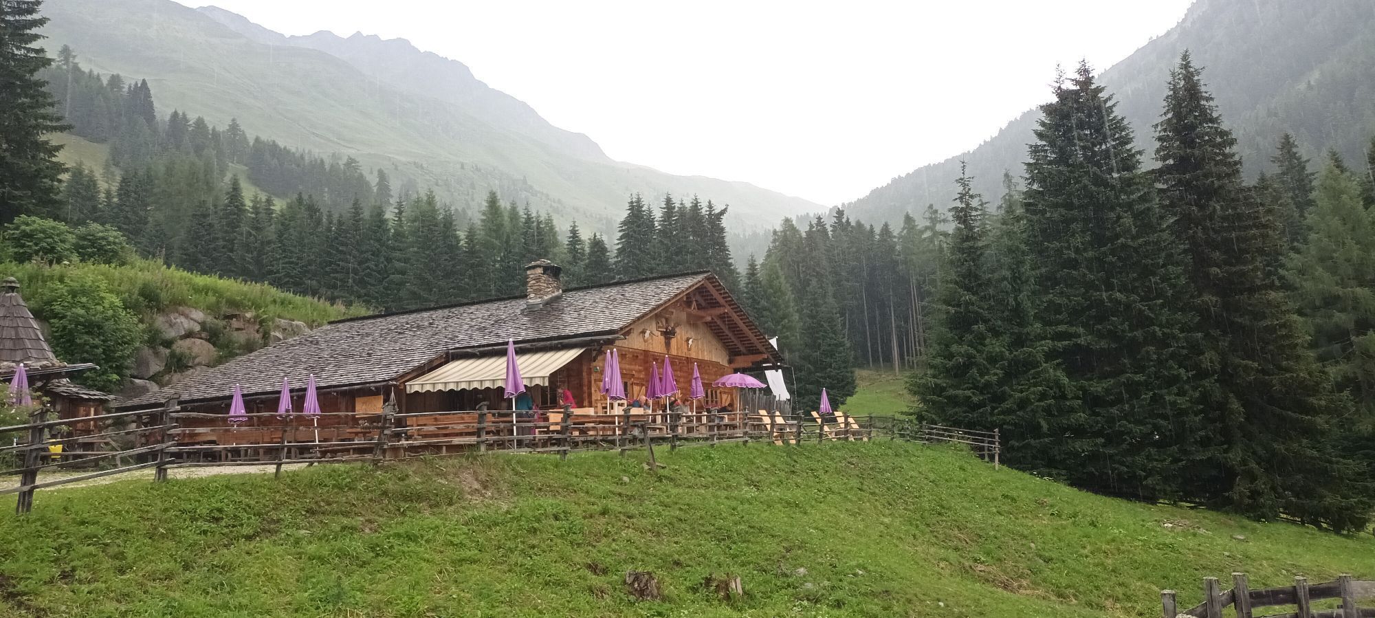
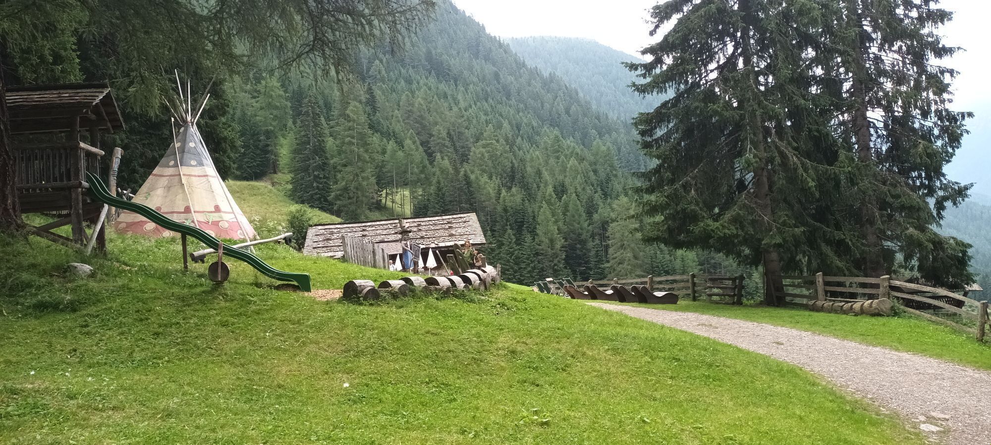
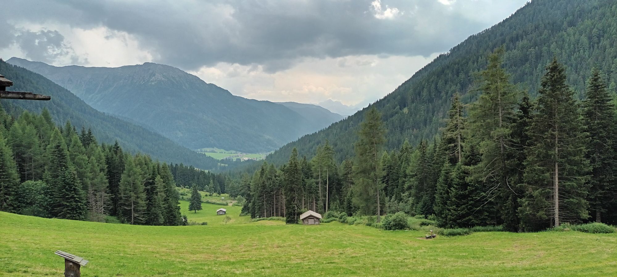
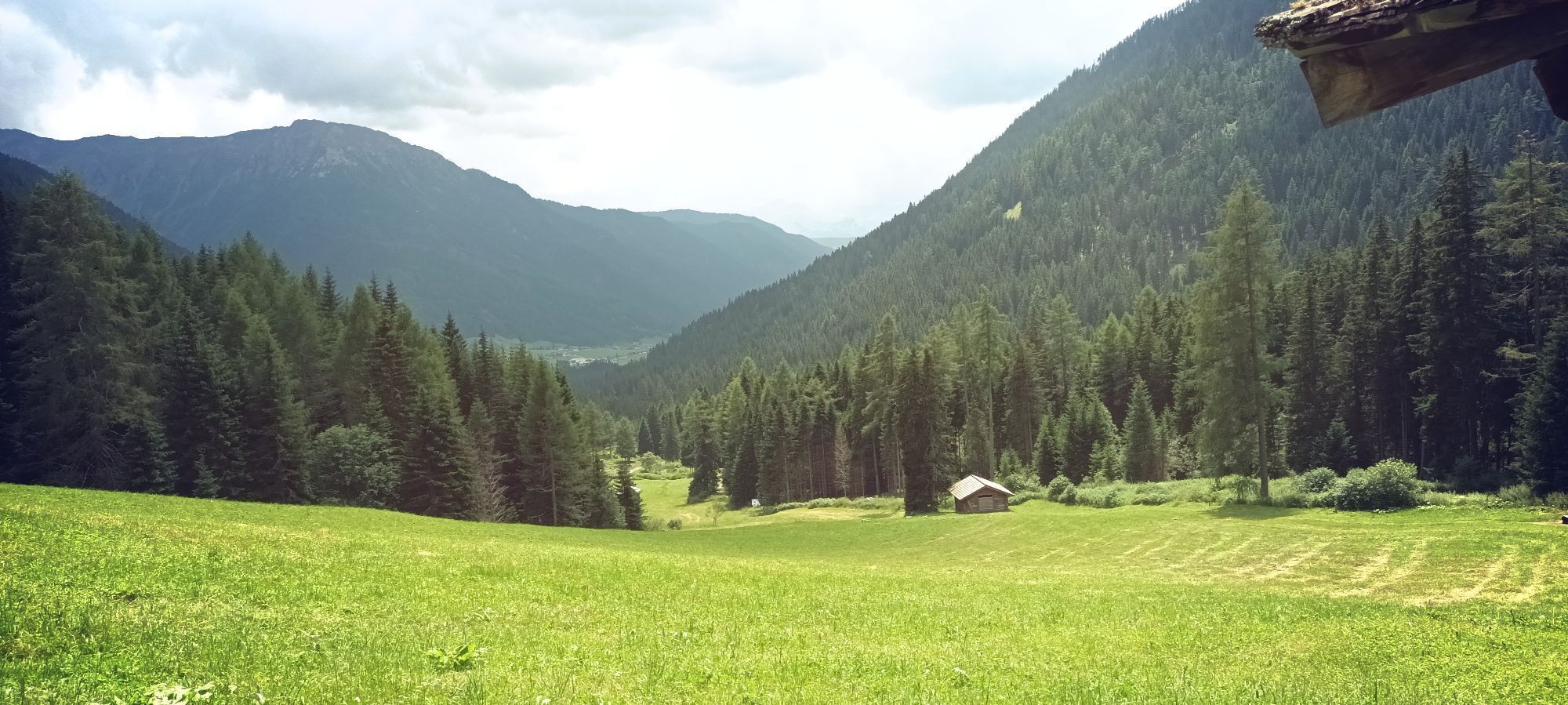
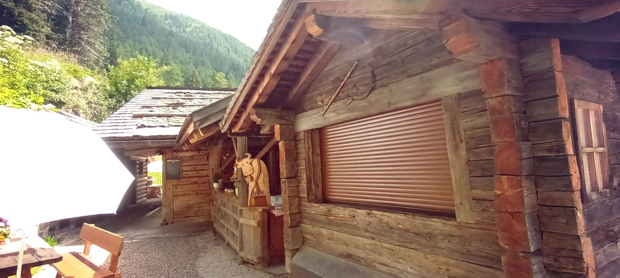
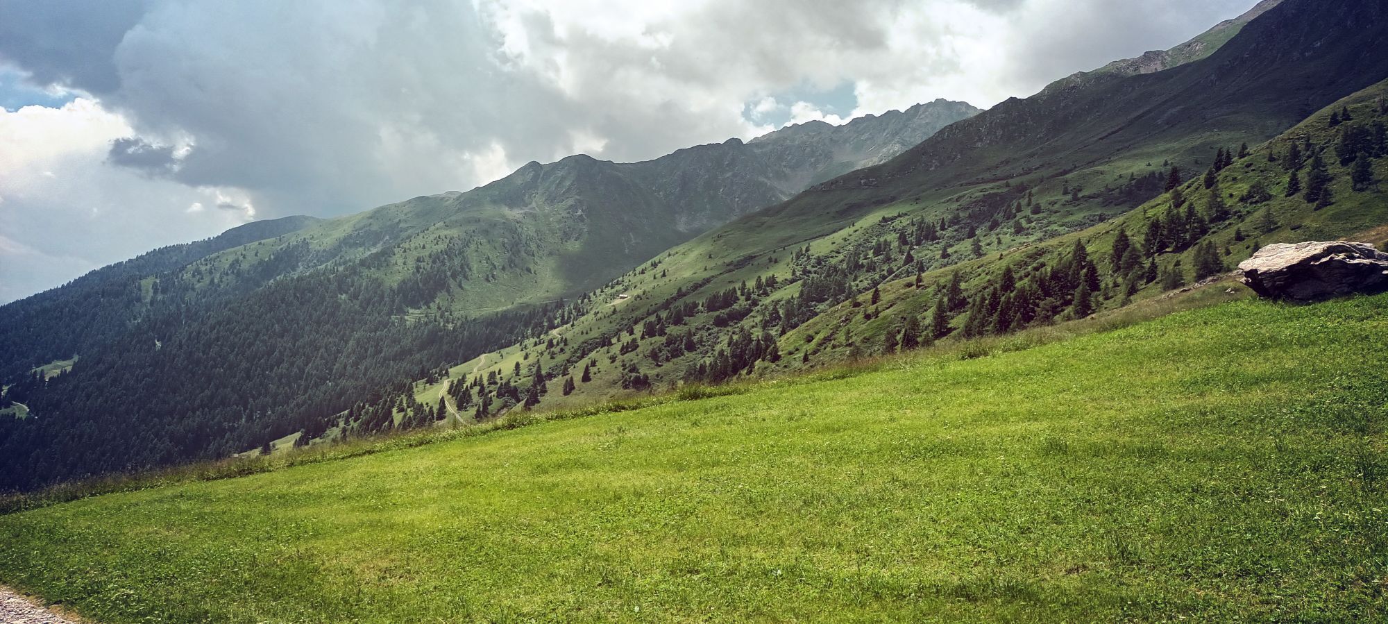
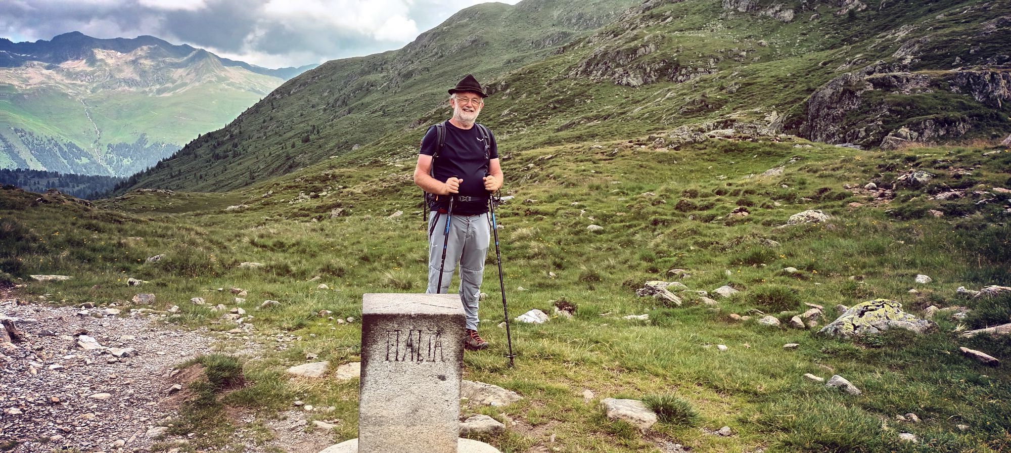
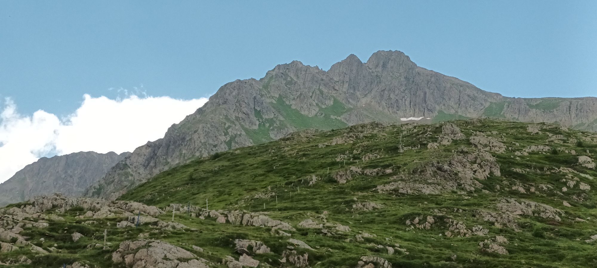
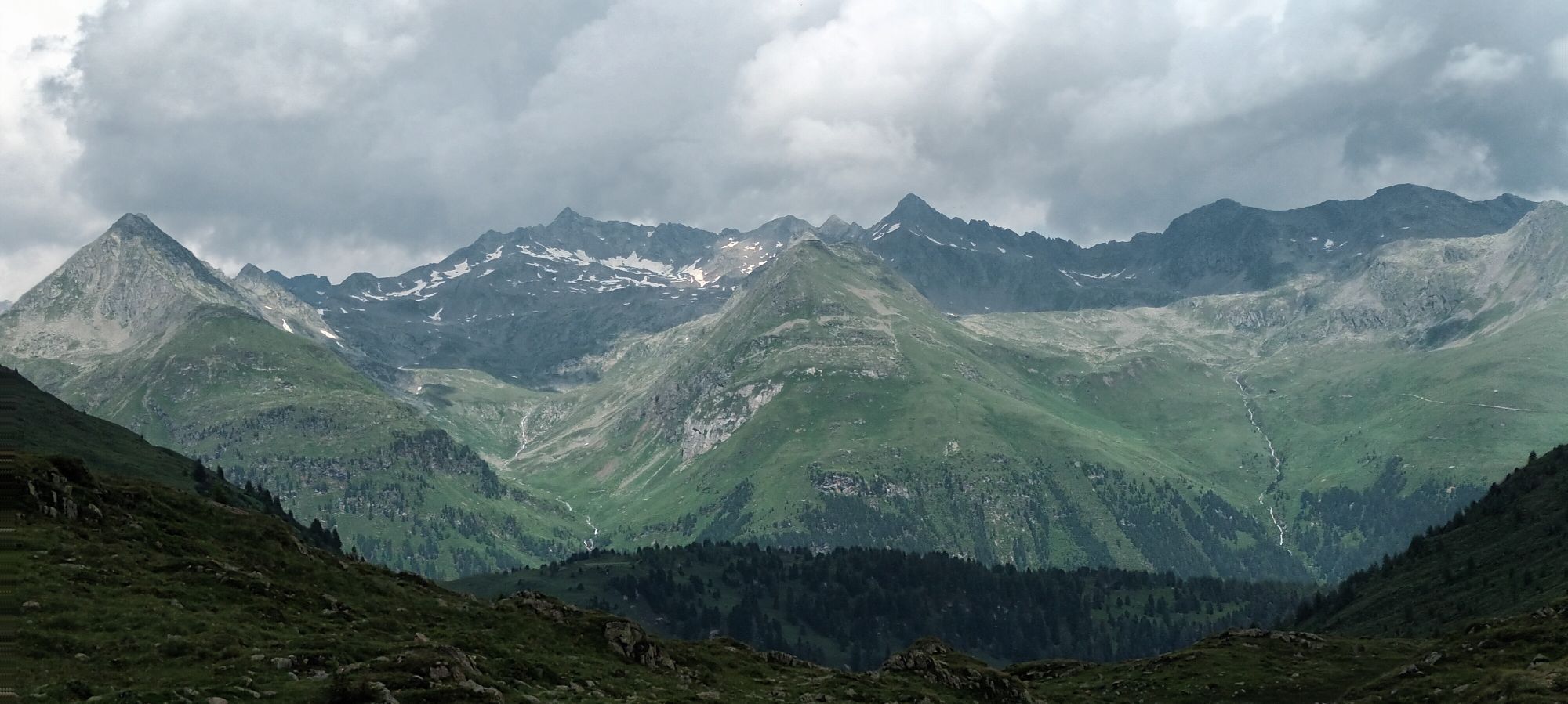
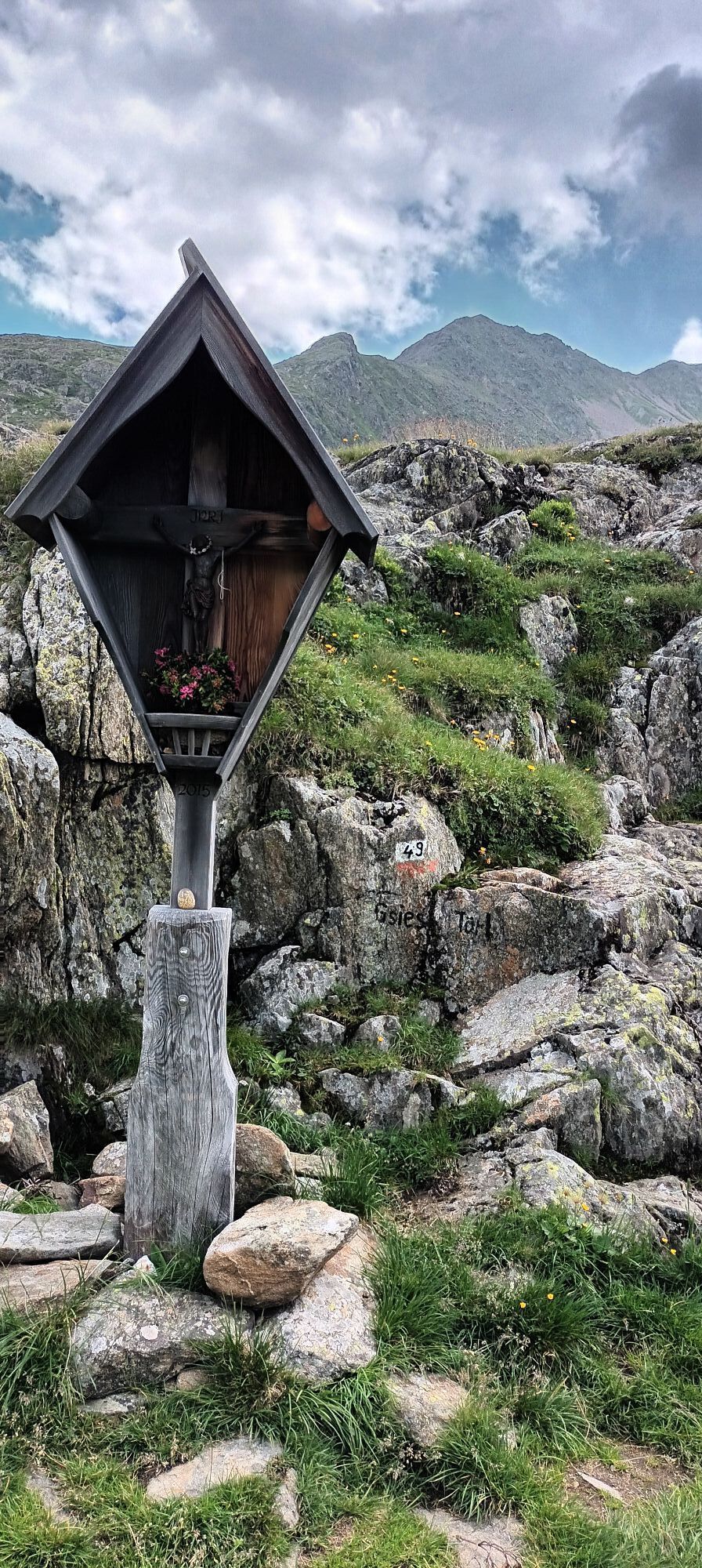
From the head of the valley (1460m) in the Val Casies Valley/S. Maddalena continue straight ahead into the valley to the hamlet Rotmoos, follow the trail no. 49 to the mountain huts Messner Hütte (166...
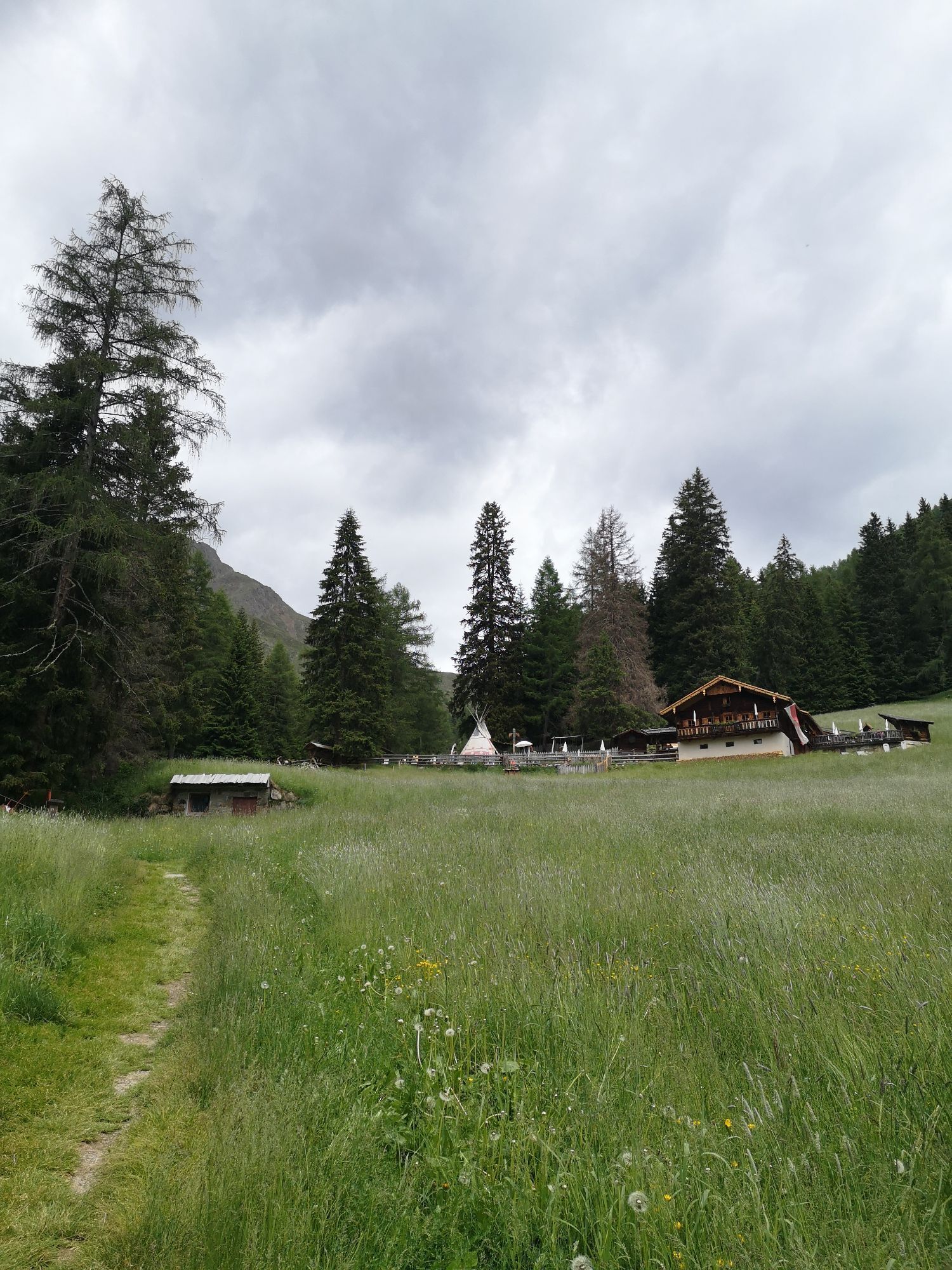
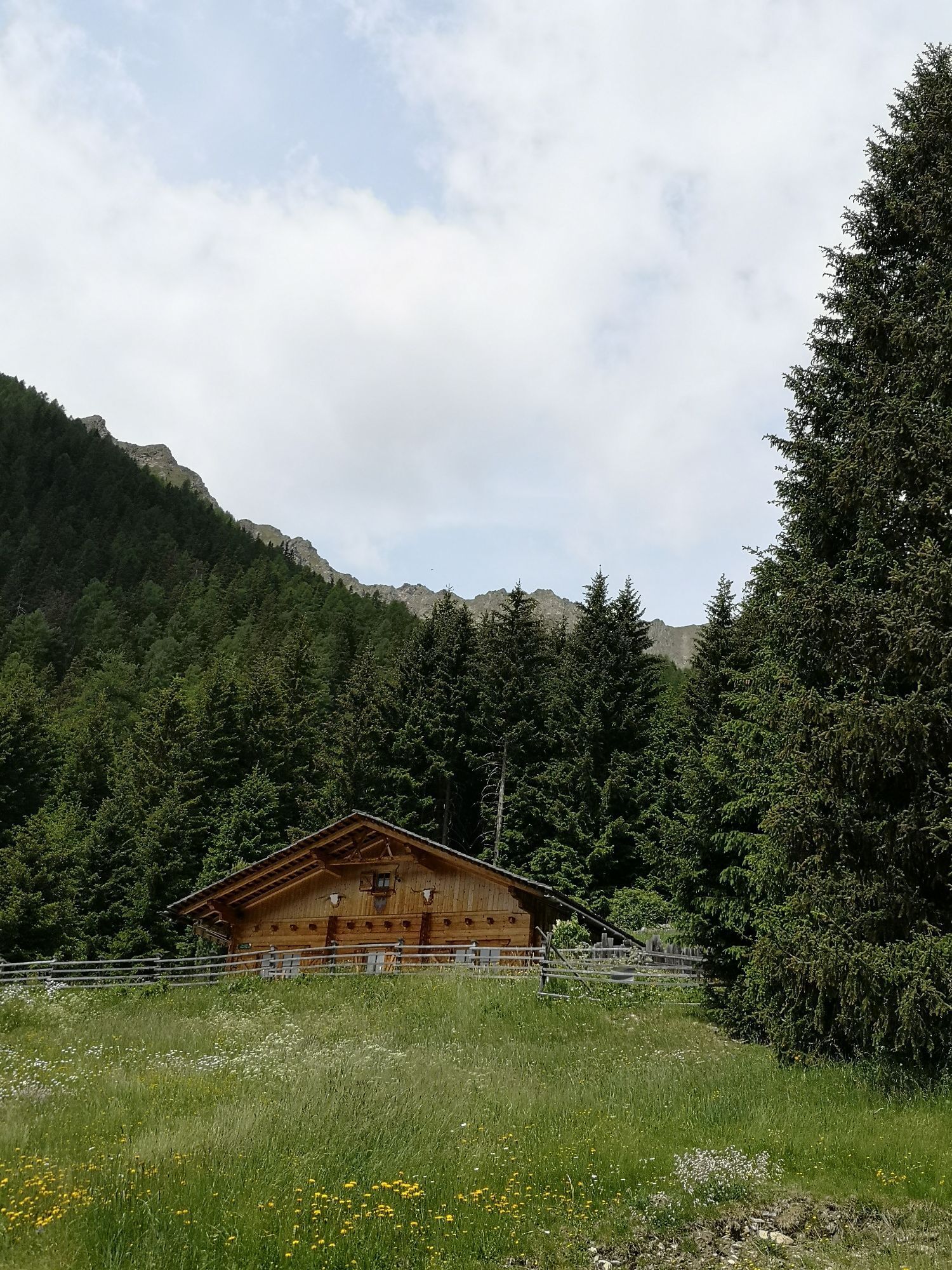
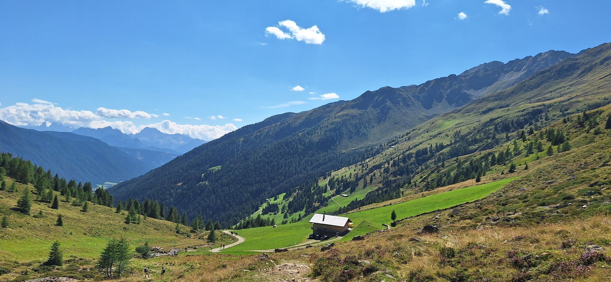
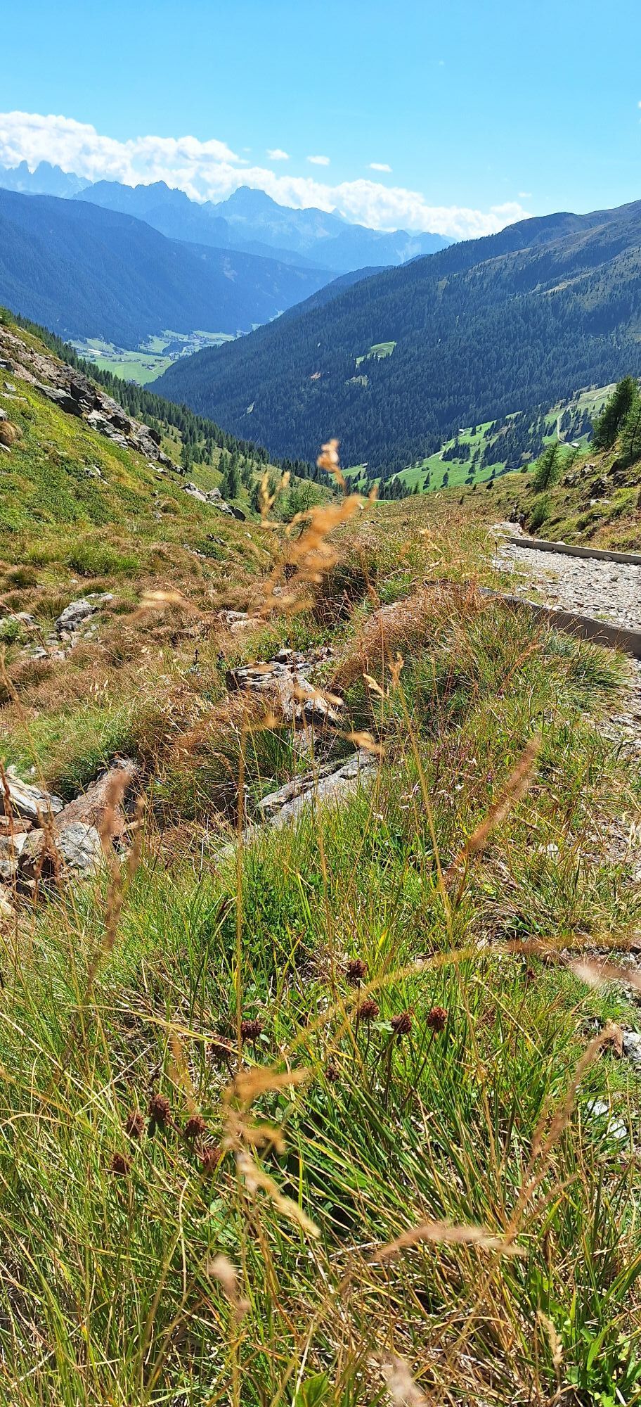
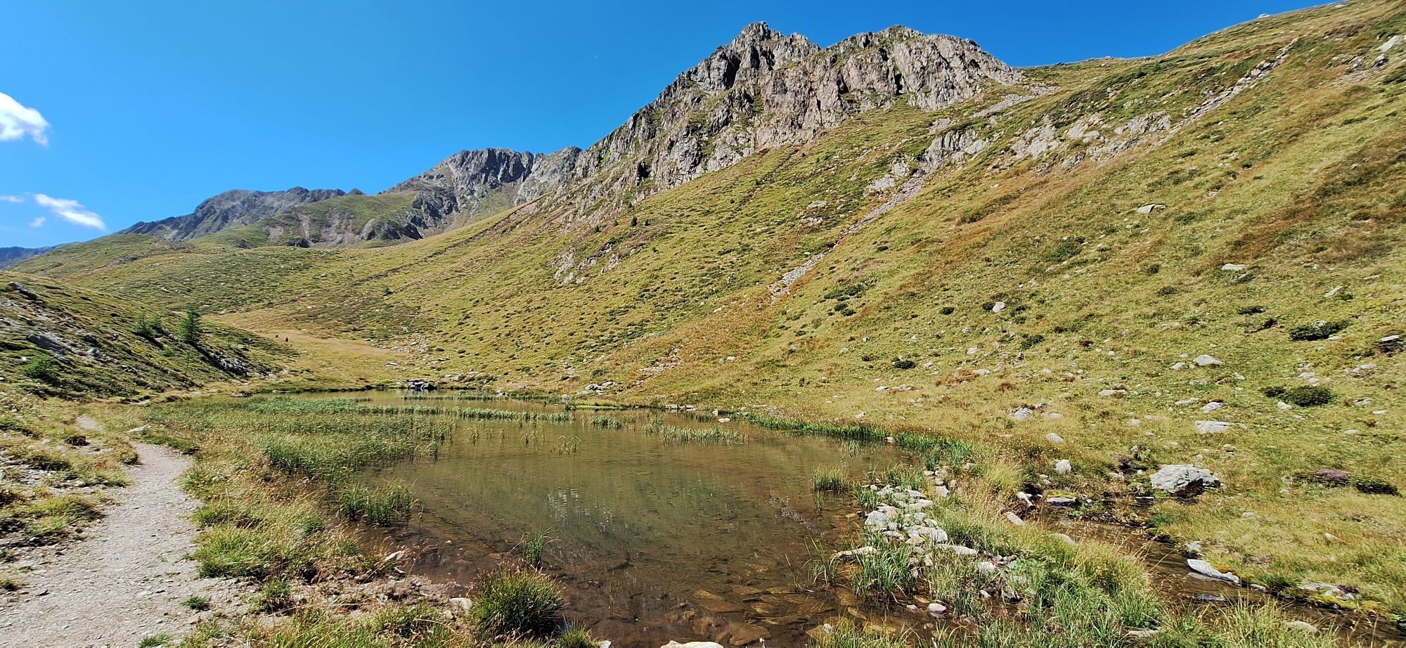
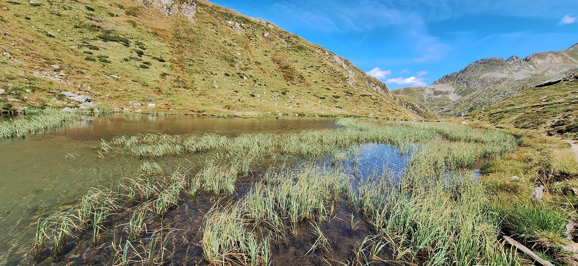
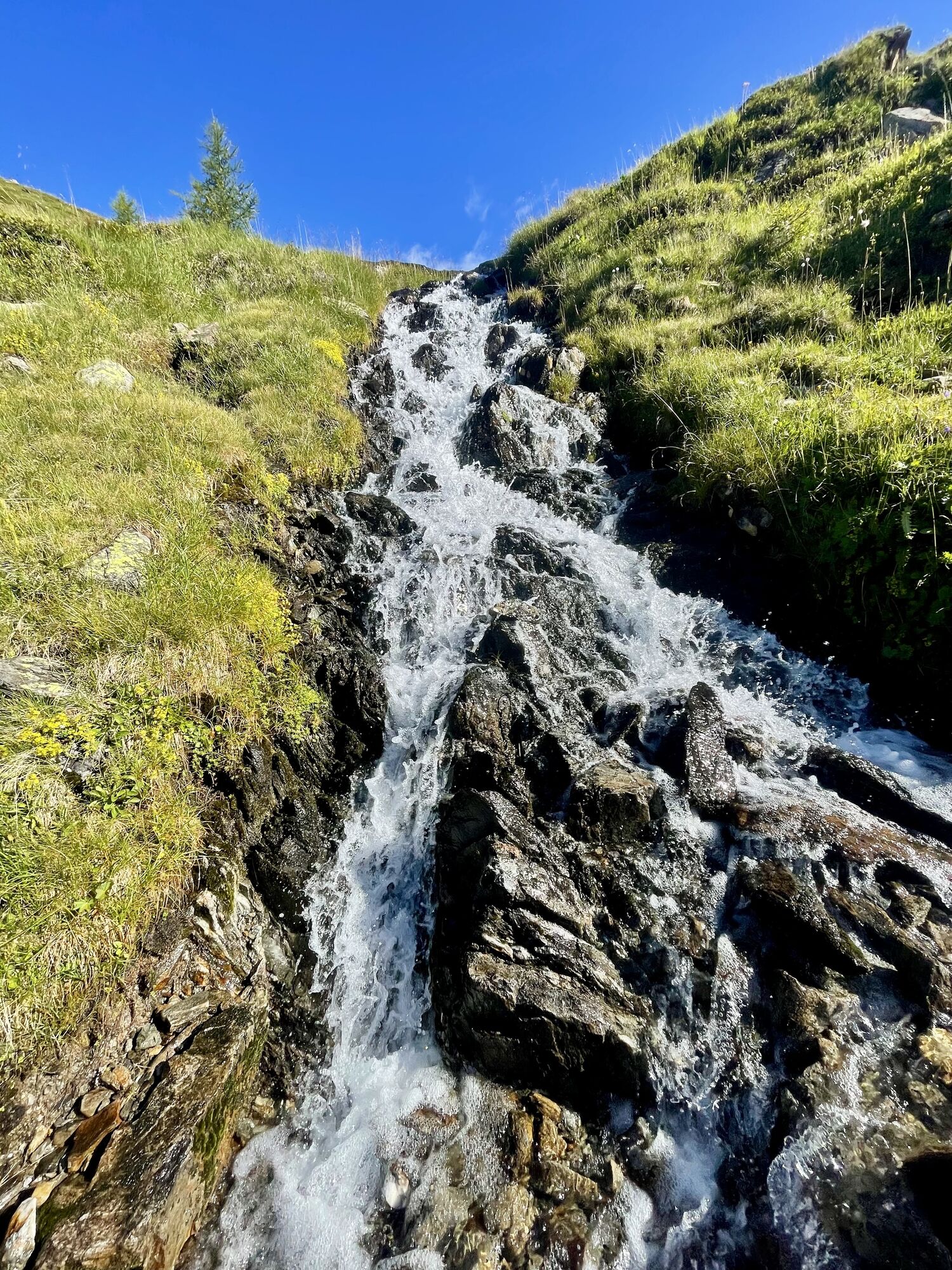
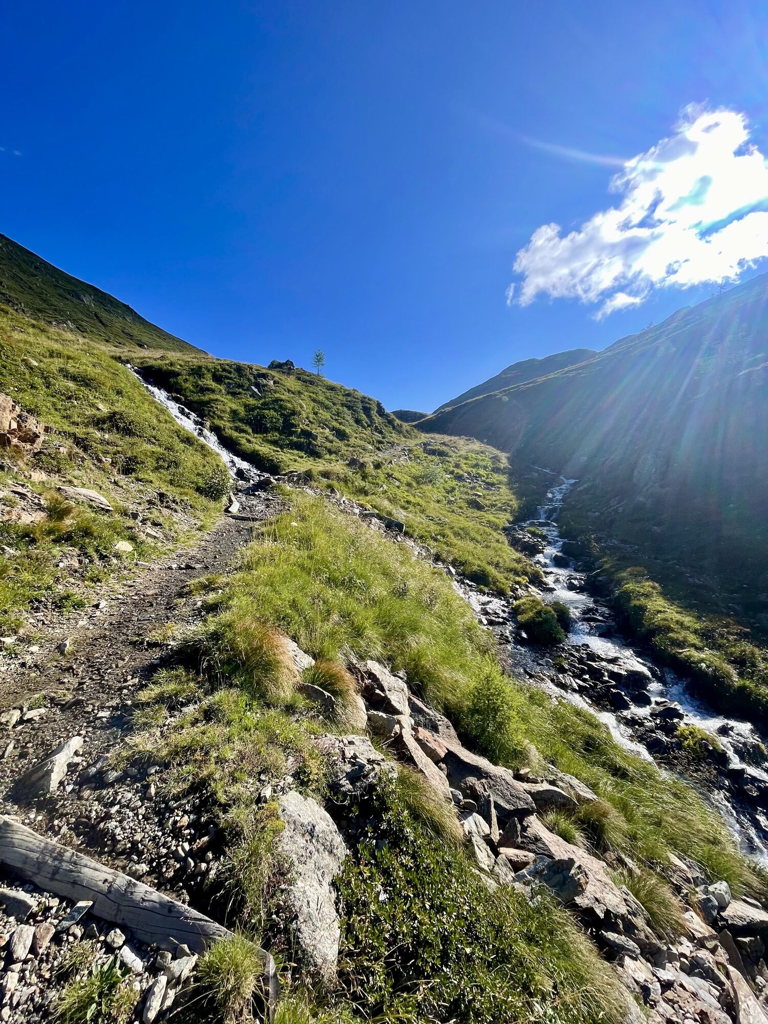
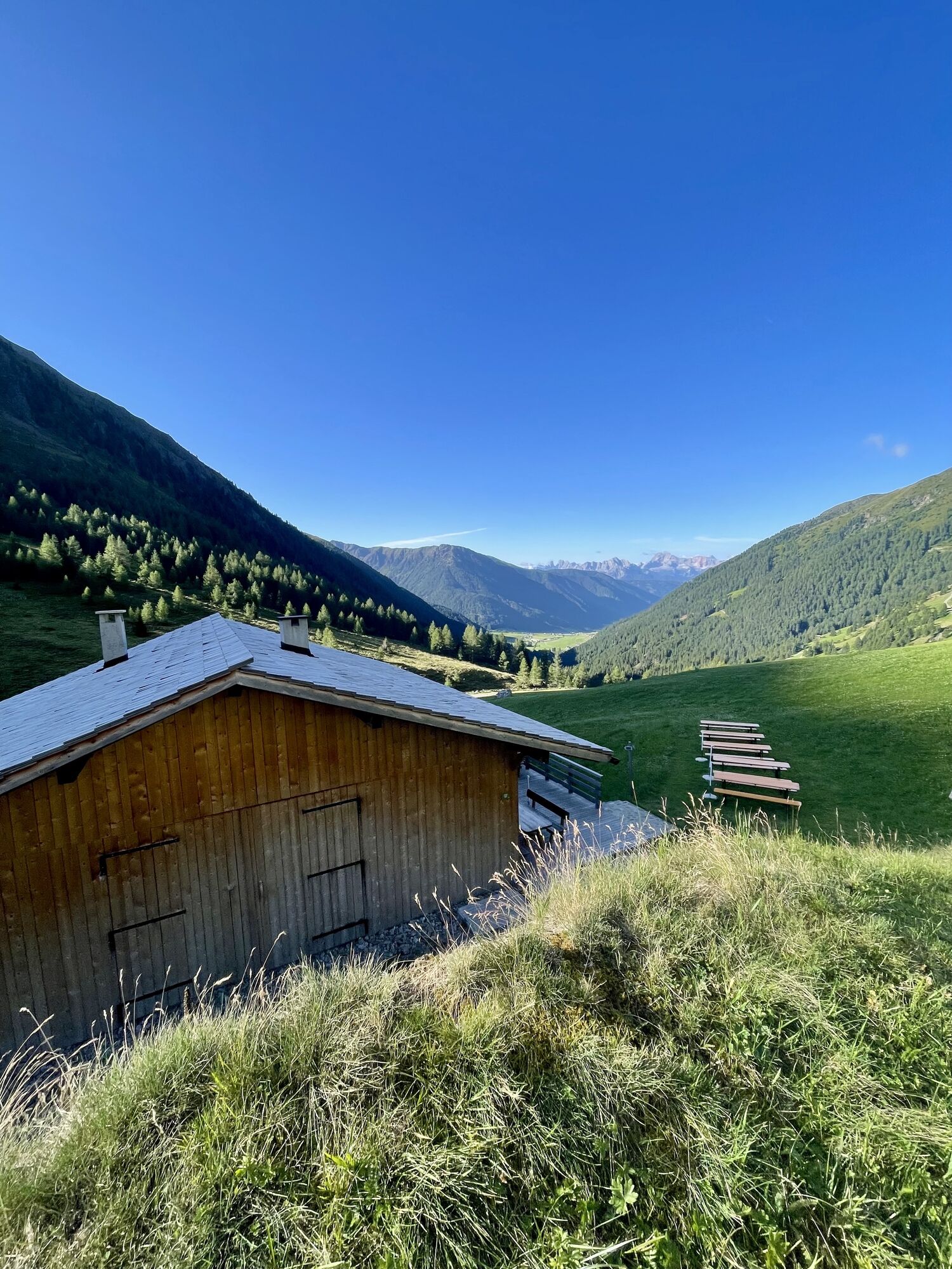
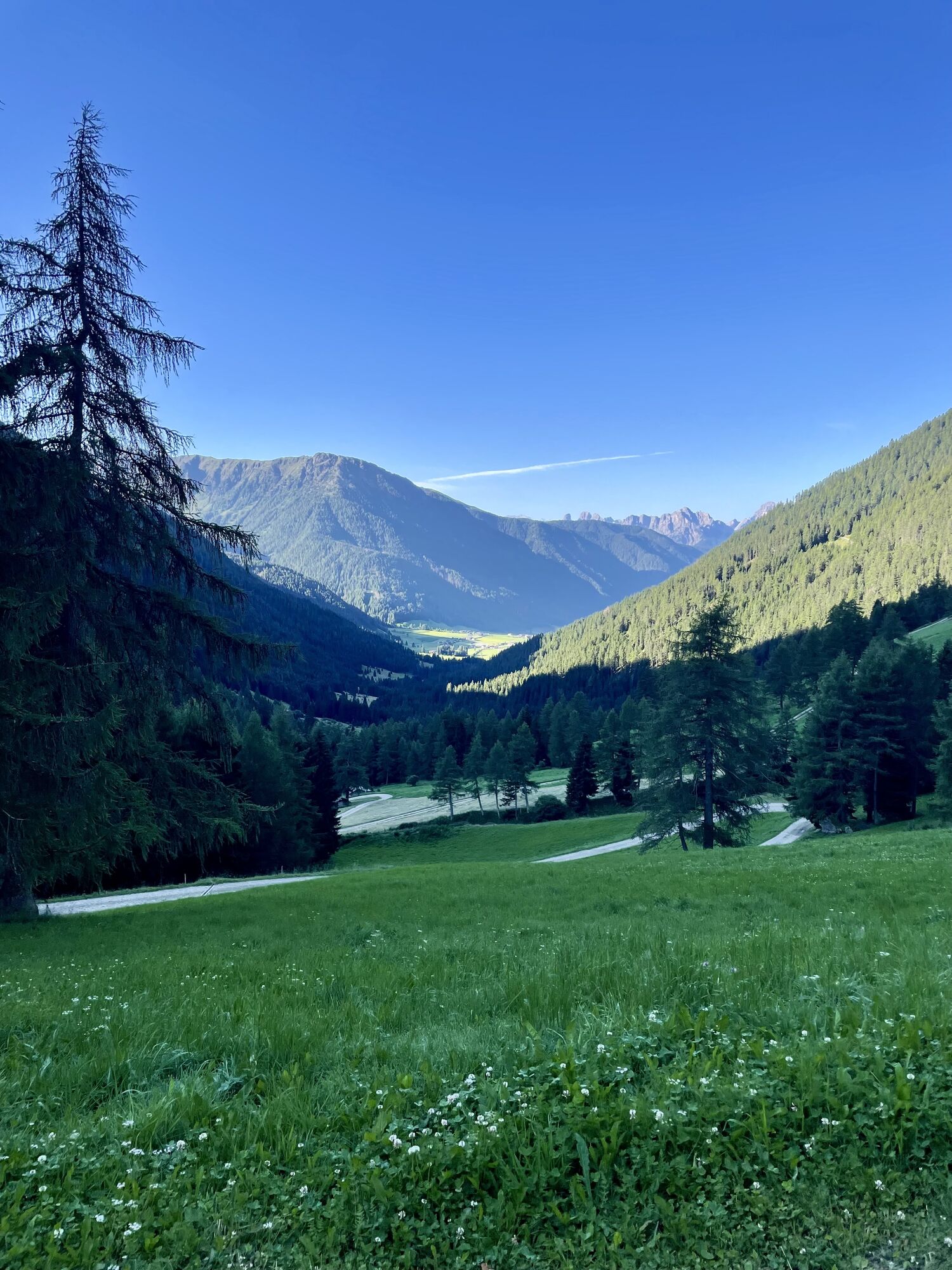
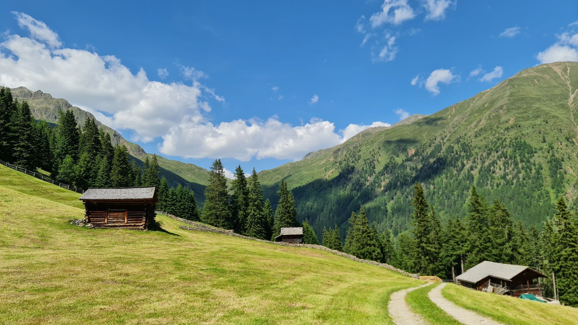
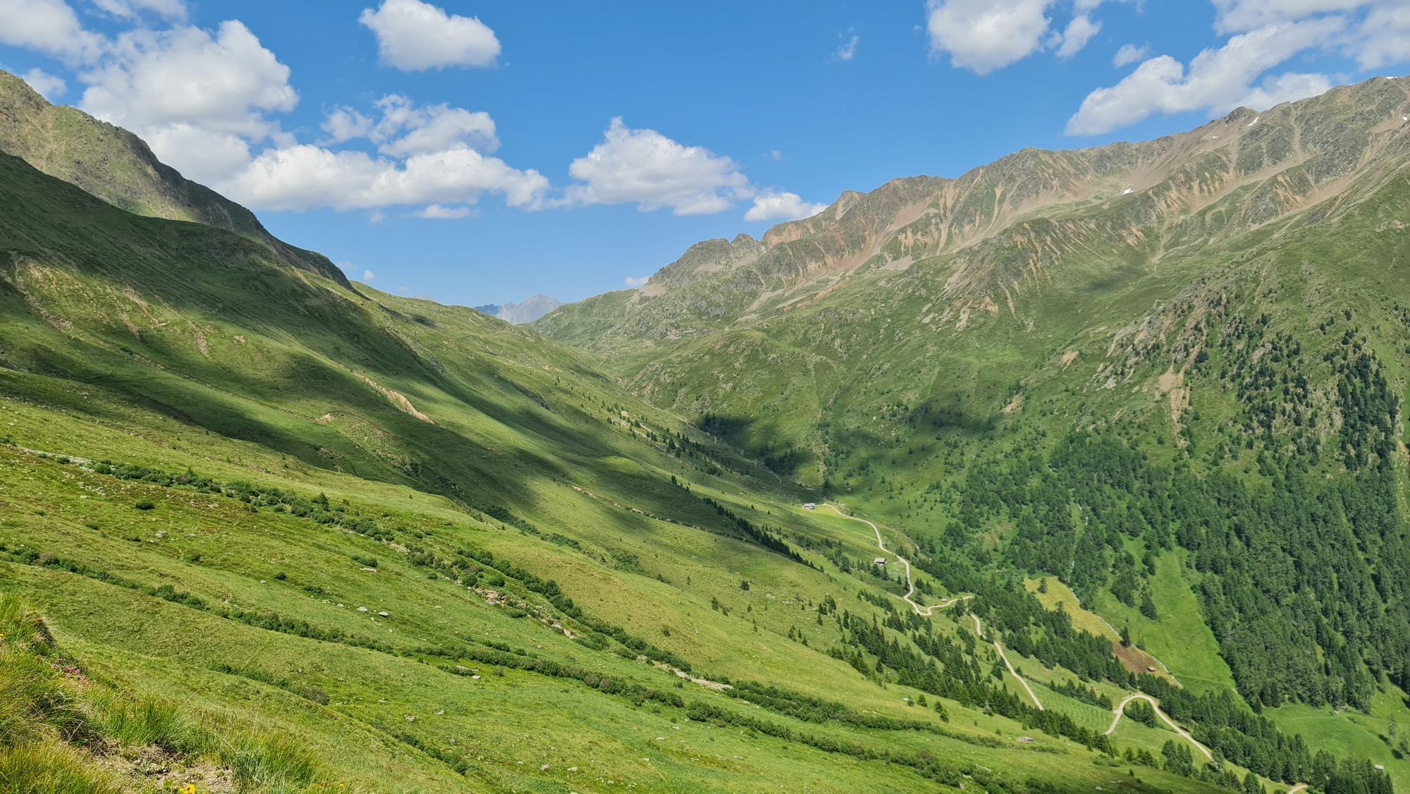
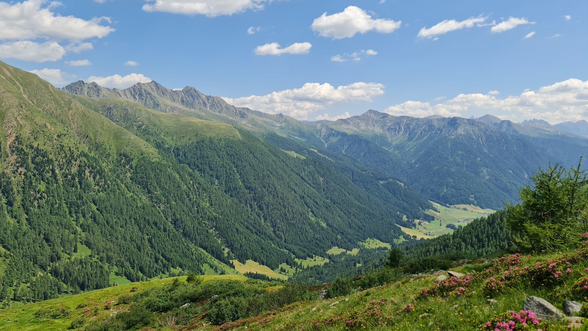
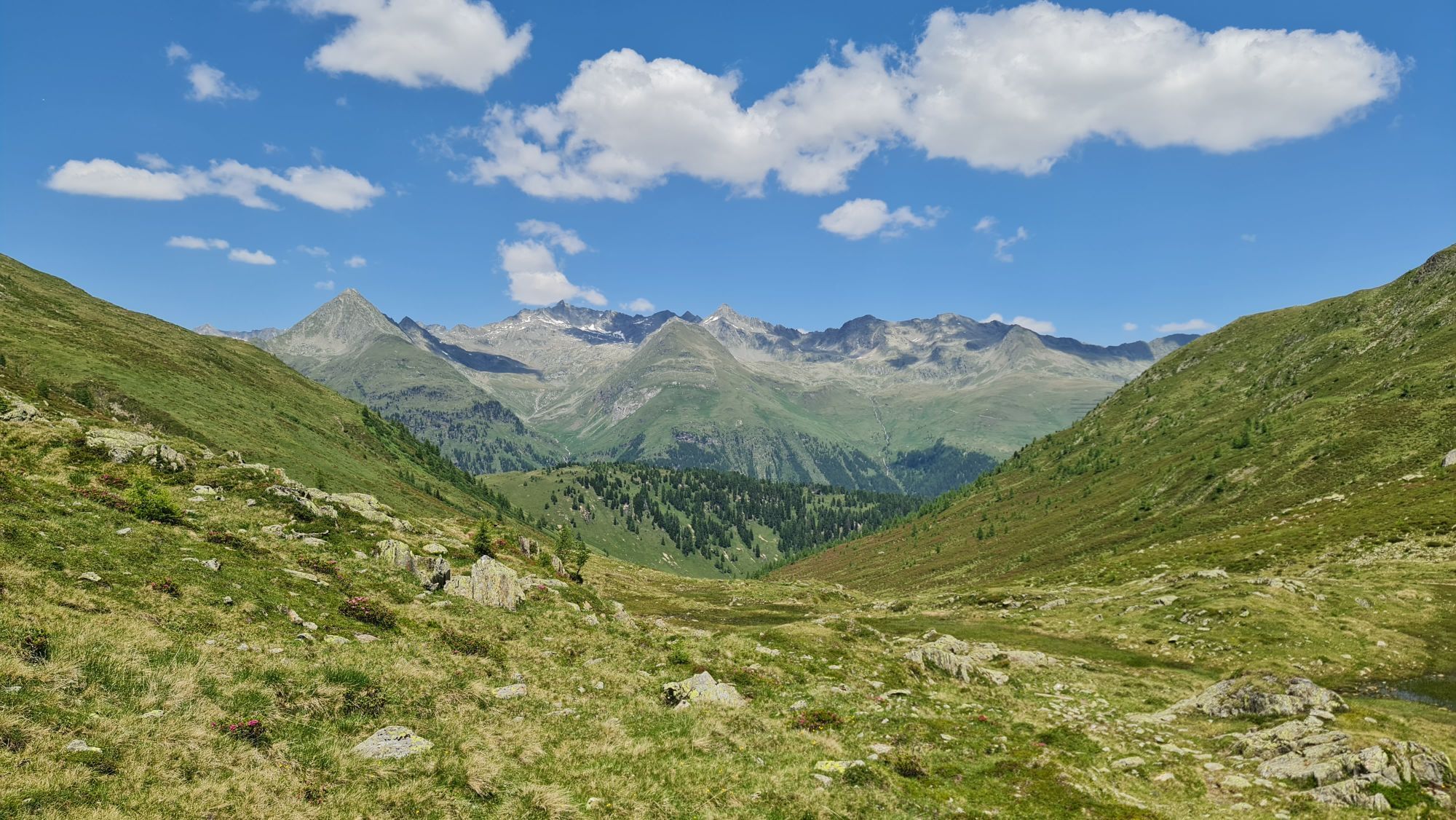
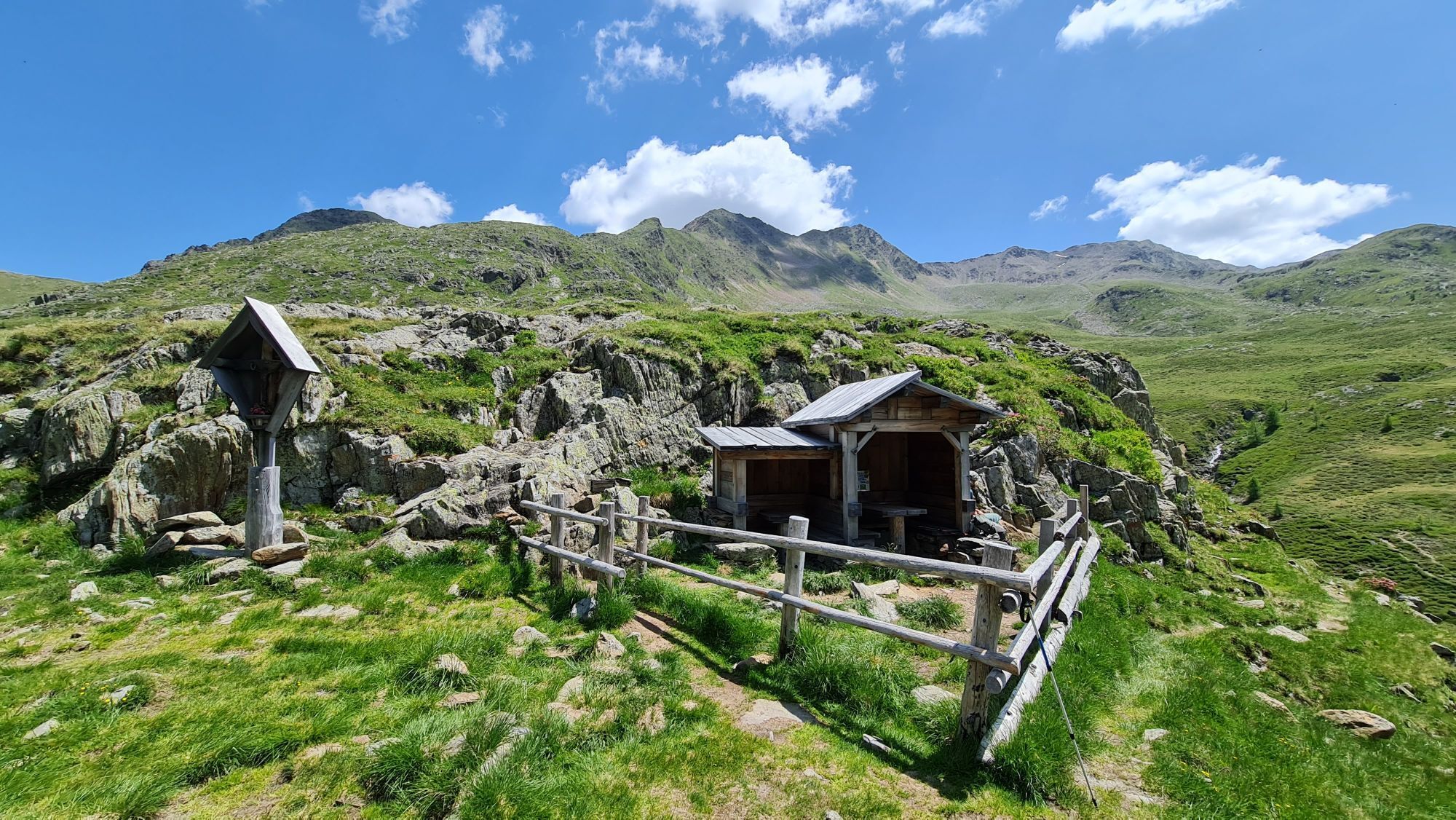
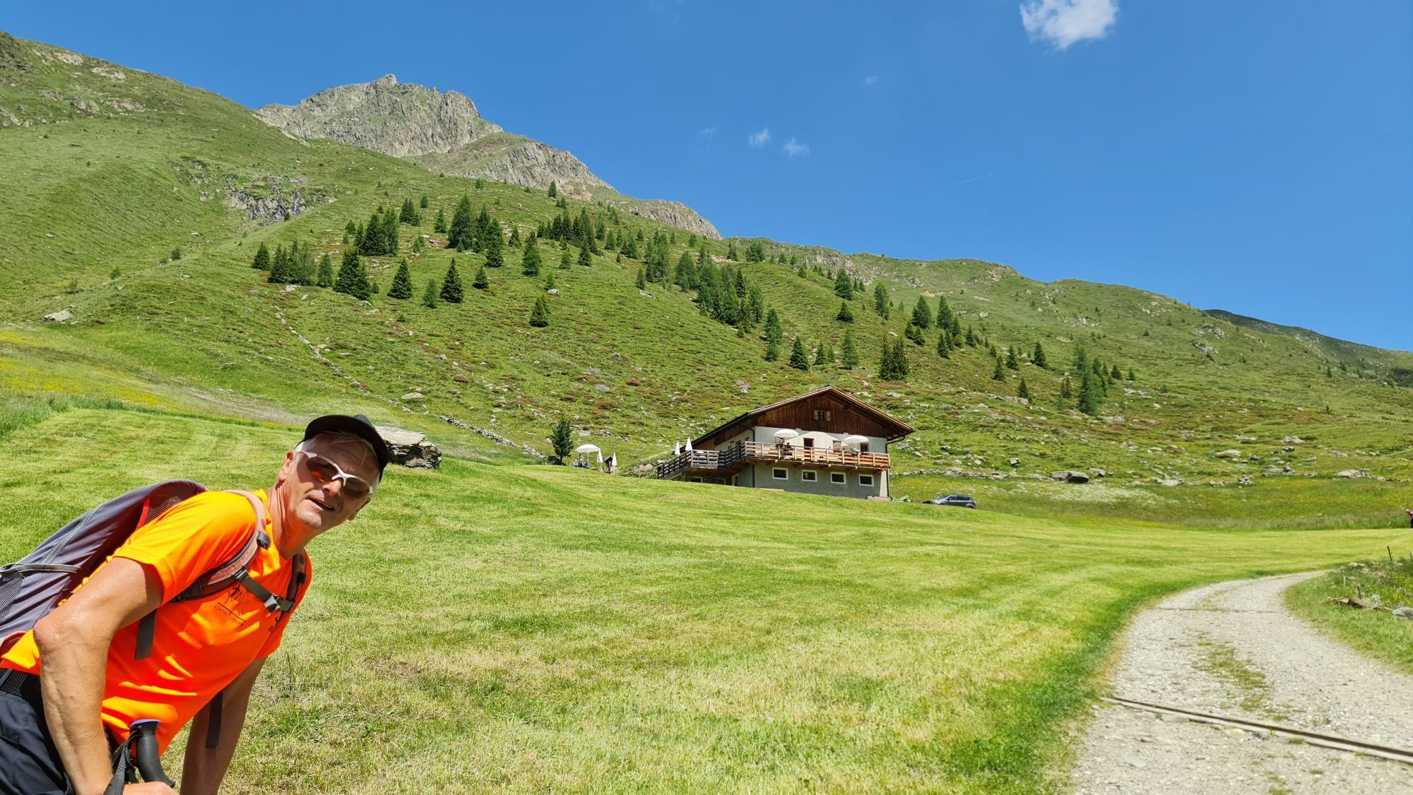
From the head of the valley (1460m) in the Val Casies Valley/S. Maddalena continue straight ahead into the valley to the hamlet Rotmoos, follow the trail no. 49 to the mountain huts Messner Hütte (1660m) and Kradorfer Alm (1704m) up to the Oberbergalm (1975m) and further uphill to the Gsieser Törl (2205m). The Val Casies Valley Almweg 2000 path, marked with a red dot, leads from the Gsieser Törl, evenly cross the mountain slopes in a westerly direction to the malga Weißbachalm (2112m) and proceed the driveway downhill to the malga Acherle Alm (1867m) and, finally, via trail number 53 to the starting point.


 Infórmate
Siempre en directo con más de 9.500 webcams. bergfex Como usuario Pro, ahora puede ver las webcams correspondientes a muchos tours en la app de tours desde. Esto le permite ver las condiciones actuales directamente.
Infórmate
Siempre en directo con más de 9.500 webcams. bergfex Como usuario Pro, ahora puede ver las webcams correspondientes a muchos tours en la app de tours desde. Esto le permite ver las condiciones actuales directamente.
Actividades a lo largo del recorrido
-

Valle di Casies, Trentino-Alto Adige/Italia
13.08.2026 – Senderismo -
Valle di Casies, Trentino-Alto Adige/Italia
11.08.2026 – Senderismo -
Sankt Jakob in Defereggen, Tirol/Österreich
02.08.2026 – Senderismo -

Valle di Casies, Trentino-Alto Adige/Italia
04.07.2026 – Senderismo -

Gsies, Trentino-Südtirol/Italien
28.06.2026 – E-MTB -
Gsies - Valle di Casies, Trentino-Alto Adige/Südtirol/Italia
21.06.2026 – Senderismo -

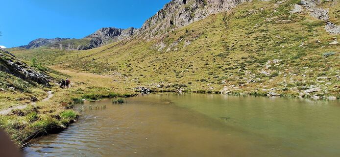
Valle di Casies, Trentino-Alto Adige/Italia
18.08.2025 – Senderismo
Rutas populares en los alrededores
-
4,8
NaturKraftWeg Umbalfälle
luzSendero temático 5,99 km -
4,6
Mountain hike to Mountain „Lutterkopf and Durakopf (2145/2275m)“
medioSenderismo de montaña 11,8 km -
4,8
Antholzer See - Steinzger Alm
medioSenderismo 7,48 km -
4,8
Stoden - Clarahütte
medioSenderismo 7,12 km -
4,7
Rund um den Antholzer See
luzSenderismo 4,27 km -
4,9
Oberhausalm - Jagdhaushütte
luzSenderismo 14,0 km -
4,4
Seespitze
medioSenderismo 13,7 km -
4,6
Rote Wand
medioExcursión de alta montaña 12,0 km -
4,7
Von Kalkstein auf das Toblacher Pfannhorn (2.663 m) und Marchkinkele
medioSenderismo 14,2 km -
4,8
Wiesbauerspitze 2.767 m
medioSenderismo 9,66 km

Senderismo y rastreo


No se pierda las ofertas y la inspiración para sus próximas vacaciones
Su dirección de correo electrónico se ha añadido a la lista de correo.





