


Niedernsill: Katzsteinalm


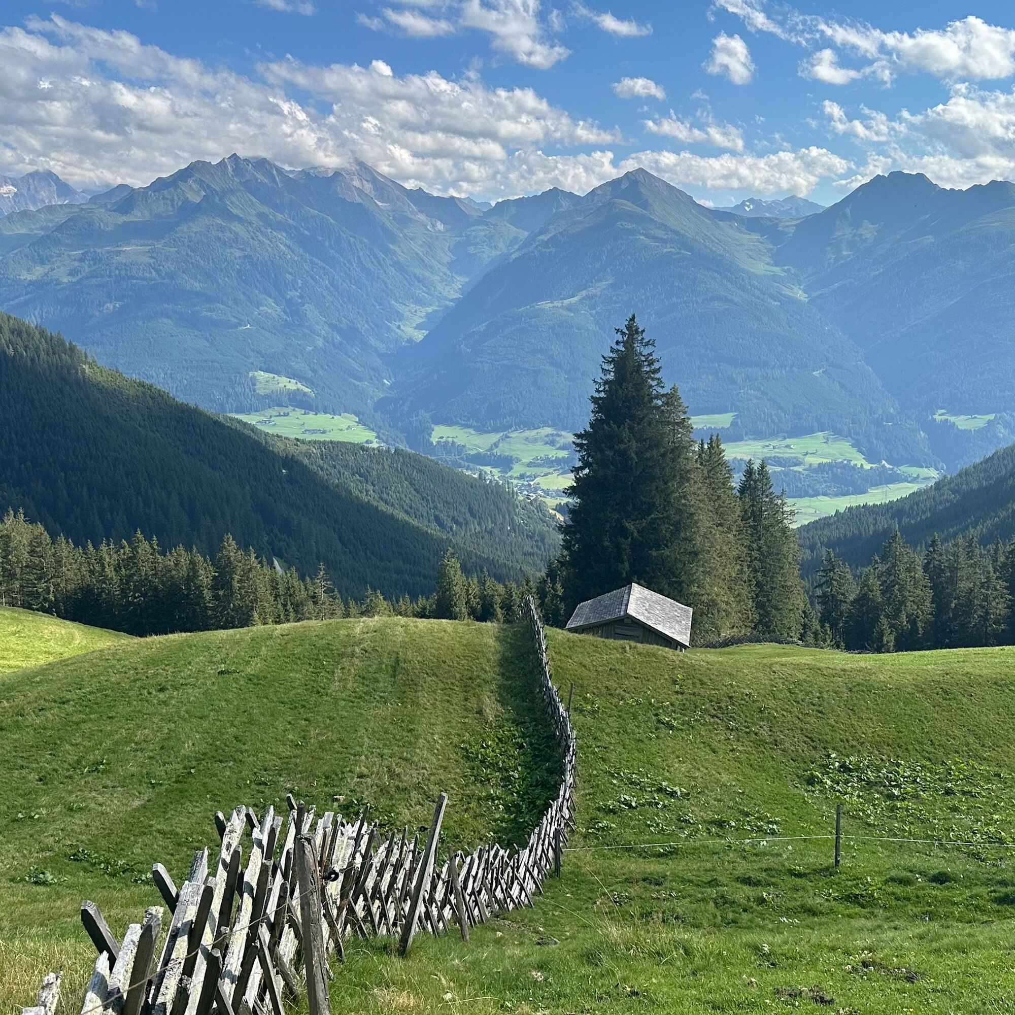
During the hike you will soon be rewarded with wonderful views. After approx. 800 metres in altitude, you will reach the idyllic alpine pasture landscape, which is decorated with an old landscape craft...
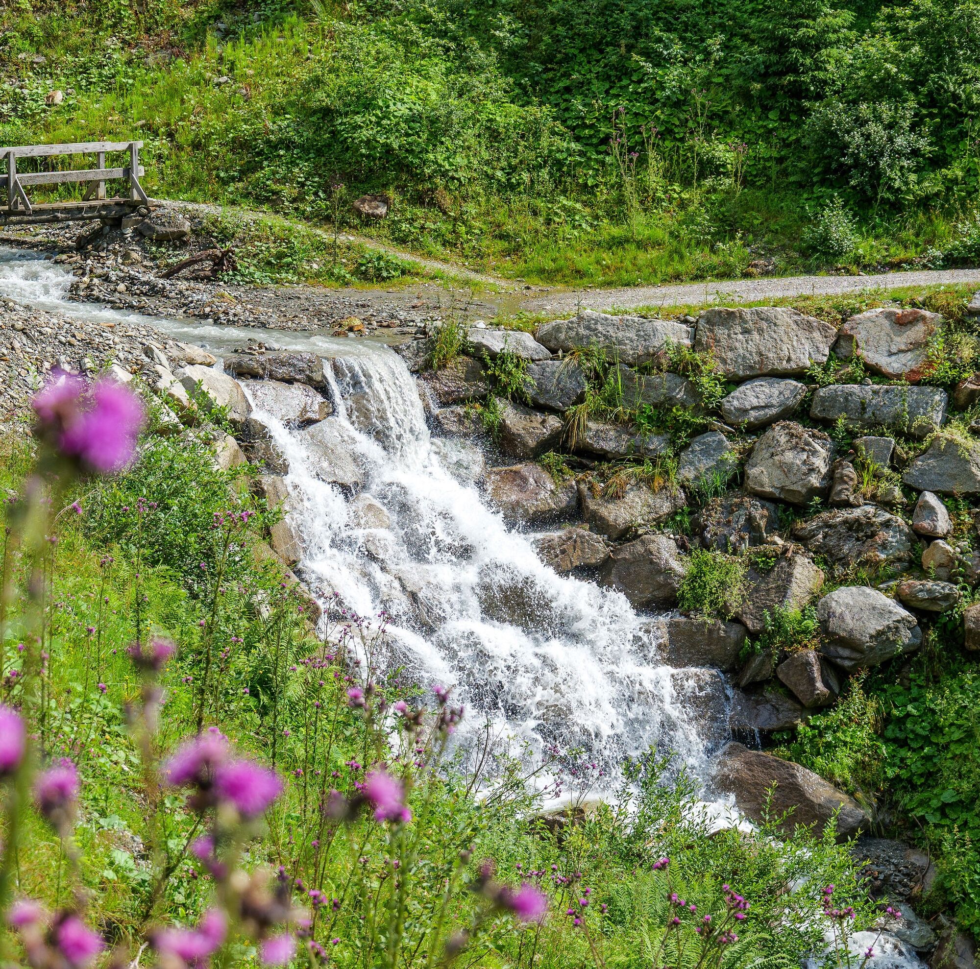
During the hike you will soon be rewarded with wonderful views. After approx. 800 metres in altitude, you will reach the idyllic alpine pasture landscape, which is decorated with an old landscape craft - the traditional Pinzgau fence - a dense fence made of wood.

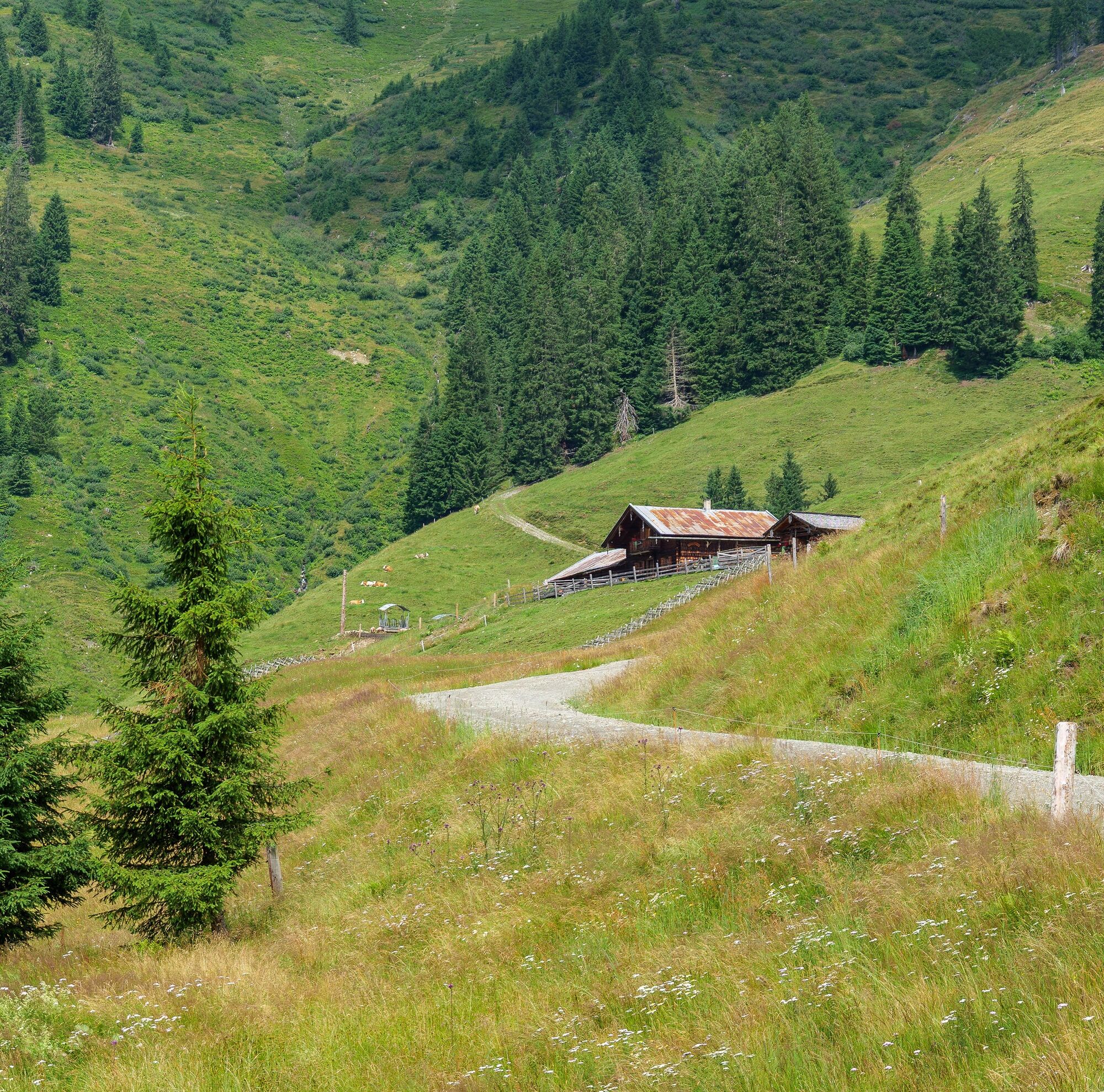
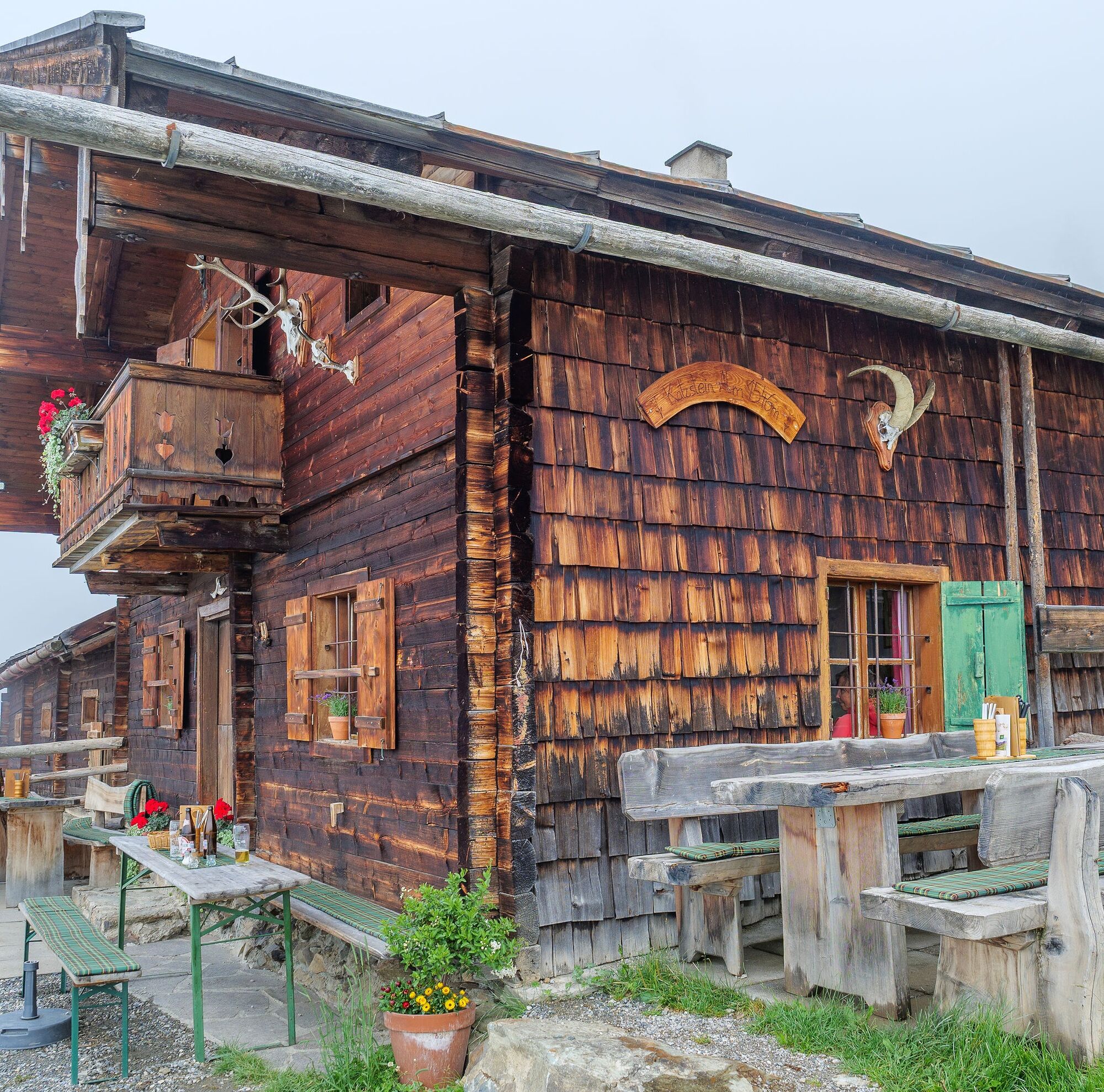
From the hiking info point, follow the road to the roundabout and continue left through the subway into Steindorfer Straße. Now follow the hiking trails 3 and 5 via Gaisbichl to Hochprack. Then continue along the forest road, trail no. 5 straight on in the direction of Röderlehen. After crossing the stream, turn left onto the somewhat steeper hiking trail 5A and follow it to the Katzsteinalm. Return along the ascent route for a short distance and then continue straight on along trail 5A to the forest raod. Keep left here and follow the road to Röderlehen. In the bend, below the farm, turn left onto hiking trail 5. The hike leads back to the starting point via Gitschen and Ematen.
Sí
Ankle high hiking boots, drinks & snacks, backpack, rain protection, mobile phone
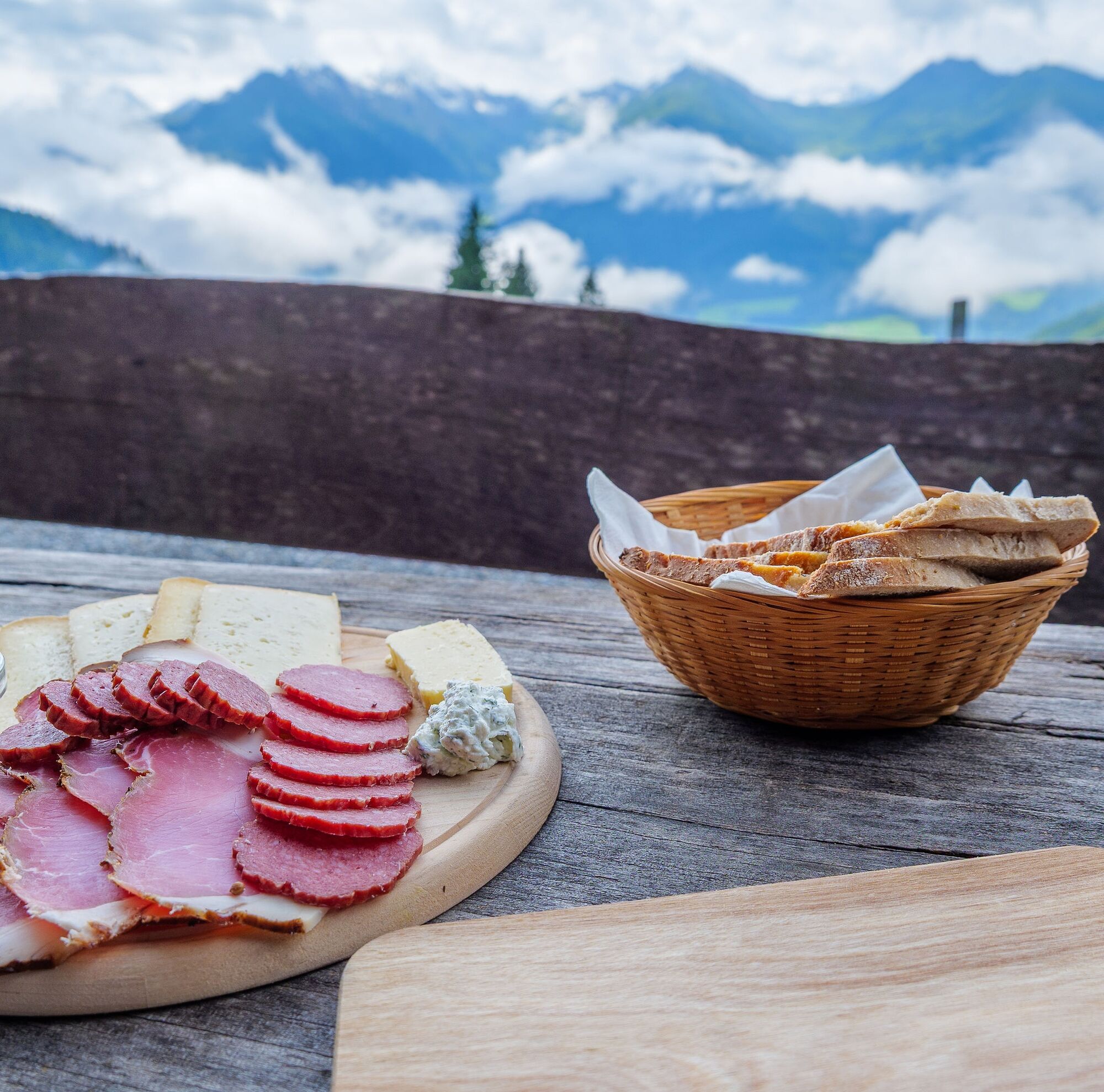
We hope that the snacks and drinks you take with you on your hike will give you the strength to carry back the packaging material and empty cans and bottles.
We kindly ask you to observe the Fair Play & Rules of Conduct!
Fairness and mutual consideration form the basis for a common together and the protection of the various interests in the natural region!
Sufficient parking available in the centre of the village.
Rutas populares en los alrededores
-
4,7
Tristkogel
pesadoSenderismo 15,6 km -
4,5
Sigmund Thun Klamm
luzSenderismo 3,10 km -
4,7
Fusch: Gleiwitzer Hütte
pesadoSenderismo 8,26 km -
4,8
Sigmund Thun Klamm, Klammsee, Bürgkogel
luzSenderismo 4,56 km -
4,2
Spielbergalmen
medioSenderismo 10 km -
5,0
Manlitzkogel
pesadoSenderismo 13,4 km -
4,2
Sendero de altura Saalachtaler ESTE (Asitz - Biberg)
medioSenderismo 13,1 km -
4,4
Thumersbach, Runde um den Zeller See
luzSenderismo 13,3 km -
3,3
Hinterglemm: Talschluß-Höhenweg
luzSenderismo 10,8 km -
4,3
Schattberg Summit Round
medioSenderismo 3,17 km
Senderismo y rastreo


No se pierda las ofertas y la inspiración para sus próximas vacaciones
Su dirección de correo electrónico se ha añadido a la lista de correo.