


Hight Tour Zauchensee - Hinterkogel - Lackenkogel - Flachau


Fotos de nuestros usuarios
-

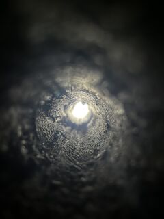
 © HaraldCreado el 14.10.2025
 -

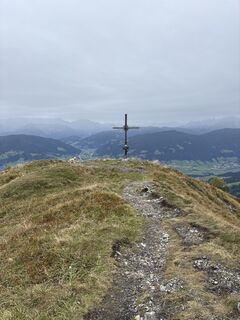
 © cherry berryCreado el 10.10.2025
 -
 © cherry berryCreado el 10.10.2025
 -
 © cherry berryCreado el 10.10.2025
 -
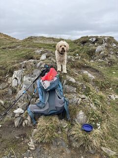
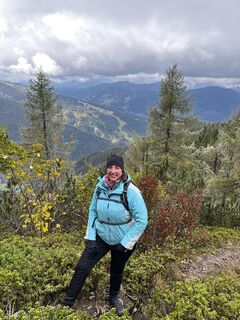
 © Karin ZornCreado el 04.10.2025
 -
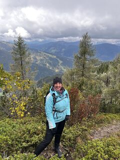
 © Karin ZornCreado el 04.10.2025
 -
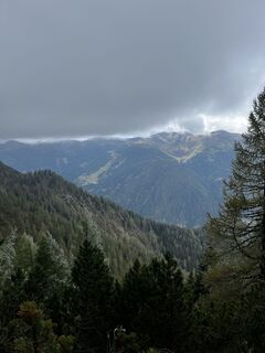
 © Karin ZornCreado el 04.10.2025
 -
 © Karin ZornCreado el 04.10.2025
 -
 © Karin ZornCreado el 04.10.2025
 -
 © Karin ZornCreado el 04.10.2025
 -
 © Karin ZornCreado el 04.10.2025
 -
 © Karin ZornCreado el 04.10.2025
 -
 © Karin ZornCreado el 04.10.2025
 -
 © Karin ZornCreado el 04.10.2025
 -
 © Karin ZornCreado el 04.10.2025
 -

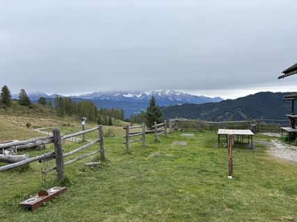
 © Falk DrechselCreado el 02.10.2025
 -
 © Falk DrechselCreado el 02.10.2025
 -
 © Falk DrechselCreado el 02.10.2025
 -
 © Falk DrechselCreado el 02.10.2025
 -
 © Falk DrechselCreado el 02.10.2025
 -
 © Falk DrechselCreado el 02.10.2025
 -
 © Falk DrechselCreado el 02.10.2025
 -
 © Falk DrechselCreado el 02.10.2025
 -
 © Falk DrechselCreado el 02.10.2025
 -
 © Falk DrechselCreado el 02.10.2025
 -
 © Falk DrechselCreado el 02.10.2025
 -
 © Falk DrechselCreado el 02.10.2025
 -
 © Falk DrechselCreado el 02.10.2025
 -
 © Falk DrechselCreado el 02.10.2025
 -
 © Falk DrechselCreado el 02.10.2025
 -
 © Falk DrechselCreado el 02.10.2025
 -
 © Falk DrechselCreado el 02.10.2025
 -
 © Falk DrechselCreado el 02.10.2025
 -
 © Falk DrechselCreado el 02.10.2025
 -
 © Falk DrechselCreado el 02.10.2025
 -
 © Falk DrechselCreado el 02.10.2025
 -
 © Falk DrechselCreado el 02.10.2025
 -

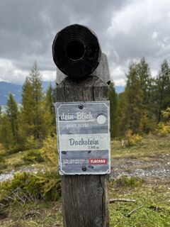
 © Ursula Müller 1Creado el 18.07.2025
 -
 © Ursula Müller 1Creado el 18.07.2025
 -
 © Ursula Müller 1Creado el 18.07.2025
 -
 © Ursula Müller 1Creado el 18.07.2025
 -
 © Ursula Müller 1Creado el 18.07.2025
 -
 © Ursula Müller 1Creado el 18.07.2025
 -
 © Ursula Müller 1Creado el 18.07.2025
 -
 © Ursula Müller 1Creado el 18.07.2025
 -
 © Ursula Müller 1Creado el 18.07.2025
 -
 © Ursula Müller 1Creado el 18.07.2025
 -
 © Ursula Müller 1Creado el 18.07.2025
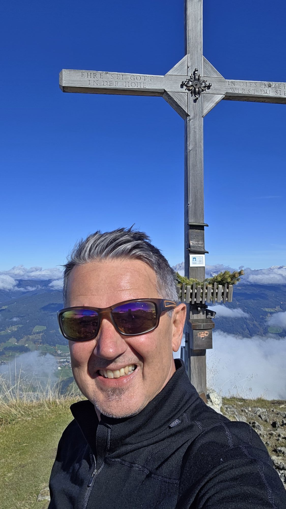


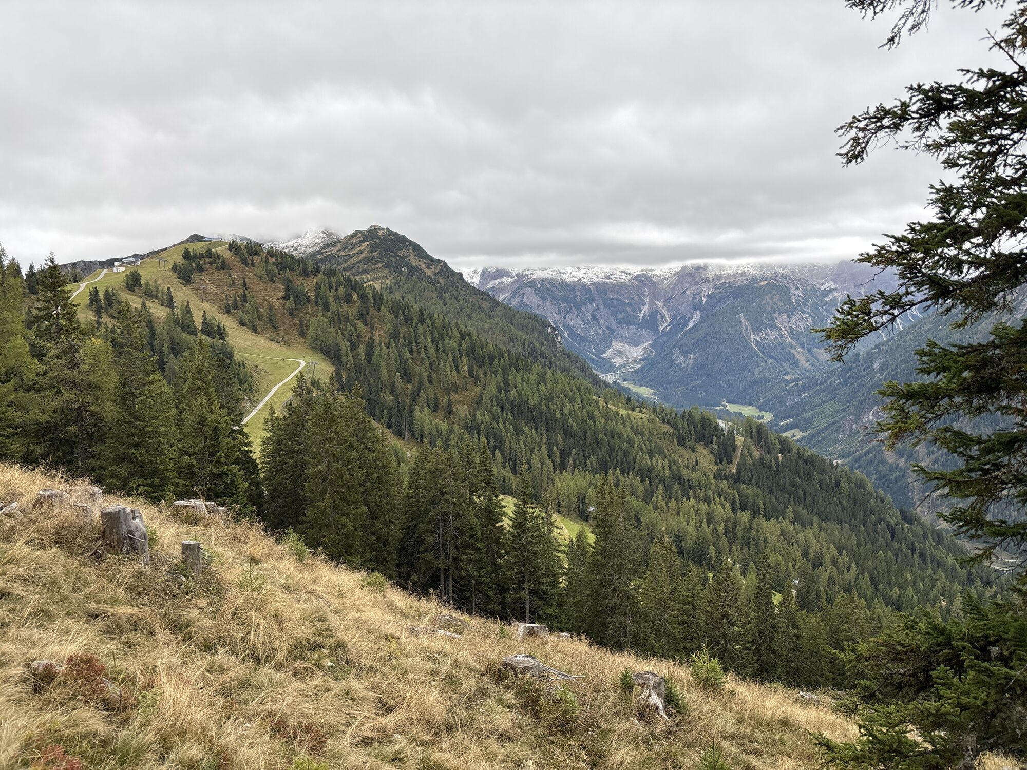
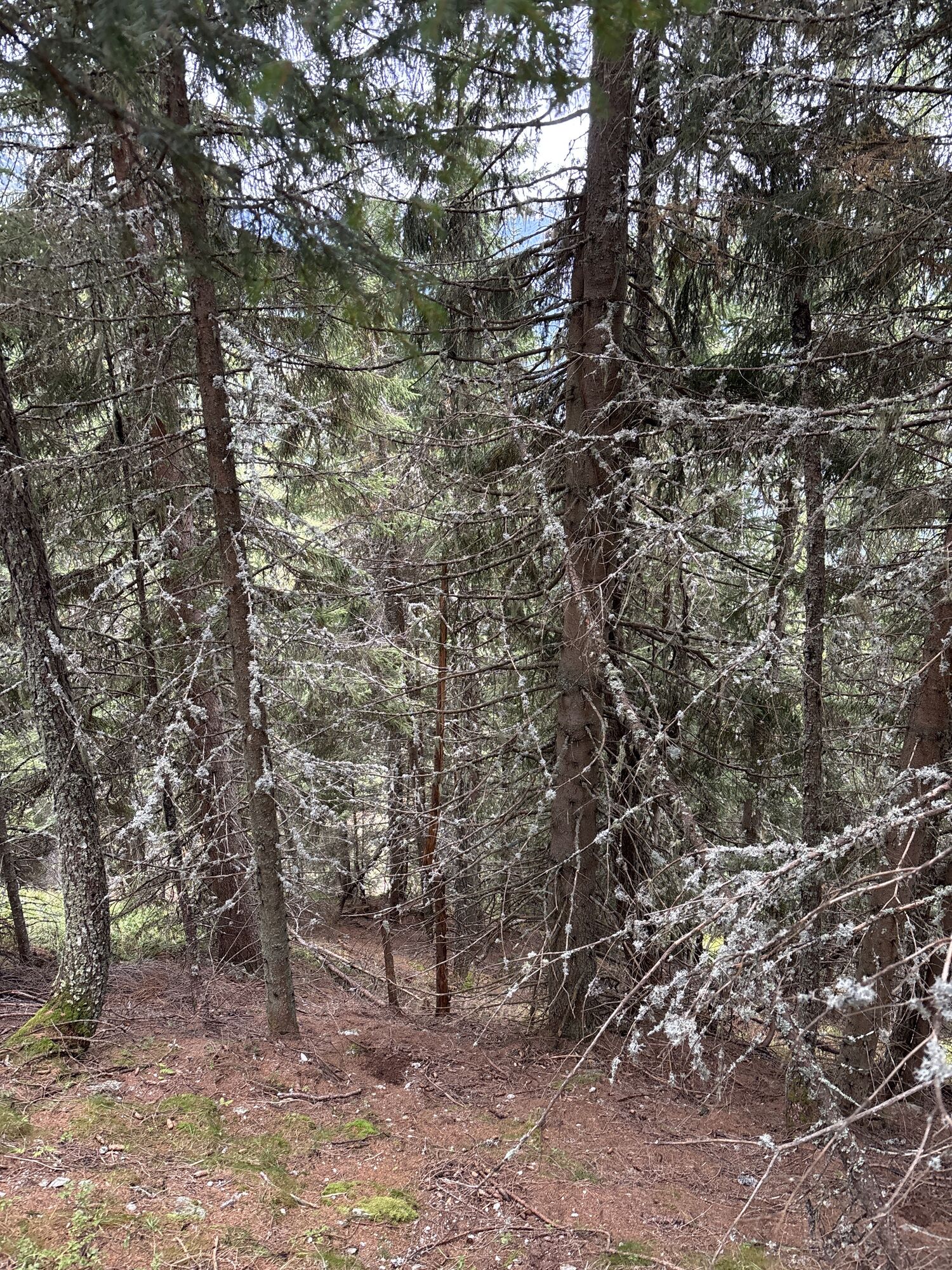

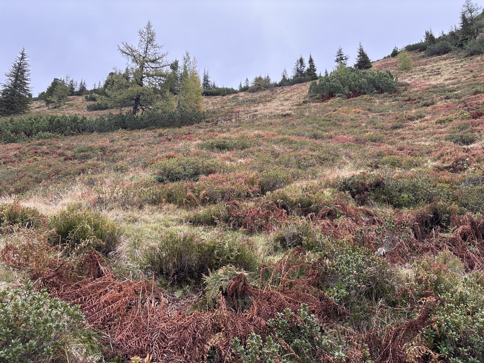
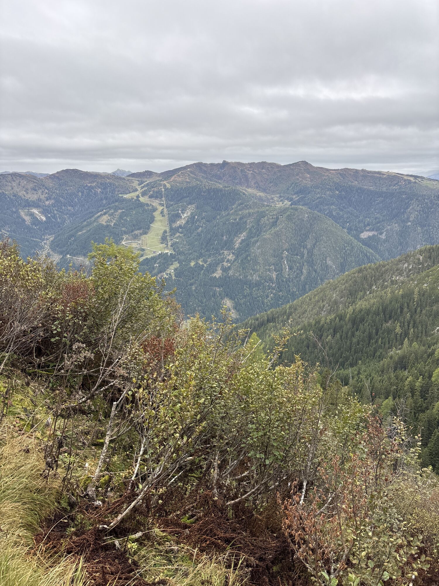
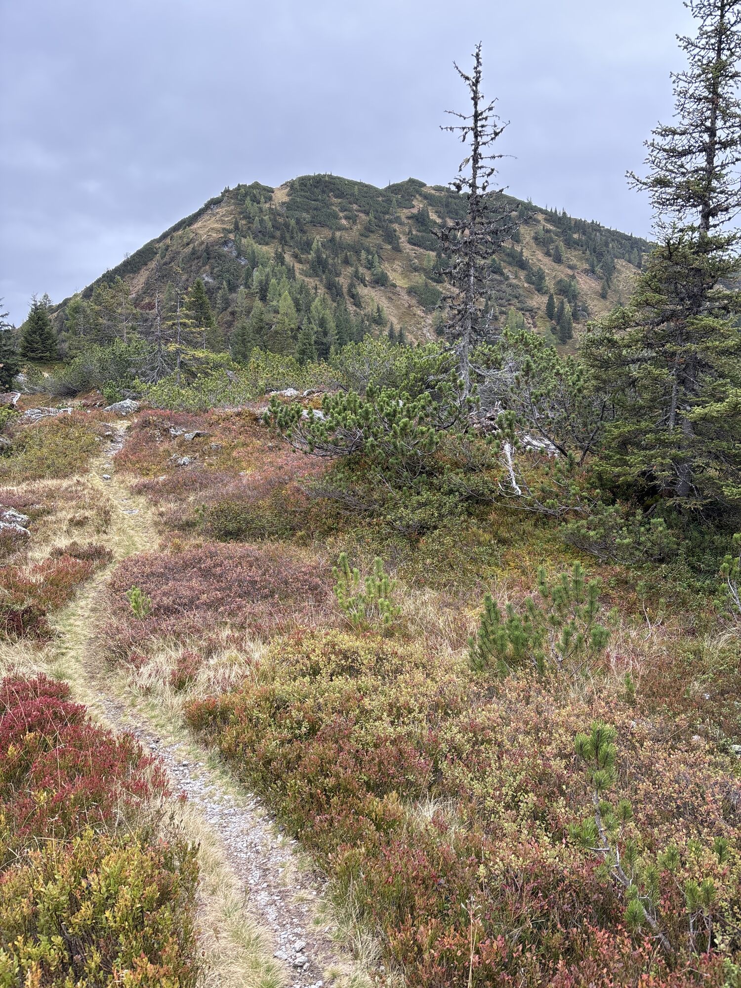
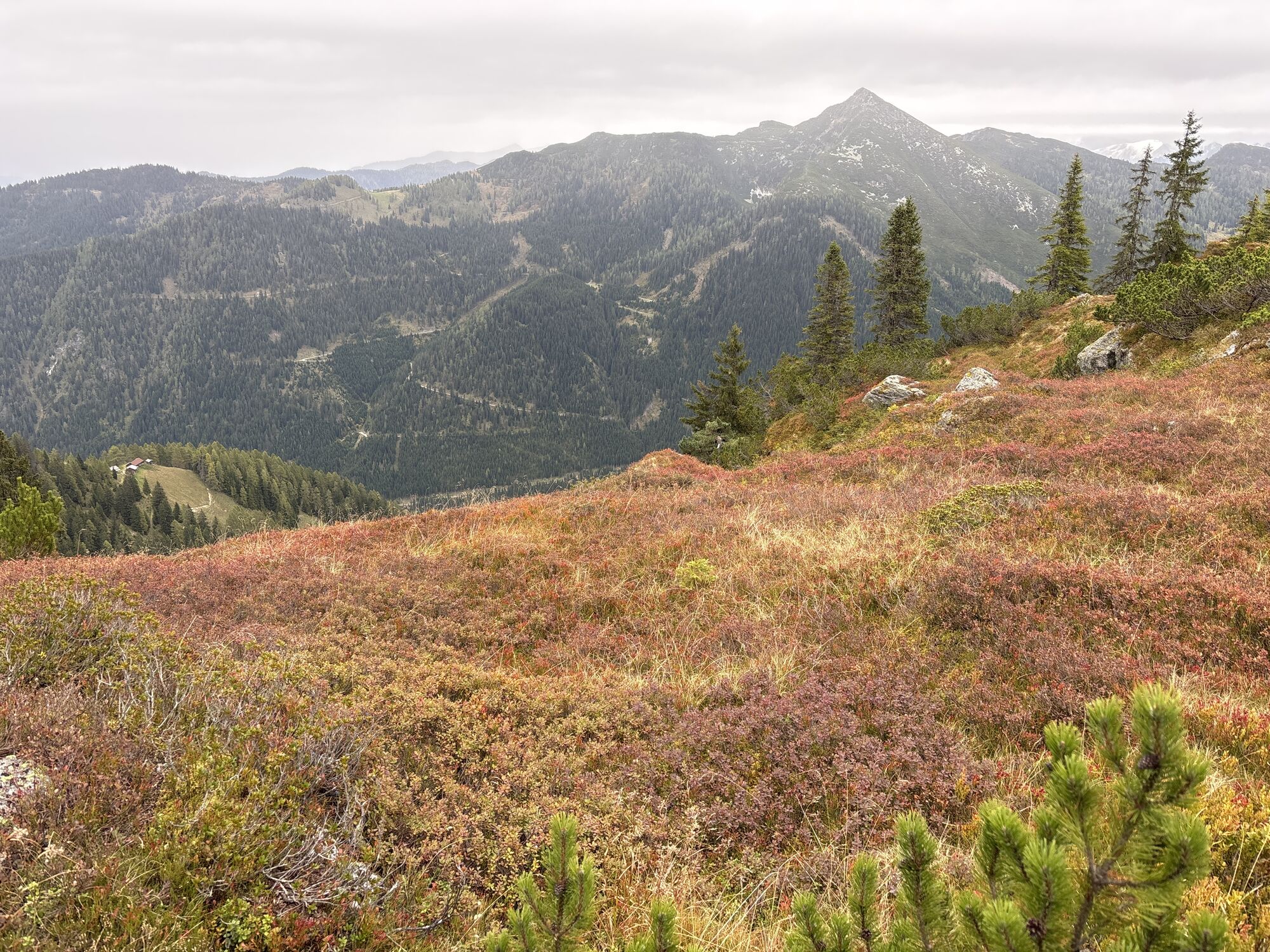
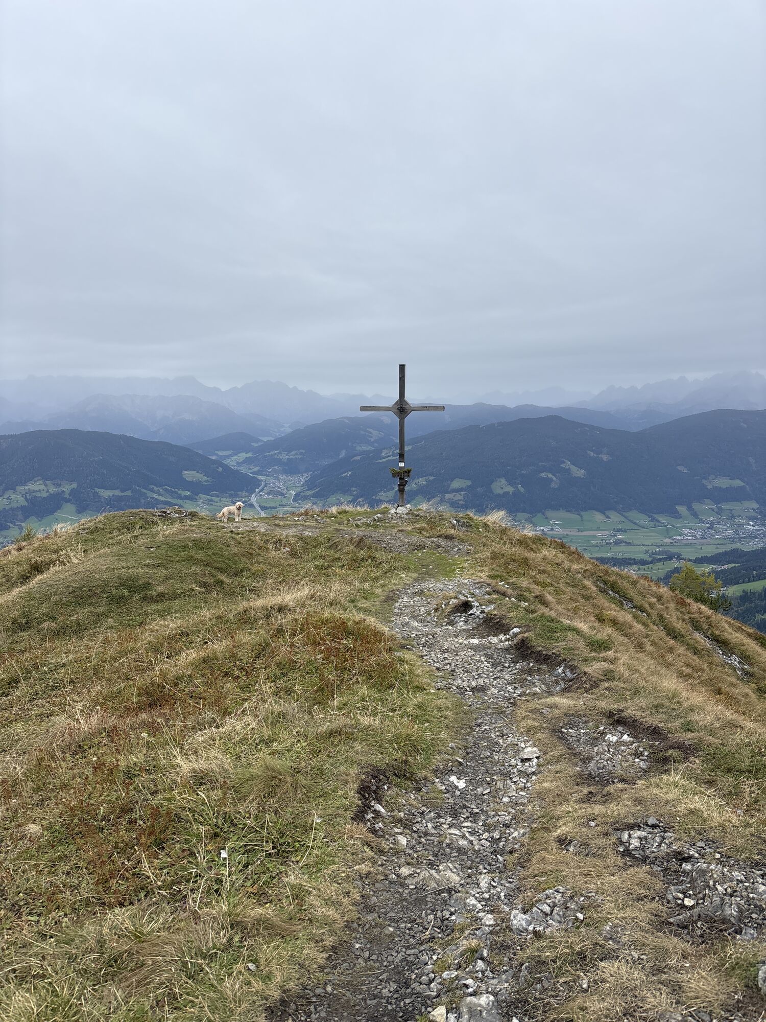
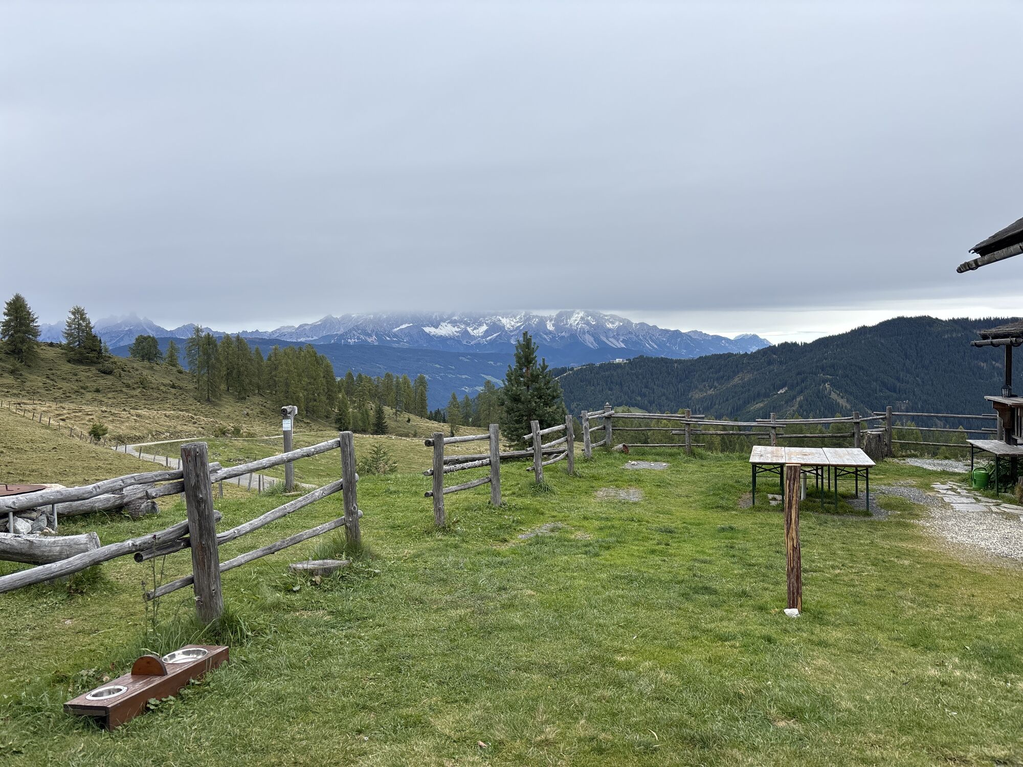
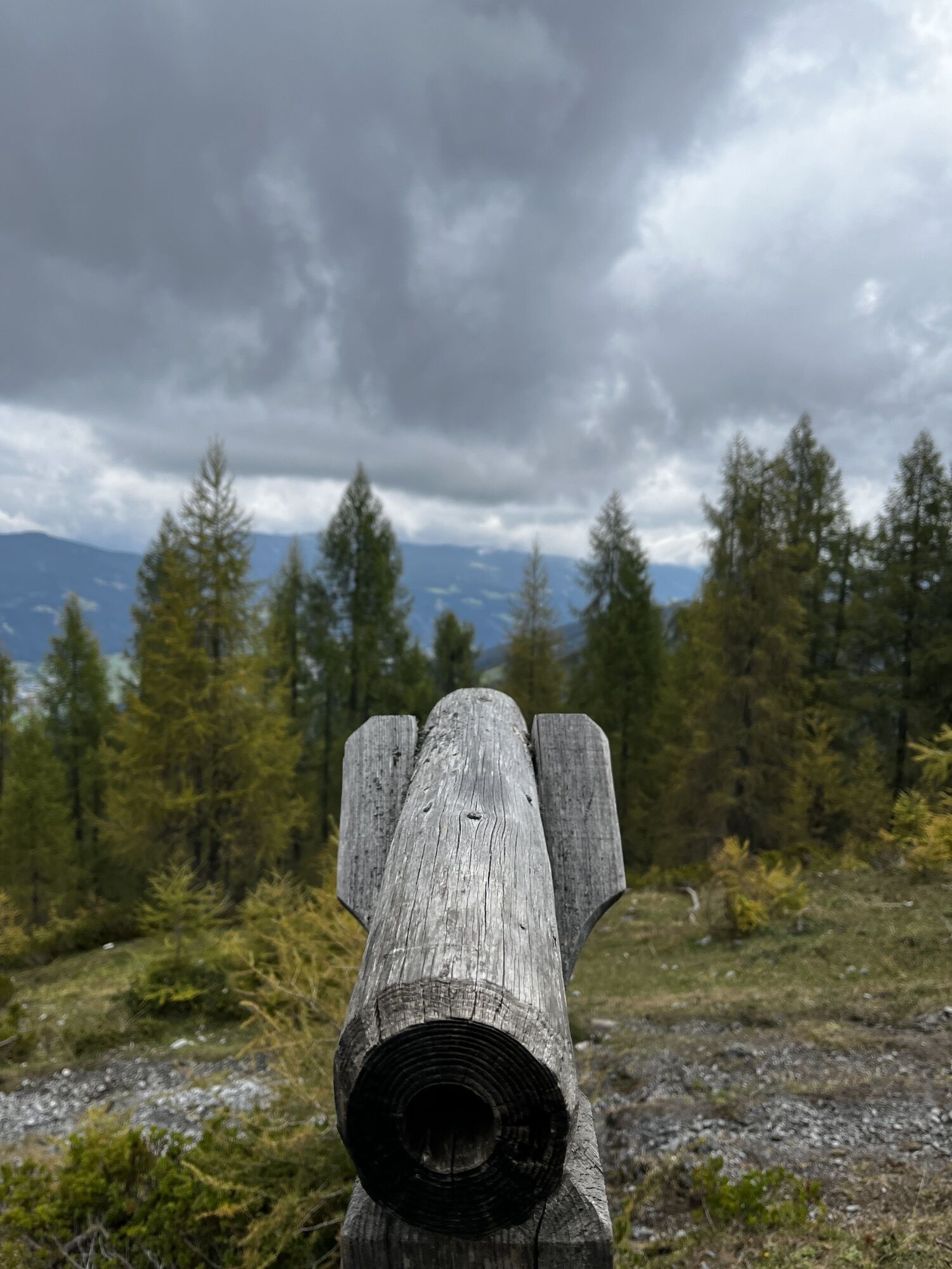


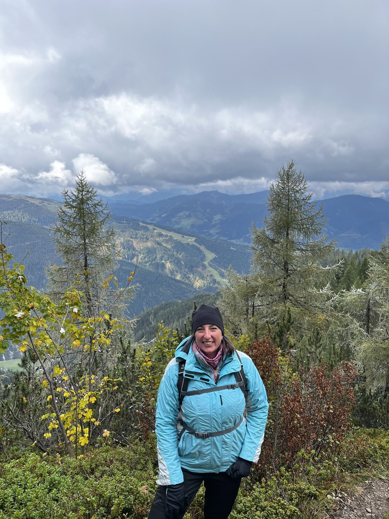
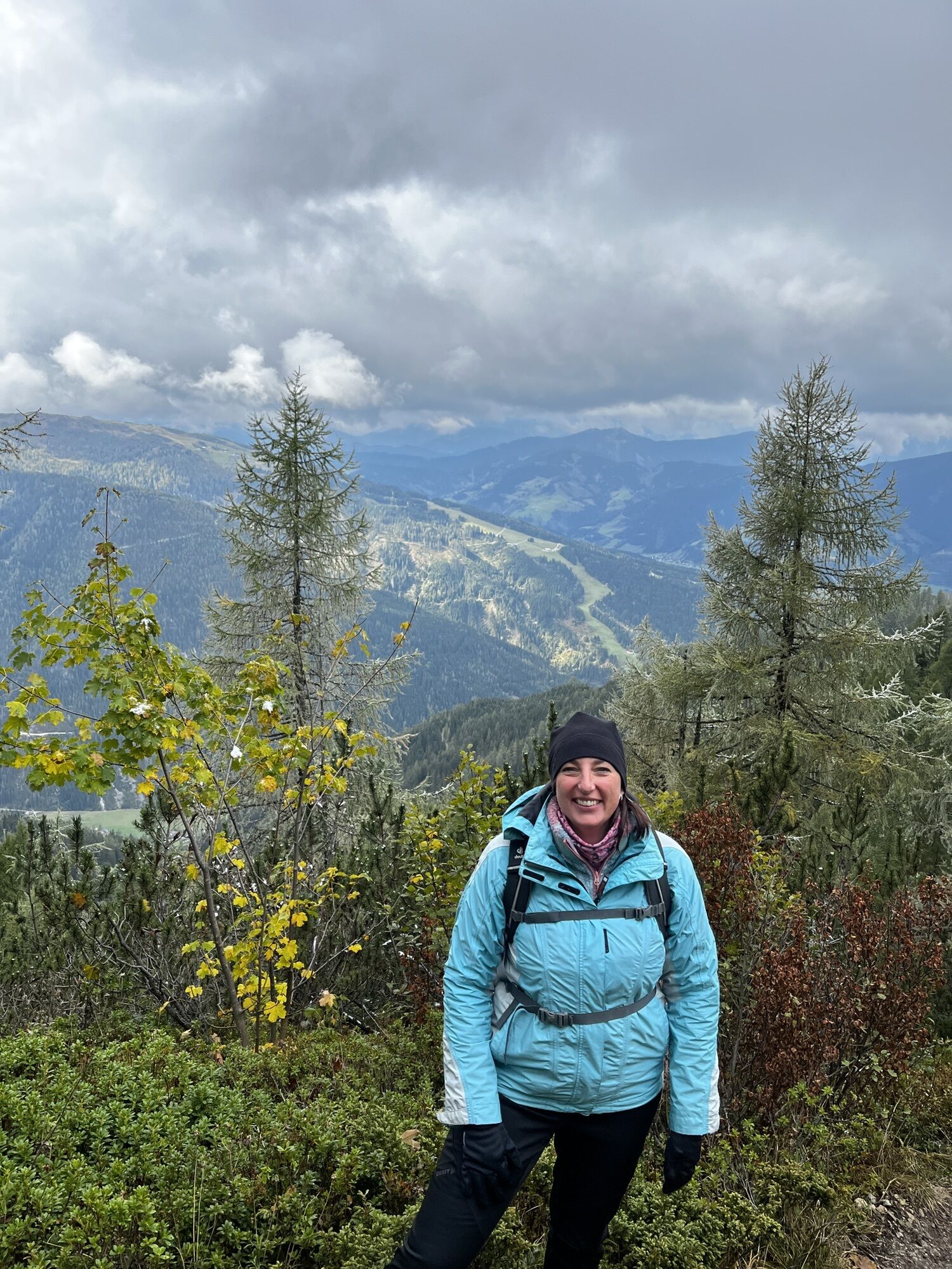
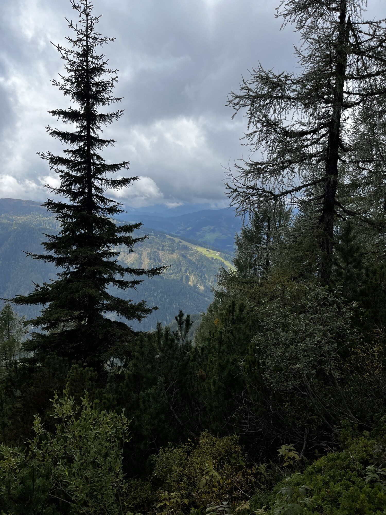

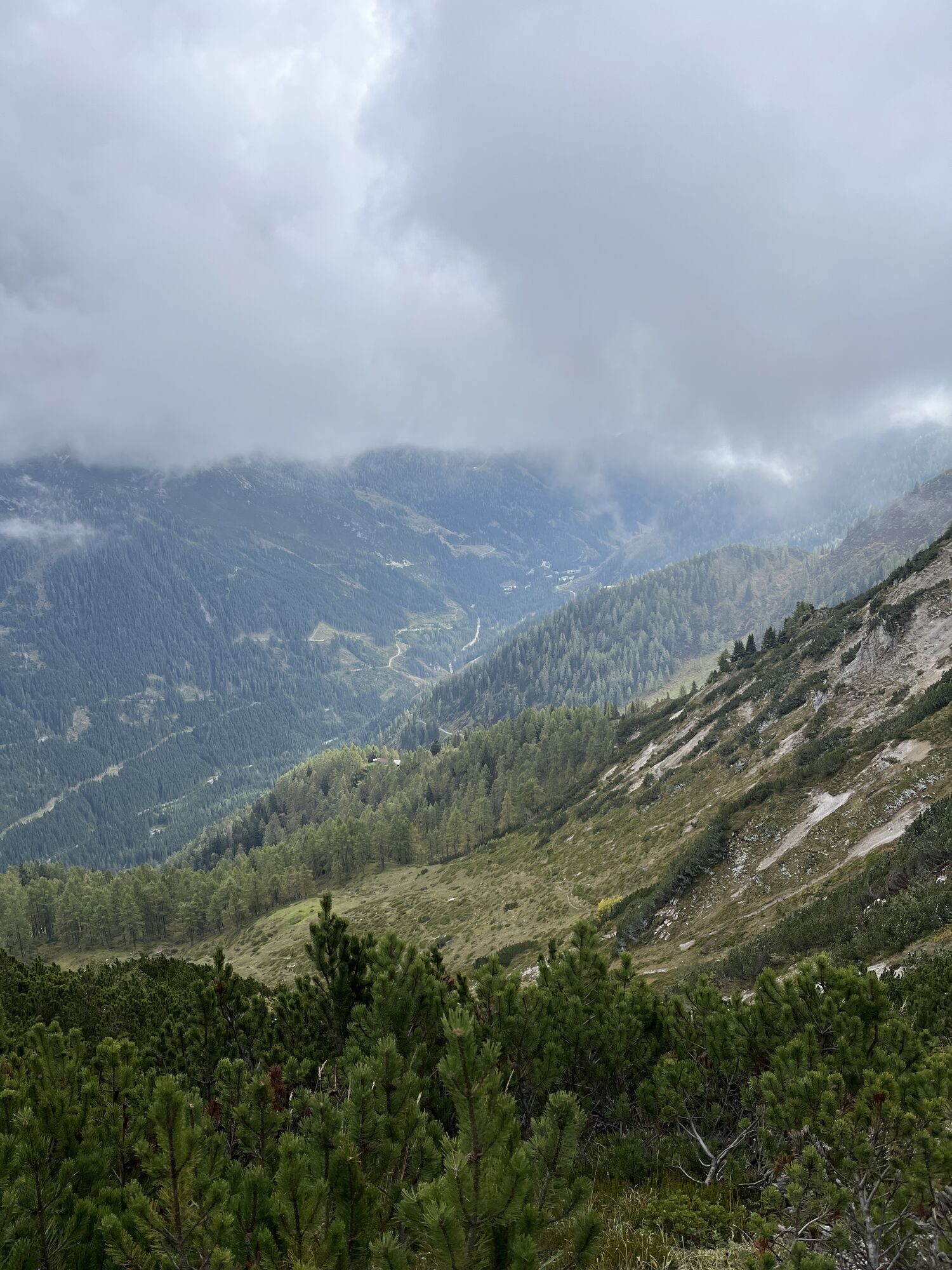


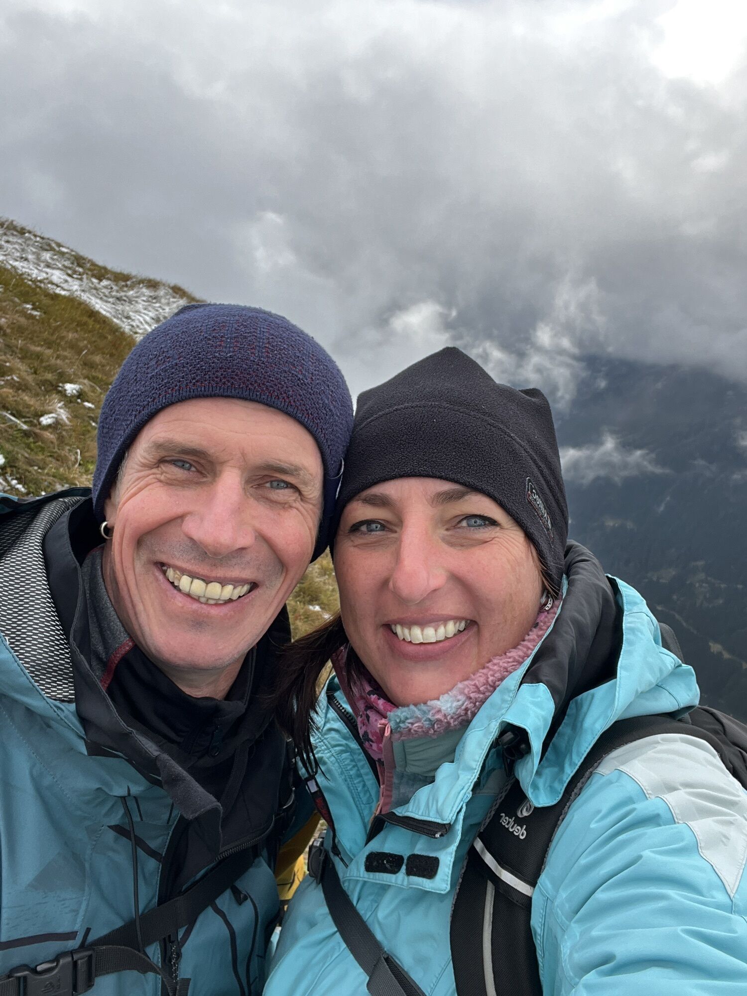
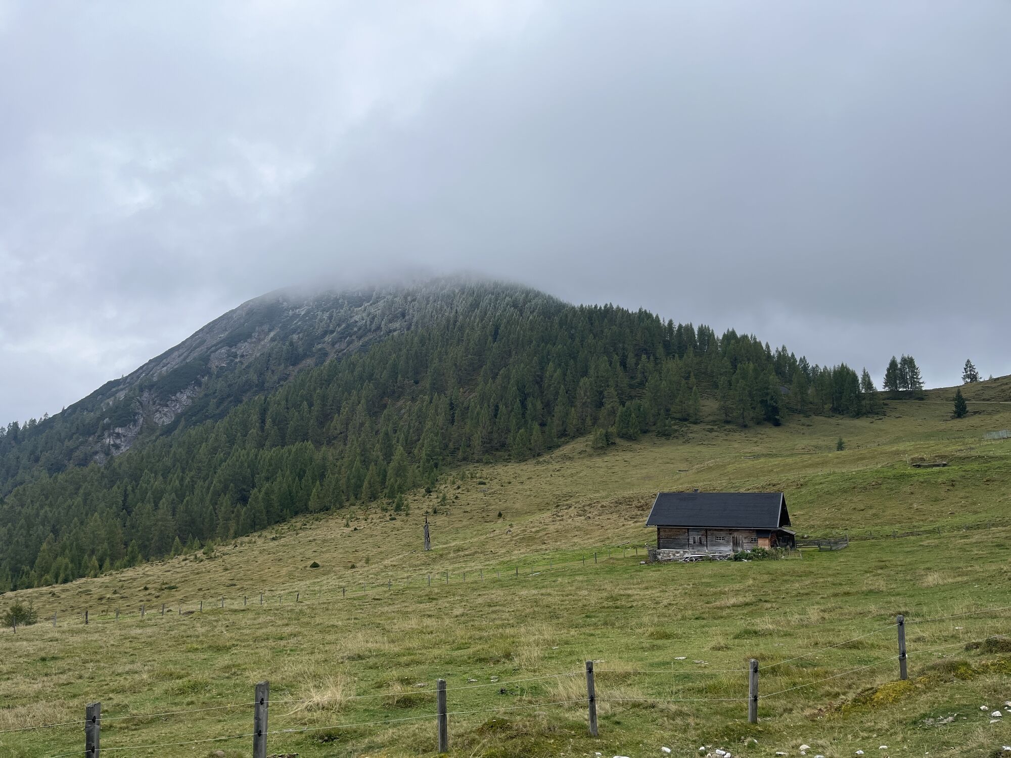


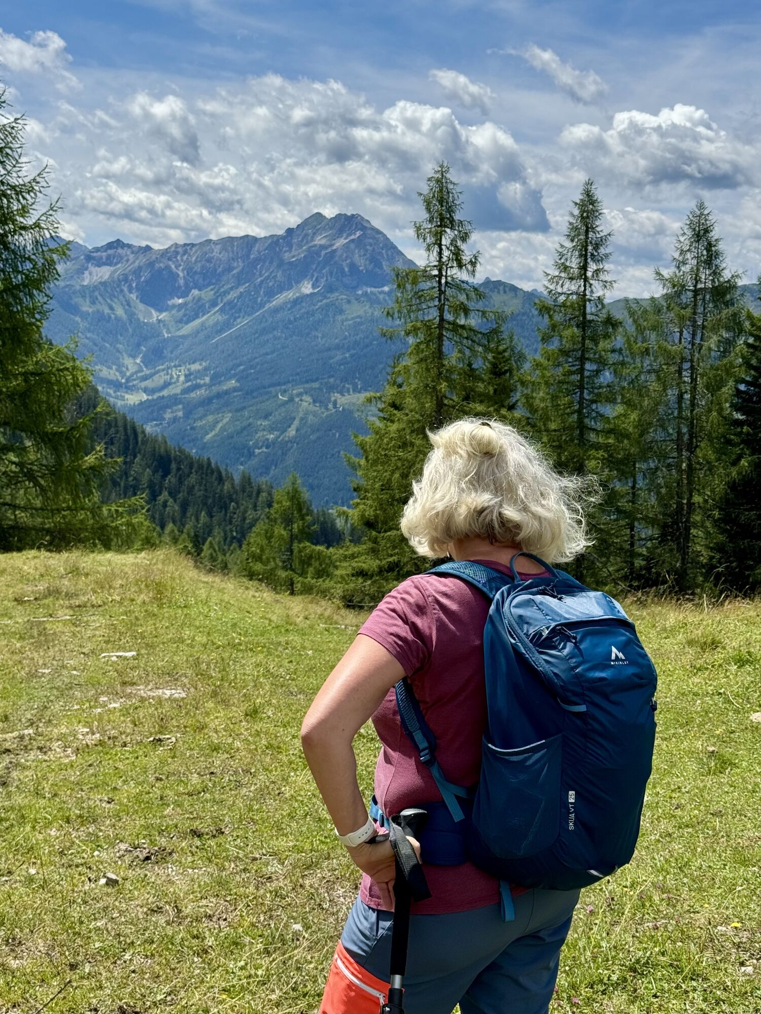

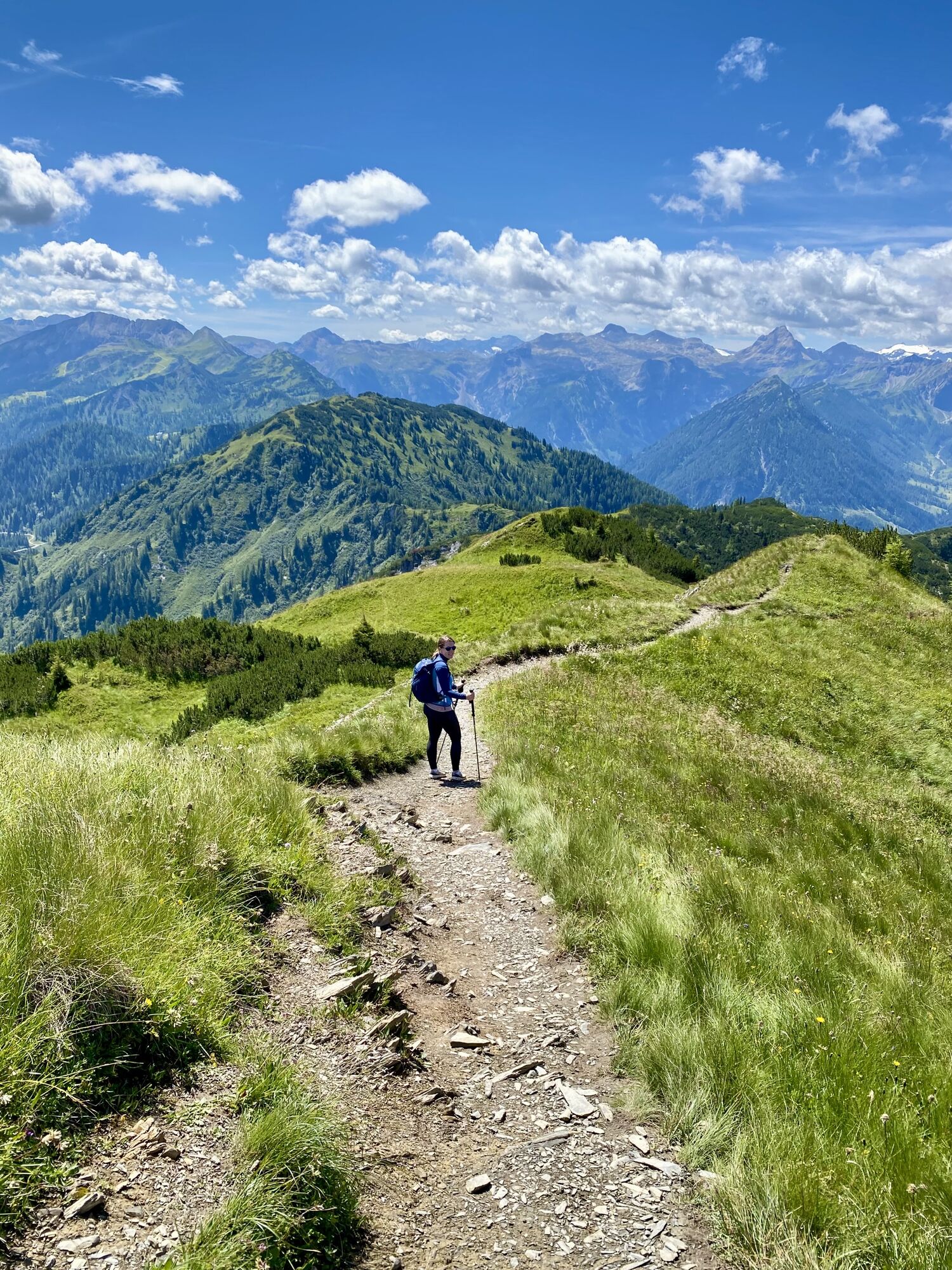
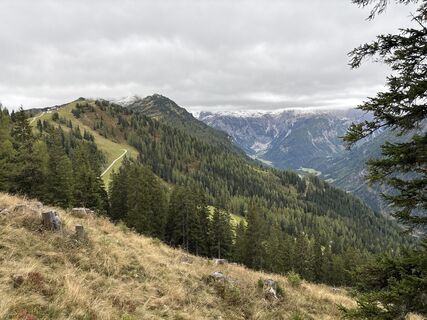
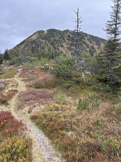
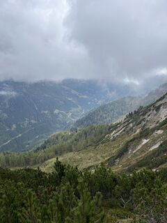
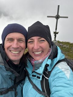
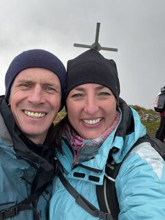
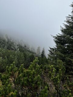
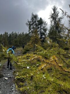
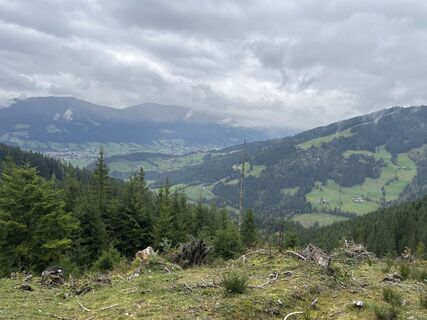
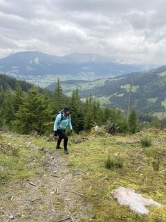
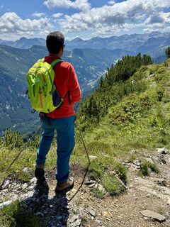
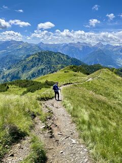
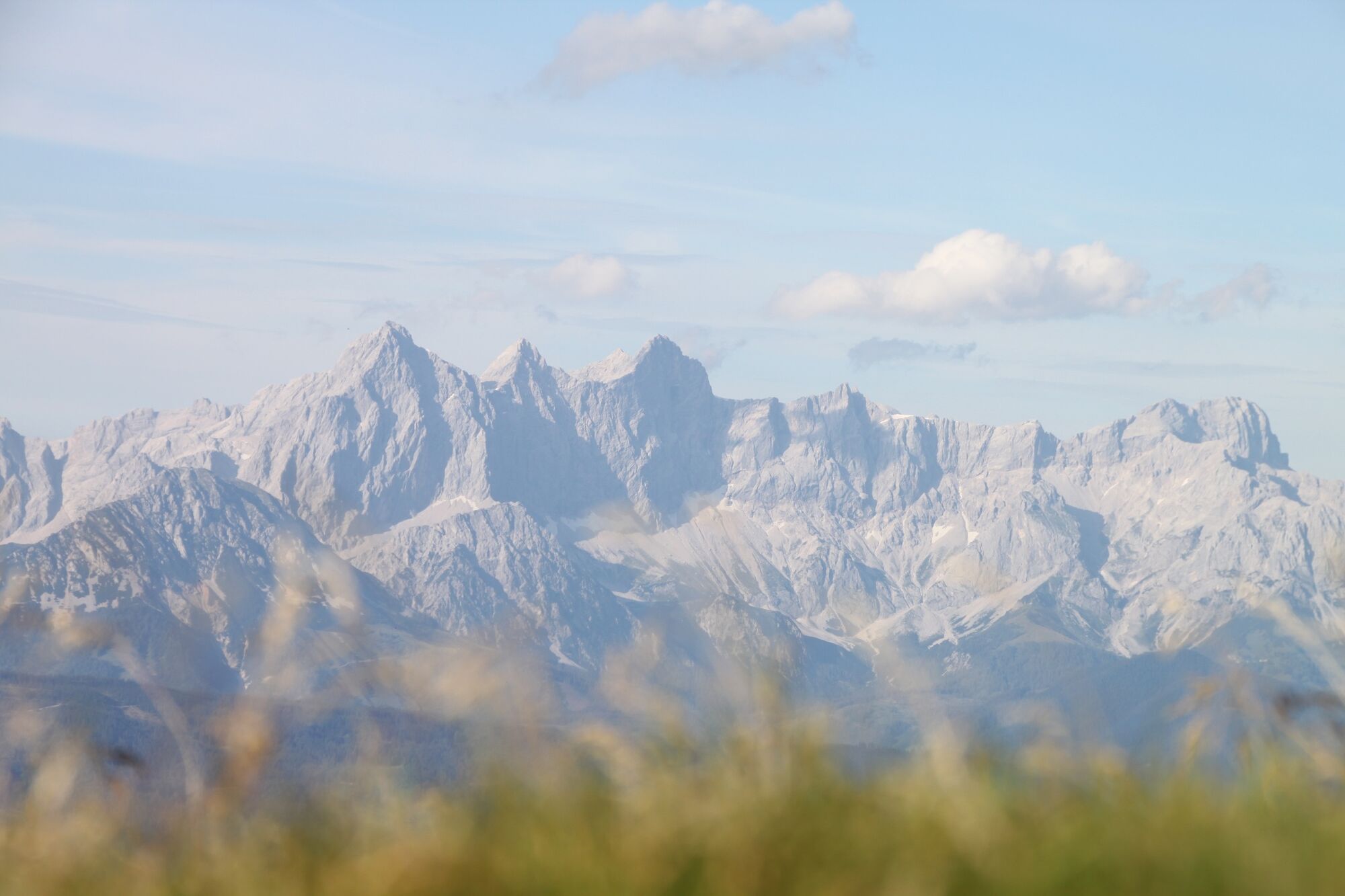
This challenging high-altitude tour takes you from Zauchensee to Flachau. You walk along the ridge and enjoy wonderful views of the Salzburg mountains from the peaks of Hirschköpfl, Rosskopf, Hinterkogel,...
This challenging high-altitude tour takes you from Zauchensee to Flachau. You walk along the ridge and enjoy wonderful views of the Salzburg mountains from the peaks of Hirschköpfl, Rosskopf, Hinterkogel, Vorderkogel and Lackenkogel.
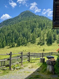
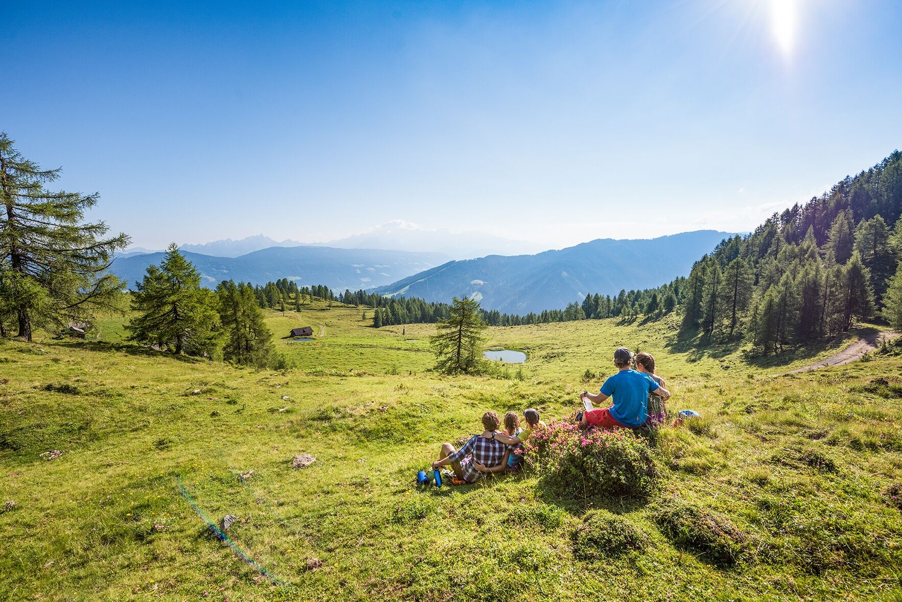
Possibility for lunch: Gamskogelhütte, Lackenalmen, Sattelbauer

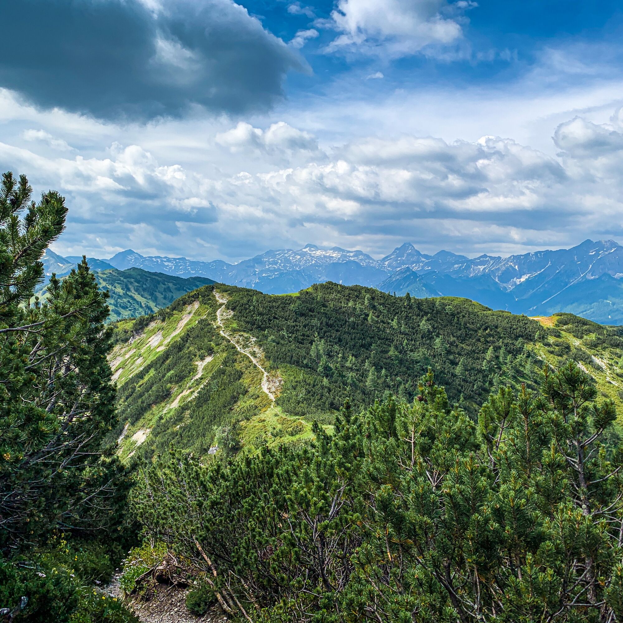
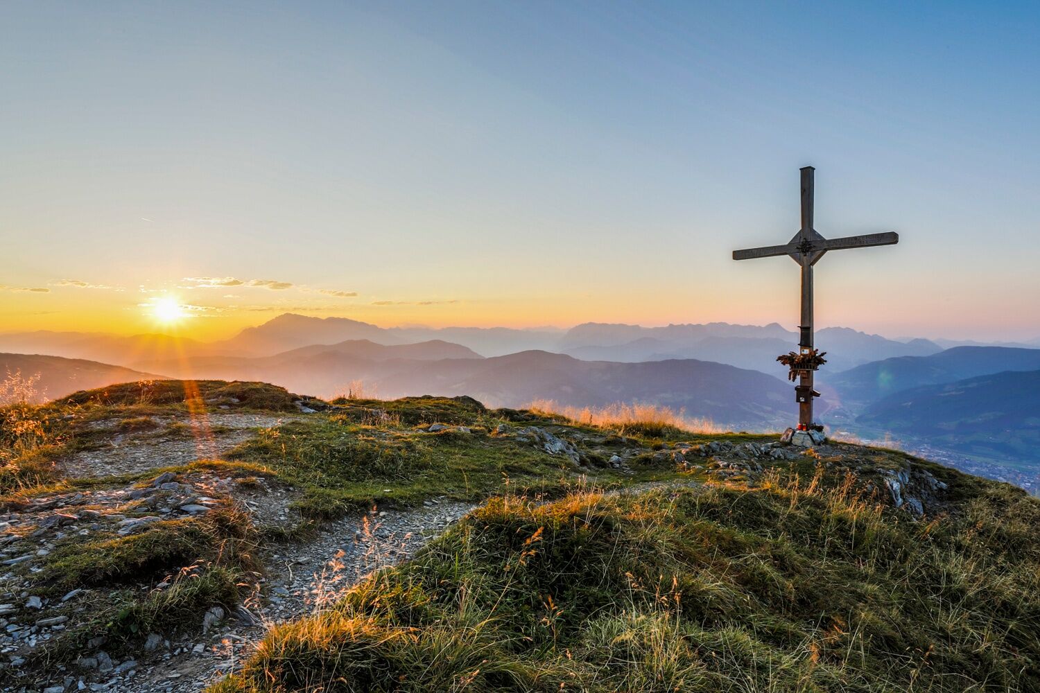

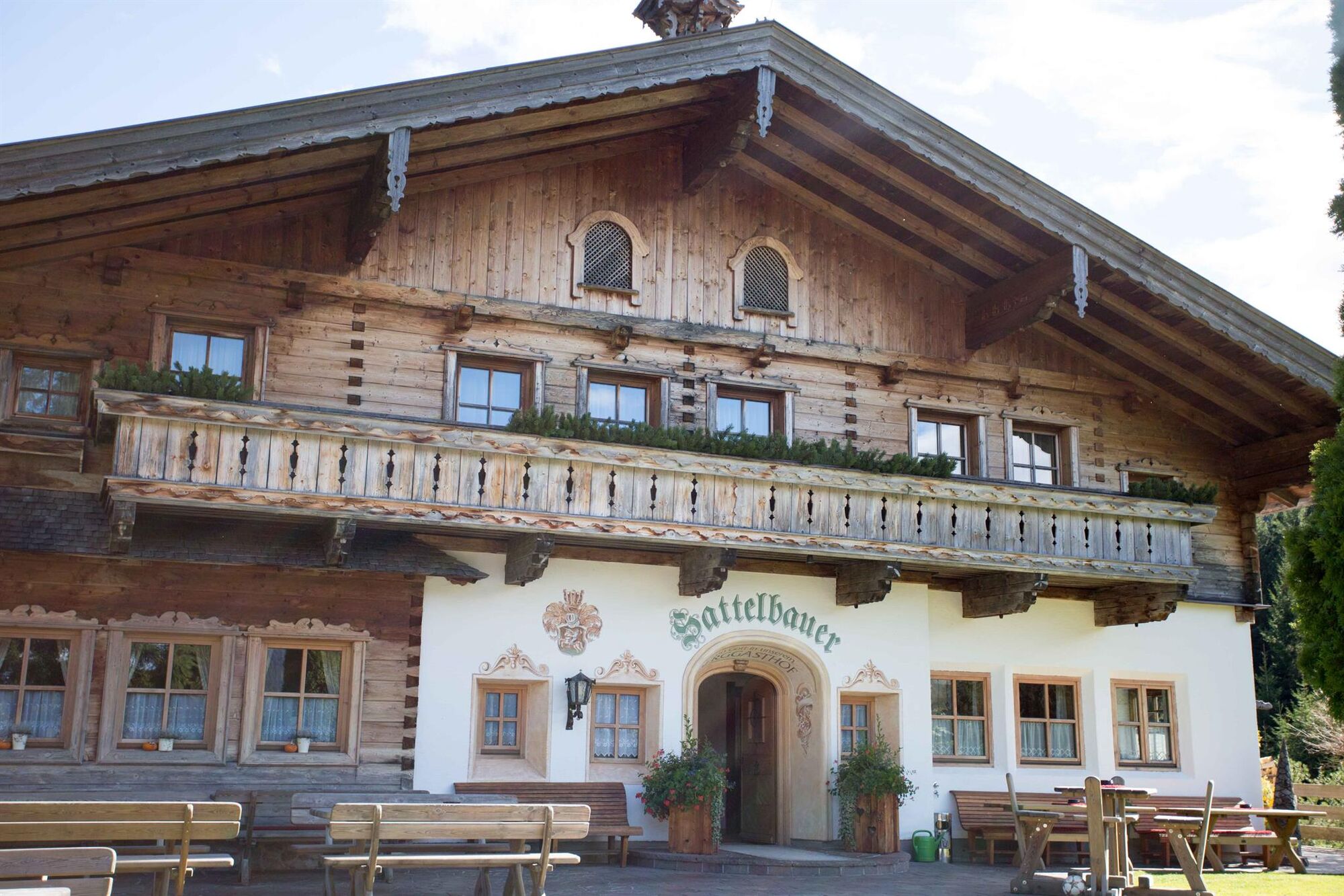
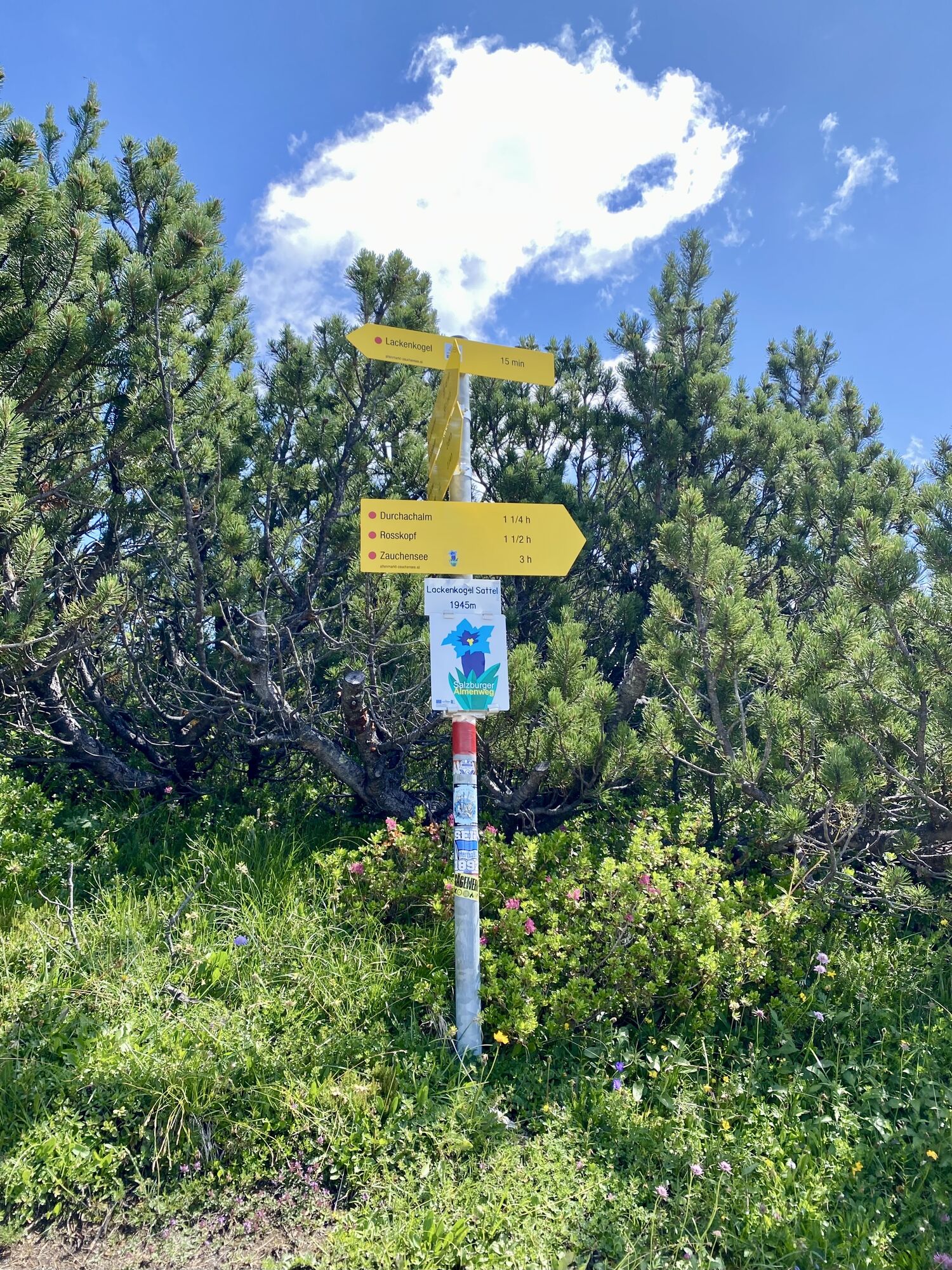
Zauchensee - going up with the lift Gamskogelbahn (take note of the opening time from the lift) - Gamskogelhütte - path Nr. 86 - Wurmkar path Nr. 73 - Hirschkopf (1971 m) - Rosskopf (1929 m) - Hinterkogel (1922 m) - Vorderkogel (2008 m) - Lackenkogel (2051 m) - Lackenalmen - Sattelbauer - descend to Flachau, path Nr. 32
Tip: From the Gamskogelhütte you can make a small detour to the Gamskogel (2186 m) - way Nr. 85
Sí
Sí
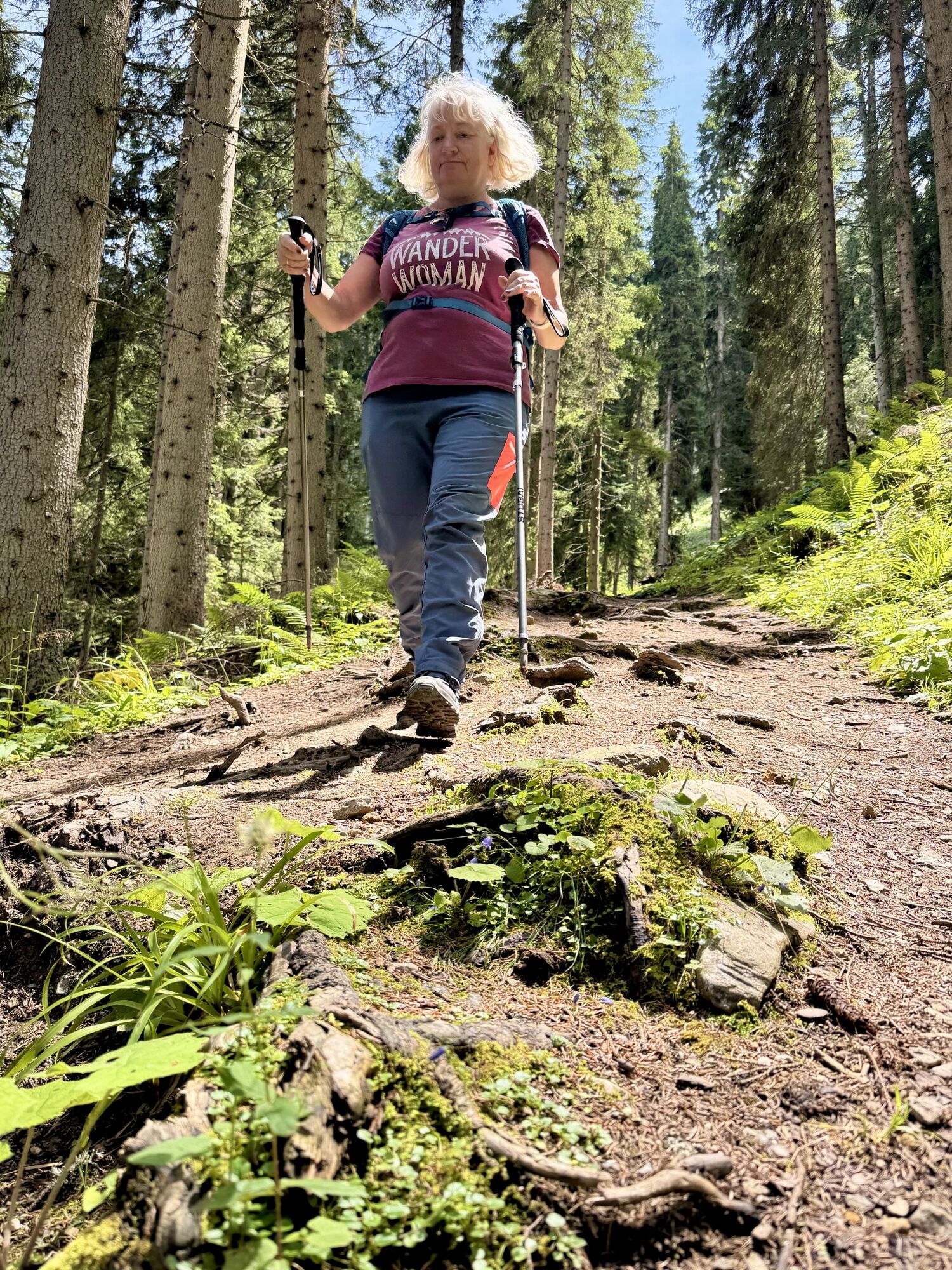
The basic equipment of a hiker includes:
sturdy, high shoes with a grippy sole
suitable mountain clothing
enough to drink
snacks for in-between
sunglasses, sunscreen or rain protection if necessary
mobile phone
walking sticks
First aid kit
Planning & preparation: Precise tour planning is recommended before every mountain tour. Information from local experts such as mountain guides or hut keepers as well as hiking maps will help you.
Check the weather forecast: A must-do before every hike. The weather can change unexpectedly in the mountains. Keep an eye on the current weather conditions at: www.zamg.ac.at.
Important tips:
Do not overestimate yourself Manage your strength and endurance well assess your surefootedness and head for heights Do not step on stones turn around in good time if the weather changes
Mountain rescue number: The telephone number 140 is the emergency number for alpine accidents in Austria.
From Flachau to Altenmarkt and from there in direction to Zauchensee. In Zauchensee going up with the lift "Gamskogelbahn".
From June to September, the Sportweltbus is the ideal shuttle service for your hiking tours in the entire region (Flachau, Wagrain-Kleinarl, St. Johann-Alpendorf, Radstadt, Altenmarkt-Zauchensee, Eben, Filzmoos, Obertauern, Großarl & Hüttschlag).
With the Flachau Summer Card you can use the Sportweltbus for only Euro 1,00 per person and route. Children under 6 years travel free!
More information at: https://www.flachau.com/en/more/information/sportweltbus.html
Further connections: www.salzburg-verkehr.at
parking space in Zauchensee
Summerlift operation: https://www.zauchensee.at/zauchensee-aktuell/news
For more information about trail running in Flachau, visit: https://www.flachau.com/sommer/wandern/ or inquire locally at the Info Center Flachau.
For local weather information, check: https://www.flachau.com/live/ or www.zamg.ac.at.
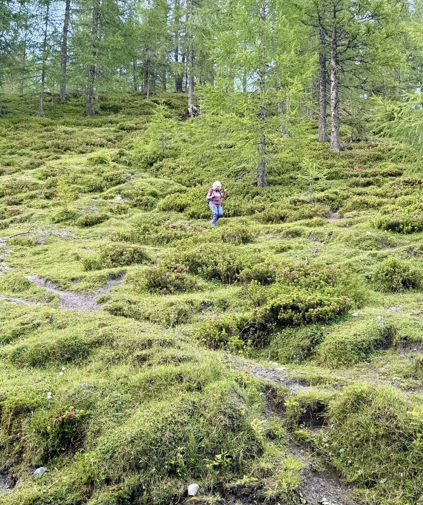
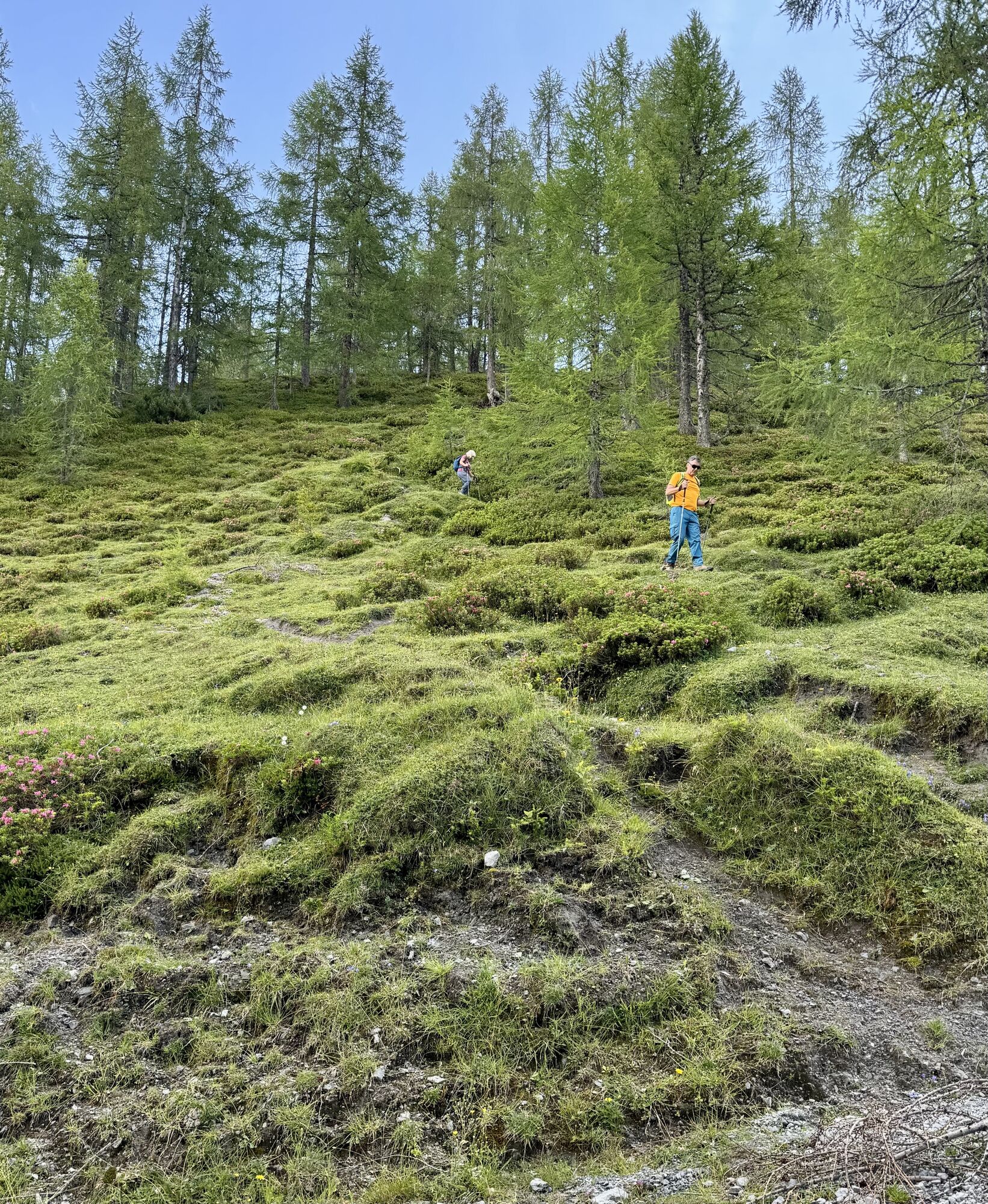
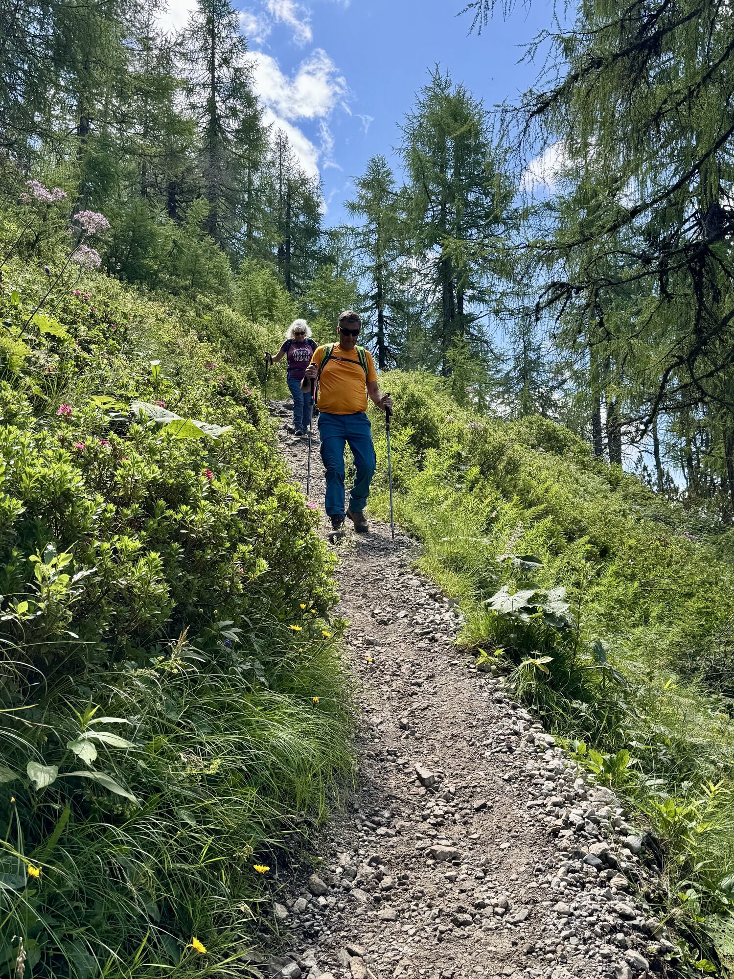
On this breathtaking hike, you can easily summit several peaks in one day, including Hirschköpfl, Rosskopf, Hinterkogel, Vorderkogel, and Lackenkogel.
Rutas populares en los alrededores
-
4,5
Mosermandl Windischscharte, Salzburger Land/Österreich
pesadoSenderismo 14,6 km -
4,1
Reiteralm Höhen-Rundweg
medioSenderismo 5,50 km -
4,8
Reiteralmrunde
luzSenderismo 5,71 km -
4,2
Ennskraxn (2410m)
pesadoSenderismo 14,7 km -
4,3
Glöcknerin
pesadoSenderismo 5,60 km -
5,0
Rundwanderweg von der Fallhausalm und Vögeialm übers Klamml zur Oberhütte am See
medioSenderismo 10 km -
4,7
Ruta de esquí Lackenkogel
medioEsquí de travesía 7,82 km -
4,1
Großarl: Unterwandalm - Karseggalm - Breitenebenalm
medioSenderismo 5,93 km -
5,0
Forstau - Rippetegg / Reiteralm
medioSenderismo 13,9 km -
4,4
Ruta de esquí Liebeseck
pesadoEsquí de travesía 14,1 km
Senderismo y rastreo


No se pierda las ofertas y la inspiración para sus próximas vacaciones
Su dirección de correo electrónico se ha añadido a la lista de correo.