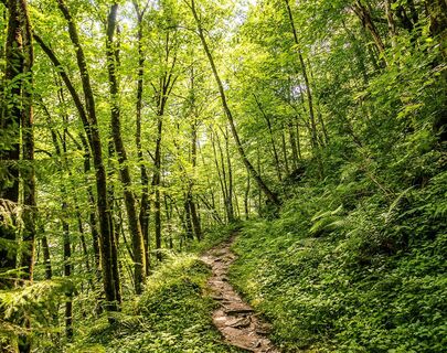
Path from Alpenhaus Kesselfall to Mooserboden
medio
Senderismo 5,0
Navegue por
Navegue por
Consigue este tour en tu móvil
Mapa
Path from Alpenhaus Kesselfall to Mooserboden
medio
Senderismo
8,52 km
Escanee el código QR e inicie la navegación en la aplicación bergfex
QR Code
Senderismo y rastreo

Path from Alpenhaus Kesselfall to Mooserboden

Distancia
8,52 km
Duración
04:00 h
Ascenso
1.001 m
Nivel del mar
1.033 - 2.034 m
Descarga de pistas
Mapa
Path from Alpenhaus Kesselfall to Mooserboden
medio
Senderismo
8,52 km

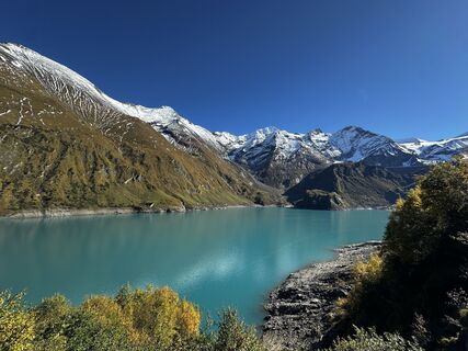
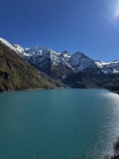
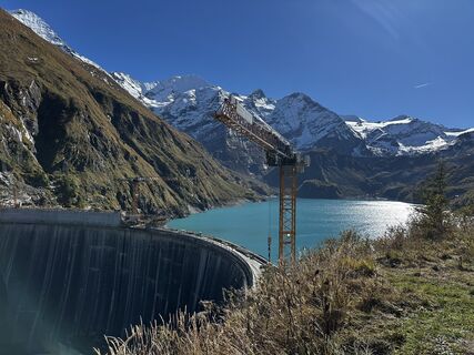
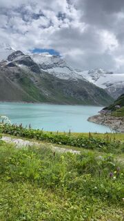
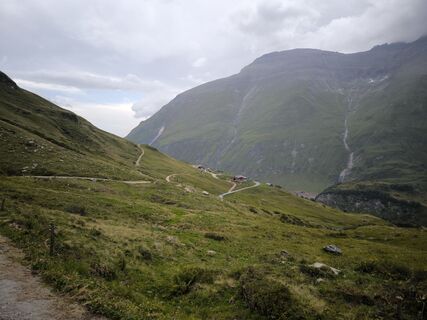
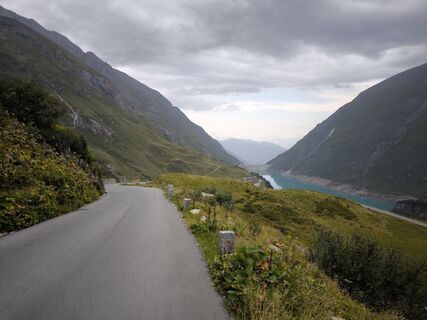
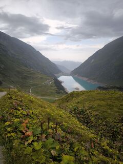
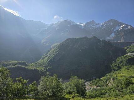
Demanding ascent with almost 1,000 vertical meters. In the end you will be rewarded with one of the most beautiful alpine landscapes. Eating and drinkind is possible at mountain restaurant Mooserboden...


Descripción de la

Demanding ascent with almost 1,000 vertical meters. In the end you will be rewarded with one of the most beautiful alpine landscapes. Eating and drinkind is possible at mountain restaurant Mooserboden or at the alm hut before.

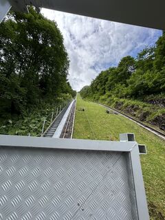
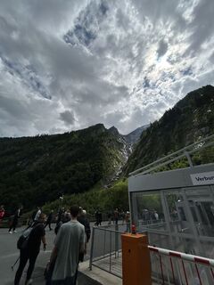
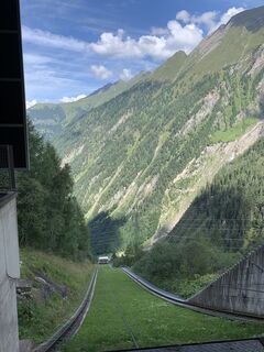
Back to the valley is the ride with buses and the largest open inclined lift in Europe possible.

Ruta
Kesselfall Alpenhaus
(1.034 m)
Refugio
0,0 km
Fürthermoaralm
(1.804 m)
Corredor/terreno
6,3 km
Fürthermoaralm/Ebmatten
(1.805 m)
Refugio
6,4 km
Bergrestaurant Mooserboden
(2.042 m)
Restaurante
8,5 km
Ruta
Mapa
Path from Alpenhaus Kesselfall to Mooserboden
medio
Senderismo
8,52 km
Kesselfall Alpenhaus
(1.034 m)
Refugio
0,0 km
Fürthermoaralm
(1.804 m)
Corredor/terreno
6,3 km
Fürthermoaralm/Ebmatten
(1.805 m)
Refugio
6,4 km
Bergrestaurant Mooserboden
(2.042 m)
Restaurante
8,5 km
Descripción de la

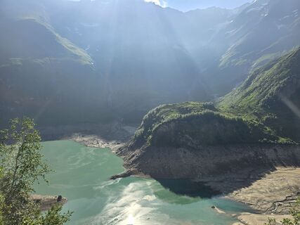
From Kesselfall to the Kaprun high mountain reservoirs

Tecnología
n.d.
Condición
3 / 6
Paisaje
n.d.
Experiencia
n.d.
La mejor época del año
Ene
Feb
Mar
Abr
May
Jun
Jul
Ago
Sep
Oct
Nov
Dic
Autor
Proporcionado por TVB Zell am See
Logo
Compartir gira
Mapa
Path from Alpenhaus Kesselfall to Mooserboden
medio
Senderismo
8,52 km
Error
Se ha producido un error. Por favor, inténtelo de nuevo.
Último seguimiento hace una semana
Información sobre la ruta
Ruta

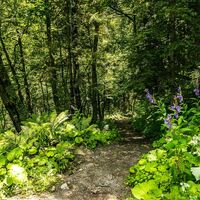
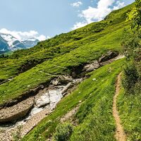
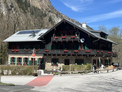
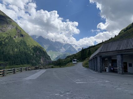
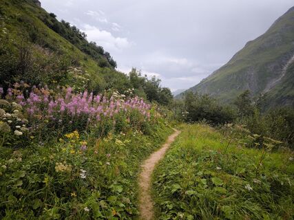
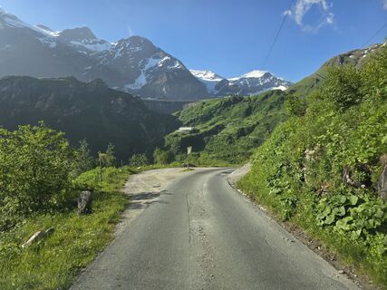
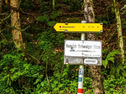
From Kesselfall Alpenhaus, cross the bridge and follow the road for about 50 metres before turning left onto trail no. 31.

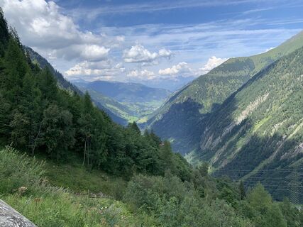
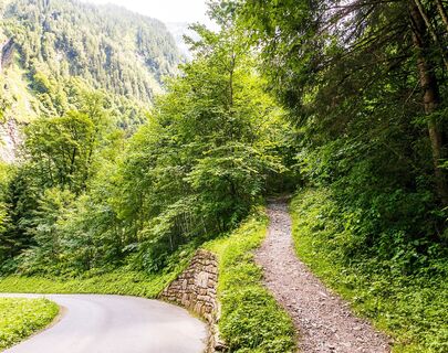
After a short ascent, this beautiful forest trail leads to the old mountain road. From there, the route runs to the valley station of the Lärchwand inclined lift.

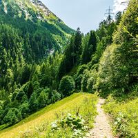
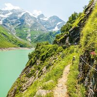
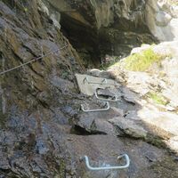
From now on, surefootedness and a head for heights are required as one section of the trail is slightly exposed in places. Alternatively: continue by bus.

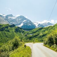
Hikers follow the road here until a trail branches off to the left just before the first tunnel, which leads to the crown of the Limberg Dam.

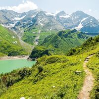
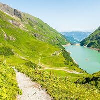
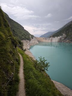
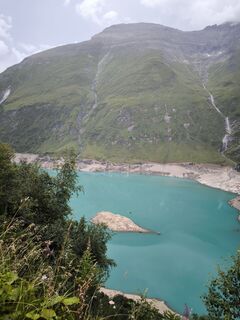
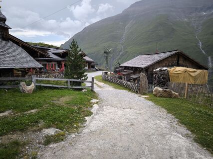
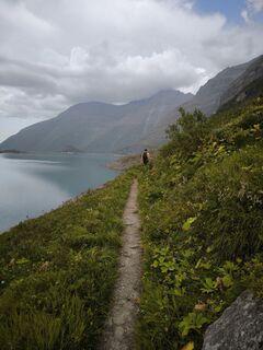
After approx. 100 metres of road, a trail leads along the west side of the Limberg reservoir to the Fürthermoaralm.

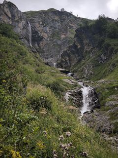
From the Alm, the trail becomes an educational "herb trail", ending at Mooserboden.

Equipamiento

Due to long-lying snowfields in the trenches, the trail is usually only accessible from the beginning of July!

To be sure of step and a good head for heights is important!

sturdy shoes, rain or wind protection

trekking poles are recomendet

Información de llegada
Llegada

Information for individual arrival

Transporte público

from Zell am See with the bus line 660 to (last stop in Kaprun) Kesselfall

Aparcamiento

free parking in the parking garage Kesselfall

Información adicional y consejos
Consejos

start early enough so that you have enough time to explore the high mountain reservoirs.

Valoraciones
5,0
5
(2)
4
(0)
3
(0)
2
(0)
1
(0)
5
(2)
4
(0)
3
(0)
2
(0)
1
(0)
Escriba un comentario

Las opiniones ayudan a otros usuarios a elegir su próxima aventura. Por favor, valora solo el tour, no el tiempo o tu aperitivo.

Seleccione una de las estrellas para puntuar el recorrido
Mal tour
Gira débil
Visita mediocre
Buena visita
Excelente recorrido
bergfex logo Infórmate Siempre en directo con más de 9.500 webcams. bergfex Como usuario Pro, ahora puede ver las webcams correspondientes a muchos tours en la app de tours desde. Esto le permite ver las condiciones actuales directamente.
Senderismo y rastreo

Senderismo y rastreo

Senderismo y rastreo
Más de 550.000 sugerencias de excursiones, mapas detallados y un intuitivo planificador de rutas hacen de esta aplicación una herramienta imprescindible para todos los amantes de la naturaleza.
Senderismo y rastreo