


Trail runnung: HOCHPRACKRUNDE via Naglköpfl Niedernsill


Fotos de nuestros usuarios
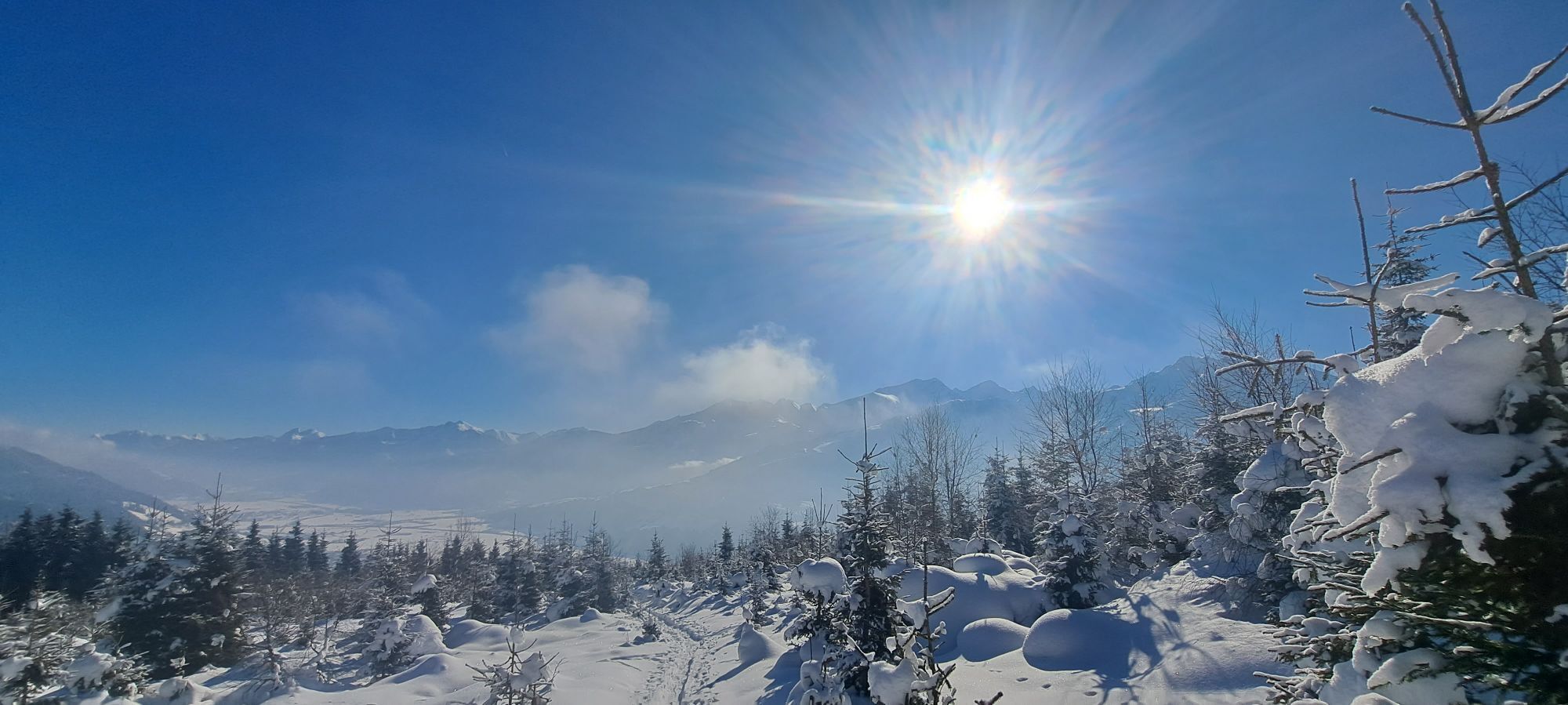
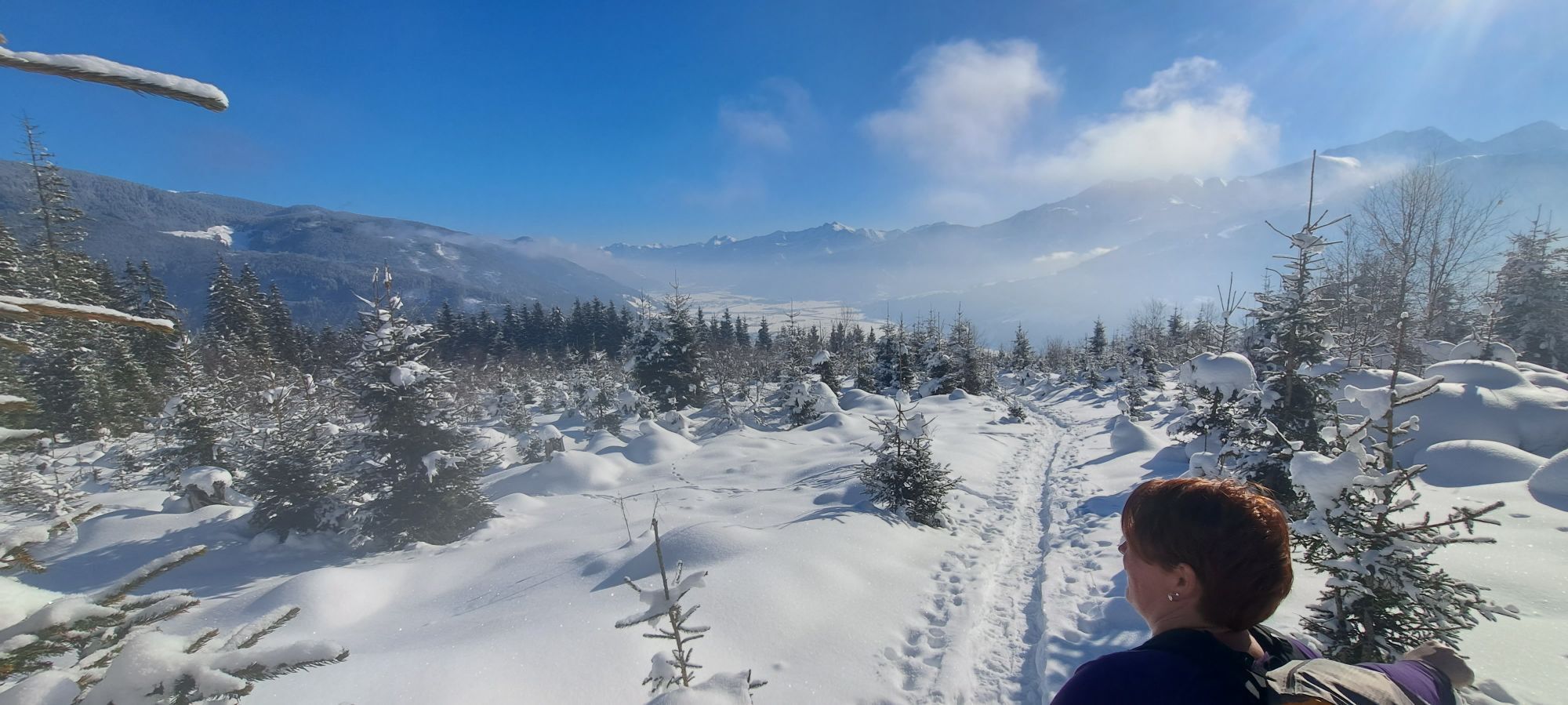
The Hochprackrunde is a longer run that starts with a 6 km ascent. It then descends to the Naglköpfl and back to Niedernsill via the the Naglköpflweg trail.

From the car park in Steindorf follow the asphalt road via Gaisbichl to Hochprack. From the barrier follow the forest road, straight on at the fork and past the Röderlehen farm to the Naglbauer farm. Turn right here and return to the starting point via the Naglköpflweg trail and the Ematberg.
Trail running shoes, light & breathable clothing, wind/rain jacket, backpack or running waistcoat, poles, drink (water, energy drink), food (energy bars, fruits, gels), headlamp (recommended), sun protection, first aid kit (emergency blanket, blister plaster, …), mobile phone, map
We hope that the snacks and drinks you take with you on your route will give you the strength to carry back the packaging material and empty cans and bottles.
The running, walking, ... off the marked routes/paths is strictly forbidden.
We kindly ask you to observe the Fair Play & Rules of Conduct!
Fairness and respect for each other are the basis for a common togetherness and the protection of the different interests in the nature area!
Car park available.
Start slowly and warm up to prepare your body for uneven terrain. Run at your own pace and don't overdo it.
Rutas populares en los alrededores
-
4,7
Tristkogel
pesadoSenderismo 15,6 km -
4,5
Sigmund Thun Klamm
luzSenderismo 3,10 km -
4,7
Fusch: Gleiwitzer Hütte
pesadoSenderismo 8,26 km -
4,8
Sigmund Thun Klamm, Klammsee, Bürgkogel
luzSenderismo 4,56 km -
4,2
Spielbergalmen
medioSenderismo 10 km -
5,0
Manlitzkogel
pesadoSenderismo 13,4 km -
4,2
Sendero de altura Saalachtaler ESTE (Asitz - Biberg)
medioSenderismo 13,1 km -
4,4
Thumersbach, Runde um den Zeller See
luzSenderismo 13,3 km -
3,3
Hinterglemm: Talschluß-Höhenweg
luzSenderismo 10,8 km -
4,3
Schattberg Summit Round
medioSenderismo 3,17 km
Senderismo y rastreo


No se pierda las ofertas y la inspiración para sus próximas vacaciones
Su dirección de correo electrónico se ha añadido a la lista de correo.