


Snowshoe hiking Tiergartenalm


Fotos de nuestros usuarios
-

 © Heinz SperlCreado el 04.04.2025
 -
 © Heinz SperlCreado el 28.03.2025
 -
 © Heinz SperlCreado el 17.12.2024
 -
 © Heinz SperlCreado el 19.04.2024
 -
 © feinschmeckerontourCreado el 10.07.2024
 -
 © feinschmeckerontourCreado el 10.07.2024
 -
 © feinschmeckerontourCreado el 10.07.2024
 -
 © feinschmeckerontourCreado el 10.07.2024
 -
 © feinschmeckerontourCreado el 10.07.2024
 -
 © feinschmeckerontourCreado el 10.07.2024
 -
 © feinschmeckerontourCreado el 10.07.2024
 -
 © SonjaCreado el 01.10.2025
 -
 © SonjaCreado el 01.10.2025
 -
 © SonjaCreado el 01.10.2025
 -
 © SonjaCreado el 01.10.2025
 -
 © SonjaCreado el 01.10.2025

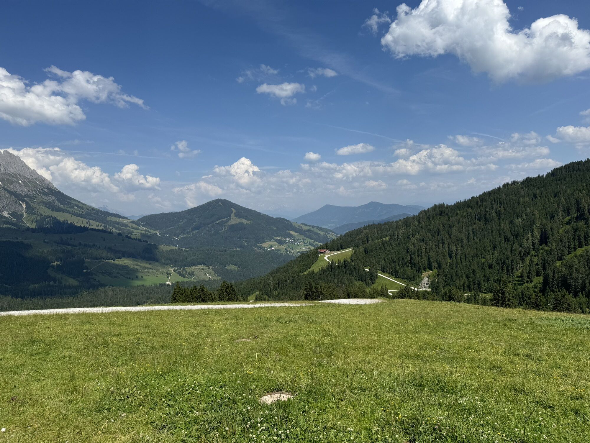


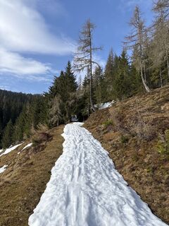
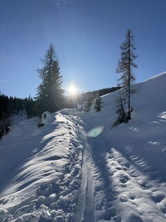
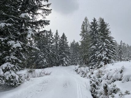
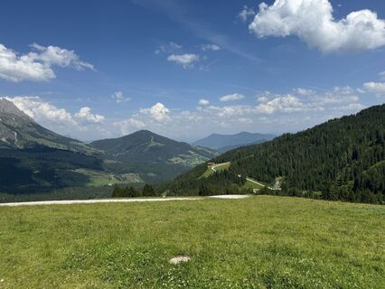
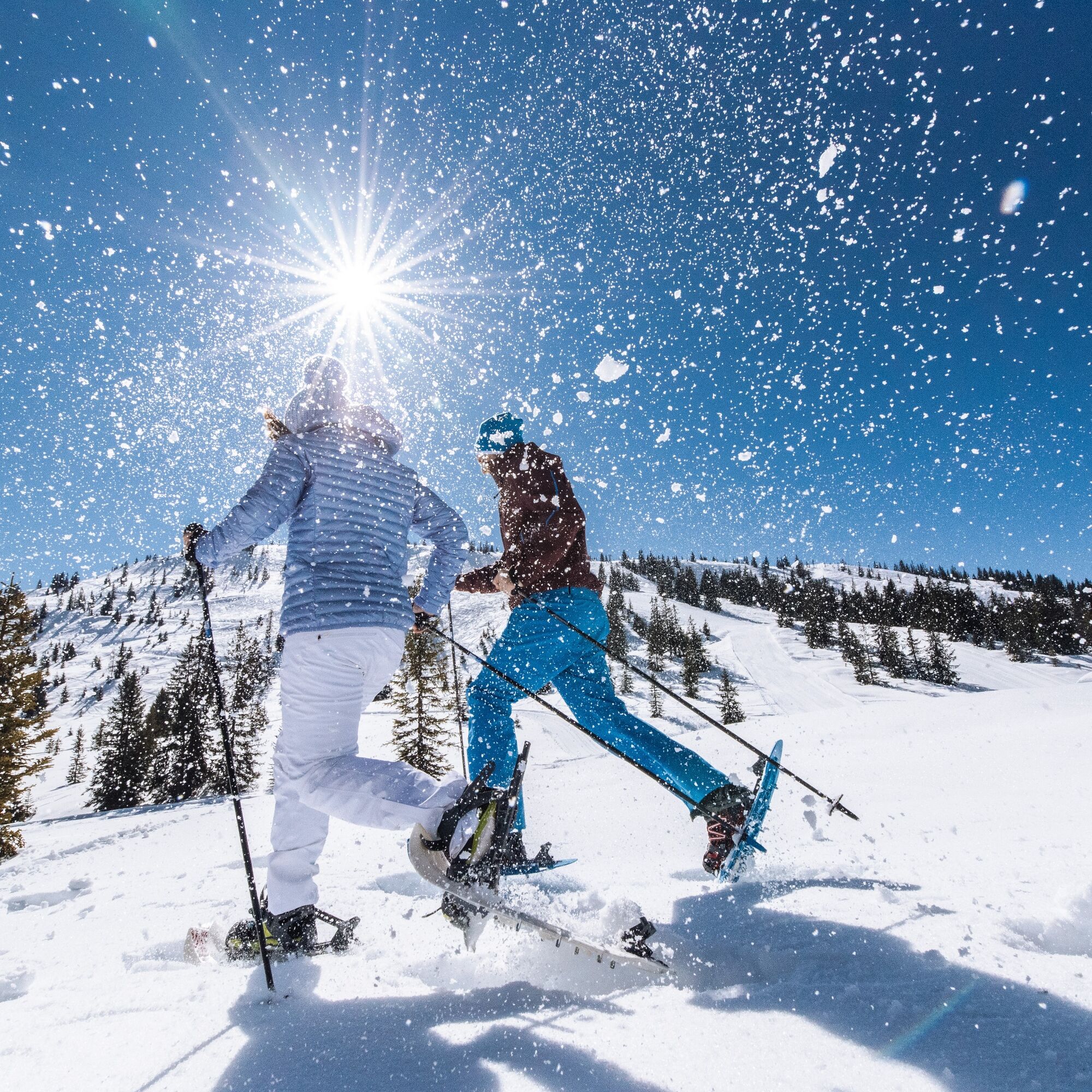
If you want to enjoy nature and your peace and quiet, you should add this snowshoe hike to your to-do list. Look forward to a hardly strenuous and beautiful hike through the woods of Mühlbach.


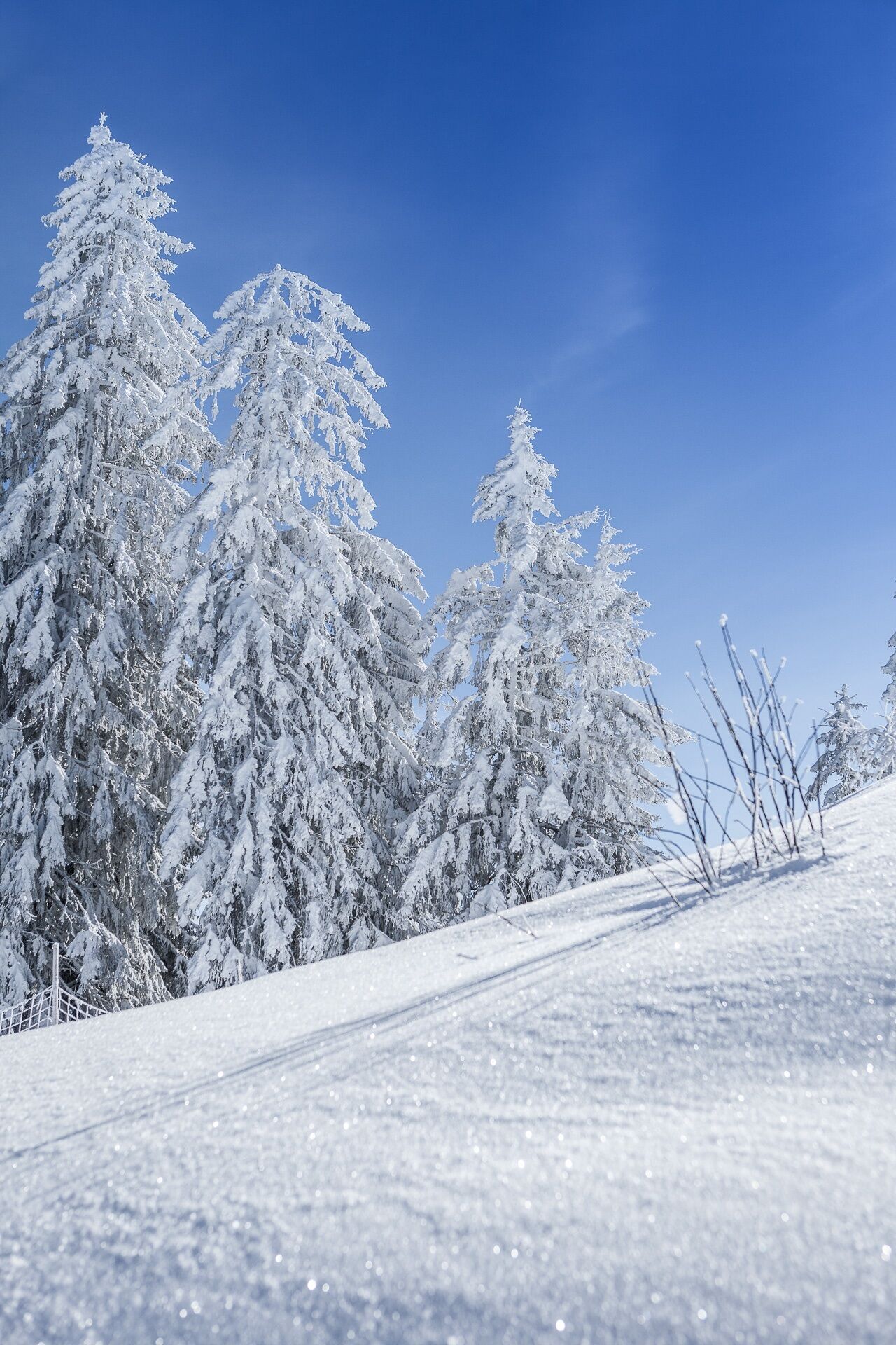
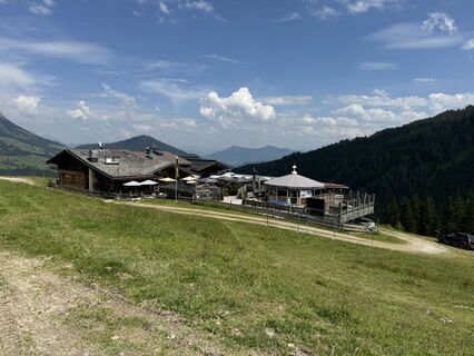
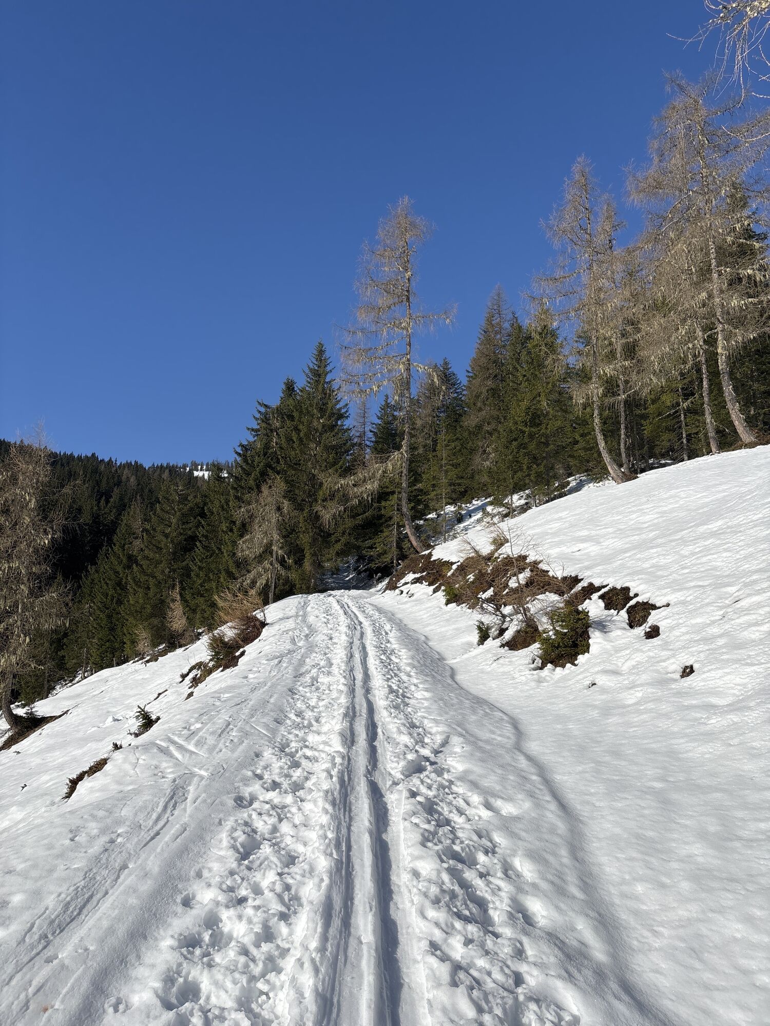
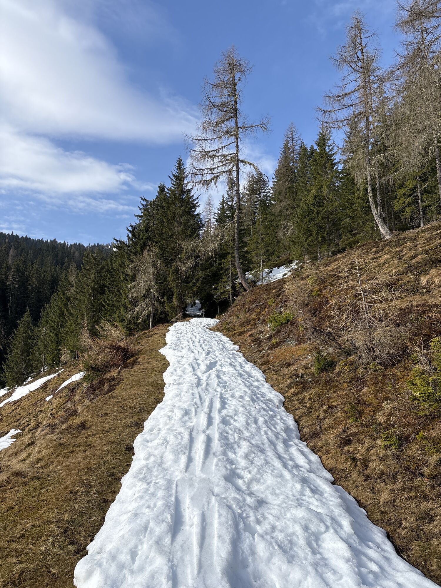
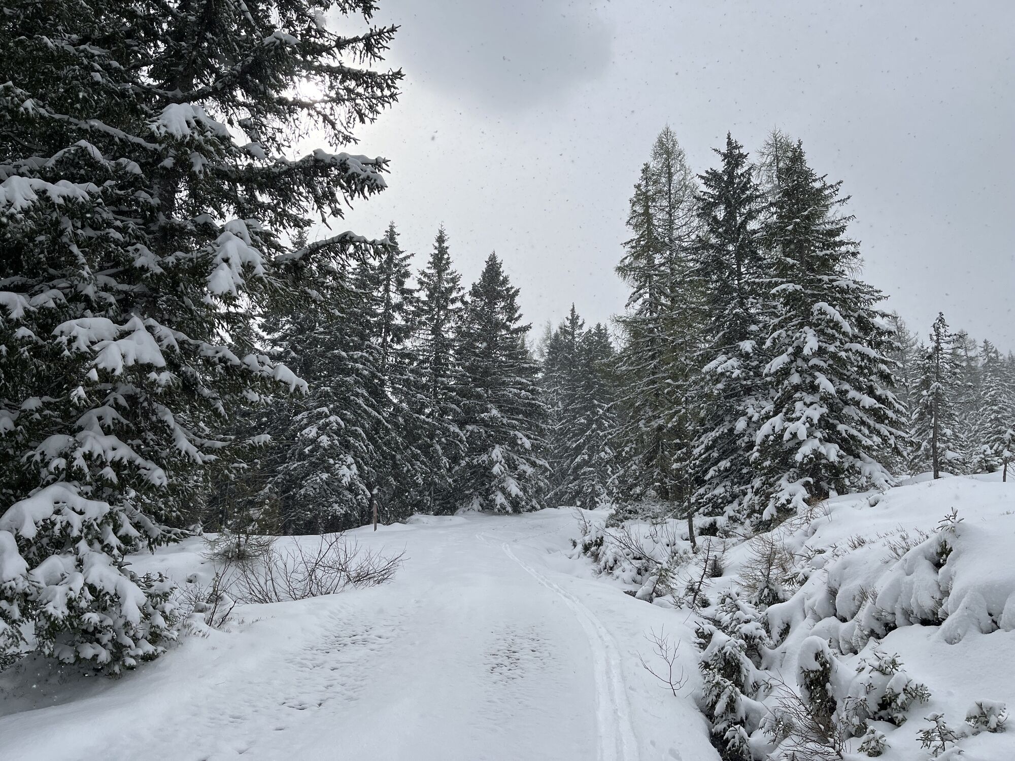
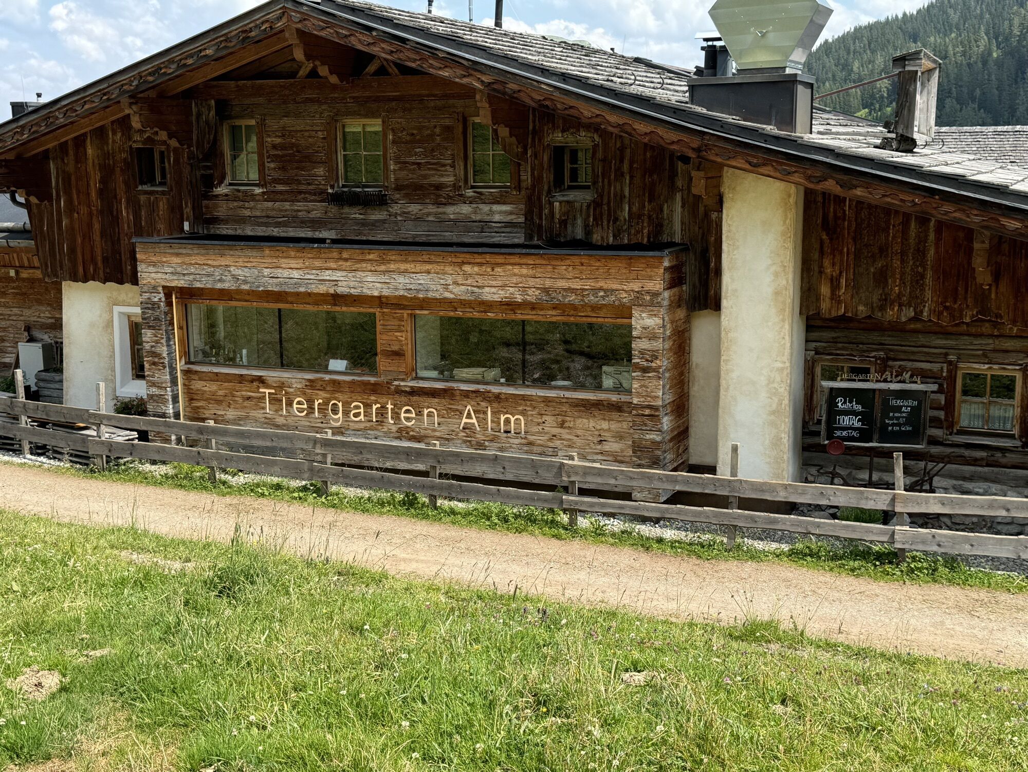
We start our leisurely snowshoe hike at the car park at Dientner Sattel. From there we walk down to the Dientalm and continue straight on along the forest path towards the Tiergartenalm. The path leads through the forest. In some places the path gets a little steeper, but it is also suitable for inexperienced hikers. We follow the path until we arrive below the Kings Cab cable car. From here we follow the slope uphill at the outermost edge of the slope to avoid disturbing the skiers. Be careful! After about 200 m we have to cross the slope to reach the Tiergartenalm. The way back is the same as the ascent through the forest.
Solid - Waterproof footwear
Ski pants
Drinking bottle
adjustable poles
Sunglasses
Mobile phone
.....
Emergency call: 140
Alpine Emergencies throughout Austria: 144
Euro emergency call: 112 (works with any mobile/network)
Arriving from Salzburg: Take the A10 motorway to the Bischofshofen exit, then take the B311 in the direction of Bischofshofen. Follow the Hochkönig federal road/B164 to Dienten.
Coming from Innsbruck/ Kufstein: On the Loferer Straße/B178 towards St. Johann i.T., then on the Hochkönig Bundesstraße/B164 via Saalfelden and Maria Alm to Dienten.
By train you can enjoy your holiday from the very beginning. No traffic jams will stop you from getting to the Hochkönig region!
You can book your train connection at www.oebb.at.
Dientner Sattel car park
Hochkönig Tourismus GmbH
Am Gemeindeplatz 7
5761 Maria Alm
Tel. +43 6584 20388
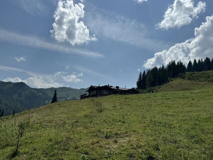
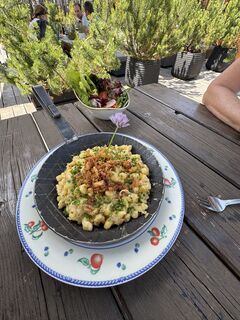
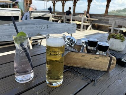
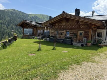
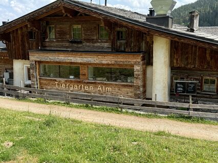
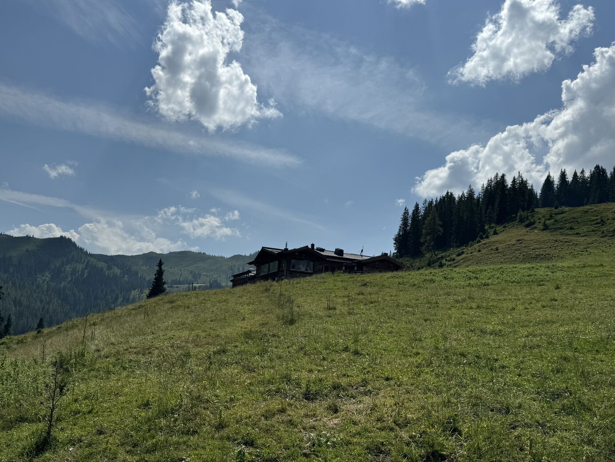
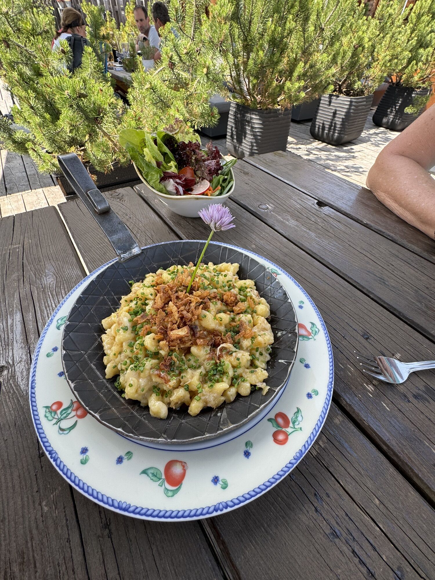
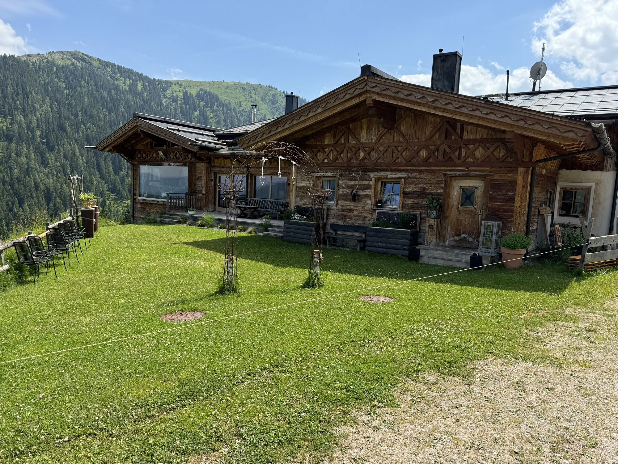
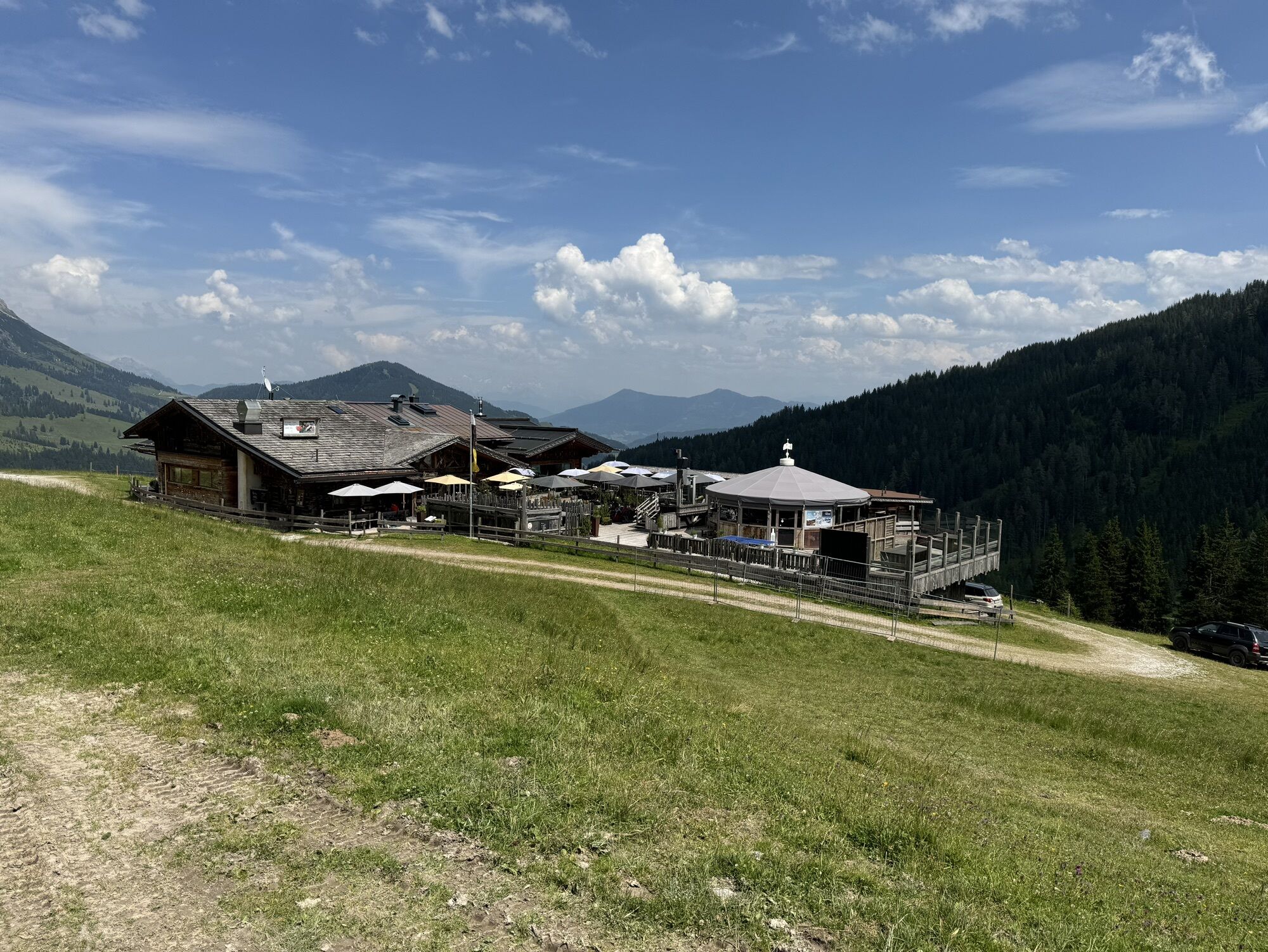
Relax on the sun terrace of the Tiergartenalm with a large cup of mulled wine.
Webcams del recorrido
-
Mühlbach am Hochkönig
-
Mühlbach am Hochkönig
-
Bergstation Kings Cab
-
Matrashaus am Hochkönig
-
Dienten - Übergossene Alm Resort
-
Dienten - Almsee
-
Dienten - Übergossene Alm Resort
-
Bergstation Kings Cab
-
Bergstation Kings Cab
-
Bergstation Kings Cab
-
Bergstation Kings Cab
-
Bergstation Kings Cab
-
Bergstation Kings Cab
-
Bergstation Kings Cab
Rutas populares en los alrededores
-
4,8
Ruta de ascenso a la cima Taghaube
pesadoSenderismo 6,25 km -
4,9
Hochkönig - Gipfel der Gefühle - Matrashaus
pesadoSenderismo 20,9 km -
3,8
Ascenso a la cumbre Hochkönig - ruta principal
pesadoSenderismo 18,1 km -
4,7
Caminata panorámica al Hochkeil
medioSenderismo 6,07 km -
4,8
Ruta conquistador de la cumbre Lauskopf
pesadoSenderismo 8,16 km -
3,6
Wanderung zur Ostpreußenhütte in Werfen (1.630 m)
medioSenderismo 11,2 km -
4,7
Sobre el "recorrido de las Cuatro Cabañas" a Windraucheggalm
medioSenderismo 10,1 km -
3,7
Auf die Ostpreussenhütte
medioSenderismo 16,6 km -
4,4
Riemannhaus
pesadoSenderismo 3,69 km -
3,9
Mühlbacher Höhenweg
medioSenderismo 11,2 km
Senderismo y rastreo


No se pierda las ofertas y la inspiración para sus próximas vacaciones
Su dirección de correo electrónico se ha añadido a la lista de correo.