Navegue por
Consigue este tour en tu móvil
Mapa
Panoramic hiking trail: from Saupsdorf to Altendorf
medio
Senderismo
19,20 km
Escanee el código QR e inicie la navegación en la aplicación bergfex
QR Code
Senderismo y rastreo

Panoramic hiking trail: from Saupsdorf to Altendorf
Distancia
19,20 km
Duración
04:49 h
Ascenso
556 m
Nivel del mar
129 - 493 m
Descarga de pistas
Mapa
Panoramic hiking trail: from Saupsdorf to Altendorf
medio
Senderismo
19,20 km

Parkplatz | Haltestelle Kiefricht - Kirnitzschtal - Bus zum Panoramaweg - Saupsdorf - Dr.-Alfred-Meiche-Weg - Hohe Straße - Hochbuschkuppe ( - Pfarrberg) -  Mittelndorf ( - Weinberg - Altendorf - Eichhübel....

Descripción de la

Parkplatz | Haltestelle Kiefricht - Kirnitzschtal - Bus zum Panoramaweg - Saupsdorf - Dr.-Alfred-Meiche-Weg - Hohe Straße - Hochbuschkuppe ( - Pfarrberg) -  Mittelndorf ( - Weinberg - Altendorf - Eichhübel. In Altendorf ( - Adamsberg) - Parkplatz bzw. der Haltestelle Kiefricht angekommen.

Ruta
Ruta
Mapa
Panoramic hiking trail: from Saupsdorf to Altendorf
medio
Senderismo
19,20 km
Información turística

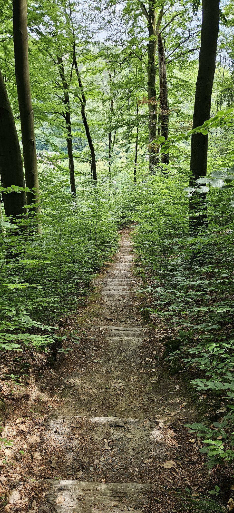
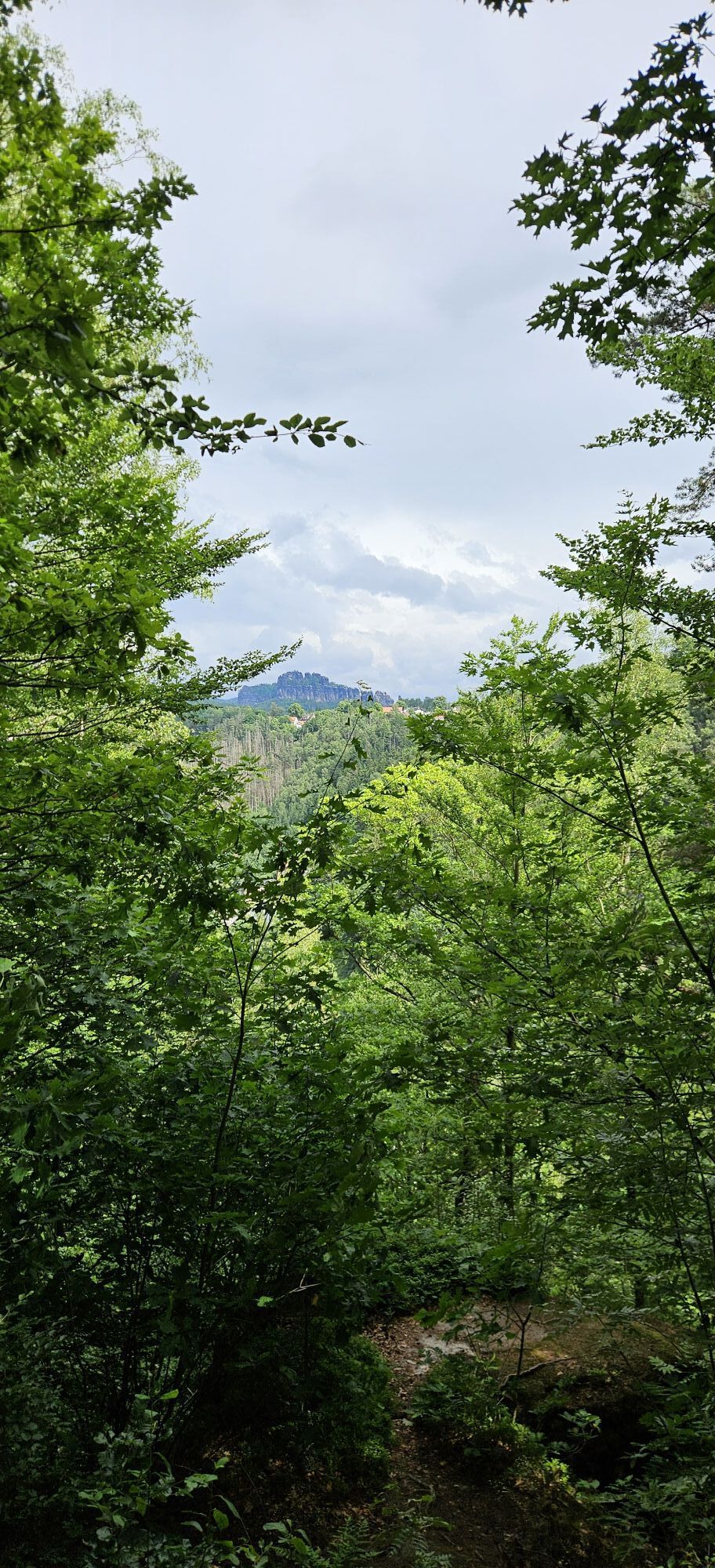
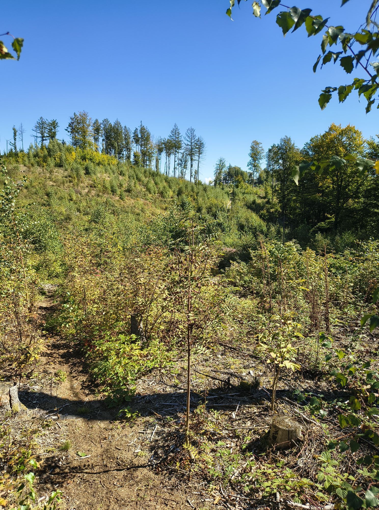
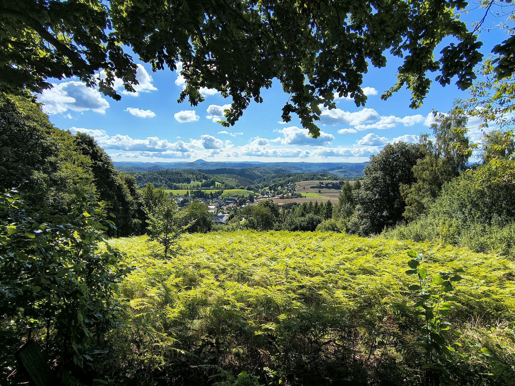
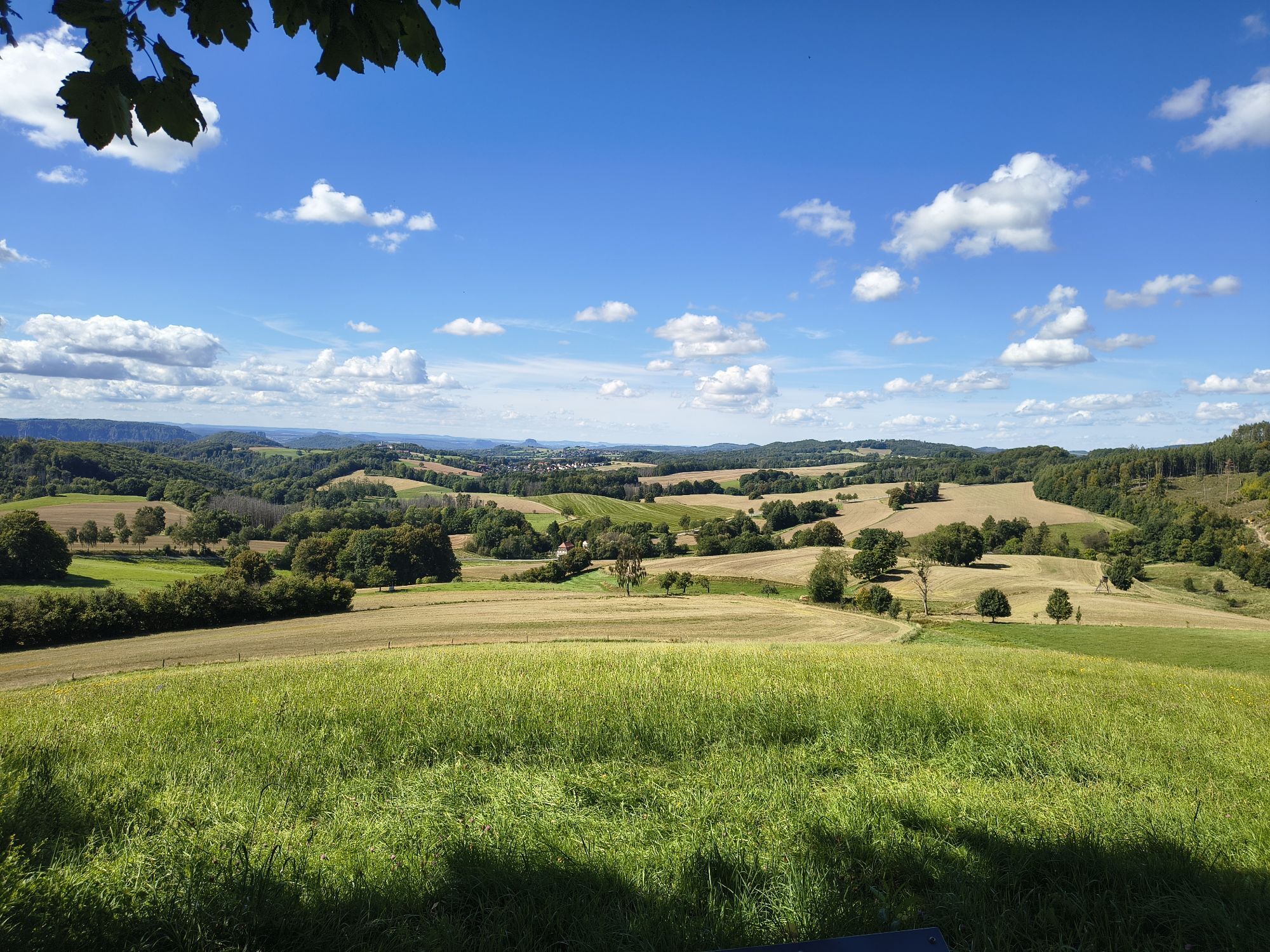
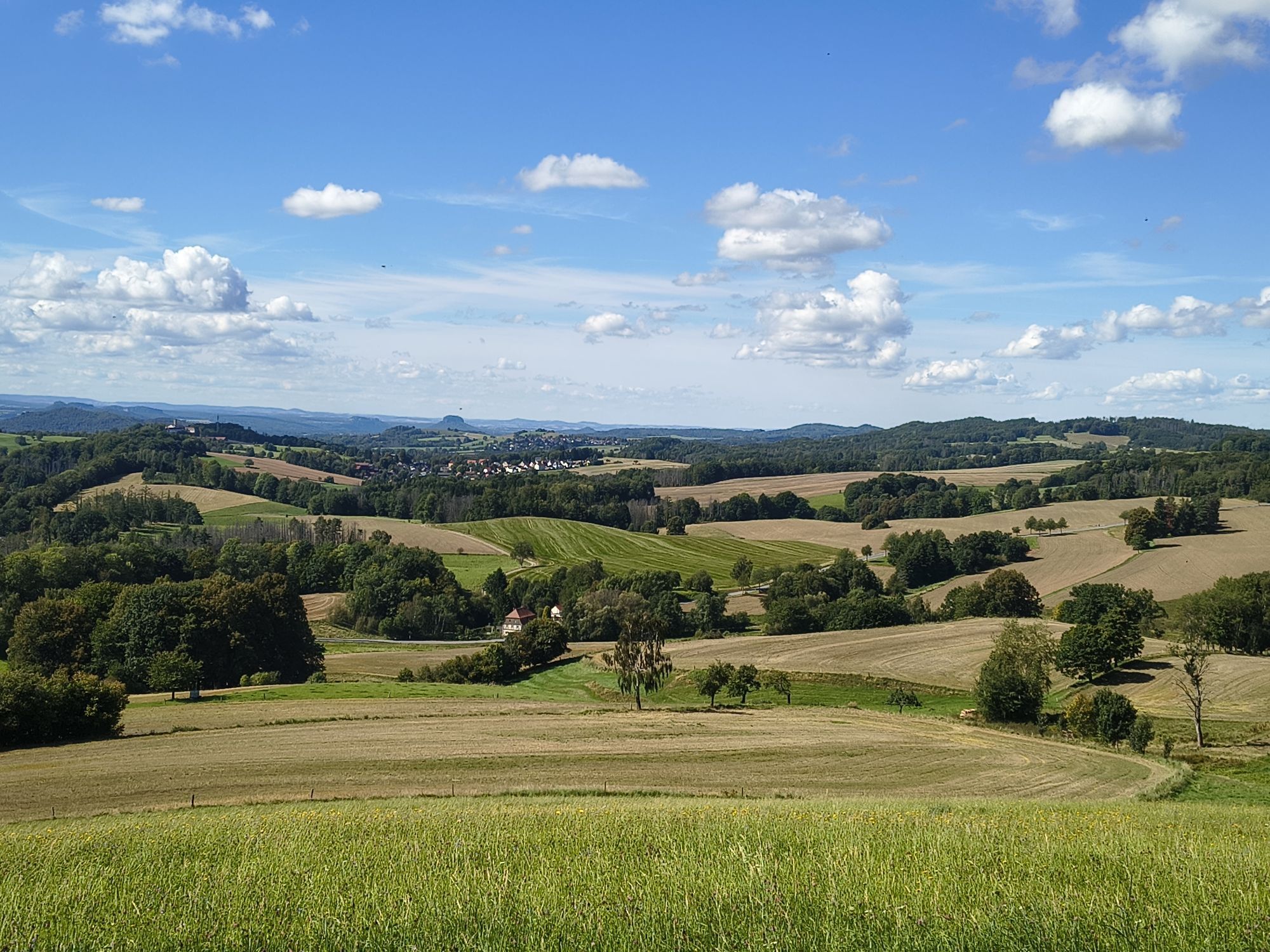
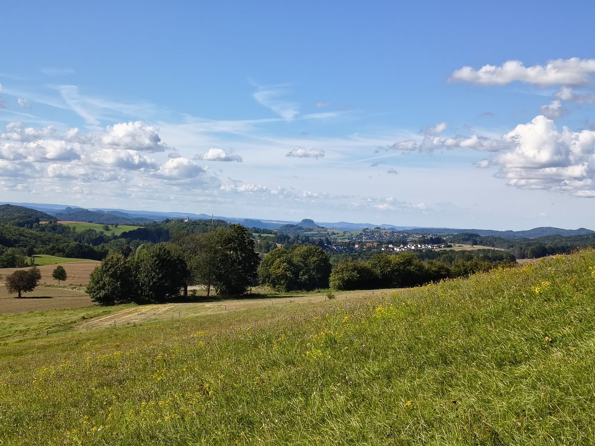
No trail in the Elbe Sandstone Mountains deserves more to be called a panorama trail. Impressive views of the Winterberg massif, the Schrammstein chain or the Affensteine area dominate this approx. 18-kilometre-long route, on which there are no notable climbs to master. Benches and tables invite you to rest at the most beautiful spots. Those who walk this trail can expect an unforgettable landscape experience that even old Elbe Sandstone connoisseurs rave about.No trail in the Elbe Sandstone Mountains is more deserving of the designation Panorama Trail. Impressive views of the Winterberg massif, the Schrammstein chain or the Affensteine area dominate this approx. 18-kilometre-long route, on which there are no notable climbs to master. Benches and tables invite you to rest at the most beautiful spots. Those who walk this path can expect an unforgettable landscape experience that even old Elbe sandstone connoisseurs rave about.

Tecnología
n.d.
Condición
2 / 6
Paisaje
6 / 6
Experiencia
n.d.
Autor
Proporcionado por Tourismusverband Sächsische Schweiz
Compartir gira
Mapa
Panoramic hiking trail: from Saupsdorf to Altendorf
medio
Senderismo
19,20 km
Error
Se ha producido un error. Por favor, inténtelo de nuevo.
Información sobre la ruta
Ruta
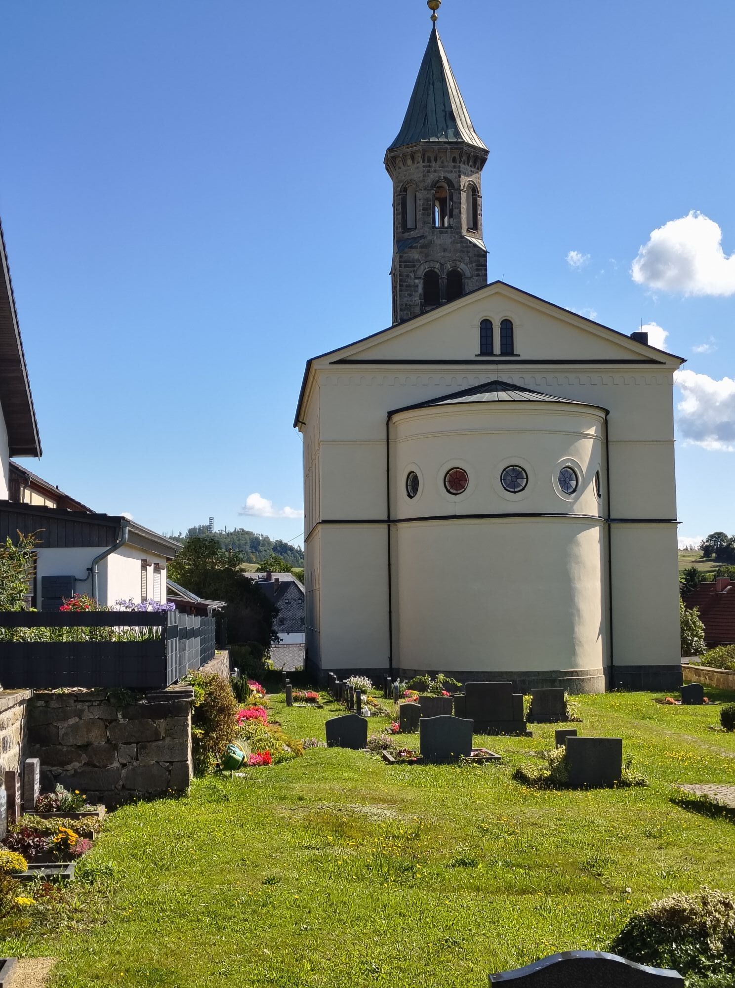
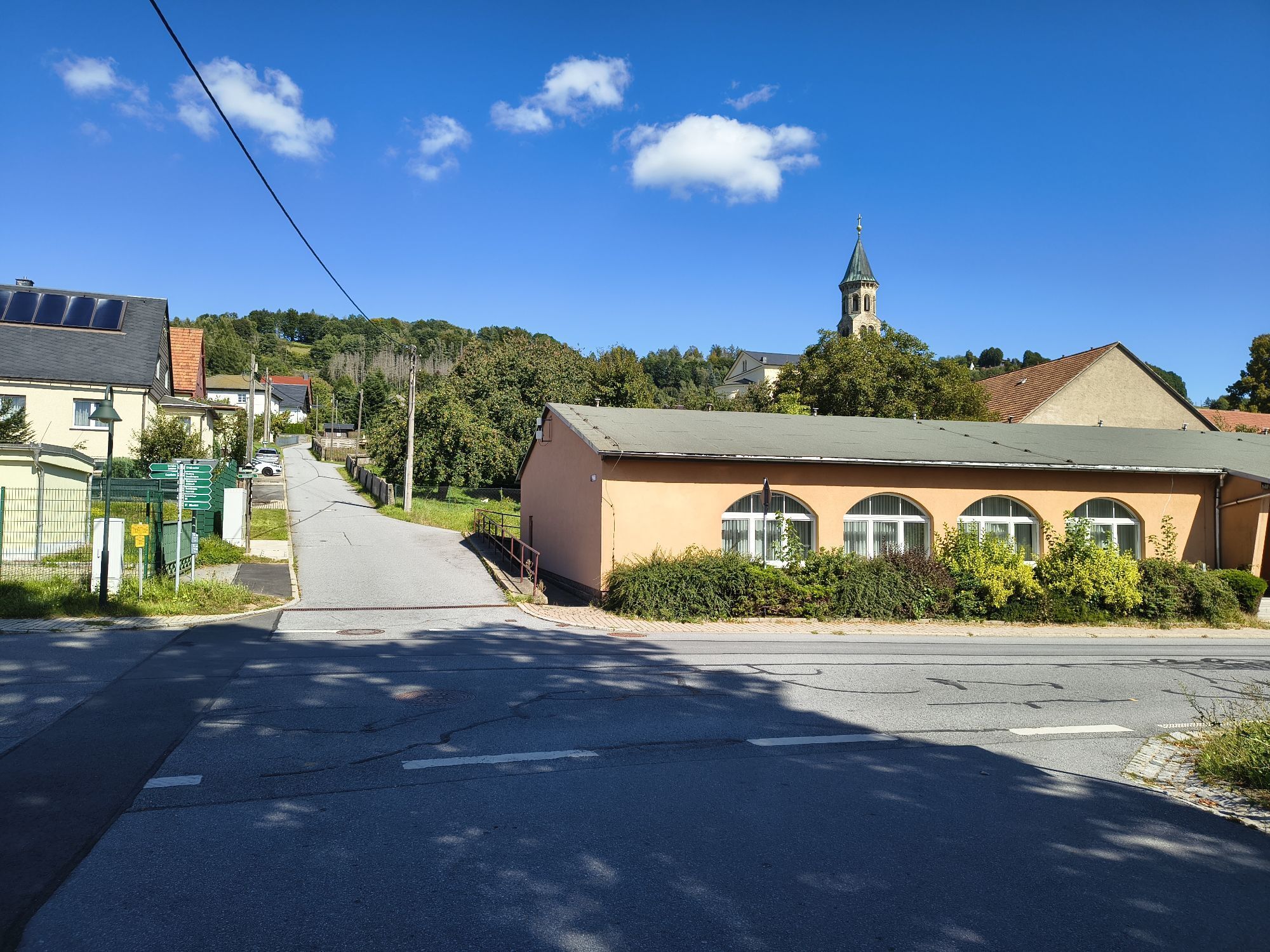
The panoramic hiking trail begins at the parking lot Kiefricht, which is located about 1.4 km above Bad Schandau in the direction of Sebnitz. Bad Schandau can be reached by many bus lines, by boat, by S-Bahn and by Eurocity or by own car via B 172. Our first section is not more than one kilometer long. We walk from the Kiefricht parking lot down into the Kirnitzsch Valley, where we wait for our bus to take us to the starting point of the Panorama Trail. Actually, Saupsdorf is the end point of the Panorama Trail, but due to the better public transport connection in this direction, this variant is suggested here. In addition, the hike is less strenuous, as it is mostly downhill. Arrived in Saupsdorf, the 496 meter high Wachberg immediately catches the eye, which offers a beautiful view, but does not necessarily have to be included in the tour. We now walk out of Saupsdorf and soon find ourselves on the Dr.-Alfred-Meiche-Weg, which leads in the direction of Sebnitz. After about 3 kilometers we have to walk a short piece of road, then leave this path and turn left into Hohe Straße. Our tour leads along this former medieval trade route for a long time, sweetened by some beautiful views, until we pass the Hochbuschkuppe and reach the Kirnitzschtal district of Lichtenhain. Here there is the possibility of a rest, but also to climb the local mountain of Lichtenhain, the Pfarrberg, which offers a panoramic view. The panoramic hiking trail now continues in the direction of Mittelndorf, where perhaps the best panorama of this hiking tour awaits us shortly before entering the village, with numerous peaks and rock massifs. Mittelndorf also has a small mountain in front of the village with a panoramic view, the Weinberg. However, this is also not a fixed part of the tour and can be climbed depending on the condition and weather. From Mittelndorf we now hike to Altendorf. On this route, another view awaits us after about one kilometer, the Eichhübel. In Altendorf (also with a local mountain, the Adamsberg) the last section now awaits us. There are again great views, for example to the Lilienstein or to the Schrammsteinen. After about 2 kilometers we are back at the parking lot or the stop Kiefricht.

GPS data updated 2022

Material de la tarjeta

Order now: Hiking maps

Equipamiento

Hiking shoes required

Instrucciones de seguridad
Please note: in the Saxon Switzerland National Park, only marked trails may be used in the core zone! Fines may be imposed for violations.

designated routes

Información de llegada
Llegada

From Dresden, take the A17 to Pirna, then the B172 via Königstein to Bad Schandau. The border crossing to CR Hrensko - Decin is also signposted - a continuation to Prague is possible.

Transporte público
Arrival/departure:

with the S-Bahn S1 to Bad Schandau

Bus line 260 to the "Kiefricht" stop

Aparcamiento

Bad Schandau Kiefricht

Aún no hay opiniones
Escriba un comentario

Las opiniones ayudan a otros usuarios a elegir su próxima aventura. Por favor, valora solo el tour, no el tiempo o tu aperitivo.

Seleccione una de las estrellas para puntuar el recorrido
Mal tour
Gira débil
Visita mediocre
Buena visita
Excelente recorrido
Senderismo y rastreo

Senderismo y rastreo

Senderismo y rastreo
Más de 550.000 sugerencias de excursiones, mapas detallados y un intuitivo planificador de rutas hacen de esta aplicación una herramienta imprescindible para todos los amantes de la naturaleza.
bergfex