Navegue por
Consigue este tour en tu móvil
Mapa
Spree Cycle Route – From the River’s Source to Local Lakes
luz
Ciclismo
122,47 km
Escanee el código QR e inicie la navegación en la aplicación bergfex
QR Code
Senderismo y rastreo

Spree Cycle Route – From the River’s Source to Local Lakes
Distancia
122,5 km
Duración
06:48 h
Ascenso
737 m
Nivel del mar
99 - 476 m
Descarga de pistas
Mapa
Spree Cycle Route – From the River’s Source to Local Lakes
luz
Ciclismo
122,47 km

One of the three sources of the Spree is right in the middle of a beech grove in Kottmar, and this is where the Spree Cycle Route starts. The track winds its way through the picturesque hills of the “Lausitzer...

Descripción de la

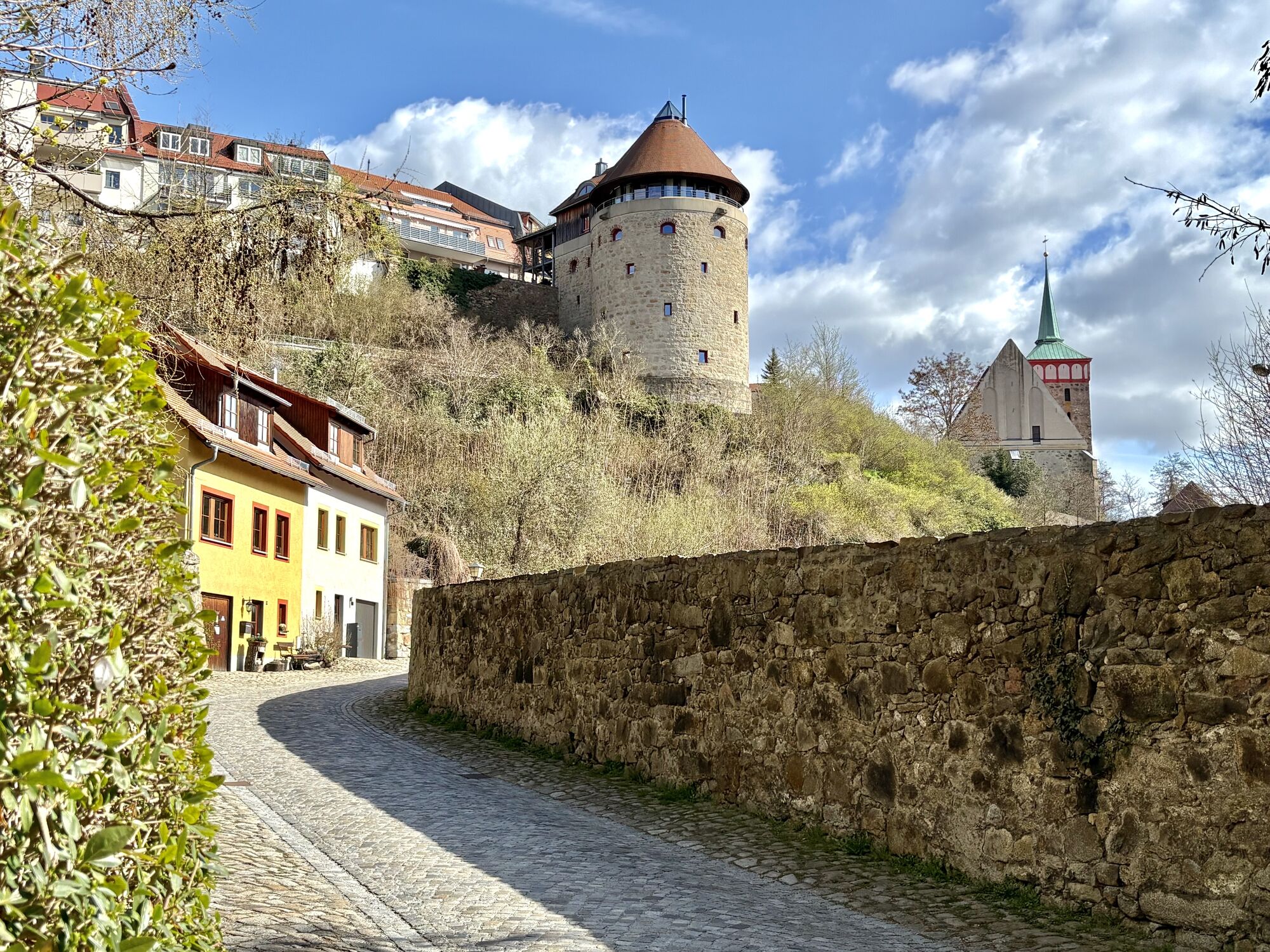
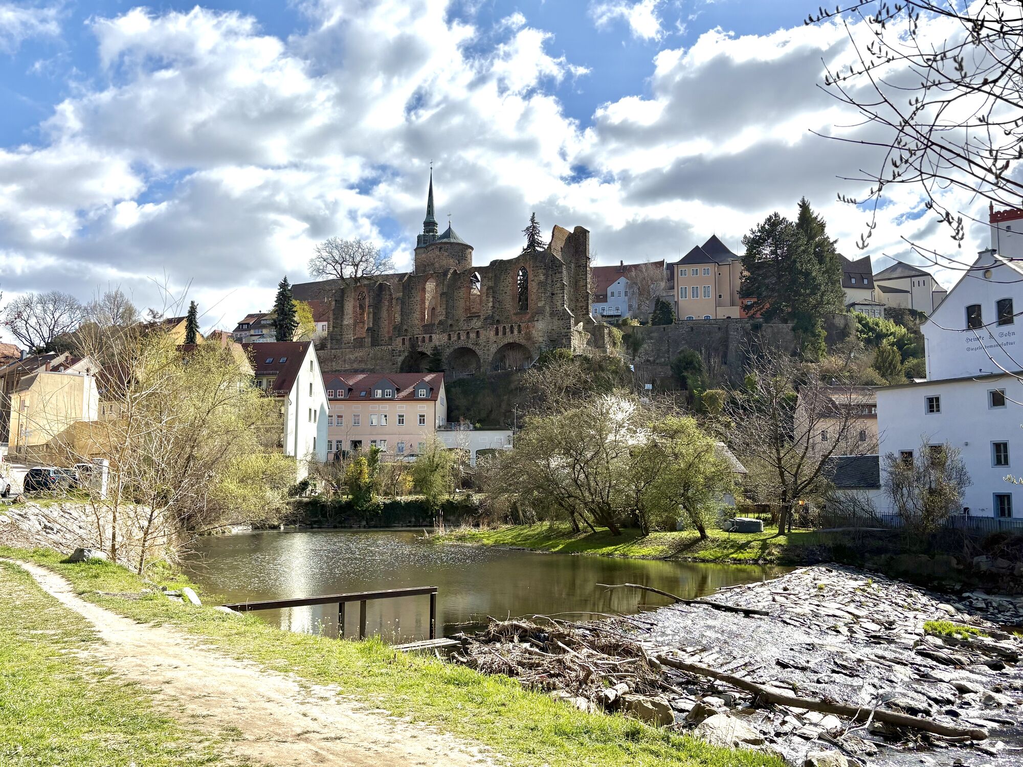
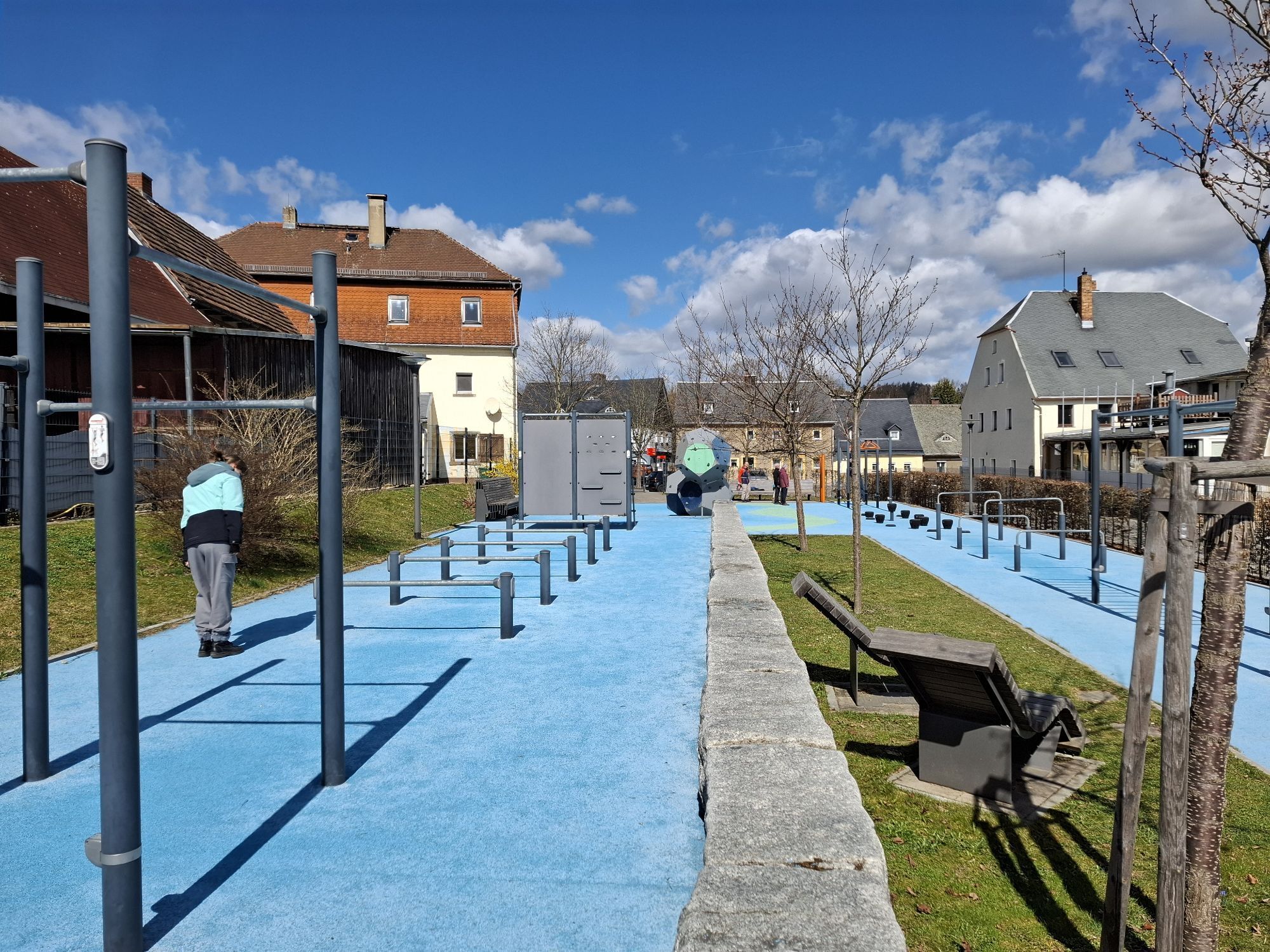
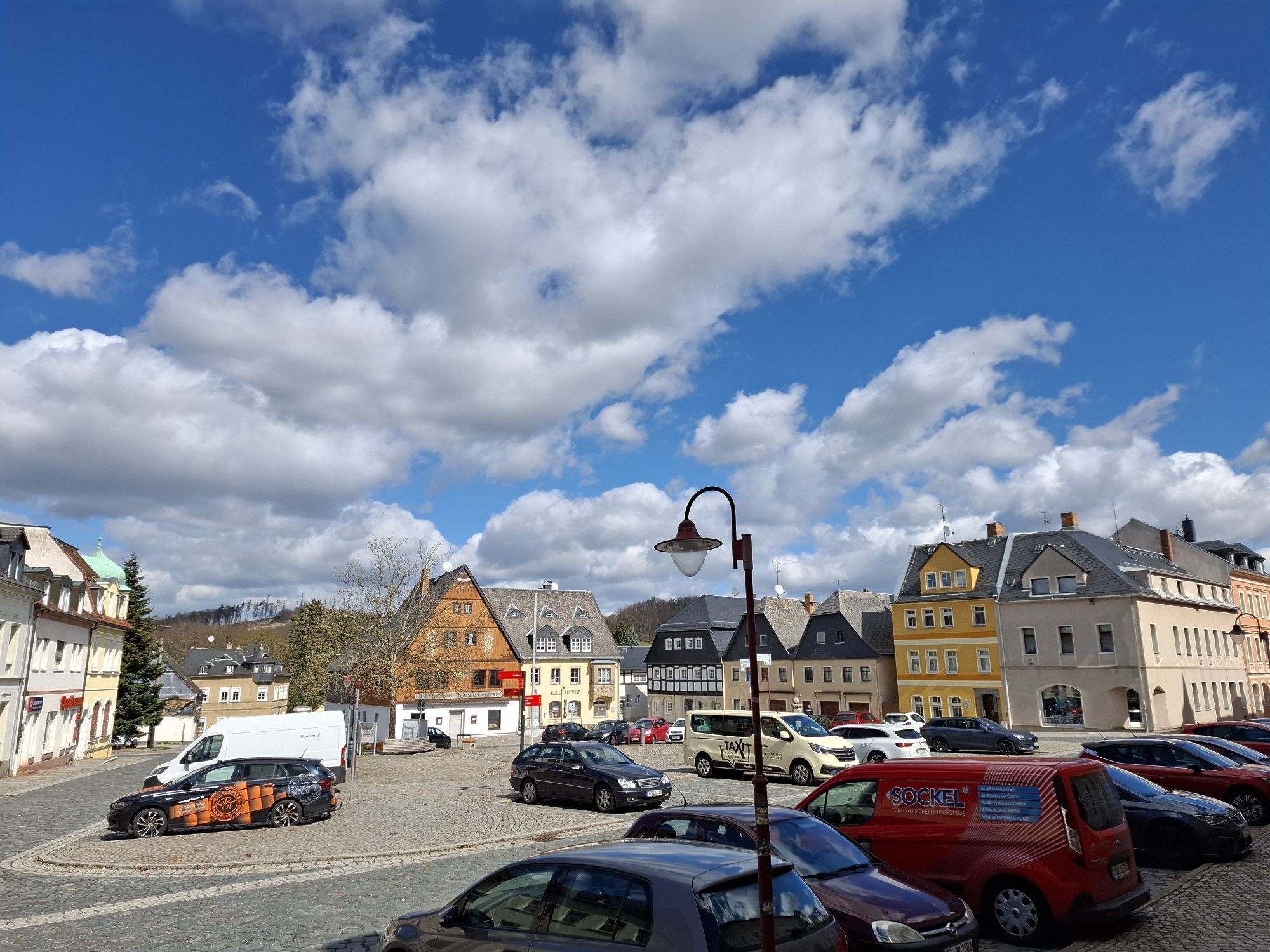
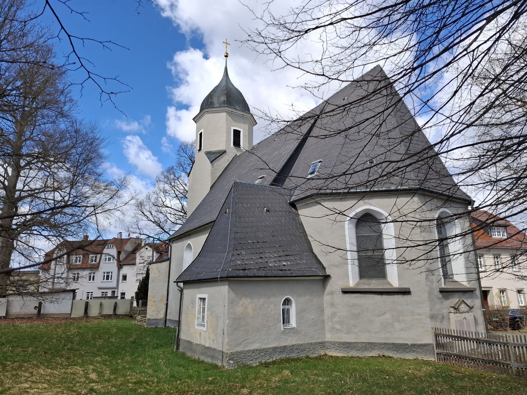
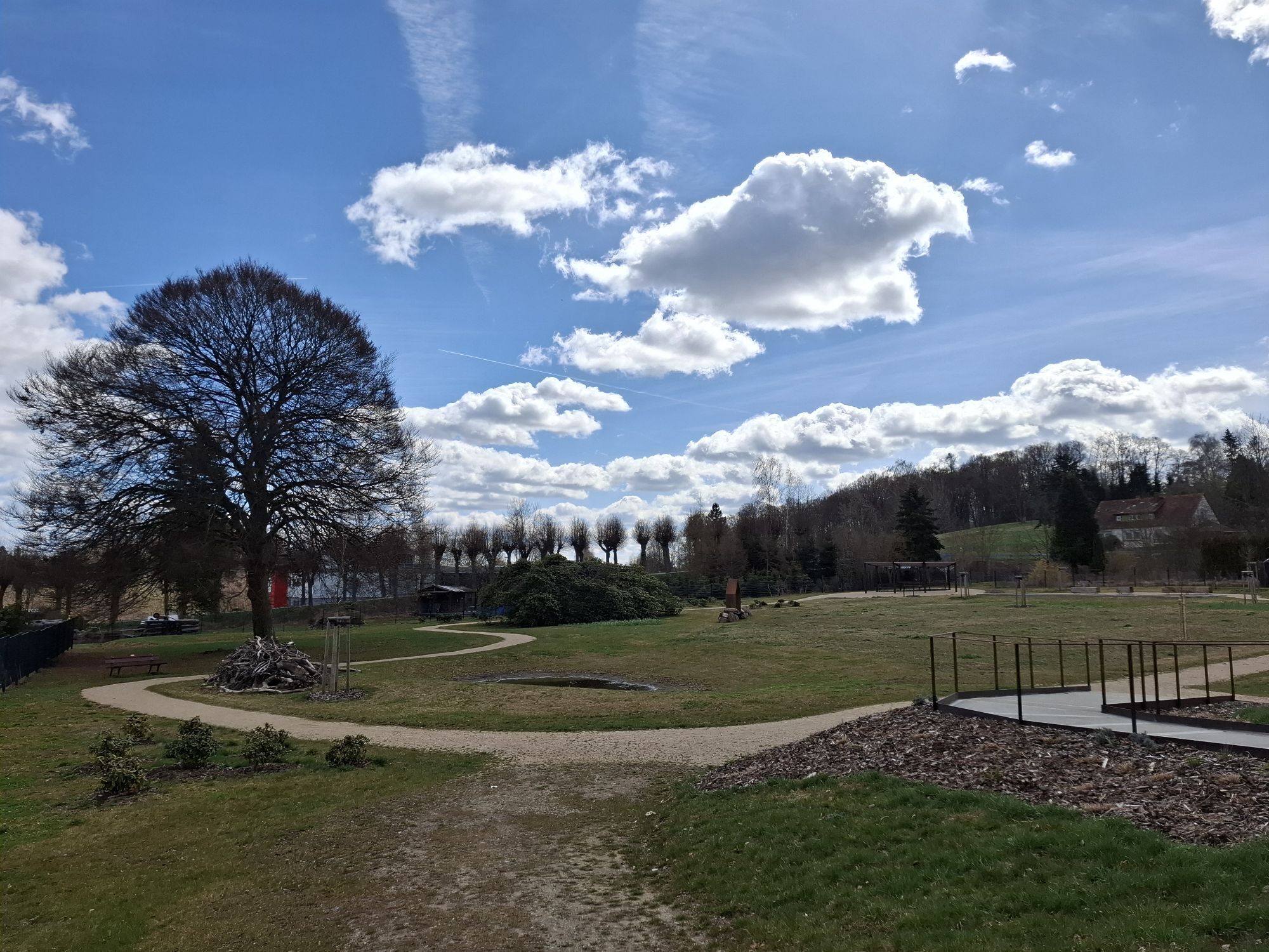
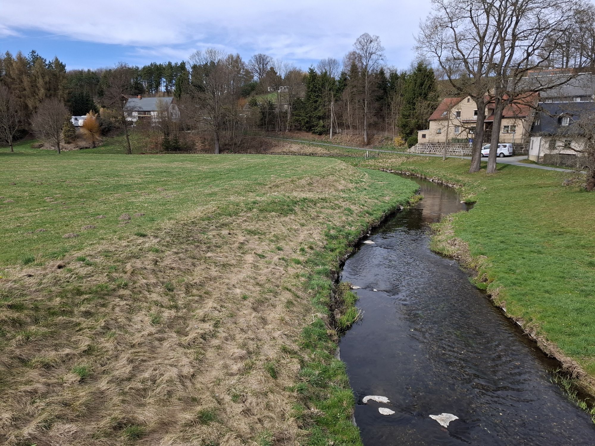
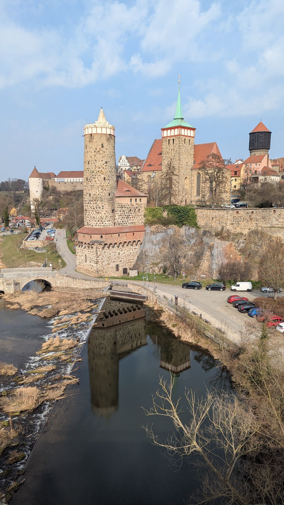
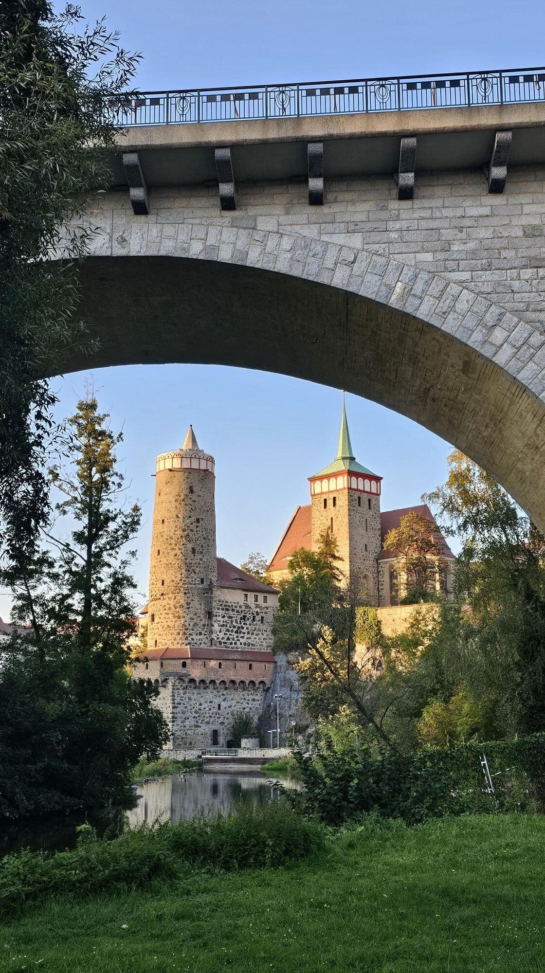
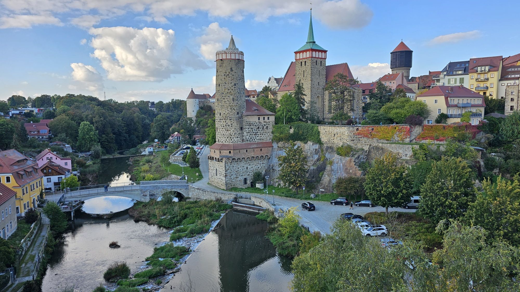
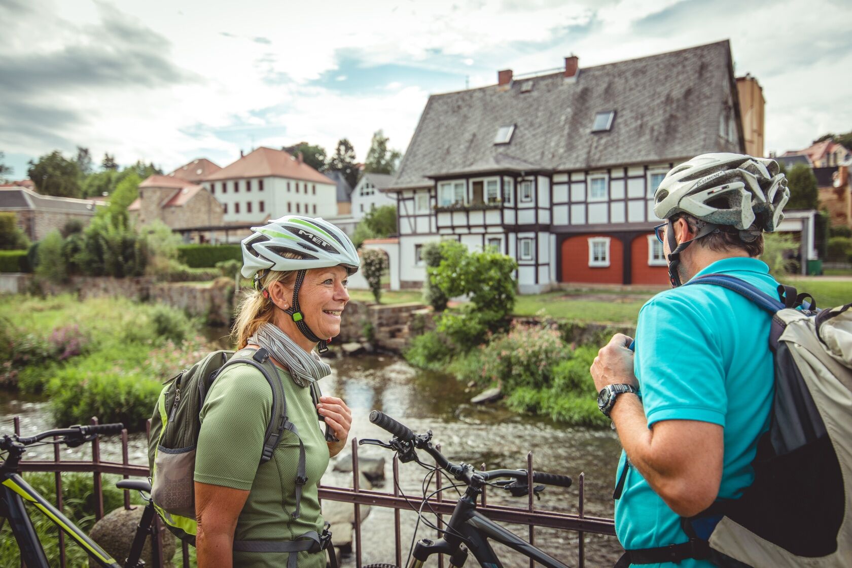
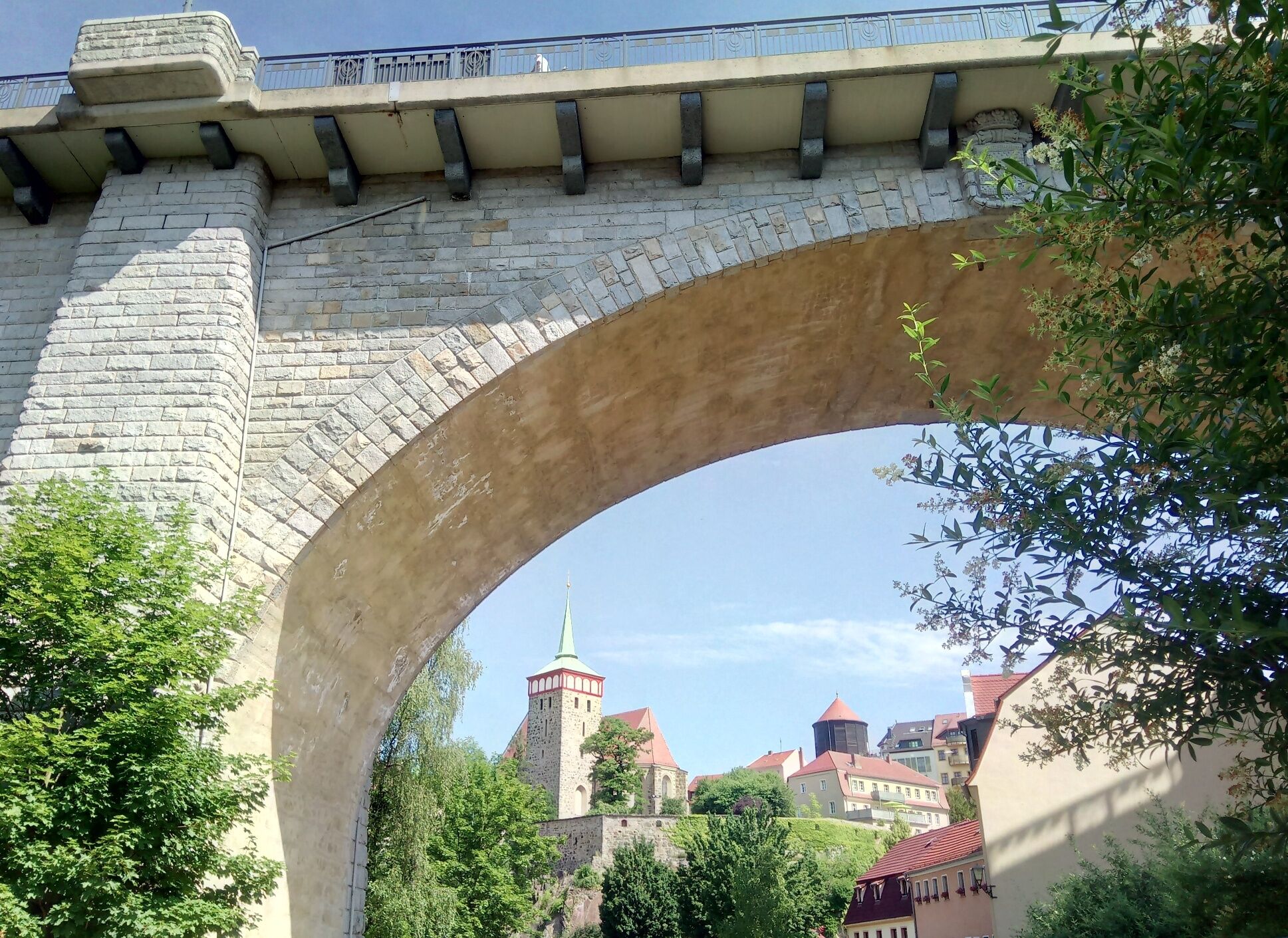
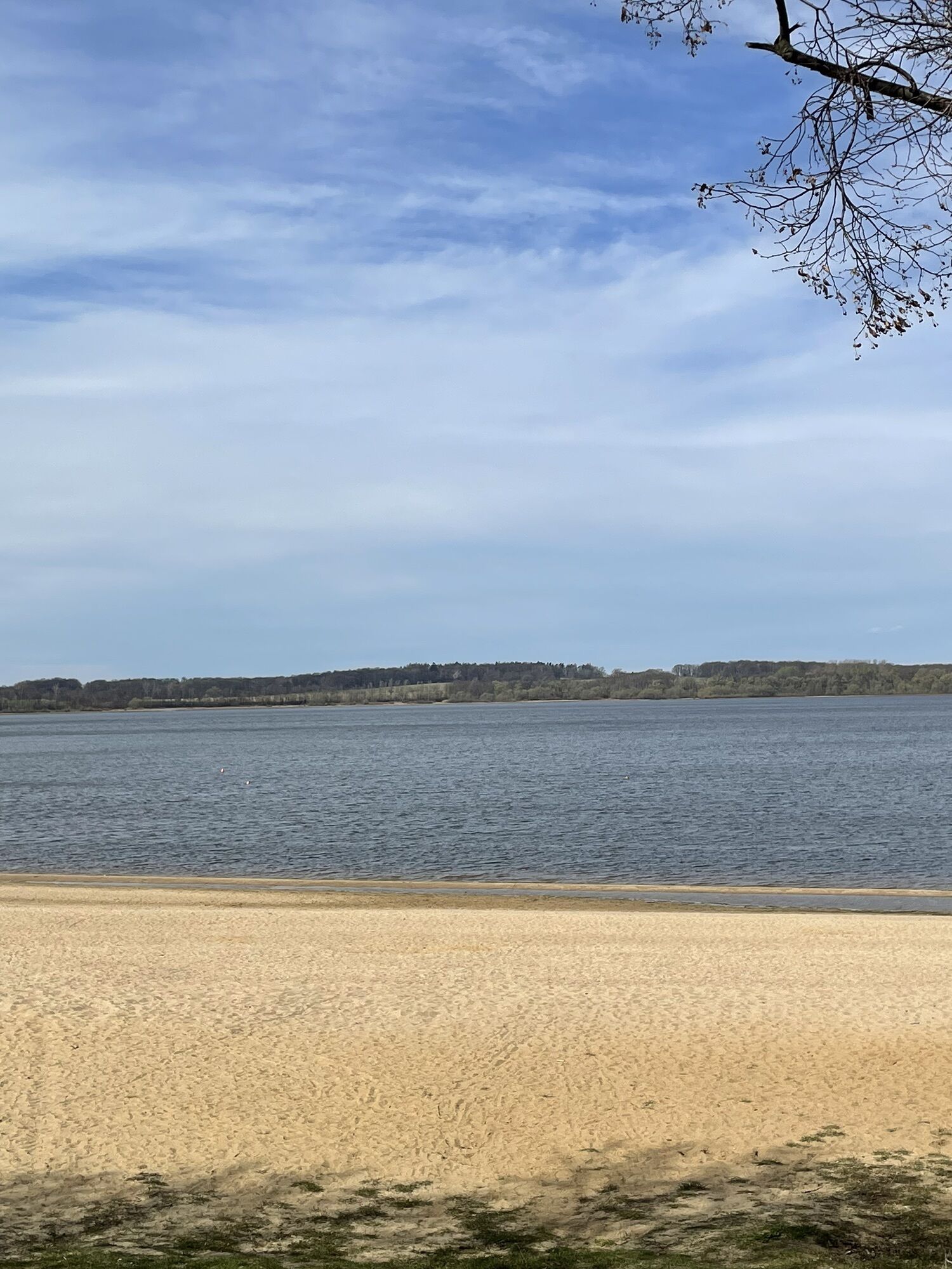
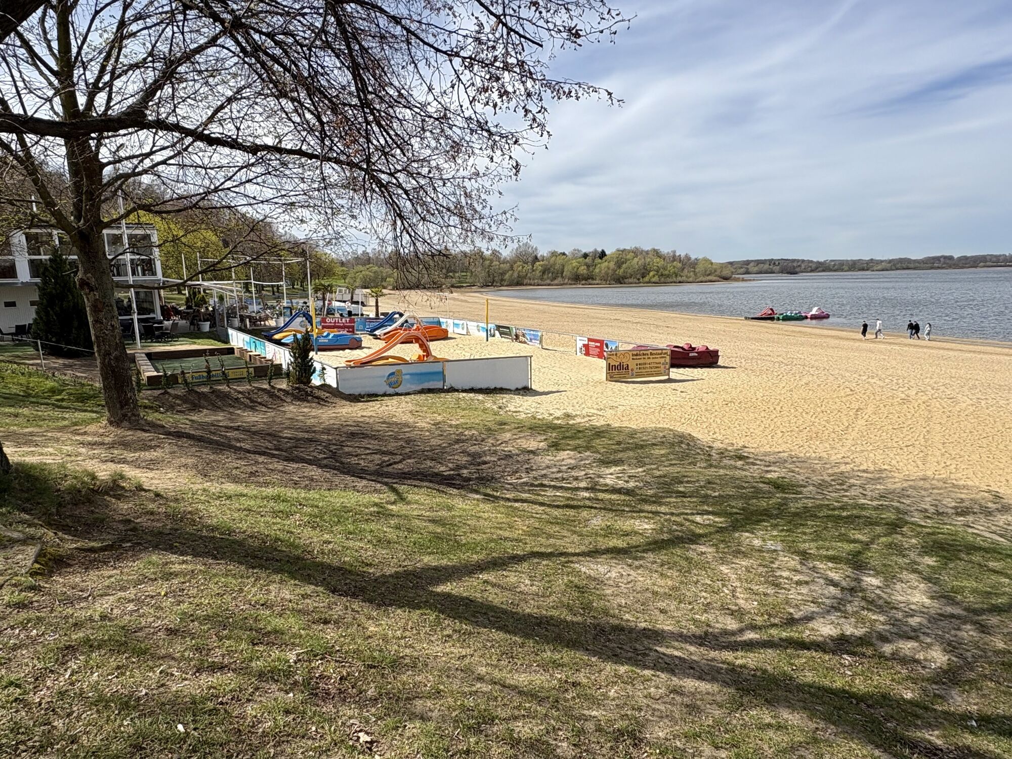
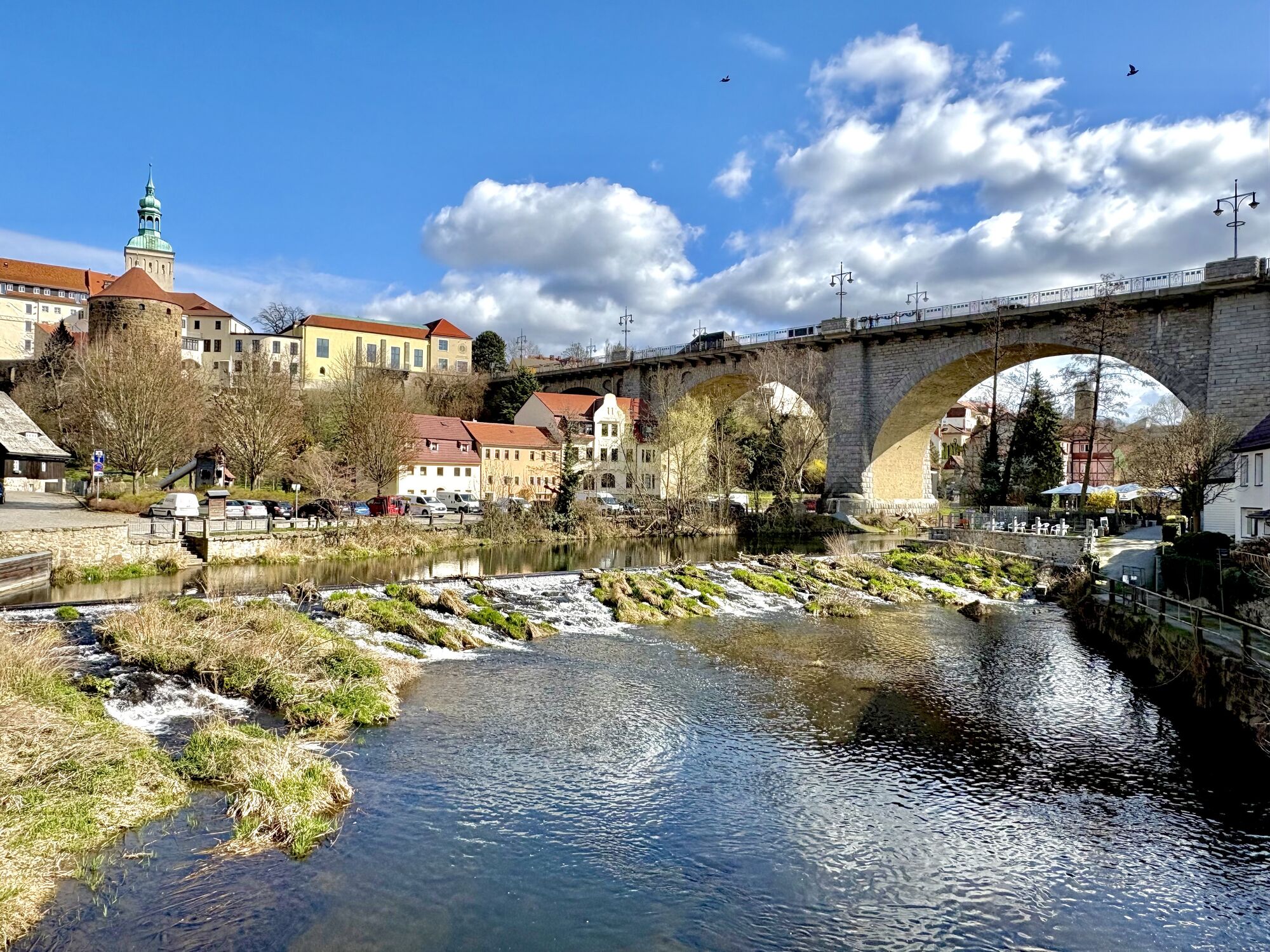
One of the three sources of the Spree is right in the middle of a beech grove in Kottmar, and this is where the Spree Cycle Route starts. The track winds its way through the picturesque hills of the “Lausitzer Bergland“ to the fascinating UNESCO protected heathland and pond landscape of the Oberlausitz (Upper Lusatia) region. After 120 kilometres, the route ends in a lakeland featuring “Bärwalder See“ as a successful example of regenerating a region that used to be dominated by open pit mining. A number of other cycle routes cross the Spree track, offering attractive detours. However, the Spree Cycle Route features enough sights as it is: There’s the region’s traditional architecture to be seen in the Schirgiswalde area, the towers of Bautzen, Bärwald lake for a swim or the blissfully deserted open spaces between the Oberlausitz‘ ponds.

Ruta
Ruta
Mapa
Spree Cycle Route – From the River’s Source to Local Lakes
luz
Ciclismo
122,47 km
Walddorf
(396 m)
Pueblo
1,4 km
Brauhaus im Faktorenhof
(380 m)
Restaurante
2,2 km
Spreequelle
(405 m)
Fuente
6,0 km
Ebersbach
(349 m)
Barrio
11,3 km
Schweizerhaus
(362 m)
Restaurante
12,0 km
Haine
(389 m)
Barrio
12,4 km
Hempel
(354 m)
Corredor/terreno
13,8 km
Neufriedersdorf
(339 m)
Liquidación
16,3 km
Neuspremberg
(333 m)
Liquidación
16,7 km
Dreifaltigkeitskirche
(333 m)
Lugar de culto
18,0 km
Neusalza-Spremberg
(330 m)
Barrio
18,4 km
Restaurant L'Unico
(330 m)
Restaurante
18,8 km
Bierhalle
(330 m)
Restaurante
18,9 km
Zur alten Molkerei
(326 m)
Restaurante
19,0 km
Neusalza-Spremberg
(325 m)
Ciudad
19,4 km
Taubenheim/Spree
(308 m)
Pueblo
24,1 km
Sohland an der Spree
(302 m)
Pueblo
27,9 km
Am Frühlingsberg
(293 m)
Liquidación
28,8 km
Zippl Bräu
(294 m)
Restaurante
29,2 km
Gaststätte Am Stausee
(287 m)
Restaurante
29,4 km
Evangelische Freikirche Sohland
(288 m)
Lugar de culto
29,4 km
Schirgiswalde
(269 m)
Pueblo
31,8 km
Schirgiswalde-Kirschau
(250 m)
Ciudad
33,1 km
Callenberg
(283 m)
Pueblo
33,5 km
Kirschau
(252 m)
Pueblo
34,3 km
Rodewitz/Spree
(244 m)
Pueblo
35,8 km
Bederwitz
(241 m)
Pueblo
36,2 km
Eulowitz
(247 m)
Pueblo
37,4 km
Großpostwitz - Budestecy
(242 m)
Pueblo
38,8 km
St. Joseph
(232 m)
Lugar de culto
40,0 km
Großdöbschütz - Debsecy
(242 m)
Pueblo
41,2 km
Kleindöbschütz - Małe Debsecy
(237 m)
Pueblo
41,5 km
Obergurig - Hornja Hórka
(236 m)
Pueblo
41,8 km
Singwitz - Dźěžnikecy
(227 m)
Pueblo
43,5 km
Schlungwitz - Słónkecy
(222 m)
Pueblo
45,0 km
Doberschau - Dobruša
(233 m)
Pueblo
45,6 km
Grubschütz - Hrubjelčicy
(209 m)
Pueblo
46,8 km
Spreetal
(206 m)
Restaurante
46,9 km
Restaurant & Ballsaal “Spreetal”
(206 m)
Restaurante
46,9 km
Porsches Wiesen
(187 m)
Corredor/terreno
49,8 km
Bautzen - Budyšin
(204 m)
Ciudad
50,8 km
St. Michael Church
(205 m)
Lugar de culto
51,1 km
Seidau - Židow
(182 m)
Barrio
52,2 km
Flinz
(201 m)
Cumbre
55,4 km
Burk - Bórk
(181 m)
Pueblo
56,3 km
Quatitz - Chwaćicy
(185 m)
Pueblo
61,4 km
Sächsischer Jäger
(199 m)
Restaurante
64,0 km
Großdubrau - Wulka Dubrawa
(198 m)
Pueblo
64,5 km
Sdier - Zdźěr
(162 m)
Pueblo
67,3 km
Klix - Klukš
(148 m)
Pueblo
69,5 km
Brösa - Brězyna
(147 m)
Pueblo
71,7 km
Lömischau - Lemišow
(145 m)
Liquidación
75,0 km
Zur Guten Laune
(149 m)
Restaurante
75,4 km
Neulömischau/Ziegenfauze
(146 m)
Liquidación
76,5 km
Geißlitz - Kislica
(142 m)
Pueblo
78,6 km
Halbendorf/Spree - Połpica
(144 m)
Pueblo
78,6 km
Neudorf/Spree - Nowa Wjes
(140 m)
Pueblo
80,7 km
Lieske - Lěskej
(138 m)
Liquidación
83,8 km
Mönau - Manjow
(136 m)
Liquidación
86,3 km
Muskelkater
(140 m)
Restaurante
88,6 km
Gasthof Drei Linden
(132 m)
Restaurante
90,1 km
Uhyst (Spree) - Delni Wujězd
(131 m)
Pueblo
90,2 km
Sprey - Sprjowje
(126 m)
Liquidación
101,0 km
Ruhlmühle - Rula
(114 m)
Liquidación
108,8 km
Neustadt (Spree) - Nowe Město
(113 m)
Pueblo
110,8 km
Spreewitz - Sprjejcy
(107 m)
Pueblo
116,2 km
Spremberg - Grodk
(97 m)
Ciudad
122,3 km
Información turística

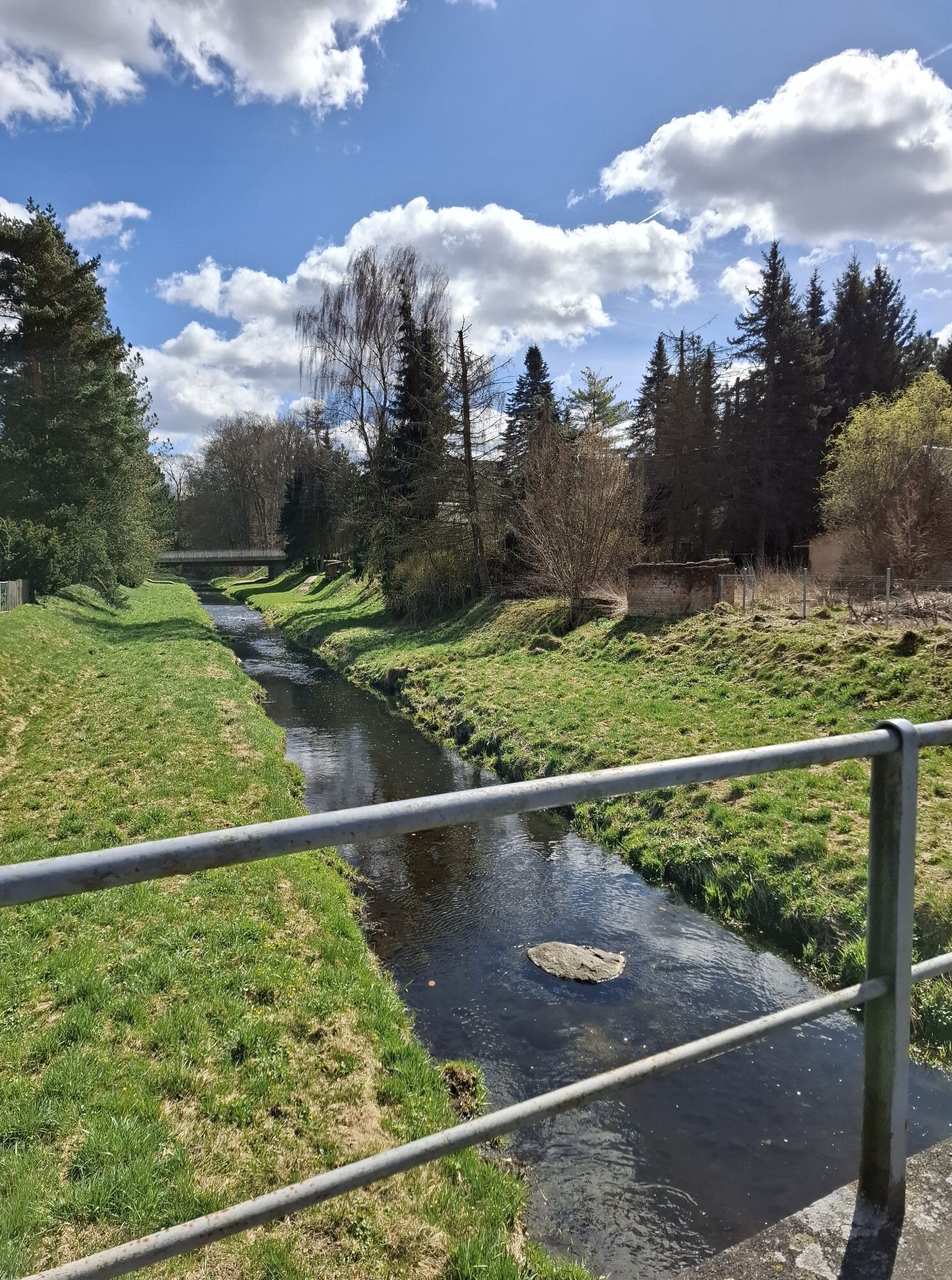
On 120 kilometres, this route along the river Spree features attractive and varied sceneries.

Tecnología
n.d.
Condición
1 / 6
Paisaje
5 / 6
Experiencia
n.d.
Autor
Proporcionado por Marketing-Gesellschaft Oberlausitz-Niederschlesien mbH
Compartir gira
Mapa
Spree Cycle Route – From the River’s Source to Local Lakes
luz
Ciclismo
122,47 km
Error
Se ha producido un error. Por favor, inténtelo de nuevo.
Información sobre la ruta
Material de la tarjeta
You can order a card here.
Equipamiento

Road-safe (e-) trekking bike, bicycle helmet, saddlebags or trekking bike backpack (approx. 35 liters) with rain cover, comfortable sports shoes, if necessary cycling shoes, weather-adapted and hard-wearing clothing based on the multi-layer principle, if necessary cycling tricots, a change of clothes, cycling gloves Air pump, bicycle tool, sun and rain protection, provisions and drinking water, drinking bottle and suitable holder, first aid kit, pocket knife, mobile phone, if necessary mobile phone holder for the handlebar, headlamp and reflectors, maps, travel documents, Toiletry bag and travel towel, hand washing detergent and clothesline, if necessary hut equipment

Instrucciones de seguridad

Please note the relocation of the Spreeradweg to Bautzen.

Información de llegada
Aparcamiento

Parkplätze am Kottmar: 

Parkplatz Spreequelle, Parkplatz an der Hauptstraße

Parkplätze in Bautzen: 

Touristenparkplatz Schliebenstraße, Parkplatz Schützenplatz

Parkplatz in Uhyst:
Parkplatz am Bärwalder See (kostenpflichtig)

Parkplatz in Spremberg:

Parkplatz in der Georgenstraße

Información adicional y consejos
Consejos

Plan the Spreeradweg in 2 stages

Aún no hay opiniones
Escriba un comentario

Las opiniones ayudan a otros usuarios a elegir su próxima aventura. Por favor, valora solo el tour, no el tiempo o tu aperitivo.

Seleccione una de las estrellas para puntuar el recorrido
Mal tour
Gira débil
Visita mediocre
Buena visita
Excelente recorrido
bergfex logo Infórmate Siempre en directo con más de 9.500 webcams. bergfex Como usuario Pro, ahora puede ver las webcams correspondientes a muchos tours en la app de tours desde. Esto le permite ver las condiciones actuales directamente.
Senderismo y rastreo

Senderismo y rastreo

Senderismo y rastreo
Más de 550.000 sugerencias de excursiones, mapas detallados y un intuitivo planificador de rutas hacen de esta aplicación una herramienta imprescindible para todos los amantes de la naturaleza.
bergfex